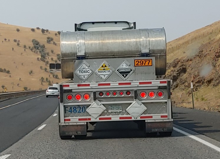
On the drive up to WA, I saw this placarded 18-Wheeler – would one placard not be enough? I thought this was pretty amusing – if it was radioactive, wouldn’t it automatically be toxic and corrosive? Probably on the way to Hanford to bury more radioactive waste.
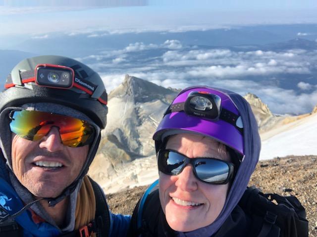
The first of two climbs that I had planned for the week was Mt. Baker. Mt. Baker is the third highest peak in WA. I enlisted the help of a friend/guide from the Salt Lake City area who, with his wife, was one of my guides on Mt. Rainier and also on Denali. Todd is an IFMGA (International Federation of Mountain Guides Association) certified mountain guide, one of only about 150 in the United States. He is one of the owners of Wasatch Mountain Guides and also guides for In The Company of Guides – since Joel has basically hung up his climbing gear due to knee issues and neither of the two peaks were great solo endeavors, Todd flew up and joined me.
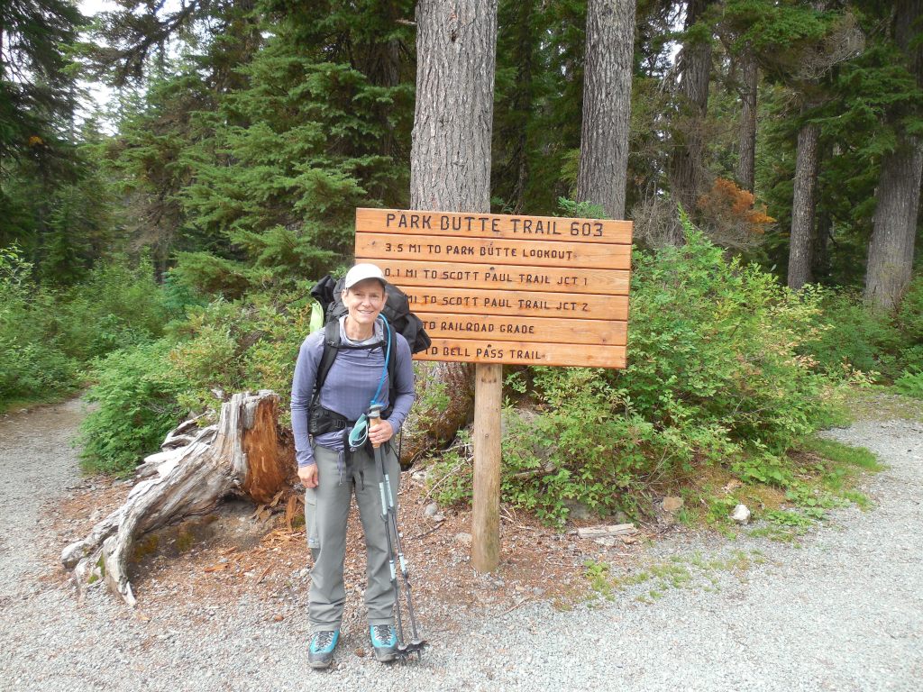
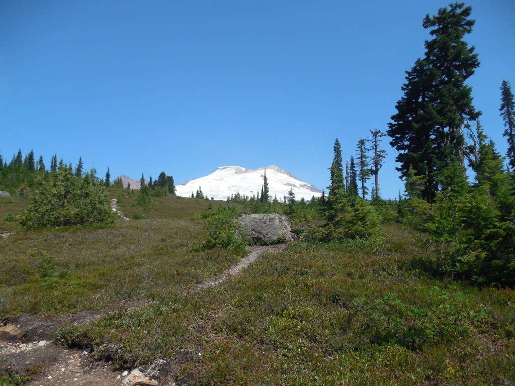
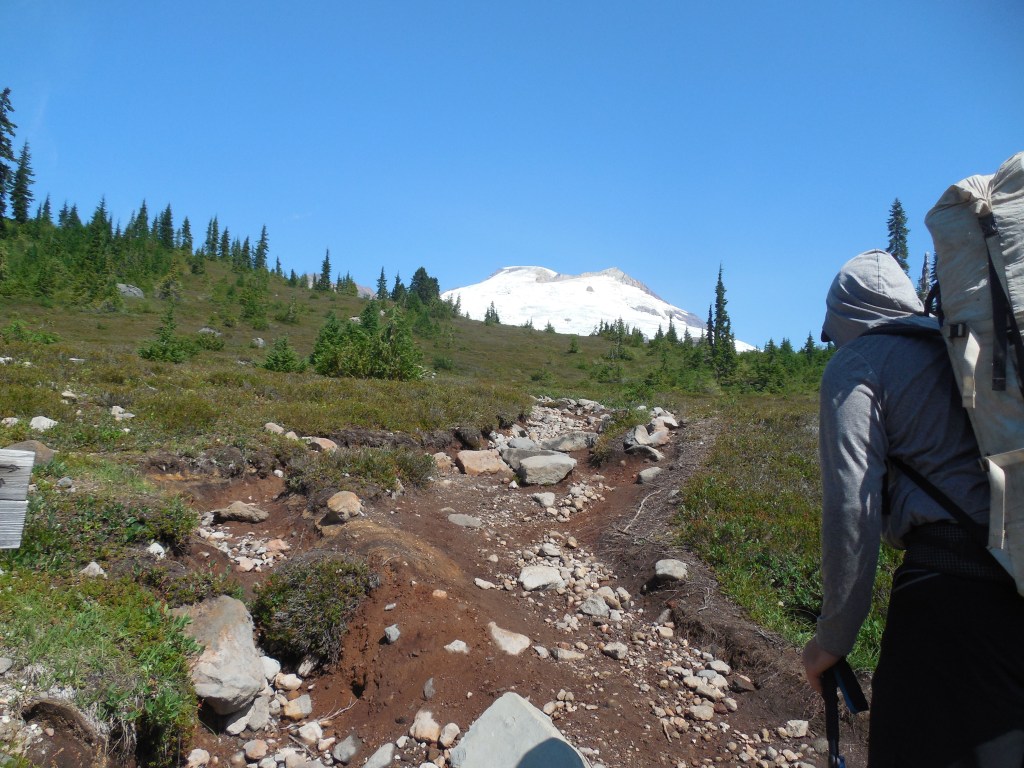
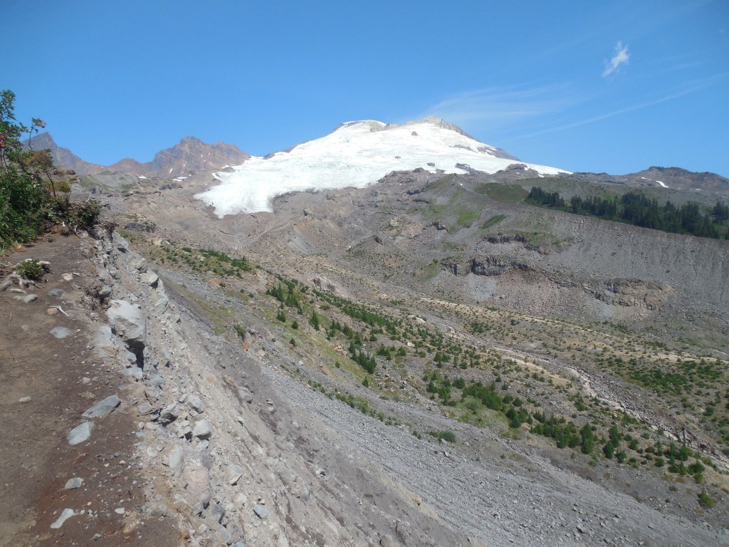
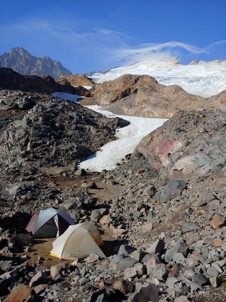
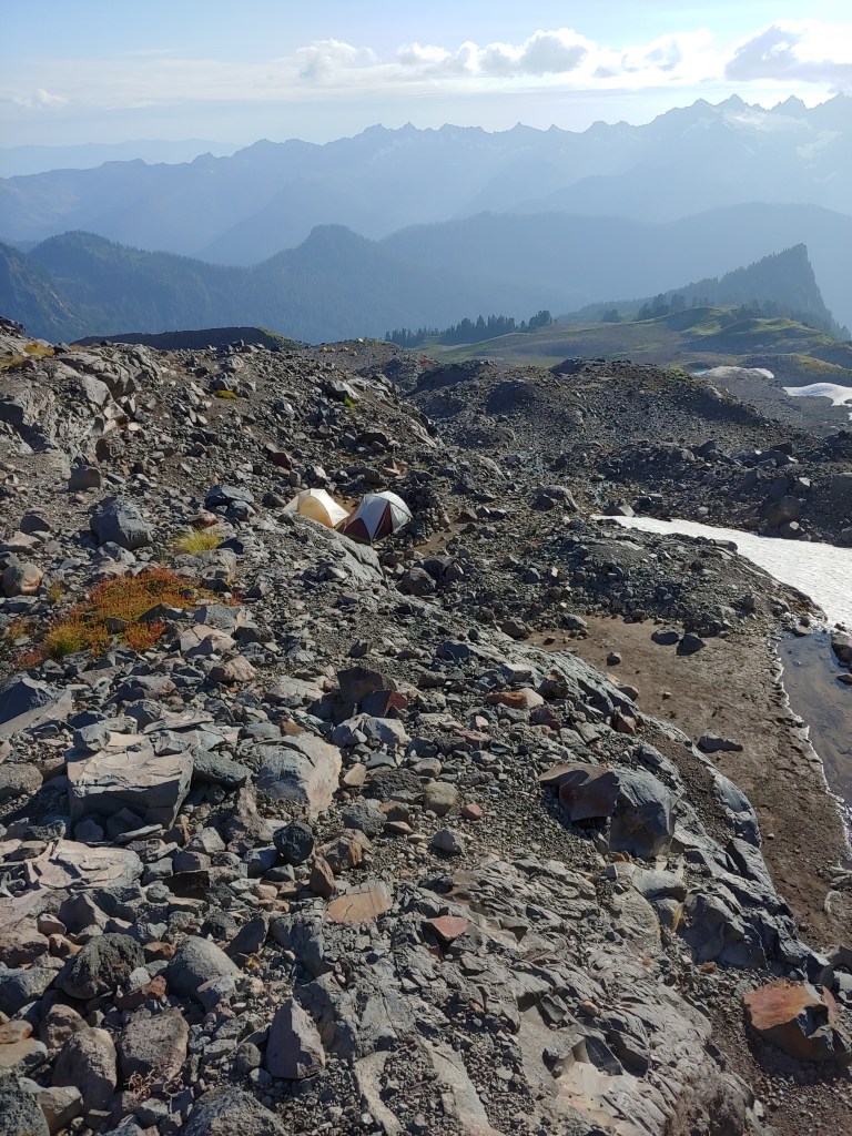
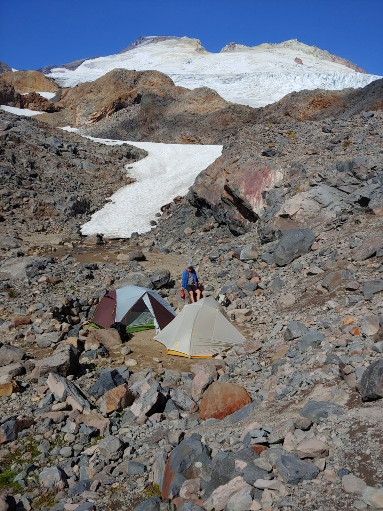
Larina and Bob drove me to the Ranger Station at Sedro Woolley where Todd picked me up. We then headed for Concrete, WA and the Easton Glacier Route. Due to hazardous rockfall issues on the northern routes, we chose the Easton Glacier approach. We did the approach climb up the Park Butte and Railroad Grade Trails to a camp at the glacier.
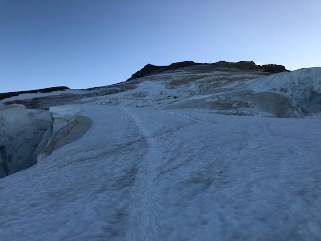
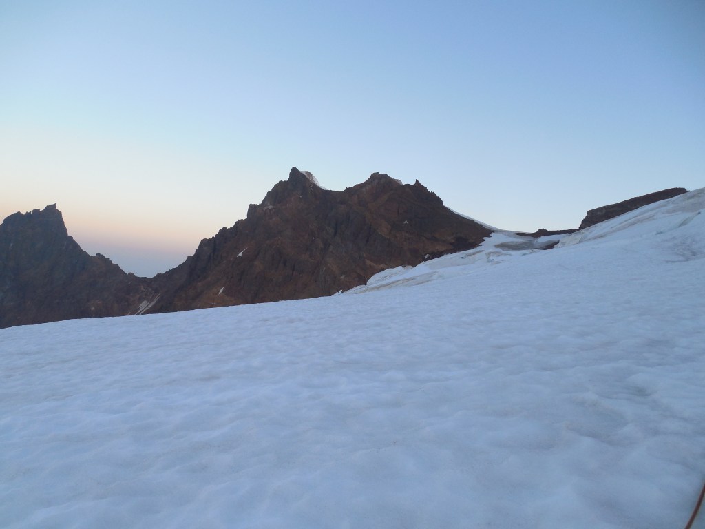
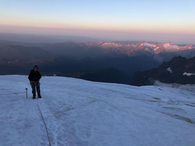
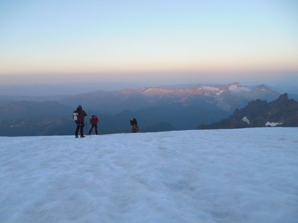
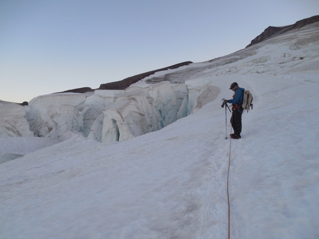
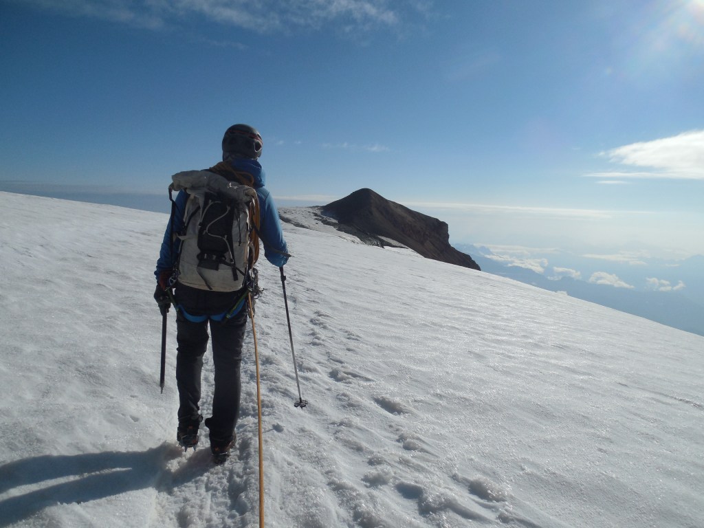
After unpacking and settling in for the evening we had a 3:00am wake up for a 4:00am start. It was nice to be up and on the trail while the snow was relatively cold, however it never got so cold as to get icy. The trail had been re-established recently and Todd had some friends at Alpine Ascents International that gave him the route beta – mostly to avoid the crevasses that were open and the snow bridges that were becoming risky to navigate over.
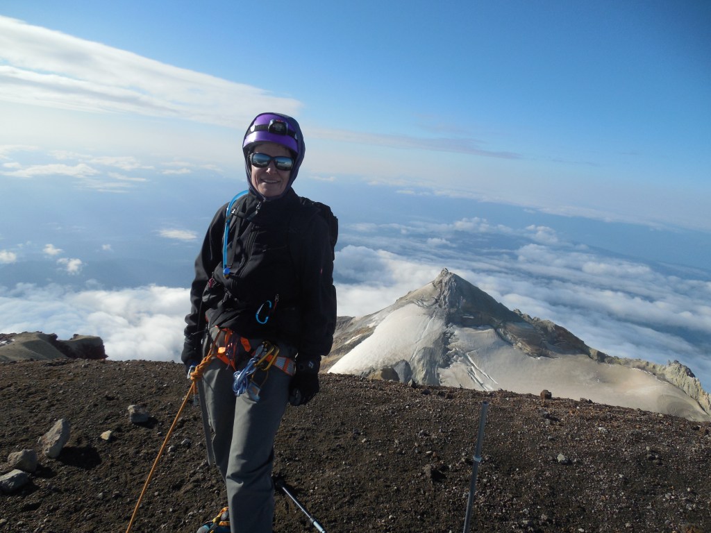
We were one of the first groups on the summit and it was a beautiful morning. We didn’t spend much time on the summit as the snow was getting pretty mushy on the way down. The summit day was about 7 1/2 hours up and back. We relaxed around camp for about an hour, then packed up and headed down to the car. I think the total route was about 13.5 miles.