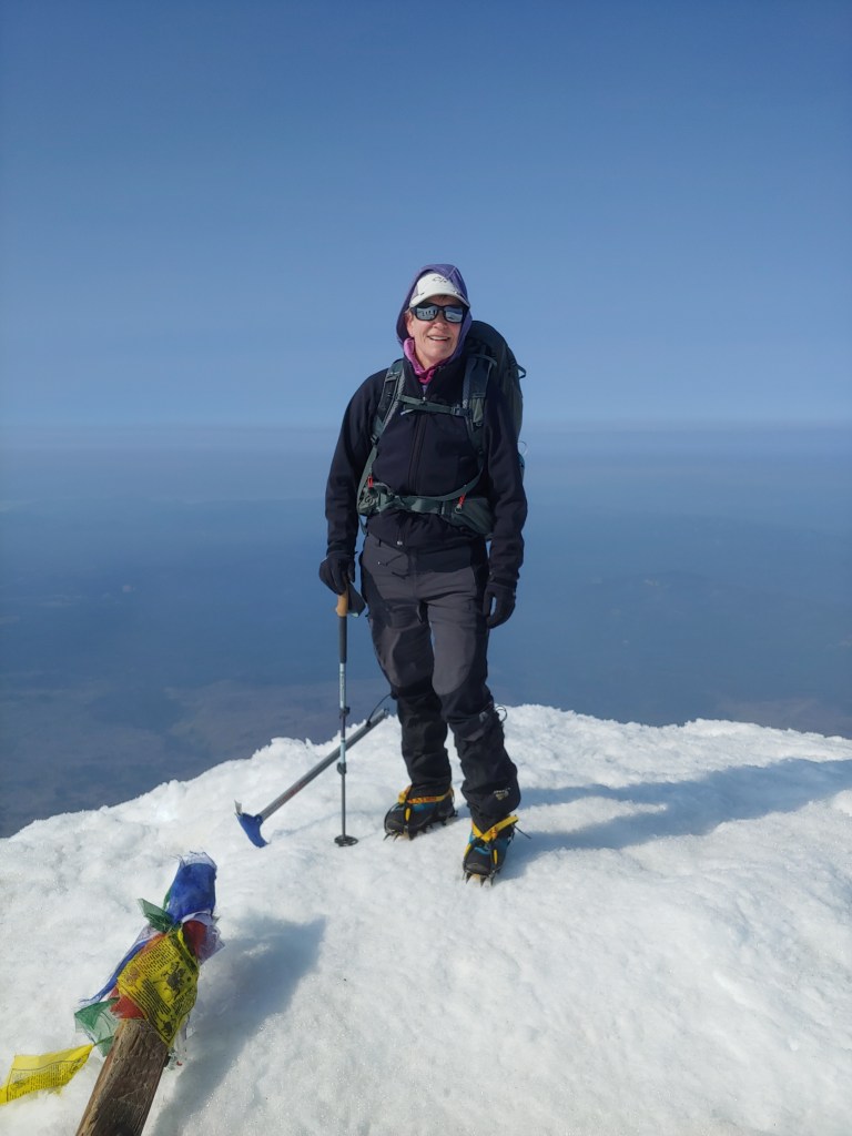
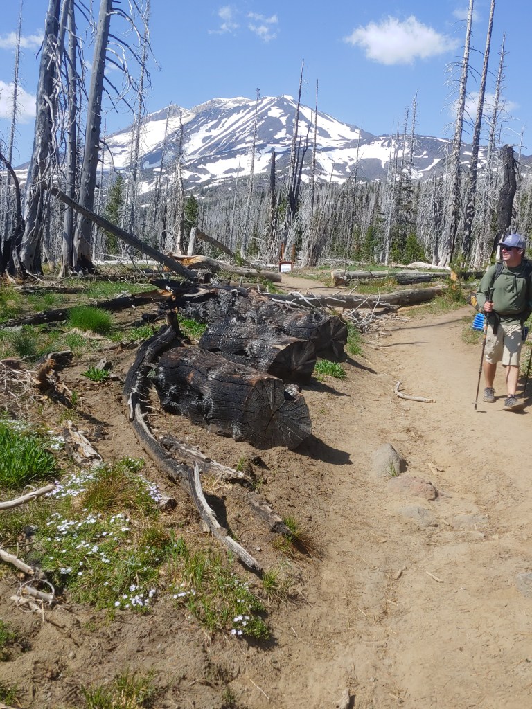
Mount Adams is the second tallest peak in Washington State and it was the last on my list to complete of the 5 Washington State Volcanos. Strict advice was given by Dad last July as he informed me that, “Your Mother and I do not want you to climb Mt. Adams alone.” OK, followed his advice and enlisted the folks at Alpine Ascents.
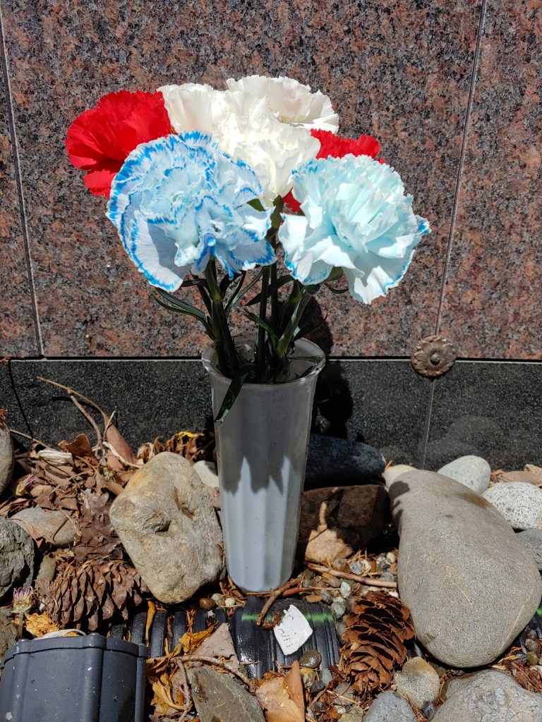
We had to meet one day prior to the start of the climb to do a gear check at their office so I headed up to the Seattle/Bellevue area for the 7th or 8th trip so far this year and stopped by to see Mom for about 1/2 of a day. As the Fourth of July Holiday was in 2 days, I picked up some patriotic flowers to place by the wall at St. Andrews. Mom went to church a couple days later and noticed that the only thing left was one white flower and a pile of stems. Apparently the red, white and blue carnations are a favorite of the local bunny population!
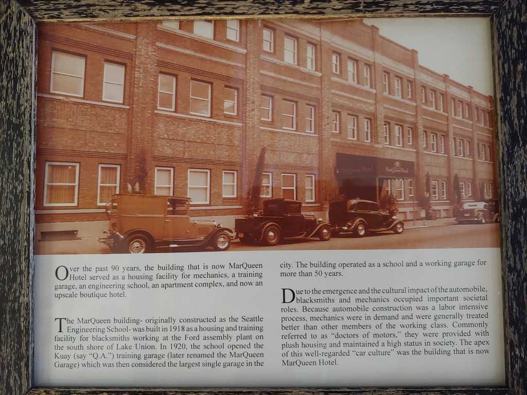
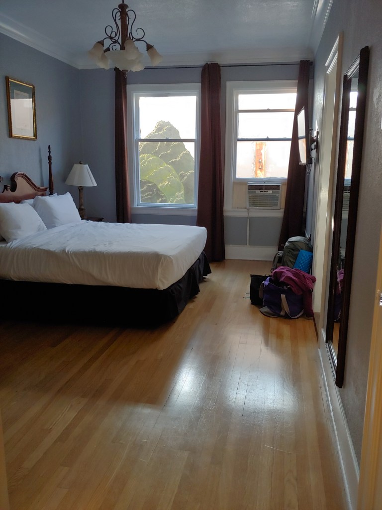
I stayed at the historic Marqueen Hotel in downtown Seattle. It had a great history and the room was huge as it used to be an apartment – reminded me a bit of one of the apartments I lived in while attending WSU.
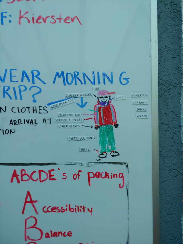
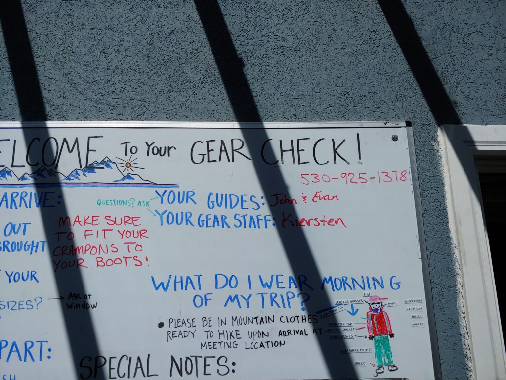
Gear check at the Alpine Ascents office was nothing special. They used to prepare gourmet meals on these trips but once the pandemic hit and they had to change how the group interacted, it all ended up being freeze-dried meals. Yuck. At the gear check we got to meet the rest of the team. After the gear check we were all responsible for being down in the White Salmon area the next morning for the drive to the trailhead.
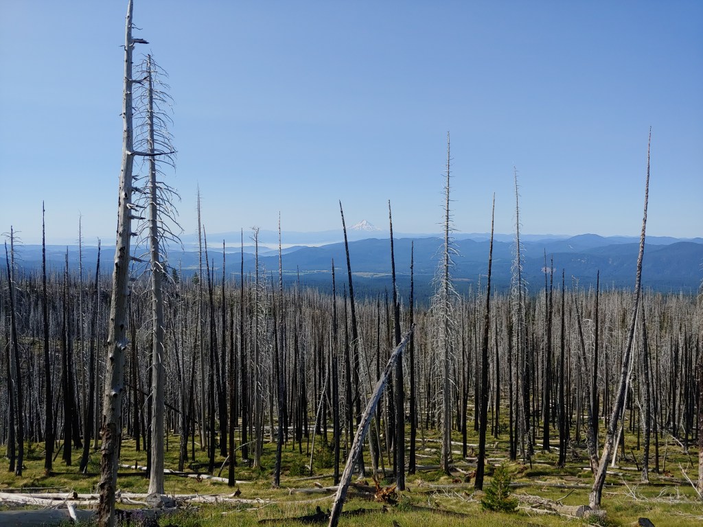
Unbeknownst to any of the team, a wildfire had started early afternoon on a hillside about 2 – 3 miles from White Salmon, and my hotel! Had to make a creative detour jumping off WA Hwy 14 down to OR Hwy 84 at the Bridge of the Gods and then beck over to WA Hwy 14 via the Hood River Bridge. Grabbed a quick bite to eat and then went to bed.
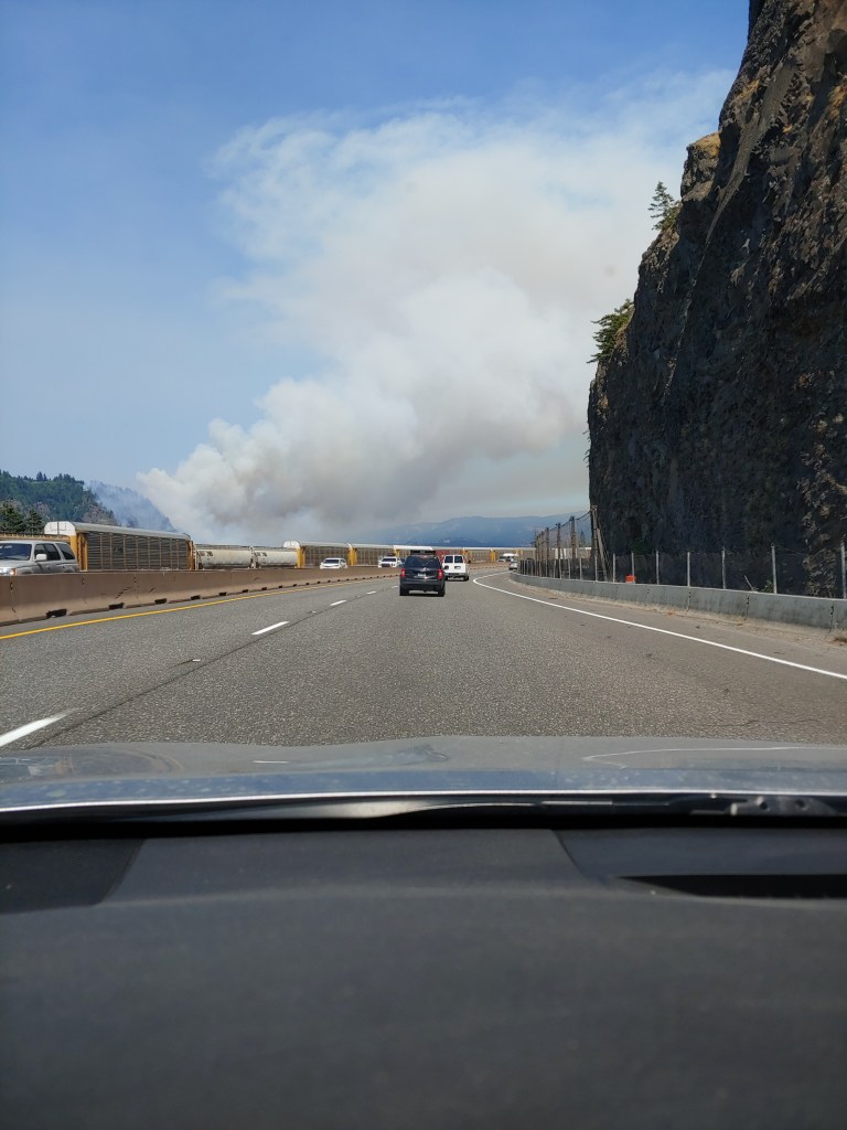
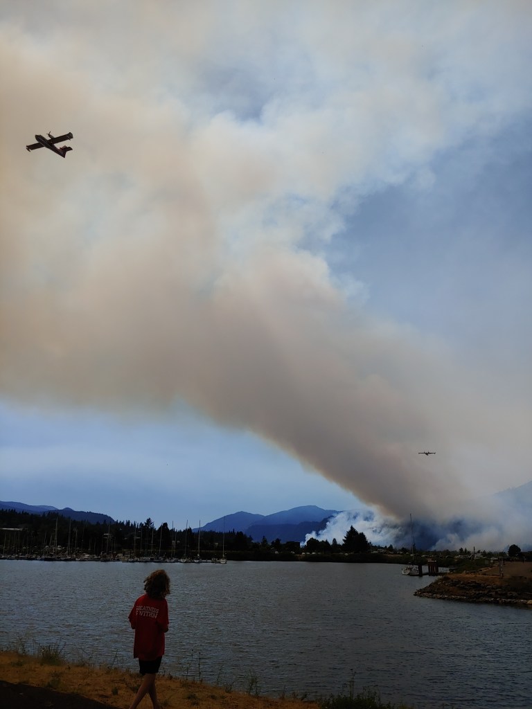
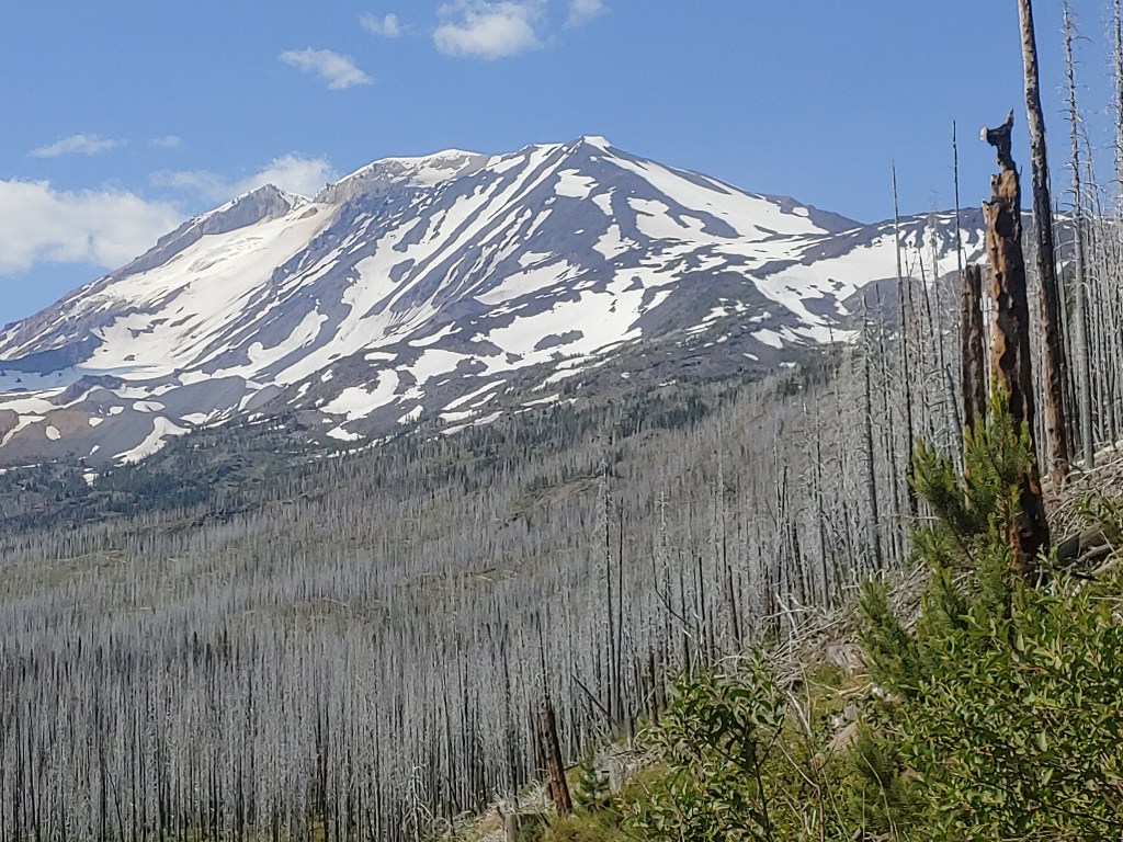
The next morning we all met in White Salmon and caravanned to the trailhead. Air quality index in White Salmon was 171 so it was good to get out of there!
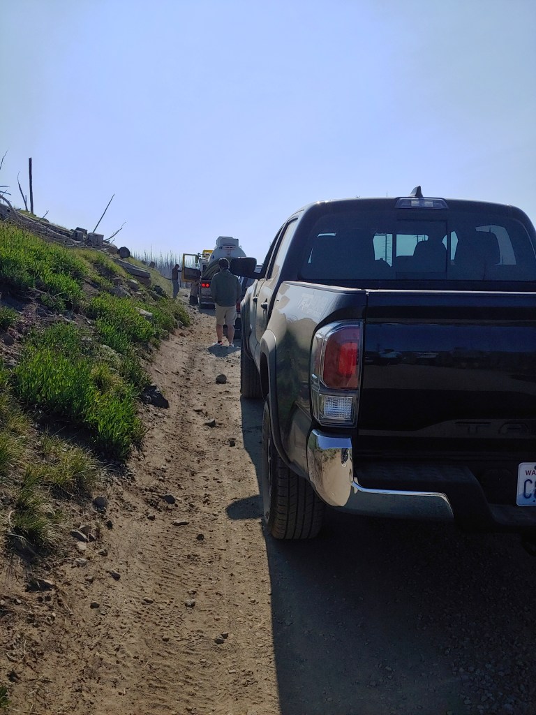
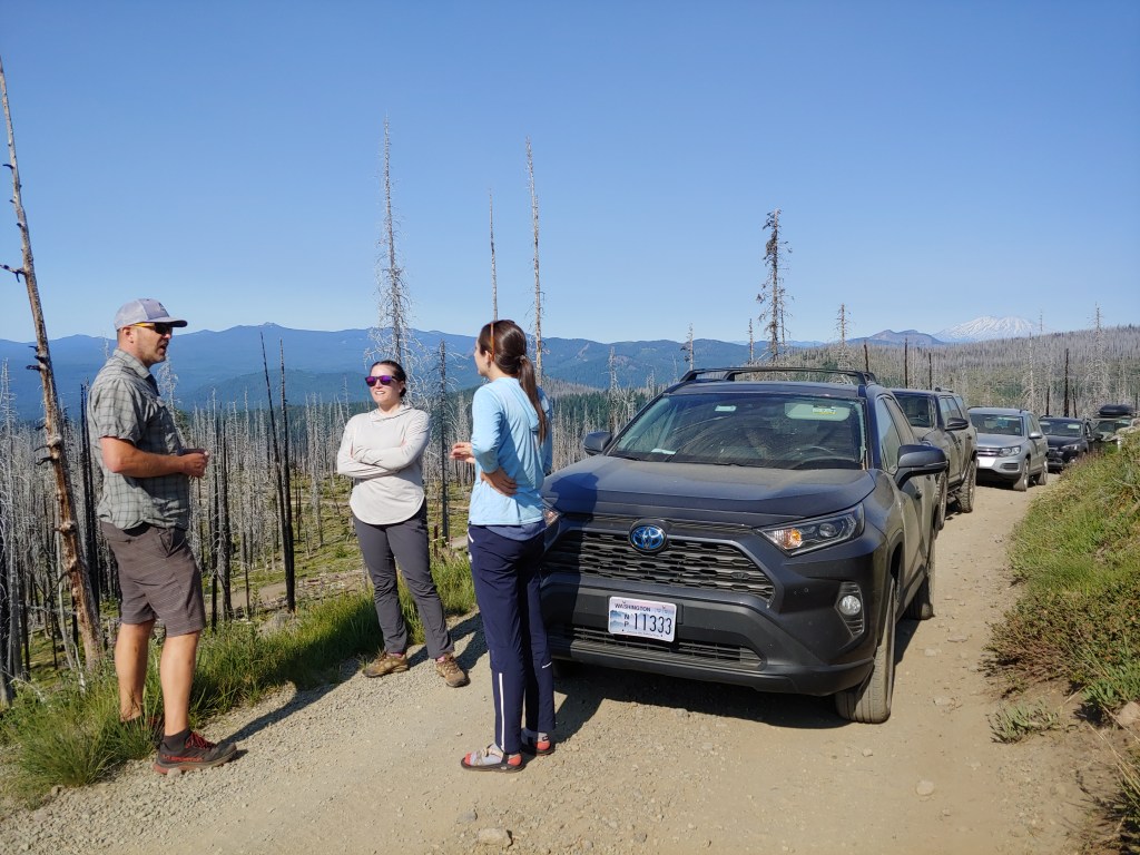
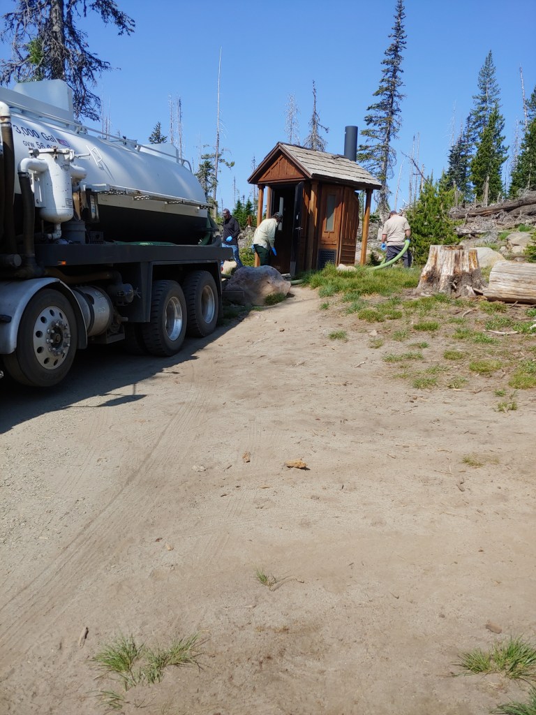
We ended up driving the last few miles to the trailhead behind the portapotty pumper. Unfortunately it broke down about 1/2 mile from the parking lot. A lot of anxiety as the cars started backing up behind our group. The air brake had apparently locked up when the truck went over a big bump in the road. Luckily it was a relatively quick fix!
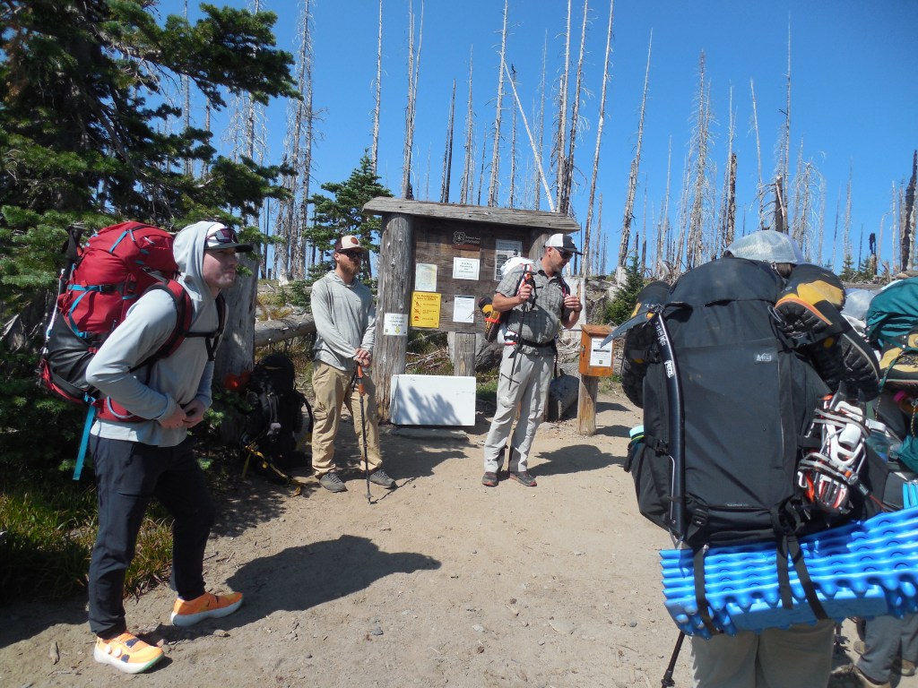
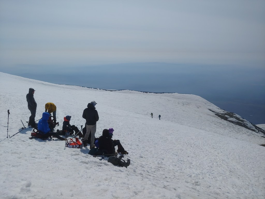
Pep talk at the trailhead … and yes, if you know your mountain climbing etiquette, the guy with the black pack did pretty much everything wrong – caps on trekking poles the entire climb, ice axe stowed improperly, etc. But the guides corrected him eventually. It was his first actual mountain climb and he was pretty wiped out on summit day but made it!
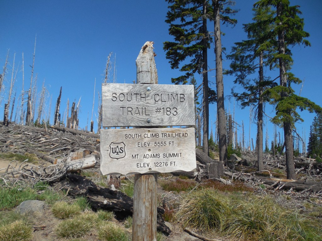
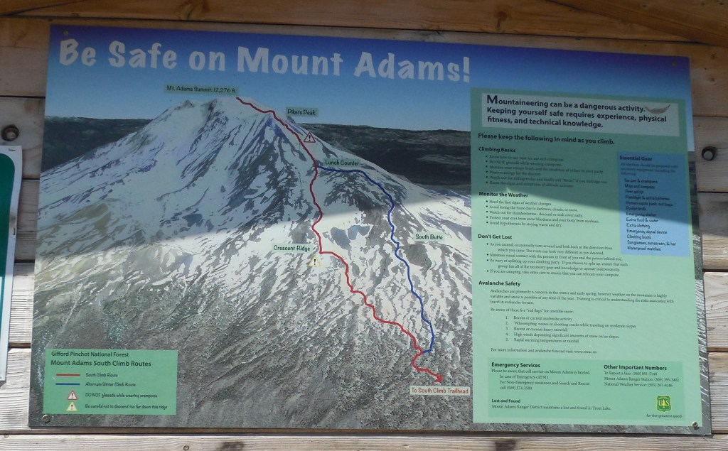
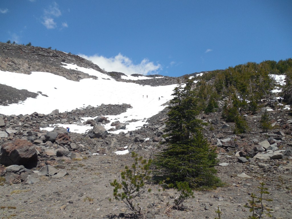
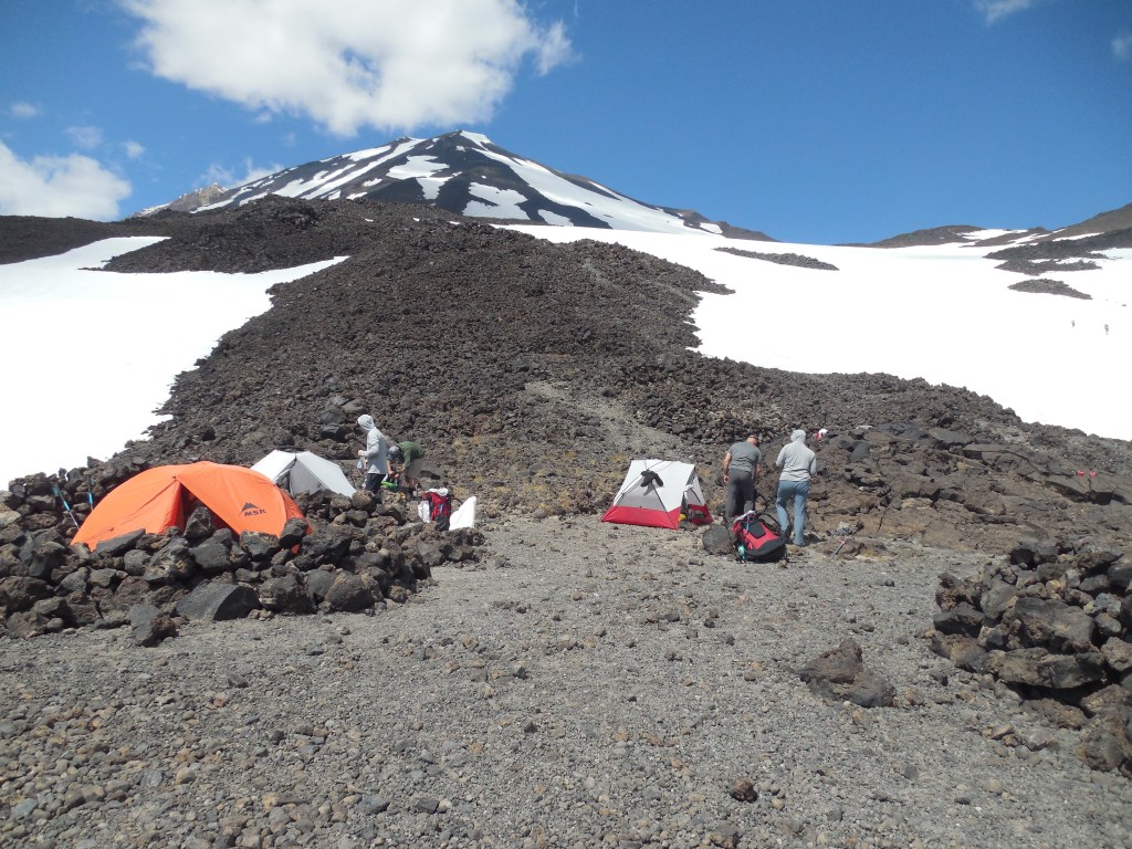
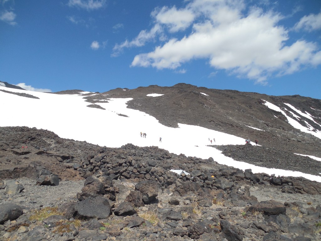
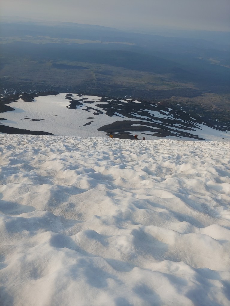
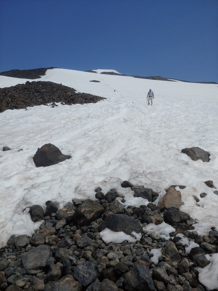
We got a pretty late start (in my book) but made good progress towards camp. The normal camp if you are doing Mt. Adams as a 2 day adventure is at what is called the “Lunch Counter” it is approximately 3,000′ and 4 miles from the trailhead. We stopped about 800′ short of the Lunch Counter as the guides wanted us to be able to get rid of our heavy packs earlier to set us up for a successful summit bid the following morning.
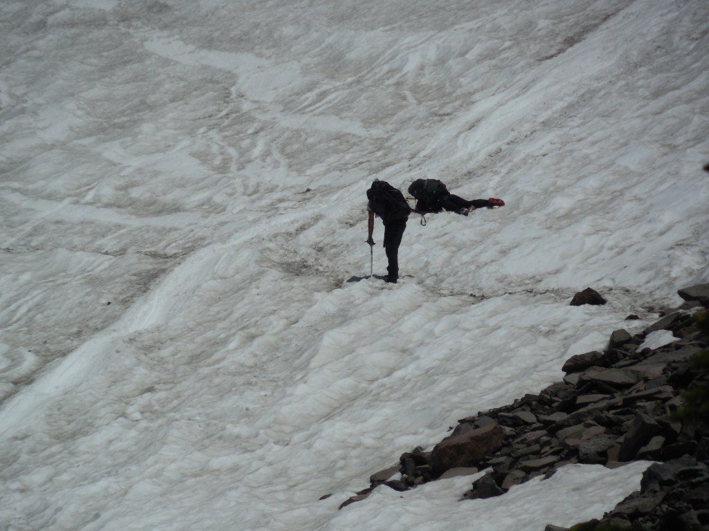
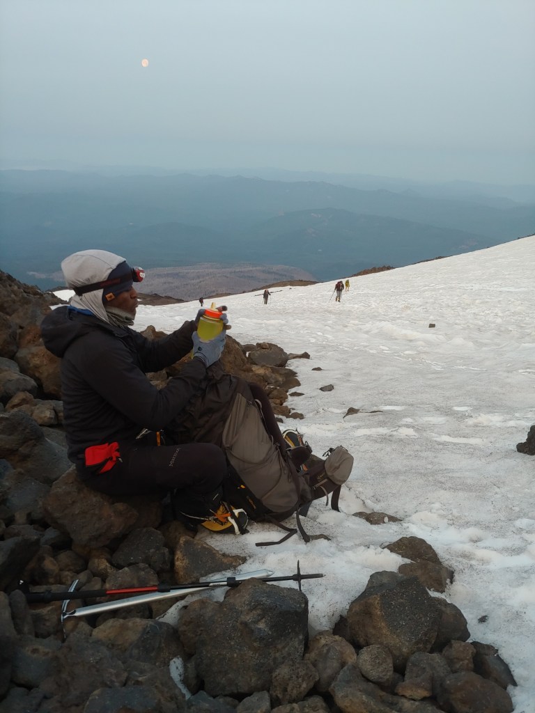
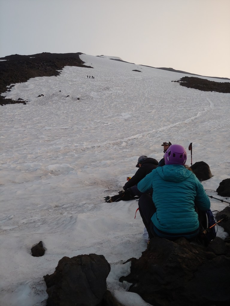
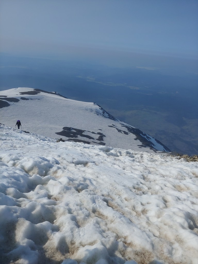
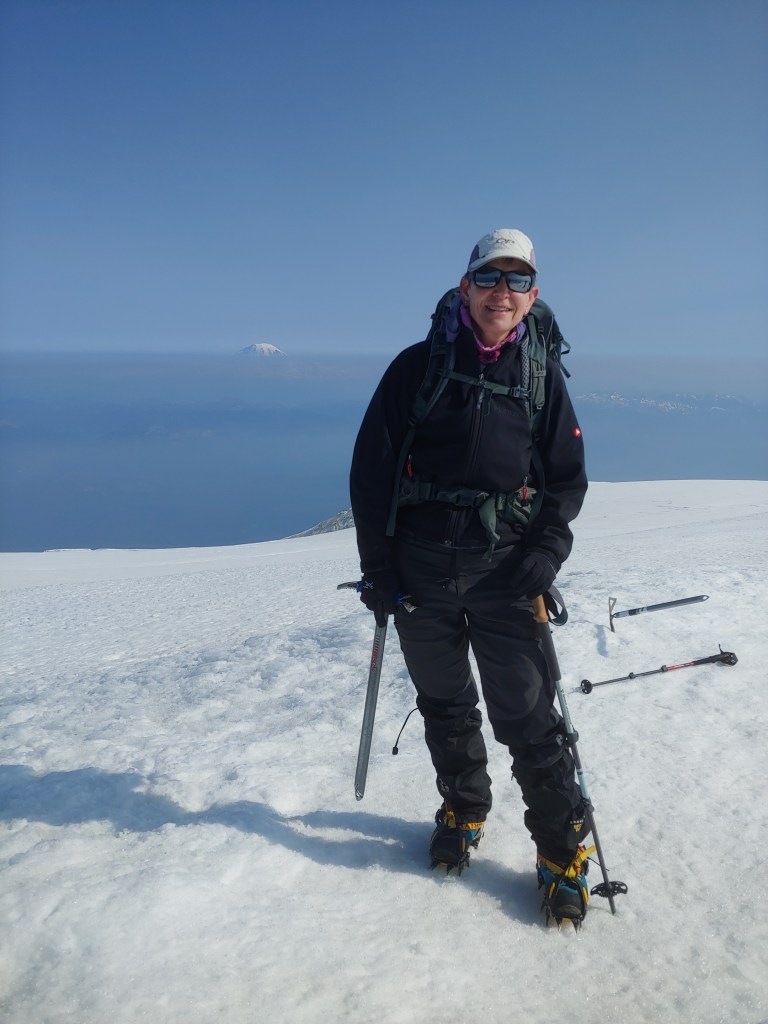
With a 4:00am start we hoped to make the summit – another 3,000′ in 4 – 6 hours. Then we would come back, relax a bit, pick up camp and then head down for a total of 9,000 ‘ elevation gain/loss.
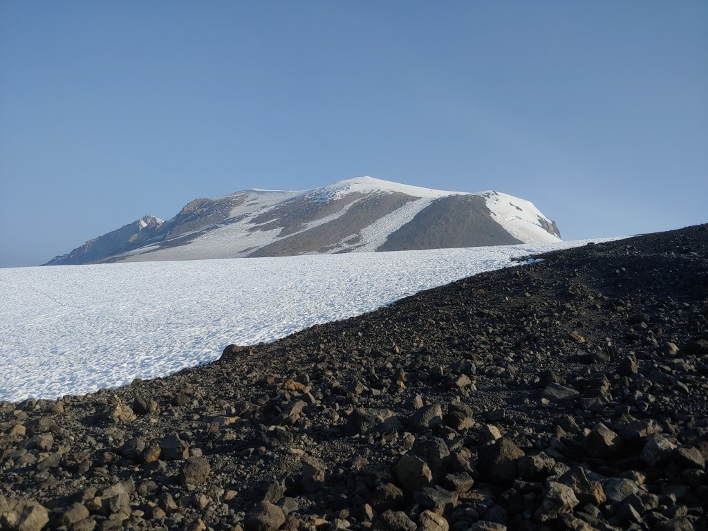
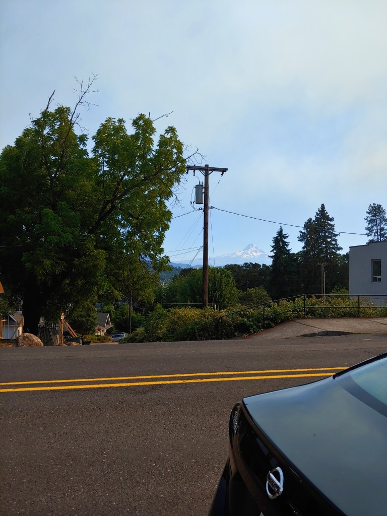
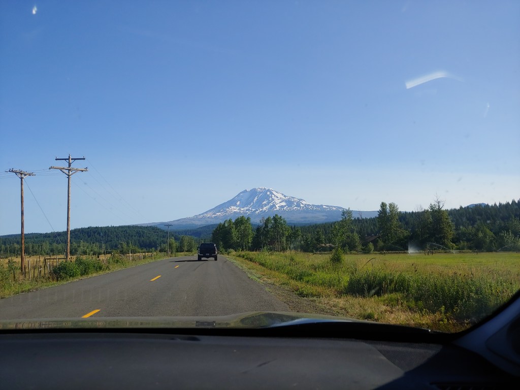
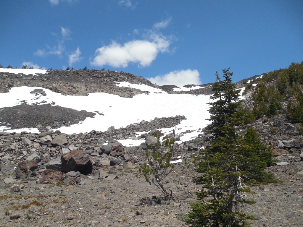
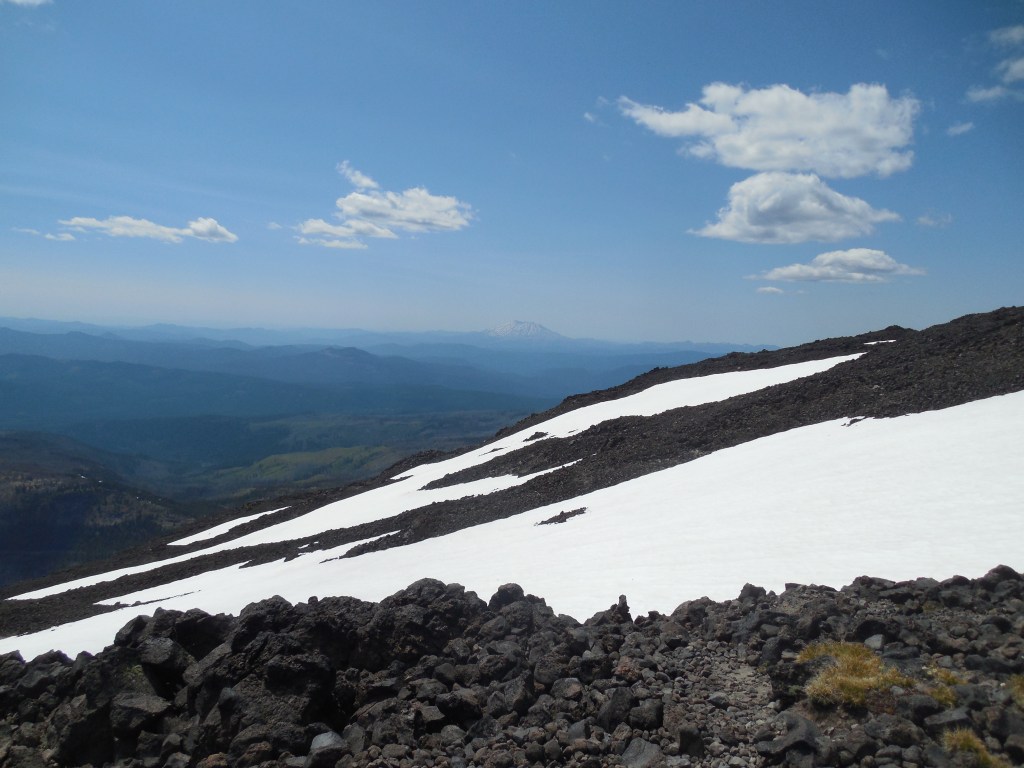
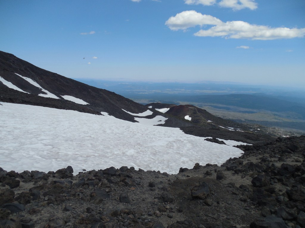
A couple last looks at the mountain. Super fun climb and luckily my lack of training didn’t affect me too much, although for a couple of days my calves and quads basically told me I had to walk down stairs sideways!
