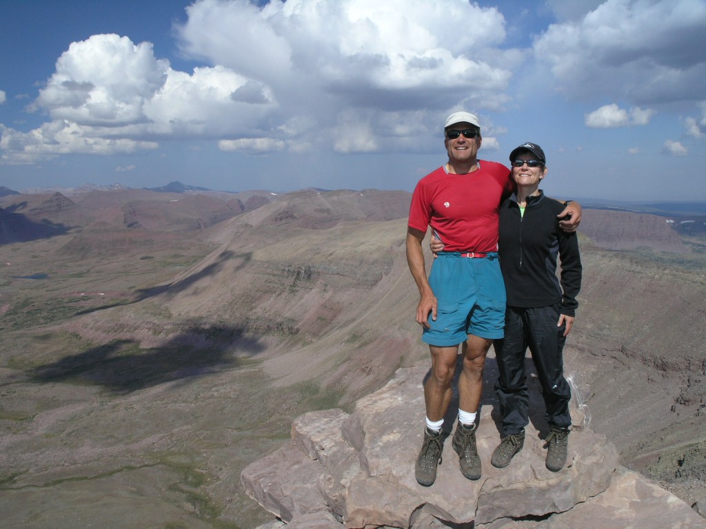
Arriving home on Monday evening from the Beartooth’s trip, I had a quick turnaround to get ready for my King’s Peak backpack trip starting on Thursday. Joel and I had climbed Kings Peak in 2015 as part of my highpointing quest and I was excited to have the opportunity to climb it again with the Women’s Wine Hiking group.
Once all the clothes were sorted and washed and pack put back together, I headed up to Lyman, WY for an overnight before we headed to the trailhead. As we got within about 20 miles of Lyman, I glanced up and saw what appeared to be a forest fire on the horizon … WHAT??? Come to find out, the Beulah fire had started in the Uintas and was observed that morning. We rushed to the Forest Service office in Mountainview, getting there about 4 minutes before closing. They said due to the high wind/red flag warning in the area of the fire, they were not sending any crews in to fight it. GREAT!
We waited for the rest of the group to arrive in order to make a decision about proceeding with the plan or moving to a different area. As a crow flies, the fire was about 40 miles from us so most of us weren’t worried about the actual fire. Smoke and the fact that we would be out of cell coverage for 3 days were the main concerns. We had dinner and then decided to gather as much information as we could the next morning before heading to the Henry’s Fork Trailhead.
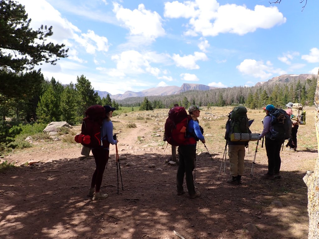
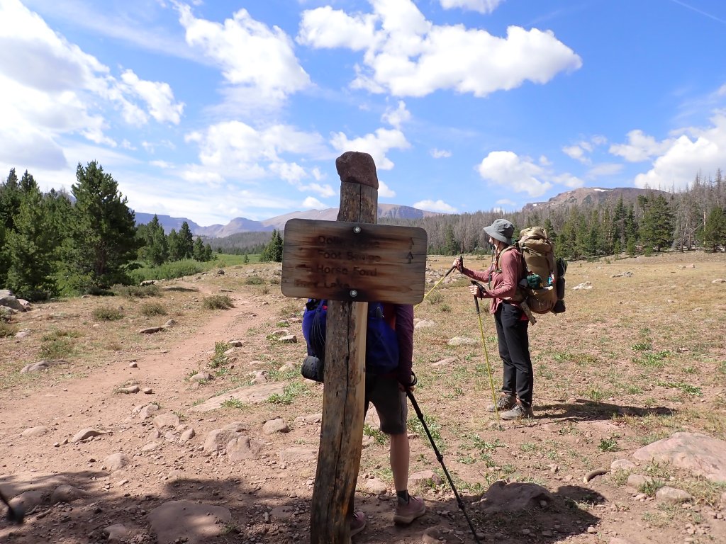
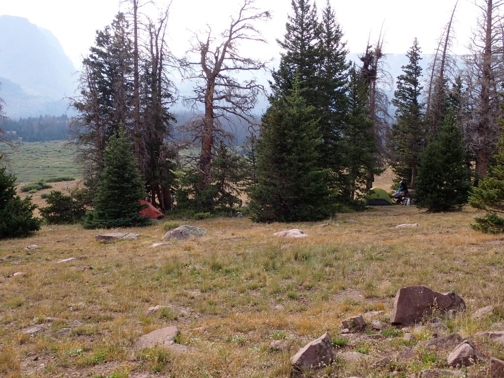
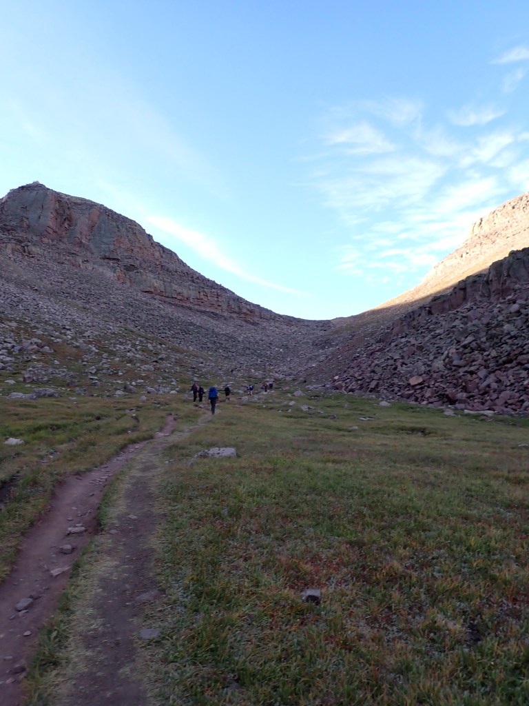
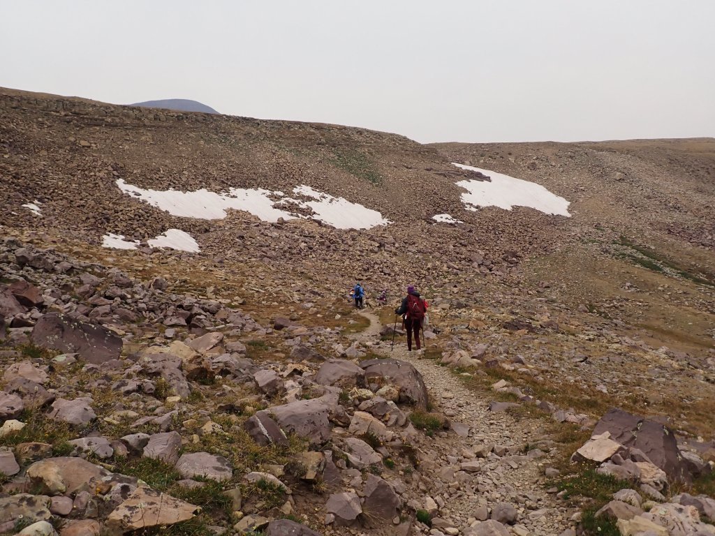
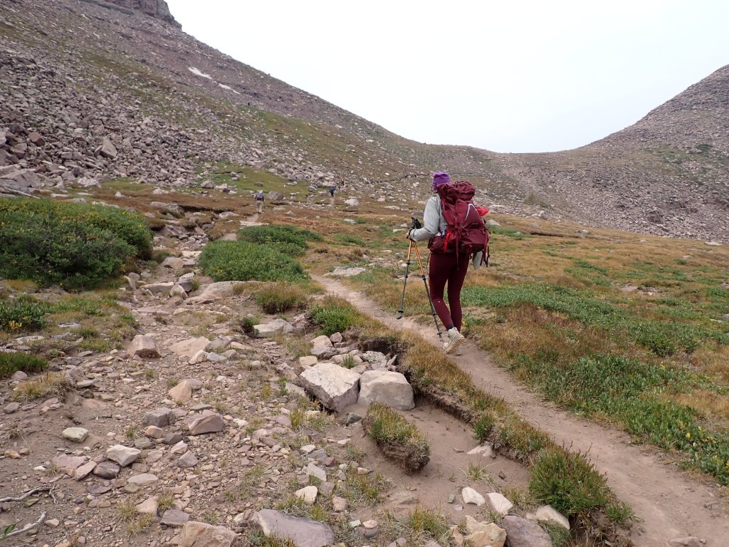
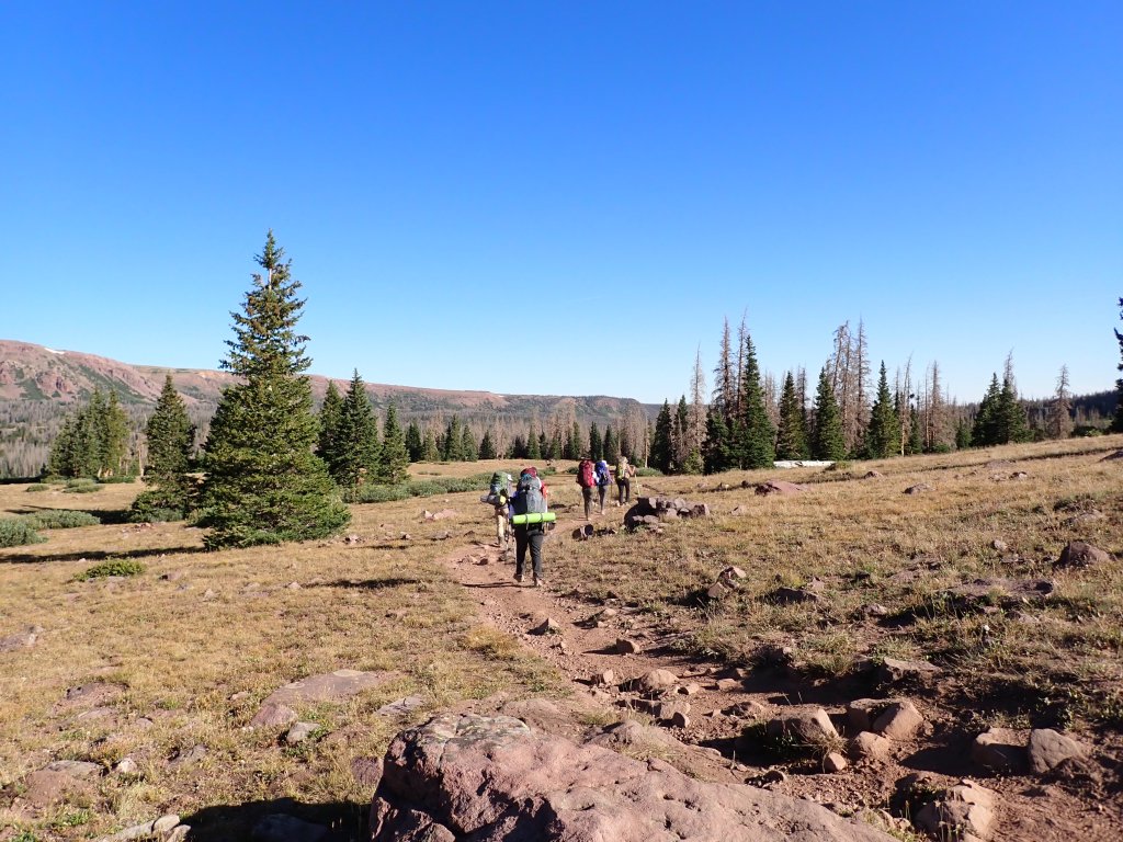
We made the decision to proceed to the “base camp” as planned and see what the smoke situation was. Our camp was to be about a mile past Dollar Lake which is the typical camping area. As this was the weekend, we were expecting a lot of people so we wanted to get as far away from the big campsites as possible. The hike was about 8 miles in. Relatively flat with only a few hills, we made good time.
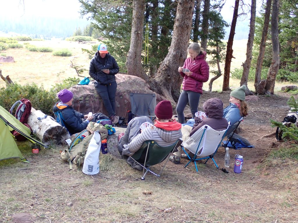
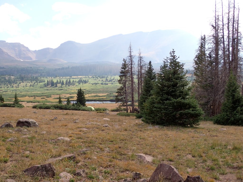
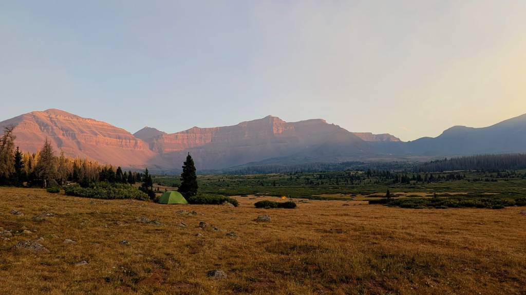
Once we got into camp, some of the group decided to play cards before dinner. I opted to hike up the trail about 1 1/2 miles to scout the next morning’s first objective – Gunsight Pass. As the sun was starting to set, the smoke from the fire became visible and started to settle in the valley.
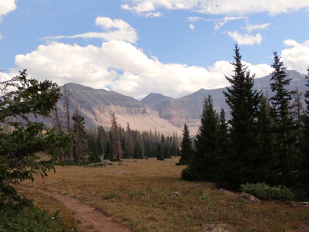
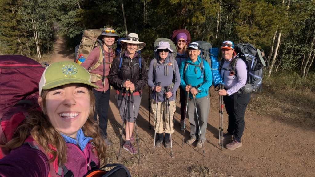
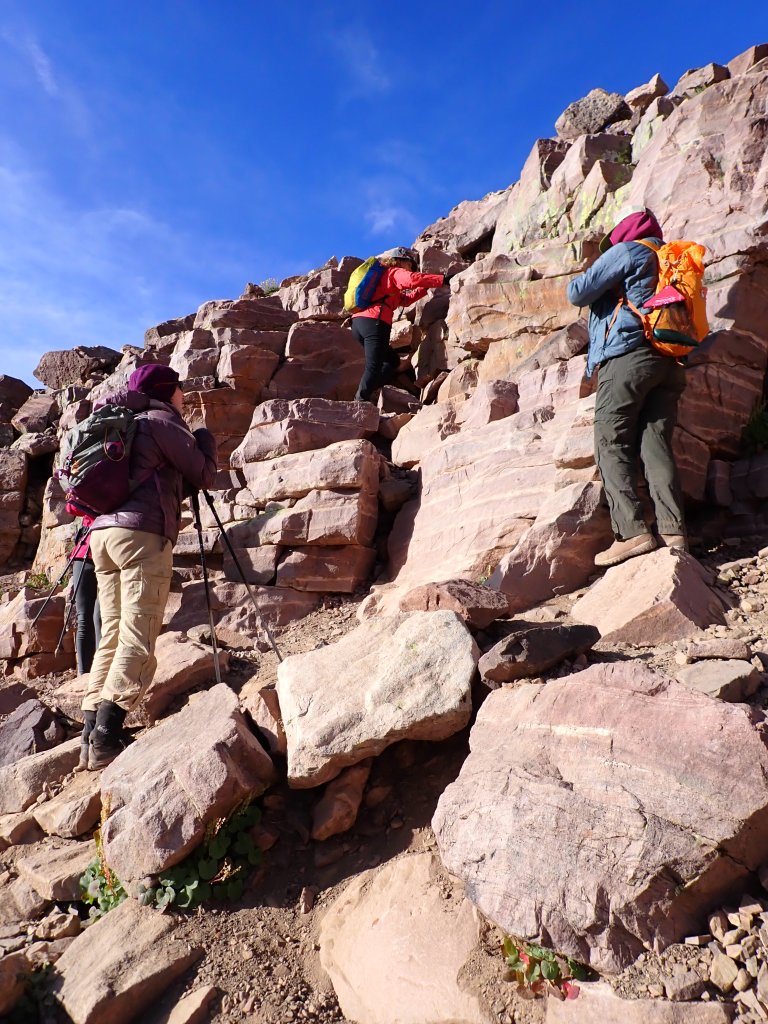
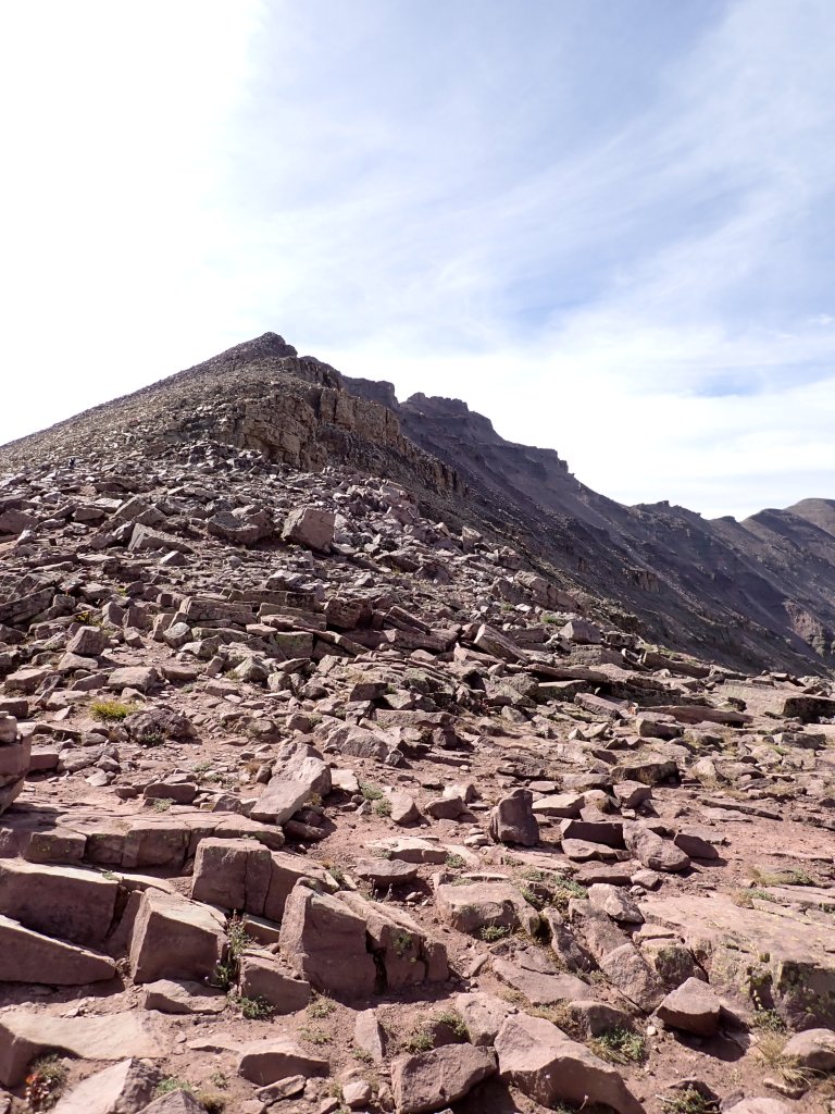
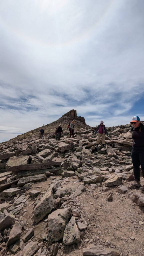
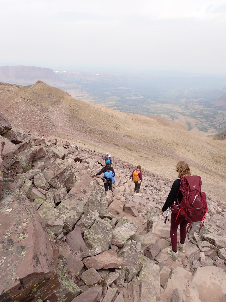
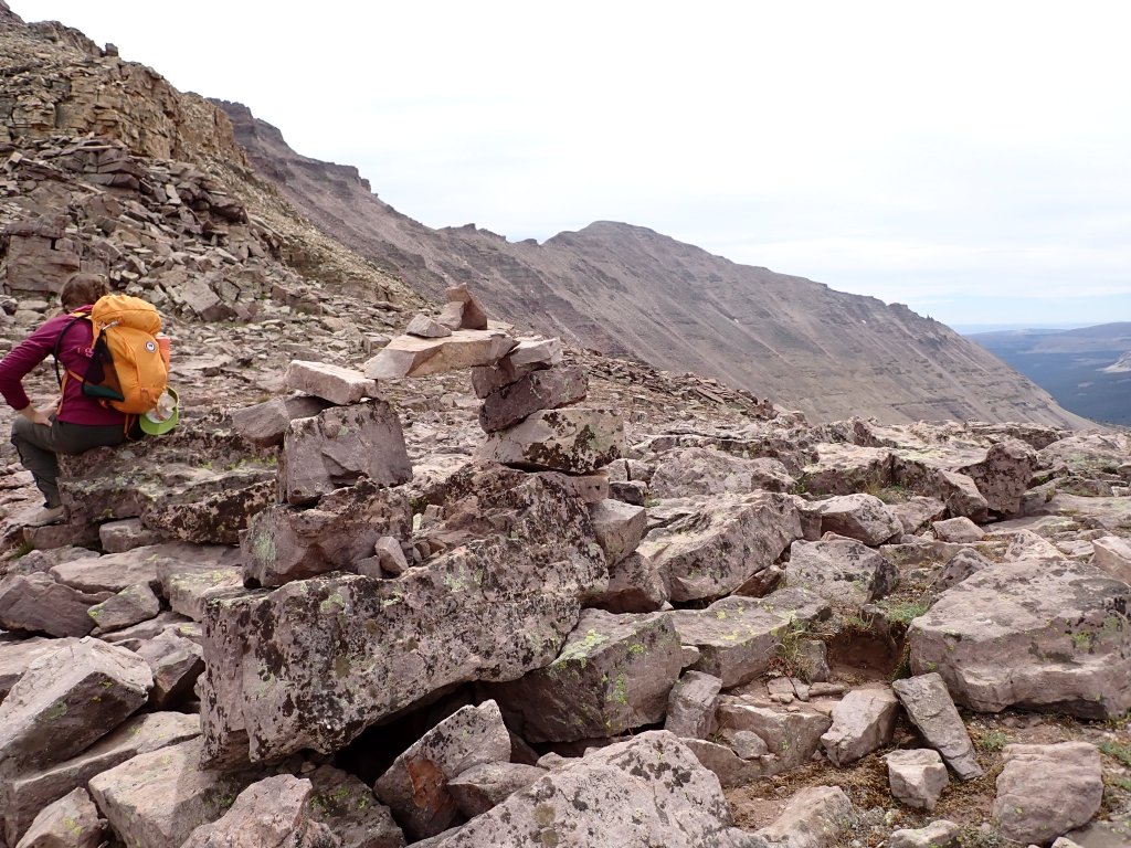
The smoke had cleared in the morning and it looked great for the climb. Our plan was to hit the trail at 6:00am. Of course, with a big group, there were a few stragglers so we ended up heading out about 1/2 hour late. Everyone was in good spirits and excited for the climb. Of the group of 7, me and and one of the trip leaders were the only ones that had climbed it before. Hate to say but I didn’t remember a lot of the climb from 2015 other than the few landmarks (Gunsight Pass, Anderson Pass, the “shortcut,” and the summit boulder field.) We made it to the top of Gunsight Pass in good time and then headed up the shortcut scramble. Unfortunately, it was a little “spicy” and a few of the gals were a bit scared and concerned about this route coming down.
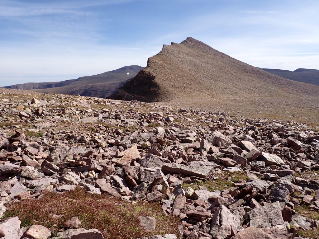
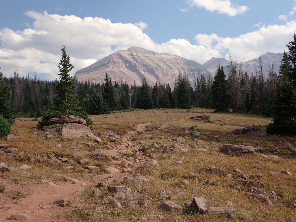
After a series of long switchbacks, we were up on a plateau and then headed to Anderson Pass. From that point, it is a series of about 5 false summits before you make it to the true summit block. I ended up being so far ahead of the group that I sat and waited below the summit for most of the group to join.
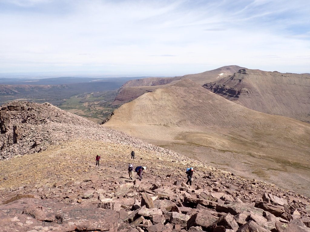
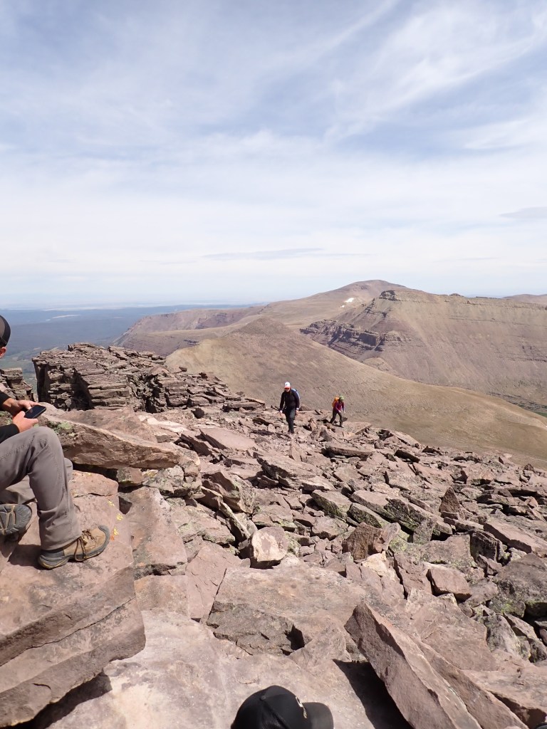
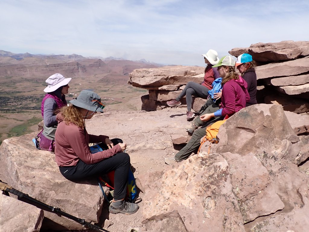
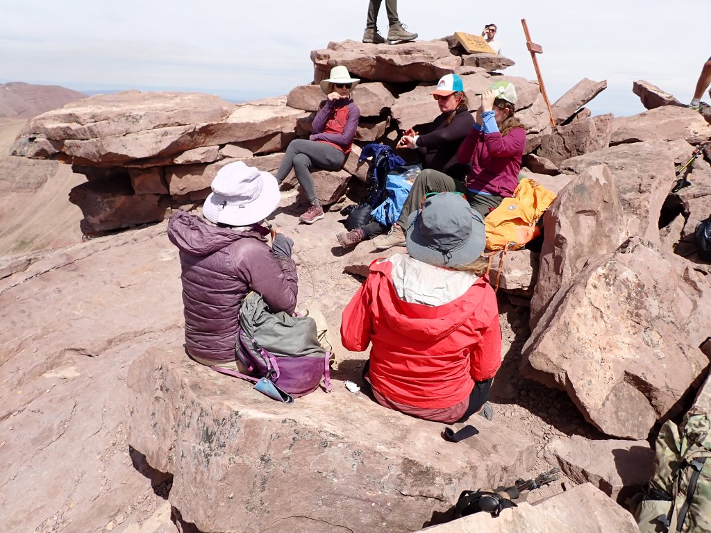
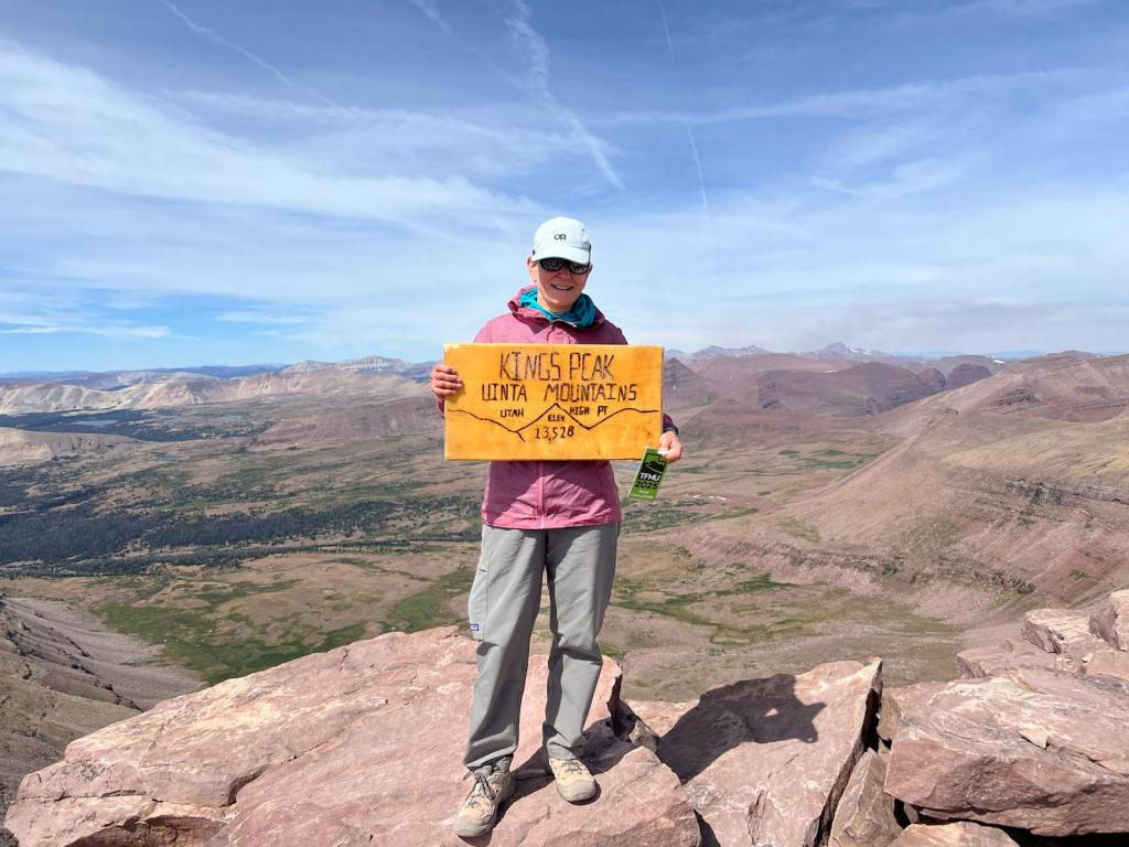
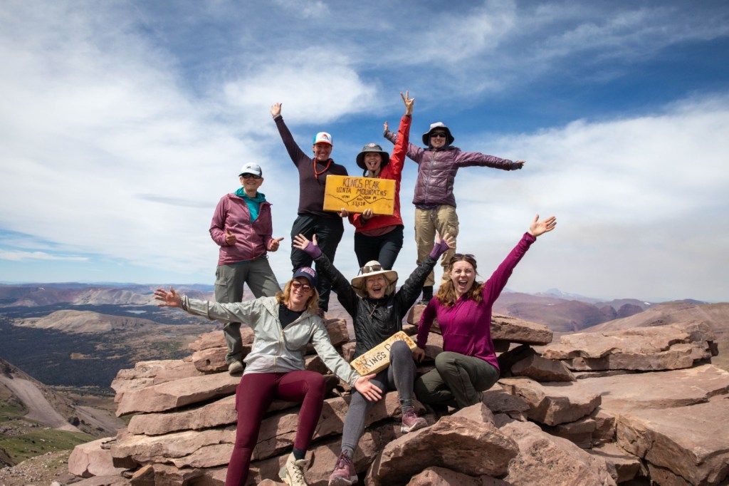
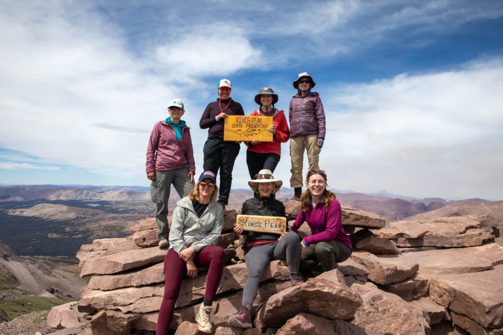
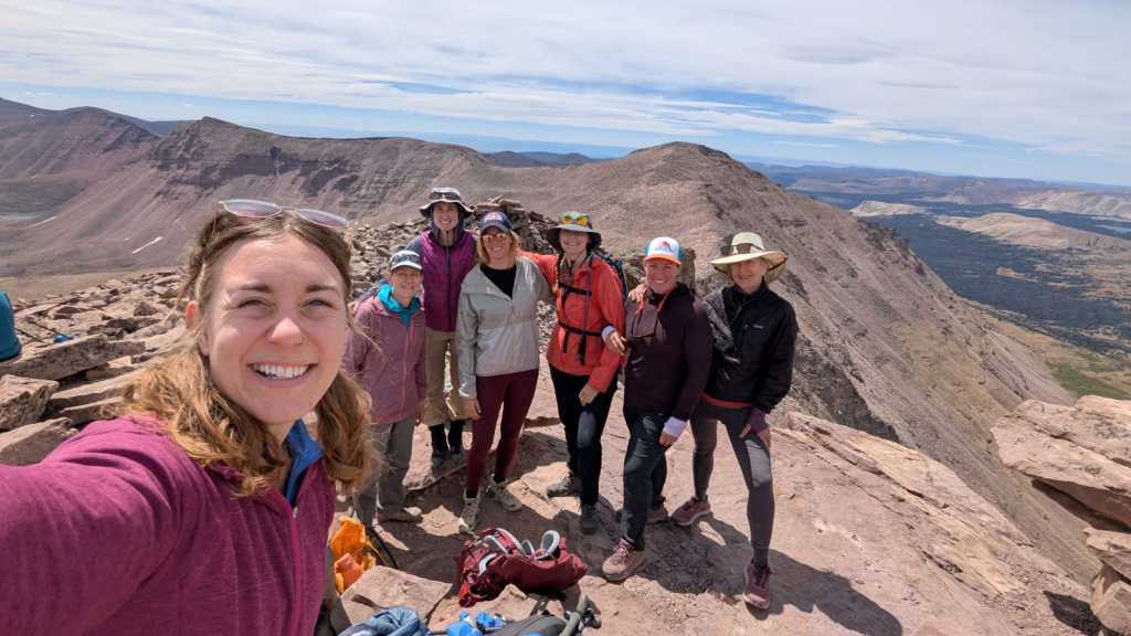
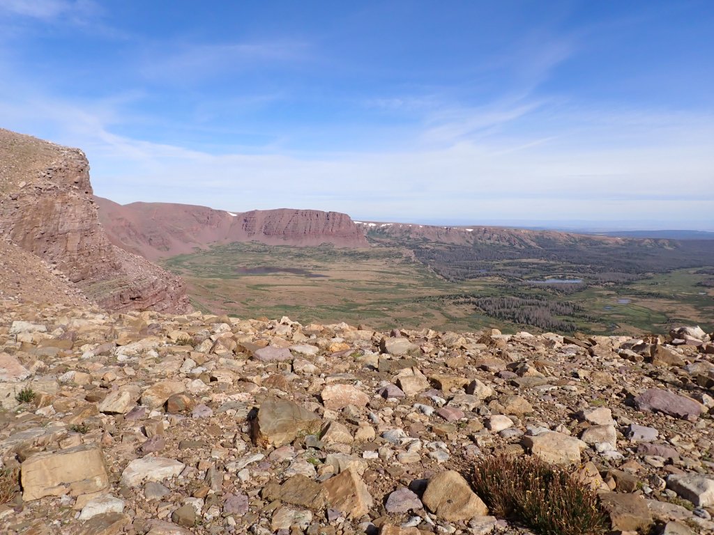
We spent about 1/2 hour on the top eating lunch and enjoying the views. Everyone was very excited to make the summit and for most, this is the highest altitude they had ever been at – a great accomplishment!
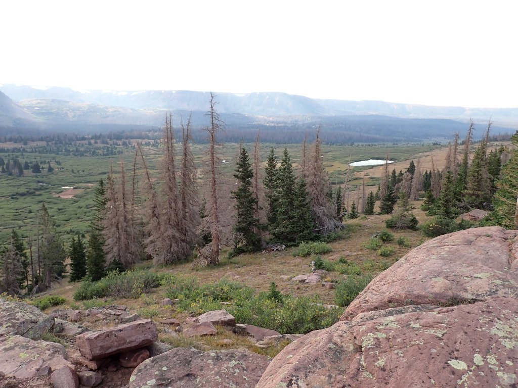
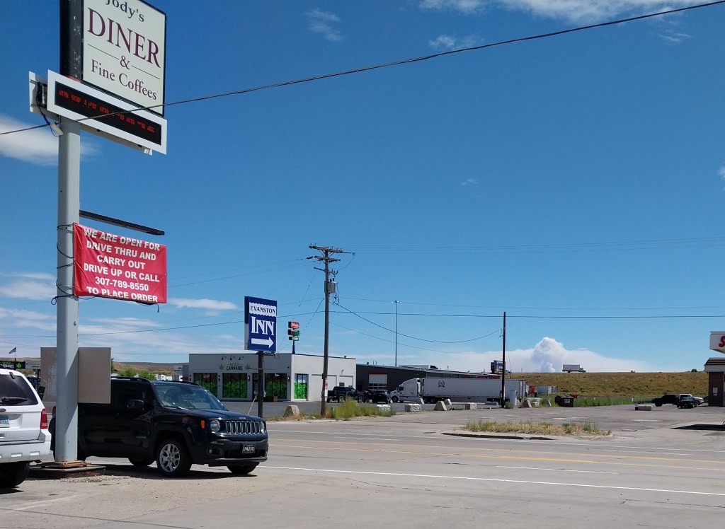
Once we got back to the trailhead, we shed our packs and headed to Evanston and Jody’s Diner for lunch. On the skyline you can see the Beulah Fire raging.
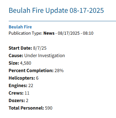
As of today the fire statistics are pretty grim…
Once again, there was neither lightning nor weather activity when the fire started so the suspicion is that it is human caused …
