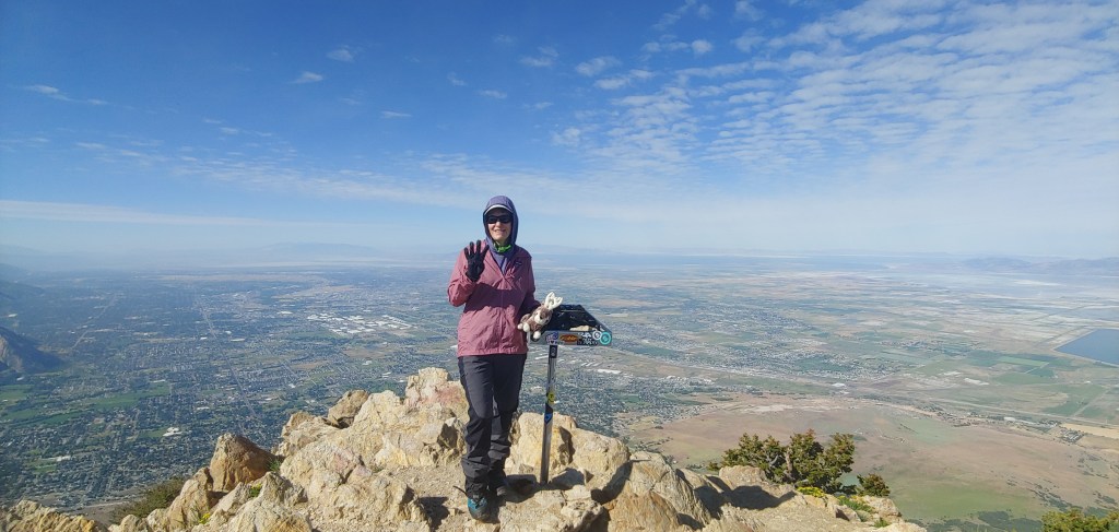
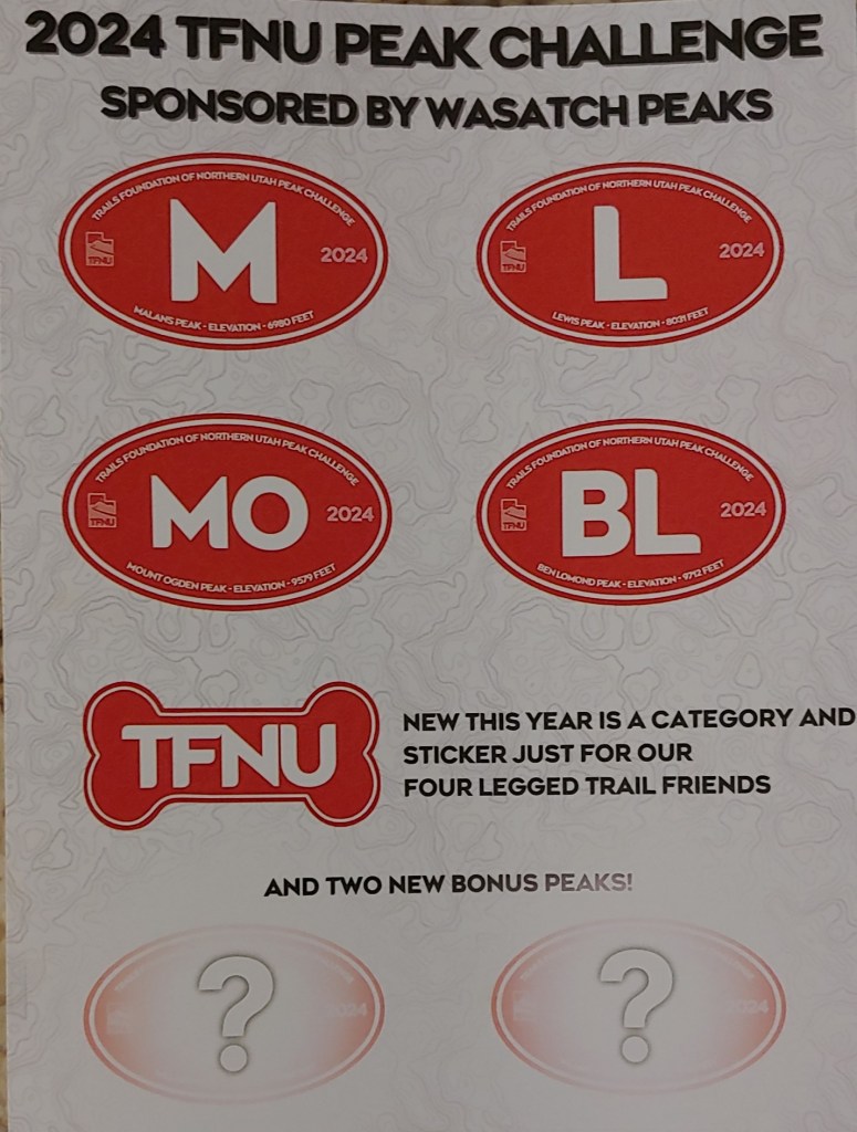
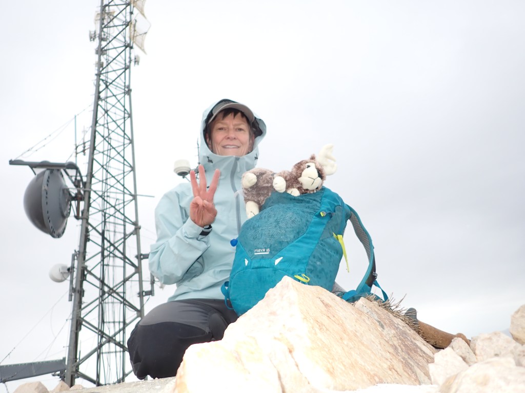
But I won the TFNU 2024 Peak Challenge! First out of 238 humans and 25 dogs registered. Joel asked if I got a $$ Prize – HAHA – Nope, just a completion sticker for each peak bagged! Now on to the two Bonus Peaks – Willard Peak and the second Bonus Peak is participant’s choice – might do Naomi Peak in a few weeks or if I summit Mt. Olympus in July that would count.
Since I didn’t finish the 2024 TFNU 4 Peak Challenge on Dad’s Birthday as I intended, I looked at the weather and found a three day break from our recent 90 degree days. It just so happened that the first of those days was Father’s Day so that sounded like a good alternate goal – to finish on Father’s Day.
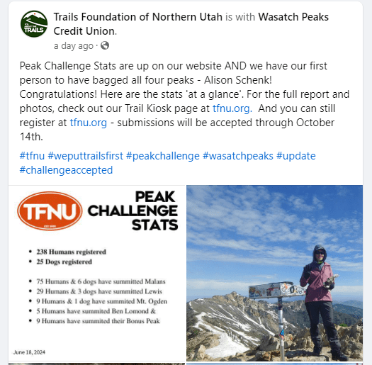
I set off in the dark, leaving the car at 04:58am with my headlamp. I was surprised to see several other cars in the lot already and soon found the occupants on the trail – it was a group of guys that had hiked to an overlook about 1.5 miles up the trail and they were there for the sunrise. It was a beautiful day with little wind, clouds and mild temperatures.
There was still a decent amount of snow left on the summit. Since I had brought ice axe and crampons, I decided to just go up on the east snow-covered face. Lots of folks arrived after me with running shoes and no type of traction devices or poles so I am sure that they thought I was a bit off … better safe than sorry! Come to find out that just a bit south, there is apparently the “Spring Route” which is about a 3/4 mile rock scramble to the top so you could have done the summit push without any snow gear – I took that on the way down.
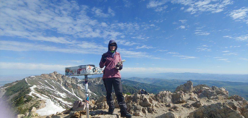
Great day, ate a giant chocolate chip cookie on the summit in Dad’s honor, snapped a few photos, chatted to a couple other hikers and was back to the car after the 15+ mile hike about 8 1/2 hours later. A nice, leisurely way to spend the day in the woods.
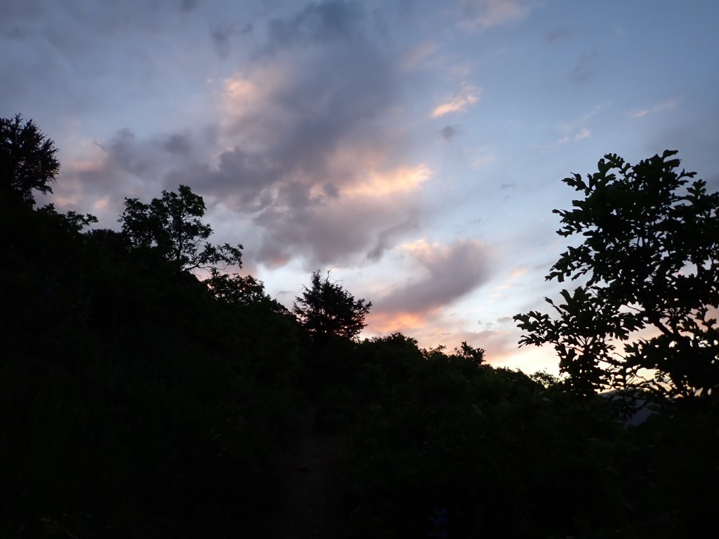
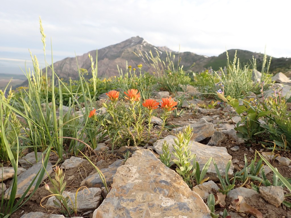
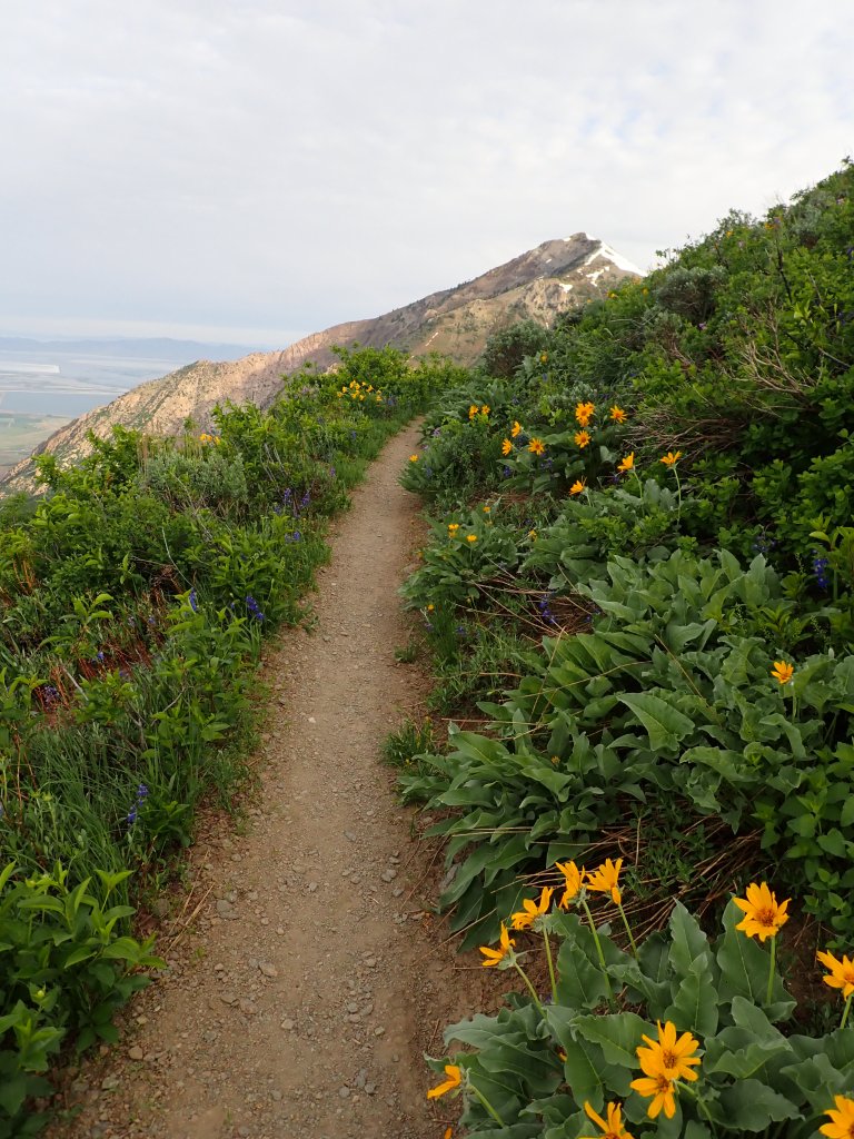
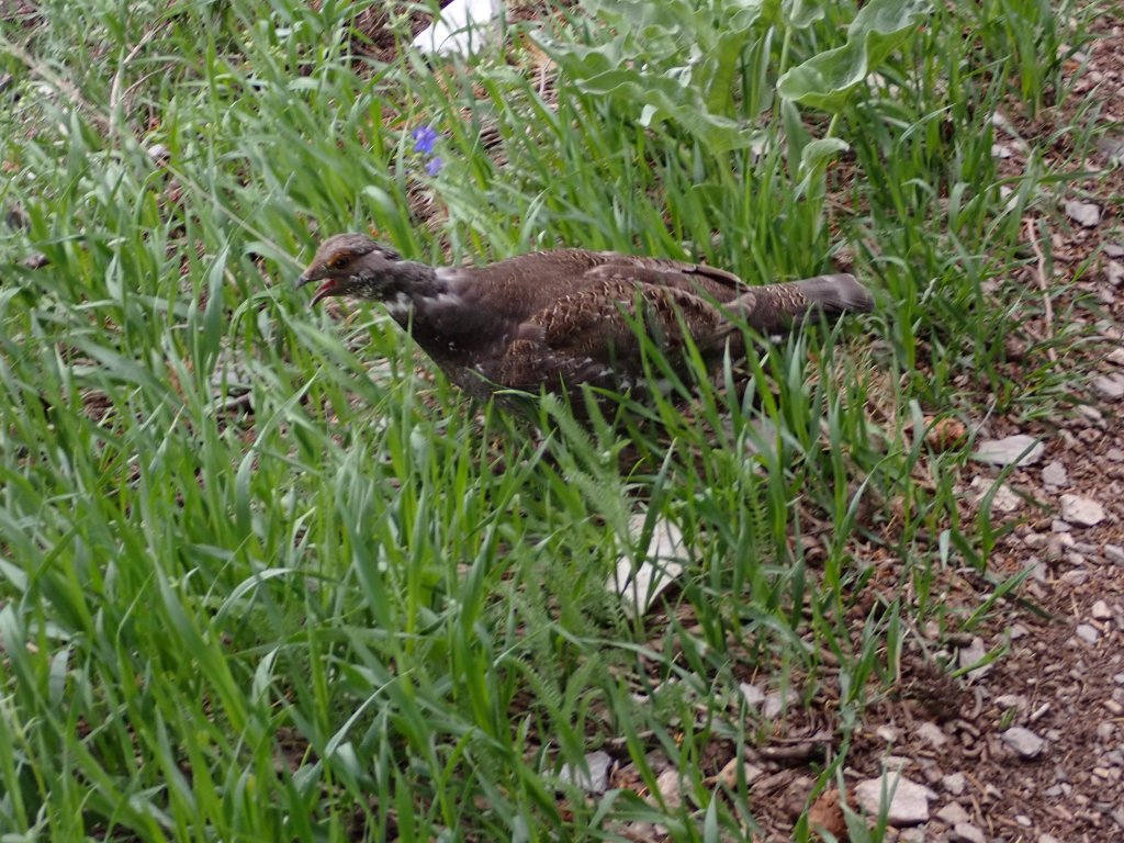
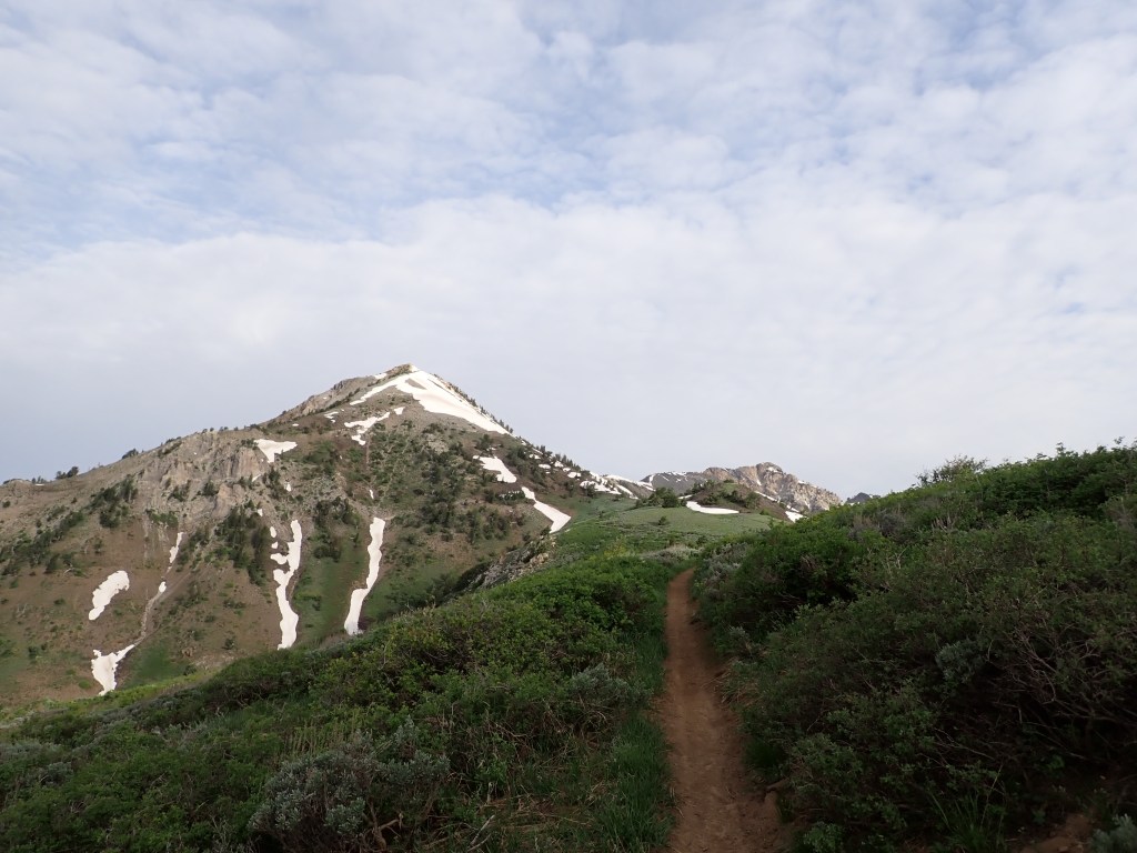
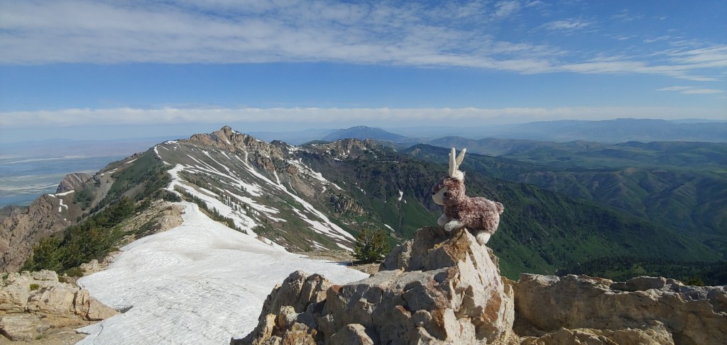
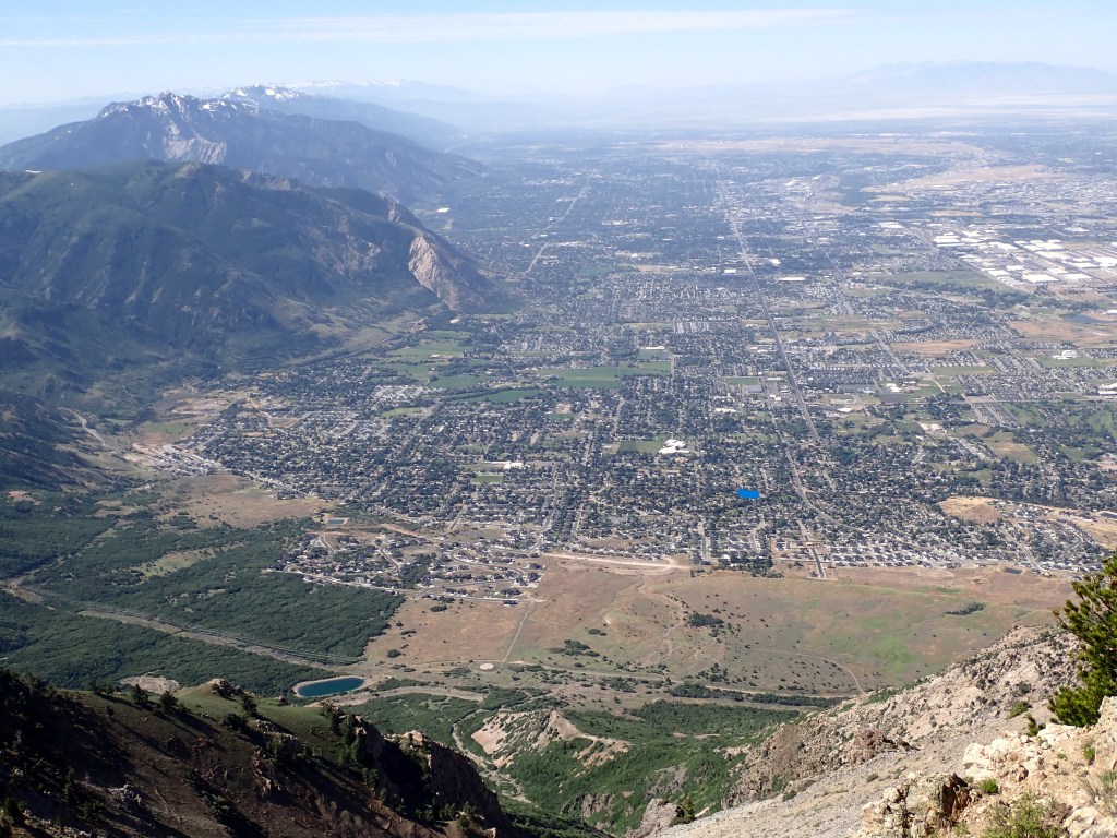
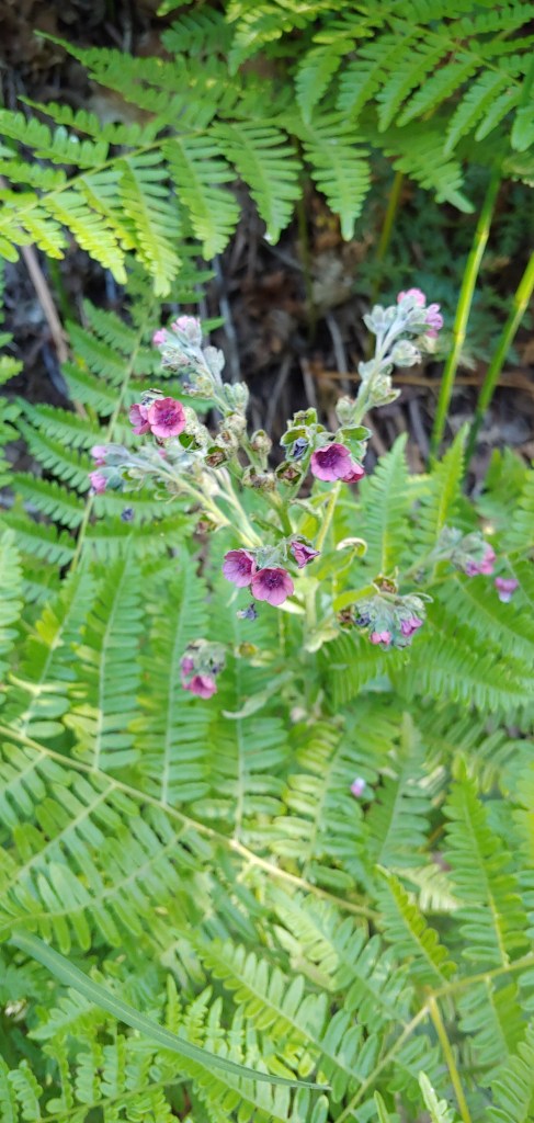
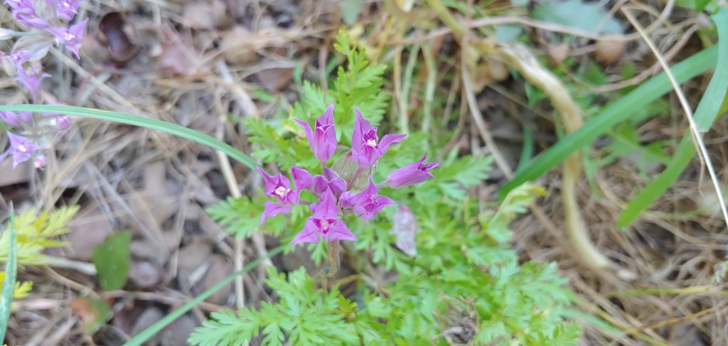
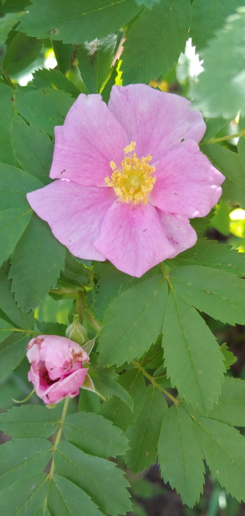
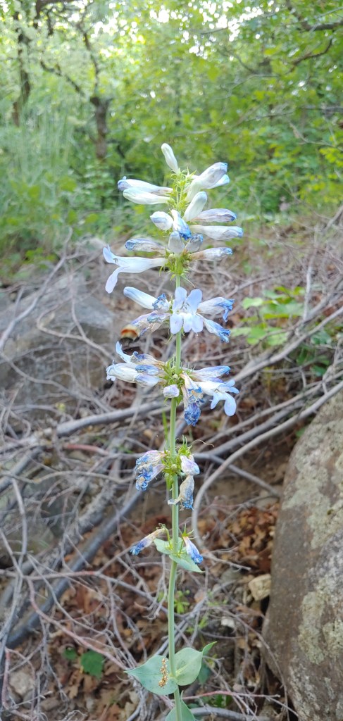
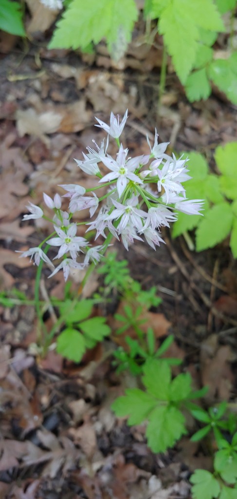
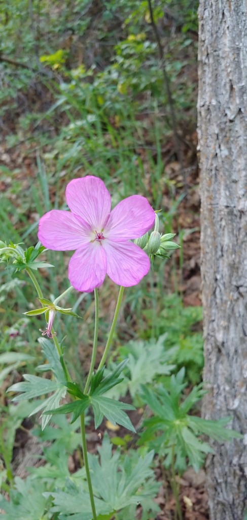
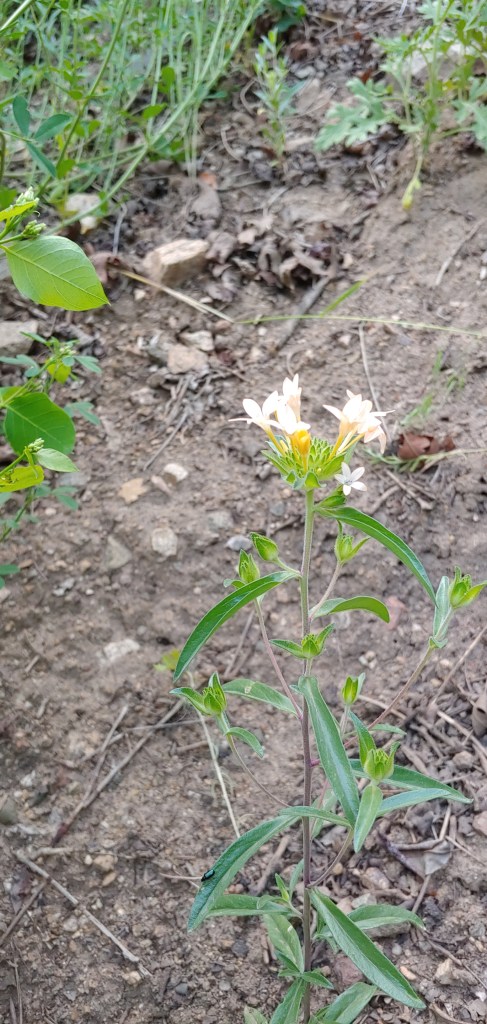
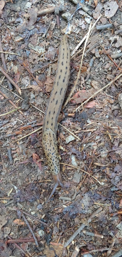
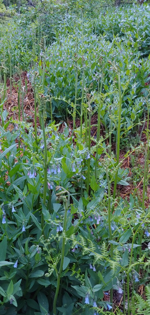
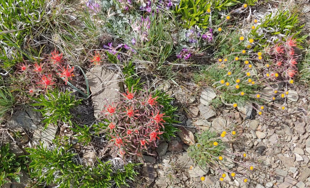
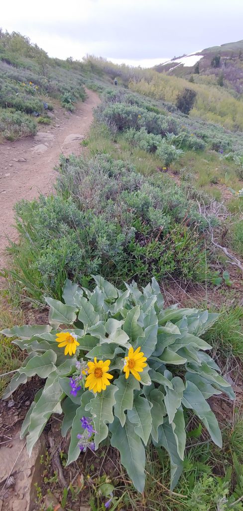
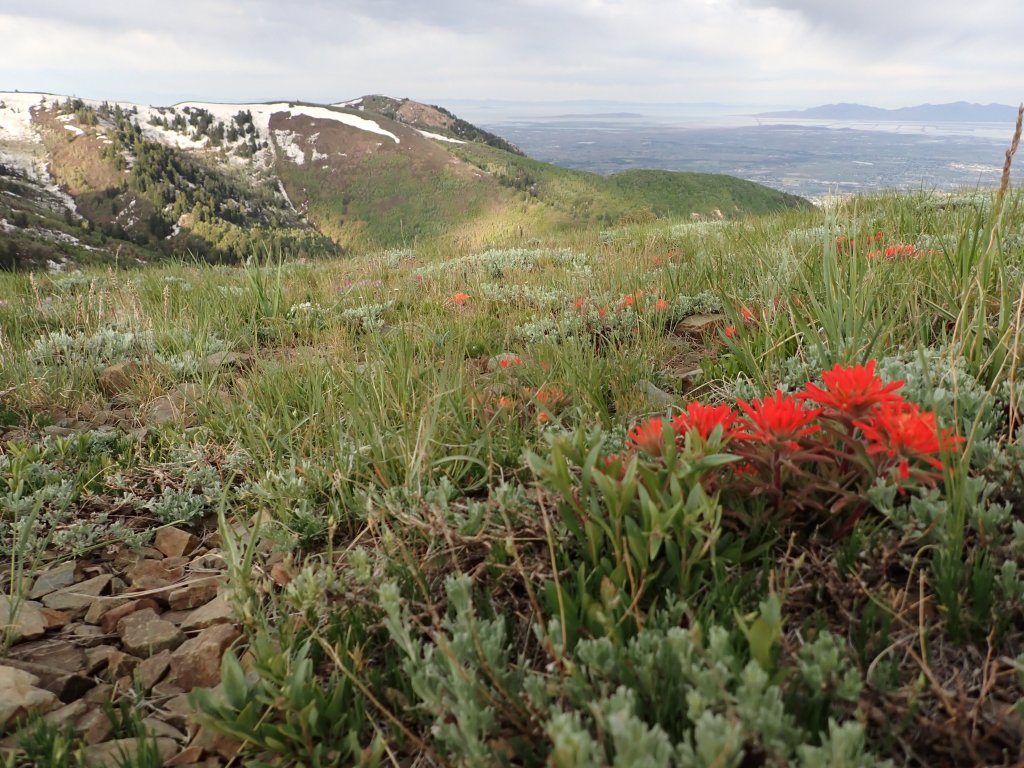
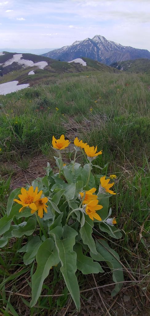
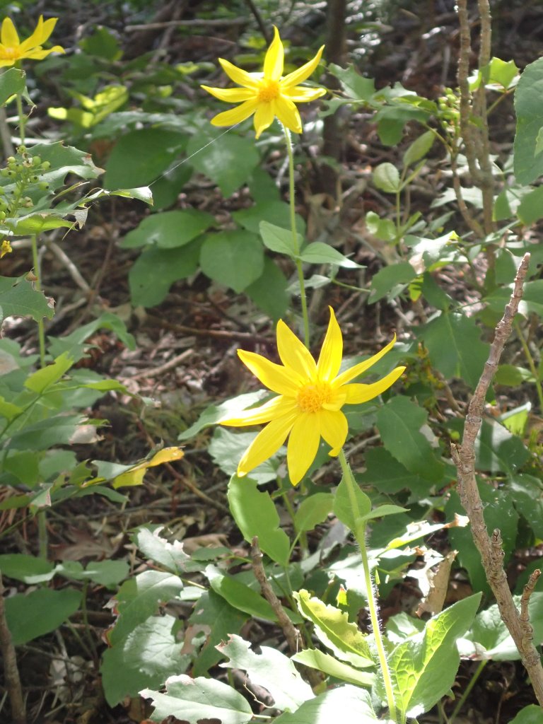
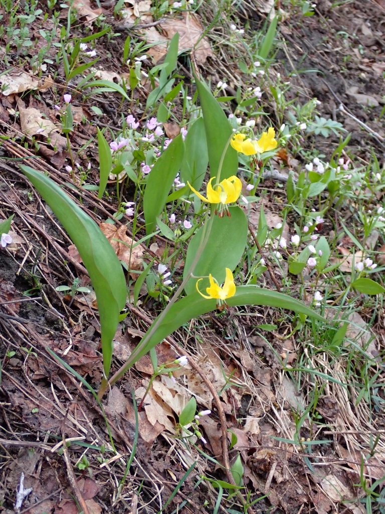
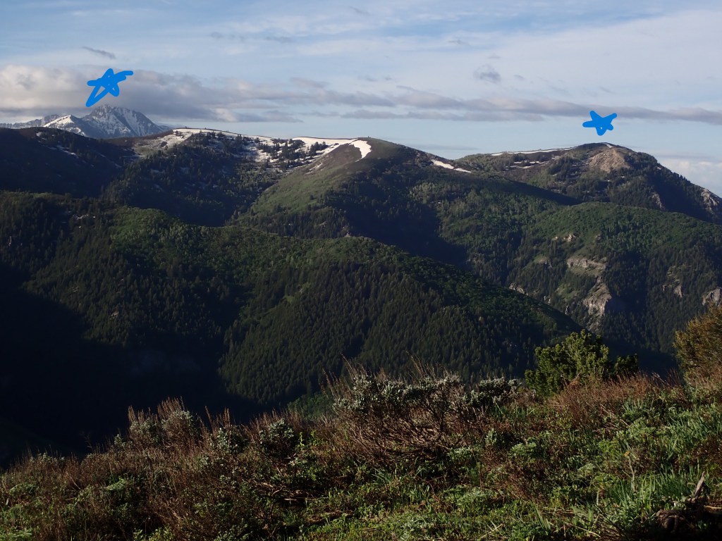
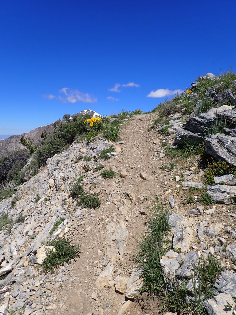
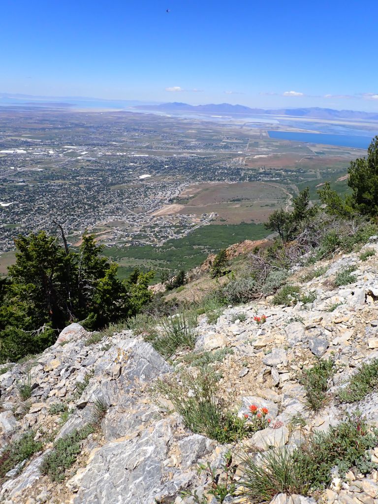
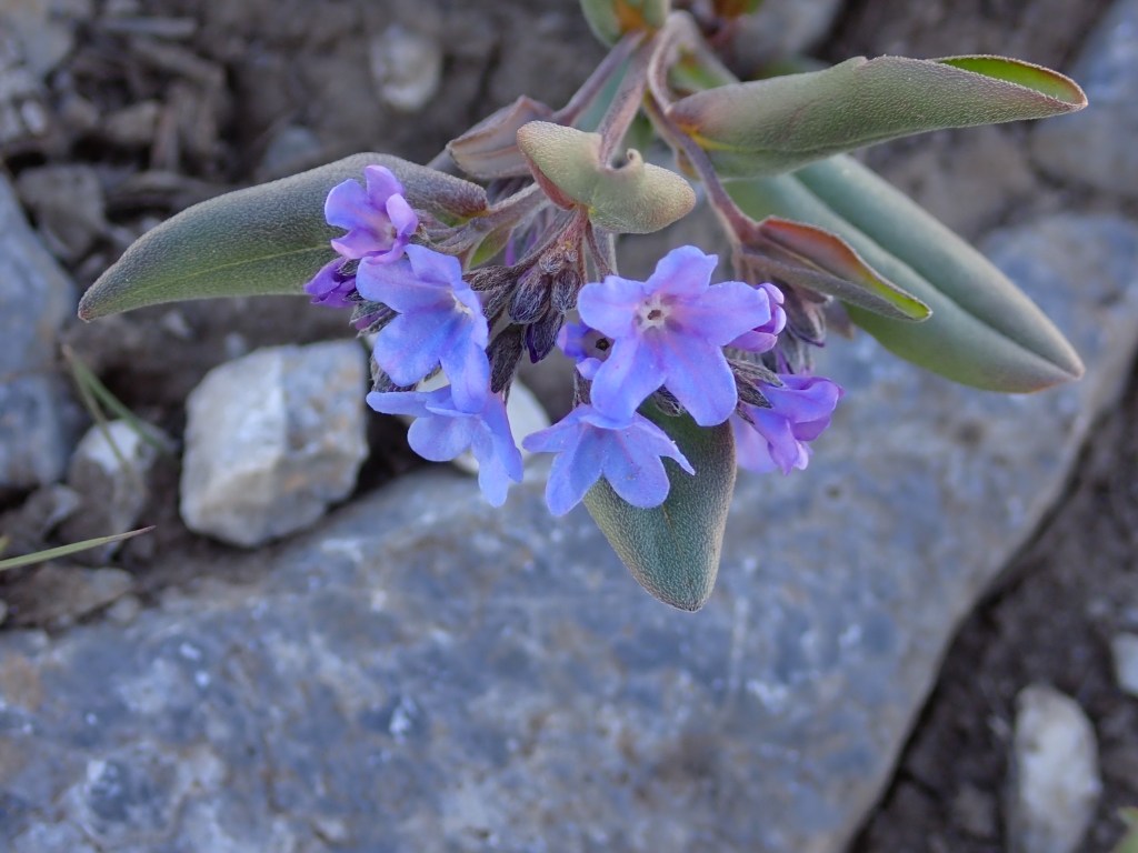
Sun just about to peek over the ridgeline – time to turn off the headlamp!Looking back at Lewis Peak and Mt. Ogden in the distance.Sun just hitting the summit of Ben Lomond as I rounded the last corner before the 4 mile traverse to the saddle and then the 1 mile up to the summit. Beautiful Day!Wild flowers were abundant and spectacular!Geraldine the Attack Grouse – protecting her nest/babies.This view was shot yesterday, June 16th.This shot taken about the same location 12 days prior. The recent hot weather cleared almost all the snow off the lower part of the trail and about 1/2 of the summit snow.View of the summit approaching the saddle.Next objective is Willard Peak. It is the highest point on the ridgeline that follows from the Ben Lomond Summit. Joel and I had done both peaks in one day many moons ago but it was a 21 mile round trip so I opted not to do it this time! There are other alternate routes that we will probably consider in the early fall that are significantly shorter.Looking down from the summit area to North Ogden – our house is approximately where the blue streak is.
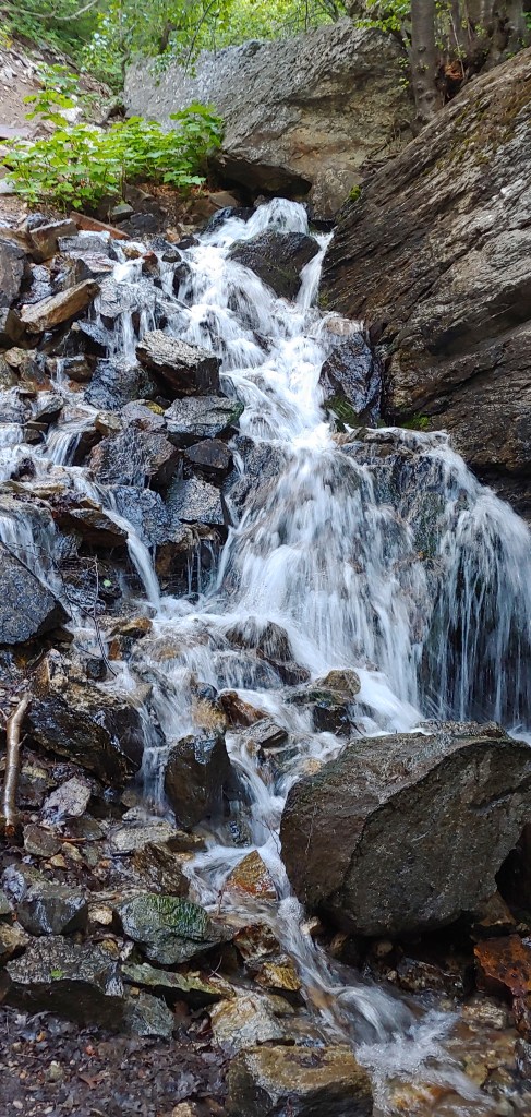
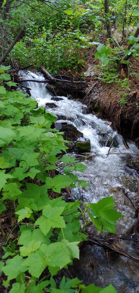
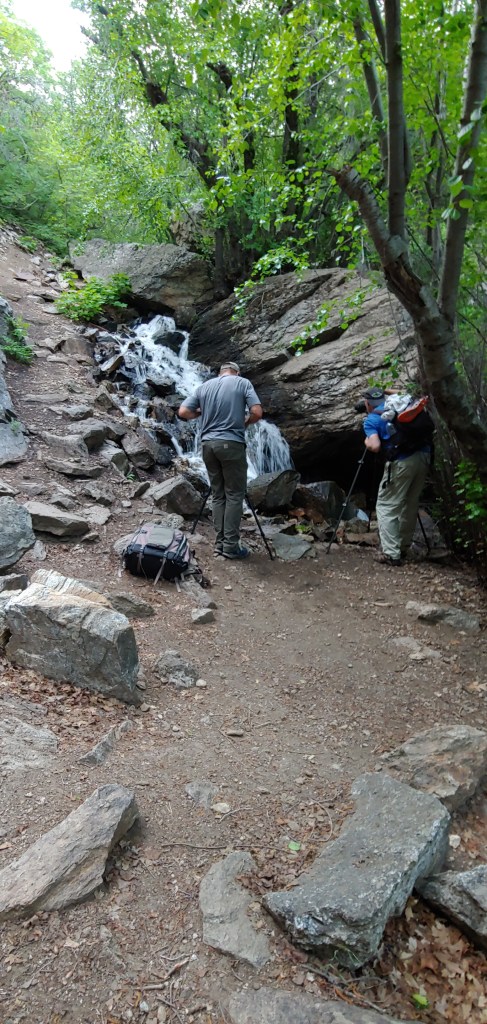
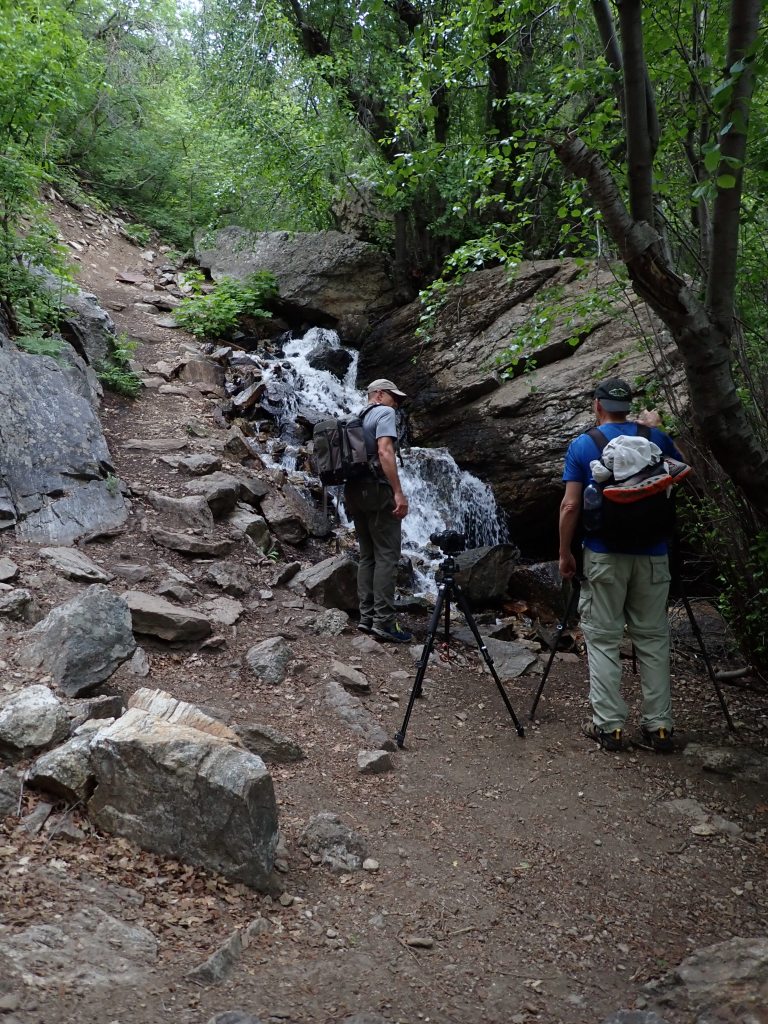
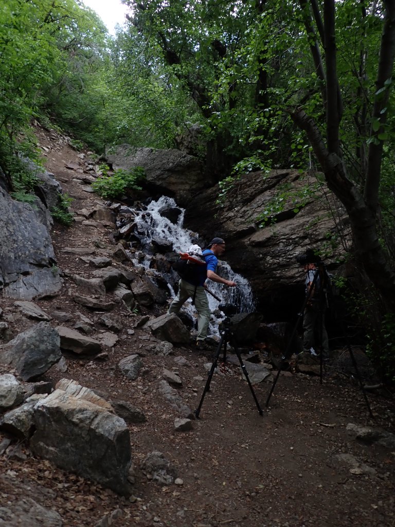
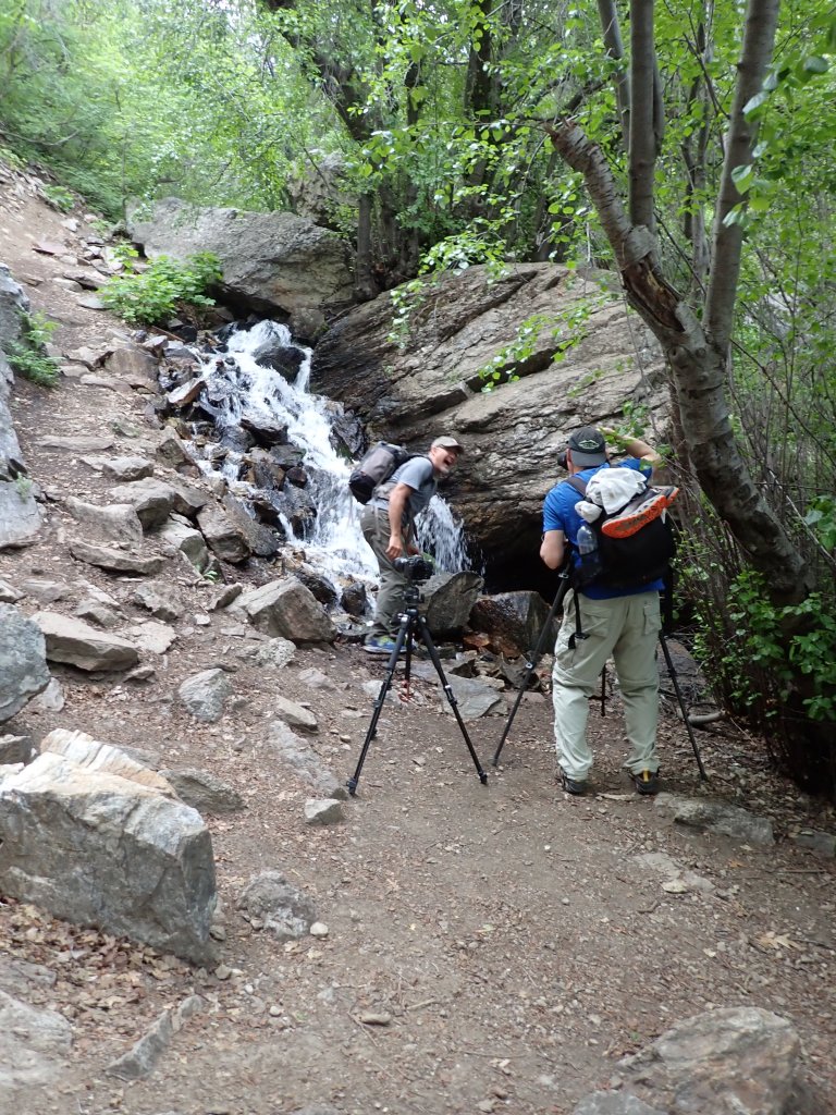
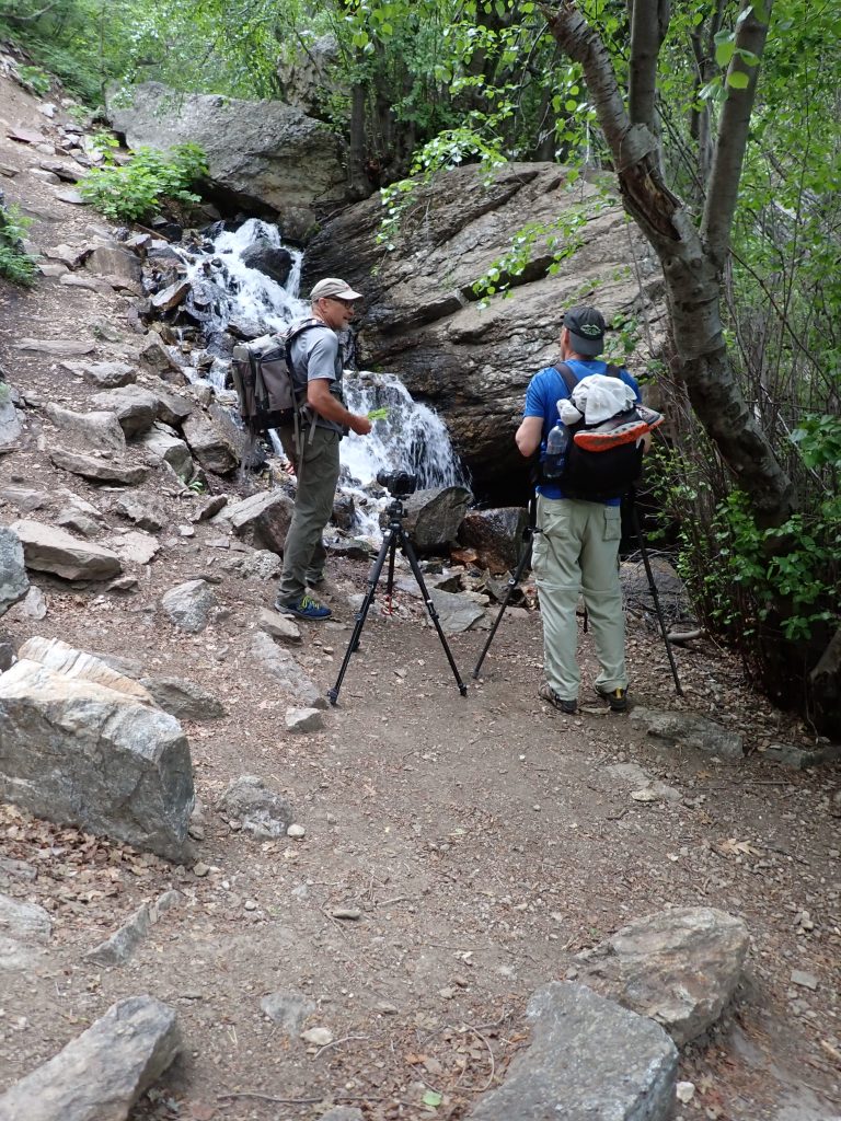
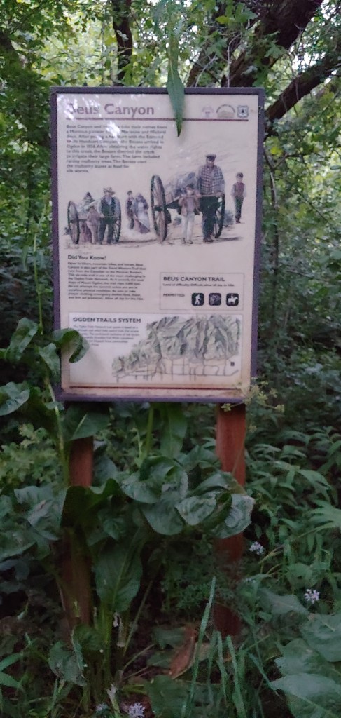
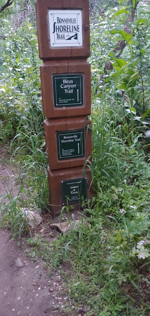
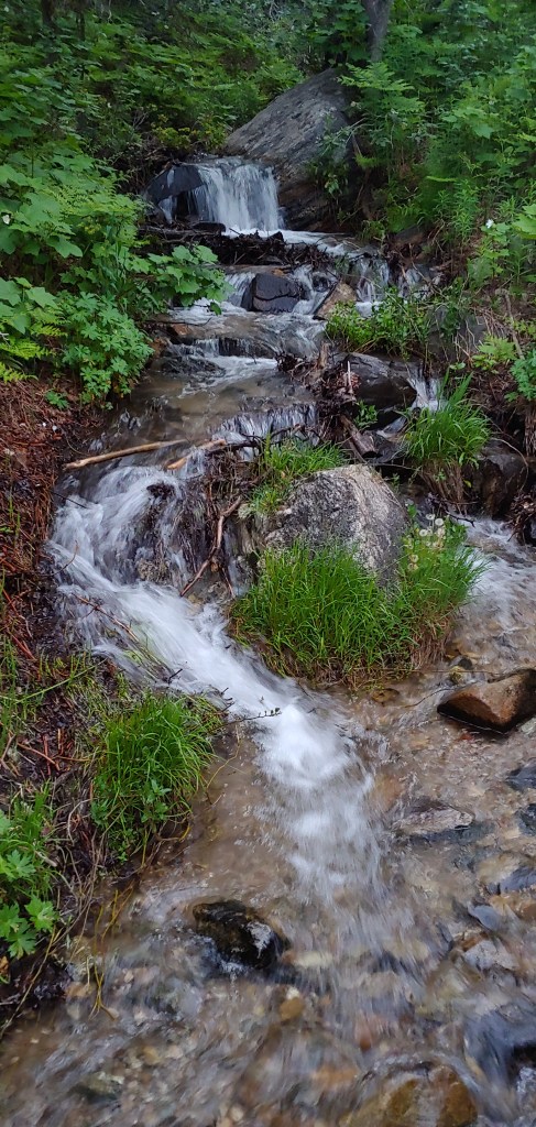
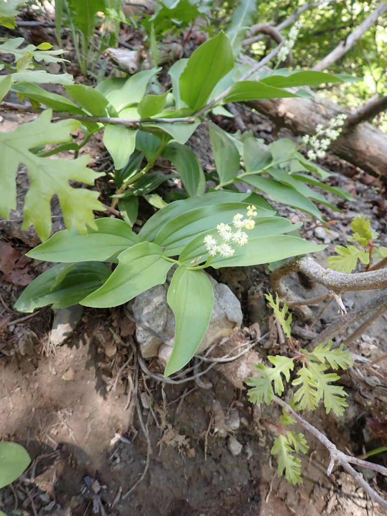
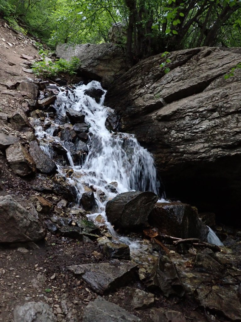
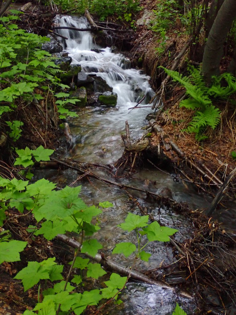
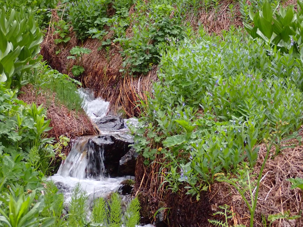
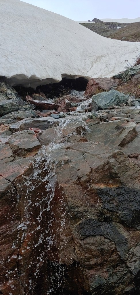
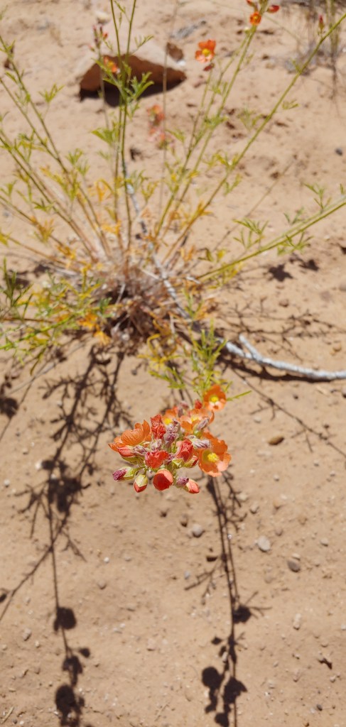
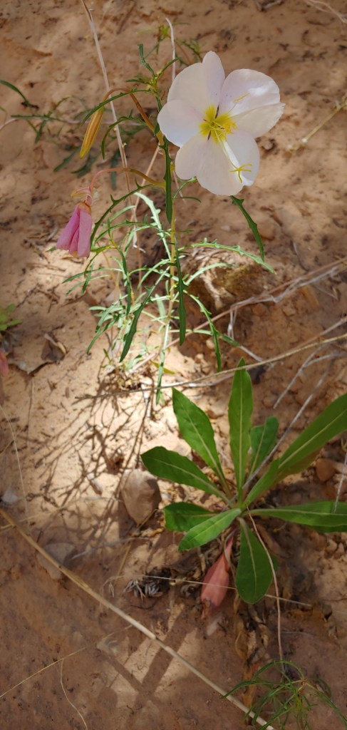
Earlier this month when I climbed Mt. Ogden, the first two miles went up through Beus Canyon. About 1/2 way through the canyon there is a nice waterfall. I told Joel that he and Kevin (his photographer buddy) should venture up there. I ended up tagging along and took flower photos while the two of them worked the waterfall scene.
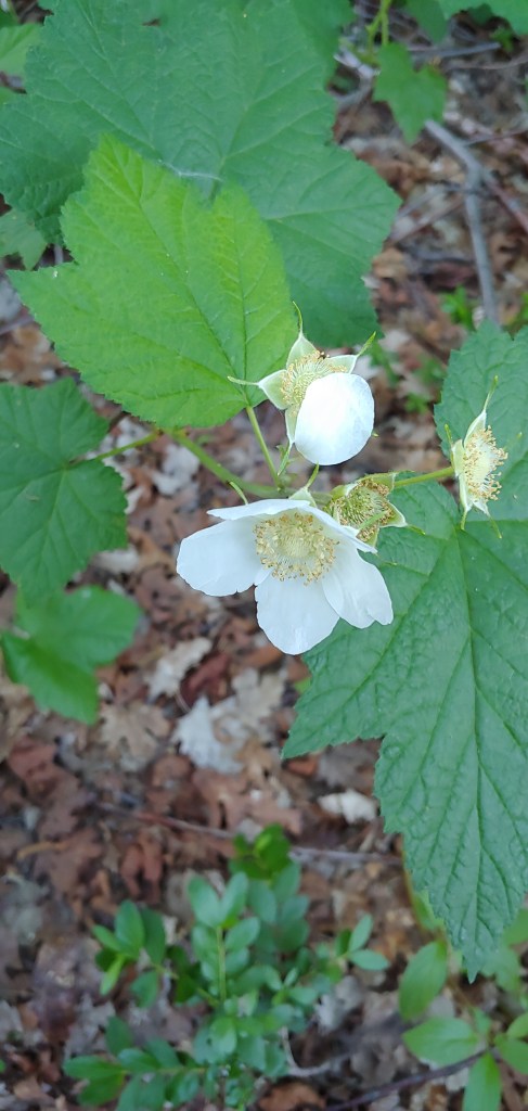
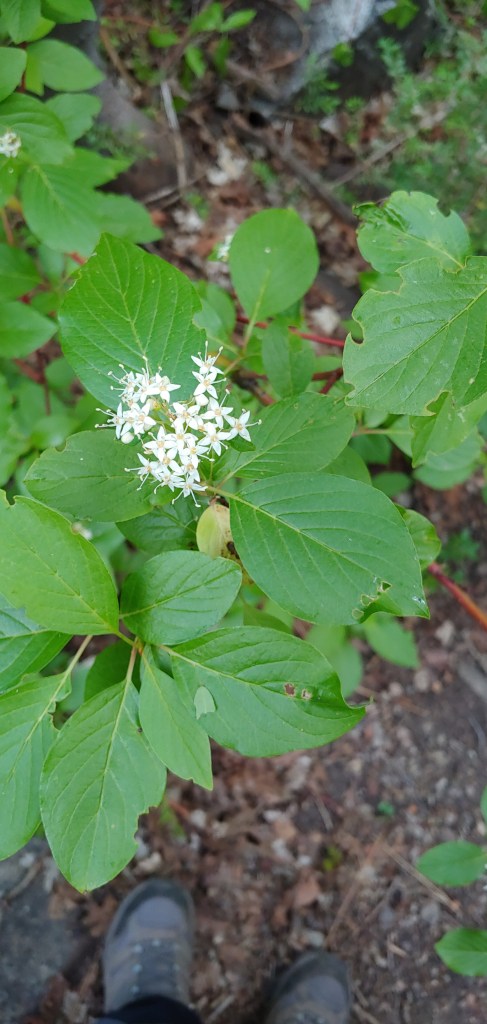
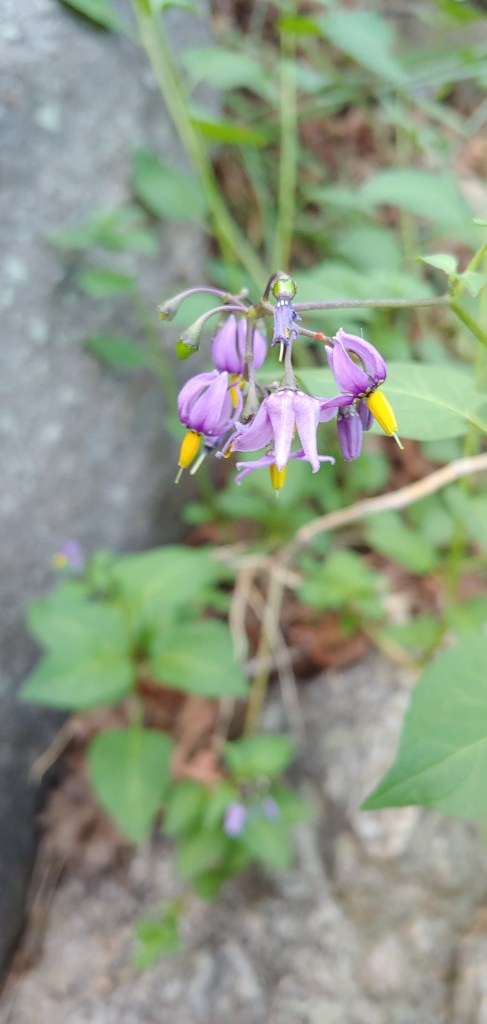
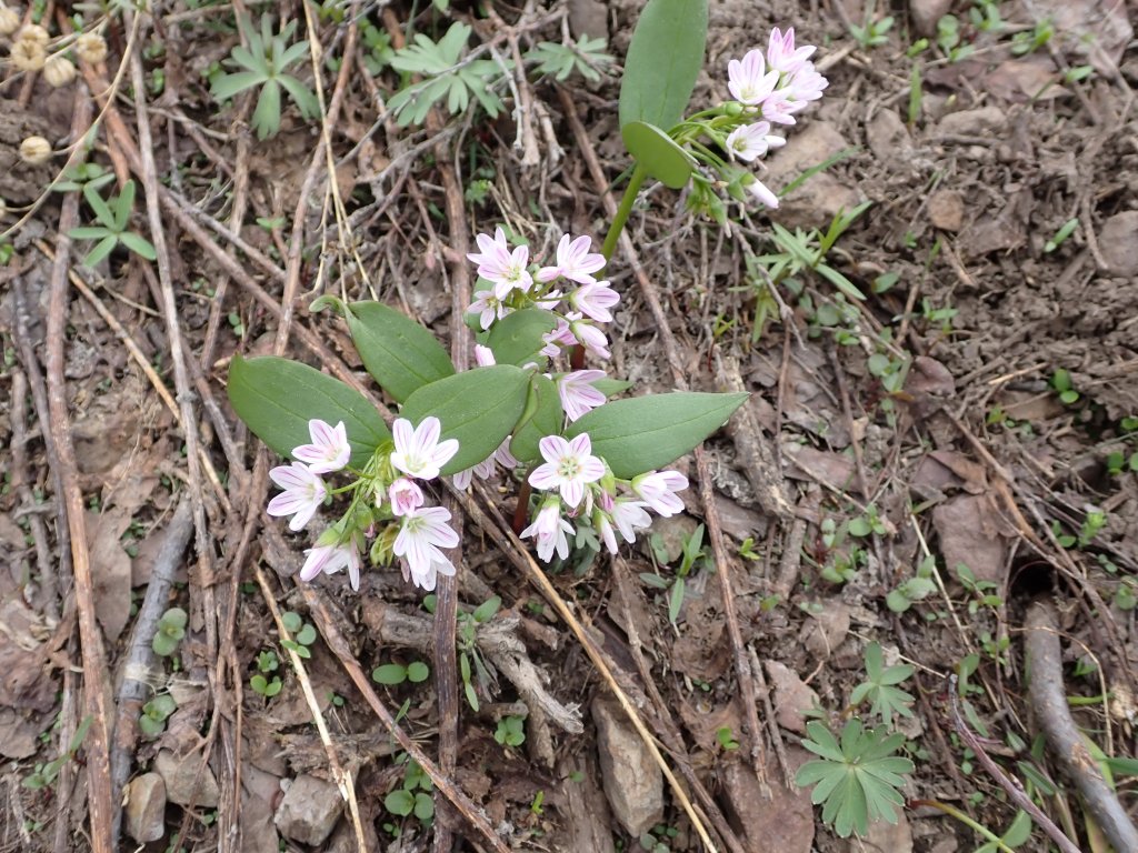
ThimbleberryHoundstongueTapertip OnionWoods’ RoseWasatch PenstemonWild GarlicSticky GeraniumGrand CollomiaSluggo SluggoTall Fringed Bluebells and Braken FernRed Osier Dogwood and my hiking bootsBittersweet Nightshade
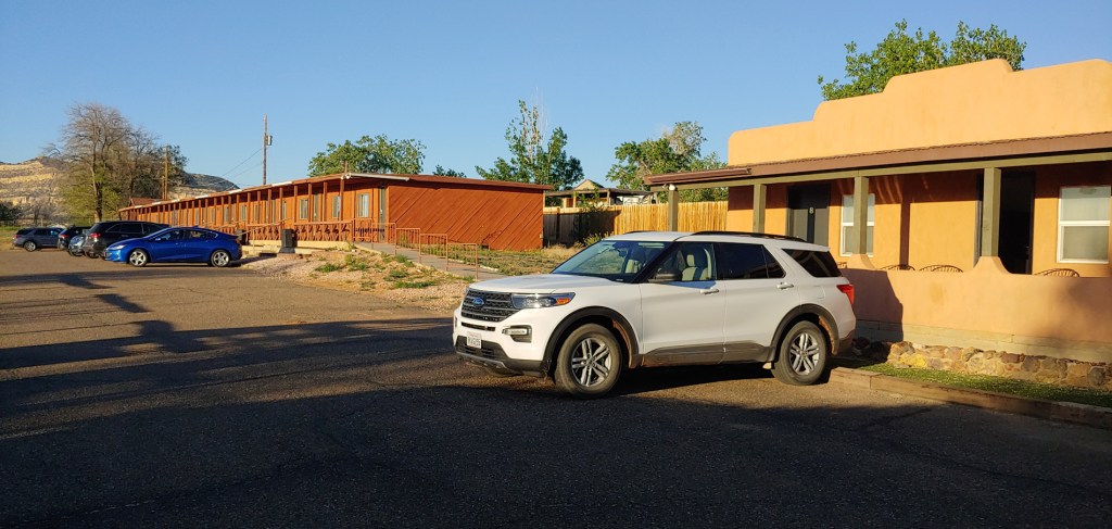
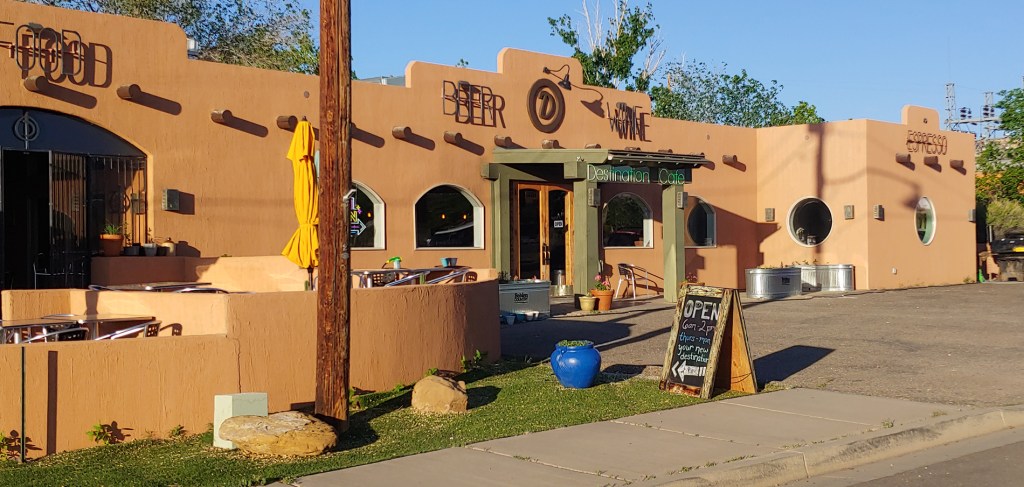
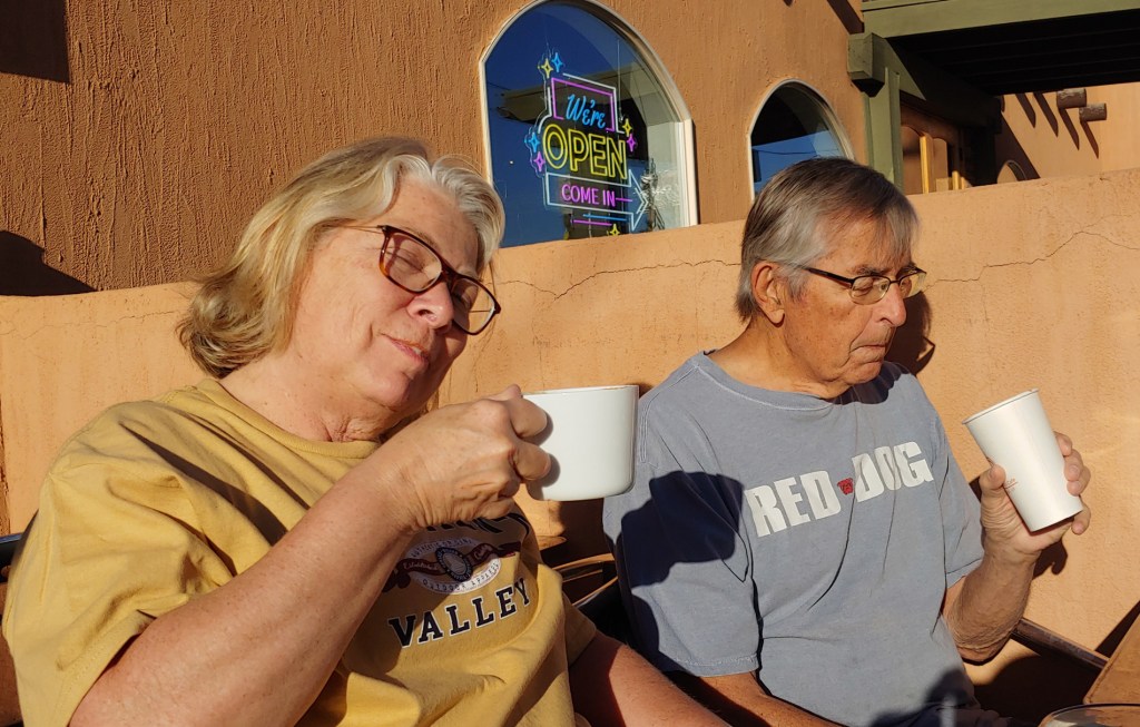
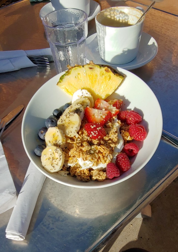
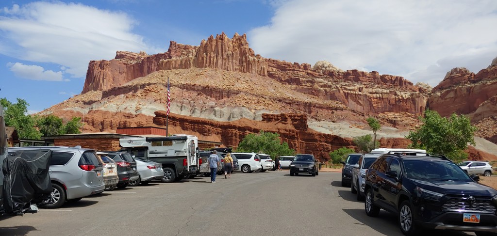
Sadly, our fast and furious tour of Southern Utah was coming to an end. Today we started with a nice breakfast at the Circle D Motel restaurant in Escalante then headed off to Capitol Reef National Park.
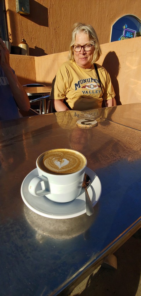
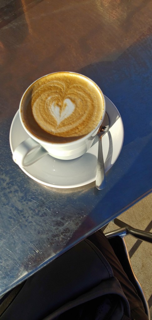
The Circle D Motel where we have stayed many times.Dinner last night – pretty much one of only two or three restaurants open in town – no workers …Beautiful morning to sit outside and enjoy the great day, meal and friends.
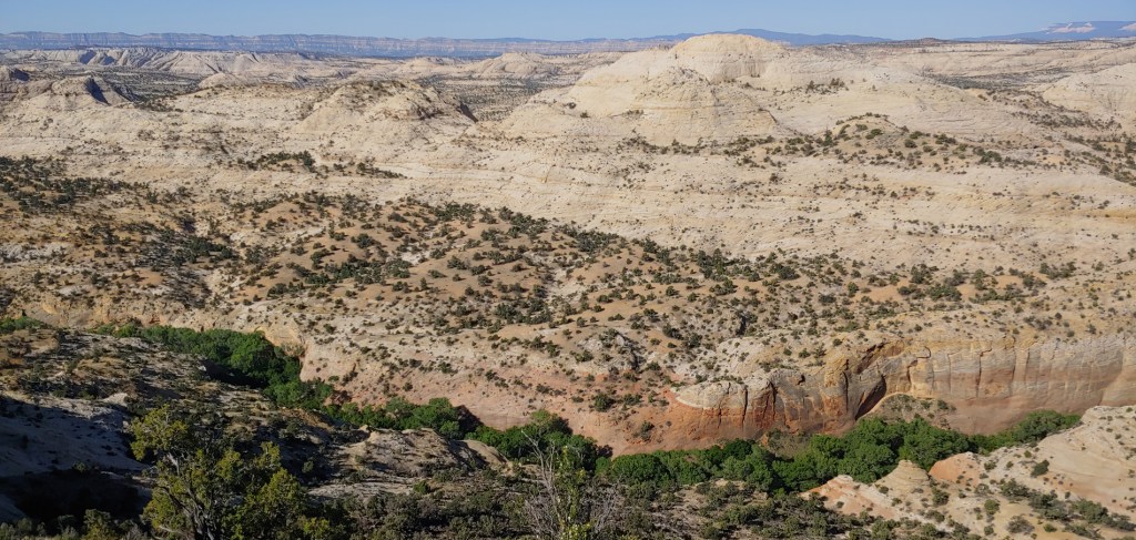
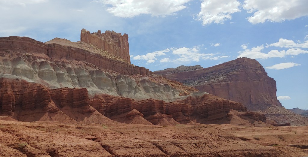
We drove on the Utah Scenic Byway 12 up to Boulder, UT and then stopped in Torrey, UT, and then on to the Capitol Reef National Park Visitor Center.
Capitol Reef National ParkCapital Reef National Park Visitor Center
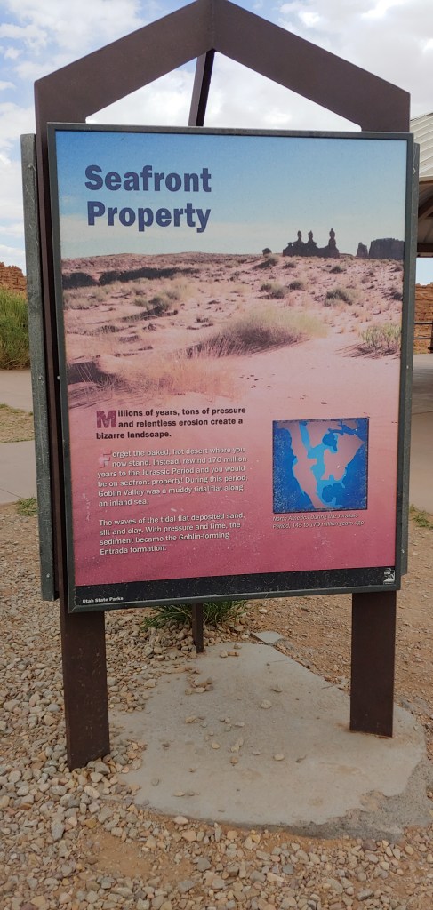
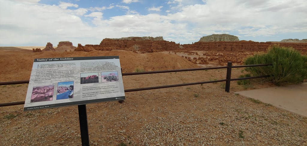
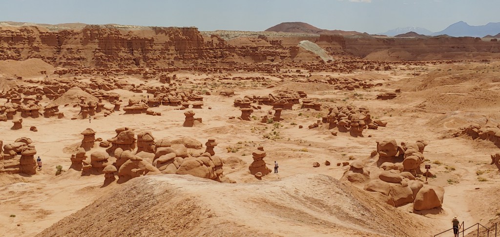
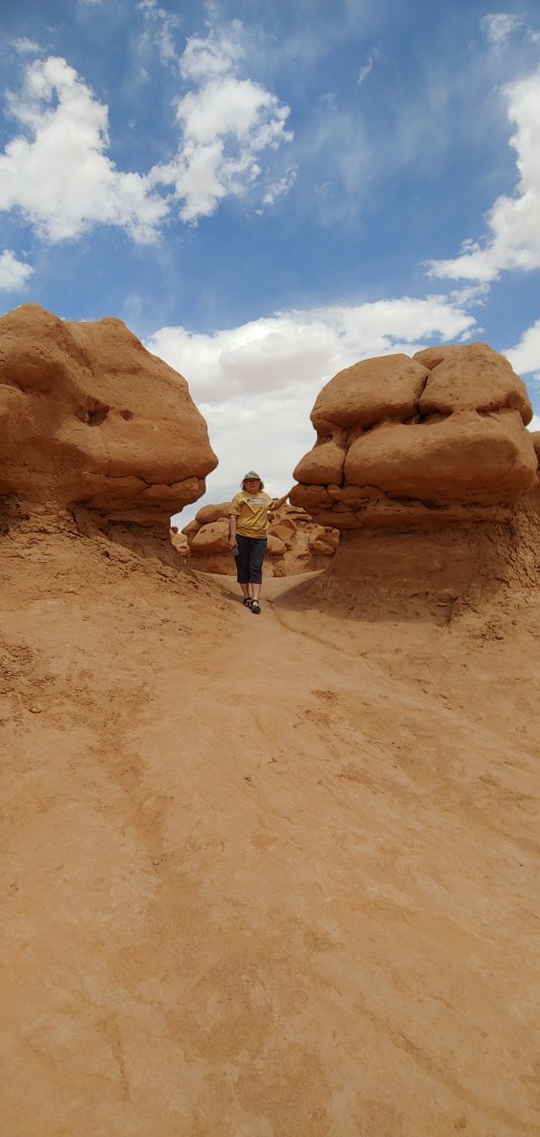
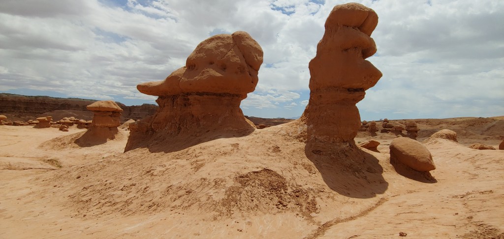
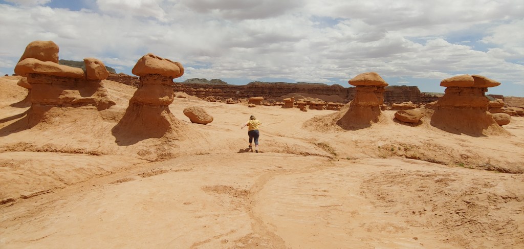
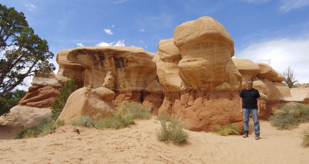
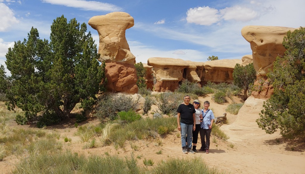
We stopped for lunch in Hanksville and then off to our last stop – Goblin Valley State Park – seeing the goblins was one of Jenifer’s top priorities! Actually very impressive as this was the first time in 16 years living in Utah that I actually stopped there. Joel had been there for photo ops in the past.
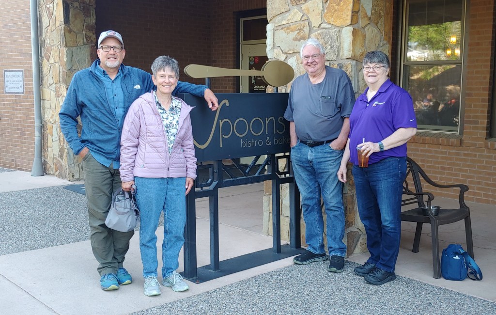
THE END!
Jenifer and Steve took off the next morning – who knew that a Costco Card was valid for travel? I guess the black and white, pinkie-nail sized photo is all TSA needed!
Joel and I met cousin Janet and her husband Keith for breakfast in Grand Junction and off we went for the 5 hr. drive to North Ogden.
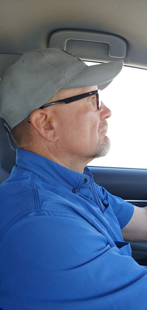
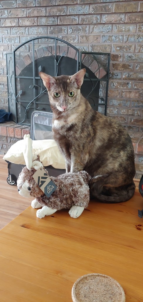
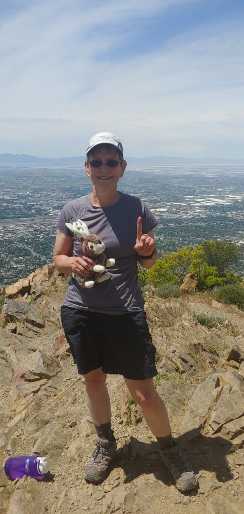
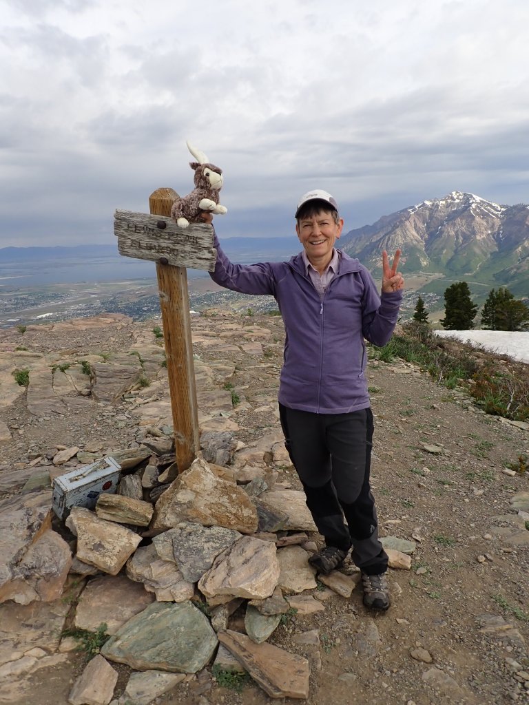
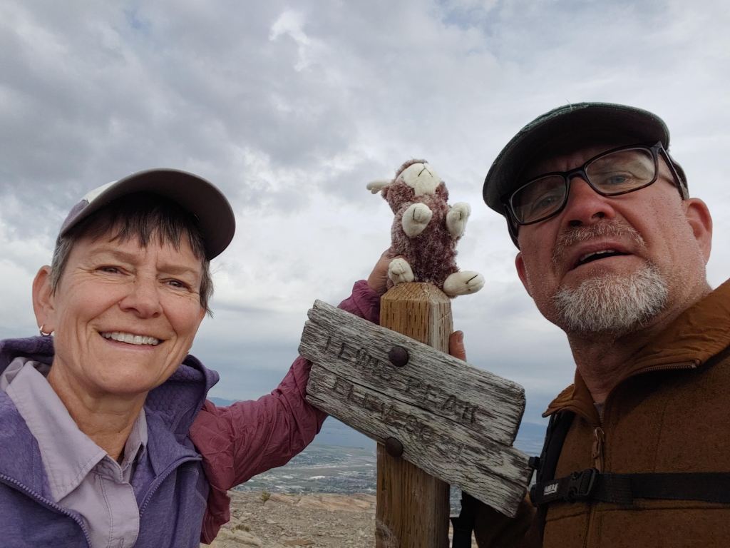
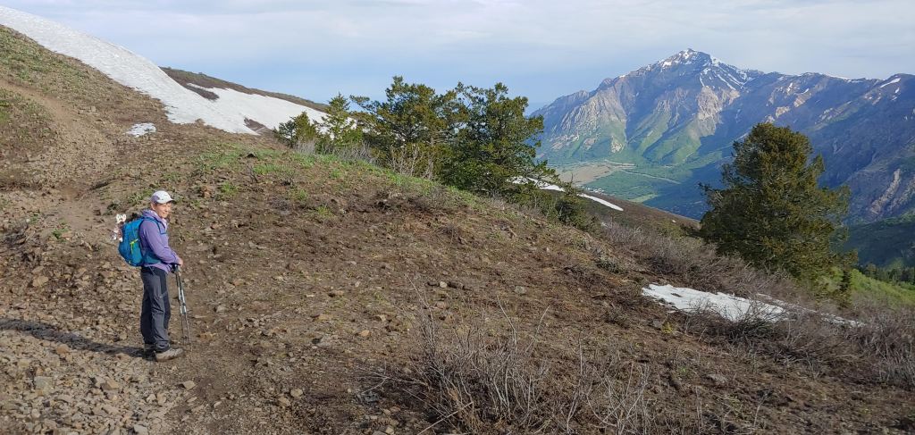
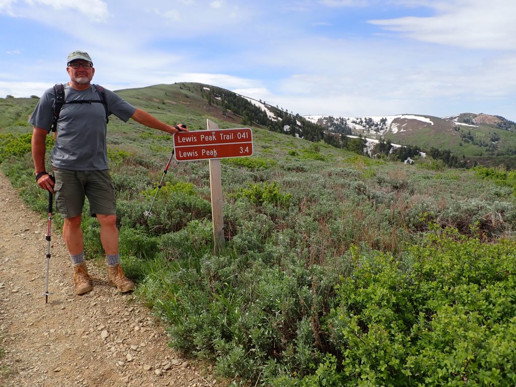
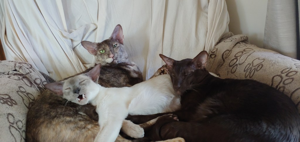
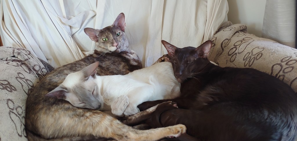
Was Dad’s birthday and it seems that everyone had their own idea on how to celebrate the day. In our area one of the great volunteer organizations is called the Trails Foundation of Northern Utah and they do an amazing job maintaining trails and educating the public in our area. Last year they started a Peak Challenge where you have five months to climb four prominent peaks in the area. I decided to join this year and the challenge started on June 1st. I thought to myself, “Why don’t I do the four peaks in fours days and end on Dad’s Birthday?” Seemed fitting so I signed up. I brought along Ron, the Jackalope. Joel climbed Lewis Peak with me but opted out for the others.
June 1 – Peak # 1 – Malan’s Peak – elev. 6,980′ , 6 miles, and 2,241′ ft’ elevation gain
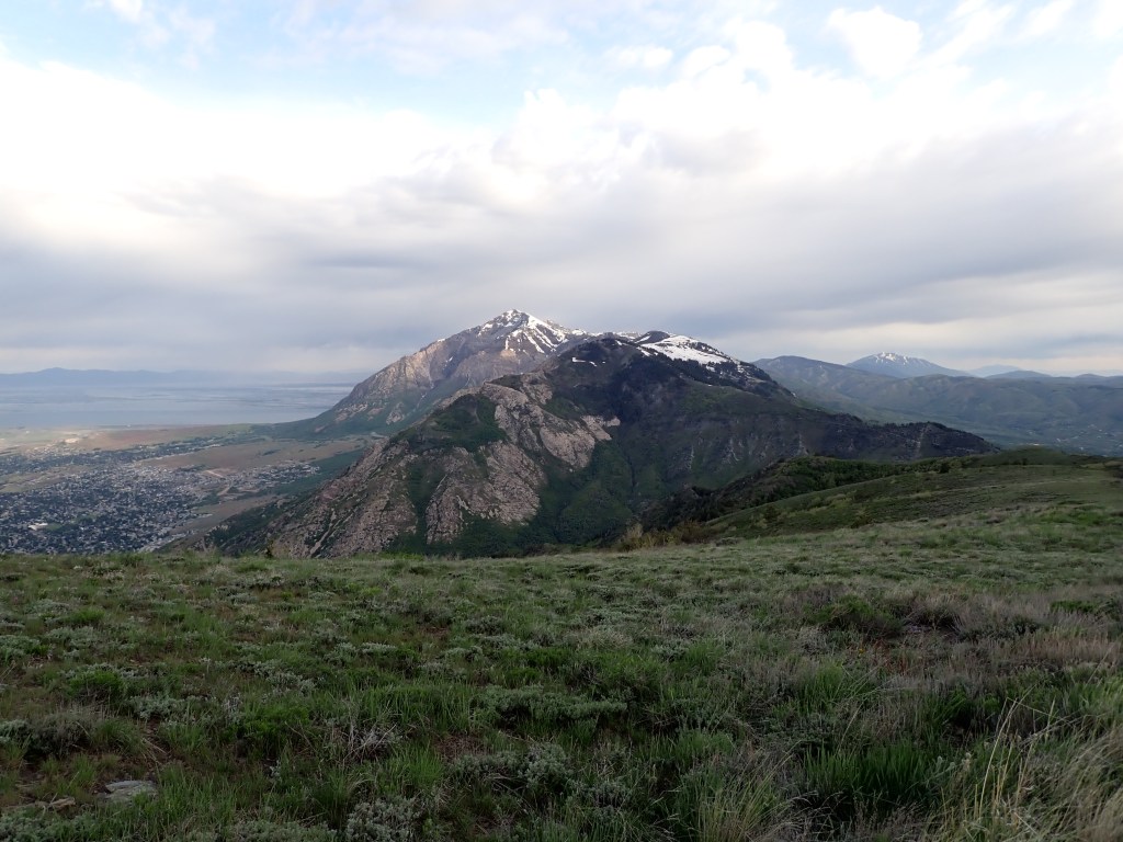
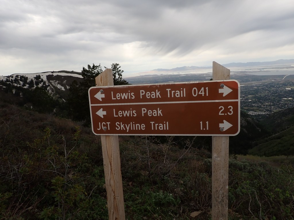
June 2 – Peak # 2 – Lewis Peak – elev. 8031′ , 10.9 miles, and 2,,822′ ft’ elevation gain
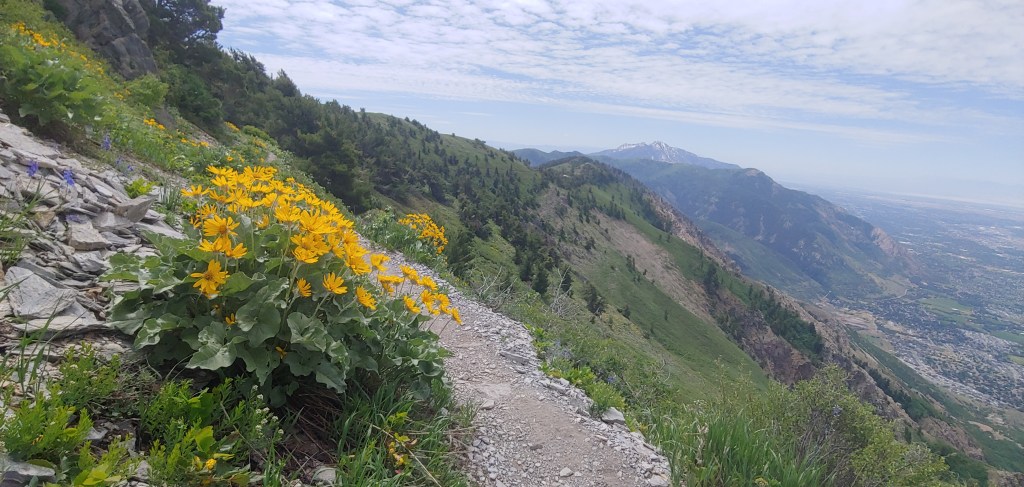
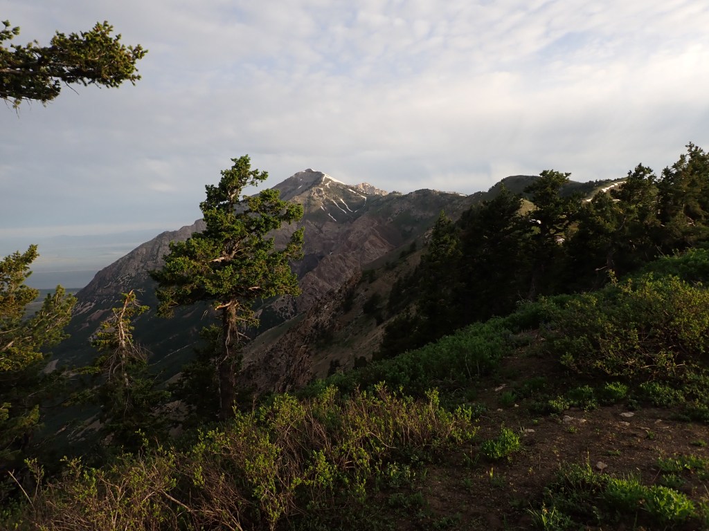
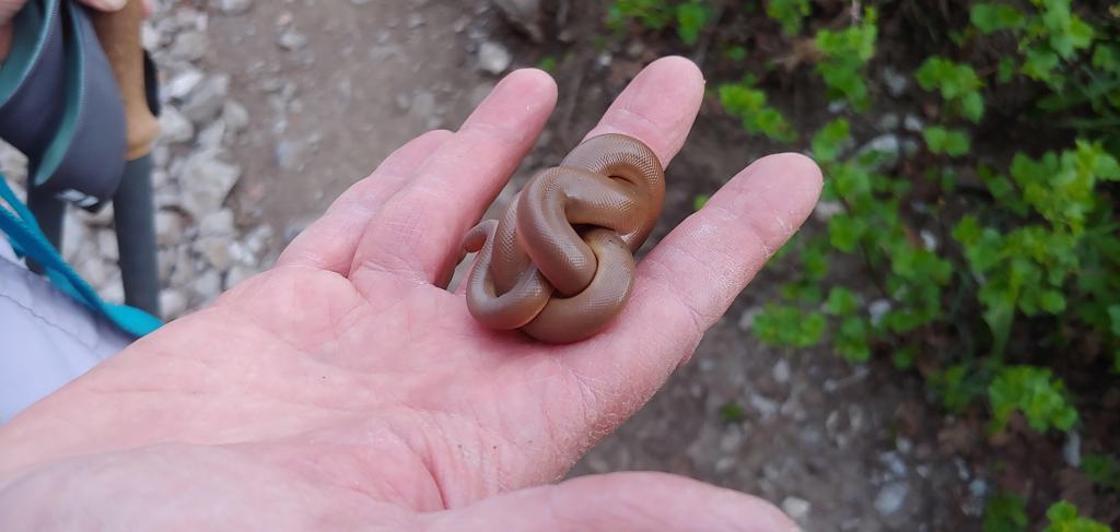
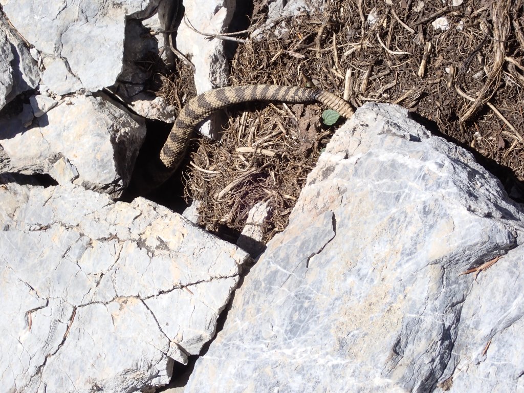
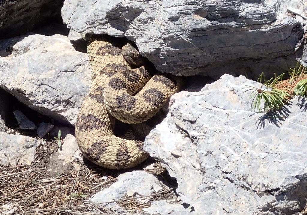
Baby rubber boa doing everything right … curl in a ball, hide/protect the head and poop. He was on the trail and I heard motorbikes coming up the trail so moved him into the bushes. A few snow traverses, but not bad.Looking out with Ben Lomond in the background.Tomorrow’s objective, Mt. Ogden in the distance.
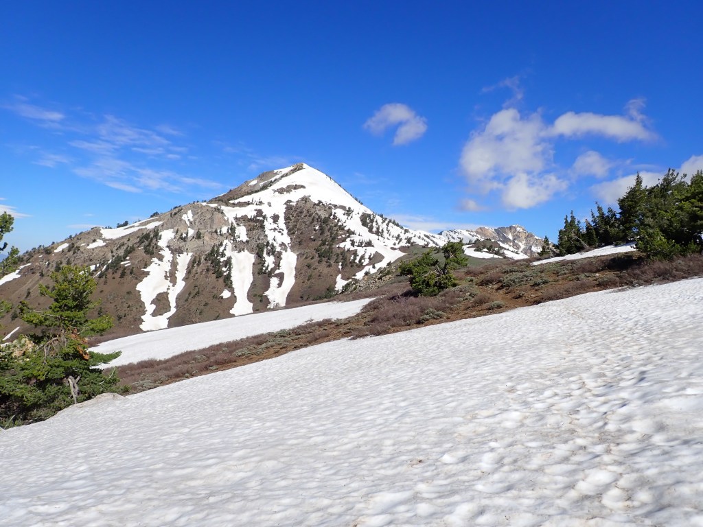
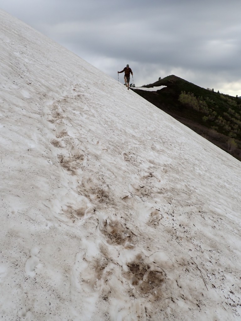
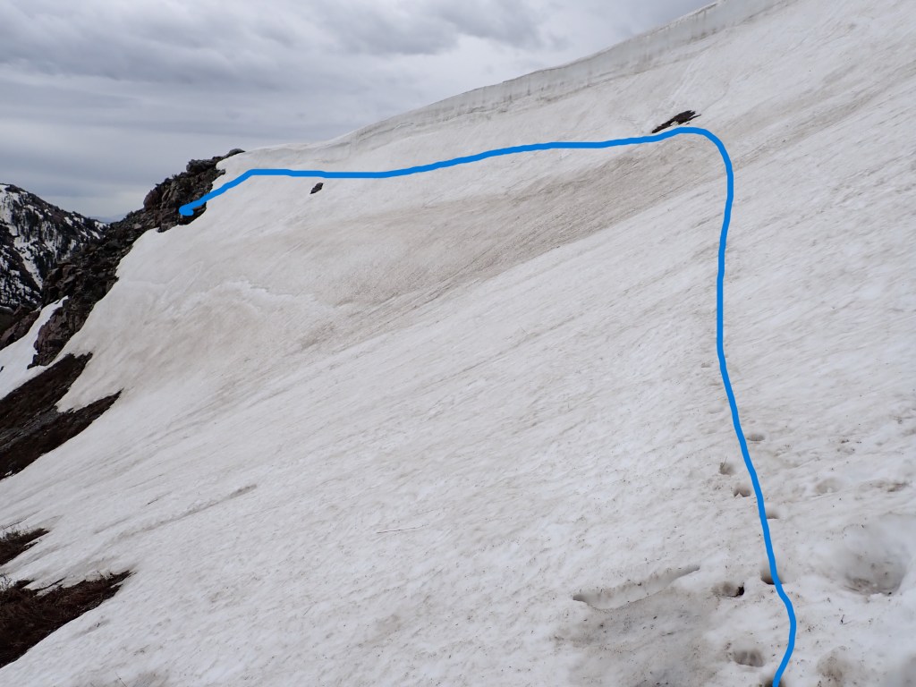
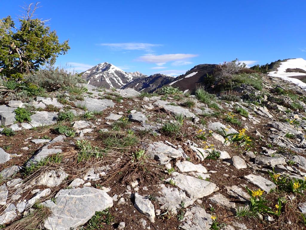
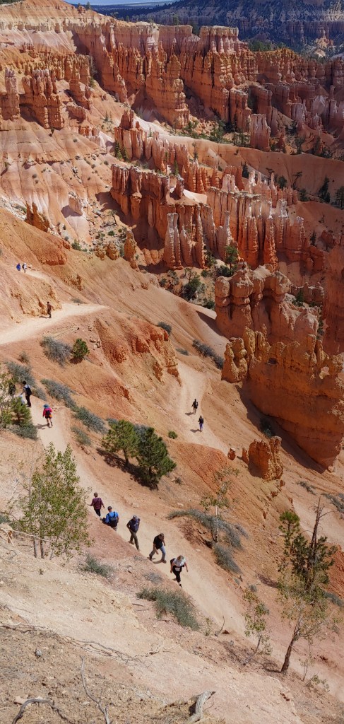
June 3 – Peak # 3 – Mt. Ogden – elev. 9,579′ , 12.8 miles, and 4,777′ ft’ elevation gain
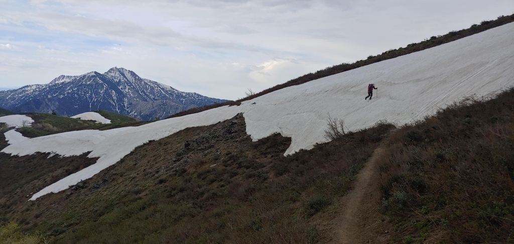
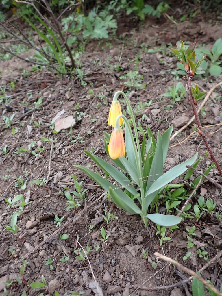
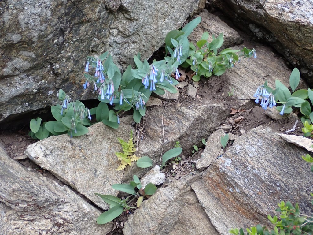
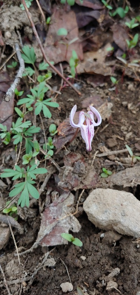
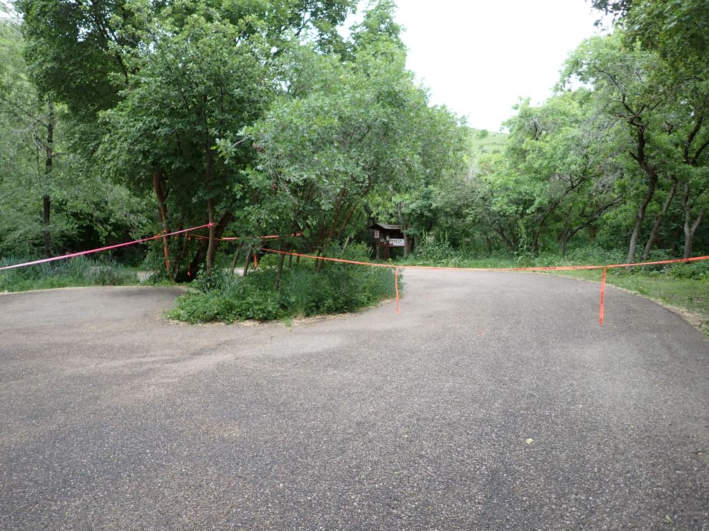
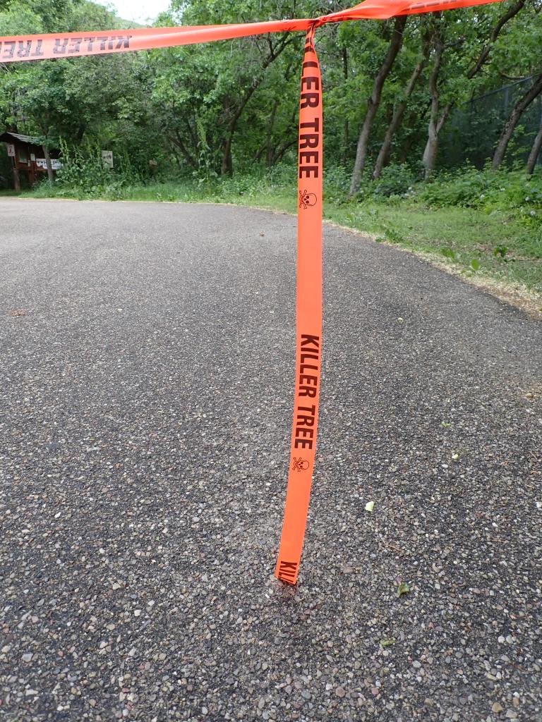
Beautiful waterfalls and flowers for the first two miles of the hike.The weather forecast didn’t call for rain until the afternoon – I beg to differ! Spend hardly any time on the summit and it was so cloudy and overcast that there were no real photo ops!Four snow traverses to get to the summit ridge – this was the most challenging – looking up. Once you got to the rocks you then turned right and got on top of the ridge to the summit a couple miles away.And looking down.Longhorn Steer’s Head Flower – probably one of the most bizarre flowers I have ever seen. I had to do a double-take when I first saw it as it looked like a skull. Only one flower like this on the entire trail today … WEIRD!When I got back to the car, 1/2 of the parking lot was blocked off for some tree trimming in the area.
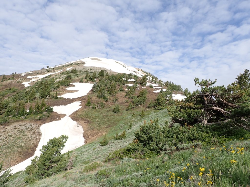
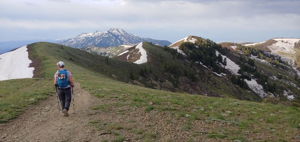
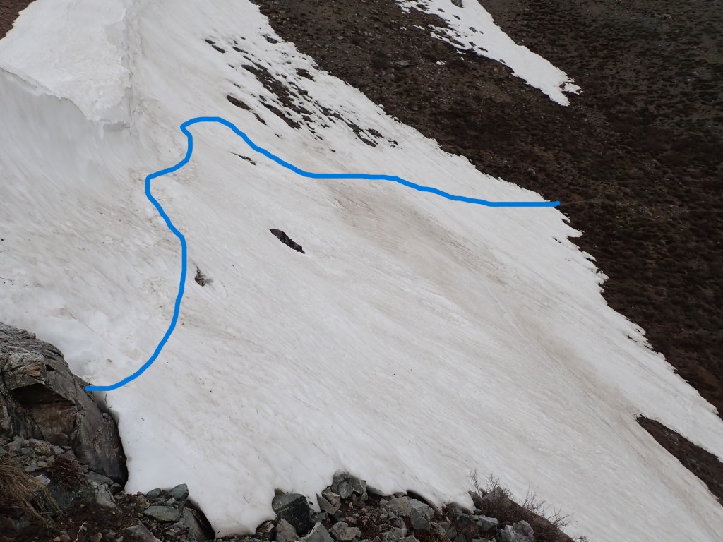
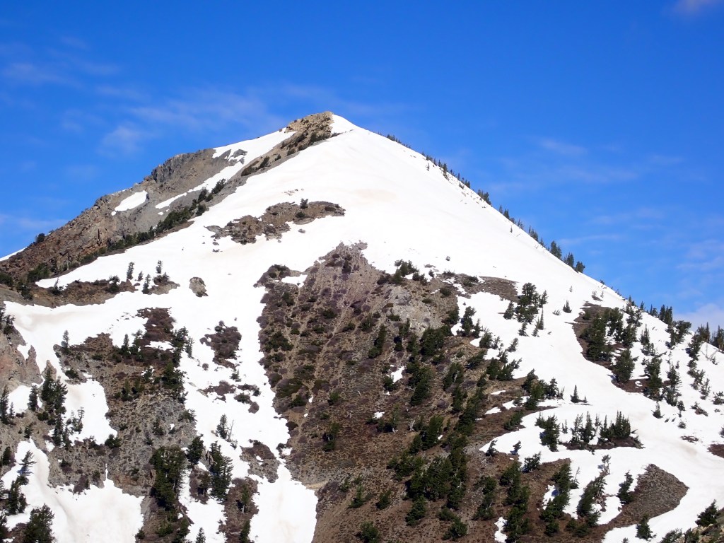
June 4 – Peak # 4 – Ben Lomond – elev. 9,716′ , 13.5 miles, and 2,936′ ft’ elevation gain
I got up early, excited to be able to finish the 4-Peak Challenge in 4 days, on Dad’s Birthday. After a great mountaineering breakfast of coffee, PopTarts and a banana, I was up to the trailhead. Well, as Dad and Mom used to say, “Discretion is the Better Part of Valor…” I got up to the saddle after four hours of hiking, looked and tested the snow conditions of the next 1,000′ and decided “Not Today!” The snow is melting very fast and it took me longer than I thought to get to the saddle so I didn’t feel comfortable. Although people had been up the day before, I decided it was not a good idea for me, especially climbing alone. So I headed down and enjoyed the rest of the day!
From the North Skyline Trail on Ben Lomond, Mt. Ogden on the left and Lewis Peak on the right.After four+ miles, you finally get to see the summit of Ben Lomond. The “winter” route follows the snow ridge on the right hand side up to the summit.Perfect day with views over North Ogden, Ogden, Willard Bay and part of the Great Salt Lake.Near the top of the ridge on the way down, I was going to sit on a rock and have a snack. I then discovered that there was an anthill around the chosen rock so I turned around and almost sat on this other rock – ARGHHHH
All in all a great four days. Not too terribly disappointed that I didn’t make #4 – lots of time left until the deadline in October. Figured Dad would appreciate the ability to assess the situation safely! Plus, great training for my upcoming climb on Mt Olympus, hiking part of the Wonderland Trail (understand that Larina and Bob bailed on that adventure!) and Ecuador Volcanoes in January.
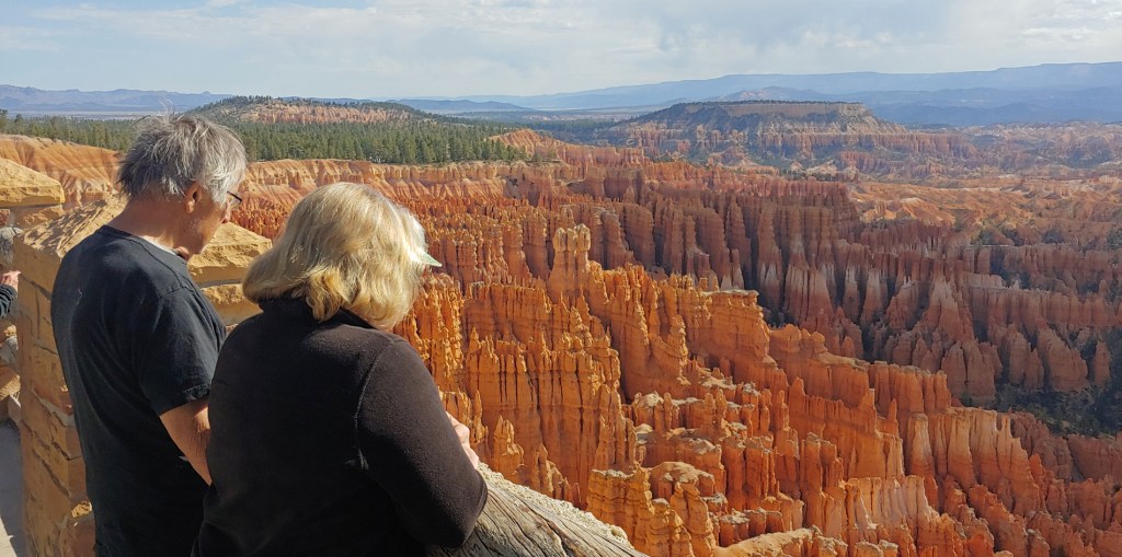
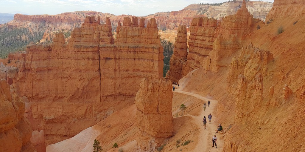
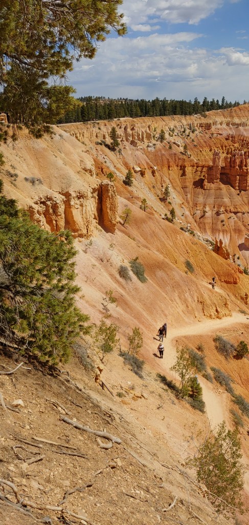
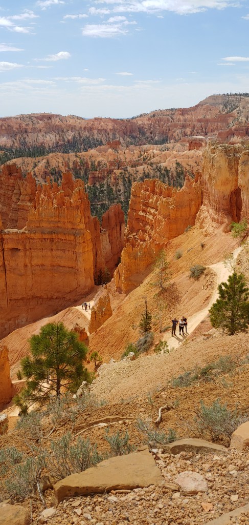
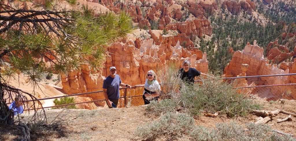
The main impetus for this entire trip was so that Jenifer could see Bryce Canyon so today we got to Bryce Canyon fairly early and spend time hiking around the rim and exploring all the amazing viewpoints.
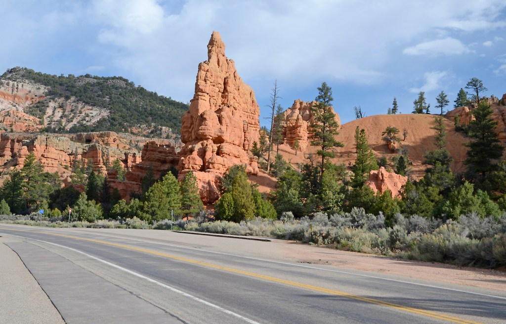
Red Canyon on the way to Bryce Canyon.This structure is called Natural Bridge.
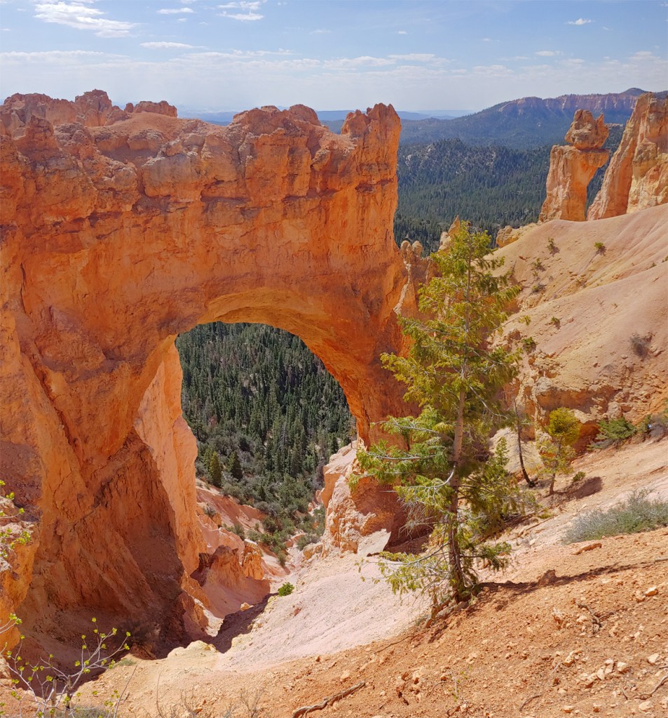
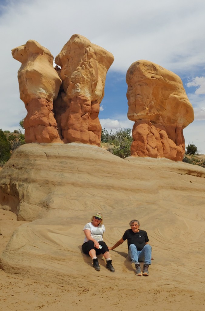
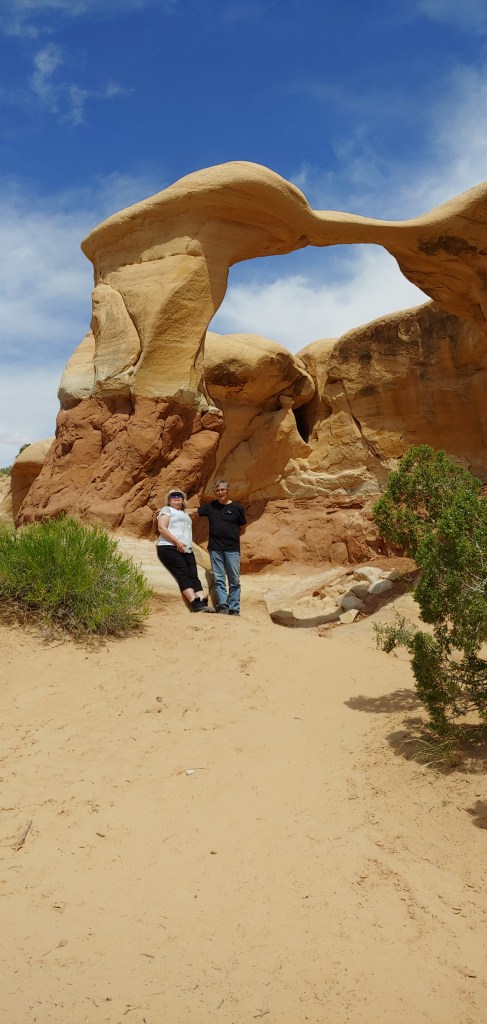
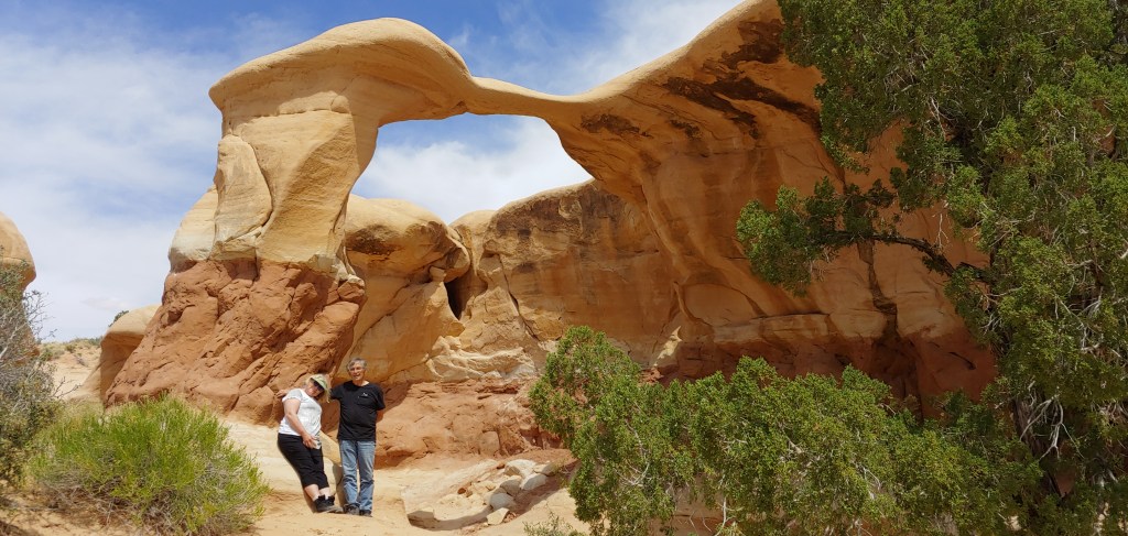
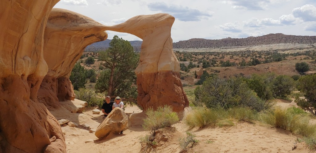
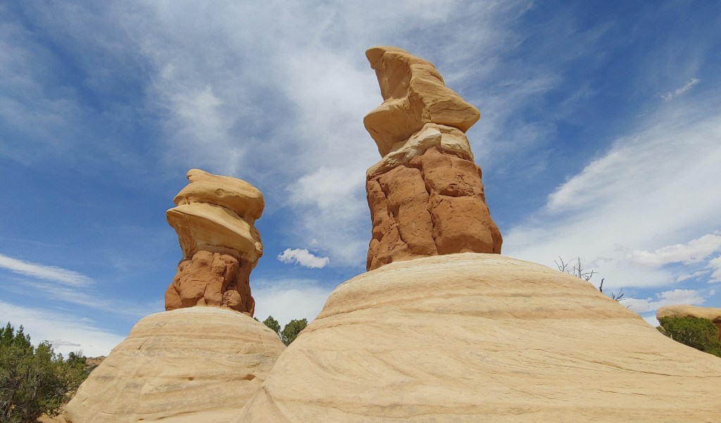
Once we had seen everything in Bryce Canyon we stopped at Ruby’s Inn for lunch. Then it was off to Escalante for the evening. Since we had a bit of time, we decided to stop at the Visitor Center and then head down the road about 10 miles to Devil’s Garden for some up close hoodoo viewing.
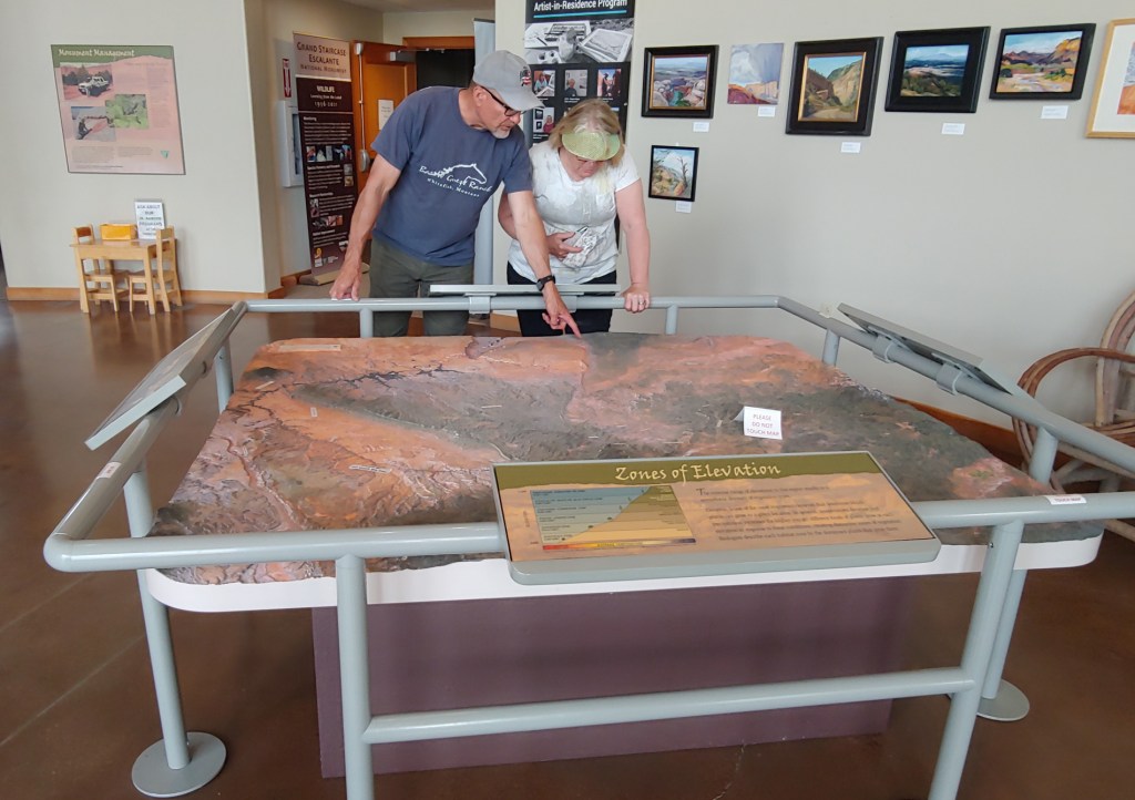
Joel’s favorite maps are the giant relief maps that are in the visitor centers.
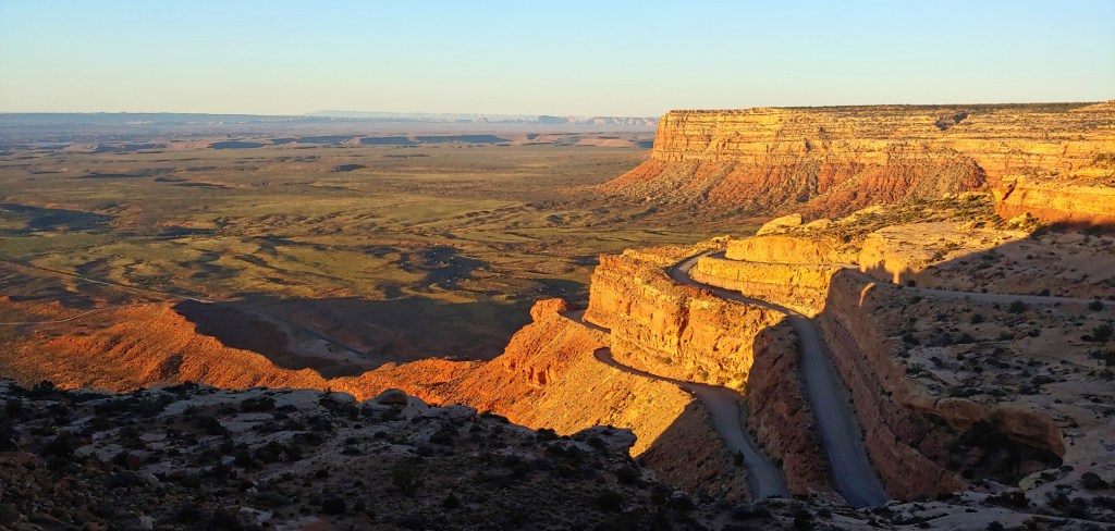
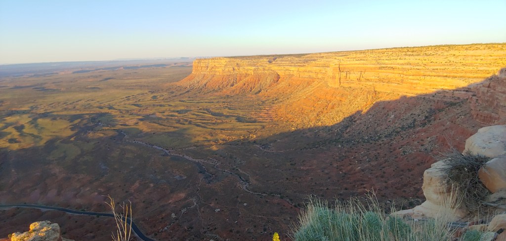
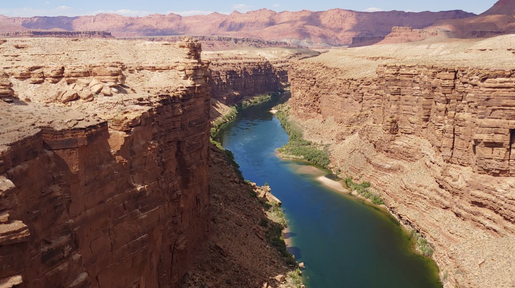
Today’s drive was planned for Mexican Hat, UT to Kanab, UT with stops in Monument Valley, Page, AZ and Marble Canyon/Navajo Bridge. On top of what promised to be another long driving day we decided to leave the motel by 6:00am and loop back and see the Valley of the Gods and Moki Dugway which we had to skip yesterday due to the tire issues.
On top of Moki Dugway as the sun rises and the Valley of the Gods below. The Moki Dugway was constructed in the 1950s by the Texas Zinc mining company, and it was initially used to transport uranium ore from the Fry Canyon mines on top of Cedar Mesa to a processing mill near Mexican Hat, 1200′ below.Valley of the Gods in morning light.
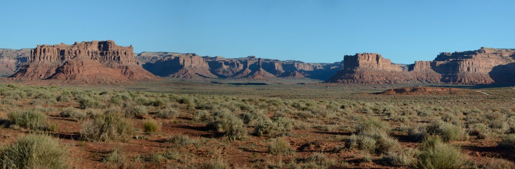
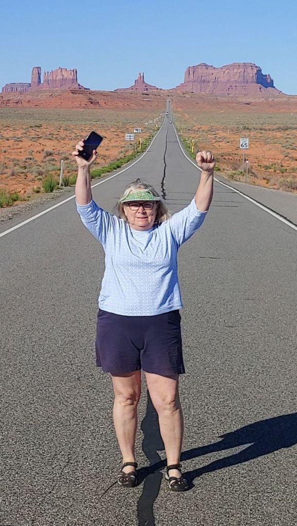
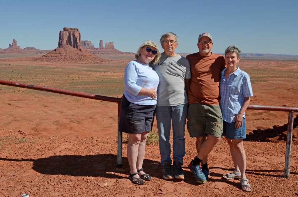
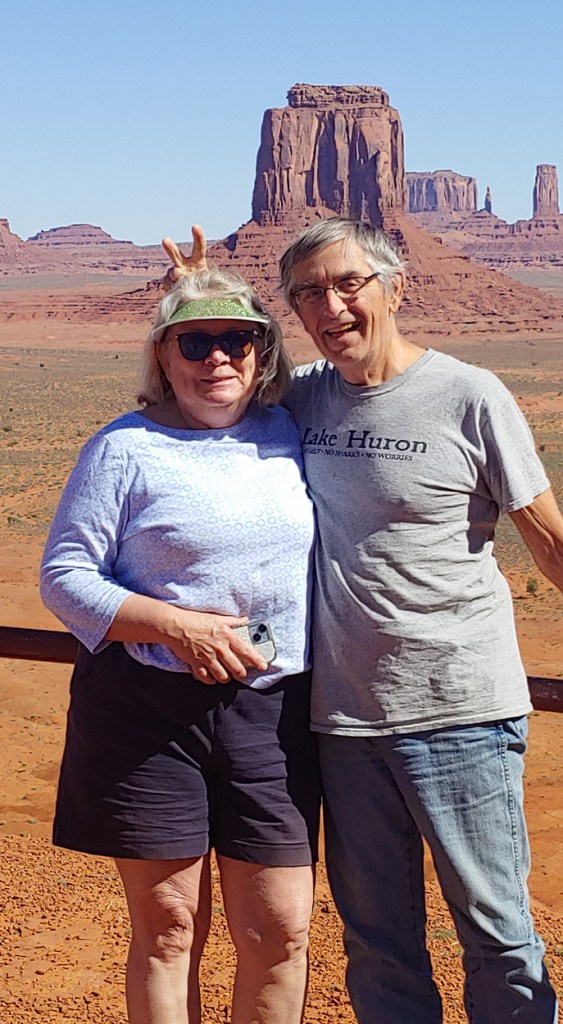
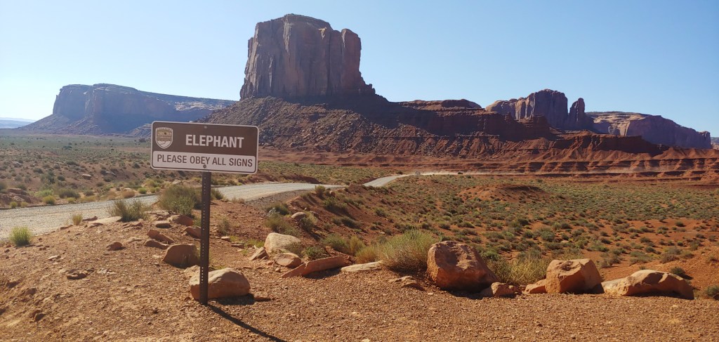
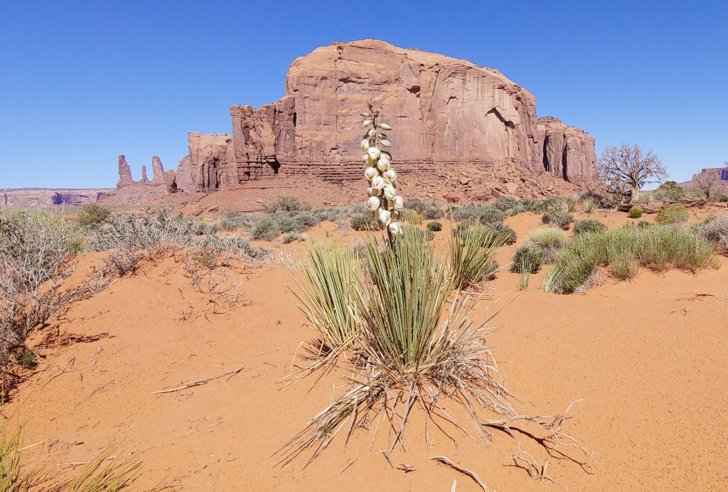
Our next stop was Monument Valley.
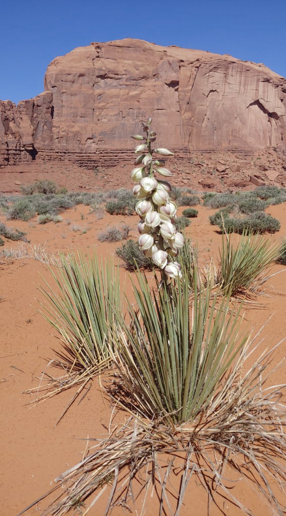
Jenifer reenacting the famous Forrest Gump scene.Artist Point OverlookSteve still has his sense of humor!On the entire 1400 mile roadtrip we saw one yucca plant that was in bloom – all the others we saw had bloomed last year and were dried up. This one was on the north end of the driving loop in Monument Valley. We watched at least one other vehicle do a second-take and make a U-turn to come back and photograph it.
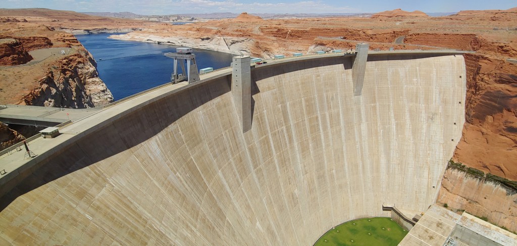
We stopped briefly in Kayenta to get gas and then headed to Page, AZ and the Glen Canyon Dam over the Colorado River.
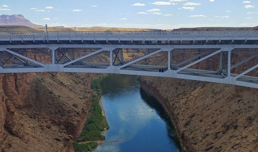
We then drove to Marble Canyon, hoping that we would see the California Condors that were sometimes sun bathing on the Navajo Bridge. We were not disappointed! We saw an adult and a juvenile on the girders below the new bridge and then 3 – 4 more adults ended up flying overhead. We were so excited to see them and watch them flying so close overhead that we didn’t even attempt to take photos!
We only had our cell phones with us when we walked across the bridge so not the best of photos but you can see the two California Condors sitting on the bridge structure.
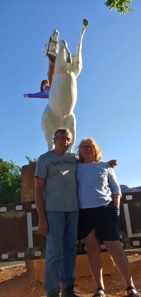
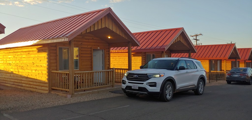
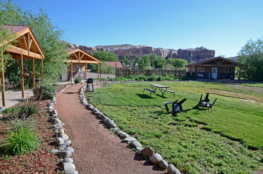
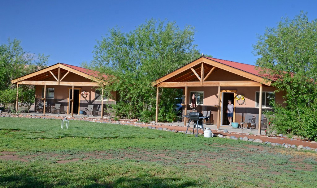
We finally made it to Kanab, UT where we stayed at the Red Canyon Cabins, had a great dinner at the Rockin’ V Cafe and then took Jenifer and Steve over to the Little Hollywood sign and the white stallion for the mandatory sac shot. We have a record of 6 for 6 now …
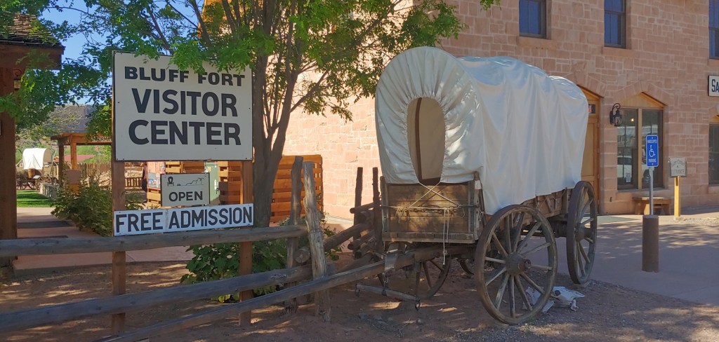
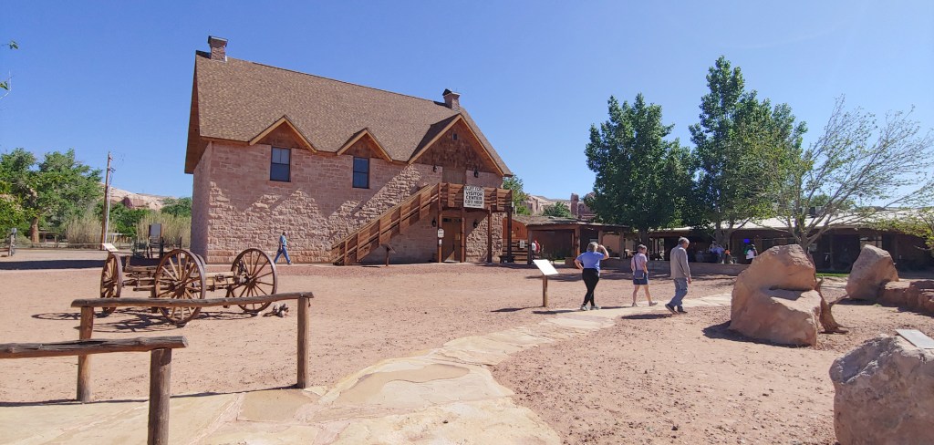
A jam packed day started with a leisurely breakfast in our cabins at the Bluff Garden Cabins, blue skies and a stop at the Fort Bluff Historic Museum. If you ever have the chance to go to Bluff, UT, make sure you stop there – we have been there several times now – the volunteers are amazing, they have some great videos, amazing re-creations (and in some cases original) of the cabins and buildings of the settlement and it is free. Probably one of the better, smaller museums I have ever visited. Donations gladly accepted!
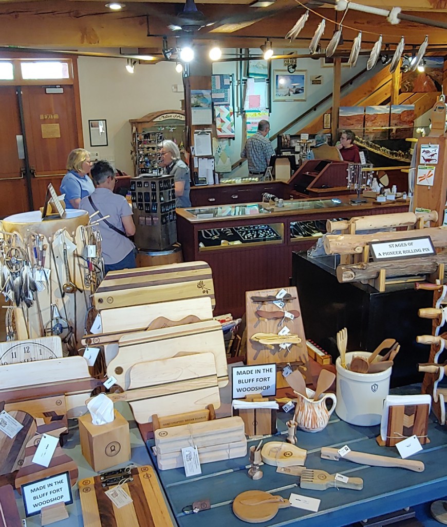
And, of course, a great gift shop!
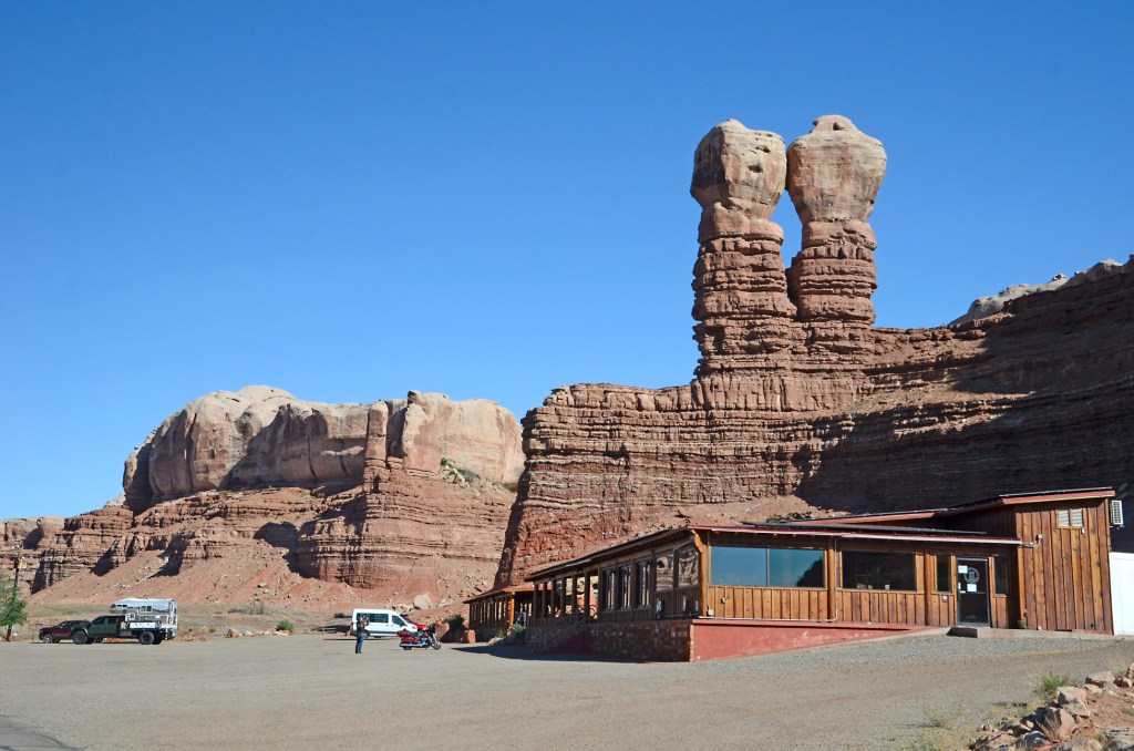
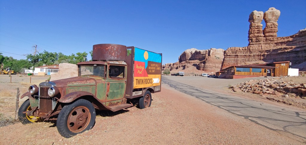
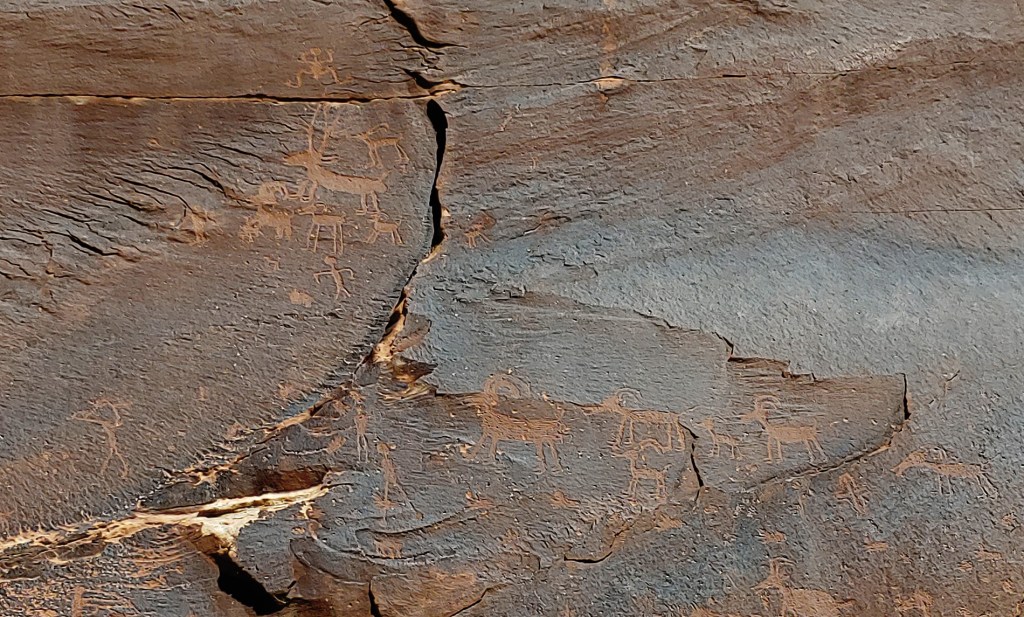
We then headed out of town, first stopping for some photos of the Twin Rocks at the east end of town and then headed west to see the Sand Island Petroglyphs.
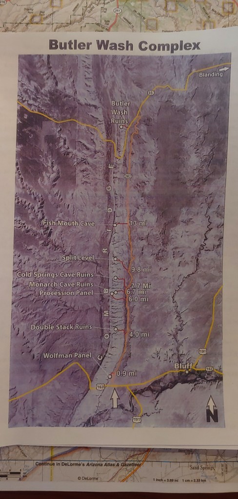
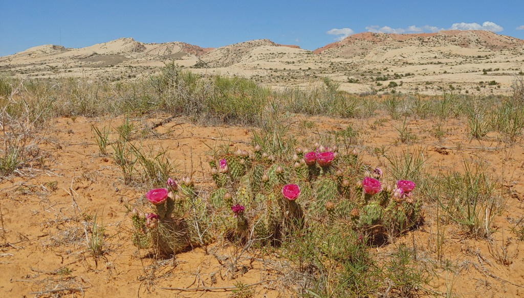
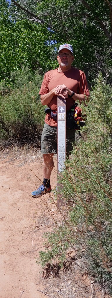
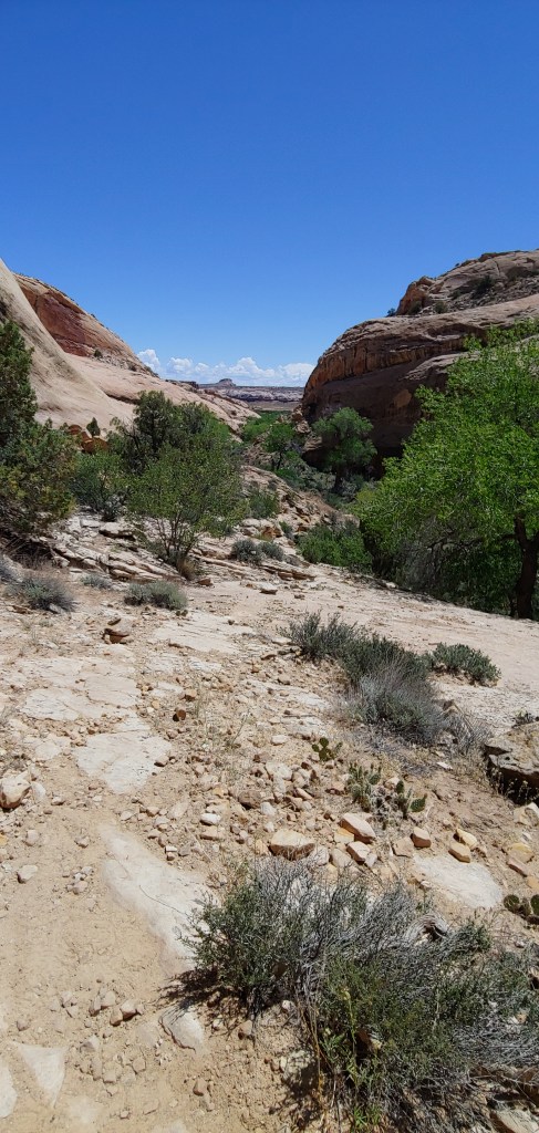
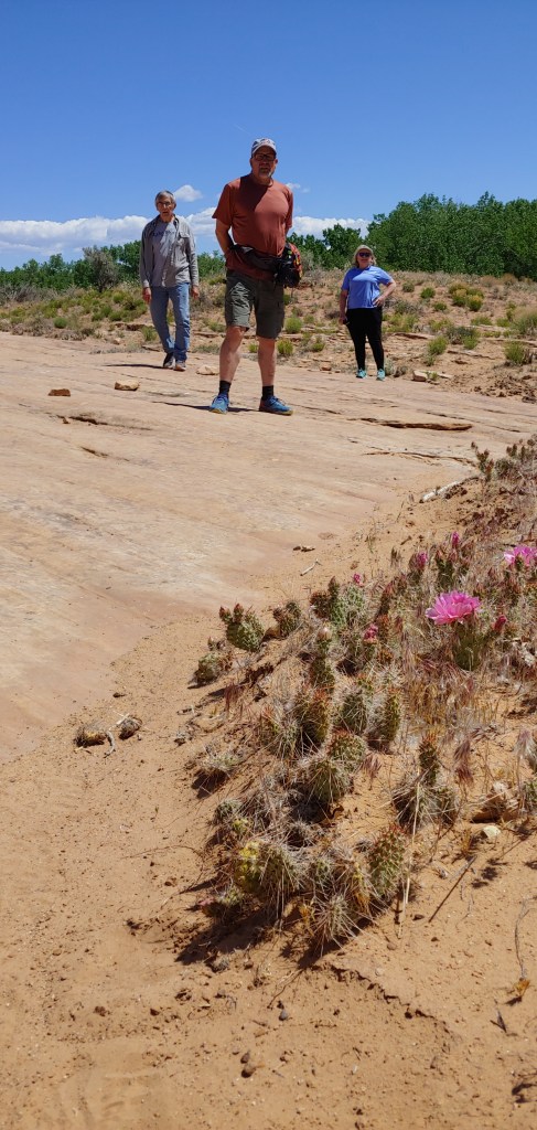
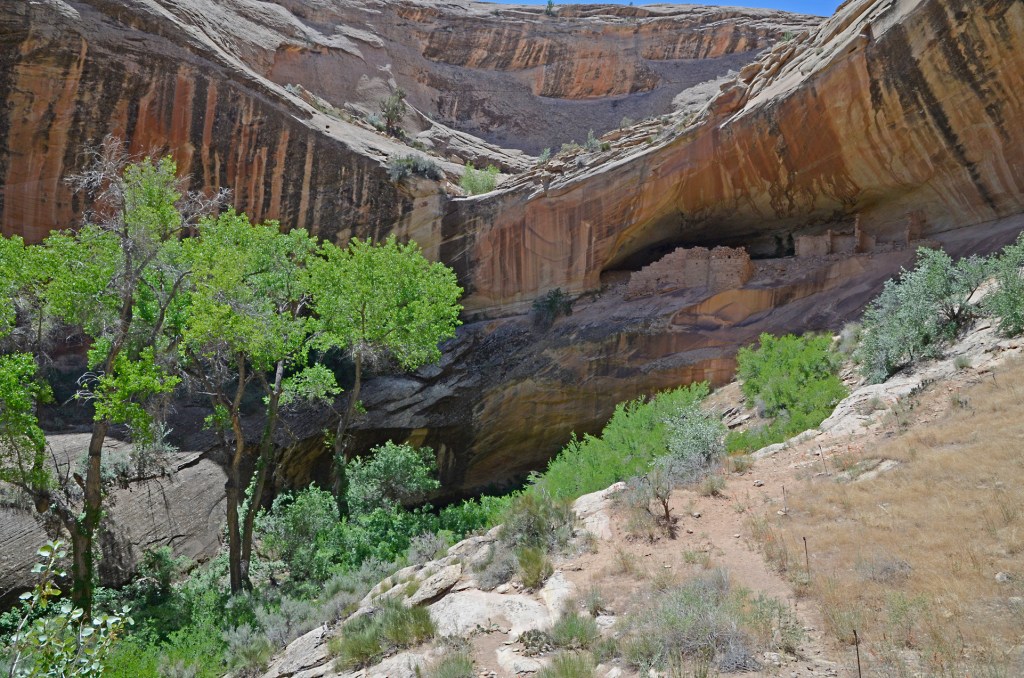
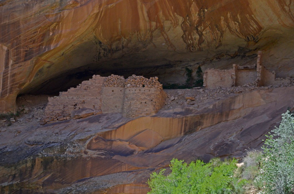
Next on the agenda was to travel up a dirt road that we had never been on to see if we could find any of the ruins or panels in the Butler Wash area. When Jenifer and I were power shopping at the Fort Bluff gift shop, Joel was getting the intel on which site was most easily accessible. We chose the Monarch Cave Ruins.
Supposedly a quick 3/4 mile hike in to the ruins, I think that was one piece information that was wrong! It took much longer to get there than we expected and the terrain was pretty rocky in some areas. We did get a few photos though – pretty impressive!
Monarch Cave RuinsFish Mouth Cave
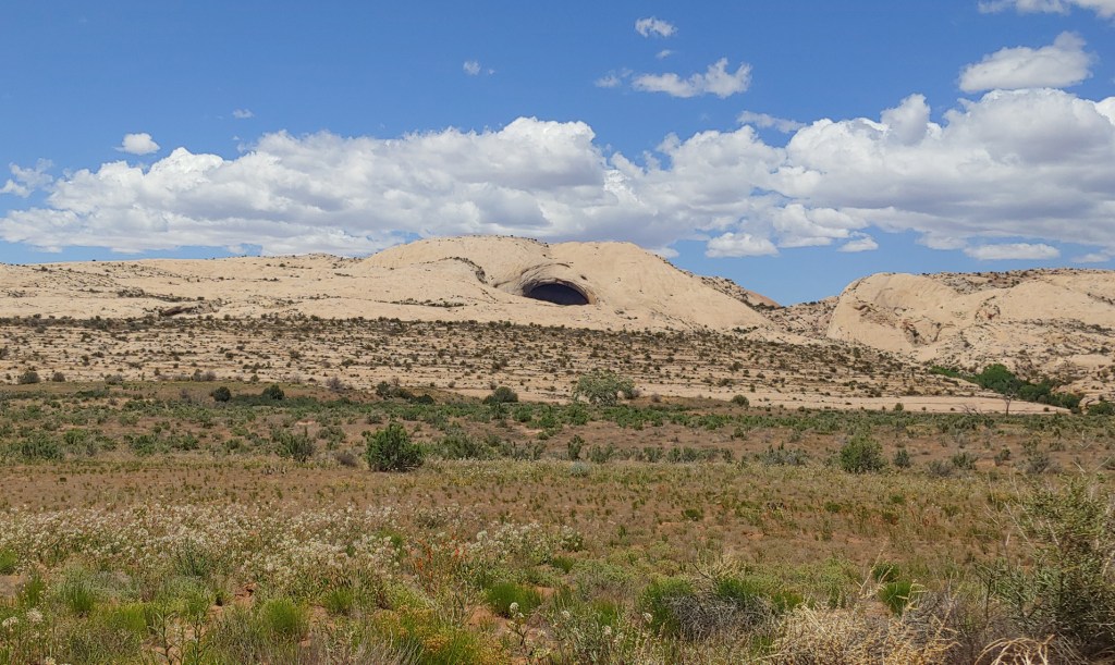
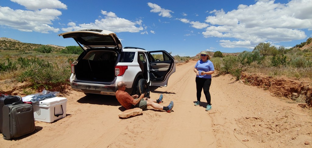
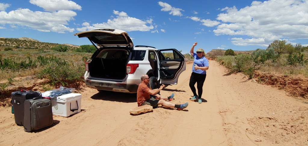
Then, the fun started … we were about 1/2 way through the 24 mile Butler Wash Cutoff road heading north and we got a flat tire. Mind you, this was a brand new 2024 Ford Explorer with 5,000 miles on the tires. UGH! Joel did a bang up job changing into the donut tire and we then proceeded very slowly to Blanding where we found a tire shop. In the end, they determined that the cut in the tire was too large and deep to repair. So now, what to do? As I was calling the rental car company, the tire shop found a set of the exact same brand, make and size of tire that had miraculously been swapped out the day before. So, we bought a used tire, had it installed and off we went. Now, don’t think that I was trying to outsmart the rental company – I told them exactly what we had to do and they said, “No Problem, we will reimburse you as long as it is not over $200.” Honestly, I don’t think they cared. When I turned the car in I told them the same thing and the only thing the guy asked me was, “Did you fill it up with gas?
As it was getting late, we had to scrap the plans to see Moki Dugway and The Valley of the Gods and headed to Mexican Hat and to our motel, the San Juan Inn. Hopefully after a nice meal we would be able to get some well-needed rest.
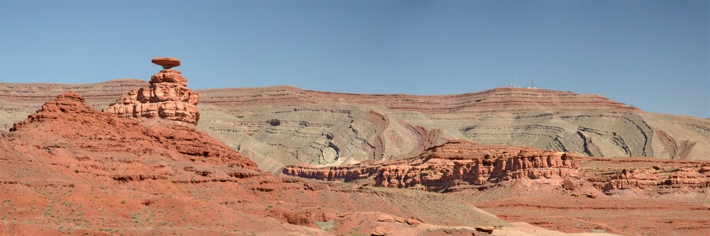
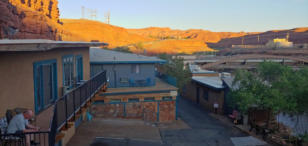
Mexican Hat RockSunset on the San Juan River at our Hotel (with some random guy Joel forgot to crop out!)