San Rafael Swell/Wedge Overlook

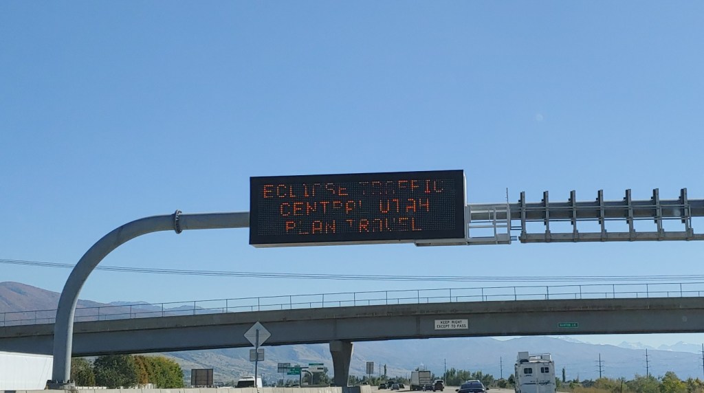
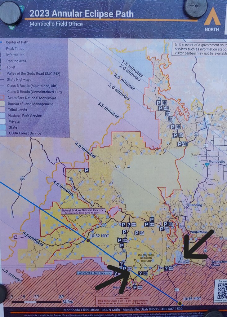
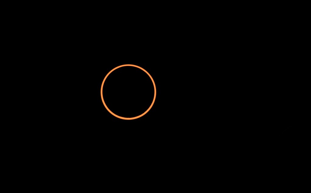
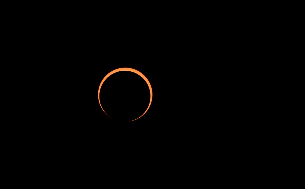
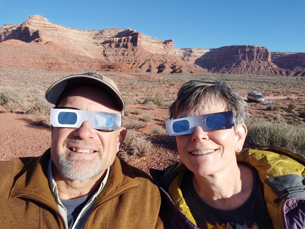
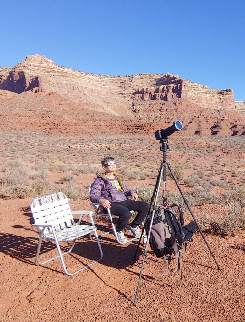
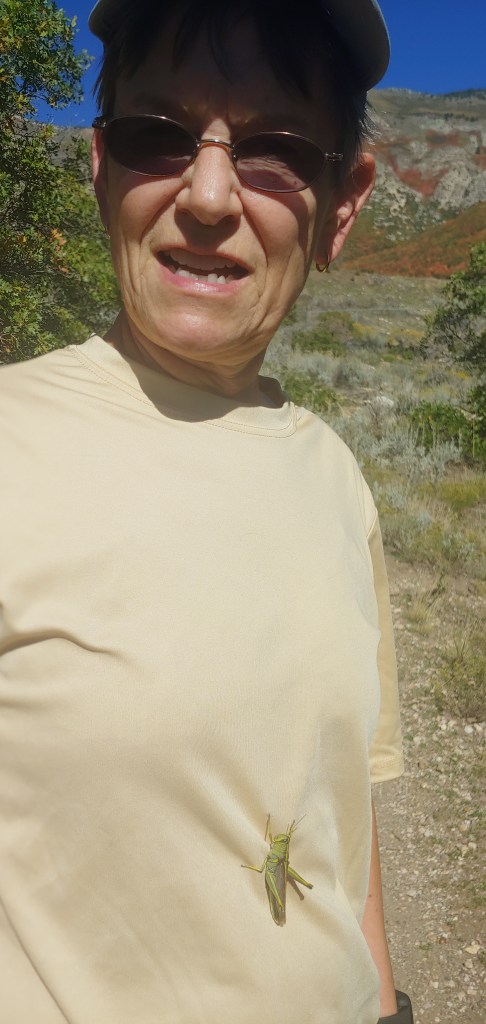
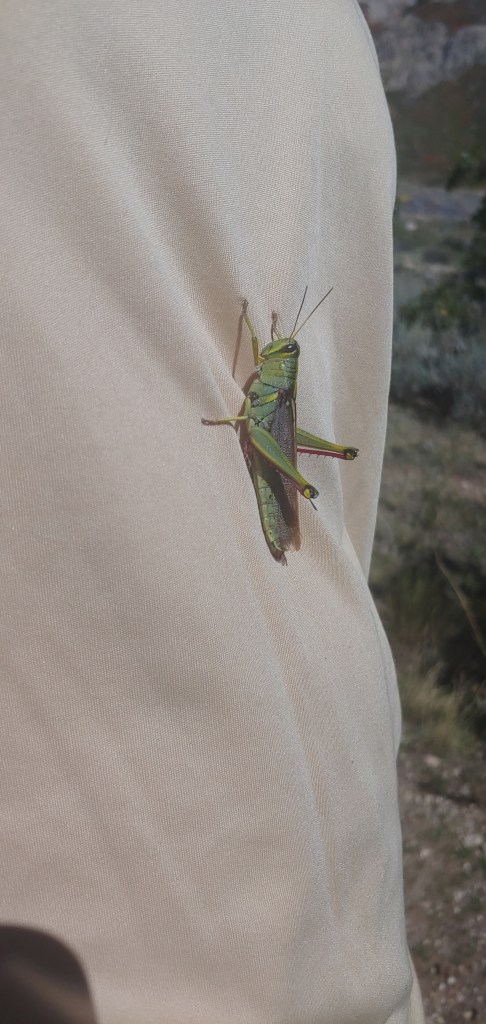
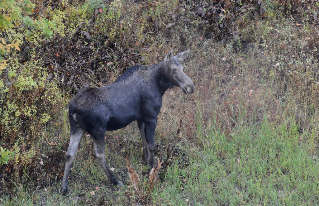
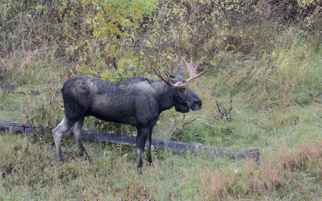
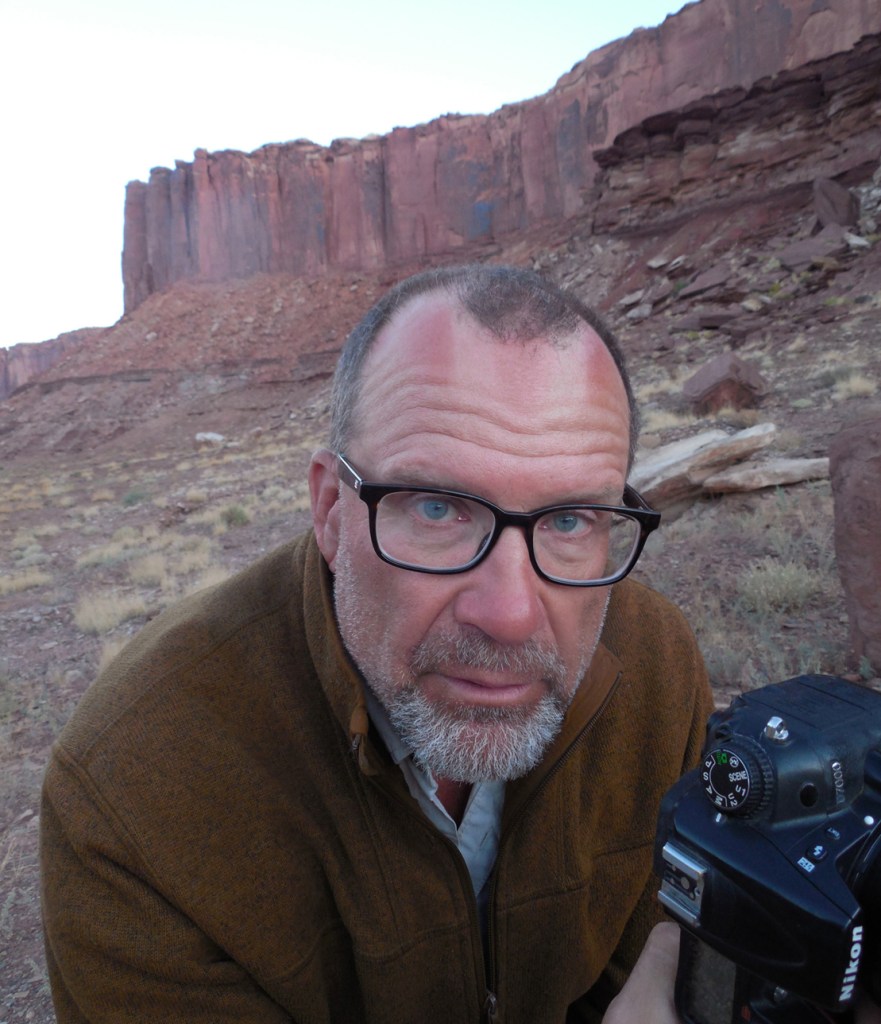
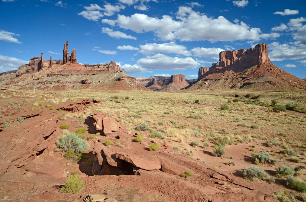
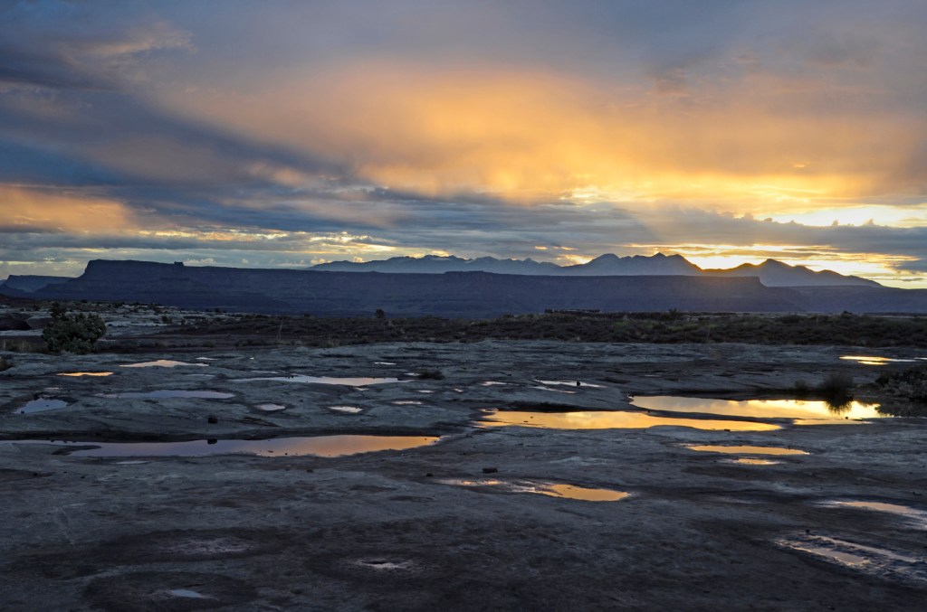
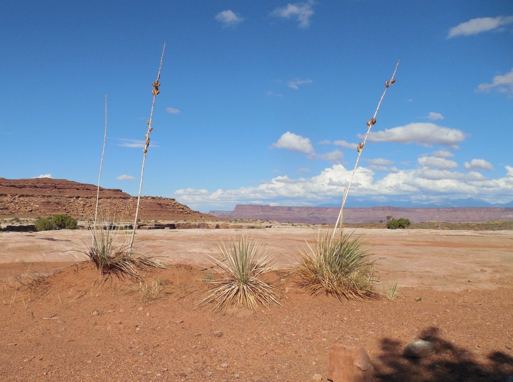
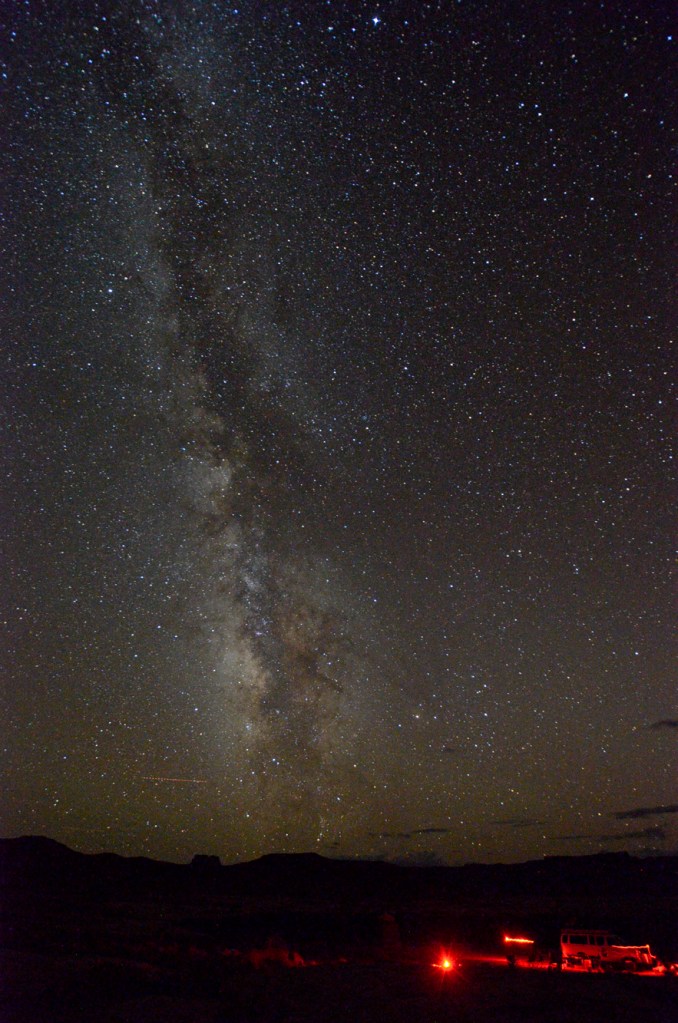
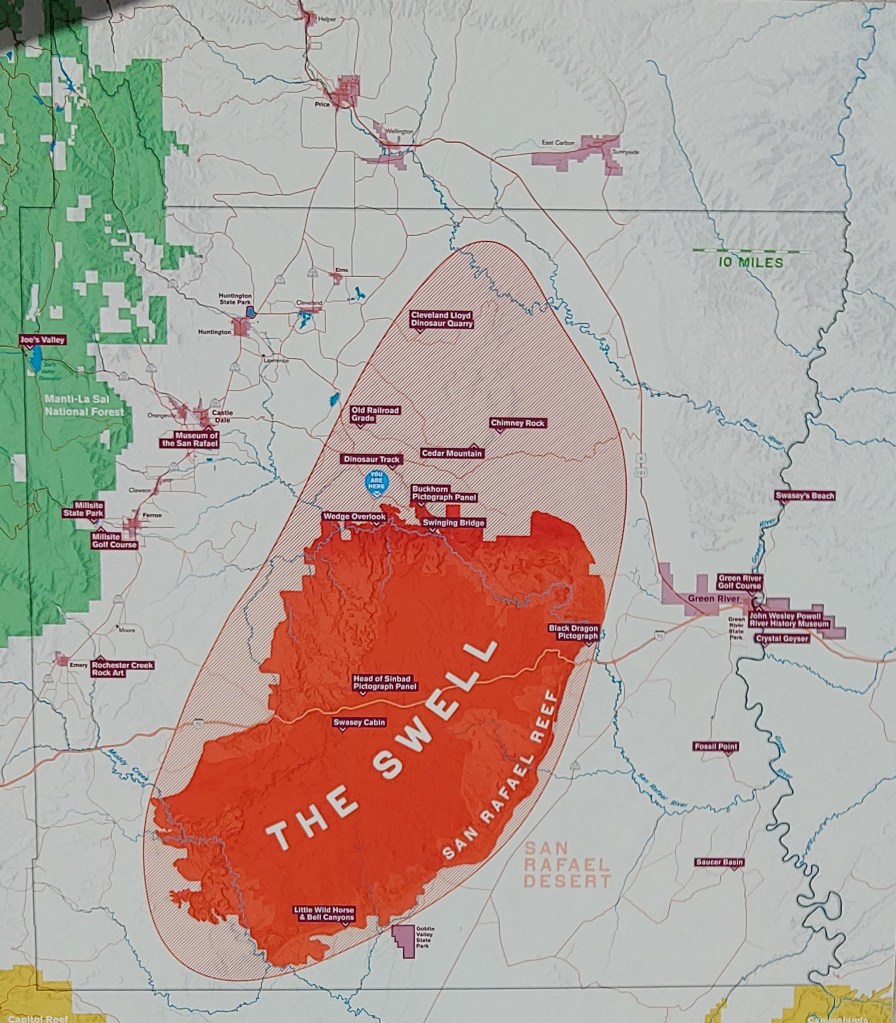
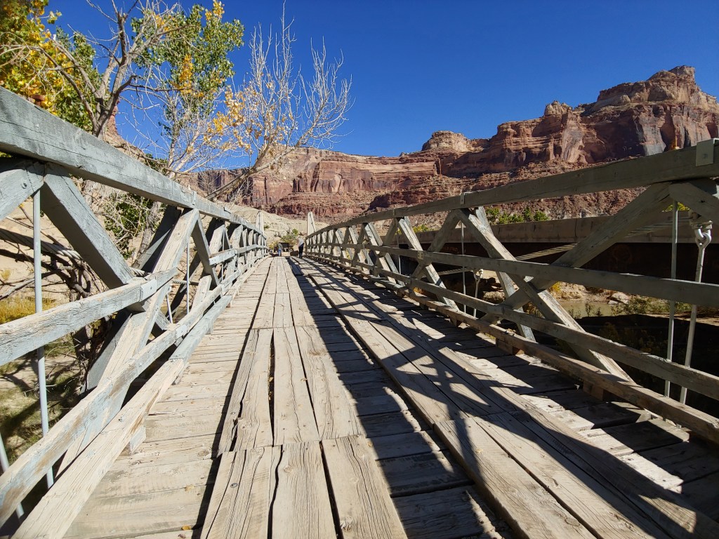
When asked if we wanted to join our friends Claudia and Ralph on a family camping trip to the San Rafael Swell, it was an easy “Yes!” Although we had just been in Southern Utah for the “Ring of Fire” events, we were excited to head back down for a few more days. The “Swell” as it is referred to is an area of approximately 2,800 square miles in Emery County. Not as popular as the surrounding national parks, it is an area that we had never explored.

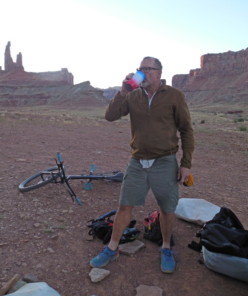
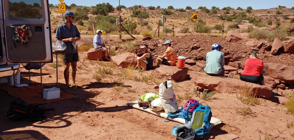
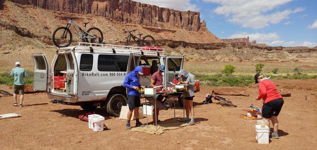
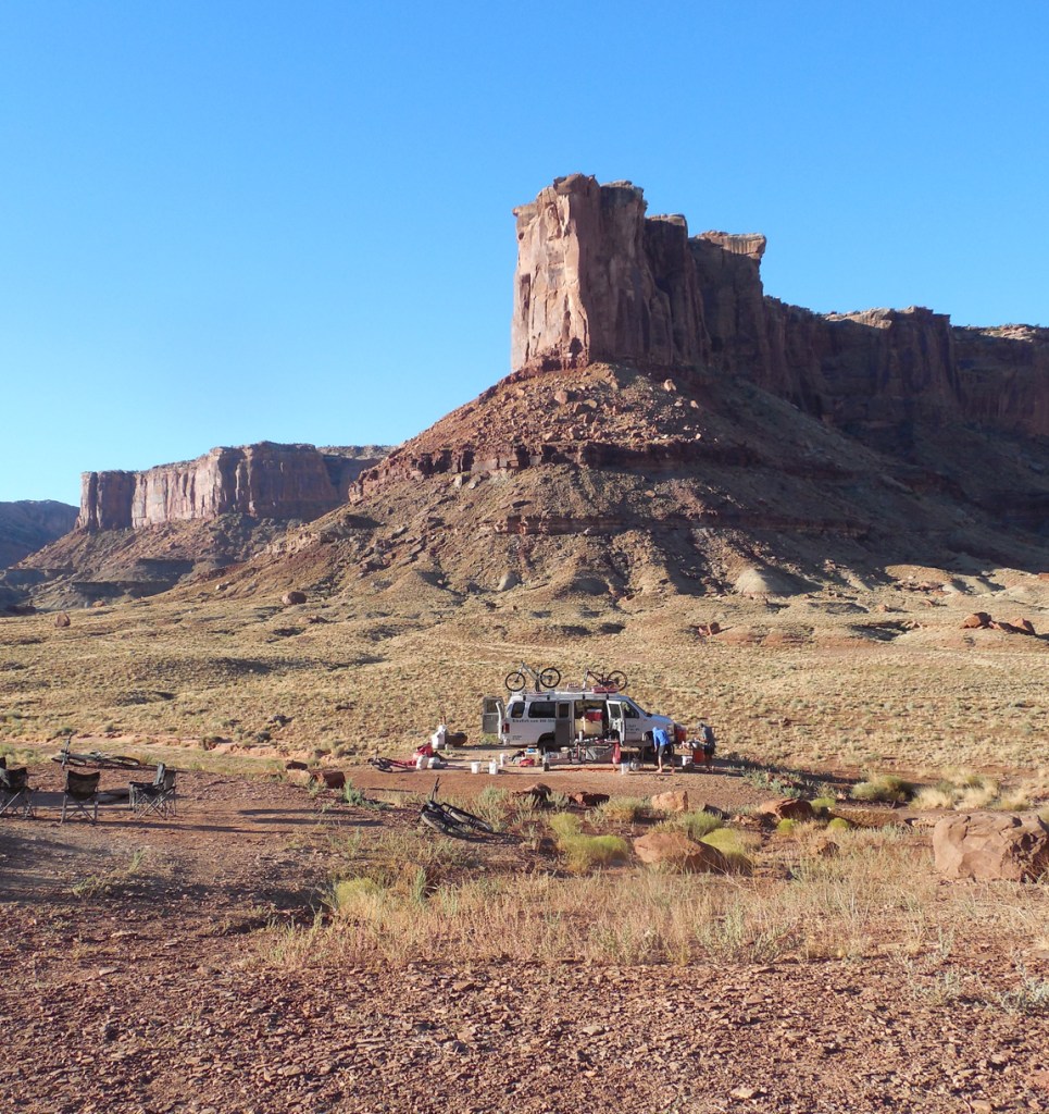
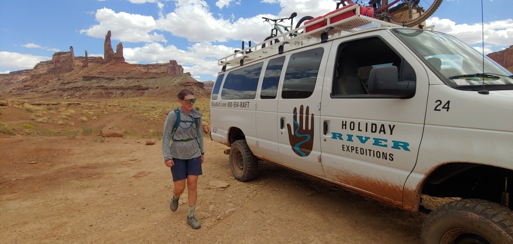
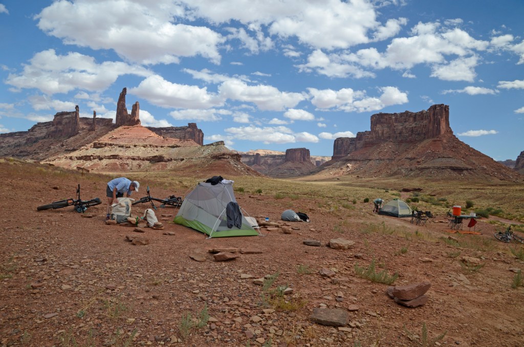
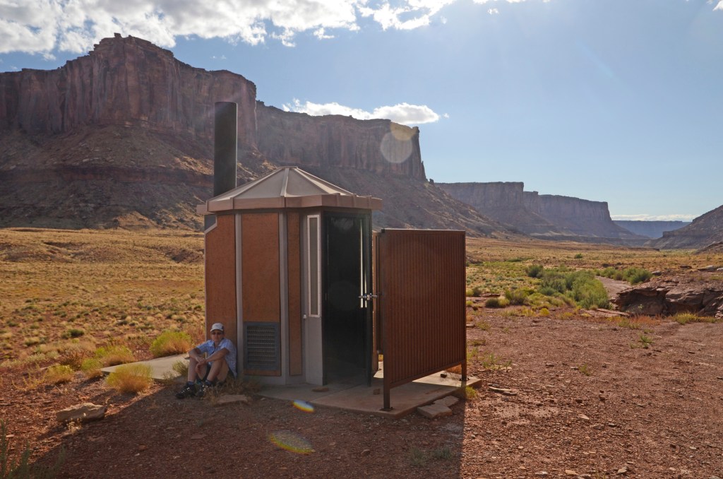
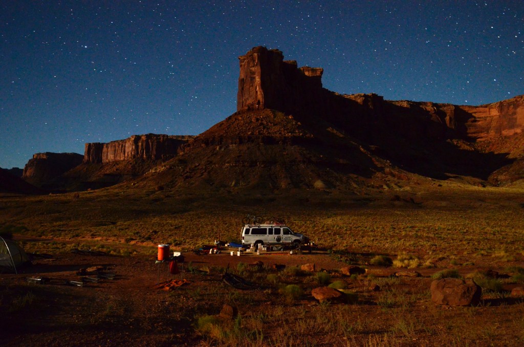
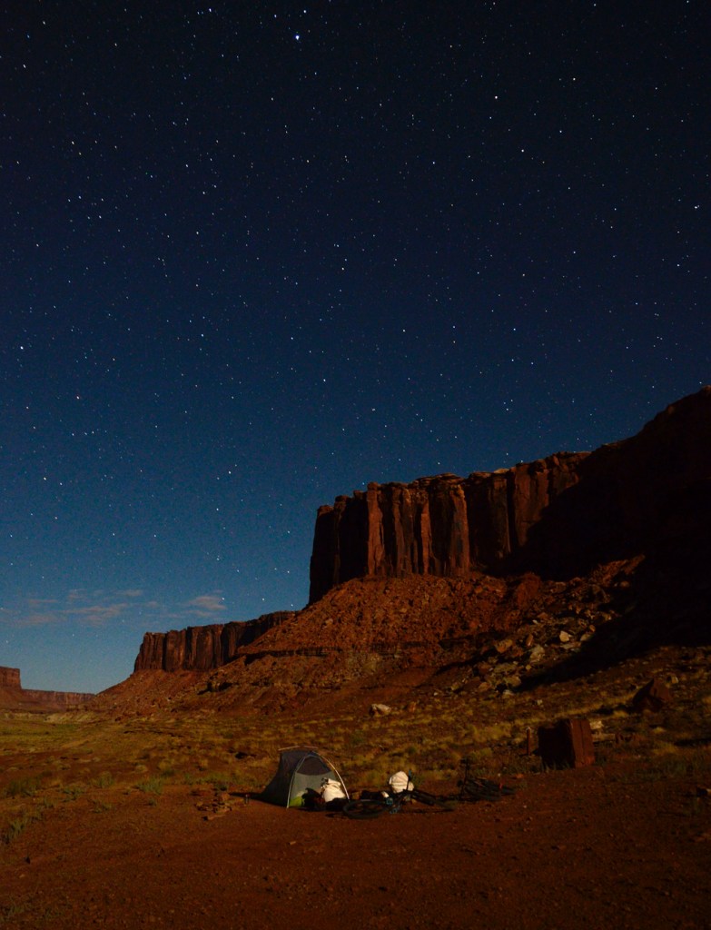
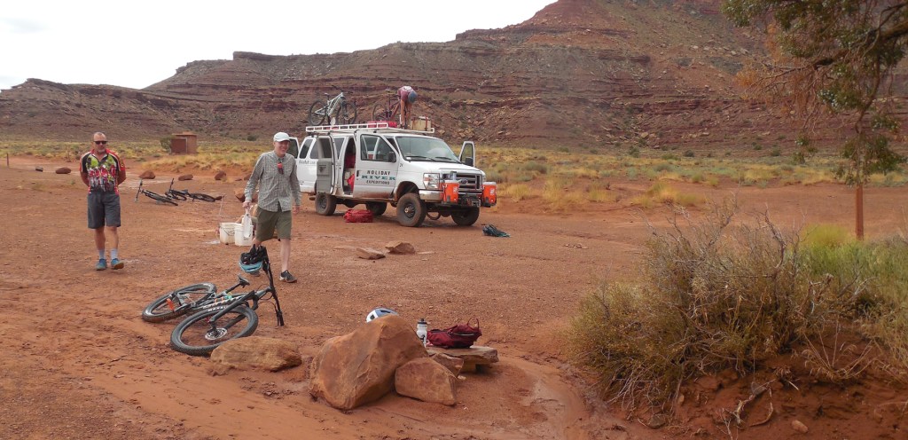
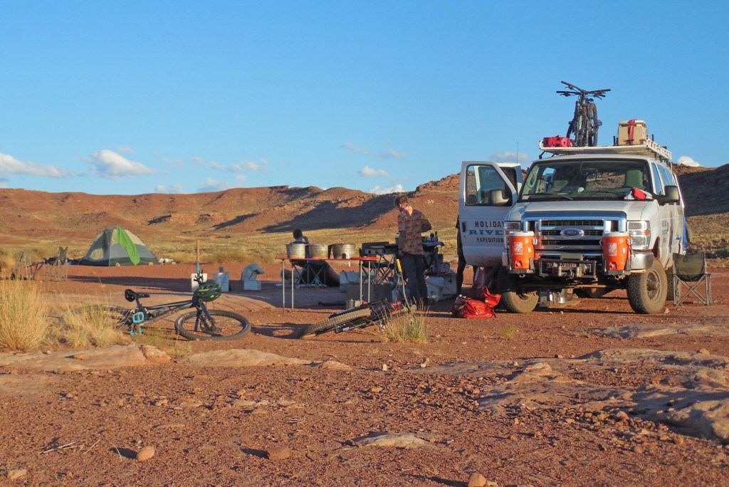
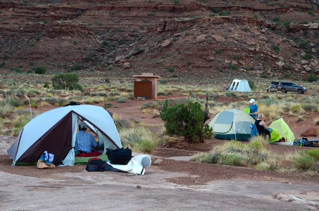
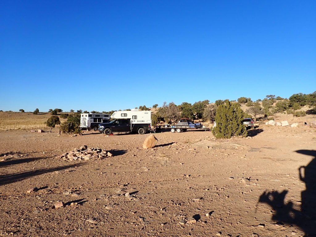
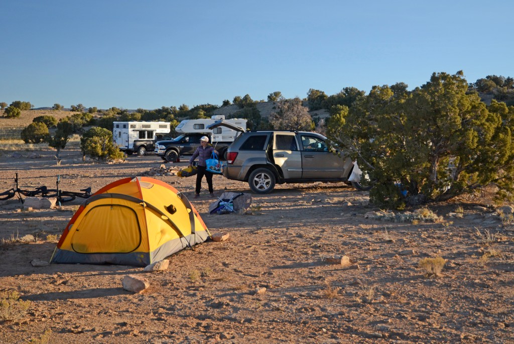
After a quick 1-day turnaround to wash clothes, say “Hello” to the cats, repack, and grab our mountain bikes, we were on our way. A relatively short 3 1/2 hour drive and we were there. Claudia and Ralph had gone down to grab a camping spot the day before – unreserveable and huge, they were sure to fill up as this turned out to be Fall Break for several of the school districts.

Campsite #3 was huge – probably large enough for 30 people! The rest of Claudia and Ralph’s family came in a day later, bringing our group up to 10 plus their 2 four-legged friends.
Puppy Astra seemed to enjoy her first big camping trip.
The veteran camper Hanna seemed more interested in hanging around the camp than Astra.

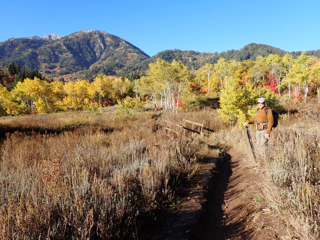
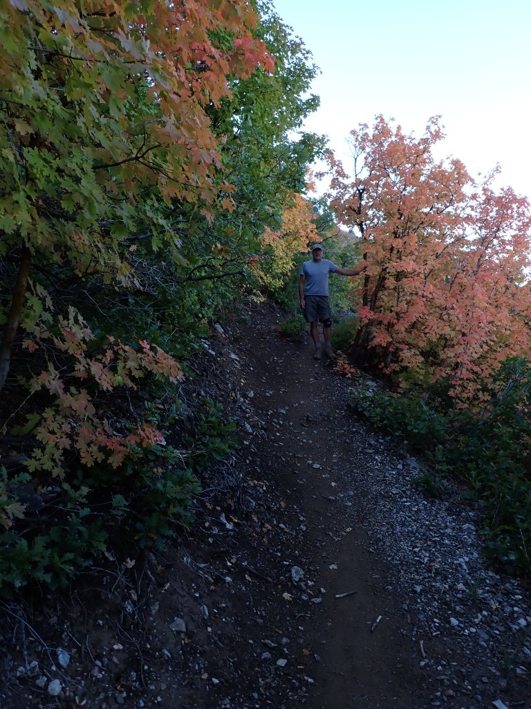
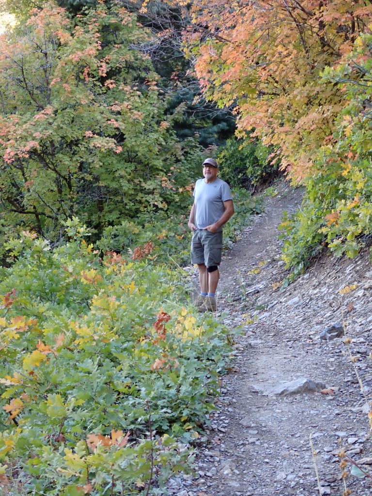
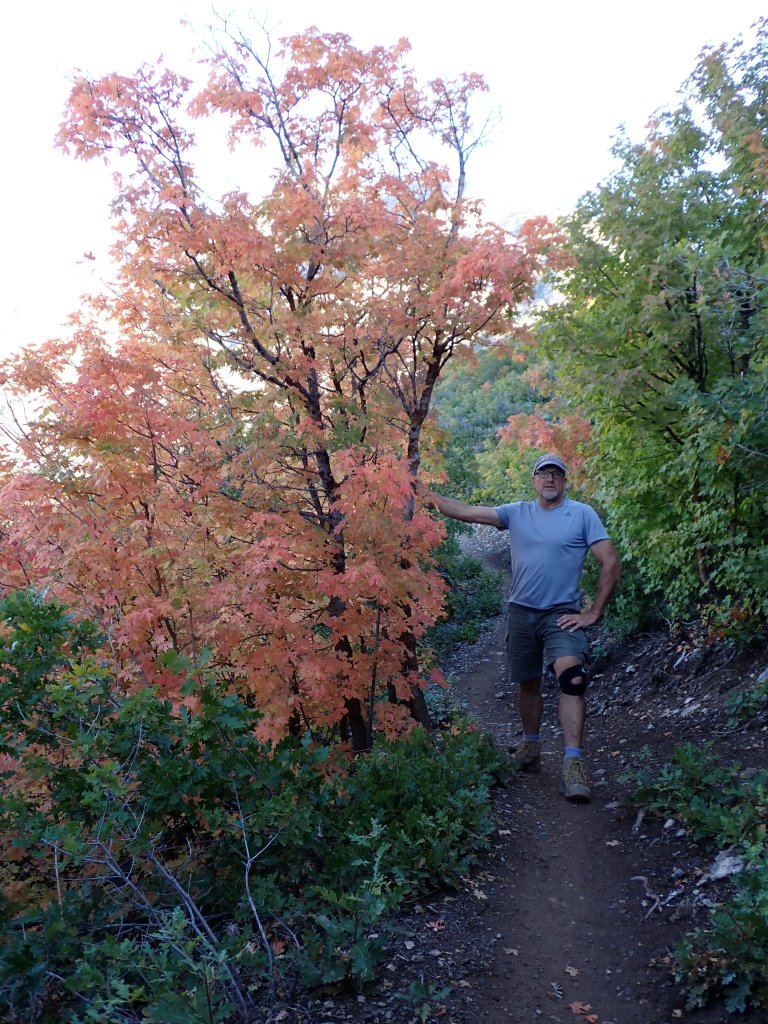
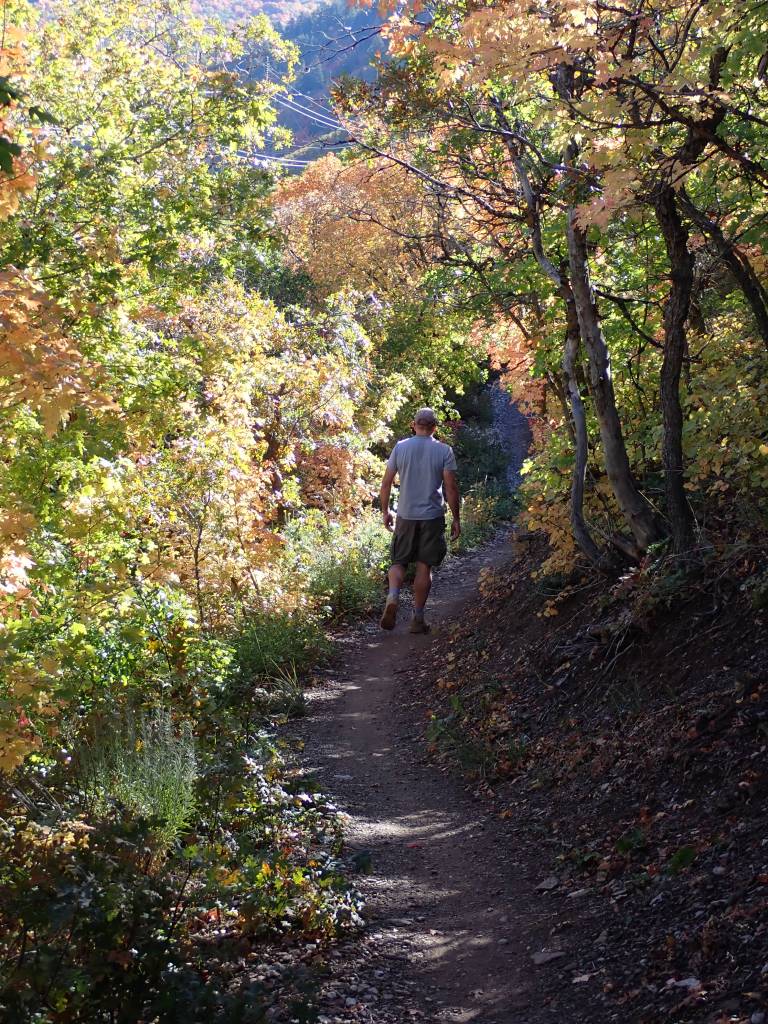
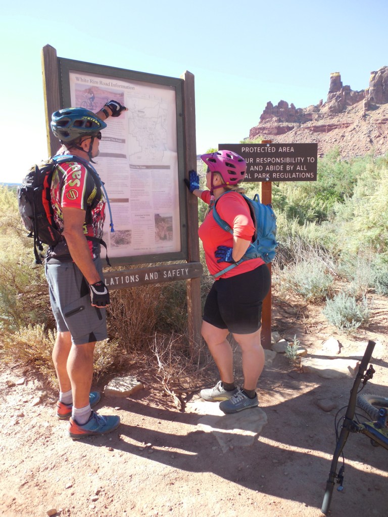
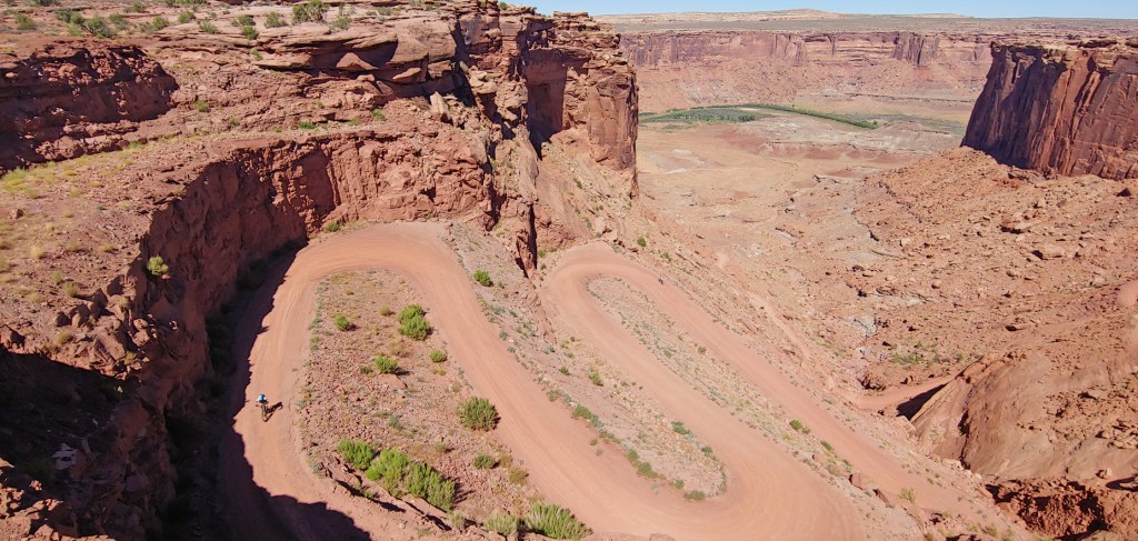
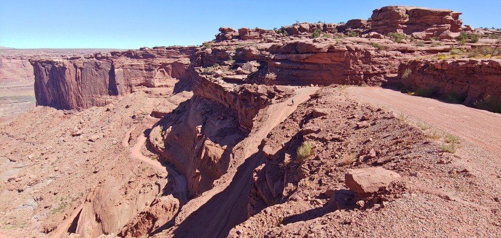
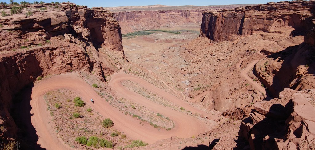
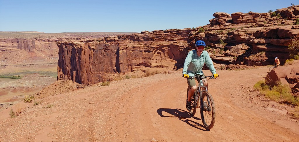
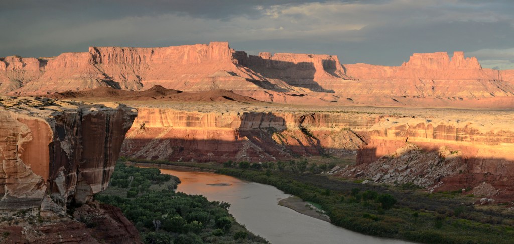
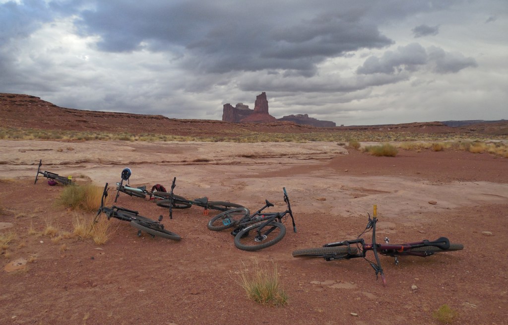
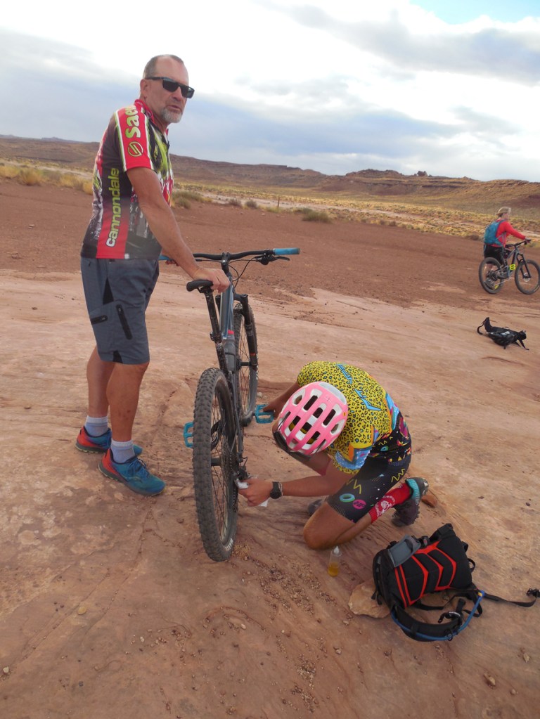
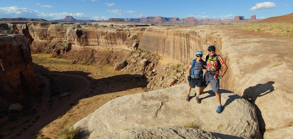
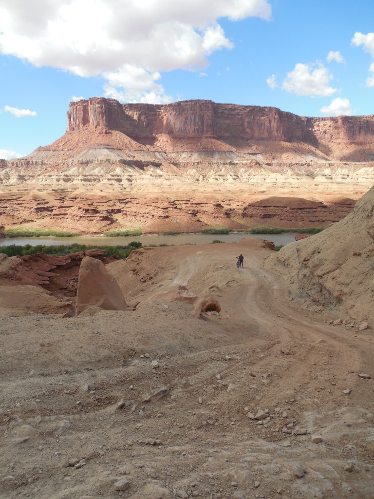
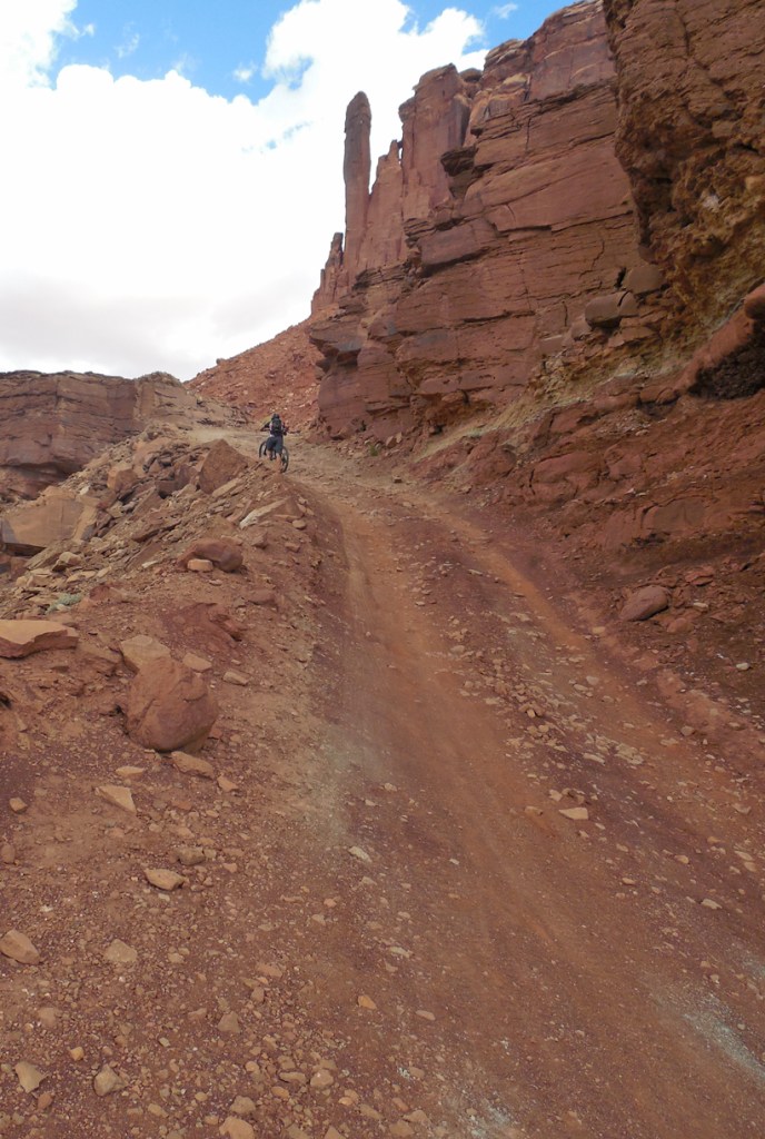
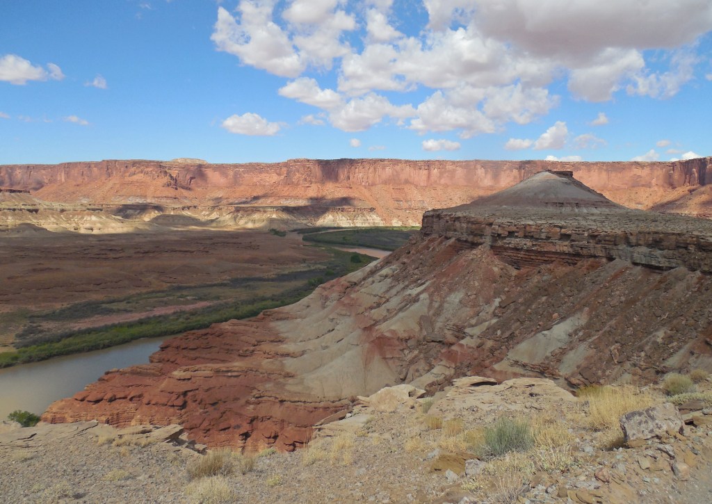
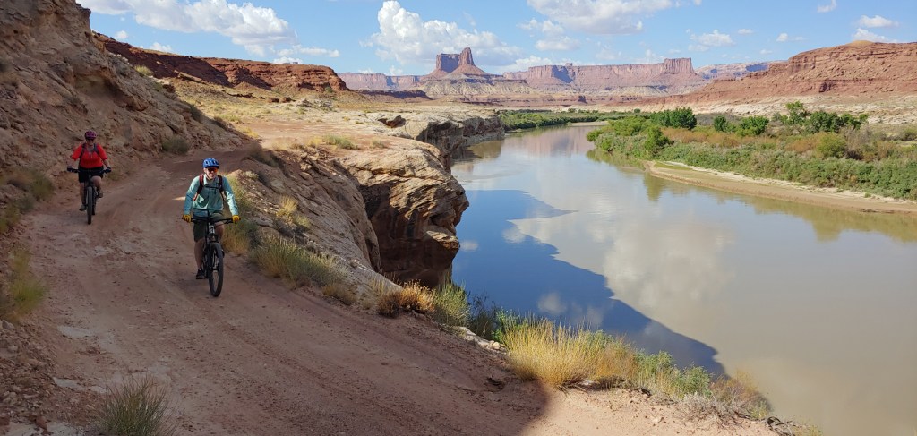
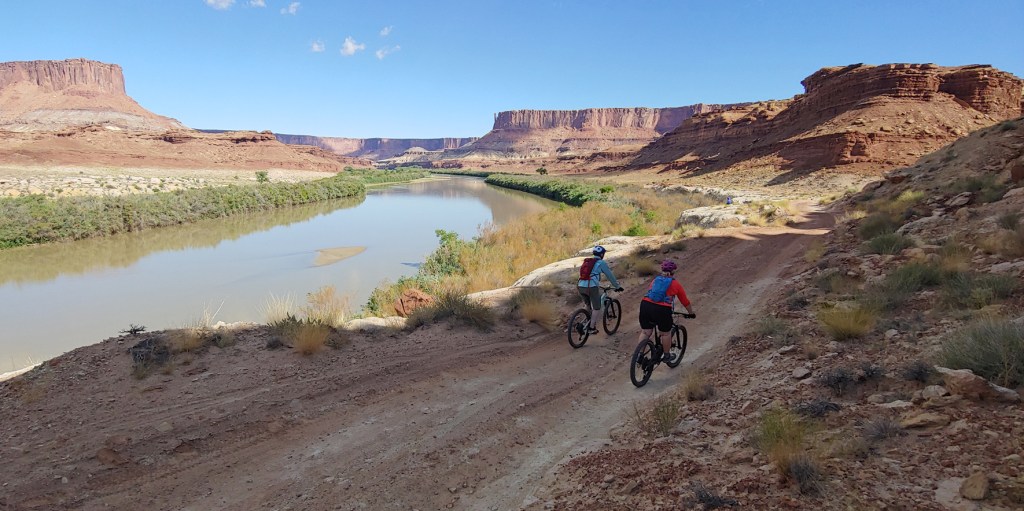
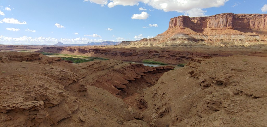
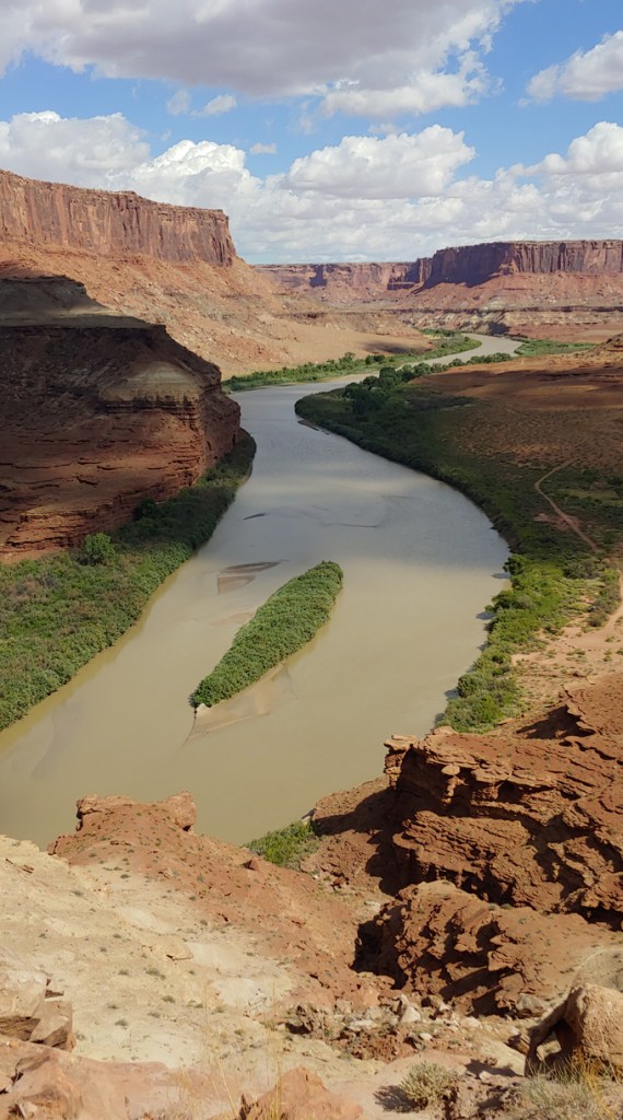
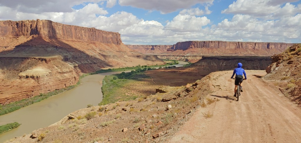
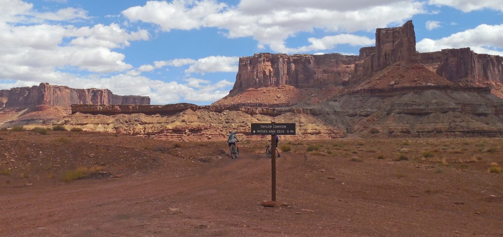
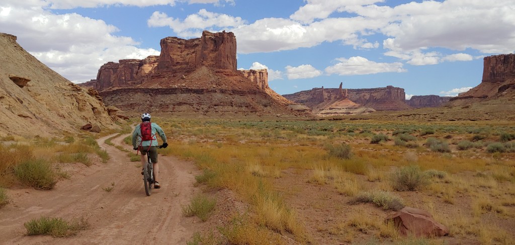
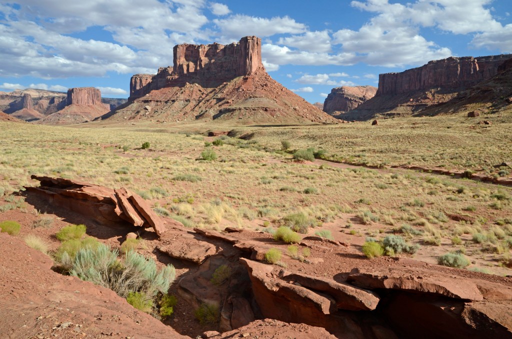
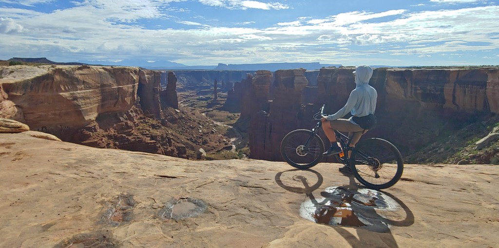
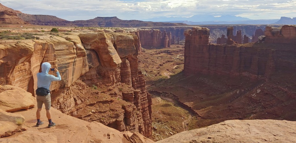
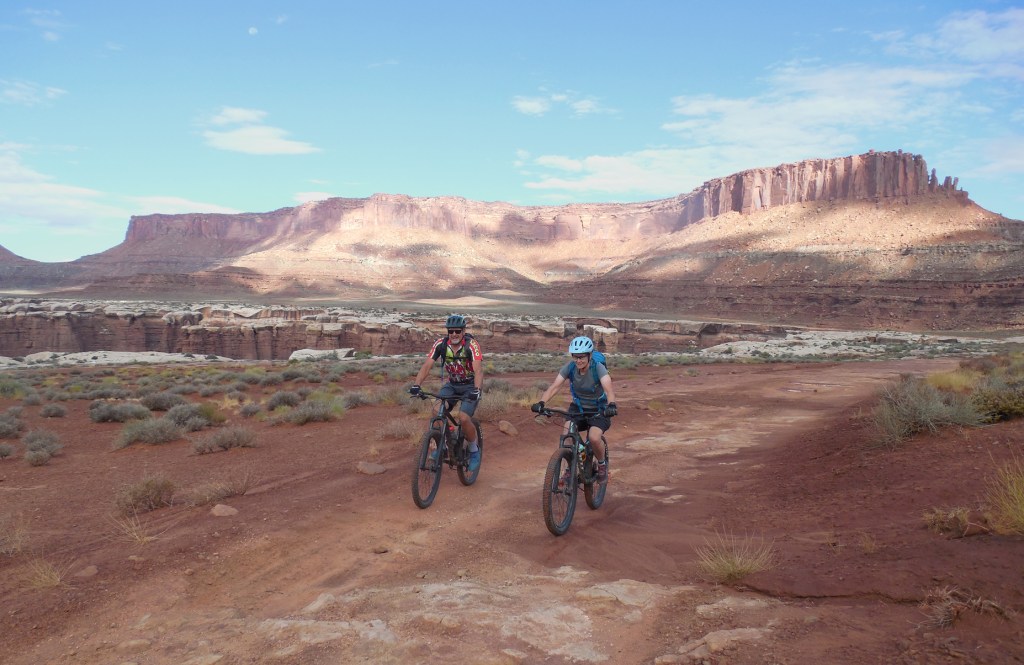
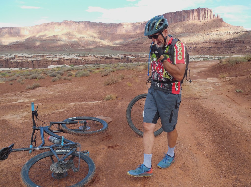
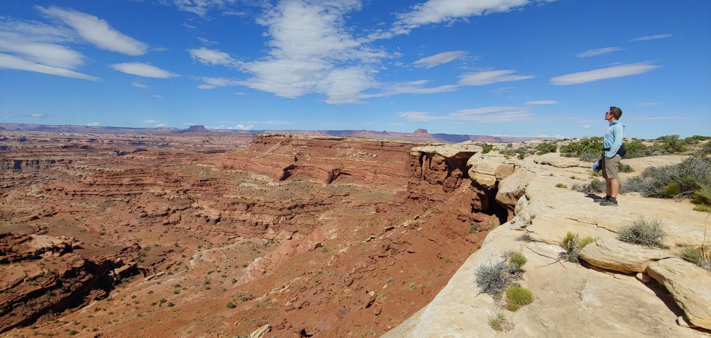
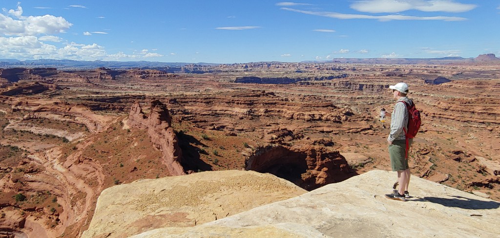
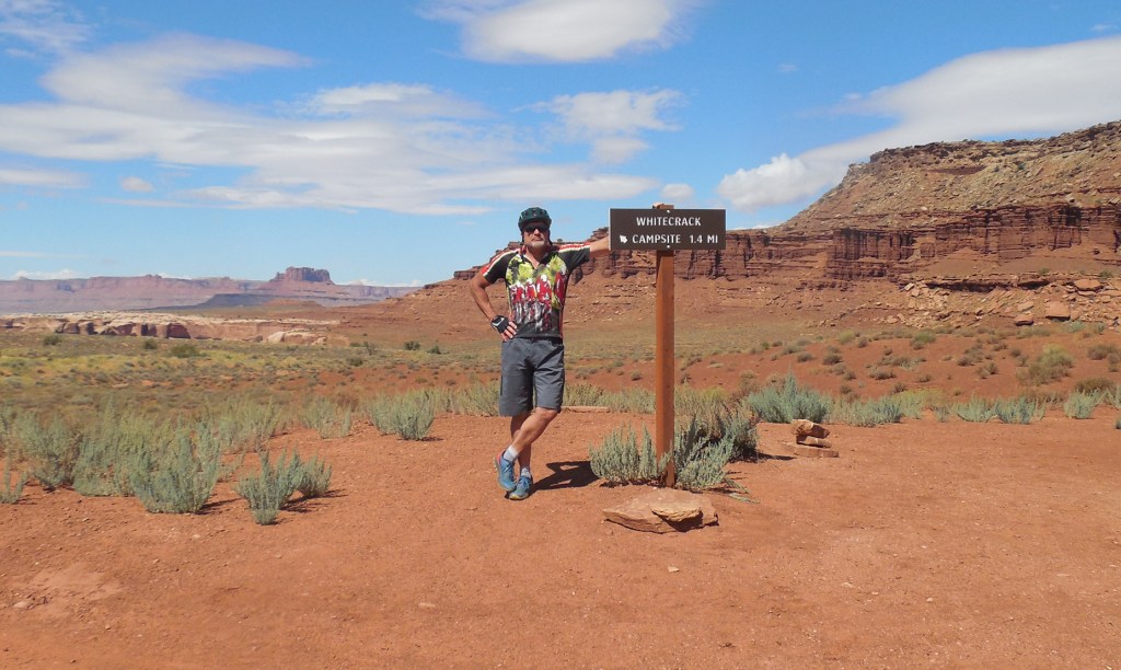
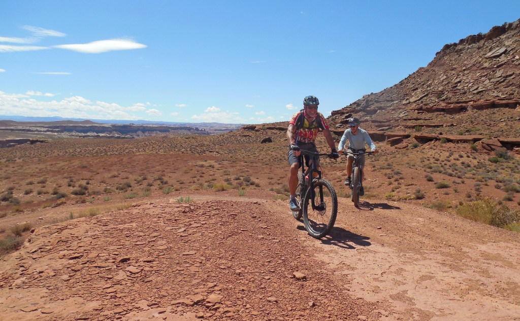
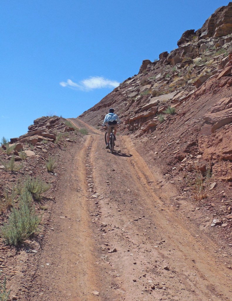
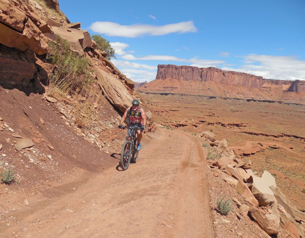
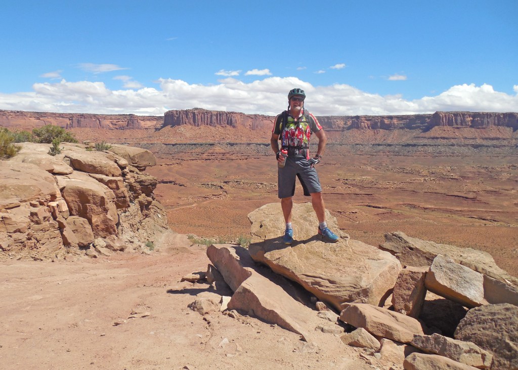
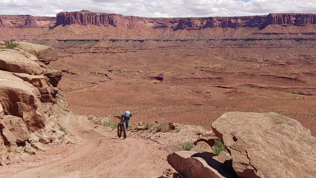
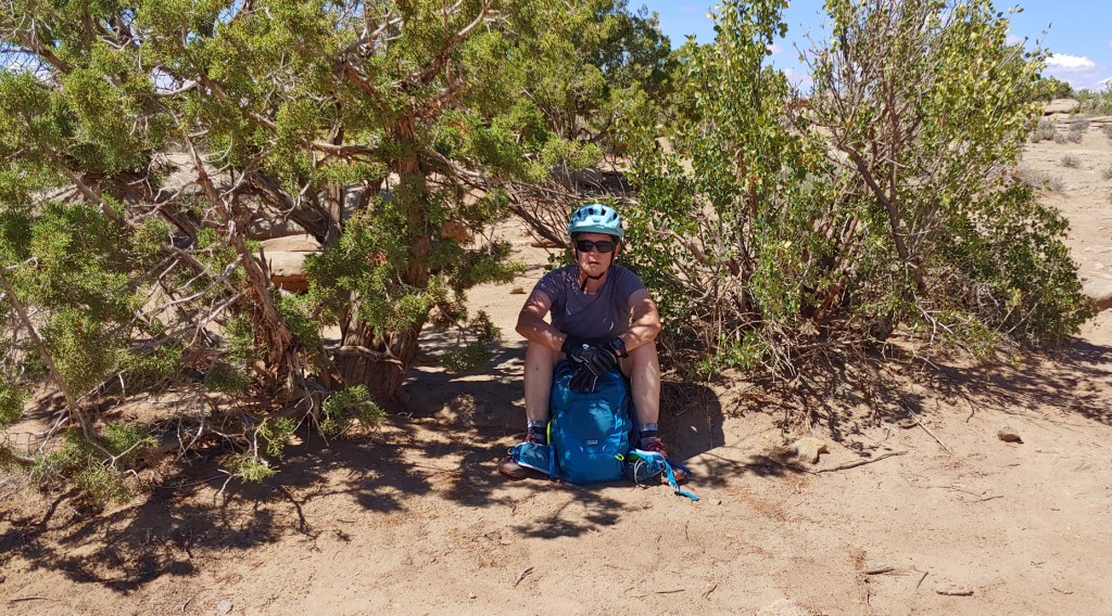
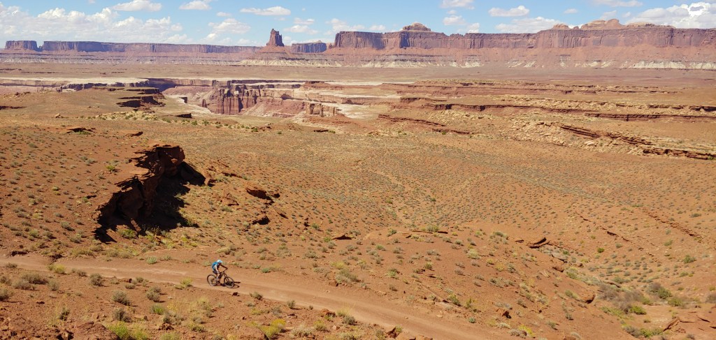
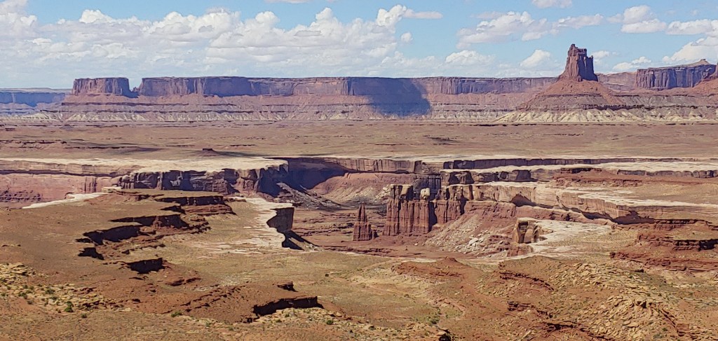
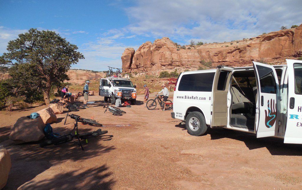
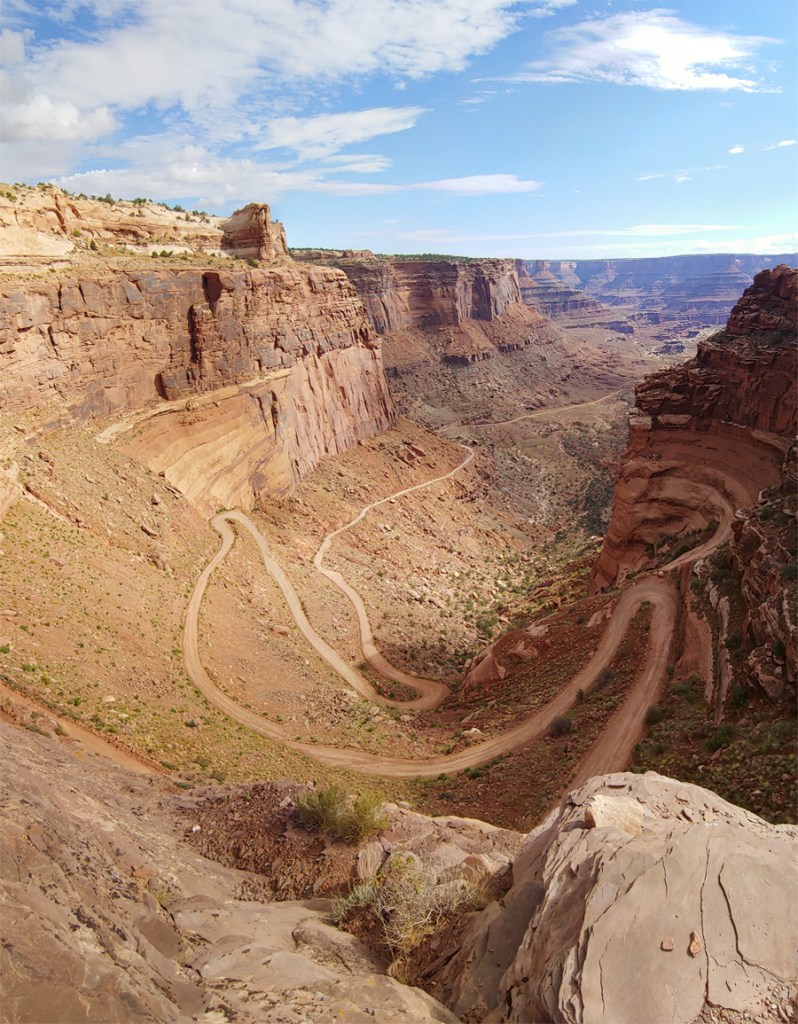
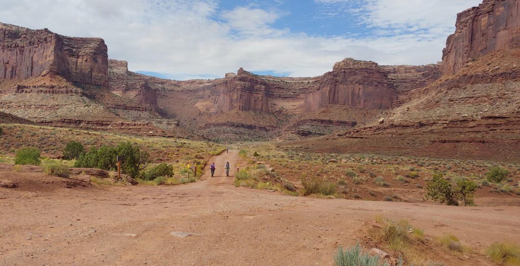
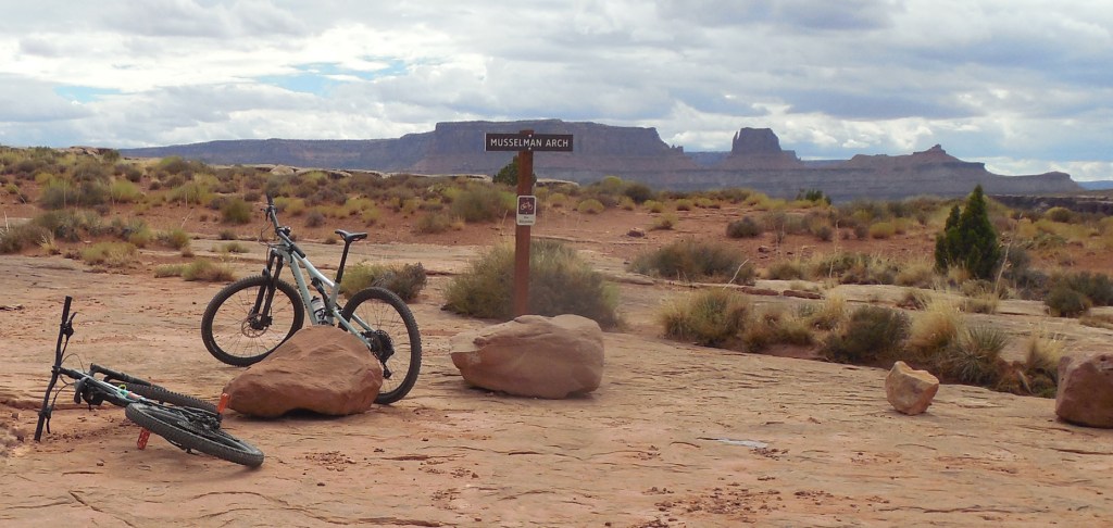
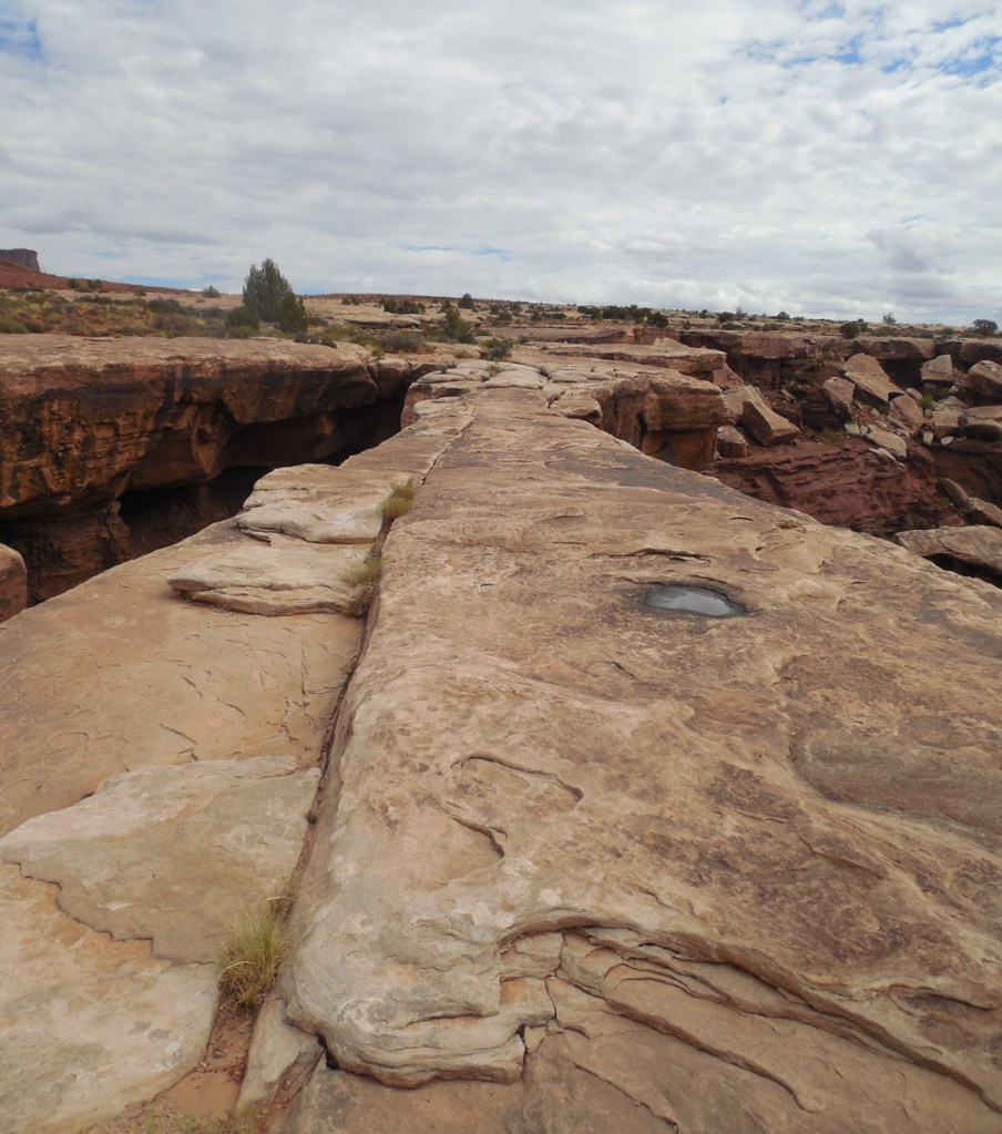
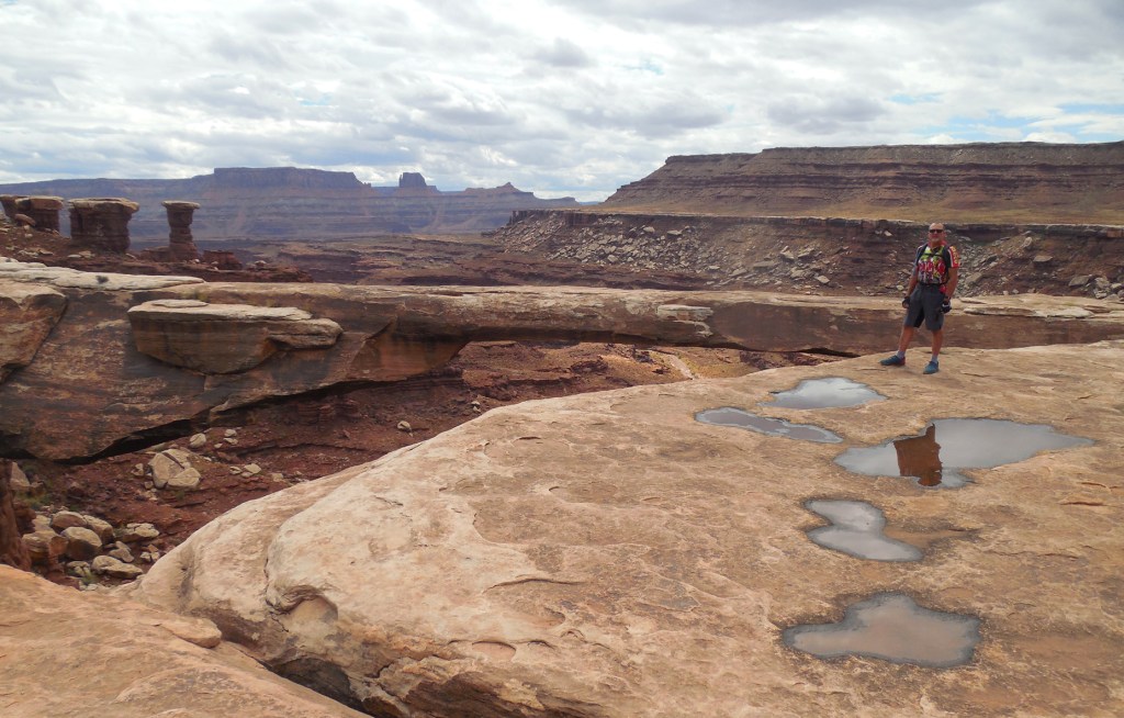
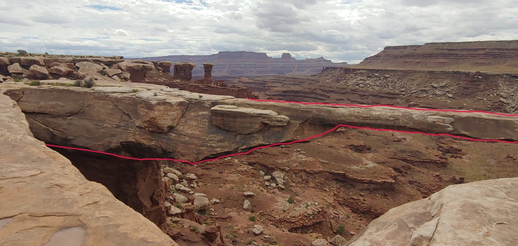
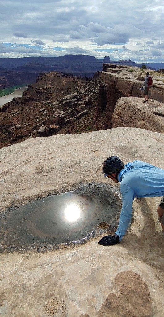
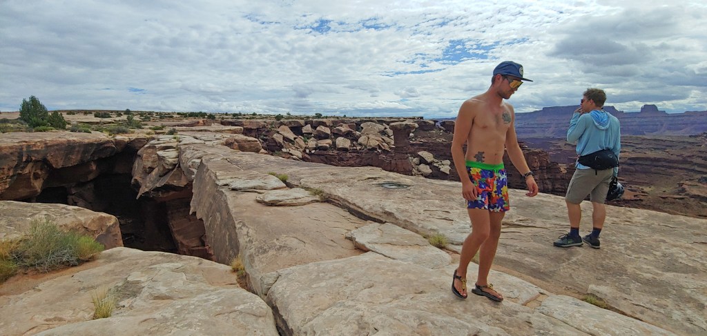
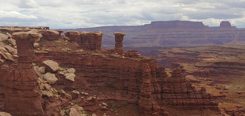
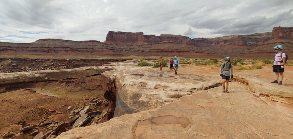
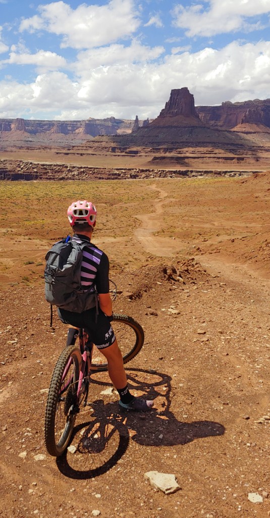
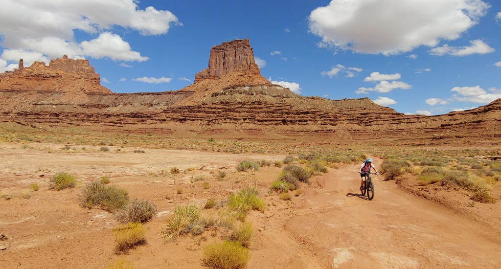
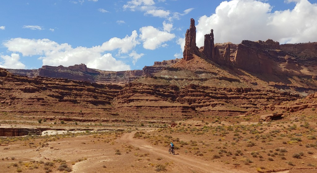
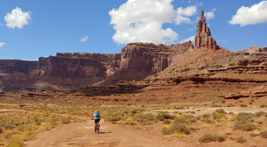
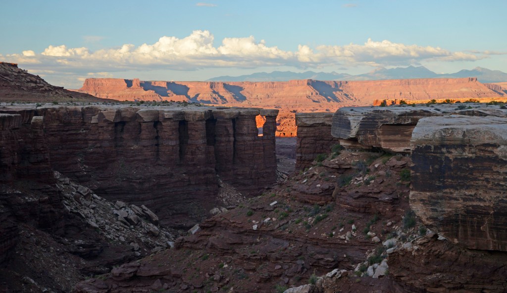
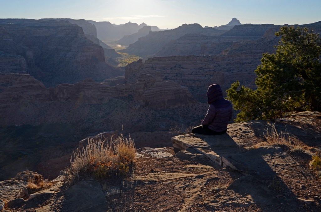
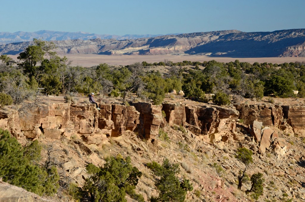
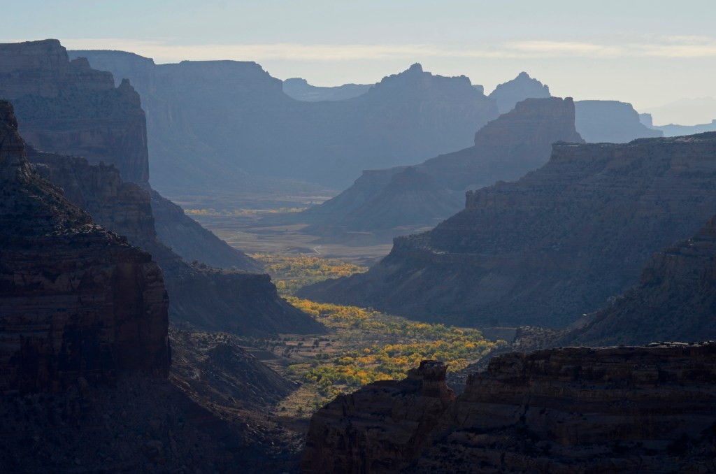
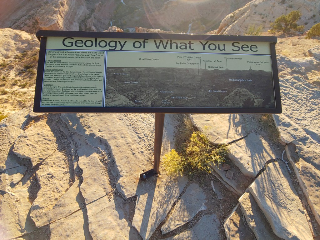
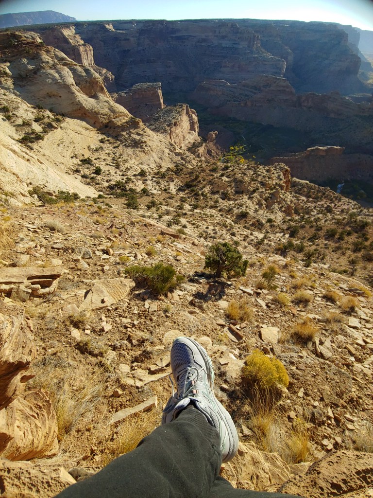
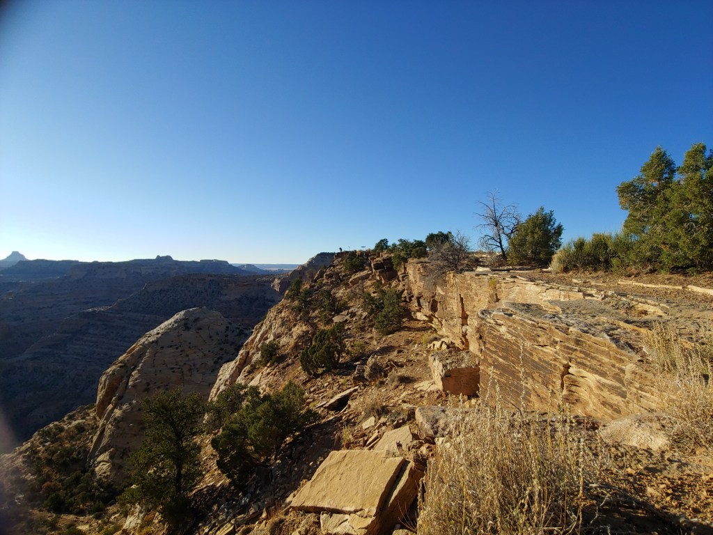
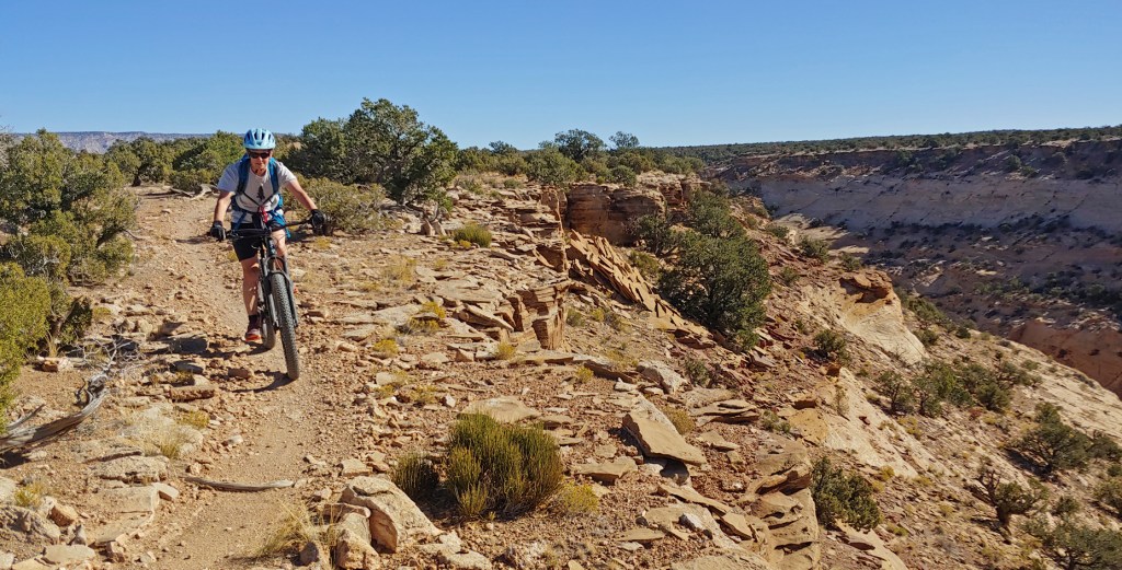
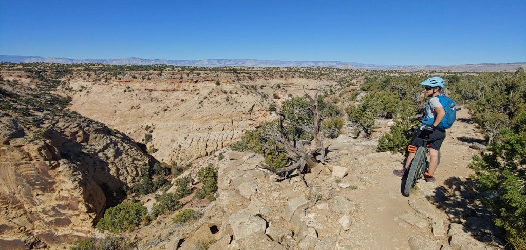
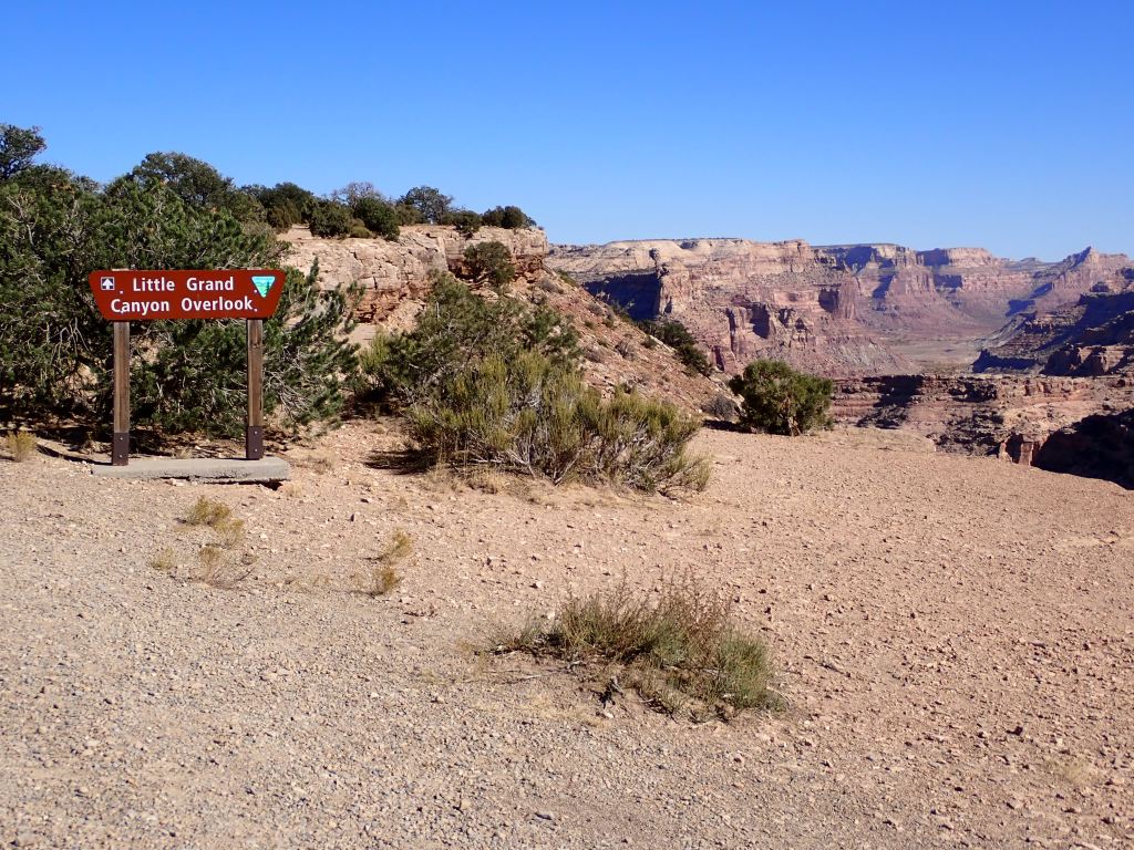
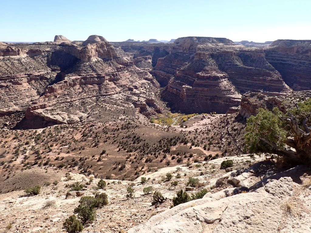
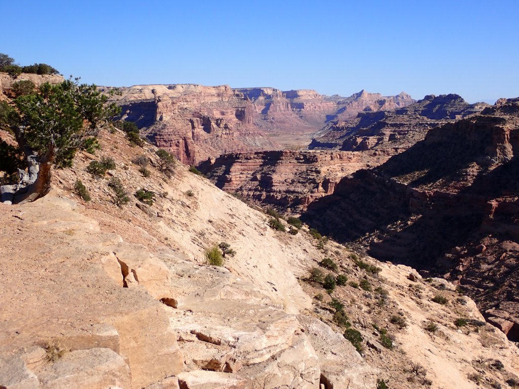
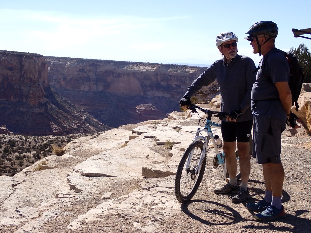
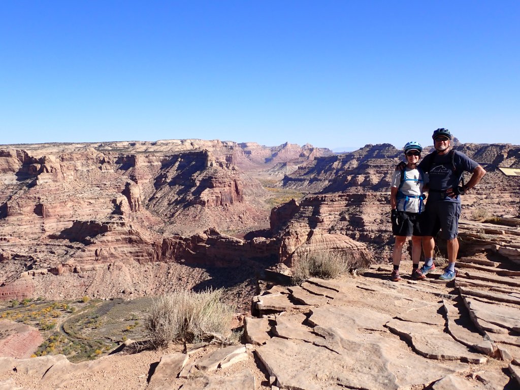
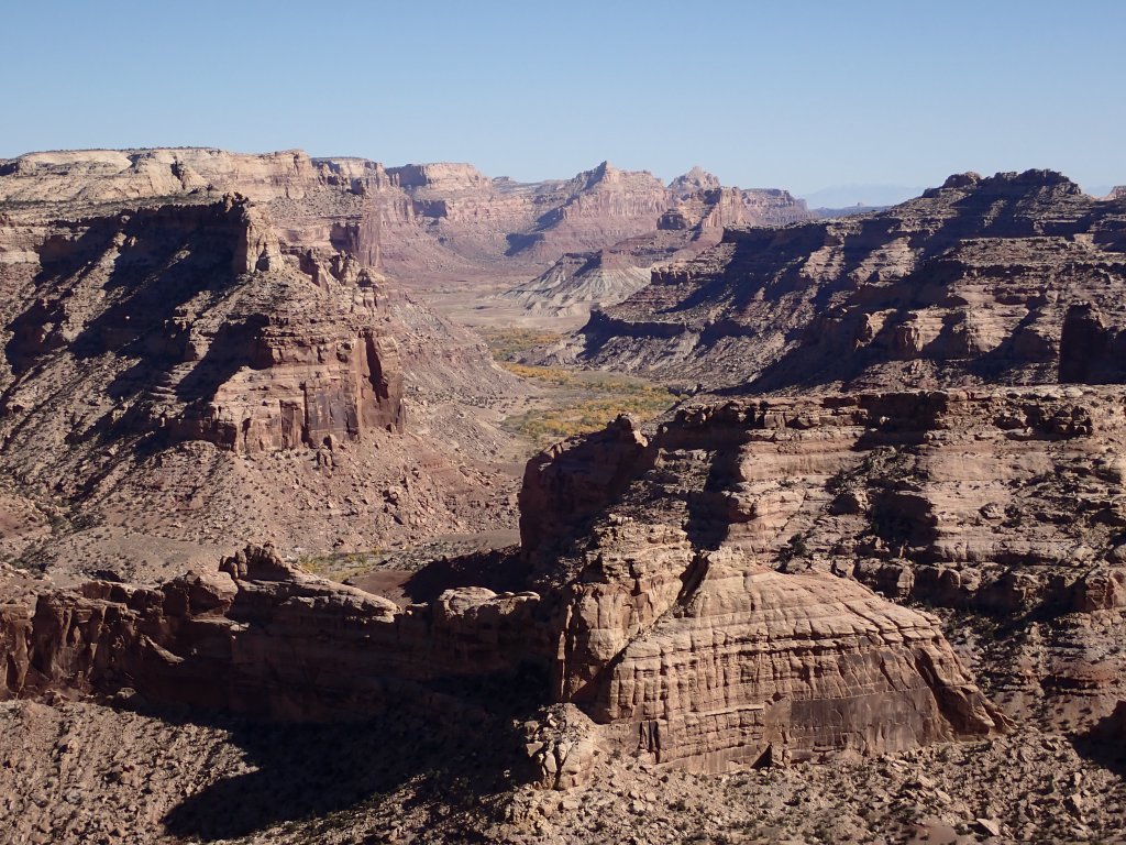
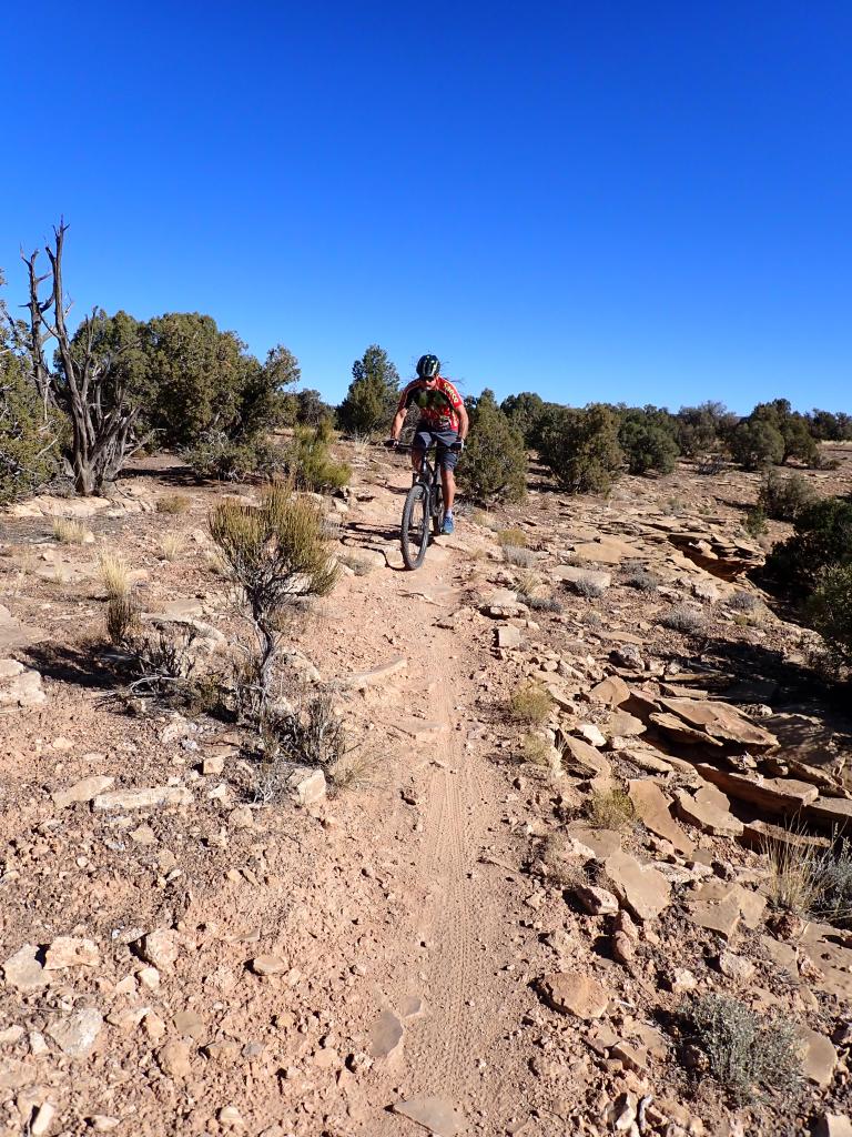
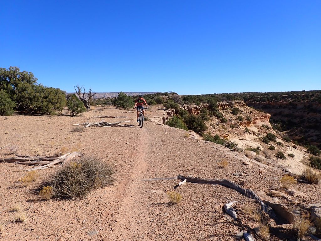
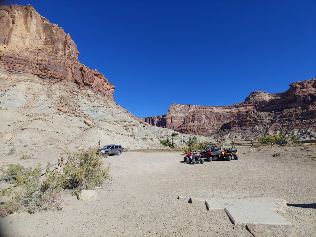
Several great biking forays were on the Good Water Rim Trail which is a 15 mile well-maintained intermediate level mountain bike trail running along the rim of the “Wedge,” also referred to as the Little Grand Canyon.

Joel on the very edge of the point taking photos.

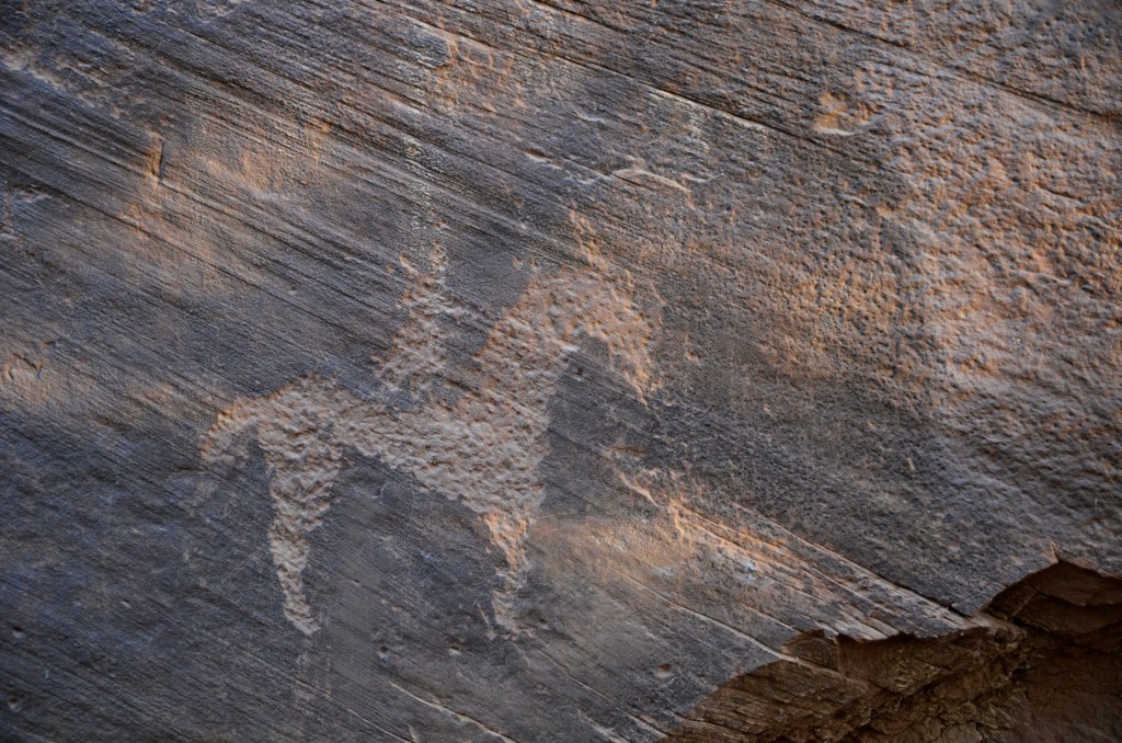
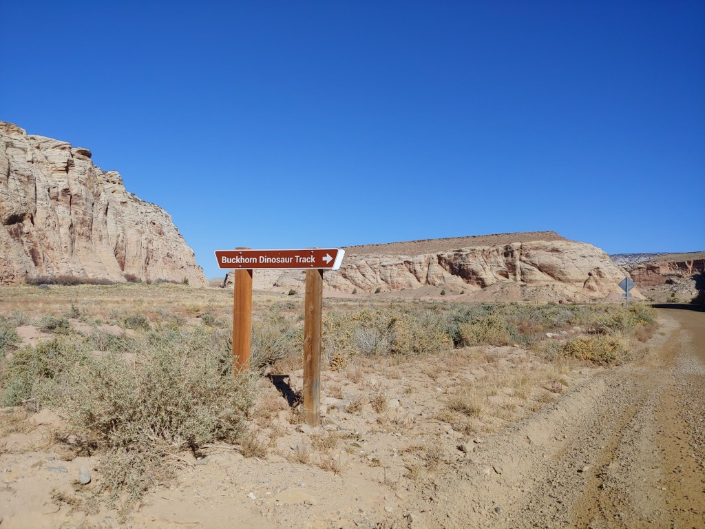
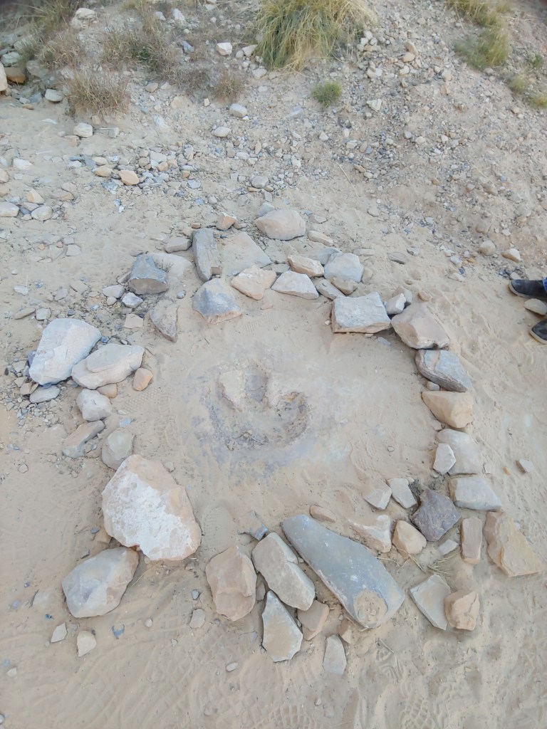
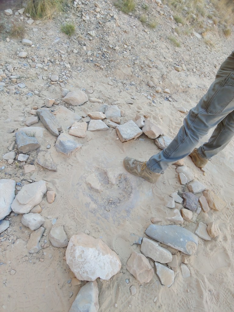
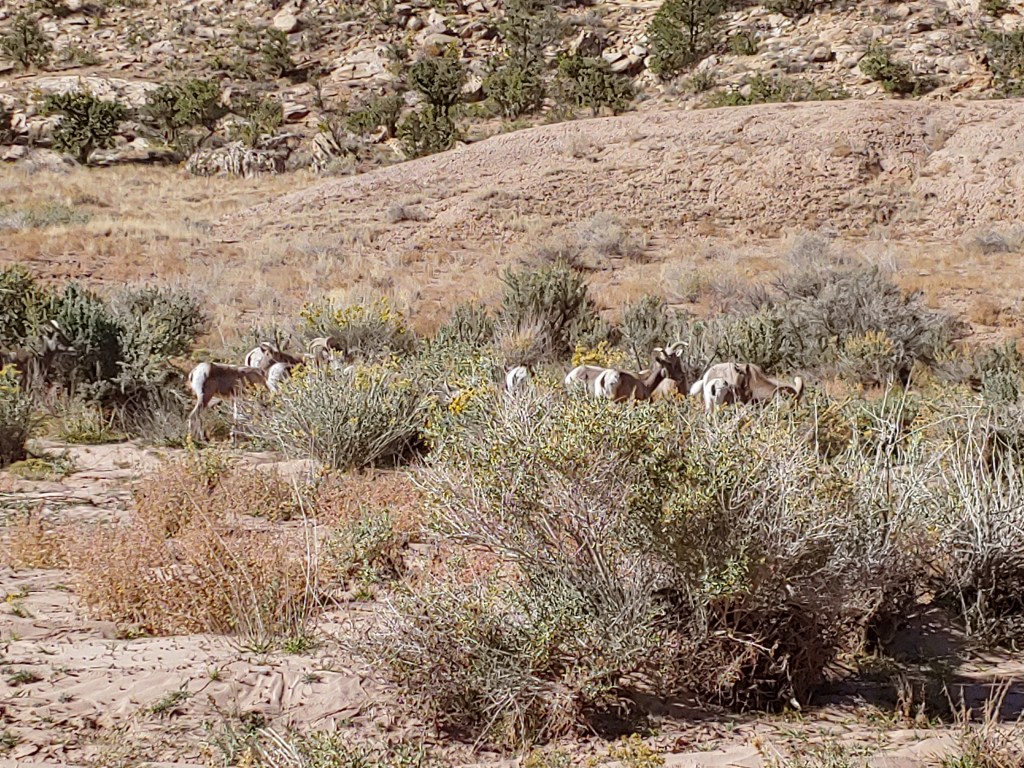
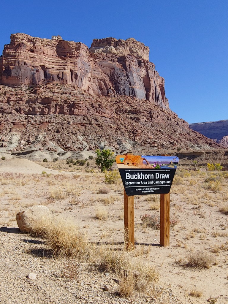
One morning we took a driving adventure down through the Buckhorn Wash. We stopped at the Dinosaur Track – yes, just one! and then saw a small herd of Desert Bighorn Sheep just around the corner.

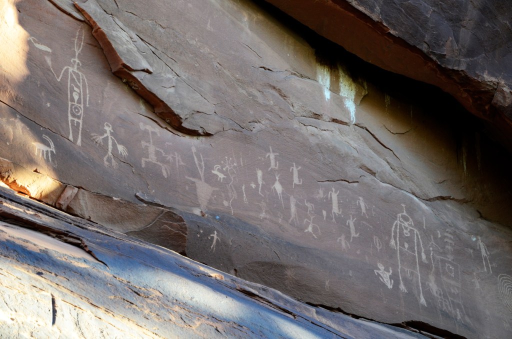
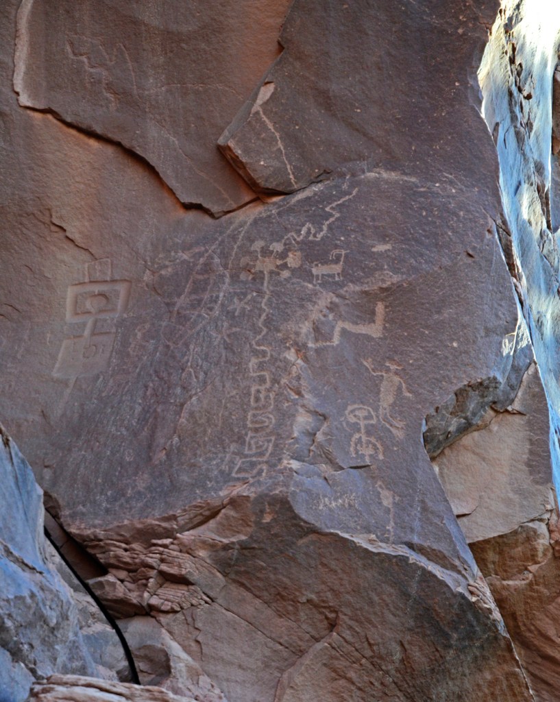
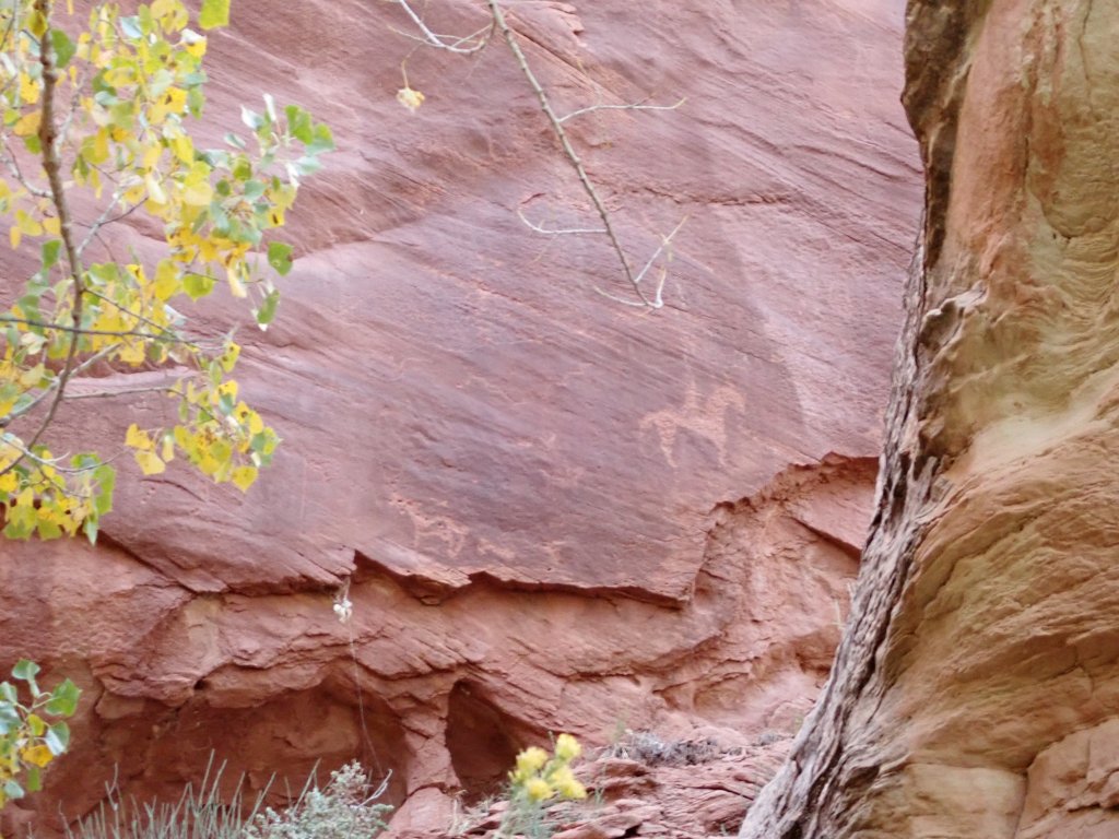
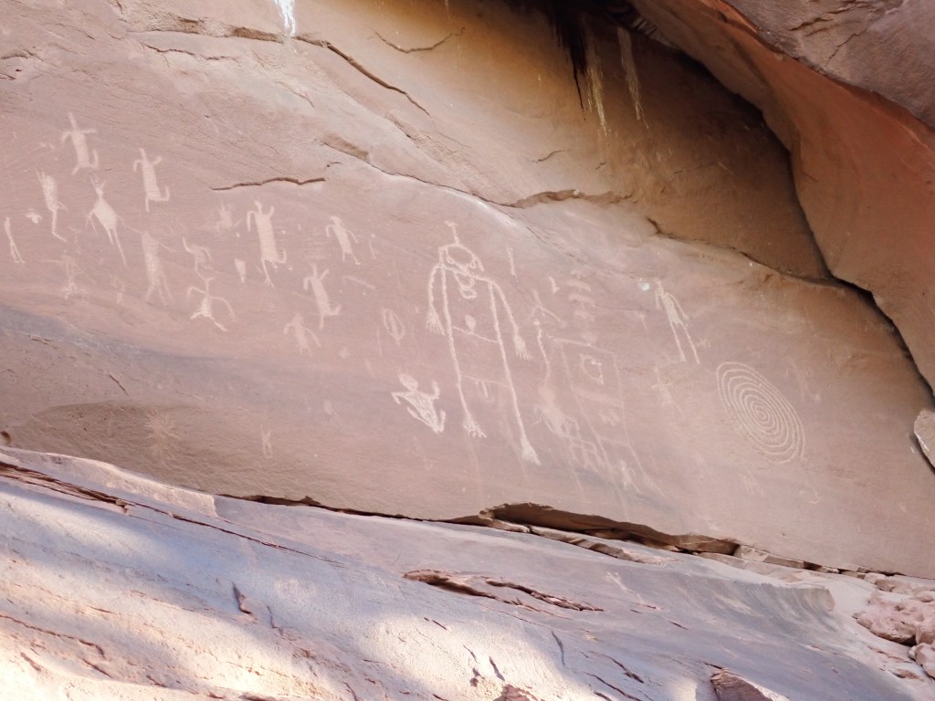
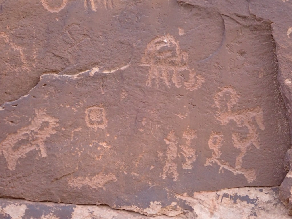
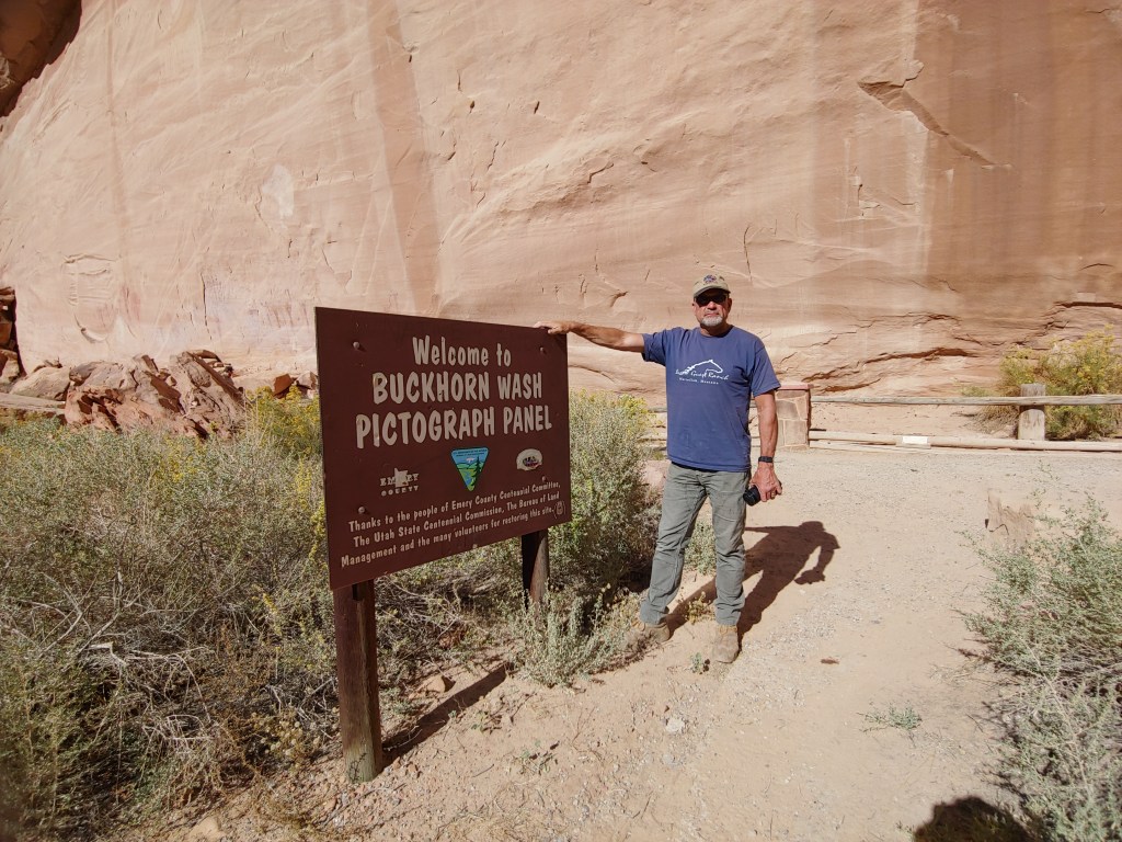
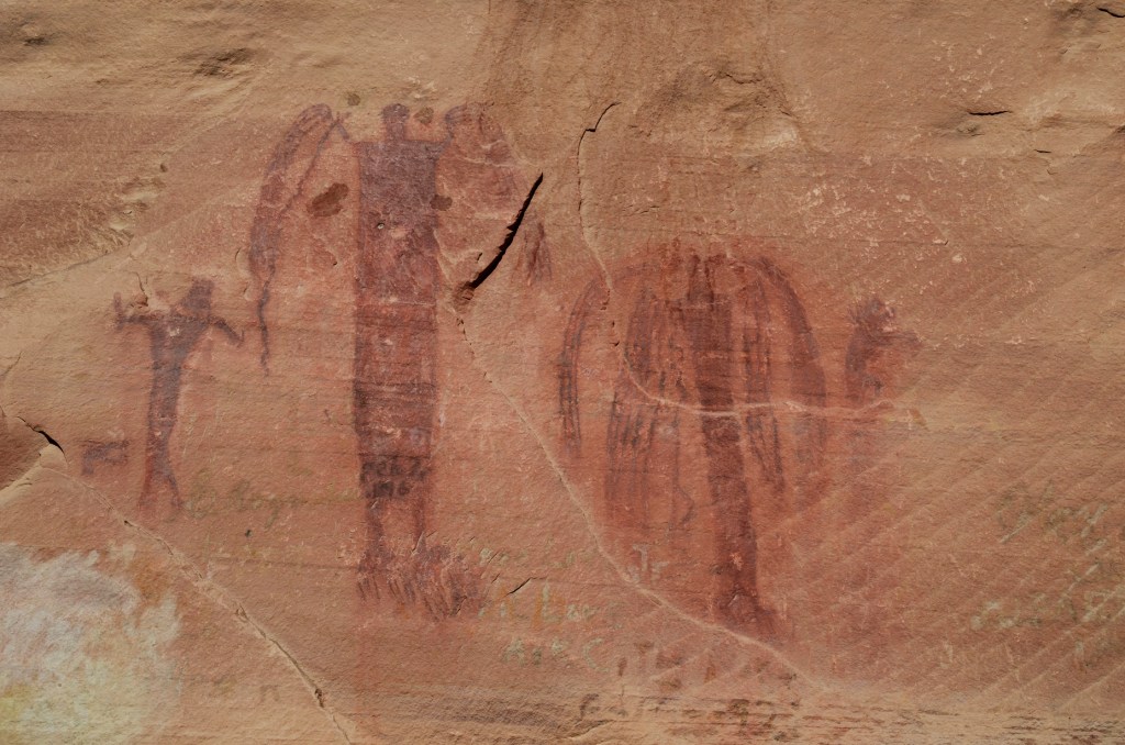
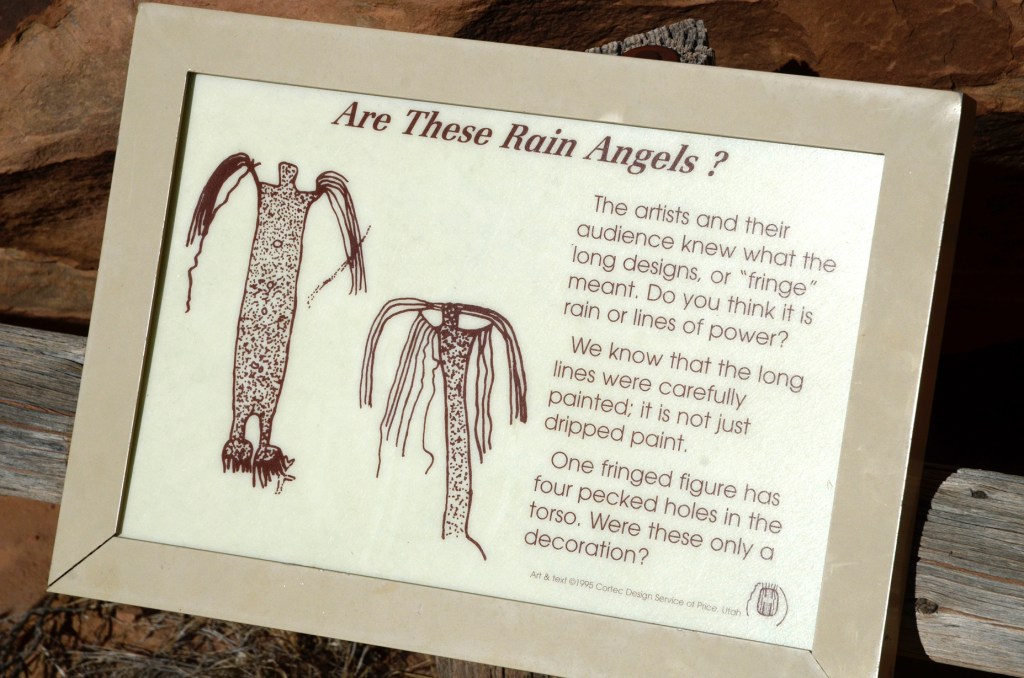
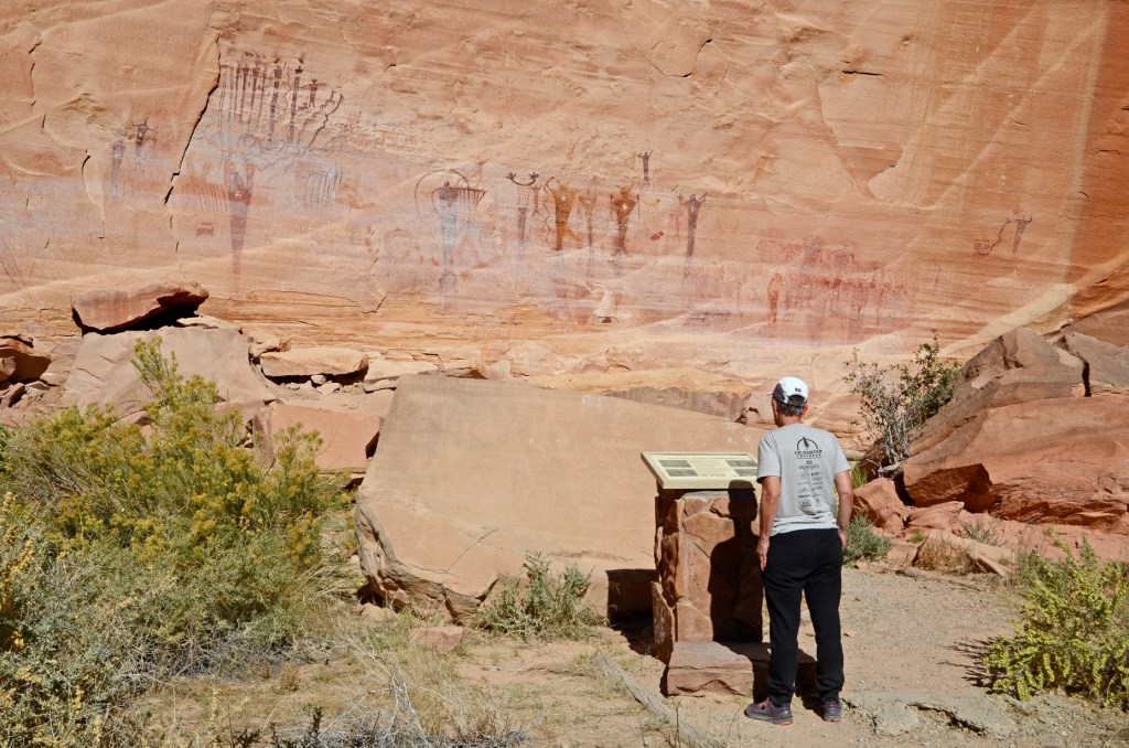
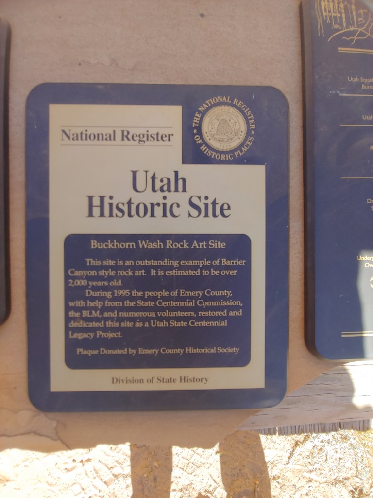
Next stop was the Buckhorn Wash Pictograph Panel – very impressive and different from the petroglyphs we saw the week before. (The pictographs are essentially painted on the rocks where the petroglyphs are chipped into the rocks.)

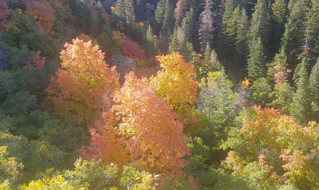
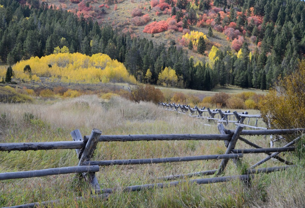
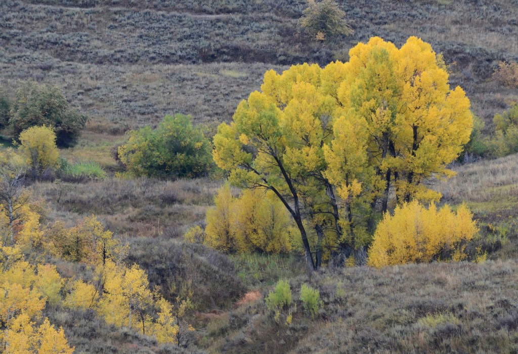
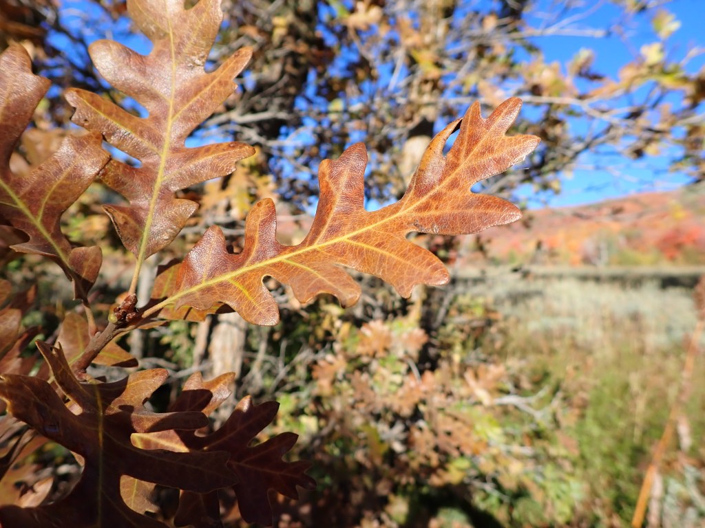
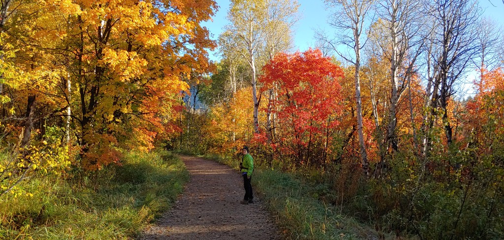
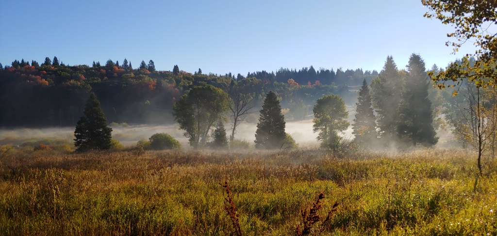
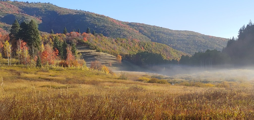
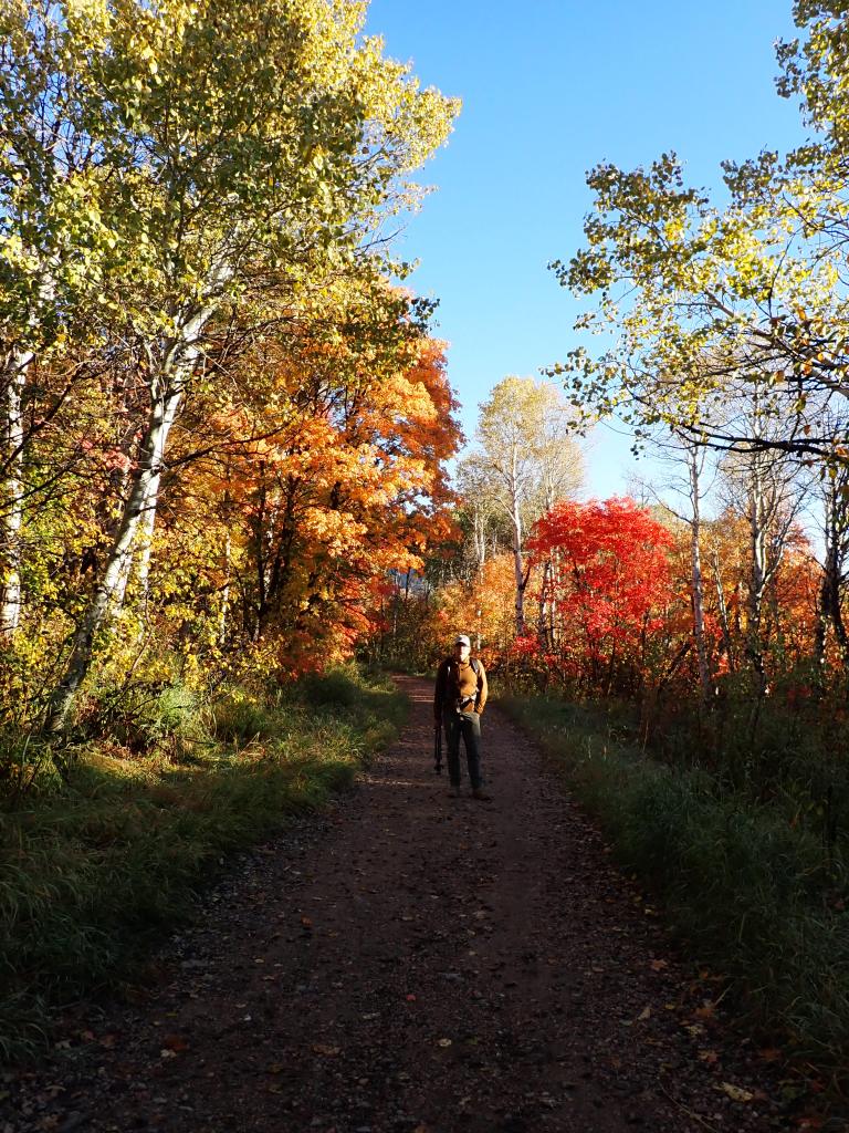
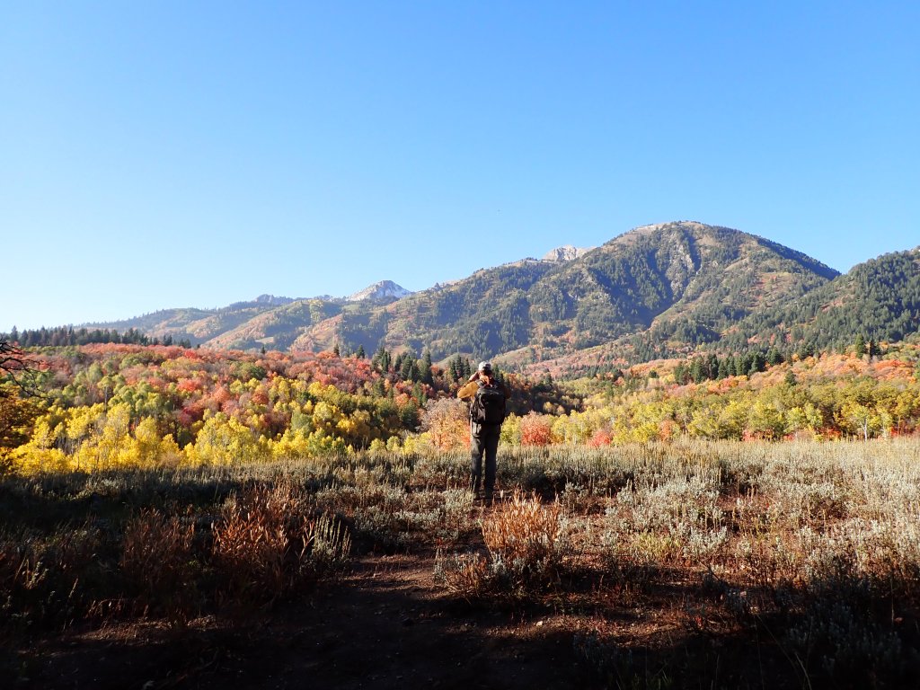
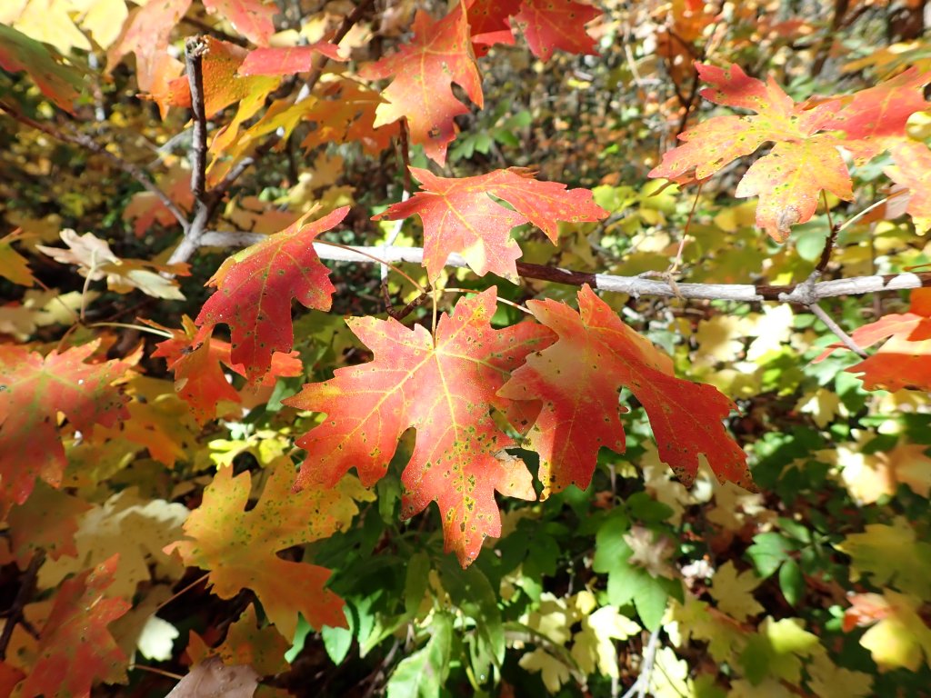
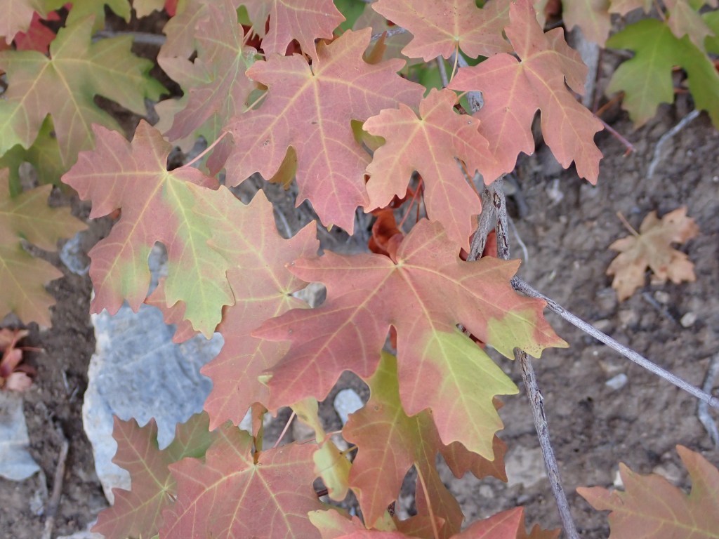
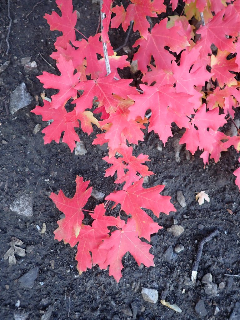
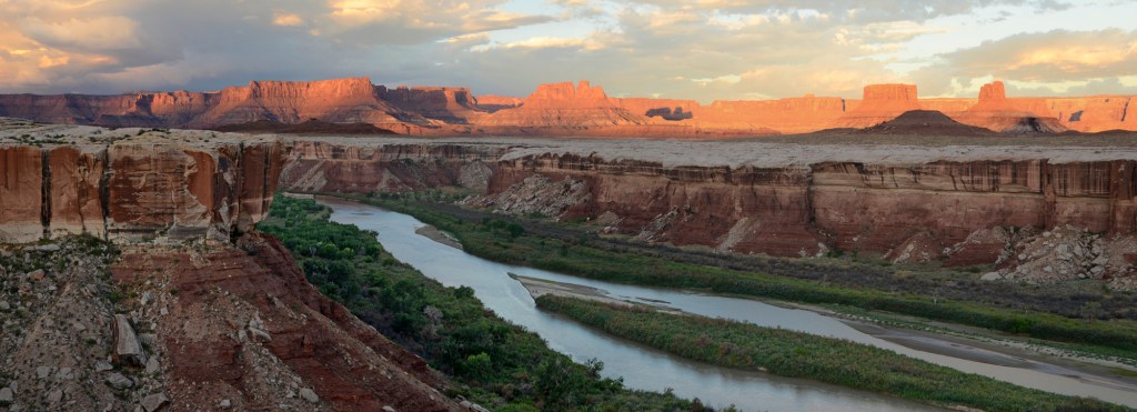
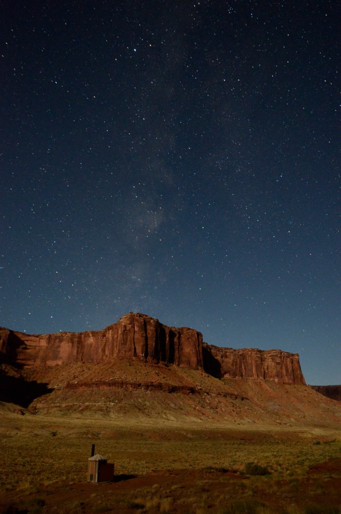
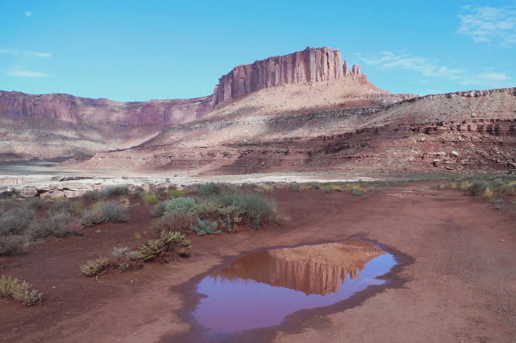
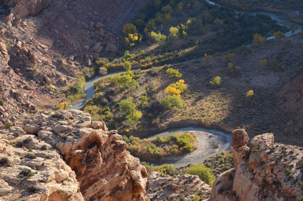
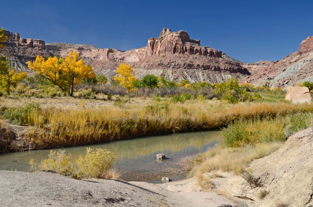
Just a ways past the pictograph panels was another campground right on the San Rafael River where the cottonwoods were putting on a great fall color show.

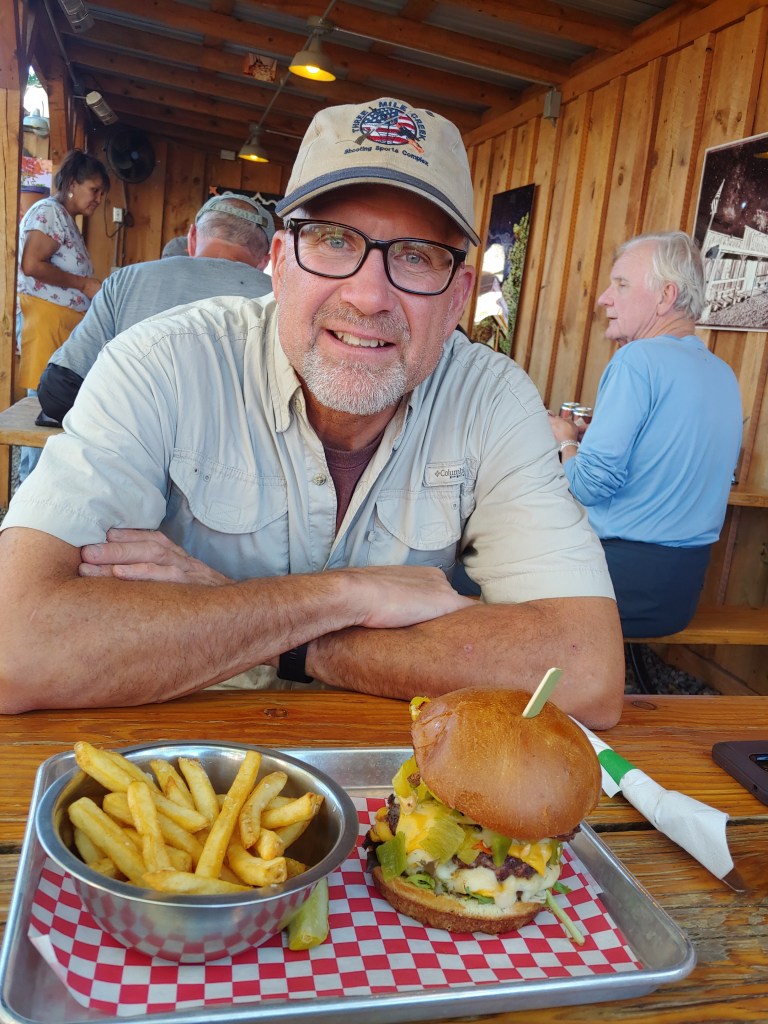
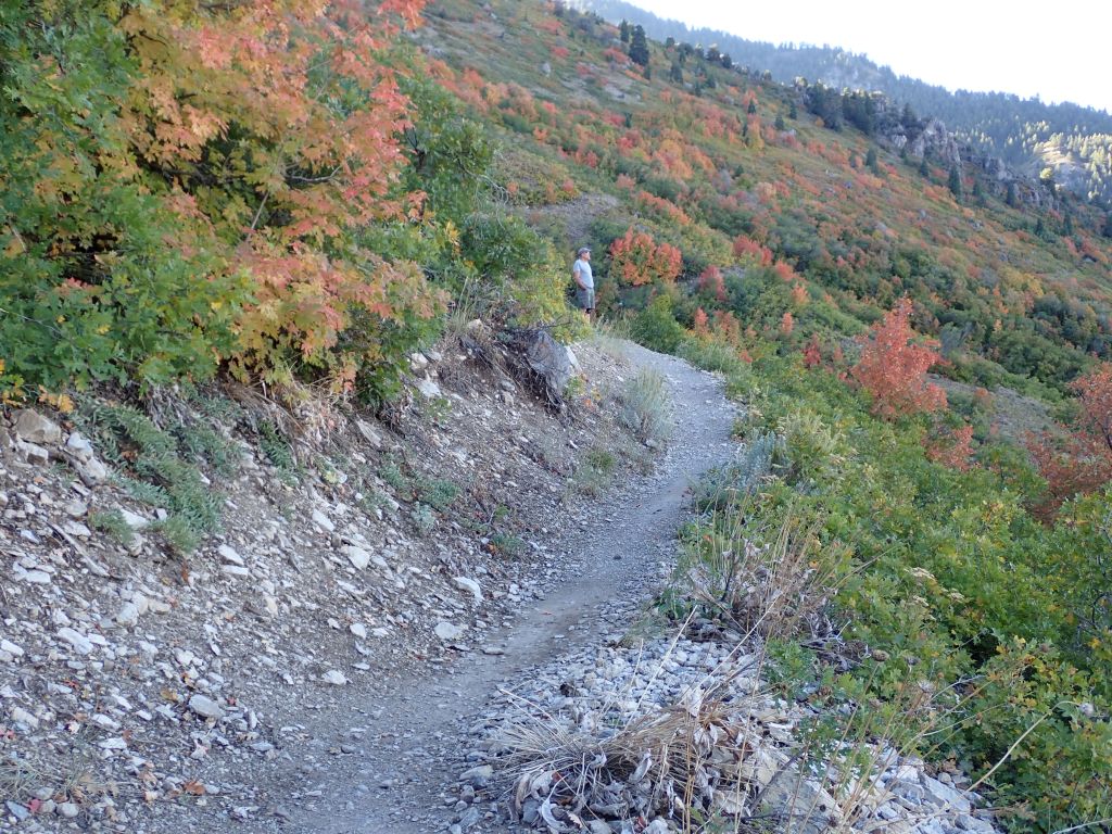
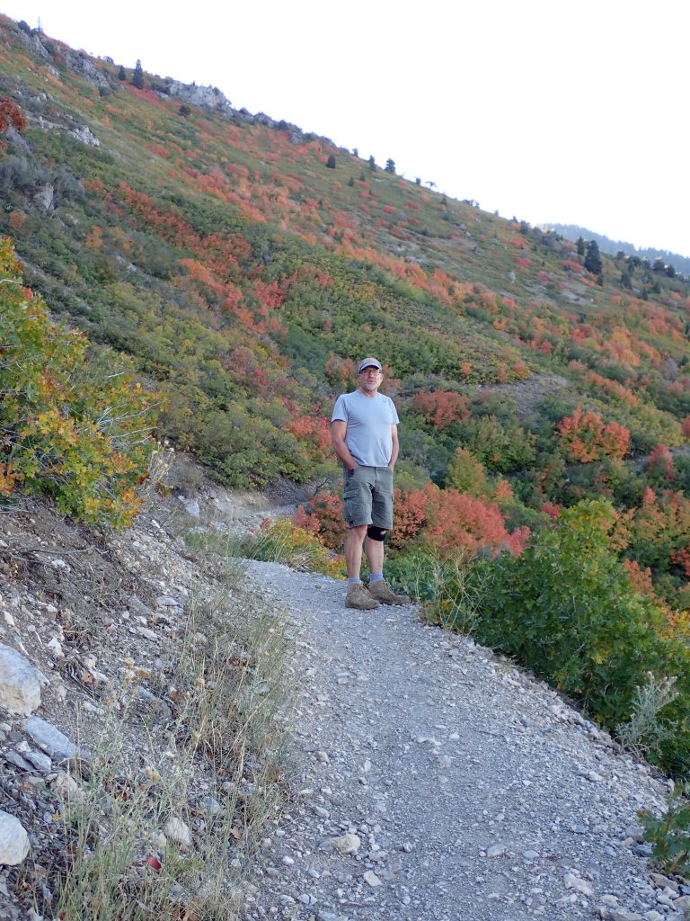
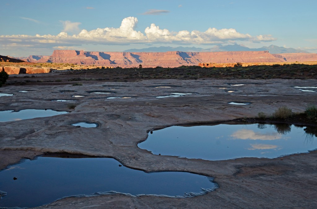
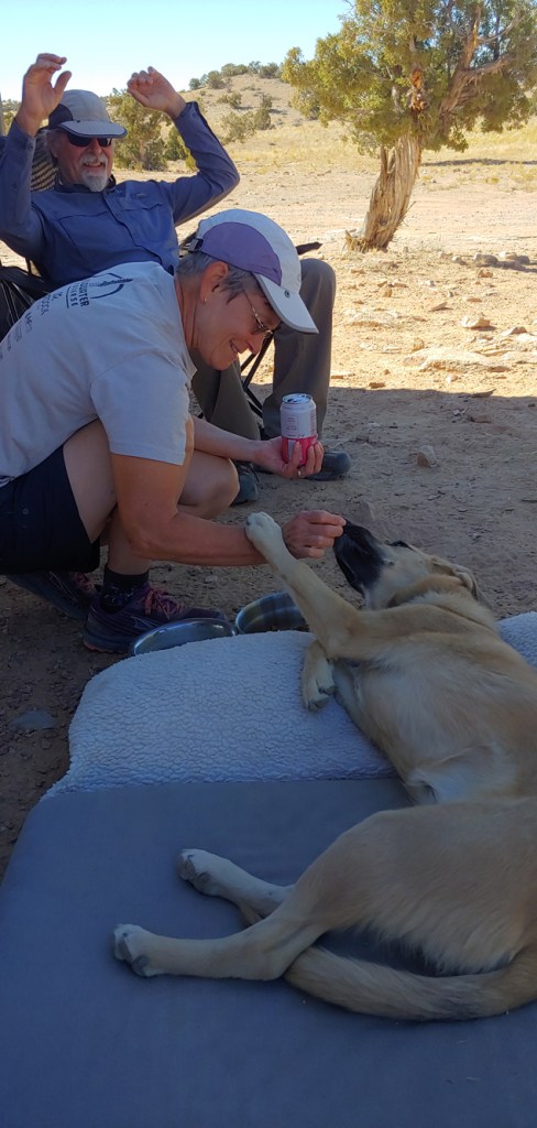
Beautiful weather, great company and food and some fun exercise made for another great adventure in Southern Utah. Lots more to explore in the San Rafael Swell!

Bluff (UT) and more Stuff …

Joel and I had about a day and a half to explore Bluff and the surrounding area before heading home. We walked through town to the San Juan Mission/Bluff Fort Historic site which had great displays from the LDS mission to settle Bluff. In a nutshell, the 250 missionaries from the Salt Lake area embarked on a journey that was supposed to take 6 weeks but, due to the difficult travel, took 6 months. After visiting the fort we had to stop to eat!

Chili cheese fries balanced with vegan (Jackfruit) tacos!

Petroglyphs and Rock Art Panels at the Sand Island site were also on the agenda.

And another meal in town at the Comb Ridge Grill where Joel had the “Ring of Fire” burger!

And then spent time taking pictures of his eclipse photos from his good camera to send to his stargazer friends in UT and MN.

Neither of us had actually visited the Four Corners Monument so we decided to drive over there. This is the area where Colorado, Utah, New Mexico and Arizona meet. It is all on tribal lands so our National Parks Pass did not work so we paid the fee to visit the site but decided not to stand in line to step on the four pieces of concrete.

Instead, we hiked the Stateline Trail which was much more rewarding – no people!

Weird sign – not sure when coyotes were declassified to reptiles – HAHA.
And not sure why they have signage for Osprey in the bone dry desert!
AGREE!
There are wild horses roaming in the area and they seemed to have a sense of humor … at almost every single “Leave No Trace” or Pack Out Your Litter” sign they left a big pile of poop!

We had a great time viewing the eclipse and exploring Bluff – the only negative was that we couldn’t celebrate with the whole family like in 2017 – but if not in body we think that everyone was there in spirit!

2017 Eclipse Team! (Minus Joel)

Ring of Fire

Last year Dad discussed having our next family reunion in October of 2023 to coincide with the “Ring of Fire” Annular Solar Eclipse. He was pretty excited when I made reservations in Bluff, Utah in November of 2022 and got the last six rooms at the Desert Rose Inn and Resort. All told there are only a couple of motels in Bluff and 11 months prior to the event, they were booked full.

Dad had some history as the original family eclipse chaser. I found the following brochure and a photo from the 1979 eclipse. I don’t remember a lot about it but I remember me and Ross and Dad (and maybe a couple neighbors) getting up at the crack of dawn and driving to Kelso? or thereabouts. From Dad’s photo, it was cloudy and there were a lot of vapor trails but he did get one photo as the eclipse was moving past totality.

As time marched on and we lost Dad, the interest and availability waned for the rest of the family to attend so I ended up keeping only one room at the hotel. Since Joel has become the official family eclipse photographer, we kept a close eye on the weather and our fingers crossed for no rain or clouds!

Unfortunately, as the eclipse got closer, the message out of the Bluff Mayor’s office was not too inviting!

“Mayor of small town in Utah to eclipse viewers: ‘Don’t try to come here’

Bluff is bracing for a blitz of stargazers and expects shortages of gas, food and cell service.

For those looking for a last-minute locale in southern Utah to watch Saturday’s “ring of fire” solar eclipse, the mayor of Bluff has a message: “Don’t try to come here.”

The small town of about 260 people expects an influx of 20,000 eclipse viewers this weekend, Mayor Ann Leppanen said. It sits in a pocket of Utah that’s directly within the annular eclipse’s path. It has almost no light pollution. The weather forecast calls for mostly clear skies Saturday, making for ideal viewing conditions.

But making the trek to Bluff, the mayor warned, isn’t “a wise idea.”

Not heeding the advice, we left a day early and had no traffic, no lines and no gas or food shortages anywhere – in fact, every restaurant that we visited was busy but thanked the patrons for stopping by. HMMM, methinks that the top brass are not in sync with the rest of the town!

Lots of lizards enjoying the sunny afternoon at the Desert Rose Resort.
Practice shots the afternoon before.

The morning of the eclipse, we drove about 20 miles west to the Valley of the Gods. In the 120 mile swath of totality, the location that Joel chose was less than a mile from the dead center … thus the perfect “Ring of Fire”

The arrow on the right is Bluff where we stayed and the arrow on the left is the Valley of the Gods which was dead center on the line of totality.
You have to really look at this photo carefully but there is a slight sliver just past 12:00 as the moon begins its journey.
Pretty remote area and there were only a few others in the parking area behind us.

Fall Colors in Utah

Every couple of years we have amazing fall color photo opportunities. I am sure I read somewhere that the amount of moisture that the trees receive during the spring and early summer help determine the intensity of the color. Makes sense since we had a great snowpack this winter and a lot of rain this spring. Some years we have seen the hillsides turn from green directly to brown with nothing in between – not the case this year!

First set of photos was just after a rain and Joel was hoping to get some of the fresh snow on the mountains – unfortunately the fog stuck around for most of the time he was out.

Joel was taking photos of the hills in the Snowbasin area and looked down off the side of the road and saw Mr. and Mrs. Bullwinkle!

Then a second visit to the other side of the North Ogden Divide last week and we went back to Snowbasin and then around the Pineview Reservoir.

Although the oak leaves typically don’t show much color, these were pretty with the variegation showing on the veins.
Pineview Reservoir and a slight dusting of snow at Snowbasin Ski Resort.

Yesterday we decided to take a quick trip up Coldwater Canyon which too was full of vibrant color.

Joel with his new fashion accessory – knee brace!

White Rim MTB Trip – Day 4

All good things come to an end, as they say and today was unfortunately our last day – about 1/2 day of riding with one last big climb to tackle – the climb up from Mineral Bottom. What we didn’t know was that after we left Canyonlands and entered onto BLM land, they were working on a significant stretch of the road and it was a painful, slow ride on newly smeared sand (as opposed to a nicely graded road!) A few choice words might have been uttered as I felt like I was riding through glue.

“I am not a coffee drinker.”

I decided to ride the last day in the RAAM jersey that Ross gave me. To train for this trip, I had been riding into work twice a week and then Joel and I had ridden 15 – 20 miles a week at Antelope Island for a total of about 55 miles a week. I still can’t fathom the training that Ross did for RAAM to be able to ride 2500 miles … WOW!

Early morning shadows at Taylor Canyon.

Leaving Canyonlands National Park onto BLM land for the rest of the trip.

Rachel said her Mom bought her these socks!
Huge ascent from Mineral Bottom!
Rounding the last switchback from Mineral Bottom. I had to stop several times but only walked once for 0.2 mile. Joel made it up the whole way without walking! By my Garmin we rode a total of 94.95 miles and enjoyed (almost) every single mile.
Trevor topping out.
Last lunch before heading back to Green River.

Joel ended up with some interesting tan lines!

Warrior from the Three-Stripes Tribe?

Of course we had to pick up some melons from Dunham’s to take home!

Canary, Lambkin and Israeli melons – YUM!

Once we finished lunch and started the drive home, my first thought was how nice it was to go for almost four full days without emails, texts or phone calls. The next thing I thought about was, “What trip are we going to go on with Holiday next year!” Wonderful time was had by all …

White Rim MTB Trip – Day 3

Joel managed to find a great vantage point overlooking the Green River and was snapping away as the sun rose. If you look very closely, you can see two campers sitting on lounge chairs at the end of the sandbar – obviously part of a canoe or raft group, enjoying the spectacular sunrise from a very different vantage point. Looks like some calendar shot material here!

With no predictions of rain for the rest of the trip, we were a little surprised when a nice bank of dark clouds rolled in just as we were finishing packing up camp. Luckily, they kept right on a movin’ to the north!

Morning ritual of pump and lube. Tristan dressed in his sporty PitViper kit today.

Today we had another big climb over the pass between Potato Bottom and Hardscrabble Bottom. This one had stops that leveled out a bit so we could ride some but again, a lot of walking (at least for me) involved!

Carmen and Trevor heading down the other side of Hardscrabble.
Day 4 lunch at Labyrinth Campground.

Once everyone made it up and over the Hardscrabble Climb, it was a relatively easy ride down to our lunch spot. After lunch, we headed almost due East to our camp for the evening in Taylor Canyon. This was a new campsite for this White Rim Trip and nice and remote. Only one other vehicle came down the road that afternoon.

Rachel with the Zeus and Moses rock formations on the skyline.
There was a trail up to the Zeus and Moses towers that we took from our campsite. It was a fun little hike but some areas were a bit hard to route-find and they looked more like random game trails!
It ended up being pretty hot on the last stretch towards Taylor Camp – lots of shade at the outhouse, however. Trade-off – stink or shade? … shade won out.

Joel got up around midnight and snapped a few star shots and caught the Milky Way over the outhouse! And also “Hercules” over our tent looking the other way – but don’t ask me to try and identify those stars.

White Rim MTB Trip – Day 2

Today we awoke to an amazing sunrise … Wait, Back Up. Not really … we were woken up around 3am to a torrential downpour, wind, hail and general mayhem. Luckily we had put the rain fly on the tent for no other reason than Joel didn’t want the “moonshine” waking him up. Weird, but fortunate.

Anyways, even with the fly on, I was on the side that was getting pummeled by the rain and a lot of my stuff got wet. Others in camp weren’t so lucky. Tristan decided not to put up a tent but slept under the van. Unfortunately no one thought it was going to rain and no one looked at the ground or noticed where the water obviously ran during these downpours. It ran right under the van and a soaking sleeping bag and pillow were Tristan’s prizes. I had not paid attention either and laid my bike down right in the middle of the same drainage and I got to listen to the sand grinding in the gears and brakes all day!

Rookie move as I laid my bike down in what was obviously a flash flood route. Back brakes and gears full of sand!

OK, we really did have an amazing sunrise with more water and reflections in the pools with the La Sal mountains in the background once we finished wringing everything out!

We broke camp and continued on the White Rim Road with a stop/side trip to White Crack about nine miles down the road.

Alison – “Why are you digging in your nose?” Joel – “I am not.” Alison – “OK, whatever you say, dear.”

Our next camp at Candlestick was about 20 miles down the road but first we had to tackle the first big ascent of the trip – Murphy’s Hogsback. Rachel and Luke powered up the hill but the rest of us took turns walking our bikes up the steep grade. Not too technical but requiring a bit more strength/fitness than we had! Joel made a valiant effort but in the end had to hop off.

All smiles at the beginning!
Luke tackling the beast, and yes, that is how steep it was – photo is not embellished.
When all else fails, get off the bike and walk up.
A bit warm at the top! I need food.

Once we had lunch, we powered down the other side of the pass and through the Soda Springs Basin to Candlestick Camp.

Near the bottom of Murphy’s Hogsback with the Candlestick rock formation on the skyline – our camp was in that general area.
Luke on dinner duty at Candlestick Camp.

White Rim MTB Trip – Day 1

We had to do a bit of maneuvering to make this 4-day trip come to fruition. The minimum number of clients is usually six and we only had two. Holiday managed to combine our trip with another two person trip and made an exception for our now group of four. Add in two guides, plus a guide in training, and we ended up with a great group of seven.

We did the mandatory gear check the evening before and met our fellow riders, Carmen and Trevor. They had been friends for many years and were a great addition – Carmen has been taking a women’s mountain biking course and had tons of technical tips that I actually used almost every day. Trevor currently lives in NY and said he only rode a mountain bike once and did all his training on a Peloton in his apartment. For his fitness level and biking ability, he should be a company spokesperson! The guides Rachel and Tristan with trainee, Luke, rounded out our group.

We loaded the gear the next morning and drove down to the Island in The Sky Visitor park entrance in Canyonlands National Park to take the clockwise route. A very short drive after that we were at the top of Shafer Canyon where we began our ride. The roads on the White Rim Trail are four-wheel drive trails so not very technical but starting off the four day trip with a very steep and long downhill was a bit of trial by fire. Not sure of anyone else but I basically had a death grip on my brakes for the entire descent (1200 ft. in 3-ish miles.)

We stopped to regroup at the bottom of the hill and then headed off. The weather was about perfect for a ride – not too warm (but a bit humid.) It seems like this four day trip hit a weather window that was ideal – the week prior and after our trip, the temperatures shot back up into the 90’s. We think maybe the typical weather kept a lot of people away but it worked to our advantage as there were very few people out, even for a holiday weekend.

Shafer Trail Descent
At the bottom of Shafer Trail

We stopped at Musselman Arch and heard interesting stories of past escapades on the arch. It is not allowed to walk or stand on the arch now, but in the past people walked, rode bikes and one individual drove a small VW over the arch. Carmen has been on this trail six times and told a pretty horrifying tale of her brother riding a bike across years ago. There are several cracks and grooves in the rock and apparently her brother’s wheel got stuck in a crack and his feet were clipped into the pedals. It takes a pretty significant twist/yank to usually free oneself from being clipped in and I am sure her family was horrified watching her brother try to get out of his pedals before the bike fell over… UGH.

I guess it looks big enough for a small VW to drive over?
The arch blends into the background – red line is highlighting it.
Luke looking for critters in the rain pools.
Tristan drove the support van during the morning so anything goes as far as attire!

We stopped for lunch at Little Bridge Canyon and then pedaled for our camp for the night at Gooseberry Canyon. A total of 28 miles biking and at least my rear end was happy to get out of my cycling shorts into something more comfortable!

Pinnacles on the skyline are Washer Woman, Monster Tower and behind them is the Washer Woman Arch.
Camp is just around another corner!
Rain the day before had filled up a lot of little pools in the rocks and made for some great reflection work.
This was the only campsite during the entire trip where we ended up having “neighbors.”
Looking down Gooseberry Canyon from our campsite.
The Milky Way over the camp. Notice that this is a timed-exposure photo and you can see someone walking around the van with their red light on as well as a couple of satellites moving across the sky at the bottom left of the photo.

White Rim Trail – The Route

From what I understand, the White Rim Trail (about 100 miles) in one day is an iconic rite of passage for mountain bikers. It was easy to spot those that were embarking on this endeavor as they were going the opposite way that we went. There are several significant hill climbs (Joel and I mostly hiked our bikes up these) and they are easier and faster to ascend and descend going counter-clockwise – our trip went clockwise.

Our route starts at the Shafer Trail descent and ended with an ascent up from Mineral Bottom – going clockwise on the map.

One of our guides, Tristan, has friends who own the fastest known times on the trail – around 5 hours 28 – 30 minutes. So, what we are taking 4 days to do, is apparently attainable in less than 1/2 a day. My only question is, … WHYYYYY? Obviously for us it is all about the journey (and getting some calendar shots!)

Our route in yellow showing the camps at Gooseberry, Candlestick and Taylor where we stayed. Not shown on the map is the backtrack from Taylor Canyon to Mineral Bottom and then up the hill to the paved road which we did on the last day.