Although I should have been putting more miles on the bike in preparation for our mountain bike adventure, the prospect of cool, early morning hikes was just too enticing. With great hiking partners we “bagged” the following local peaks:
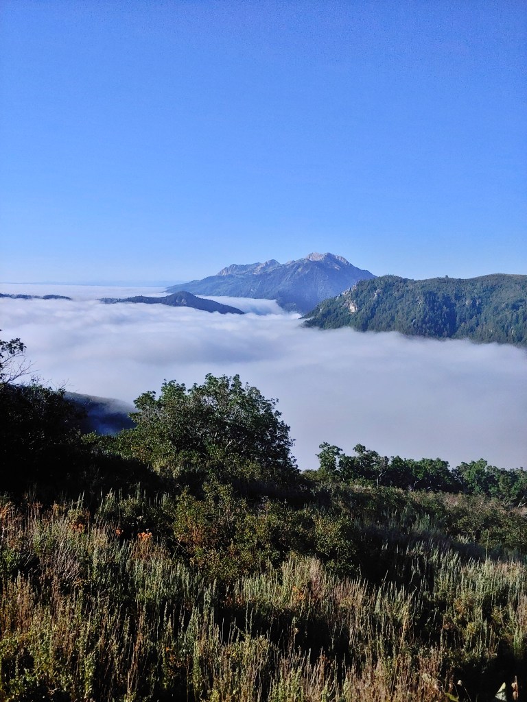
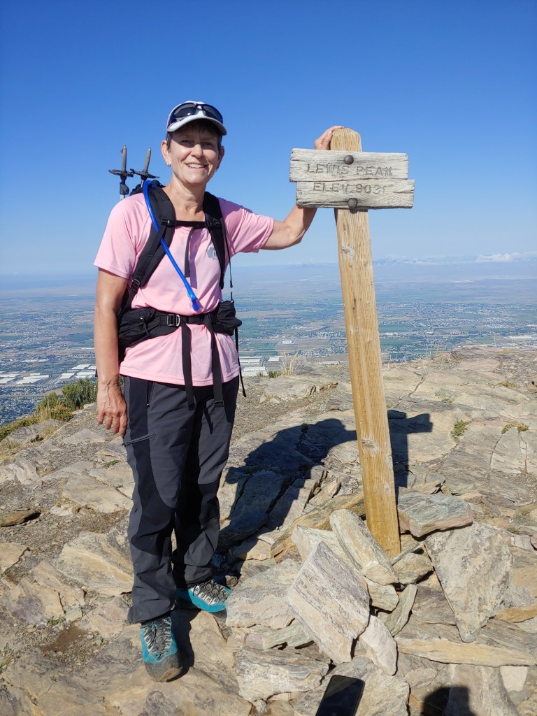
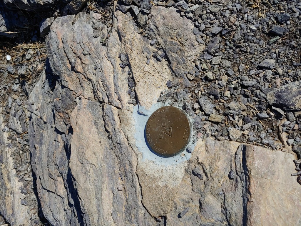
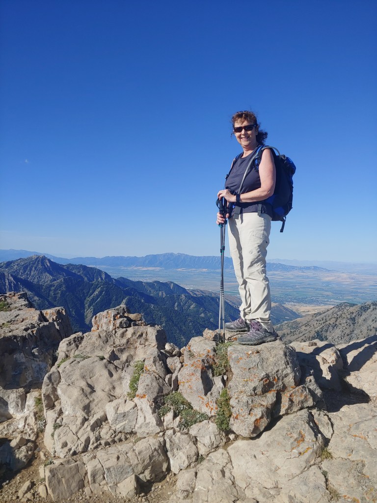
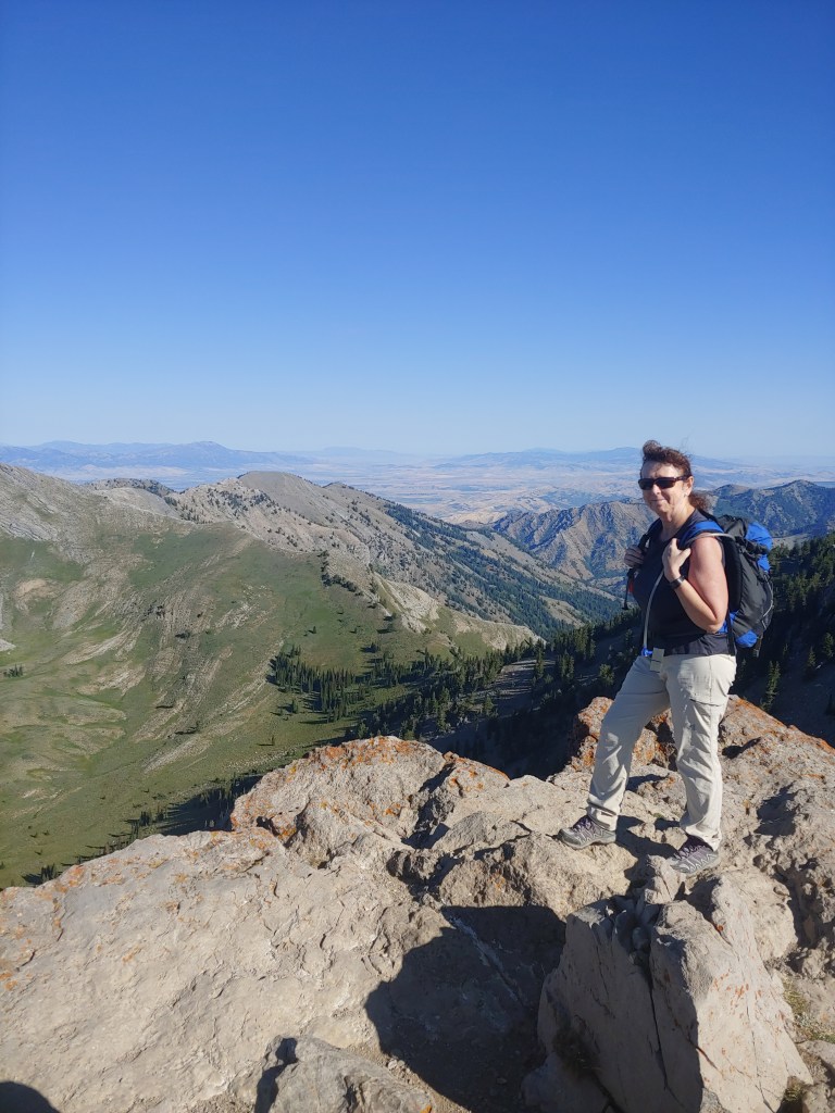
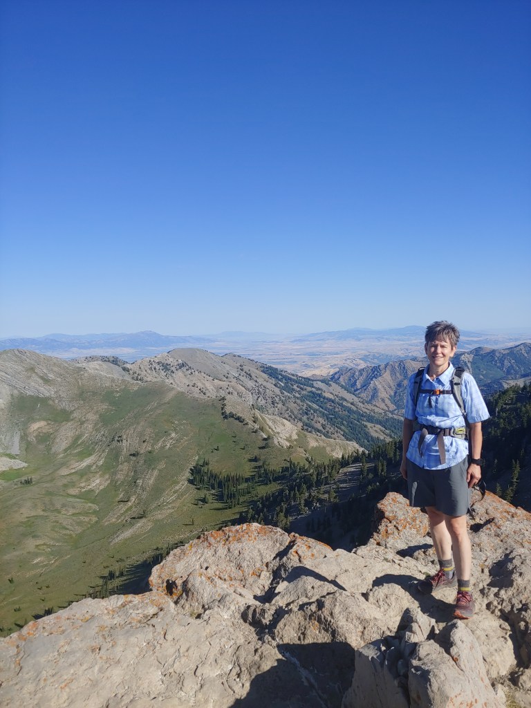
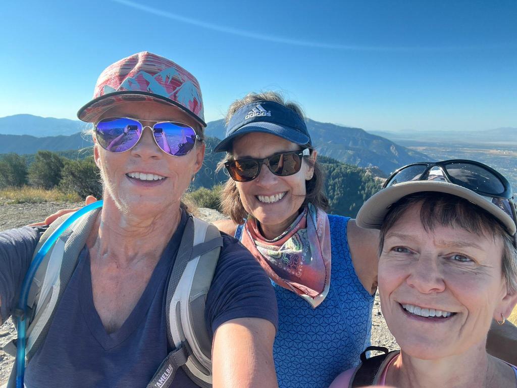
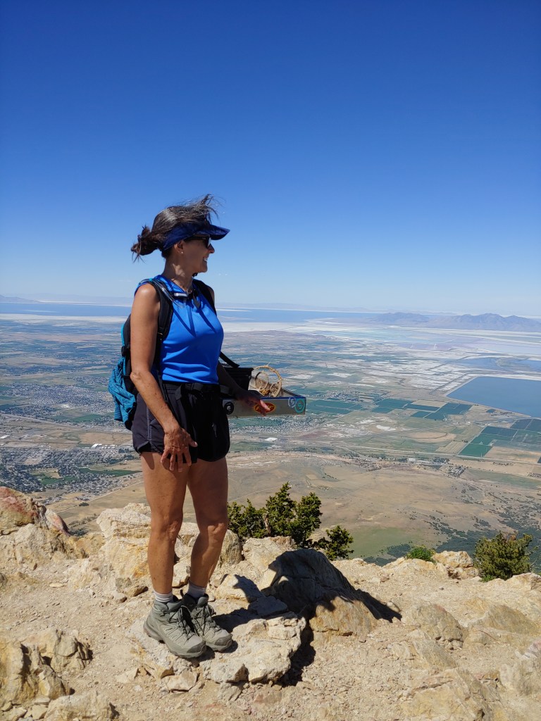
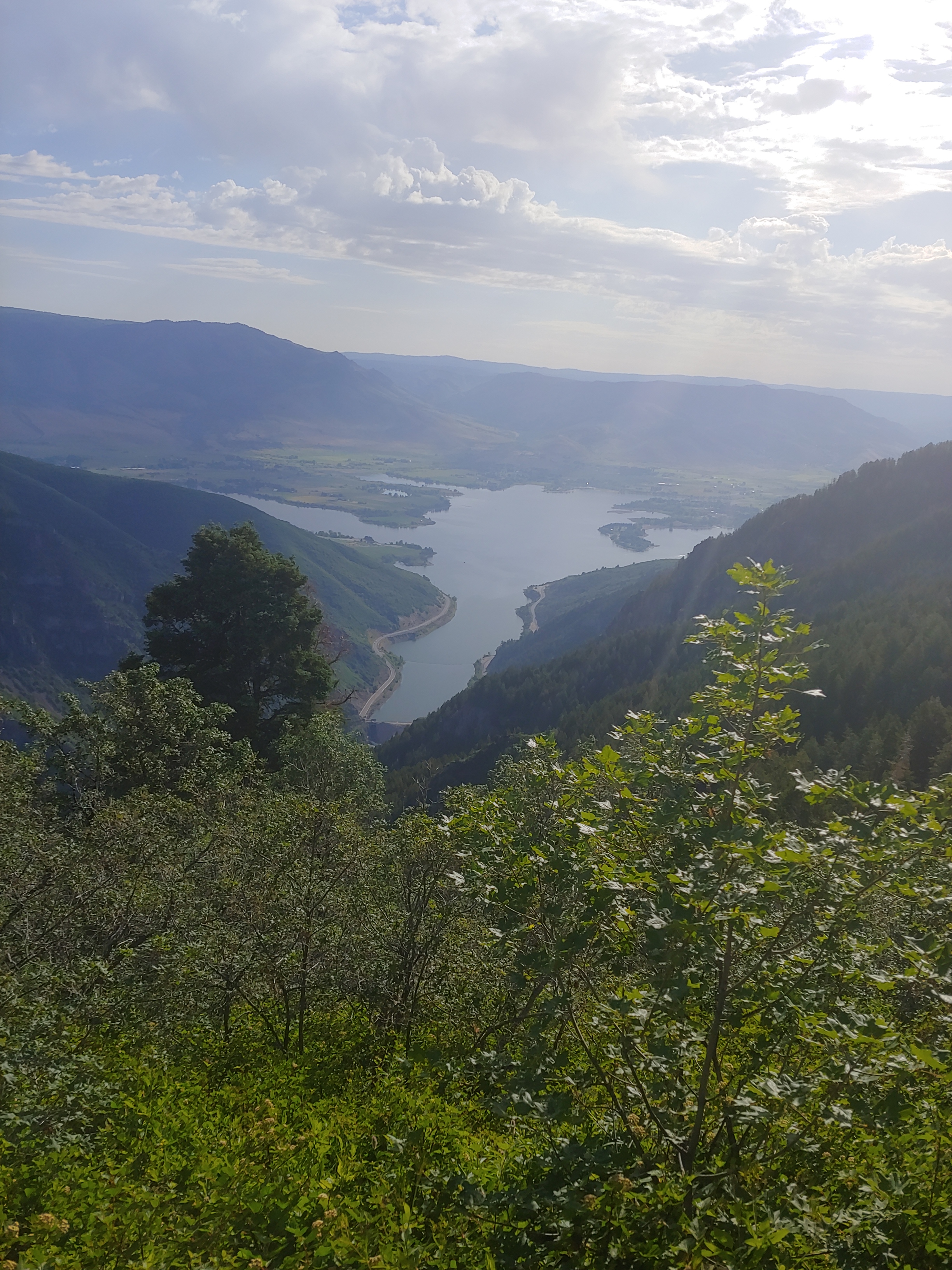
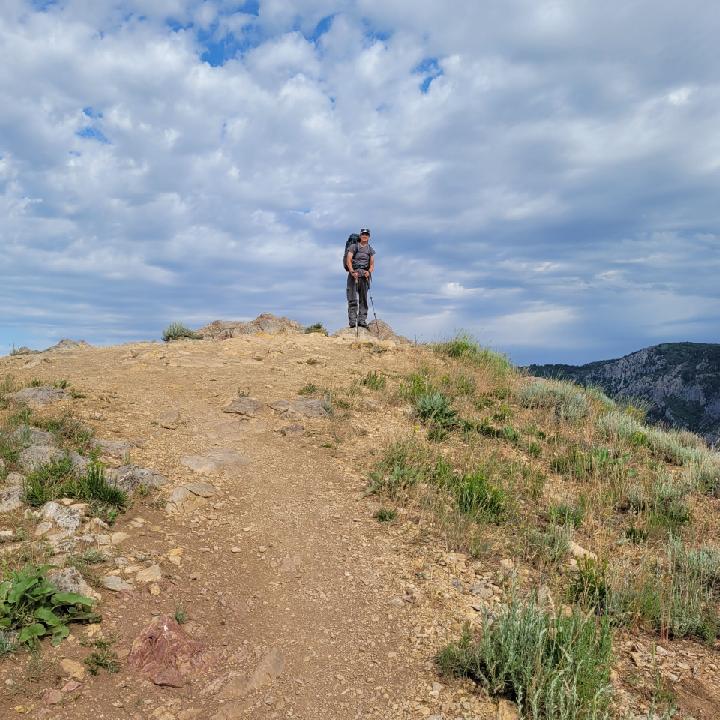
Lewis Peak from the Windsurfer Beach Trailhead with Pam – 18.8 miles up and back, started in the dark and watched a rare fog form on the flanks of the peak.
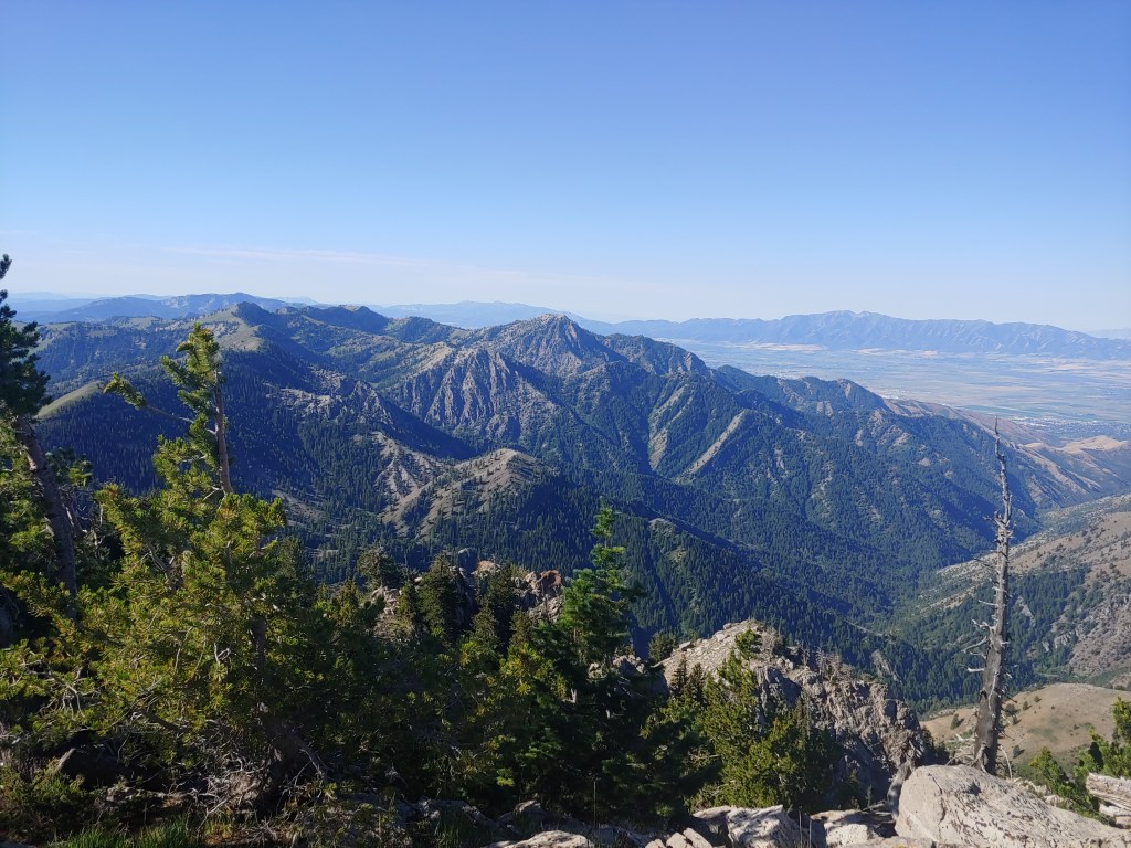
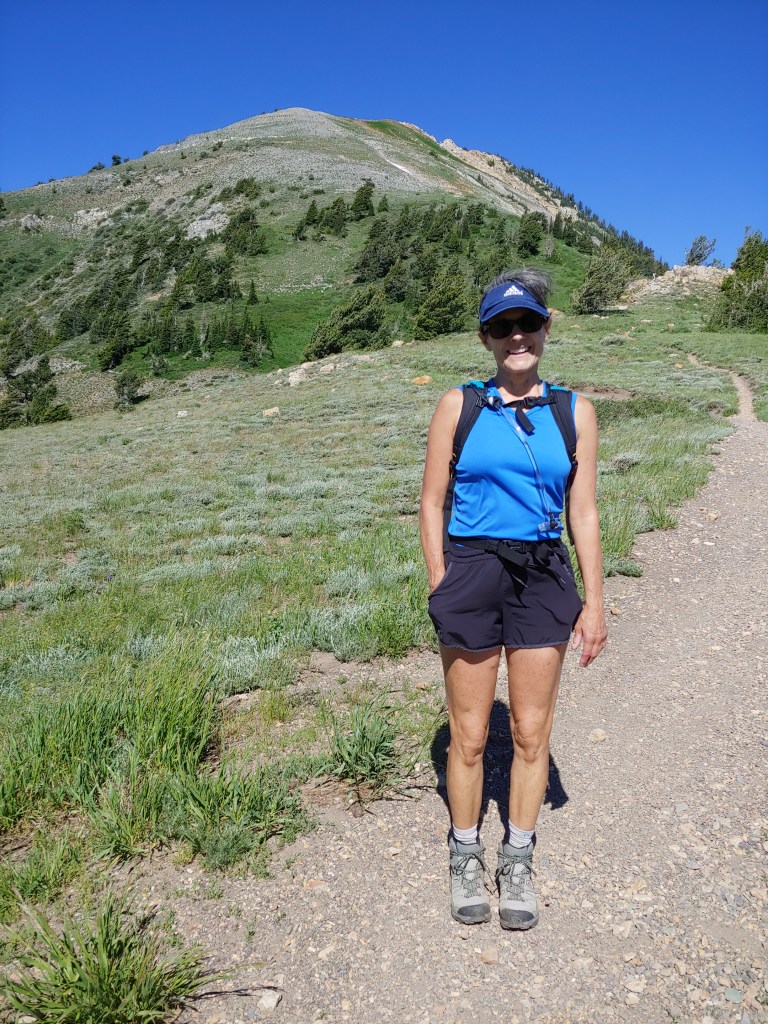
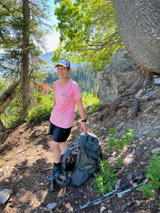
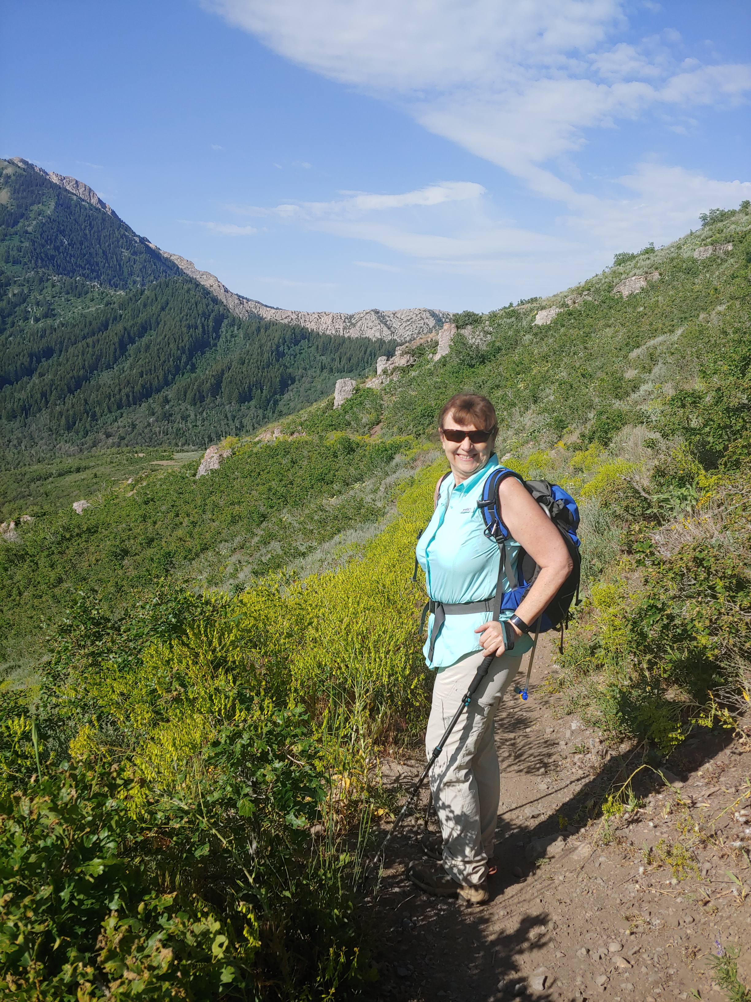
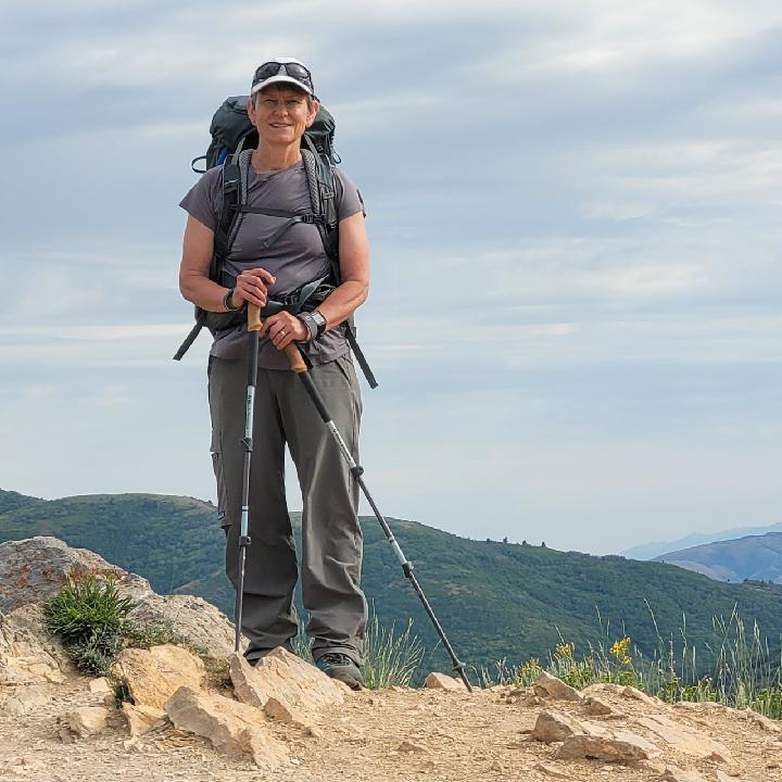
Snowbasin and Mt. Ogden in the distance.Pam in “peak” form for her upcoming Mt. Whitney climb.
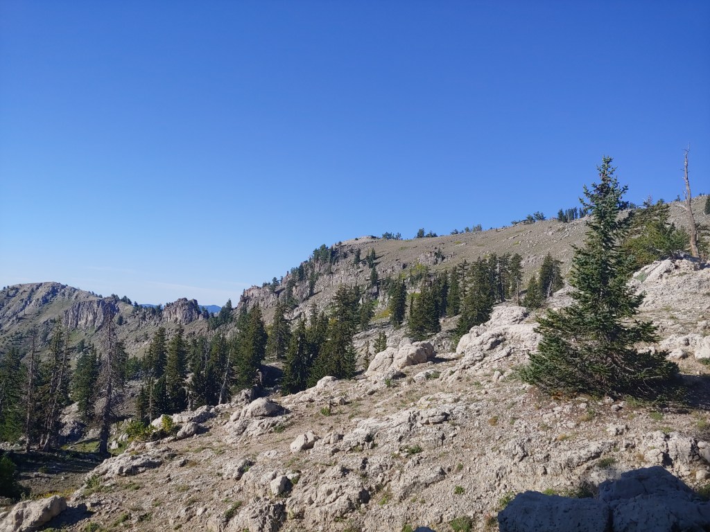
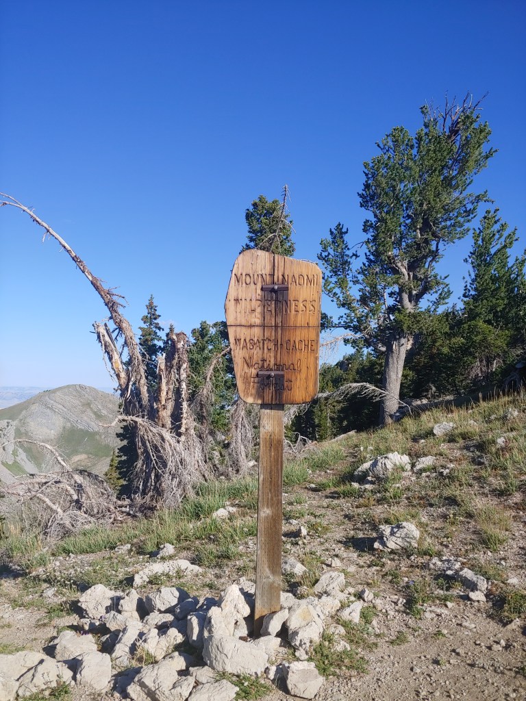
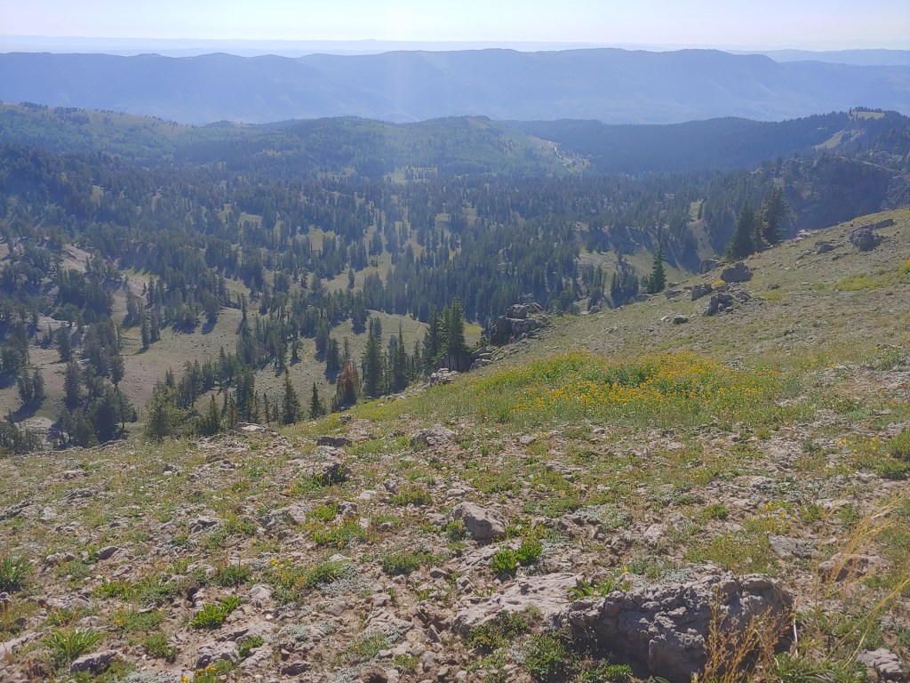
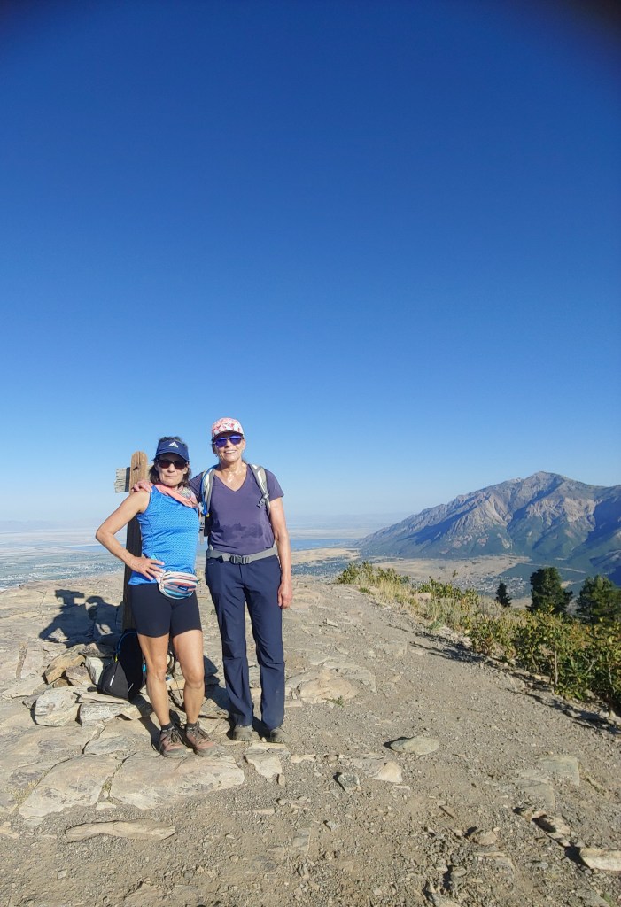
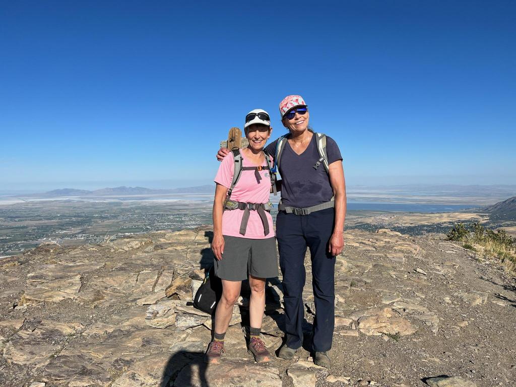
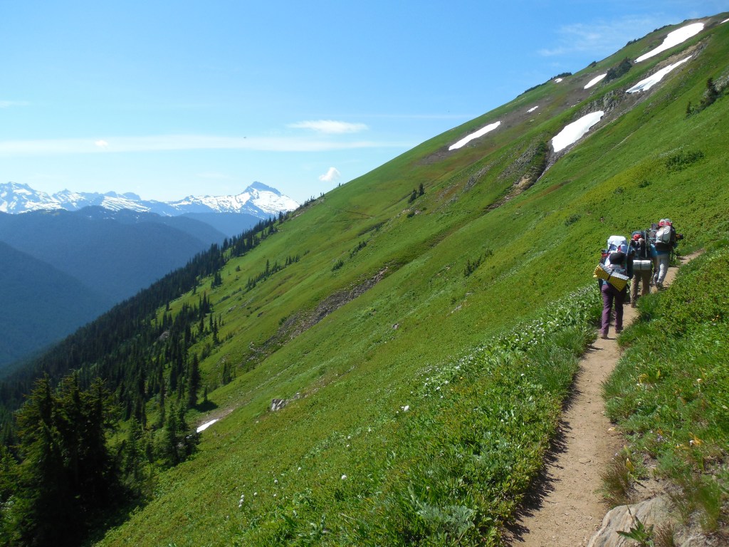
Naomi Peak Loop with Andrea – about an 8 mile loop that I didn’t even know existed! Had been up to Naomi Peak before but just as an out and back. Beautiful hike with great views of the Logan Valley area and beyond. Involved a bit of bushwhacking but luckily AllTrails told us when we were off route.
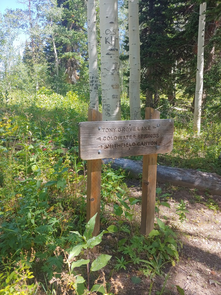
Parking lot at Tony Grove Lake – pretty empty when we started!Rock “amphitheater”First view of the summit (middle of photo.) In theory, the loop trail follows behind the ridge all the way back to the connecting Smithfield Canyon Trail.The backside of the loop trail resembled more of a game trail and required a bit of route-finding. As we were farther north, the temps were cool – all in all a beautiful day!Basically no signs on the entire trail until you get to the end. Then the ones we saw made no sense when you looked at the map. Weird.
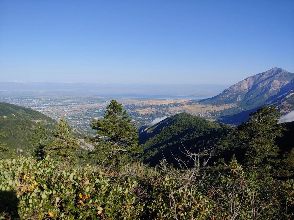
Lewis Peak via the North Ogden Divide Trailhead with Pam and Kathy – a little shorter version of the trail – about 11 miles roundtrip.
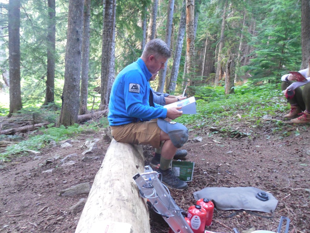
Standard Operating Procedure – Alison with her eyes closed. Whatever.Never know where to look for a selfie!
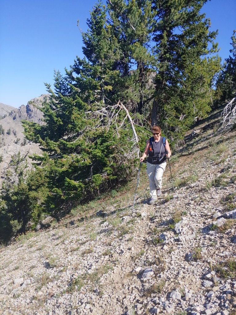
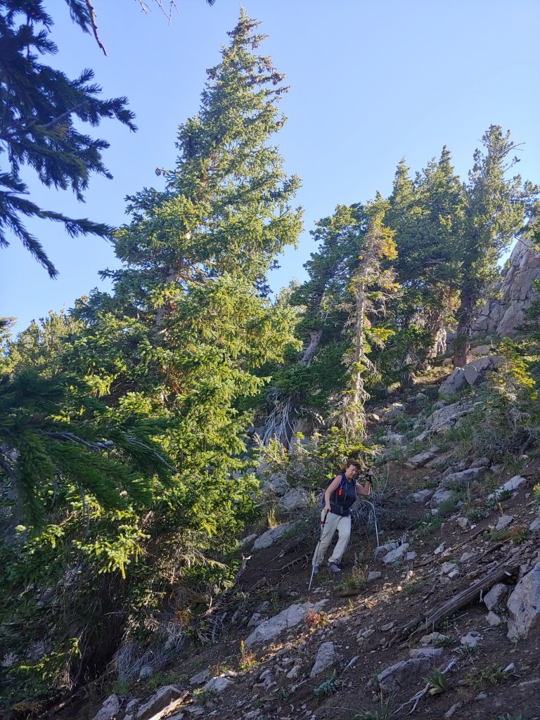
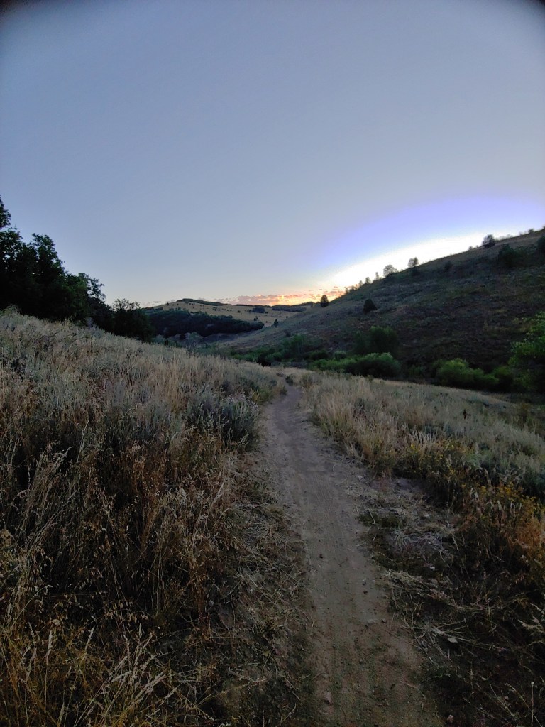
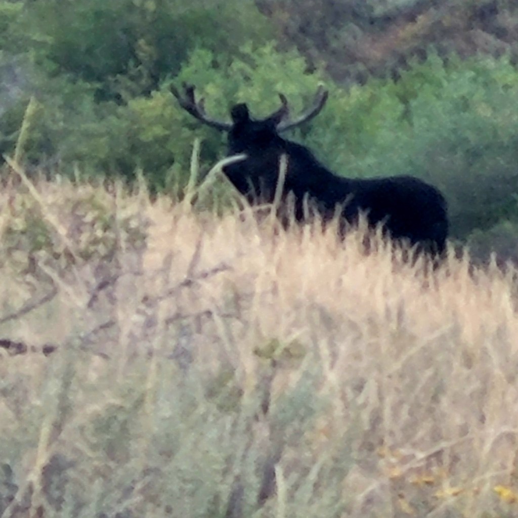
Middle Fork Wheeler Creek Trail with Andrea – about a 7 mile loop. Again, started in the dark and just as the sun was rising we saw a huge moose just off the trail. Andrea got a much closer picture than I did and when I showed it to Joel, he confirmed it was BIG!
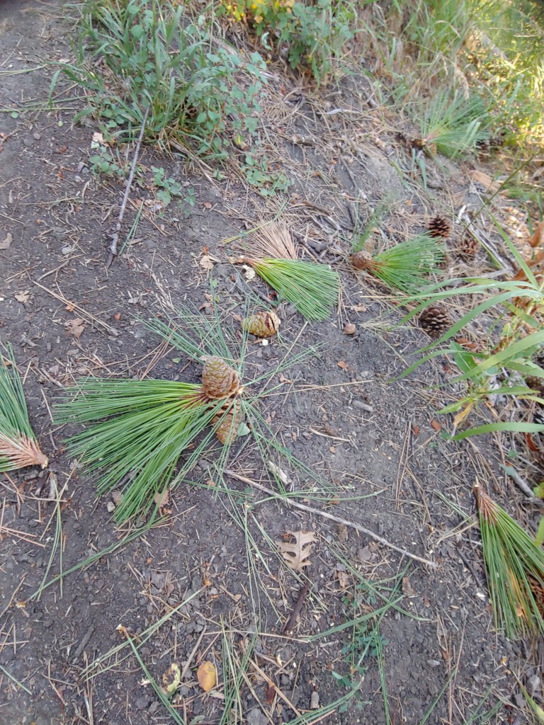
Moose is black blob standing in the middle of the trail.Photo didn’t blow up real well but we waited for this guy to wander up the trail.Stood underneath a pine tree on the trail and watched a squirrel strip off huge chunks of the branches and drop them down on the ground. Getting ready for winter!Beautiful Sunrise
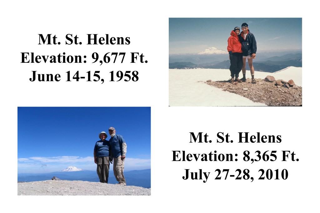
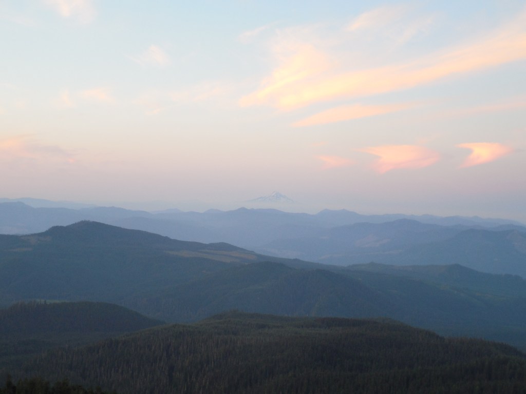
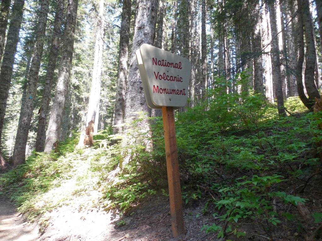
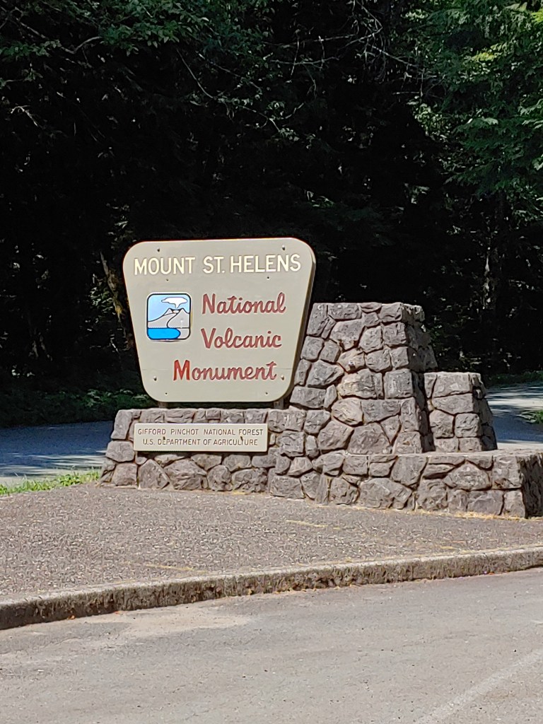
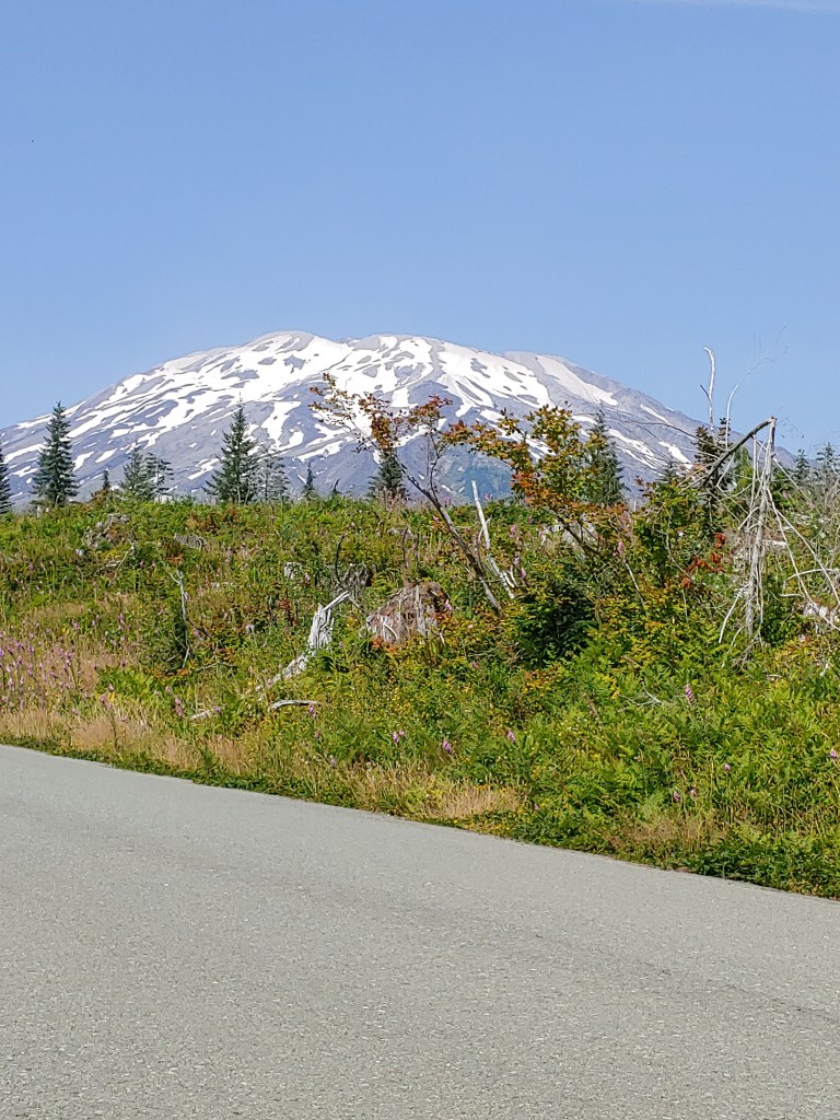
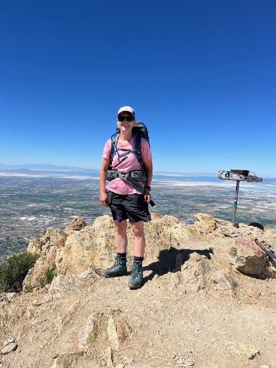
On my way back to Utah the stars aligned again and I found a lone, relinquished permit for Mount St. Helens on July 27th. With all the permits going to an online system I was not aware how quickly the 110 permits/day sold out. The permits for July opened up on June 1st and when I looked in mid-June, they were all gone. On a whim one morning when the cats chose to wake me up at 3:30am, I logged on and found two spots open for July 27th so I snagged one of them. Only some days later did I realize that that was the exact day that Mom and Dad climbed the mountain in 2010!
I must say a very noteworthy feat as they were both in their mid-70’s when they summited in 2010 … In fact, so noteworthy that I must publicly degree that they are going to hold onto the family age group award for peak bagging – after this climb there is NO WAY that I will repeat this in 15+ years! Maybe someone else in the family will step up???
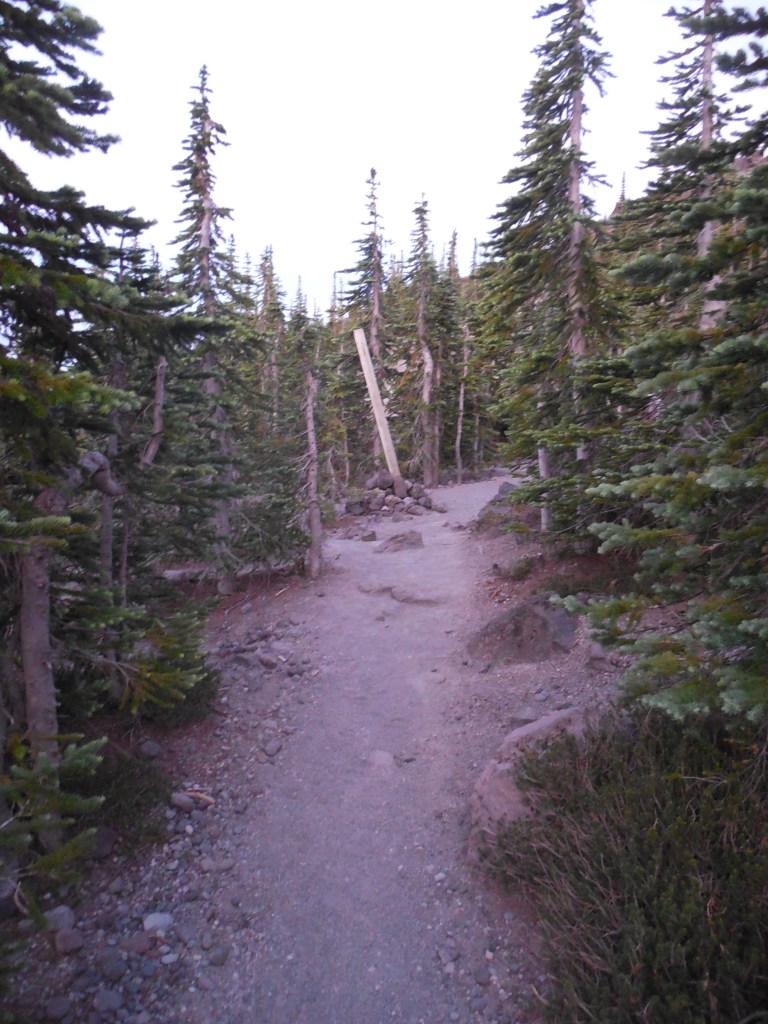
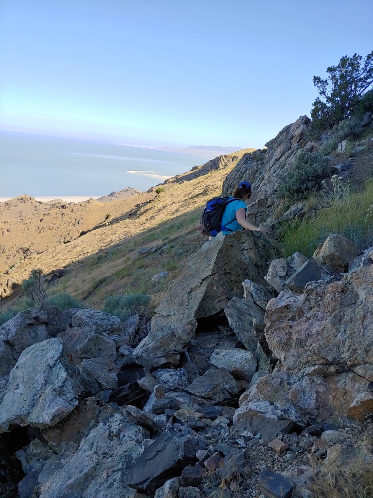
This was certainly not my most favorite climb … once you got done with the first 2 pleasant, forested miles and made your way up to the scree, ash and boulder fields, it was not a fun endeavor. In fact, almost the whole time I was moving uphill I was wondering to myself how in the world Mom and Dad managed to climb this beast!
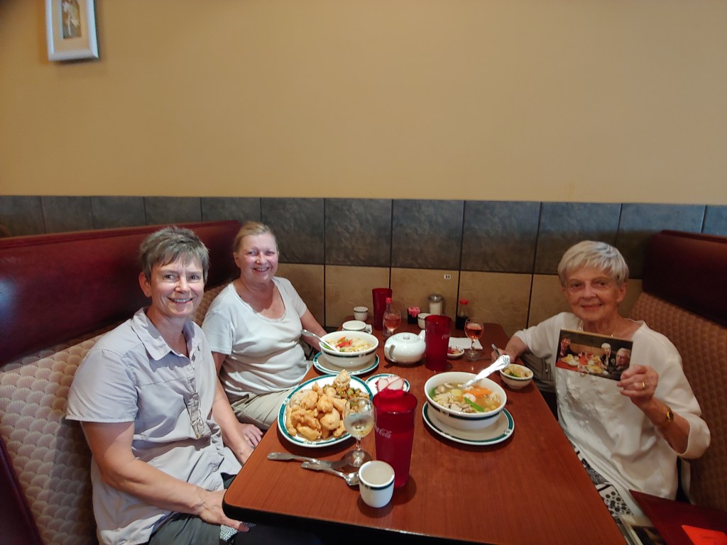
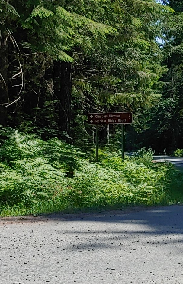
The evening before I stayed in the town of Woodland which was about an hour+ from the parking lot at Climber’s Bivouac trailhead. After a very filling meal of Chinese food with my friend Mary Jane and her daughter, Jan, it was off to sleep for a 2:30am wake up call.
Not sure why I look surprised/scared in this photo – maybe because of the enormous pile of food in front of me? Don’t worry, I took half of it back to the hotel!
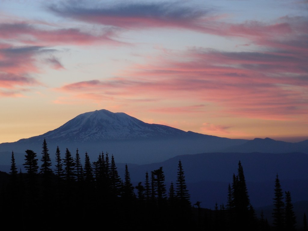
I left the trailhead at about 4:15am and was treated to an amazing sunrise over Mount Adams. Maybe if I am lucky Joel will consider including it in his 2023 calendar?
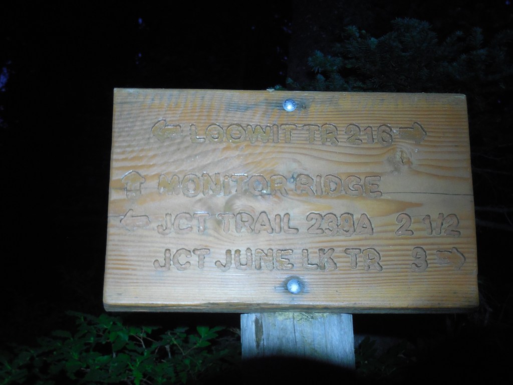
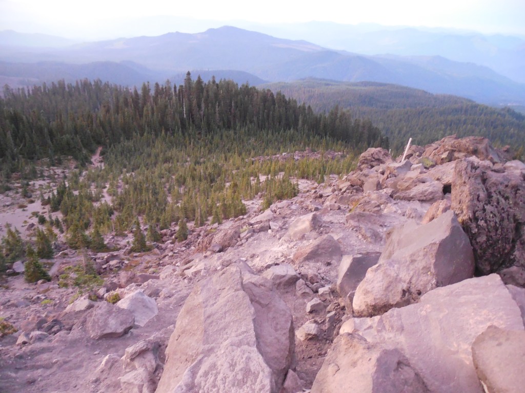
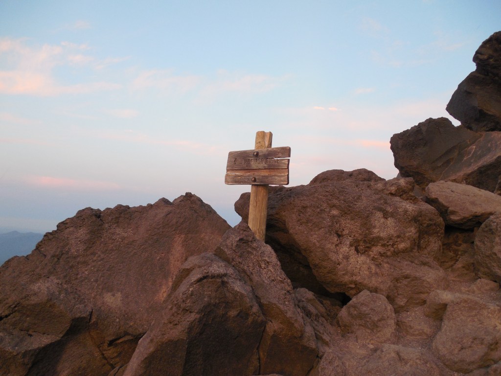
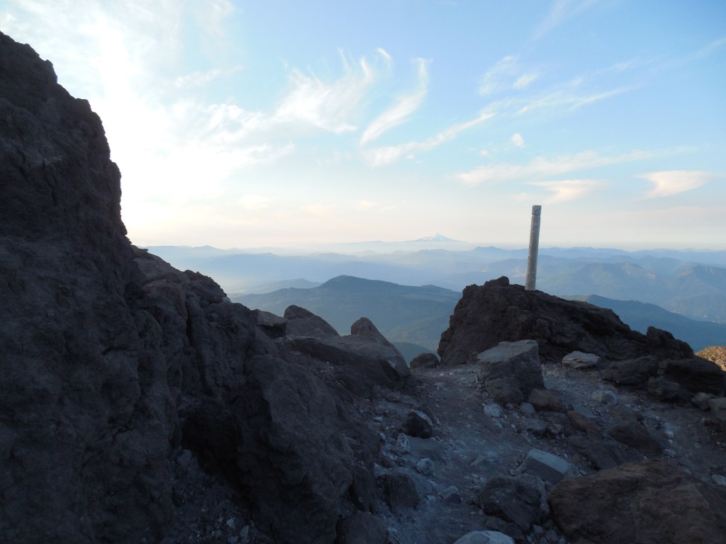
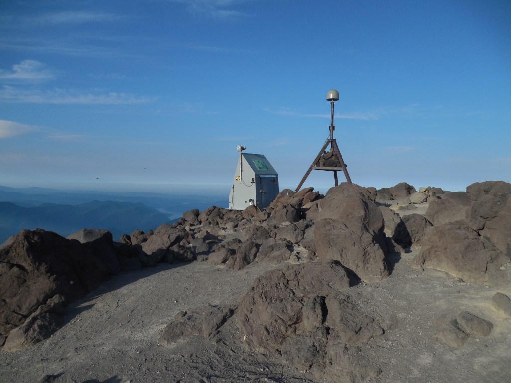
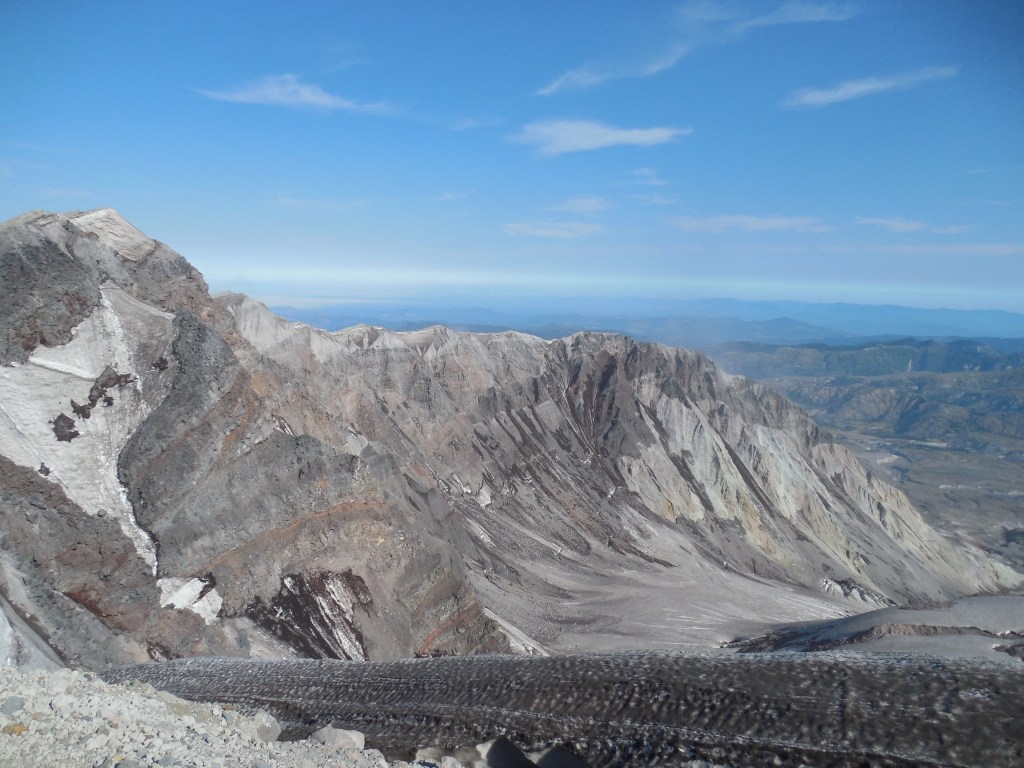
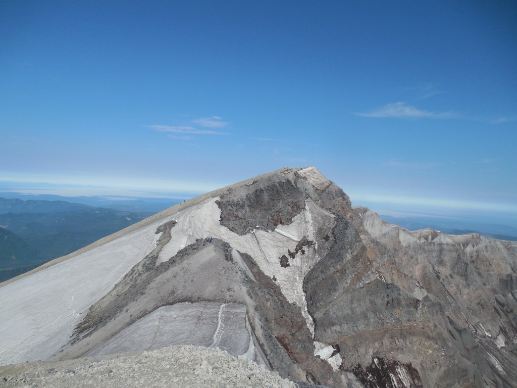
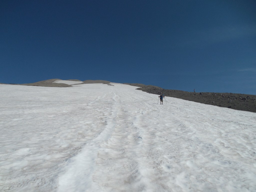
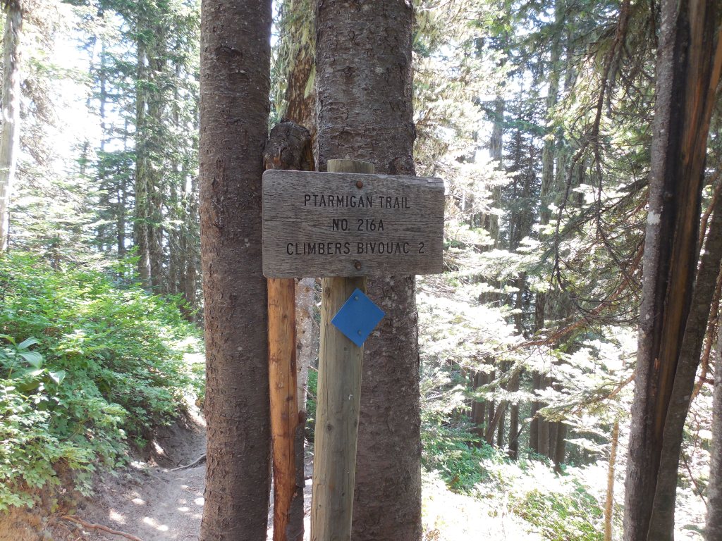
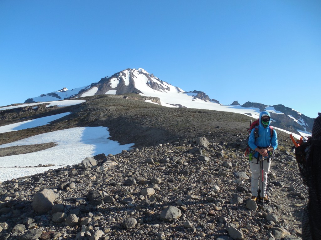
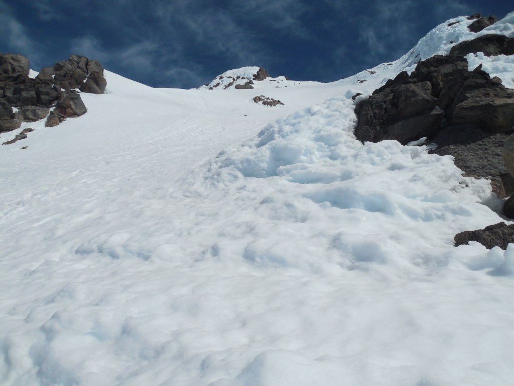
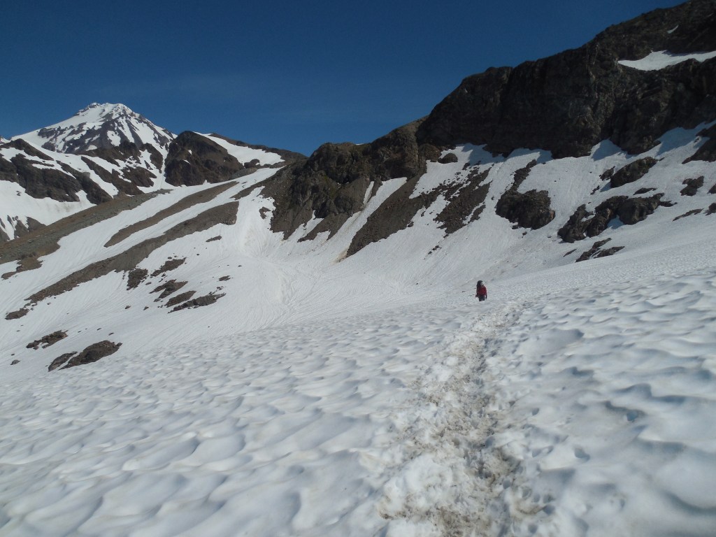
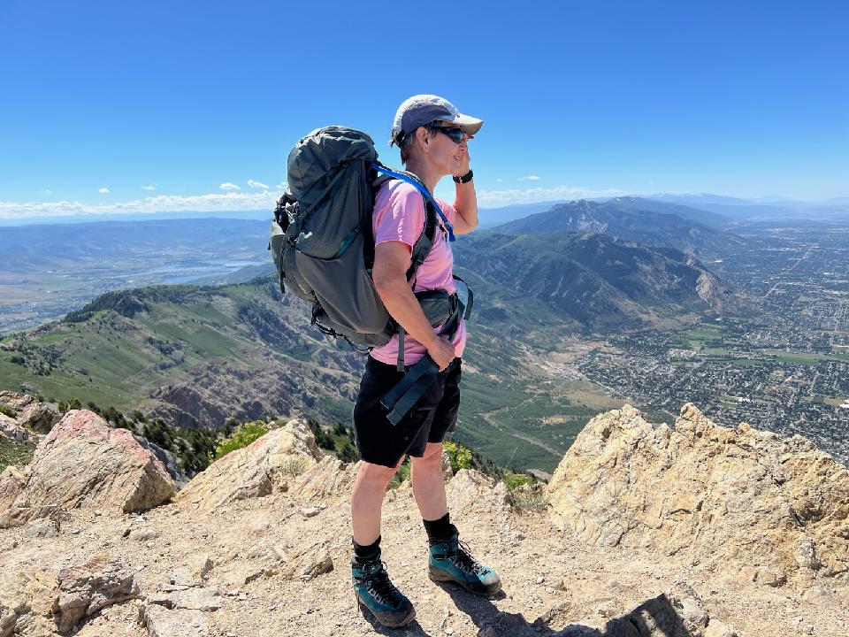
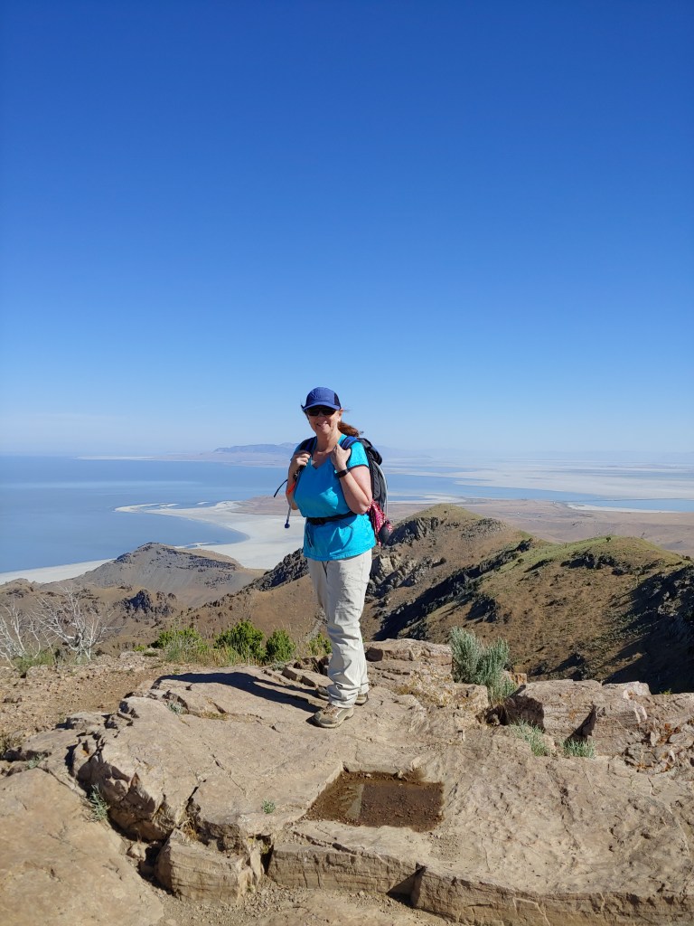
From the parking lot I took the Ptarmigan Trail for 2 miles to the junction with the Monitor Ridge Trail which was then a little over 3 agonizing miles to the summit.Once you leave timberline the trail is marked with large poles – quite easy to follow!Starting up the first boulder field to Monitor Ridge.A little hard to see but there is Mt. Hood on the horizon – I could also see Mt. Jefferson off to the right.Monitor Ridge is aptly named as there are several monitors on the ridge!
Once you pass through the boulder fields, you come upon what is fondly called the “Beach.” A very long, annoying slog up scree/volcanic ash where you take one step forward and slide two steps back. It seemed to just go on and on and on!
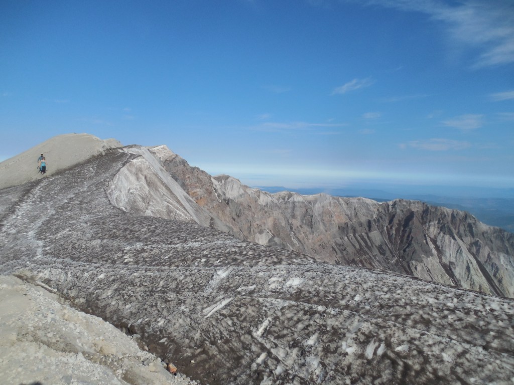
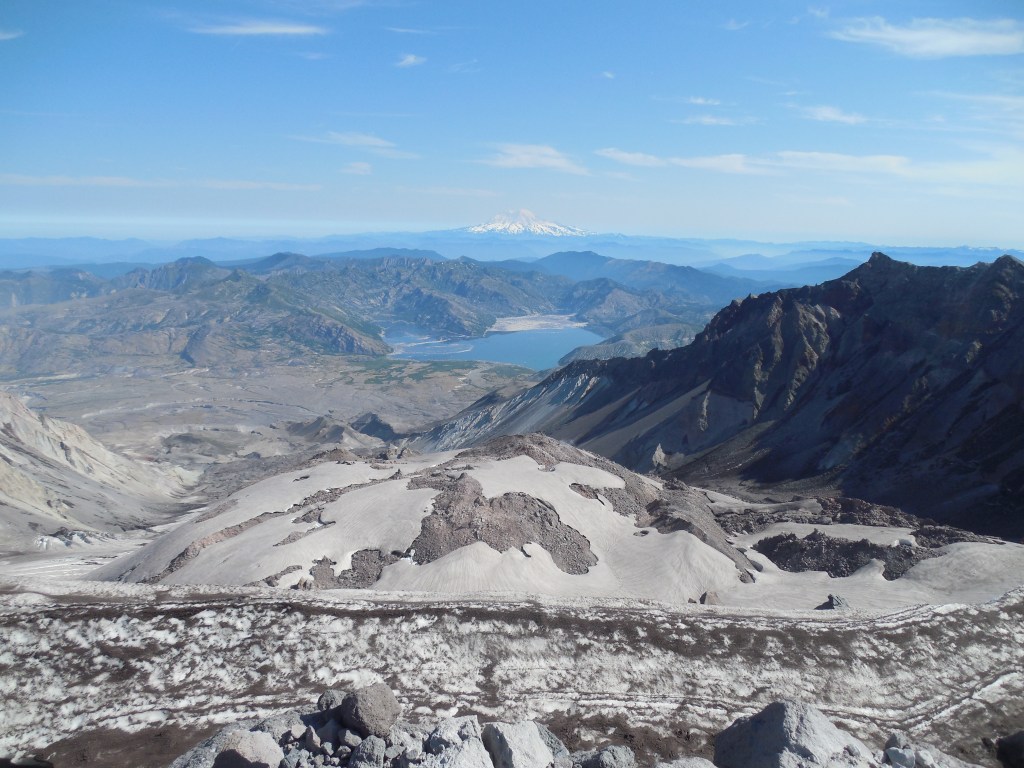
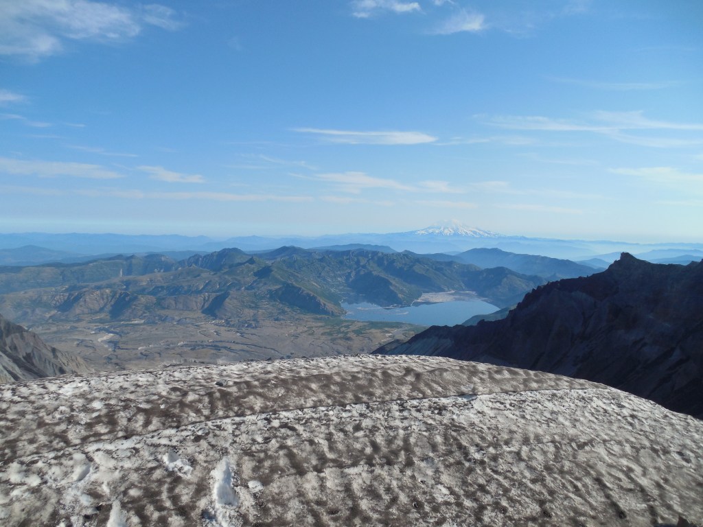
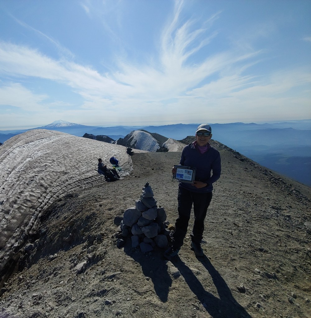
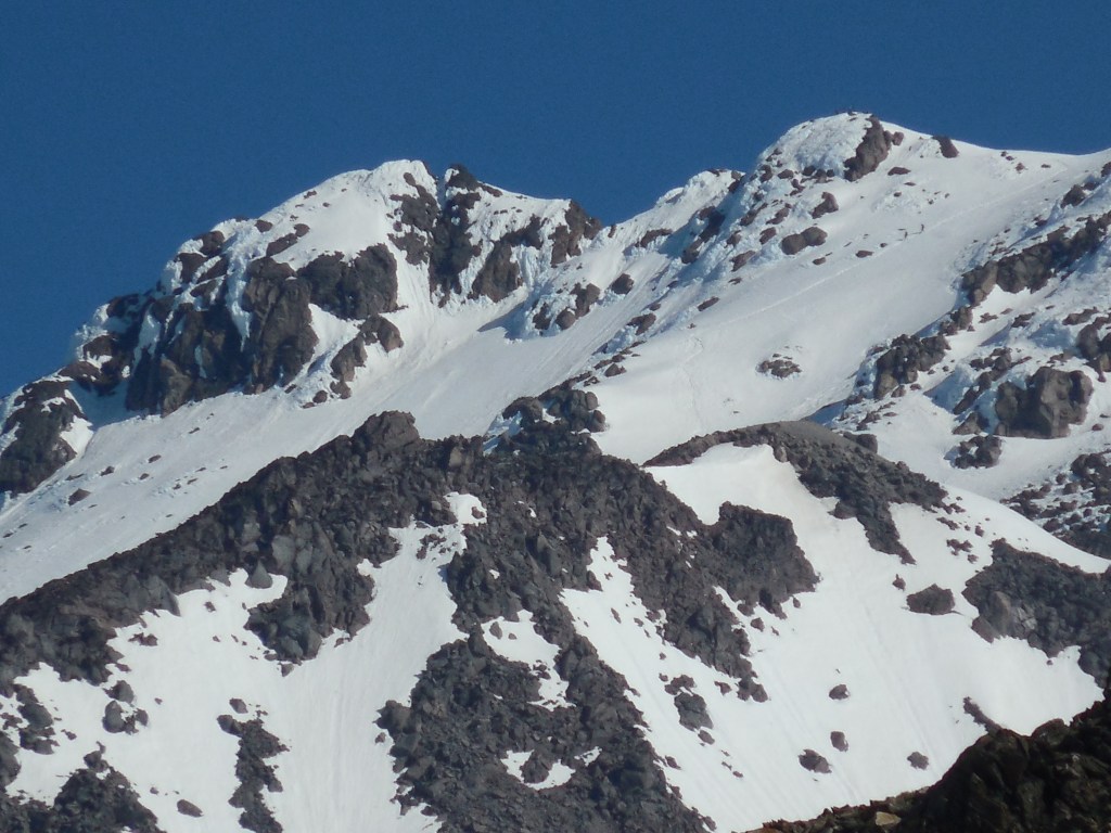
Lots of rockfall coming off this slope.To get to the true summit (highest point in the distance) you had to cross a few small snowfields – it was about 1/2 mile away.Lava dome which periodically had little puffs of steam coming out of it. Mt. Rainier in the distance.Footprints all over the cornice at the edge of the crater – just like the people that approach bison at Yellowstone and become finalists in the Darwin Awards!Summit shot with Mt. Adams in the background. Tried to replicate the shot in Mom and Dad’s photos but not in the cards that day.
On the way down I decided to be nice to my knees and glissade down for as long as I could. A couple other guys didn’t glissade but were running/boot skiing. Certainly the way to go! As I carried my ice axe and snow shell pants, I might as well use them.
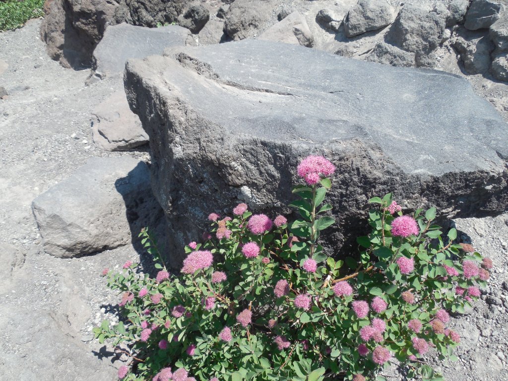
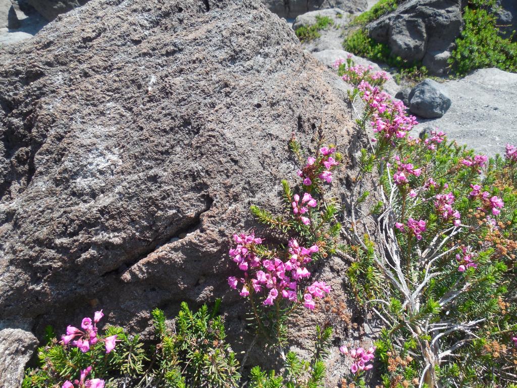
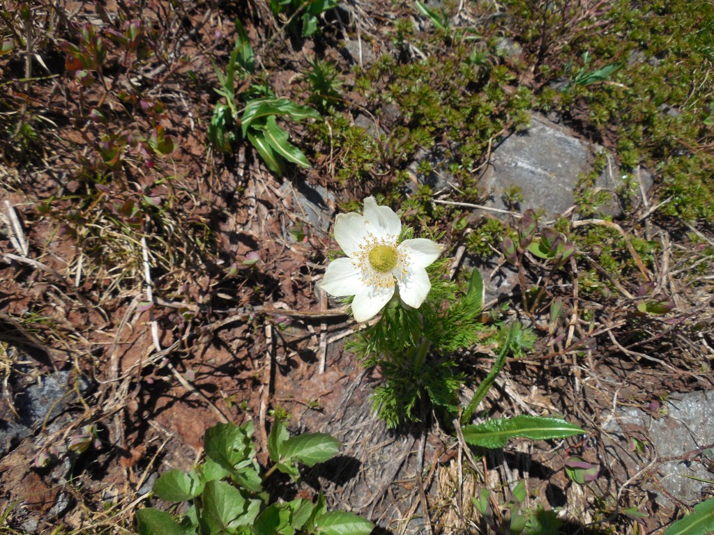
My glissade path on the left of the photo – lots of fun! The guy in the photo was sort of jogging/boot skiing down – didn’t look like as much fun as I had.This plant looks very similar to a variety of spirea that we have in our yard.Although I didn’t take a lot of flower photos, there was some very pretty pink heather that caught my eye on the way down.In the rearview mirror – never saw the mountain as I drove to the trailhead in the dark!
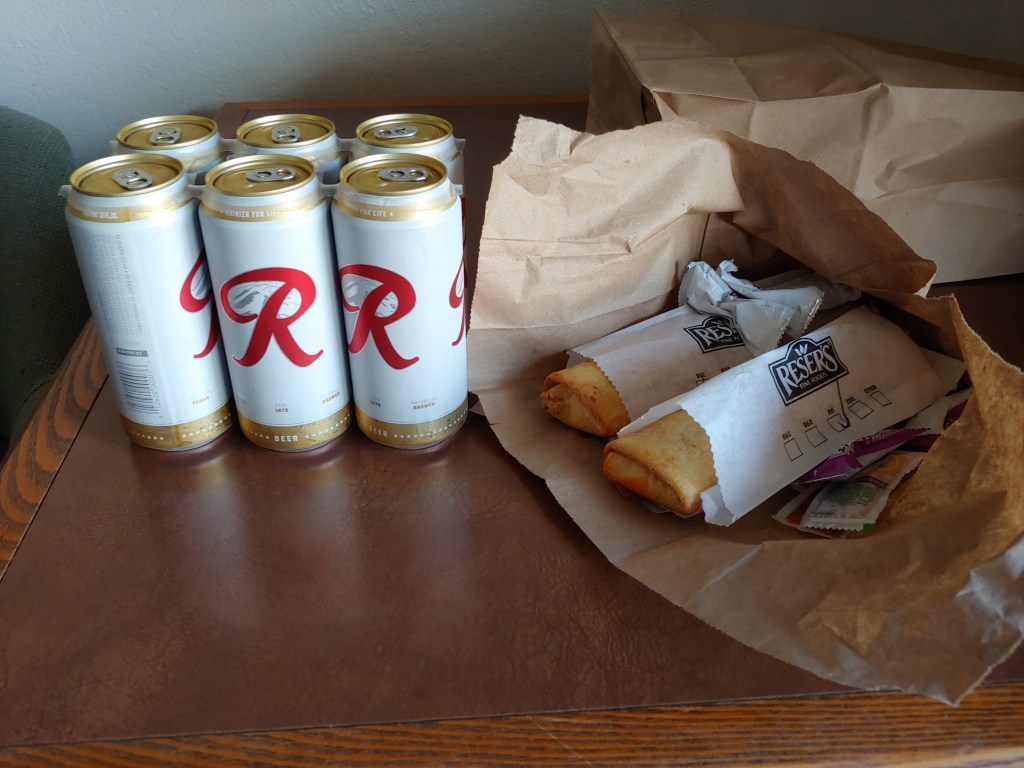
When I got back to the parking lot it was 91degrees so I quickly loaded the car, fired up the air conditioner and started driving back to Utah. I got as far as a small town past Hood River, OR called Wasco – not much there except a convenience store/deli. Another fast food dinner to celebrate the summit. And no, I did not drink all the beer – it went to Joel as a trip souvenir!
Odd sign in the hotel – reminded me of Law & Order episodes where a runaway/fugitive rents a cheap hotel room, chops off all his/her hair and then dyes it a new color!
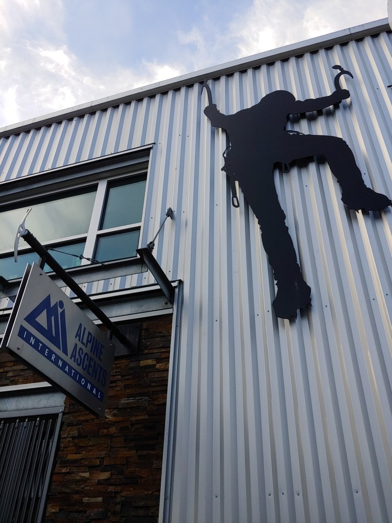
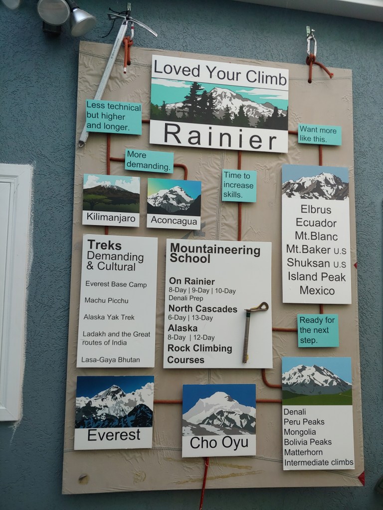
I guess one could say I am on a WA Volcano Quest – with 2 of the 5 (Rainier and Baker) out of the way, Glacier Peak and Mt. St. Helens fit well into the game plan for my 2 week vacation/trip to WA. Joel has basically hung up his mountaineering boots after our trip to the Alps so I was on my own. Glacier Peak, as the name suggests, has active glaciers and crevasse danger so I decided to take the trip with Alpine Ascents. A great guide service that I have climbed with multiple times.
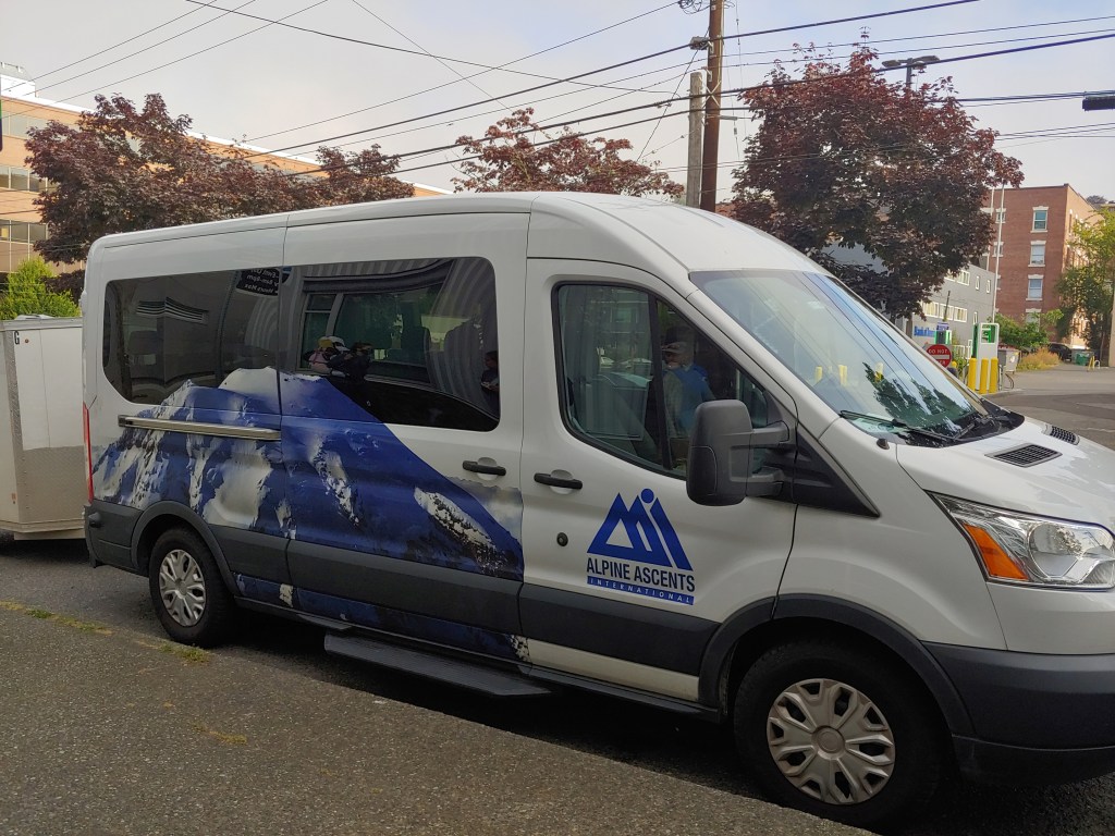
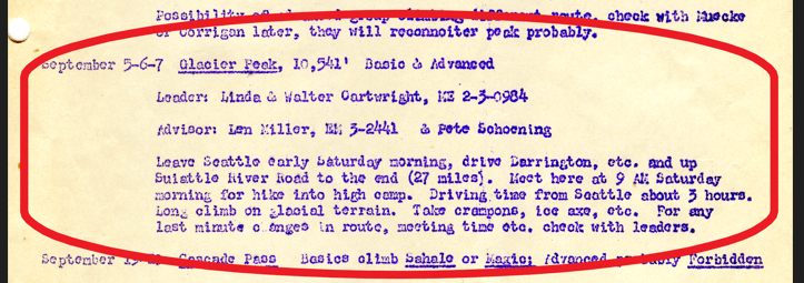
We met at 6:15am the morning of July 21st for a gear check and introductions. I was armed with photos and a class syllabus from when Mom and Dad took climbing courses at the UW – their climb of Glacier Peak was September 5 -7, 1958!
Mom on the summit of Glacier Peak with friend, Larry Loundenback and the ranger’s dog that spent the trip climbing with them – Dad had to carry him across one of the crevasses! Dad is photographer so no summit shots of him!
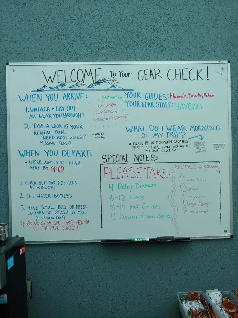
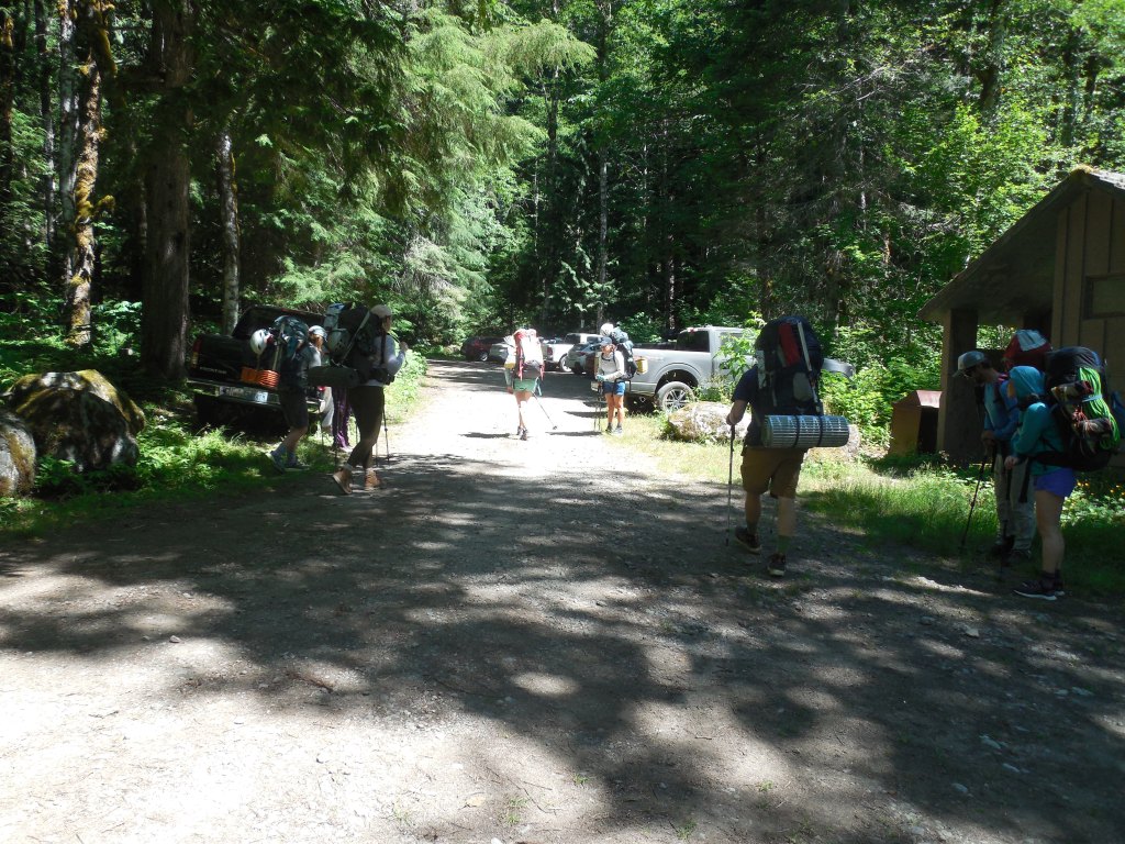
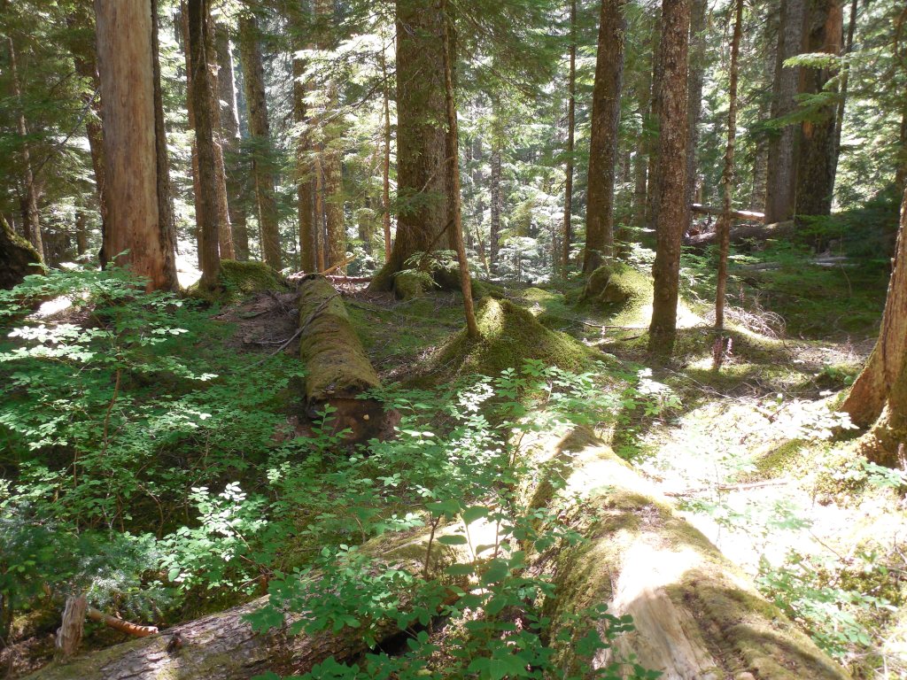
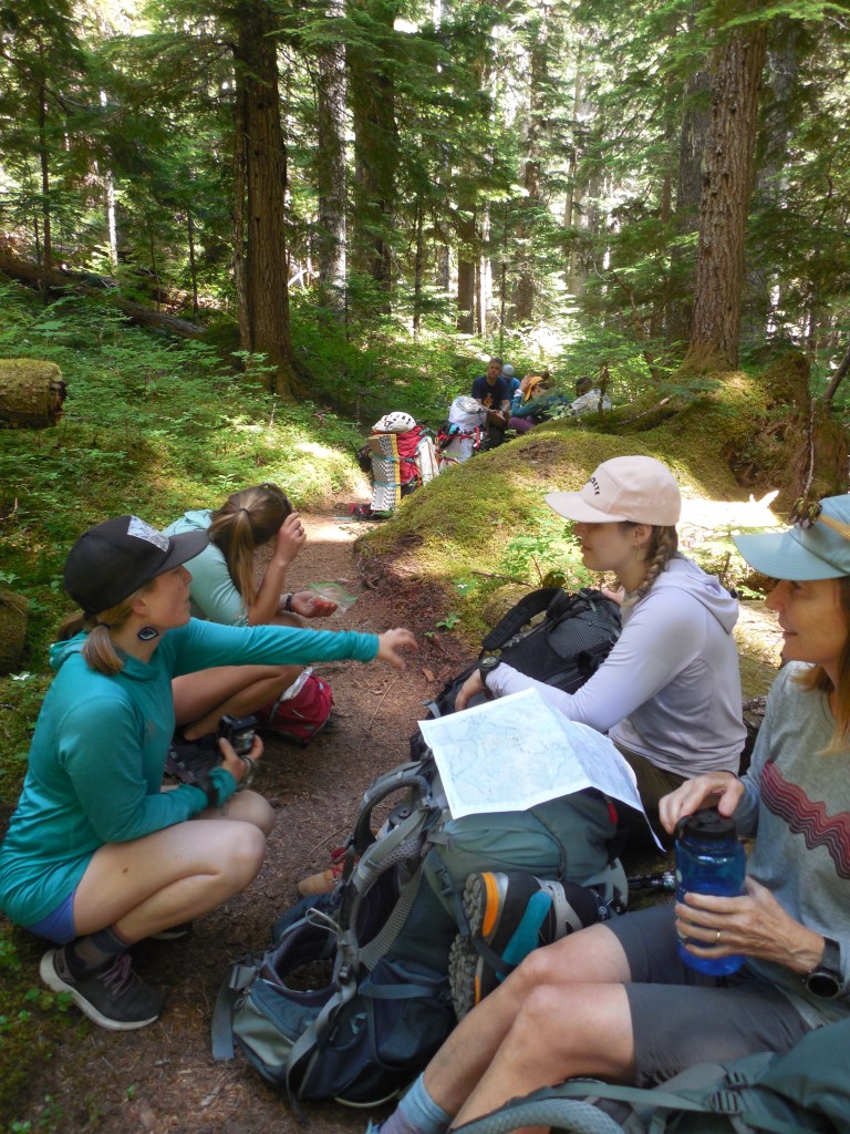
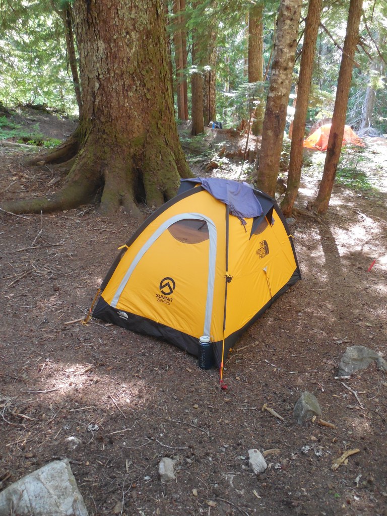
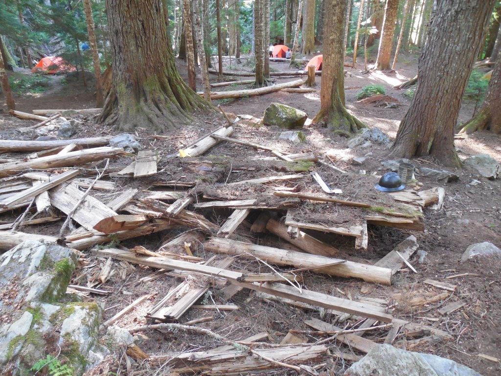
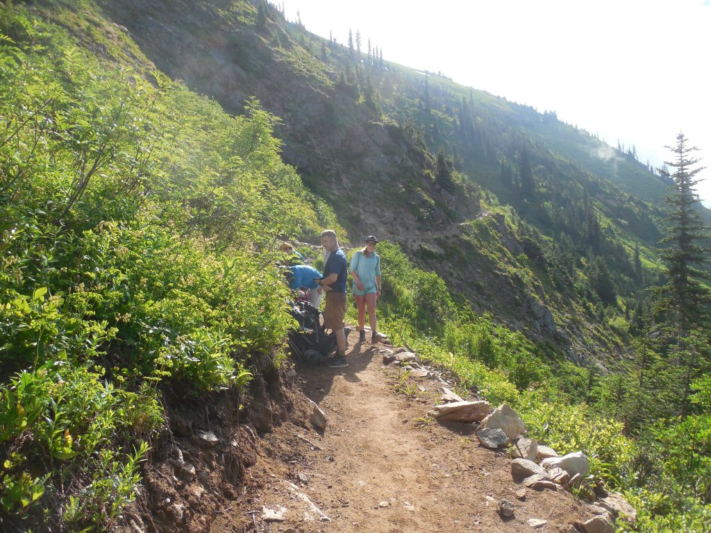
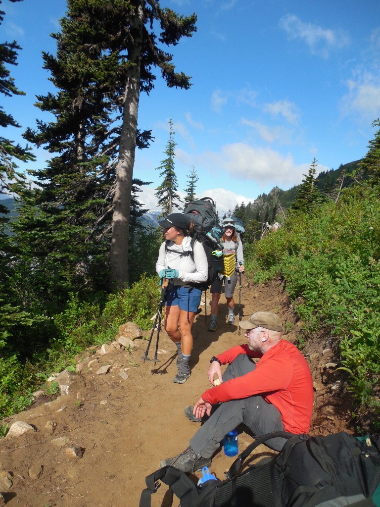
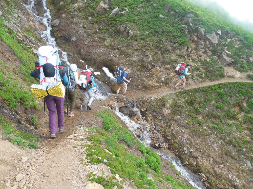
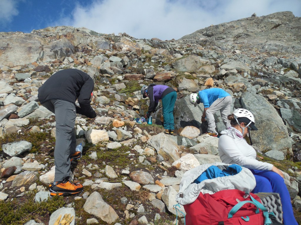
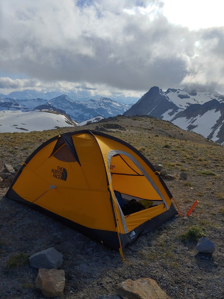
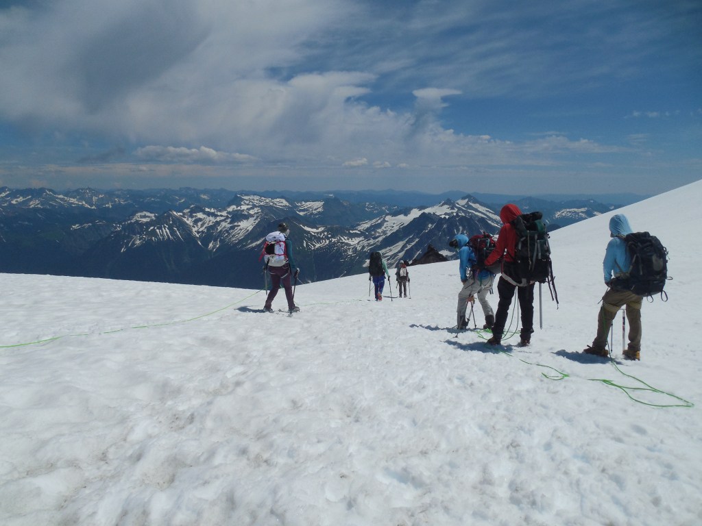
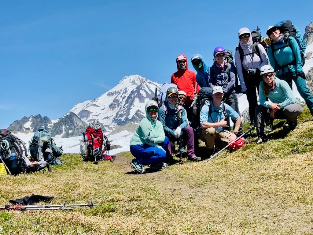
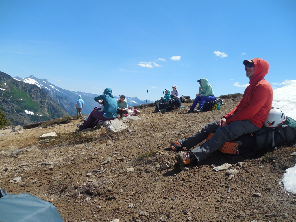
A total of 8 clients and 3 guides were on the roster with one client opting out at the last minute. I won the jackpot as they were handing out group gear and one of the guides asked who wanted a single tent – me, of course! The little bit of discomfort of carrying the whole tent, poles and stakes was clearly negated when I didn’t have to spend 4 days with a new “friend.” After the gear check we loaded up the van and trailer and drove about 3 hours to the trailhead of the North Sauk River Trail. We followed the trail for about 5 miles and set up camp at the now-defunct, Mackinaw Shelter.
Quick break and map consult.Not much of a shelter – this is all that remains of the Mackinaw Shelter. There were lots of nice campsites near the river – several Forset Service Trail Maintenance teams were using this as their basecamp.One of the clients, David, reading about Mom and Dad’s climbing adventures in the book I put together. An able climber, he has summitted Denali, Kilimanjaro, Aconcagua and has his sights set on the AT and PCT next year and Everest in 2024!
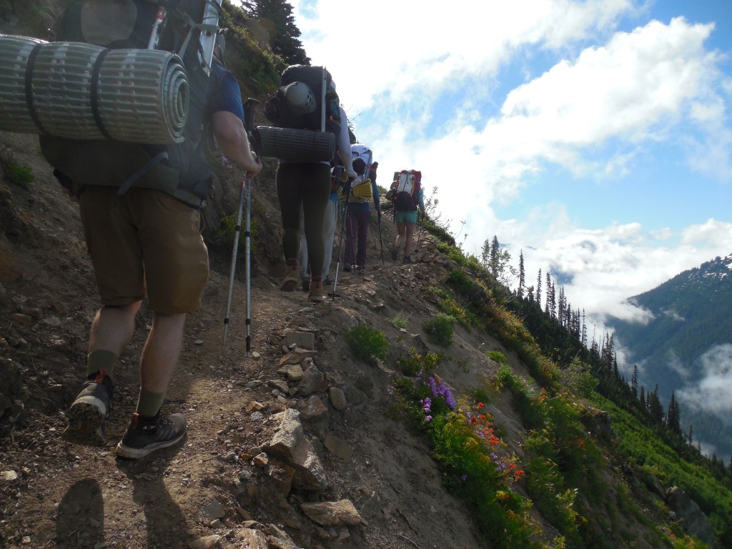
Setting out on Day 2 we immediately hit the 24 dreaded switchbacks that took us to the junction of the Pacific Crest Trail and White Pass. The wildflowers were in full bloom and it looked like the hills had been painted!
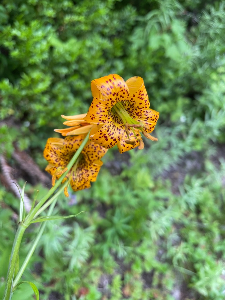
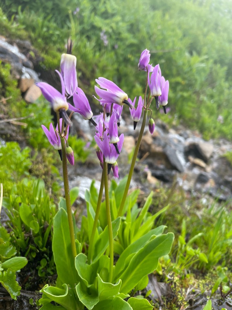
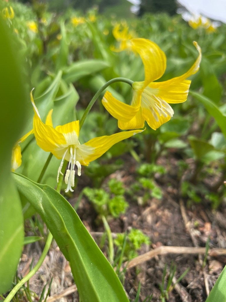
Tiger Lily – photo Brooke WarrenShooting Star – photo Brooke WarrenGlacier Lily – photo Brooke WarrenEx- nuclear submariner, Dan was interested to hear that Dad was on the USS Cutlass.White Pass is just around the corner.
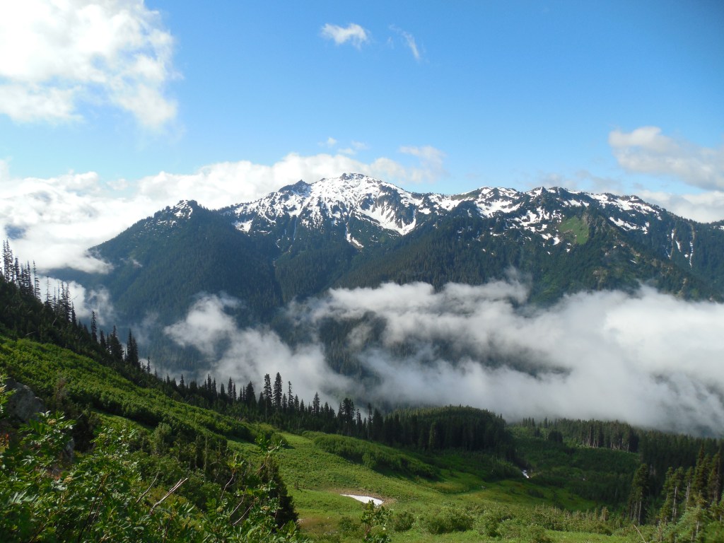
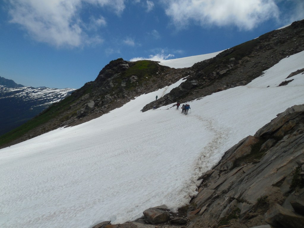
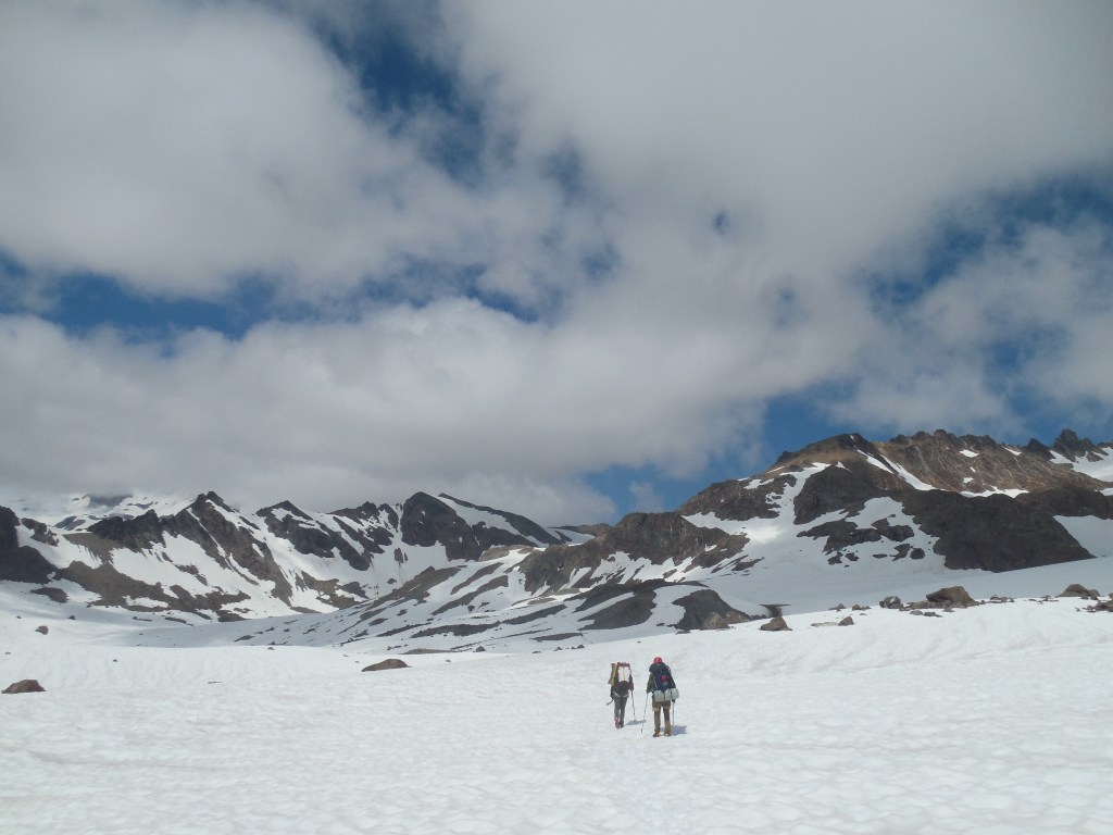
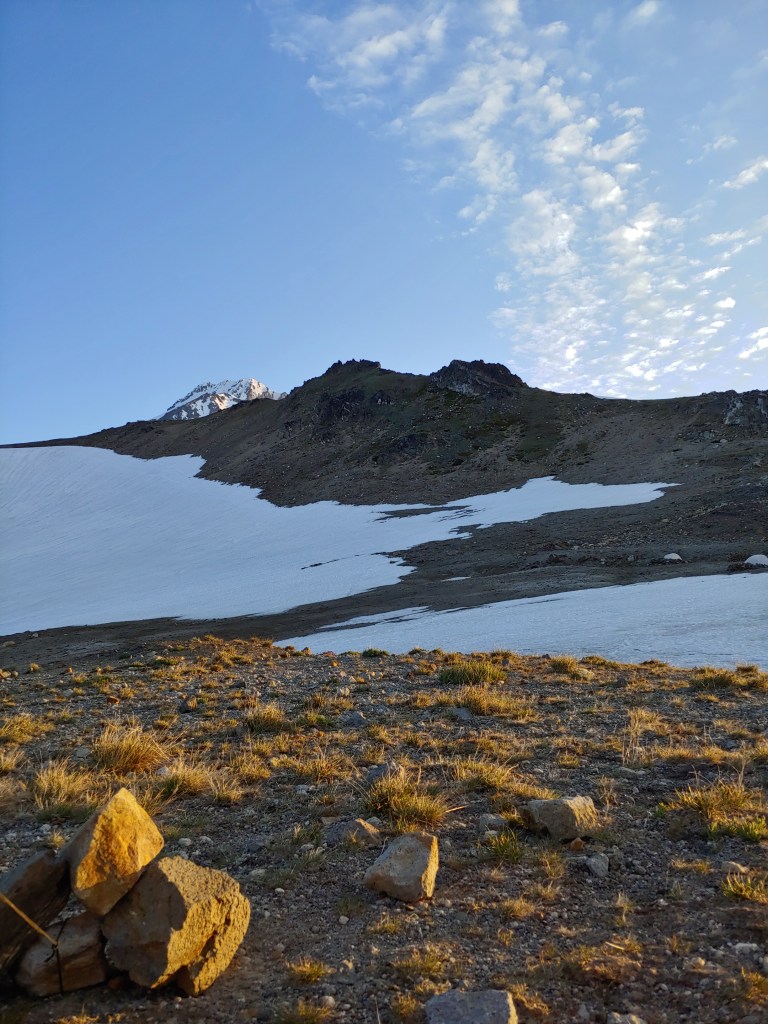
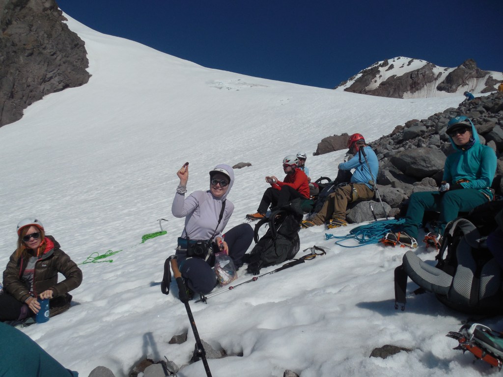
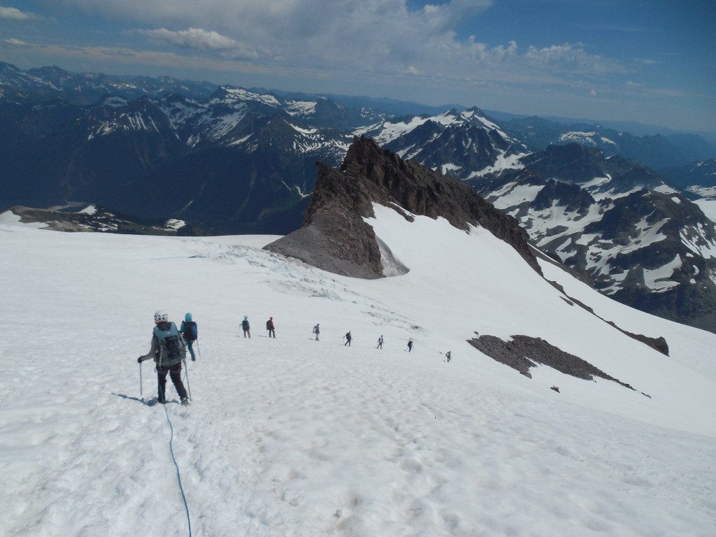
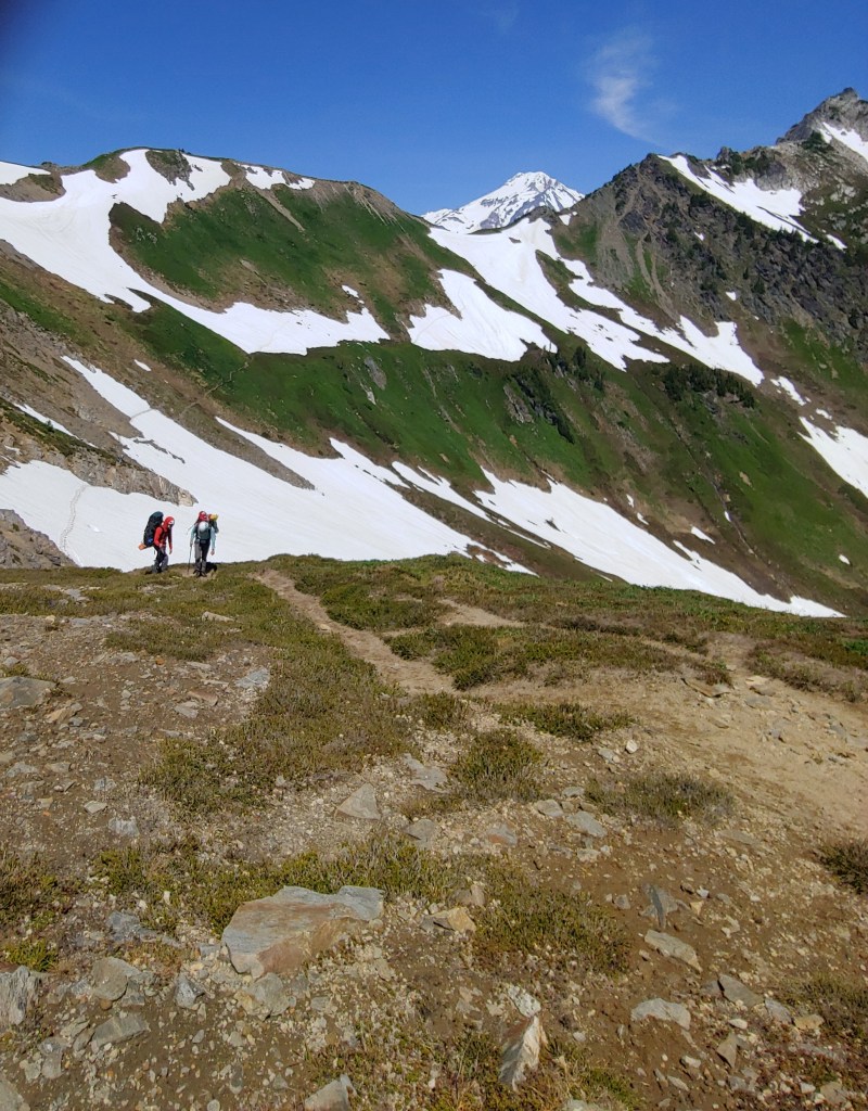
After taking a break at White Pass, we traversed across White Mountain towards the White Chuck Glacier. Above the White Chuck Glacier we found tent sites at an area called Glacier Gap. It had been cloudy, foggy and windy the whole day with a few intermittent sun breaks. Because of the cloud cover, we never actually saw Glacier Peak until the evening when the clouds finally passed by. A 10 hour day and everyone was pretty tired but excited for our “summit” attempt the next day.
Traversing across White Mountain.Time to remove the crampons – still snowy but not much of a slope to deal with.Time to fill the water bottles.A room with a view!First glimpse of Glacier Peak – summit is middle “bump.”
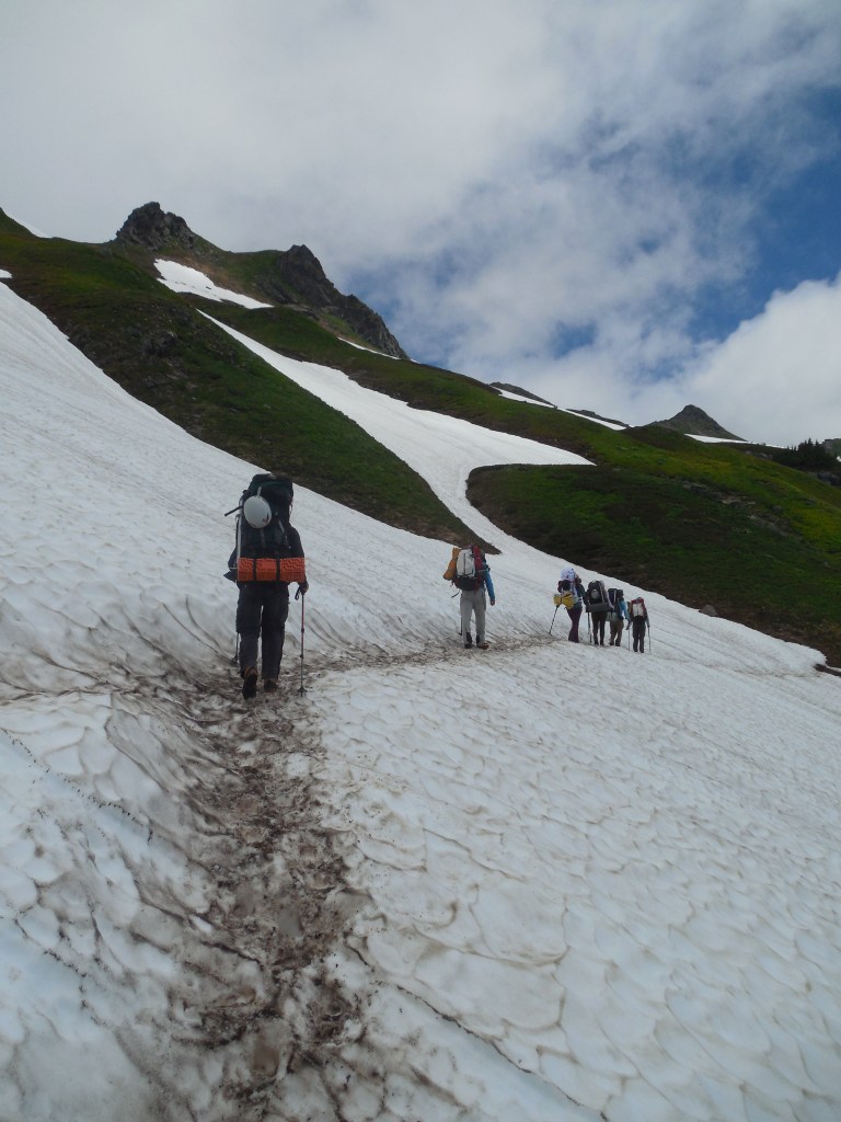
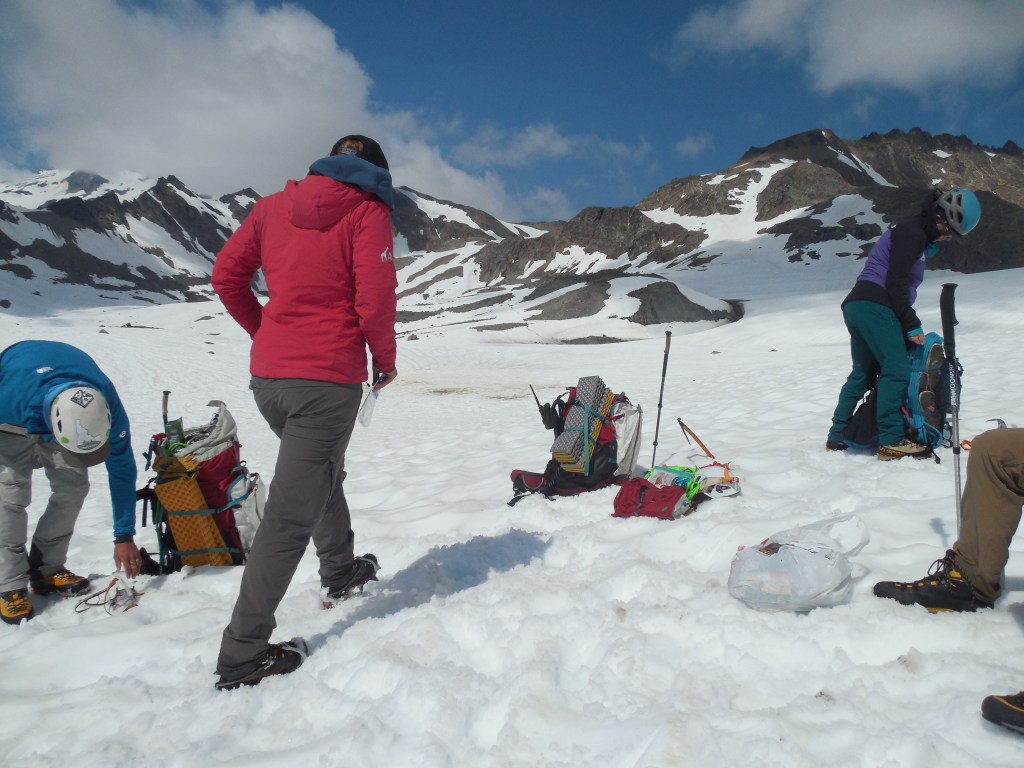
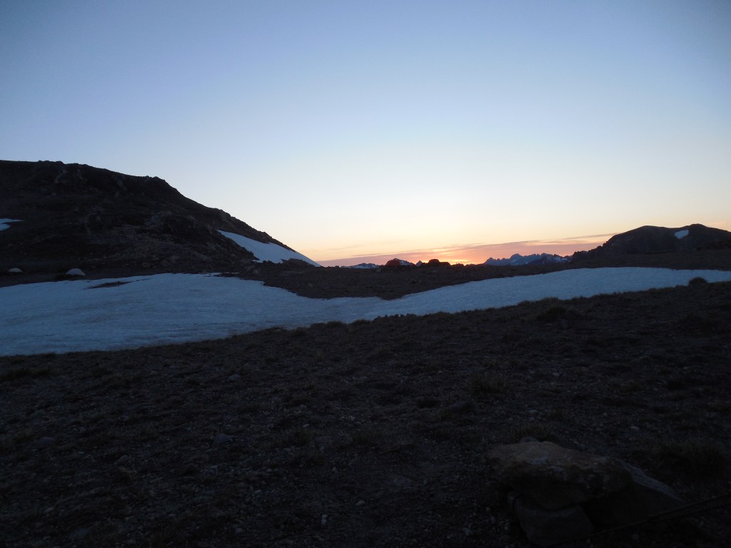
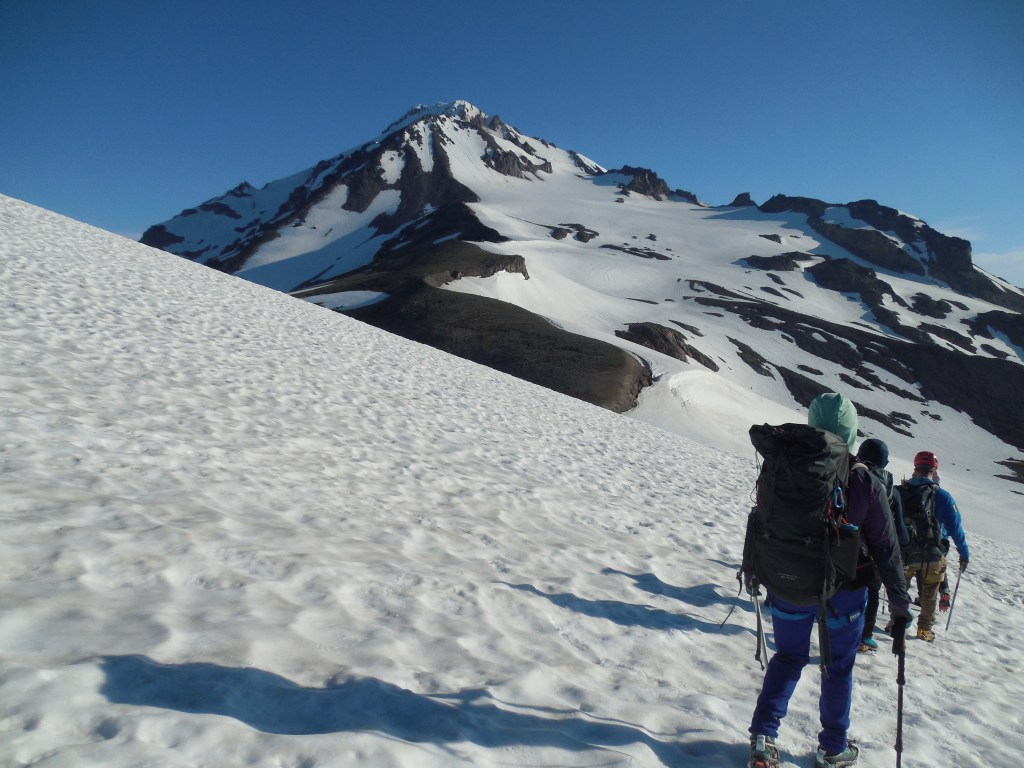
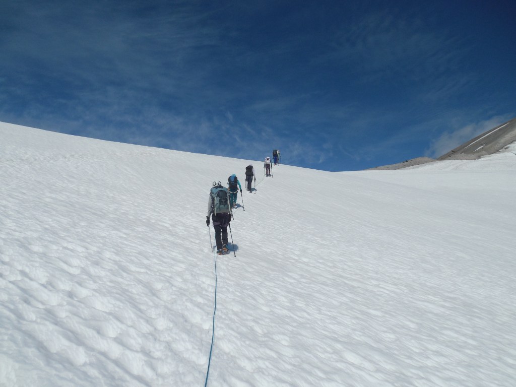
Not really classified as an “Alpine Start,” we headed out from camp at around 7:00am. The snow was starting to get pretty slushy as the overnight temps were close to 40degrees but the guides felt it would be less dangerous as there were a couple clients that were not real comfortable with their ice axes and crampons yet.
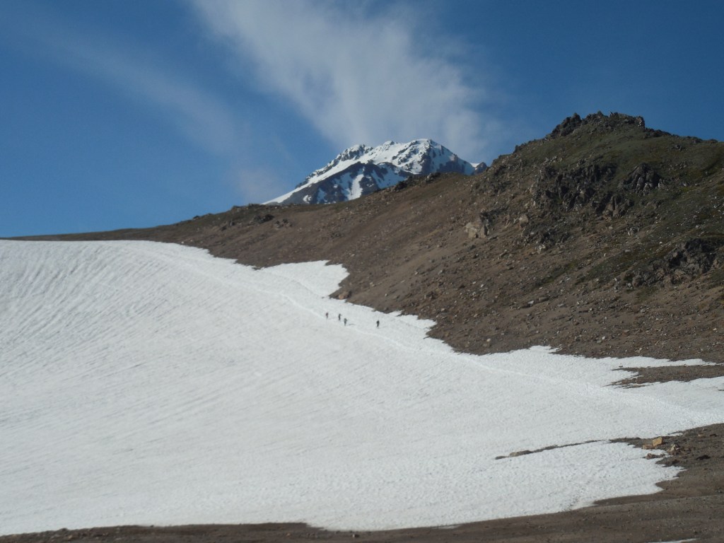
Sunrise at “basecamp.”The summit looks so far away!Anyone want a Shot Blok?The trail follows the scree/ash slope to where it ends (upper middle of photo) and then moves back over to the snow on the left before the final summit. Sort of annoying having to don and doff the crampons so many times!
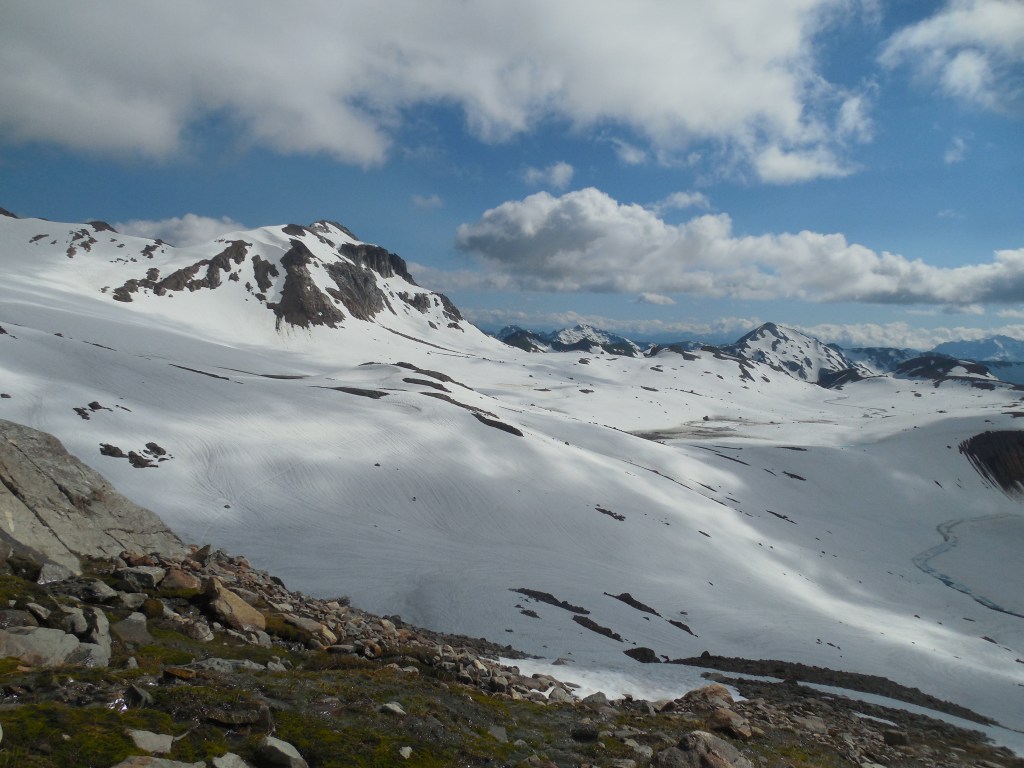
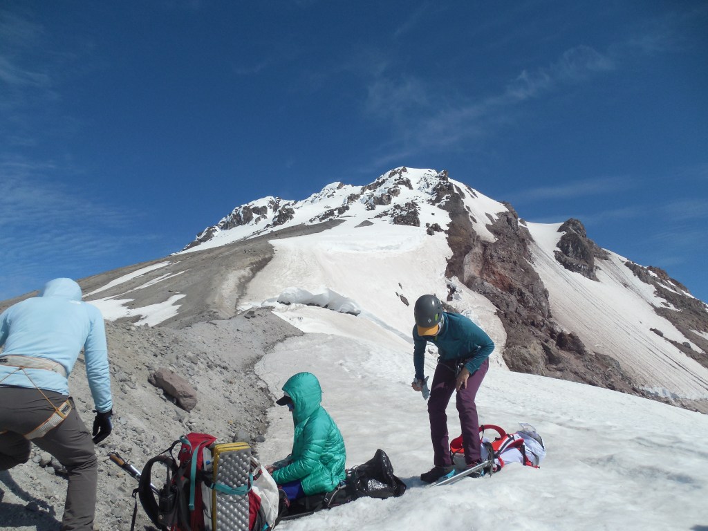
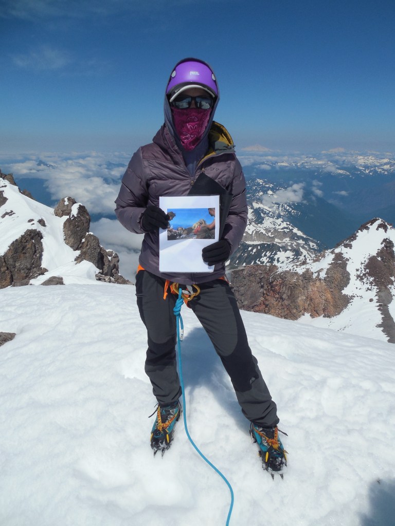
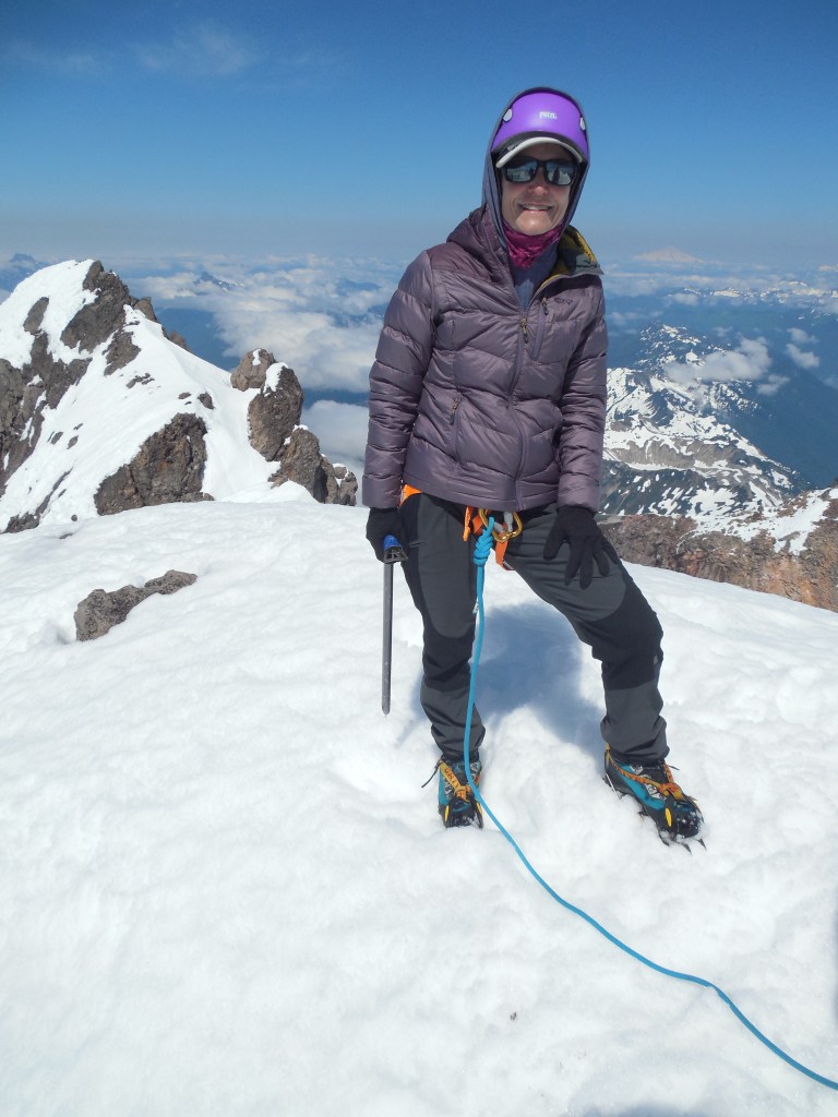
From basecamp to the summit was about 3 miles and 3000′ elevation gain – not too bad until you get to the last 0.7 mile where you gain close to 1500′ elevation! Everyone made it and after a bunch of photos and snacks, we headed back to camp.
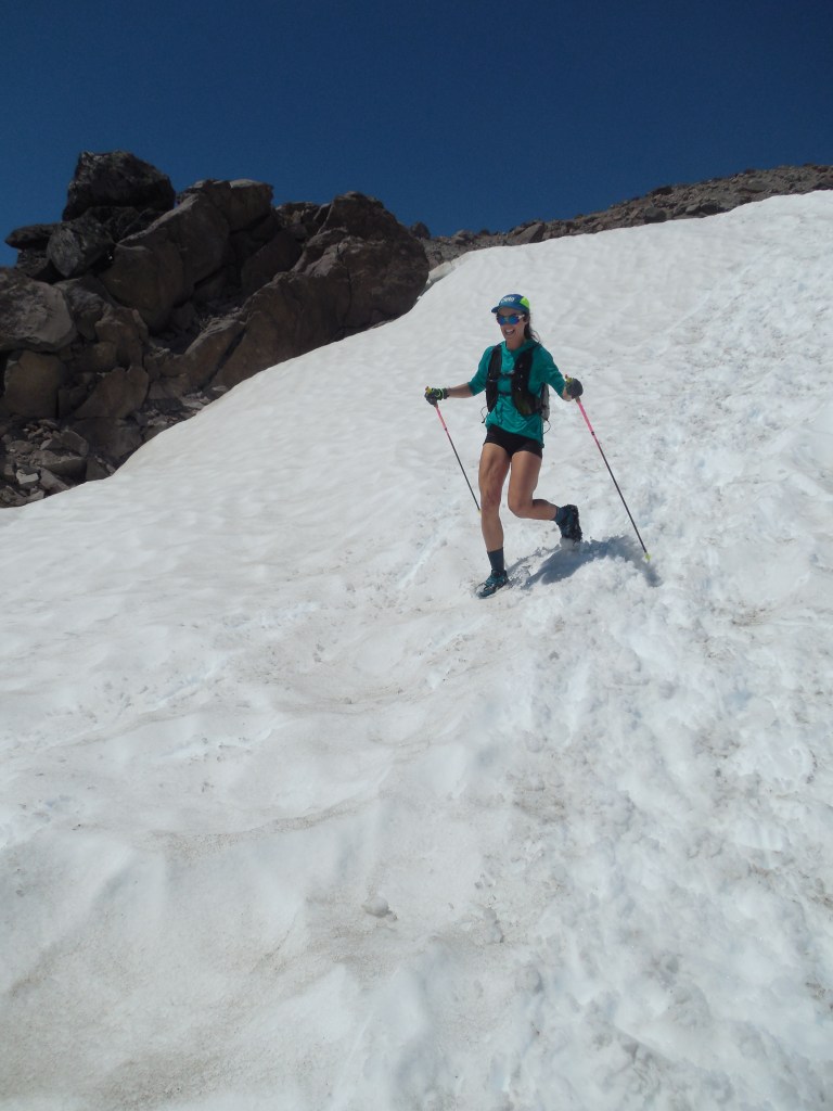
This is a gal who works for Alpine Ascents (Tara Fraga) that we saw as we were descending – she was on her way up to the summit and then she passed us coming down … pretty much running all the way. Although not official yet, she was in the process of setting the FKT (fastest know time) for a car-summit-car trip for women. She did it in just over 8 hours … and we took almost 5 days – YIKES!Coming down the final snow slope to camp.
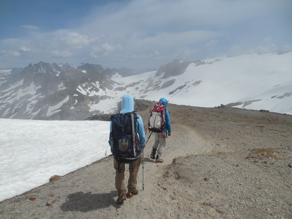
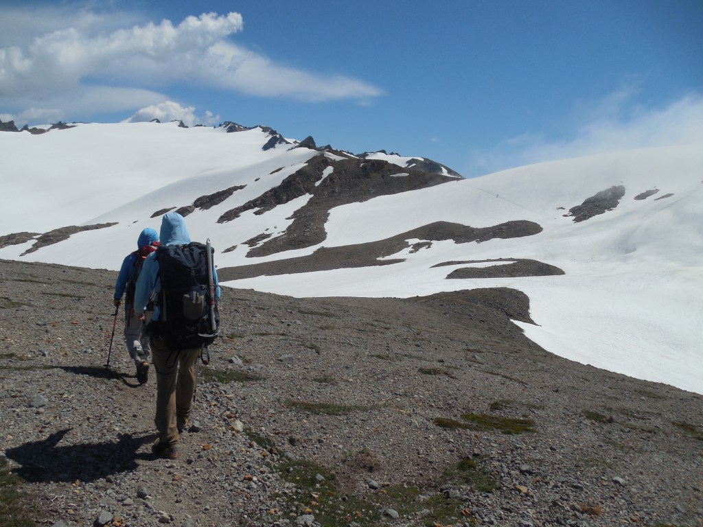
We took our time the following day, moving back down to the Mackinaw Shelter – although another fairly long day, it put us in a good position for the next morning’s hike to the van.
Team shot with Glacier Peak in the background.This was taken on the morning we hiked out with the telephoto lens – you can see two climbers coming down from the summit and their eventual trail back down to the rocks.My reward when I got back to the hotel in Seattle. A big bag of Dick’s fries and a vanilla milkshake. Not the suggested meal from Mom and Dad at the French restaurant but I don’t think the employees at Dick’s cared if I smelled or looked bad!
All in all a great trip – This was the second longest approach (32 miles roundtrip) to a summit behind Gannett Peak (50 miles roundtrip) but the rewards were amazing and I would say it was easily in my top 5 favorite US peaks.
The stars seemed to align when a trip to visit Mom and Dad coincided with a 40 (+2) Year Sammamish High School Reunion, a climb of Glacier Peak, a visit to a friend from my Alaskan Malamute past and a climb of Mt. St. Helens.
After many years of asking about getting some of his slides scanned, I decided to load up my scanner and attack the over 5,000 slides that my dad has. I think even a bigger task than the scanning is looking at the slides, may of which were 60+ years old, and trying to decide which ones to save and scan. We had several “viewings” during the four days I was there but in the end I only got about 10% scanned – UGH! I foresee many more trips in the future!
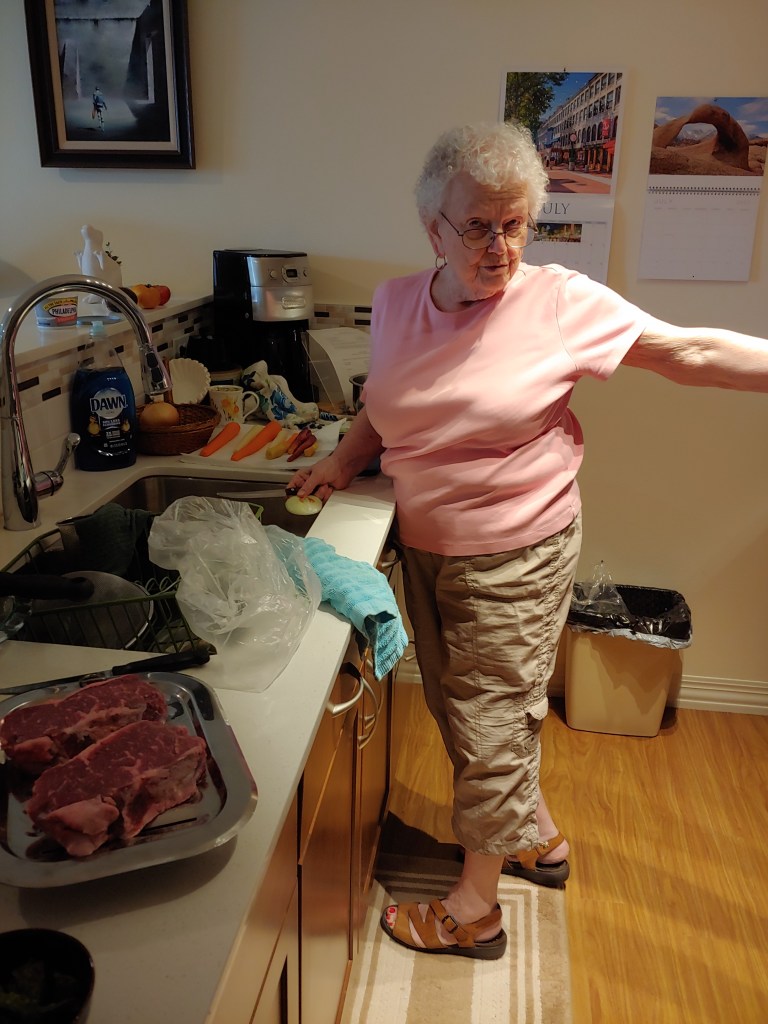
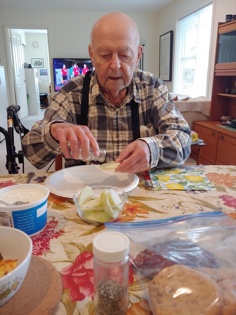
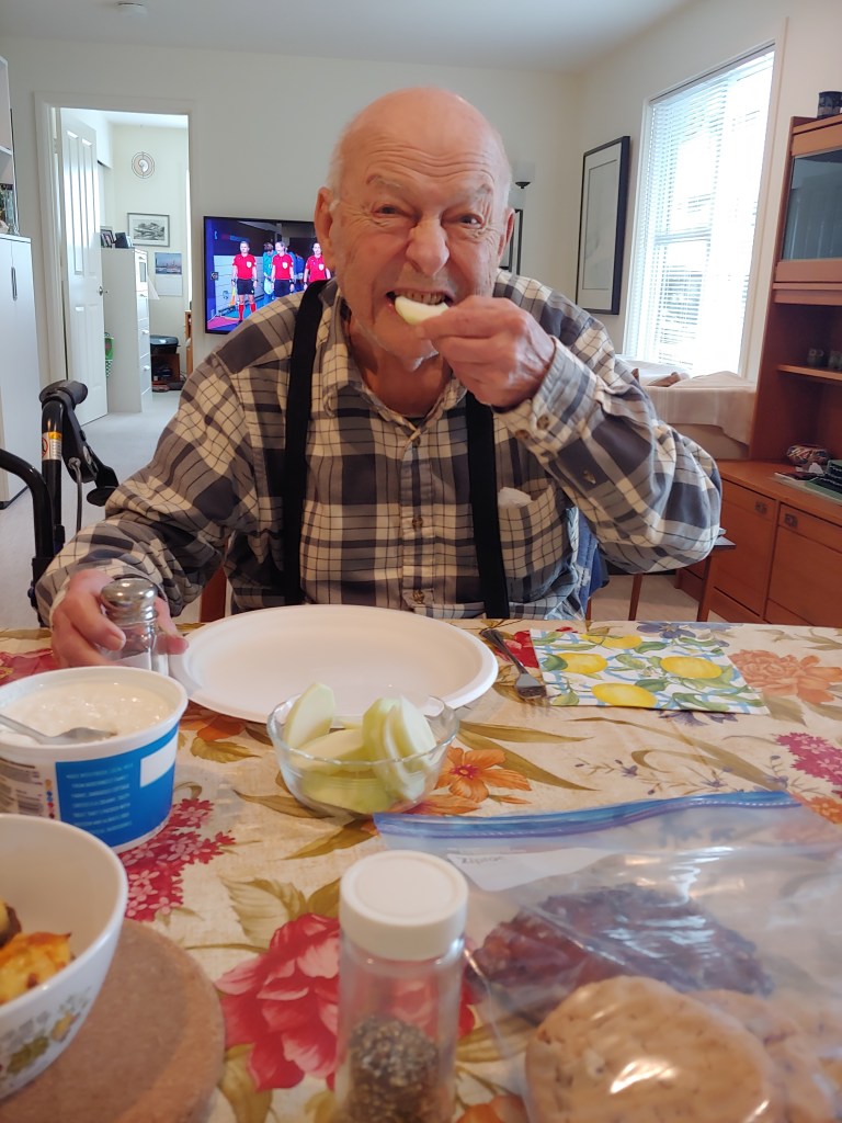
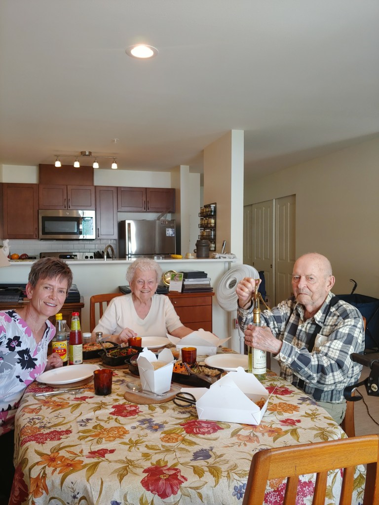
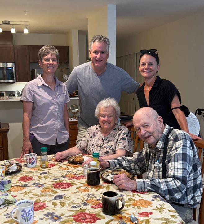
Luckily, Mom kept us well fed and well hydrated during my stay and then Bob and Larina were in town at the end of my climb so we all met for brunch at the apartment.
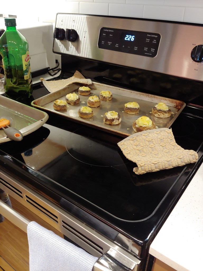
Look at the mushrooms on the stove we are having for dinner …Yes, well worth the wait!Fresh garden kohlrabi compliments of Joel.Thai takeoutSelf-timed using Bob’s magic coffee mug trick.
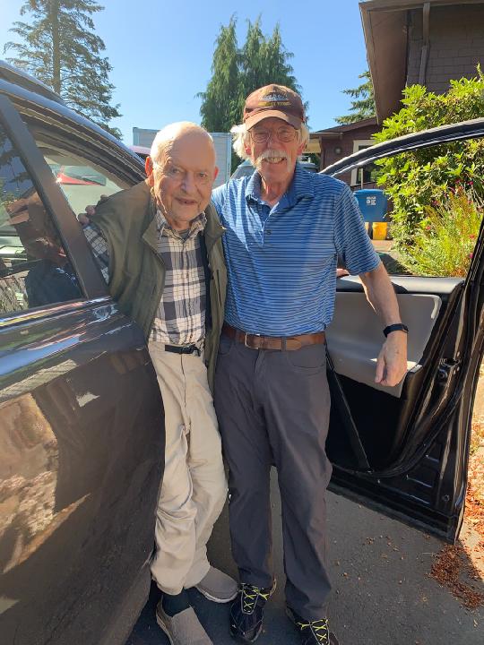
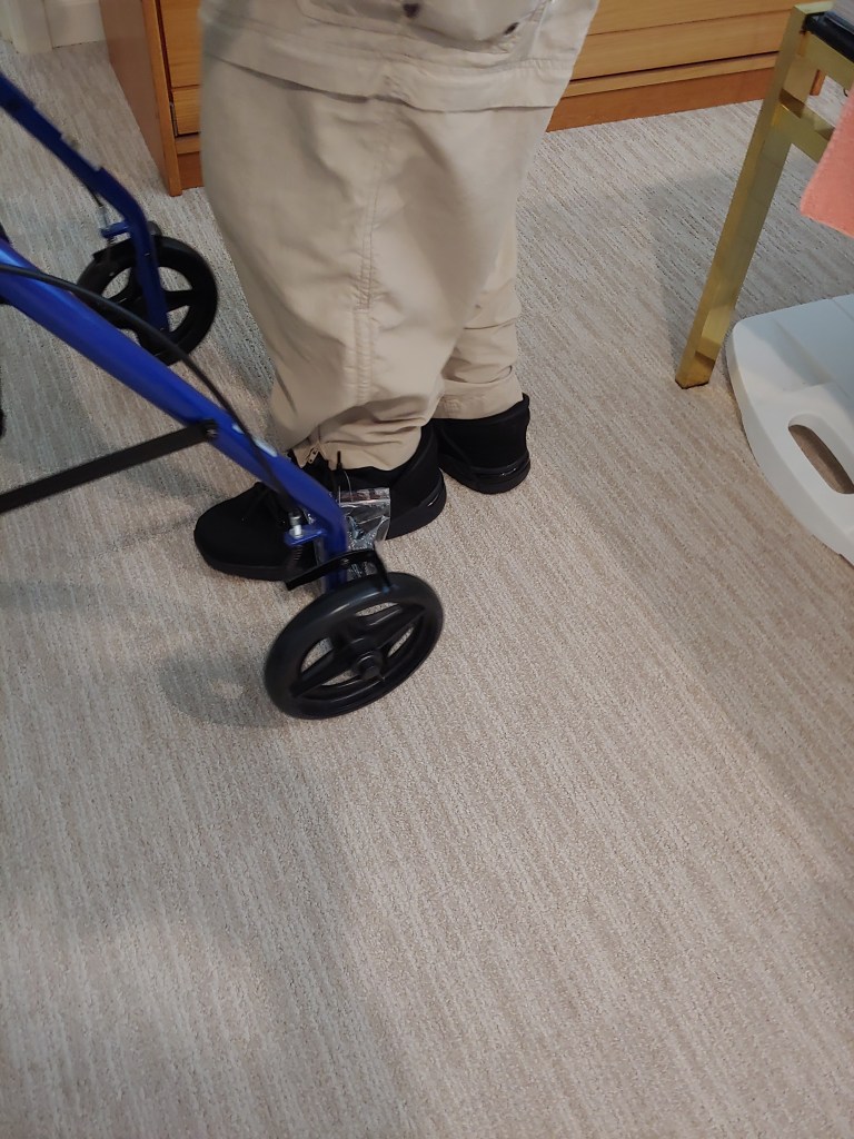
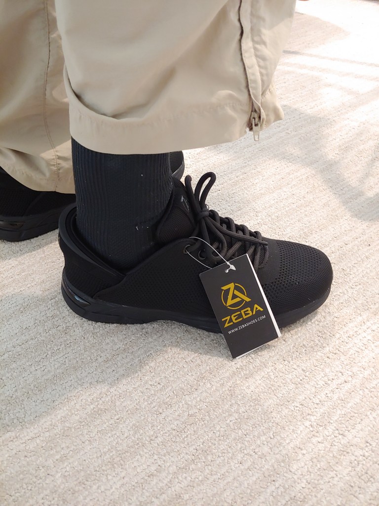
Other tasks included sorting through several boxes of tapes and CDs, dropping some of Dad’s submarine books off in Seattle to a local submarine historian and anxiously awaiting Dad’s inaugural donning of his new, high tech shoes!
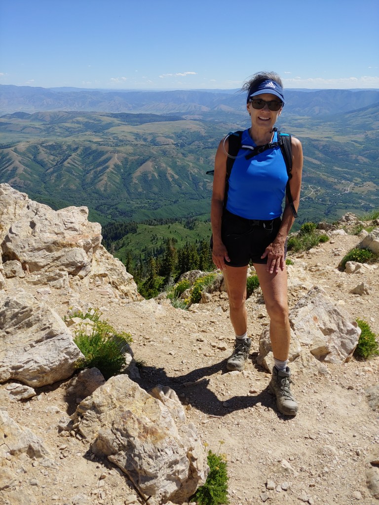
One of my yoga teachers mentioned to another student that she was training to climb Mt. Whitney in September. Nuff said, I have another hiking partner!
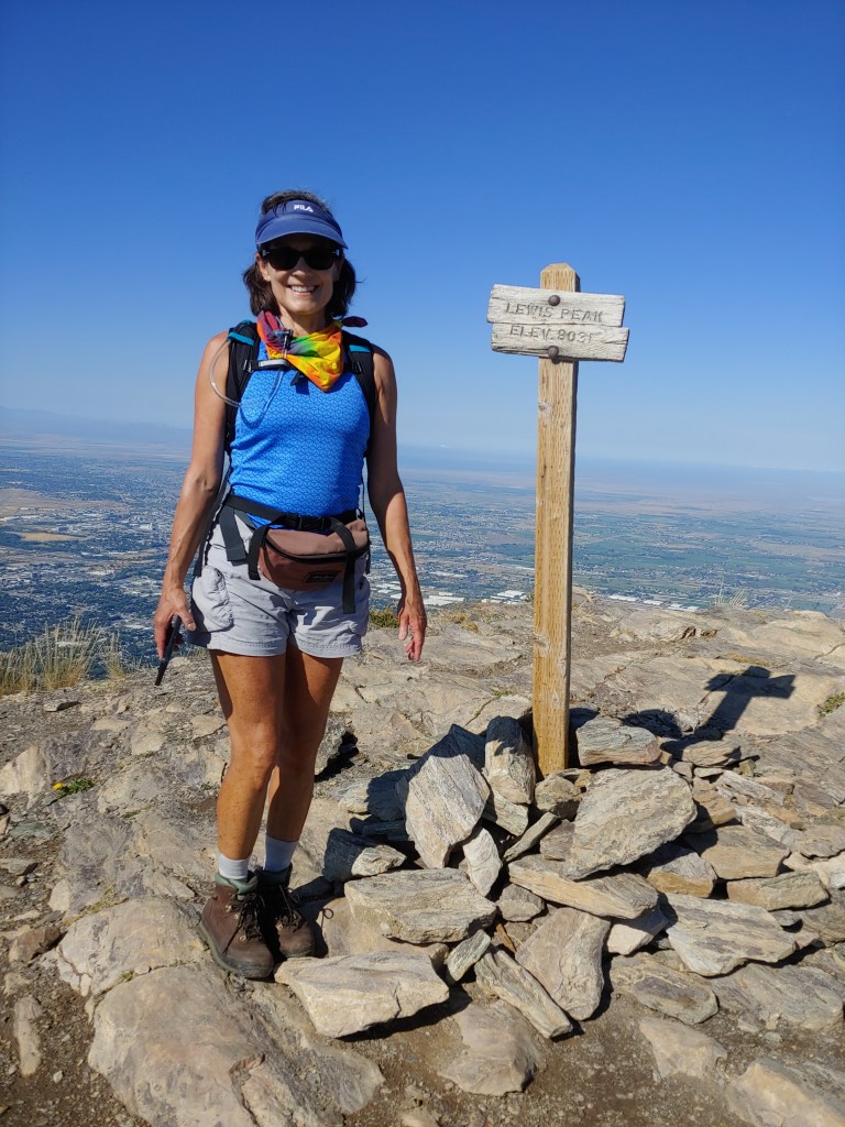
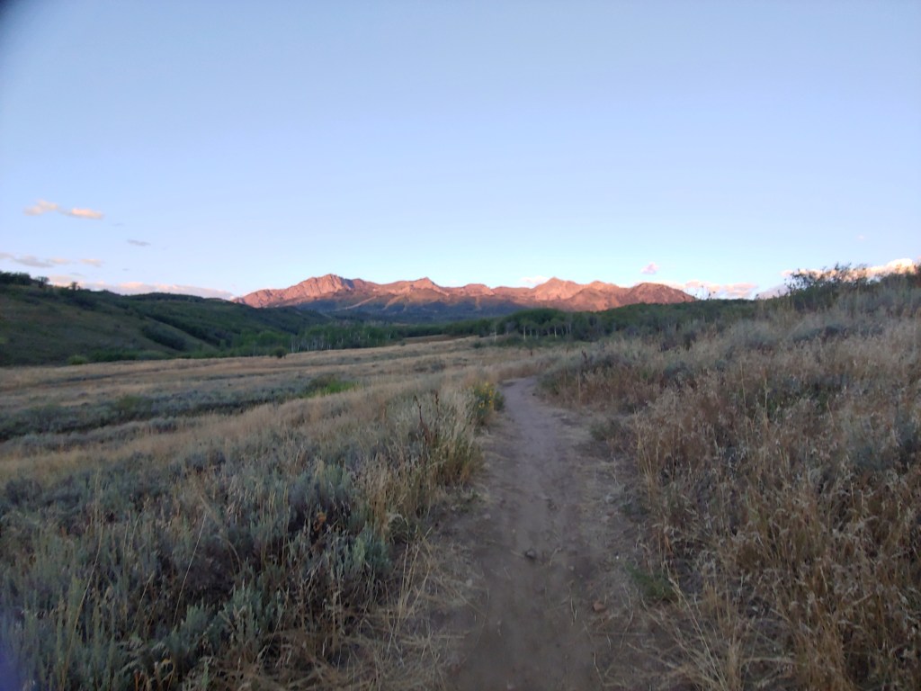
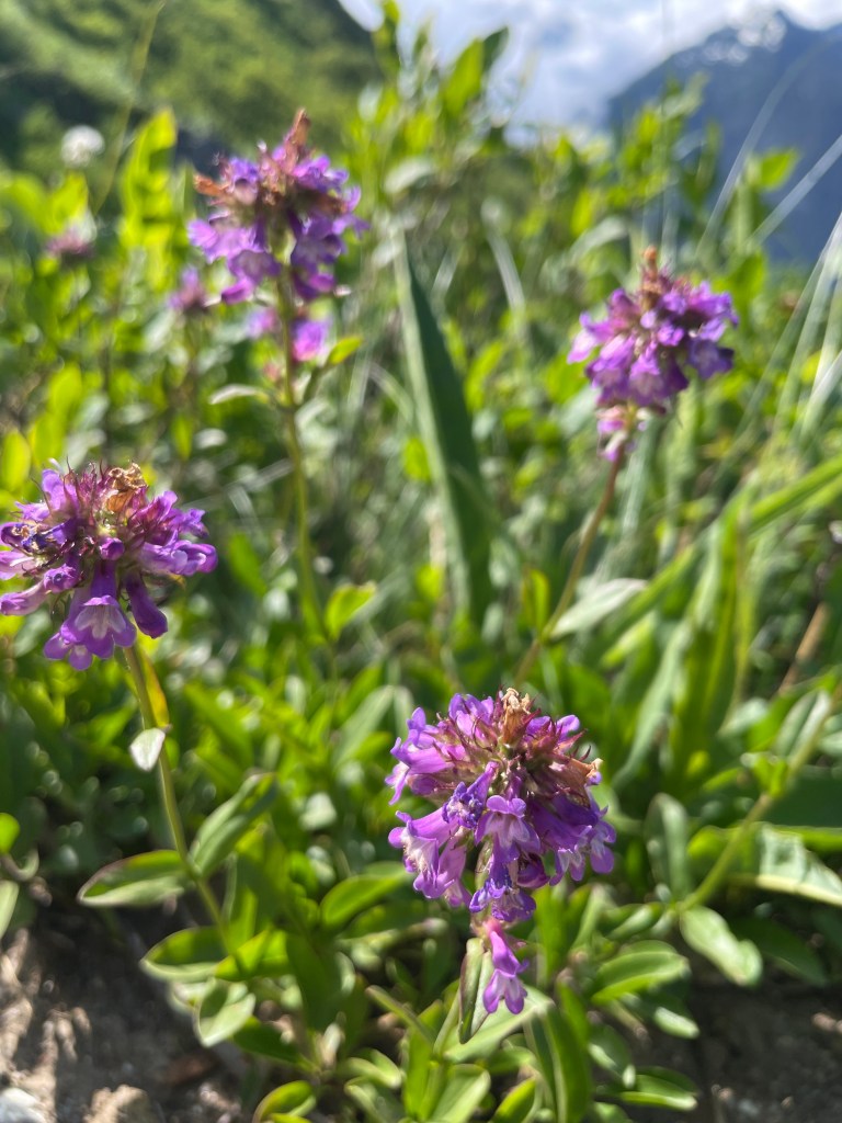
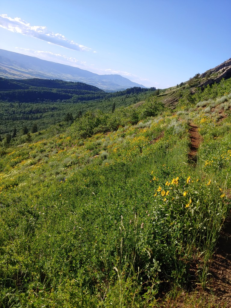
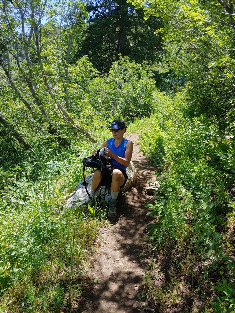
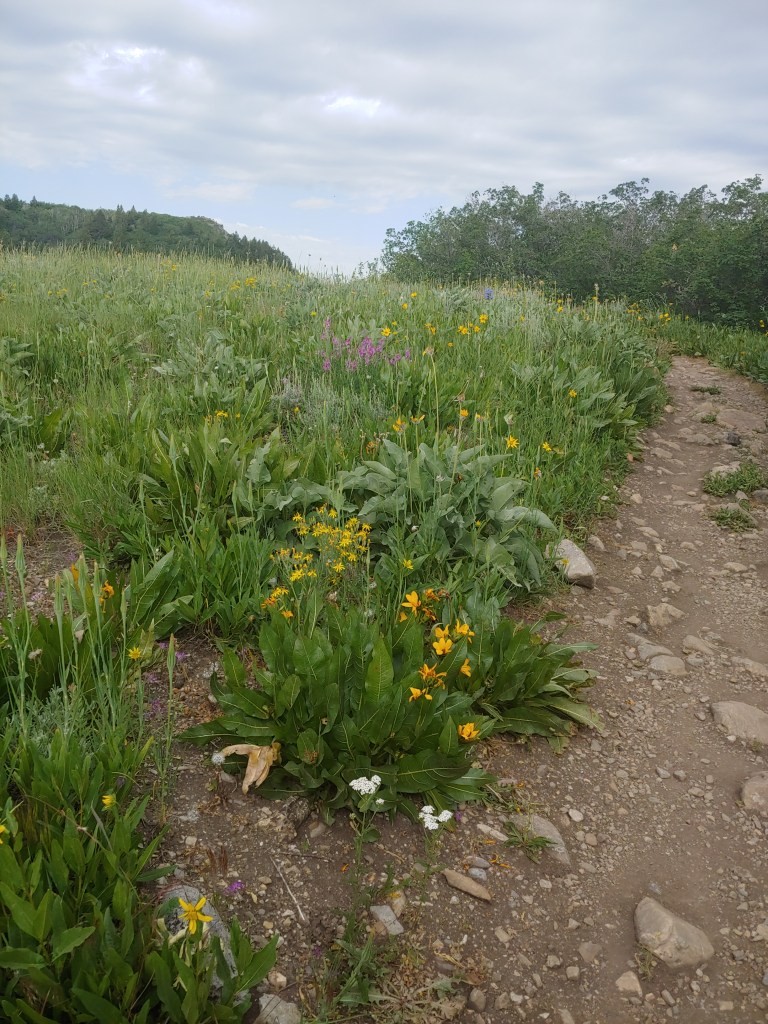
We took a hike up Ben Lomond Peak yesterday. A long slog (16.6 miles) and no matter how hard you try to avoid it, in Utah in July, you end up descending in 90 degree heat. Aside from that, it was a great day – not many people up on the trail, amazing wildflowers and clear views from the top.
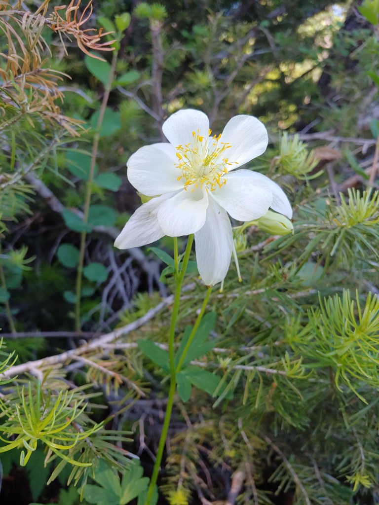
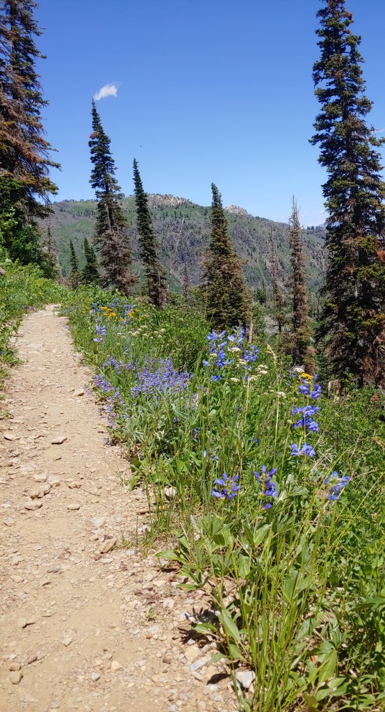
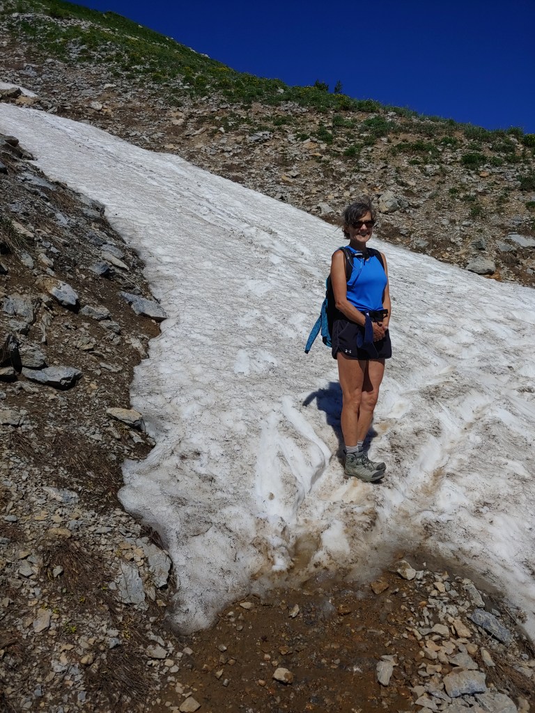
ColumbineAt the saddle – about a mile to go to the summitWildflowers in full bloom.Pam on the last snow left on the trail – about 10 steps worth.On the summit.Really windy the last mile – hold onto your hat!A quick break in the shade on the way down.
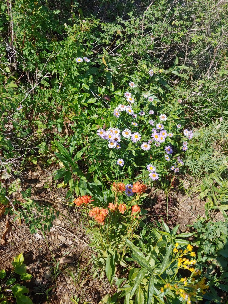
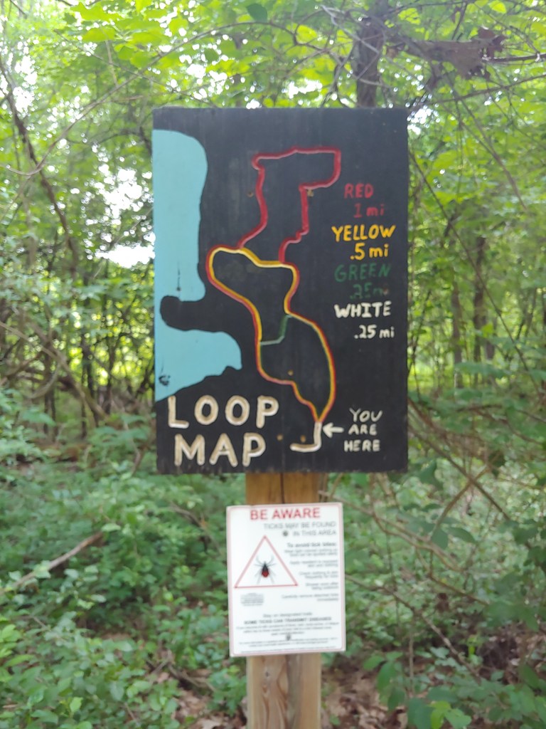
Out of the parking lot of Snowbasin ski resort are several unexplored trails. Andrea and I took an 8+ mile loop up to Sardine Peak. Noteworthy for the many overlooks of Pineview Reservoir, Snowbasin ski runs, Ogden area and abundant wildflowers, it is apparently the “go to” trail for mountain bikes. So much so that we spent too much time stepping off the trail to avoid the bikers barreling down the trail that I would not put in my “recommend” file!
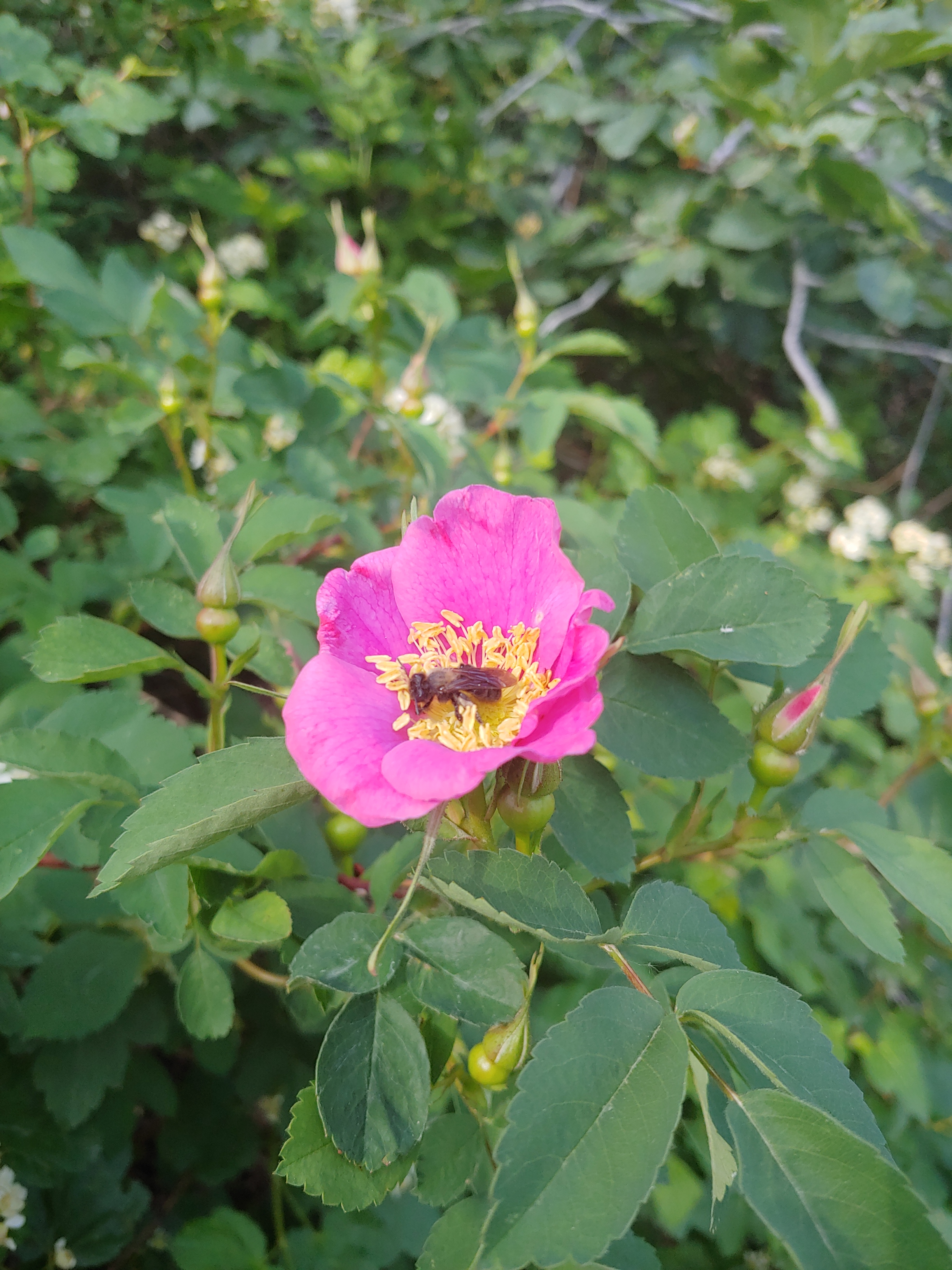
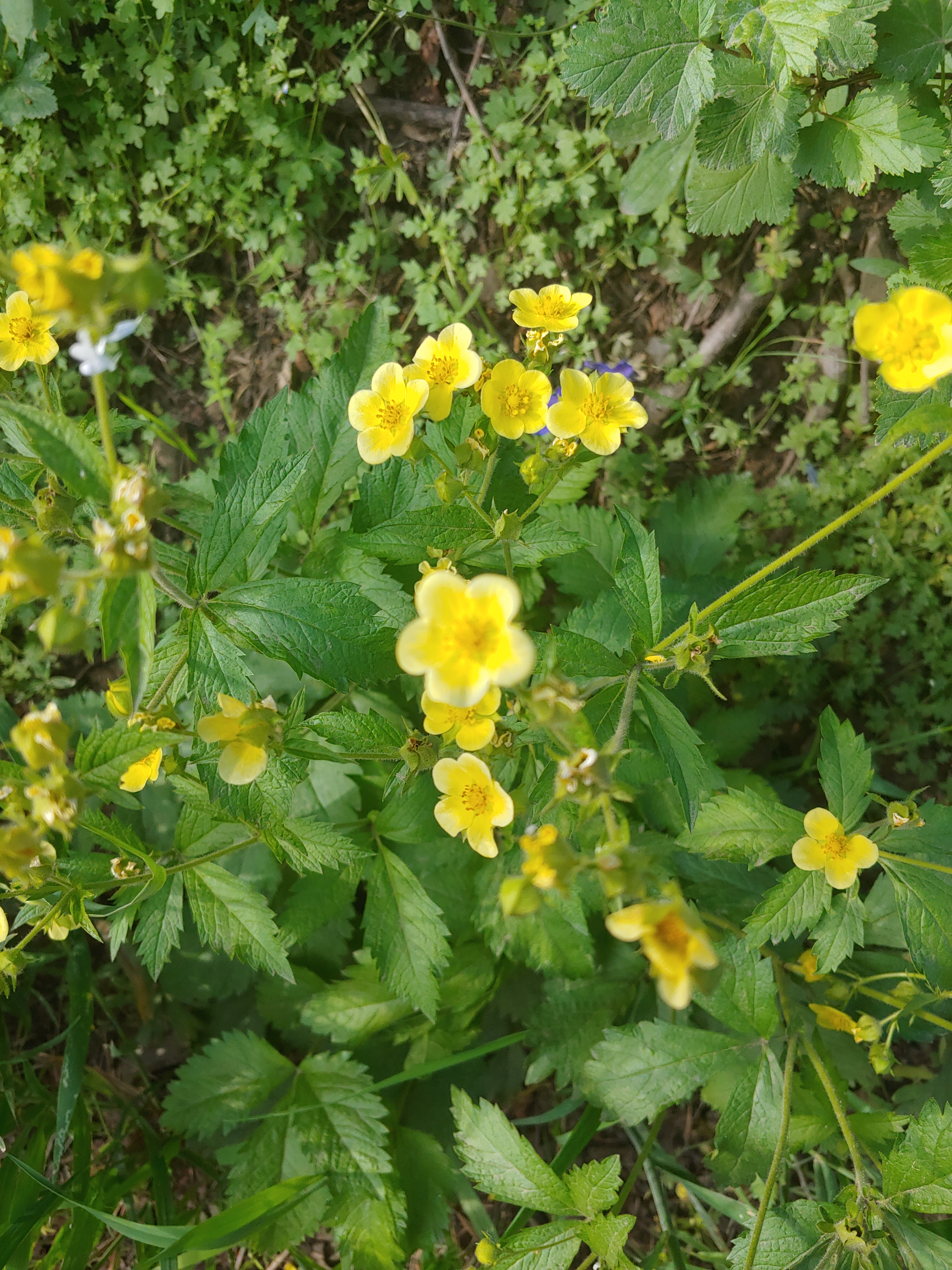
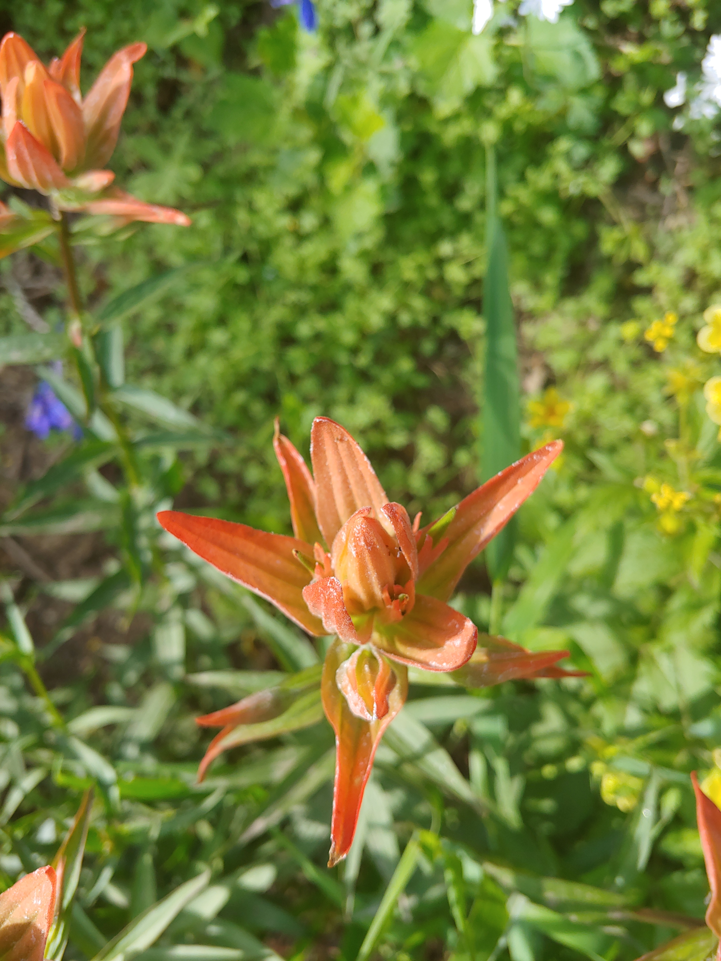
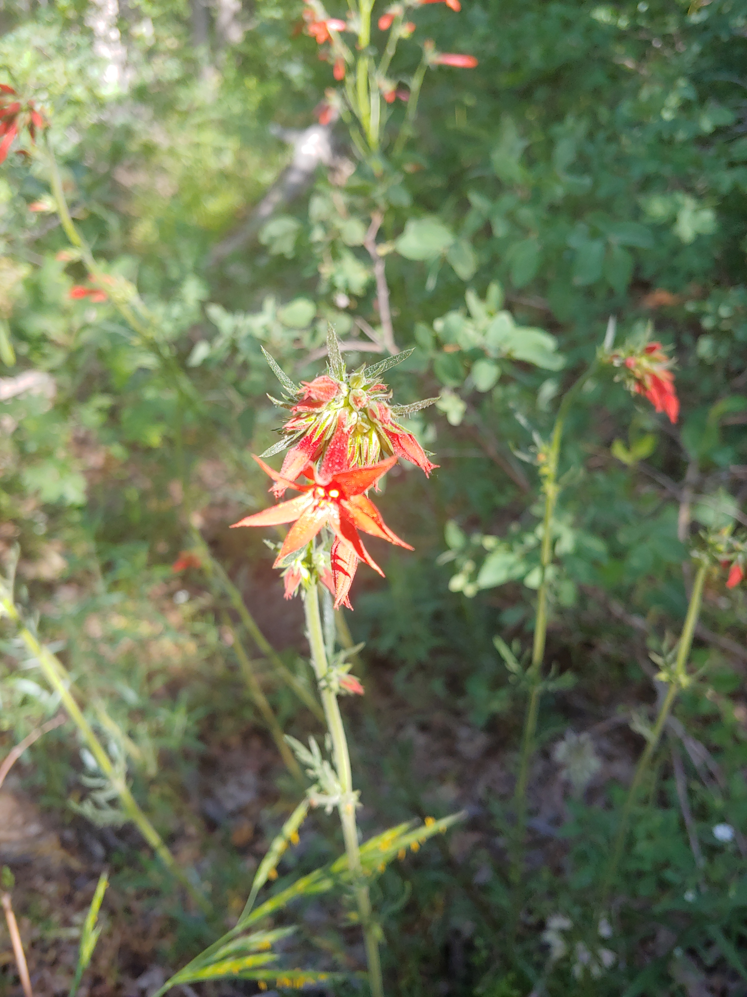
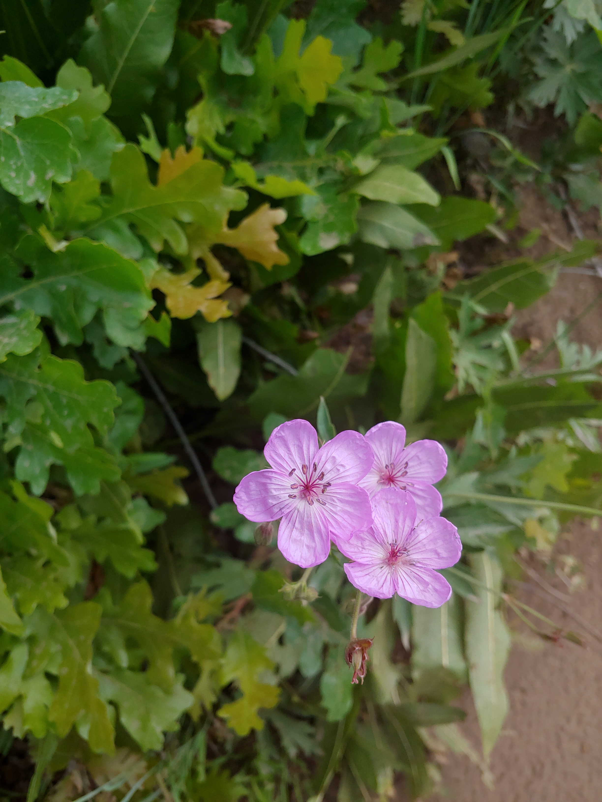
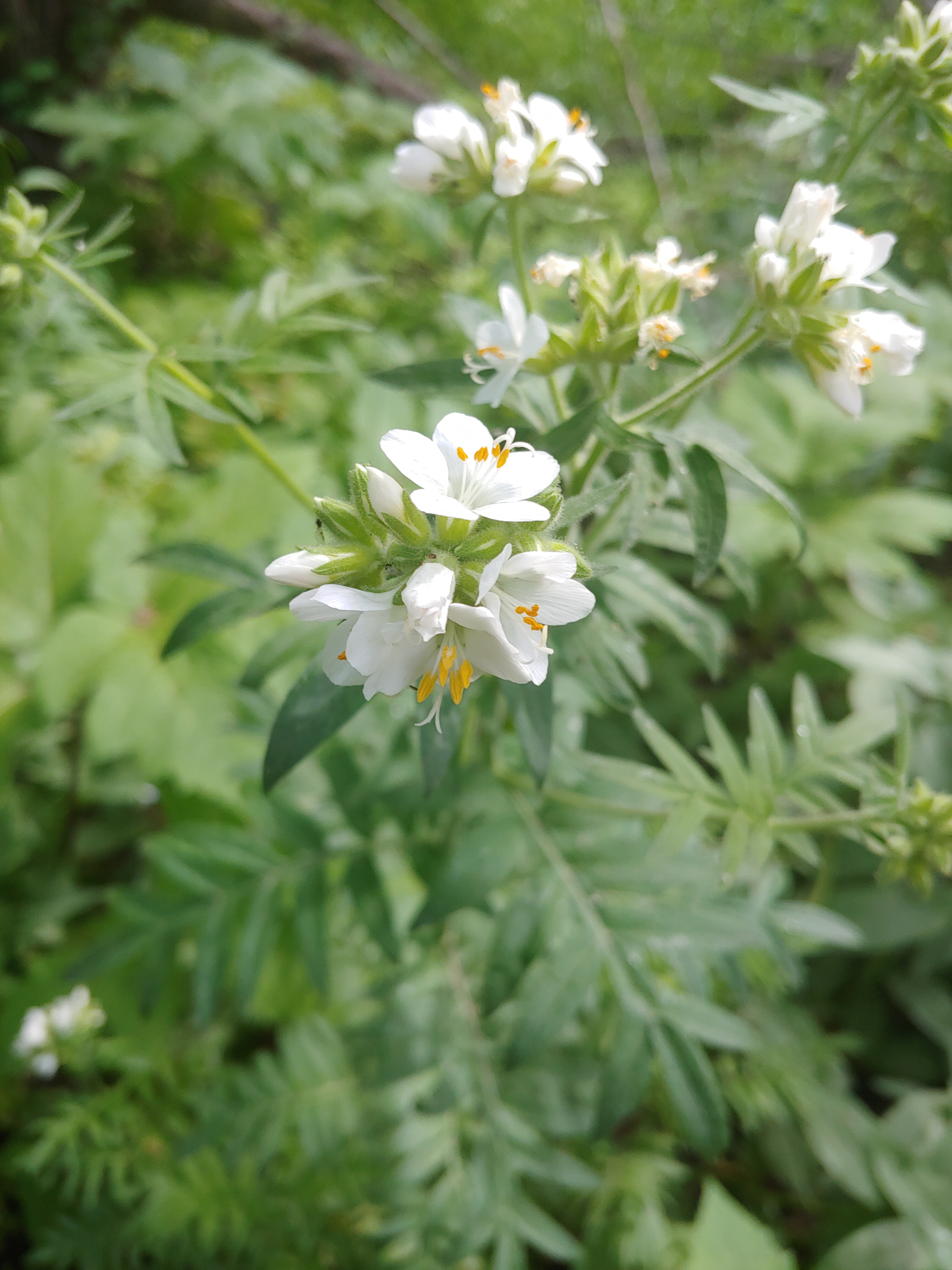
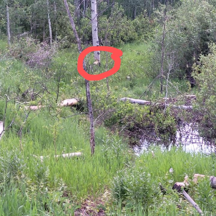
Snowbasin Ski ResortPineview ReservoirWoods’ RoseSticky CinquefoilGiant Red Indian PaintbrushScarlet TrumpetSticky GeraniumJacob’s LadderTree “trimming” just about completed by resident beaver.Identified as Oregon Checkerbloom … Doesn’t seem correct!
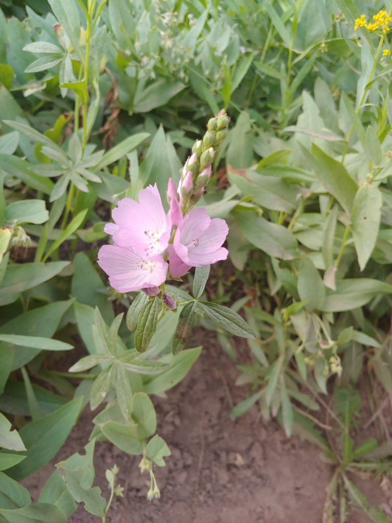
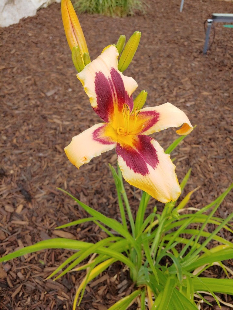
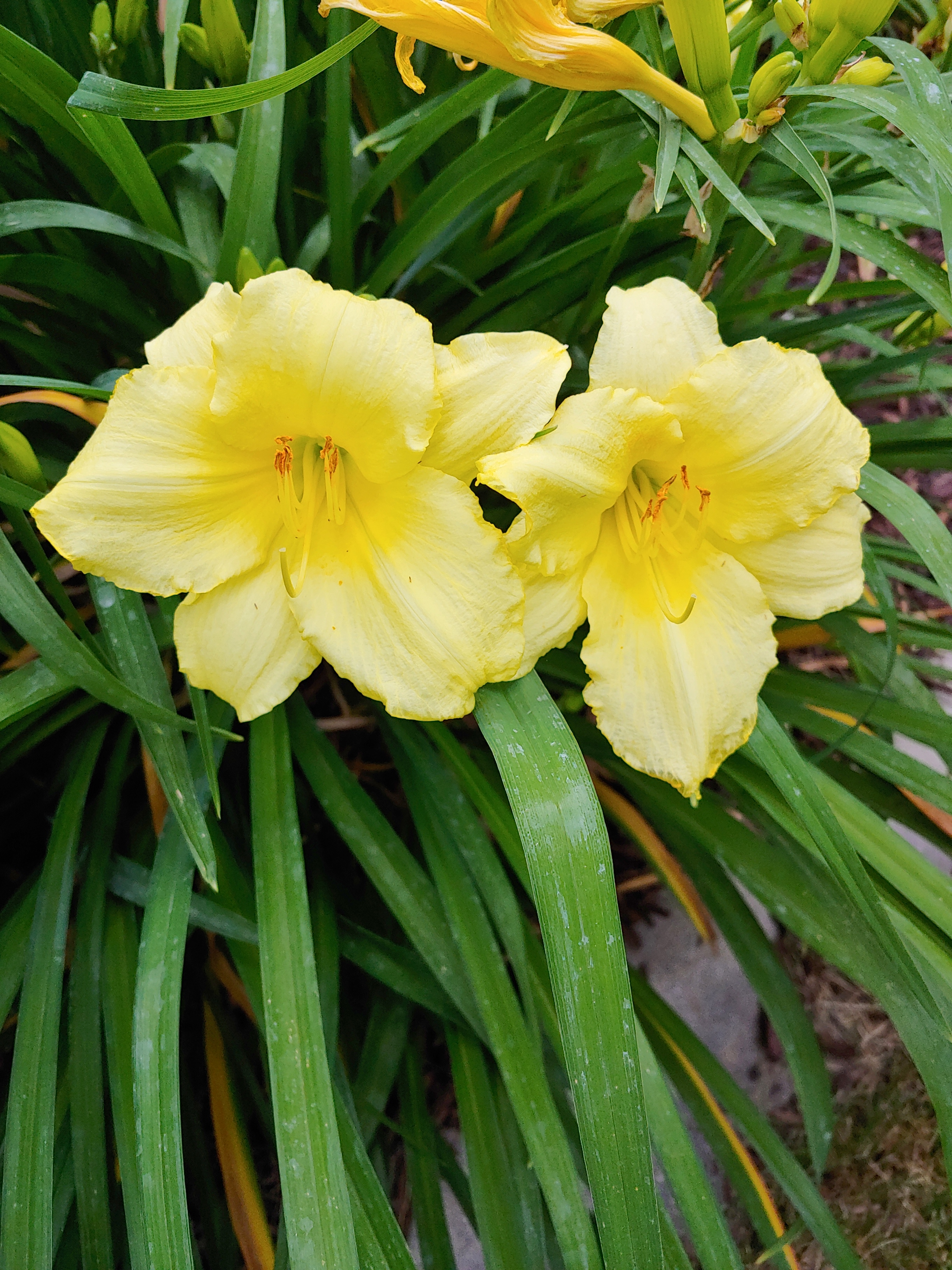
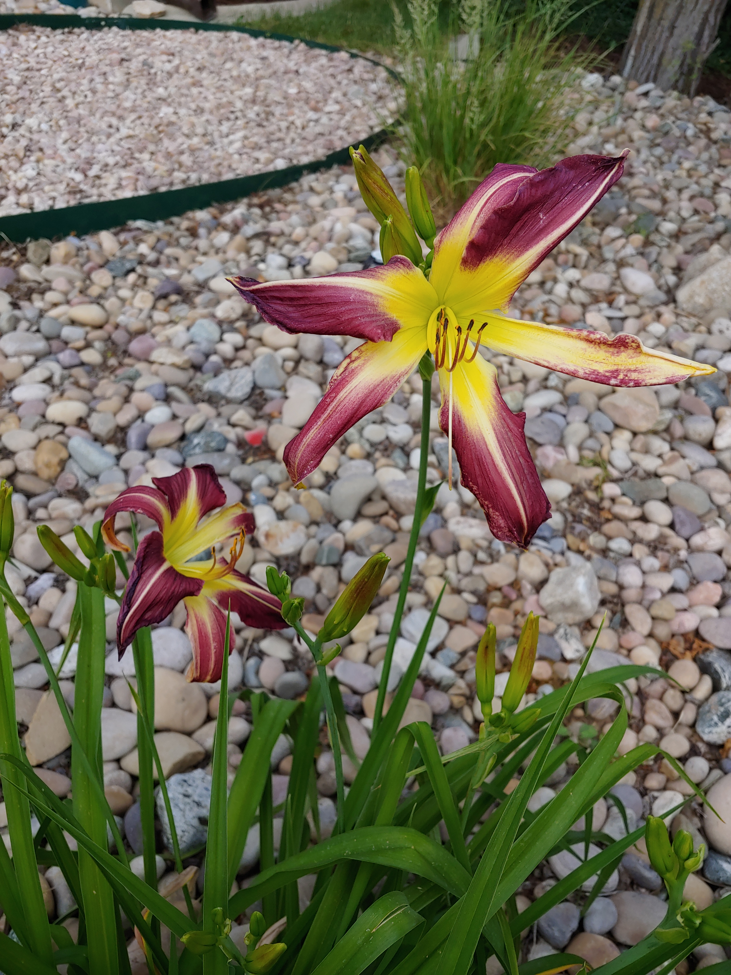
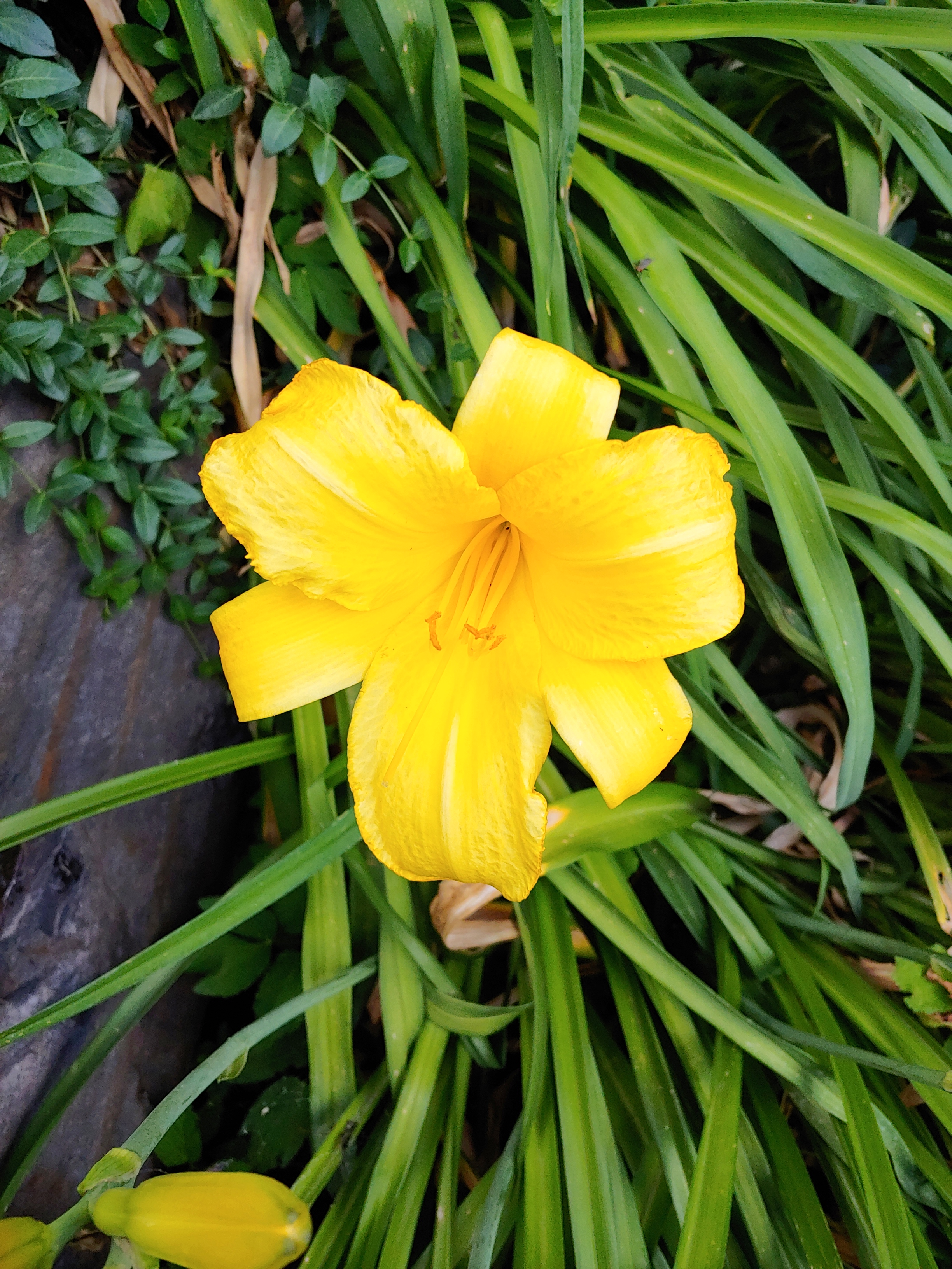
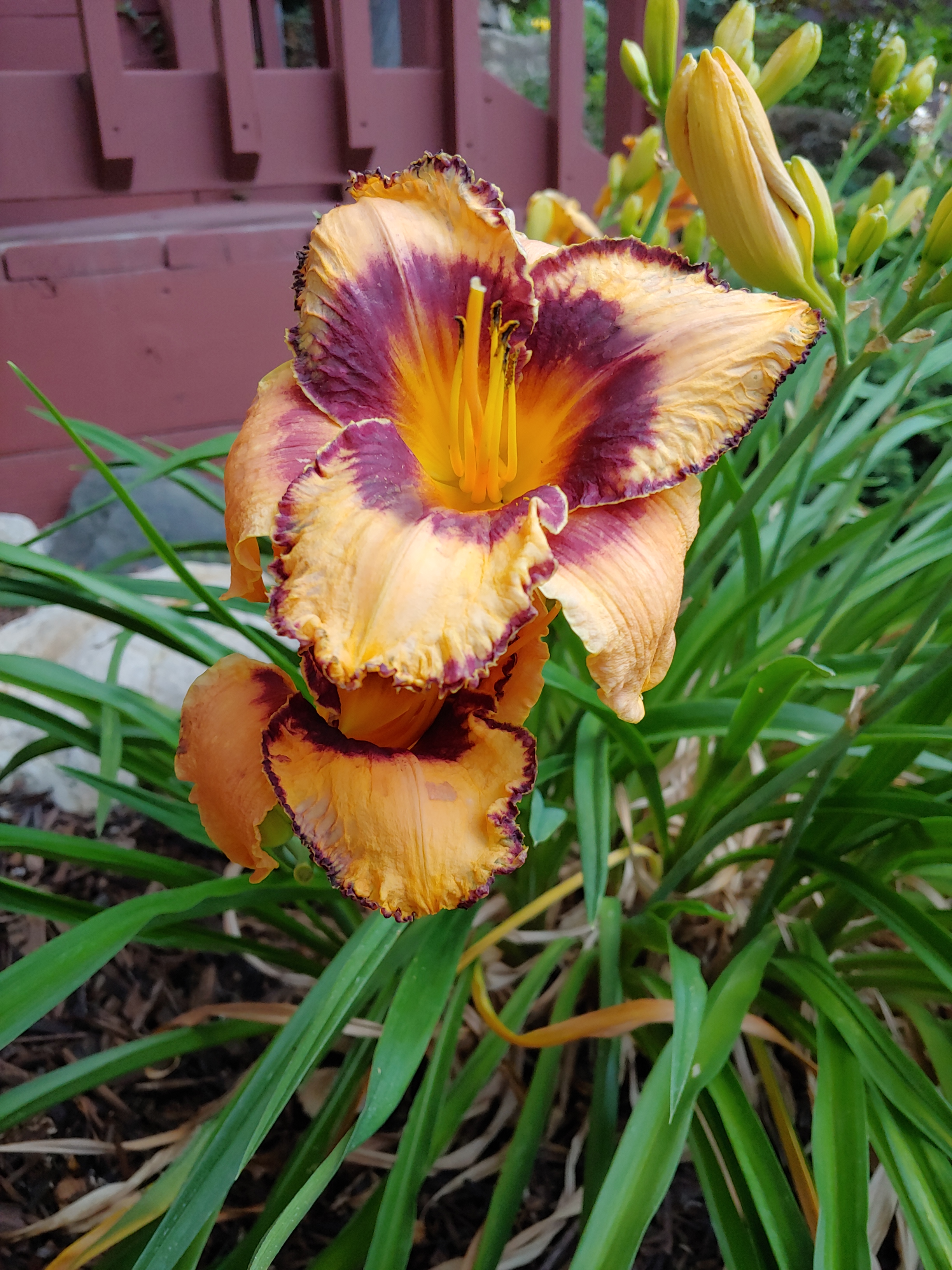
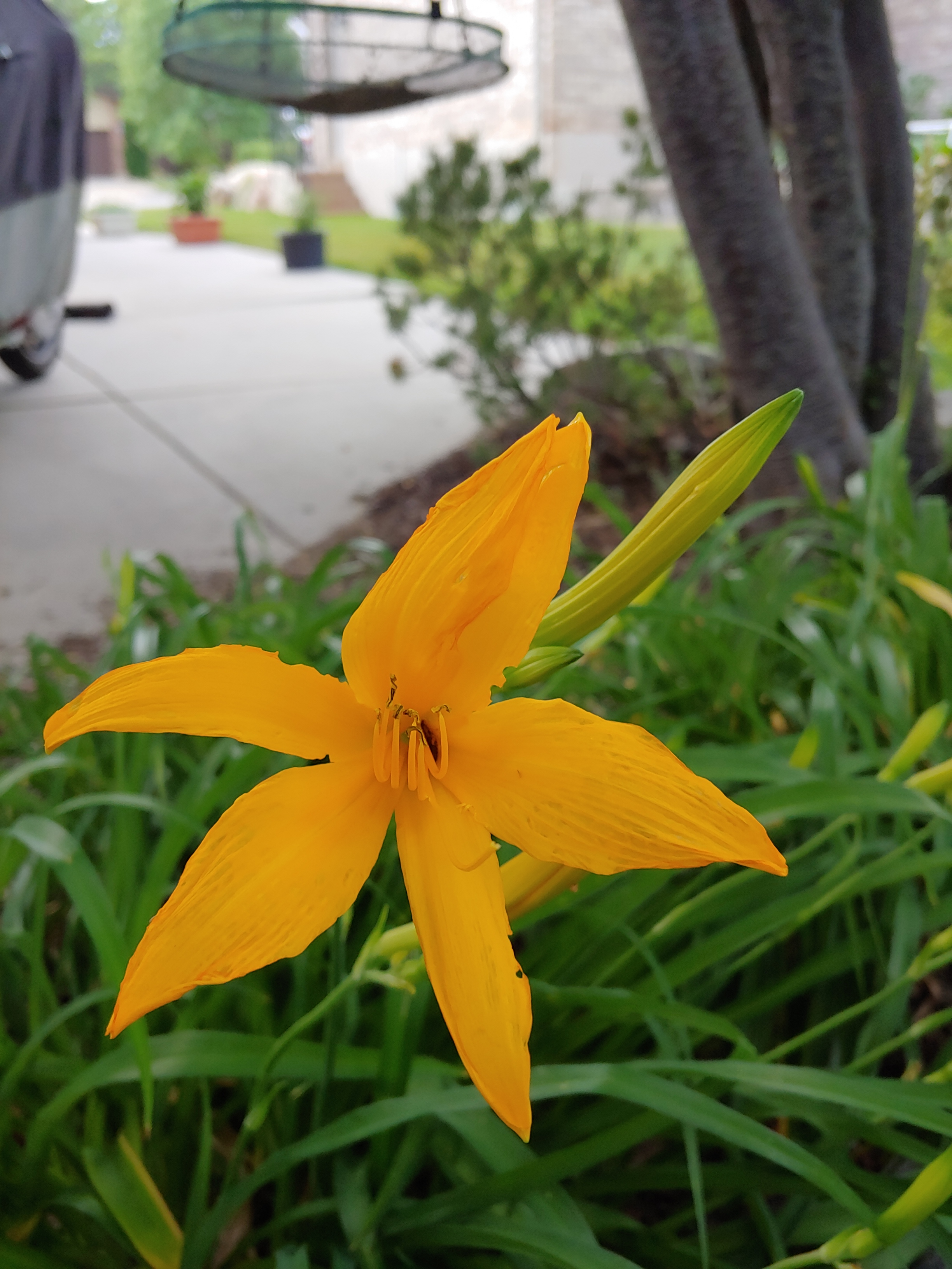
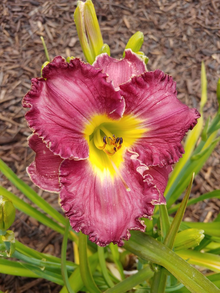
Probably boring compared to Joel’s ever- evolving garden(s), I always get excited when the first daylillies bloom, even if they are the same every year! Discovering them and realizing there were more types of daylillies than just the ugly Stella D’oro when I lived in Lockport, IL, the climate here seems perfect as the displays just get better each year!
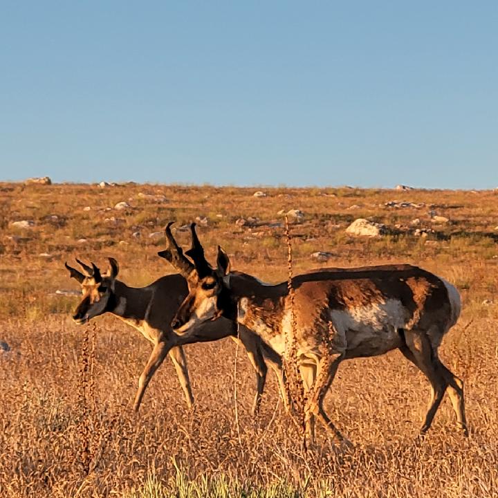
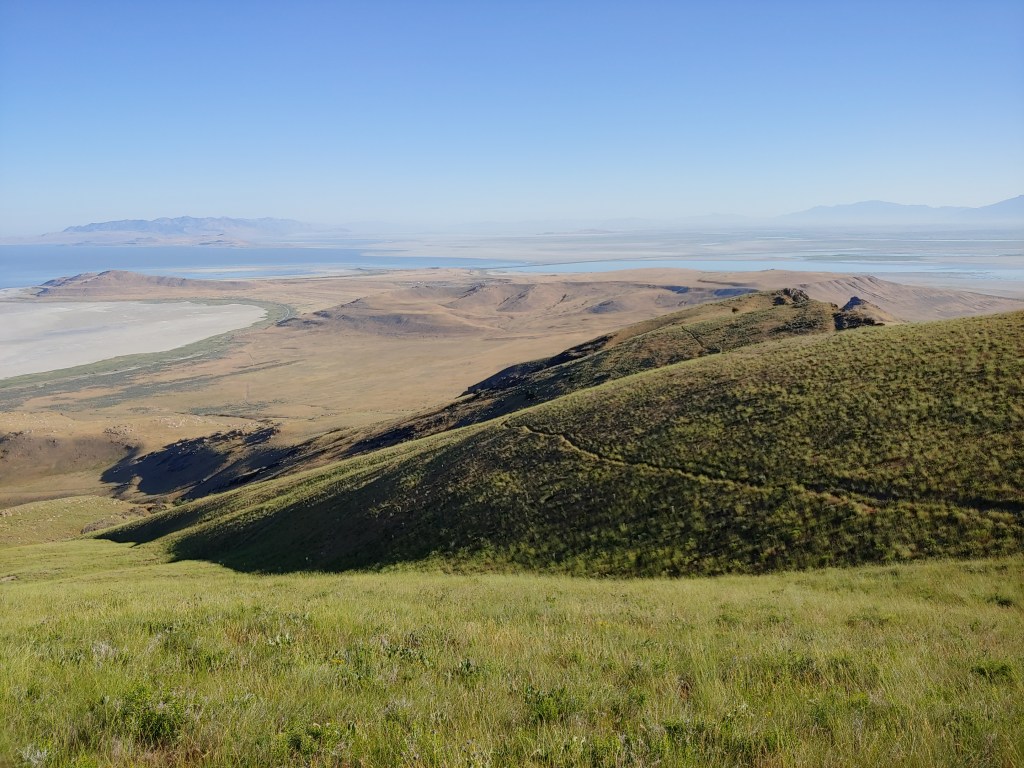
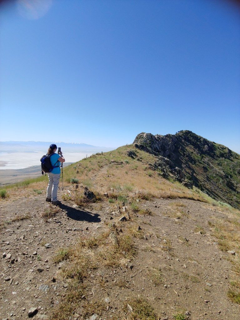
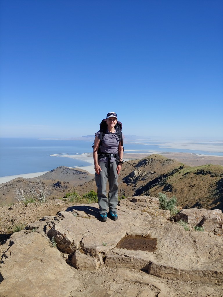
Andrea and I found another 7ish mile hike that she had never been on and so we ventured out early morning to Frary Peak (6596′) on Antelope Island. Joel and I have done this hike a couple of times and found the winter hike with snowshoes to be a lot of fun. As we are starting to get consistent days in the 90’s our hikes now are usually starting by 6am. By the time we were down from the summit, it was getting toasty but we timed it well and had ample water!
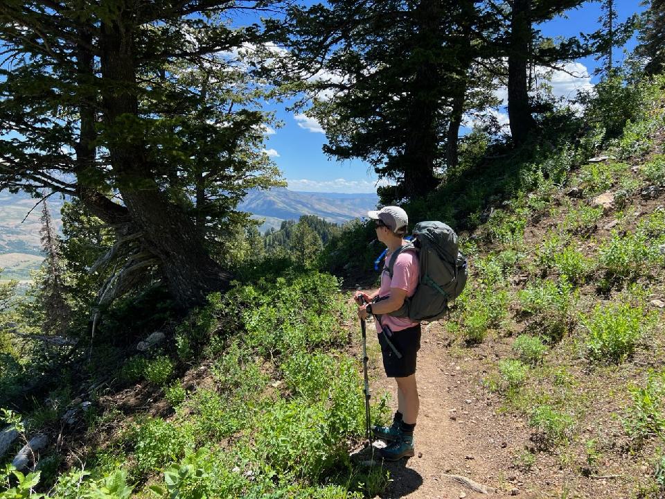
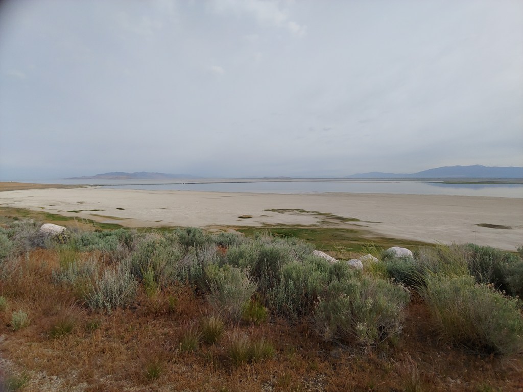
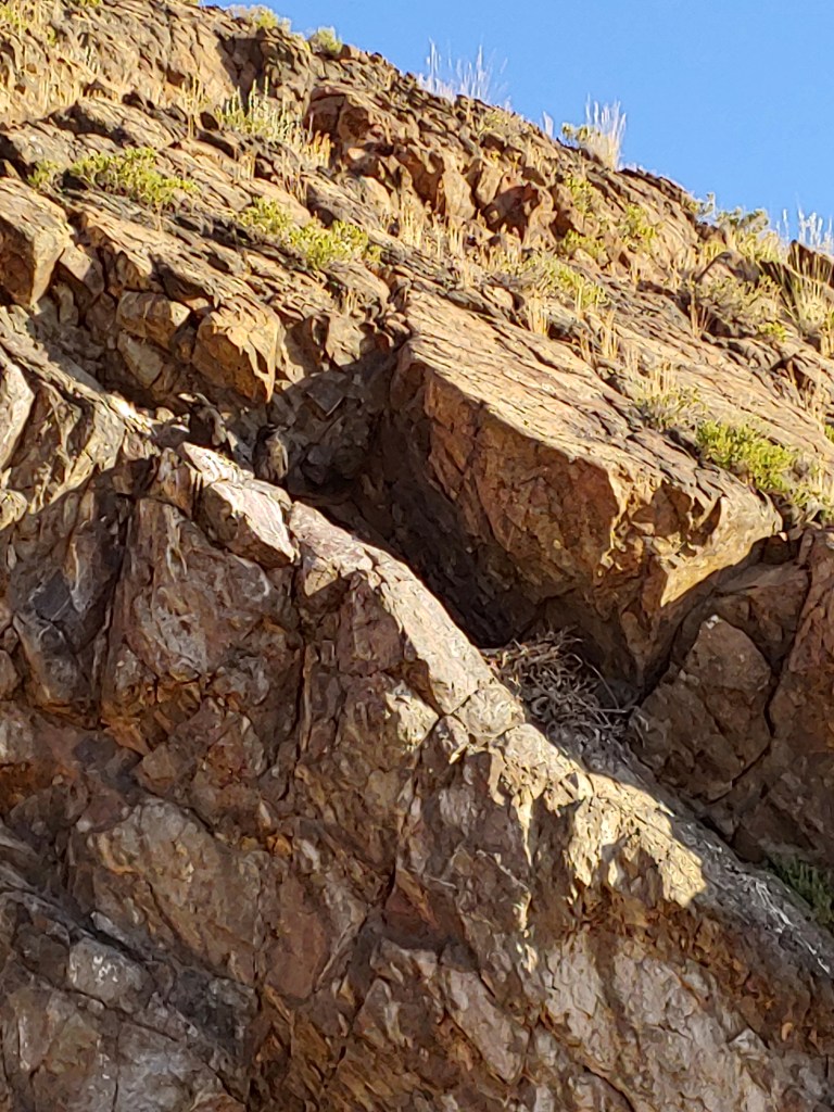
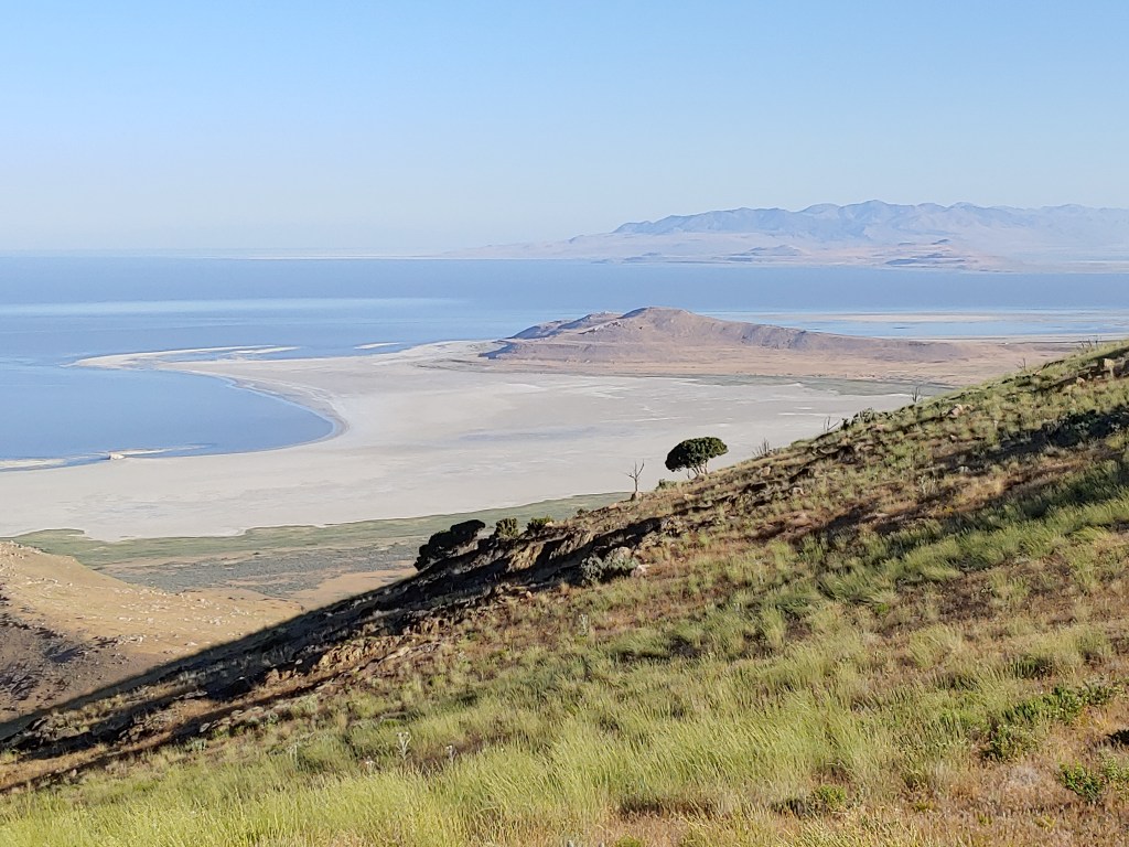
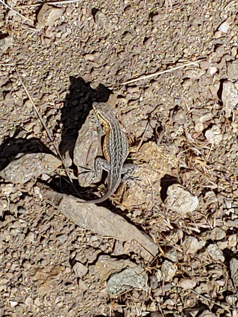
Looking back to the causeway where the road is out to the island. Historic low levels which is pretty sad as the Great Salt Lake used to fill up the entire shoreline up to the grass in the photo.Nest close to the trail and the babies were squawking for food and quite loud!Looking down at the trail as it sort of meanders along the hillsides.Scrambling on an ill-fated attempt to use the ridgeline trail – seemed to cliff out and not something either one of us needed to do – there was a nice trail around the other side!Zoom feature not the greatest on the camera/phone but you can see this little guy has grown back a new tail.Andrea looking back towards the summit.Me and my ill-fitting monster 90 L pack … complete with a 25# bag of pinto beans and several jugs of water. Training for Glacier Peak and Mt. St. Helens (both in WA) in a couple of weeks.
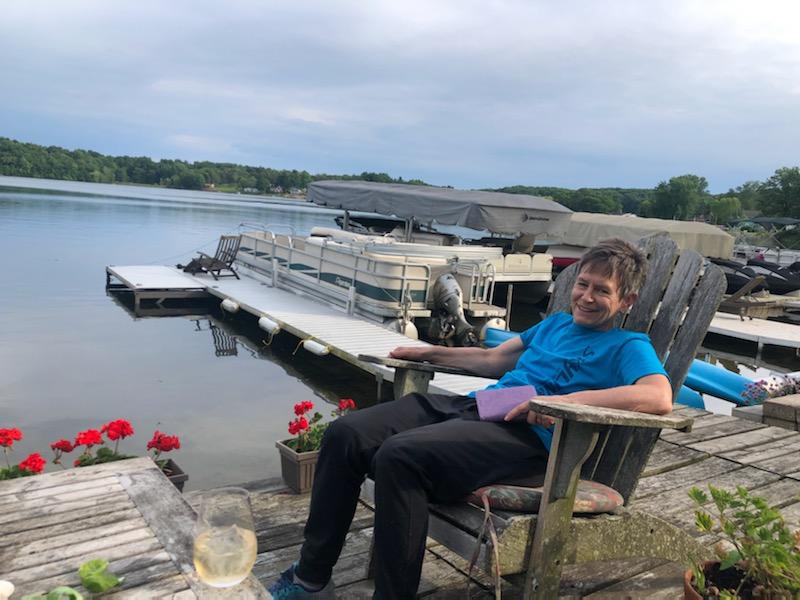
Well, actually I am already back after spending an extended weekend at my friend’s place in Augusta, MI. Couldn’t have asked for more perfect weather, great hosts and a jam packed agenda.
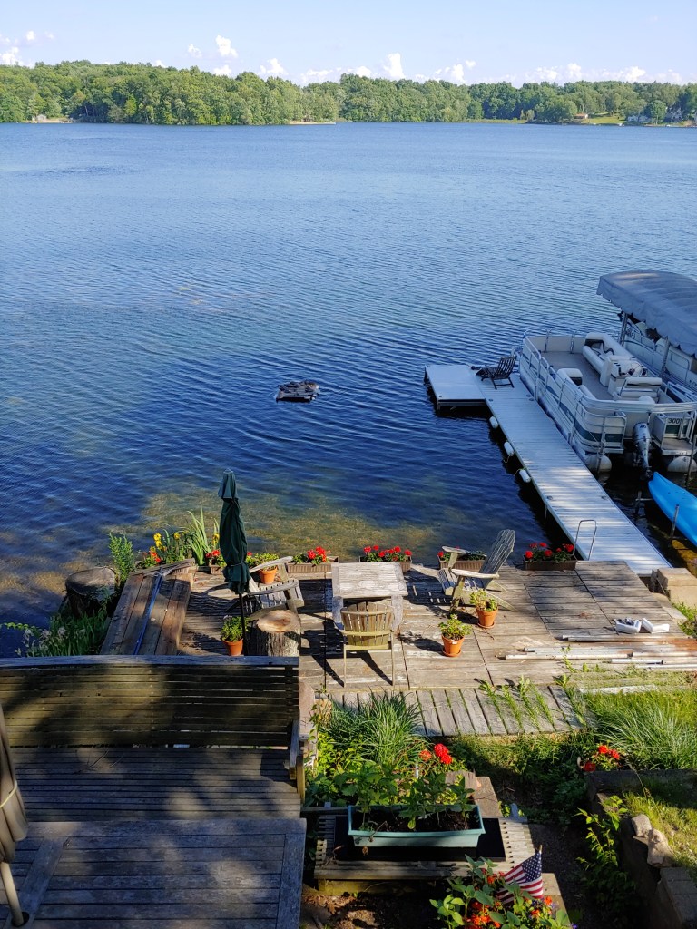
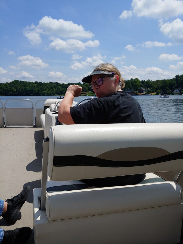
Jenifer & Steve’s place is on a lake and we spent time enjoying the amazing weather and scenery.
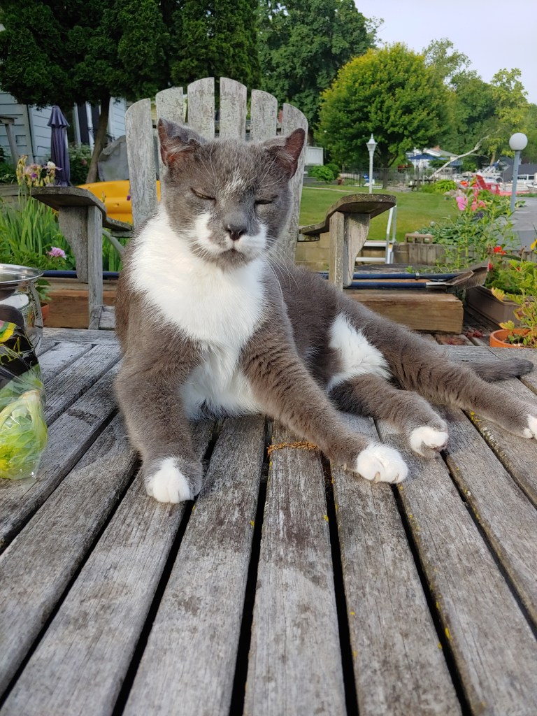
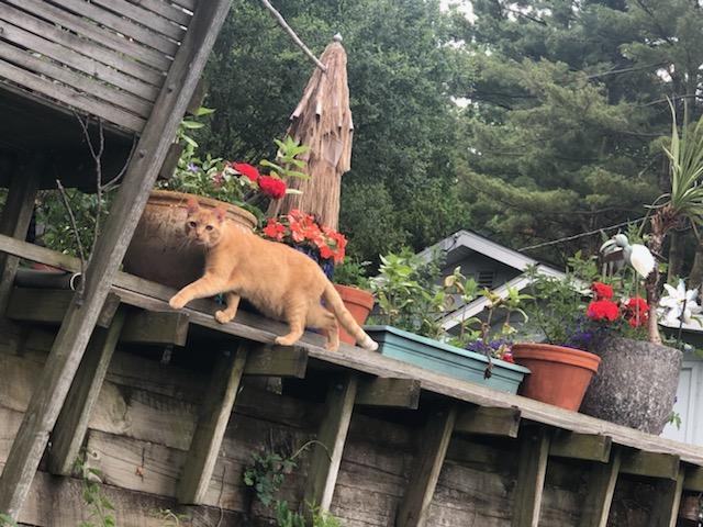
I hadn’t seen Jenifer and Steve since her 60th birthday celebration a couple years ago. A few new faces in their cat family of 11. I thought three was a handful!
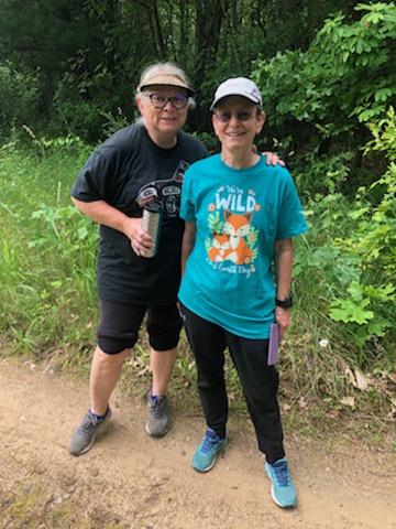
Once a month the Kellogg Research & Development, Quality and Nutrition retirees have a get together and the timing worked out and I had the great fortune of attending and seeing many of the ladies I used to work with.
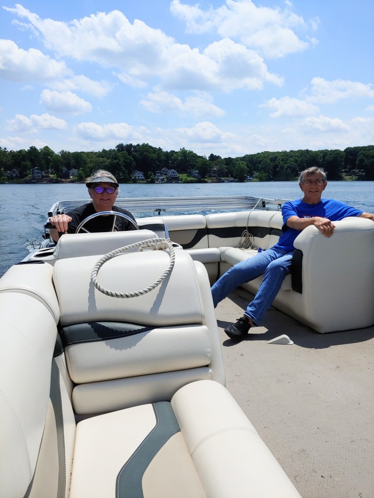
As Steve is having shoulder surgery, one of the big tasks at hand was to make sure Jenifer could get the pontoon boat operational and “park” it by herself … Mission Accomplished! Add in a few hikes and great meals and then back to reality.
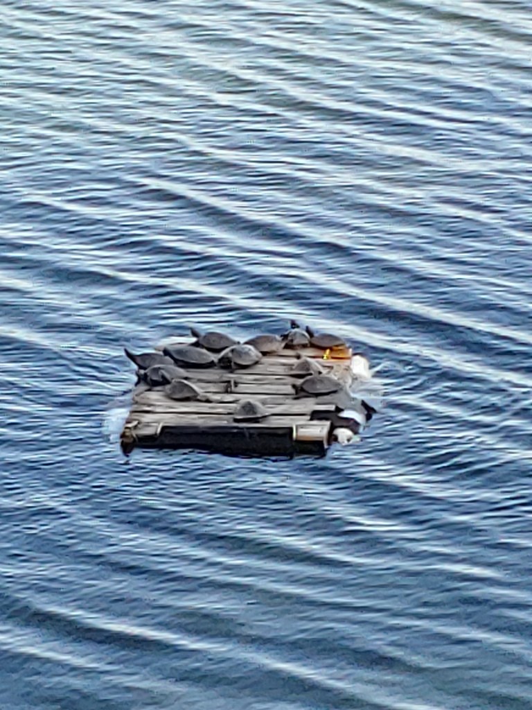
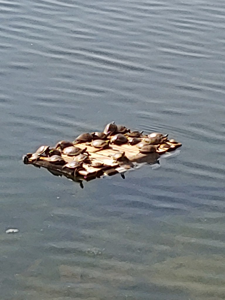
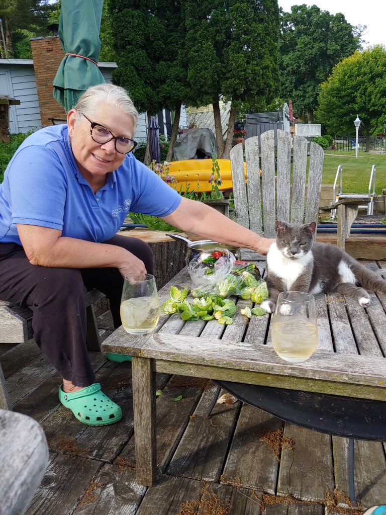
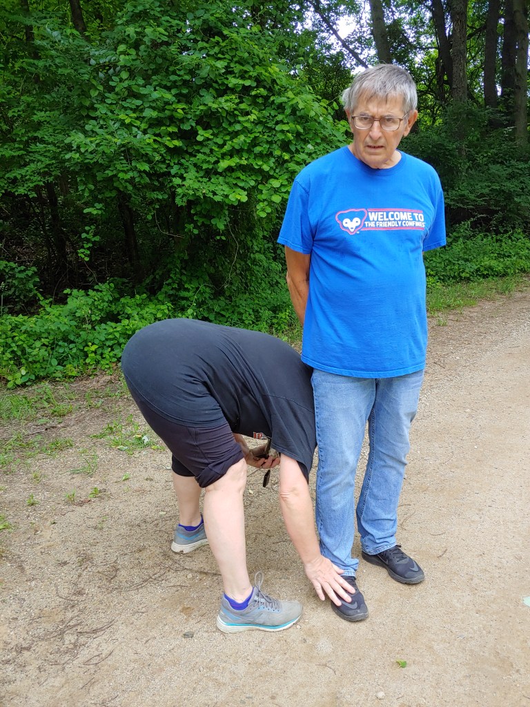
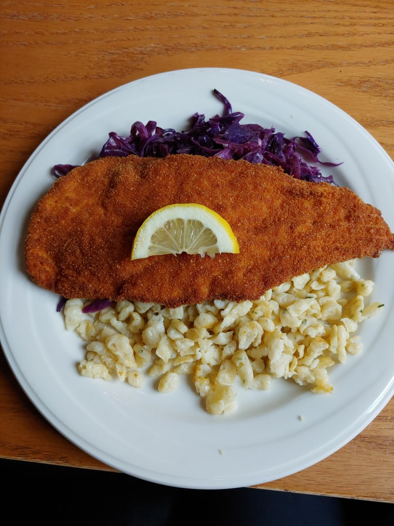
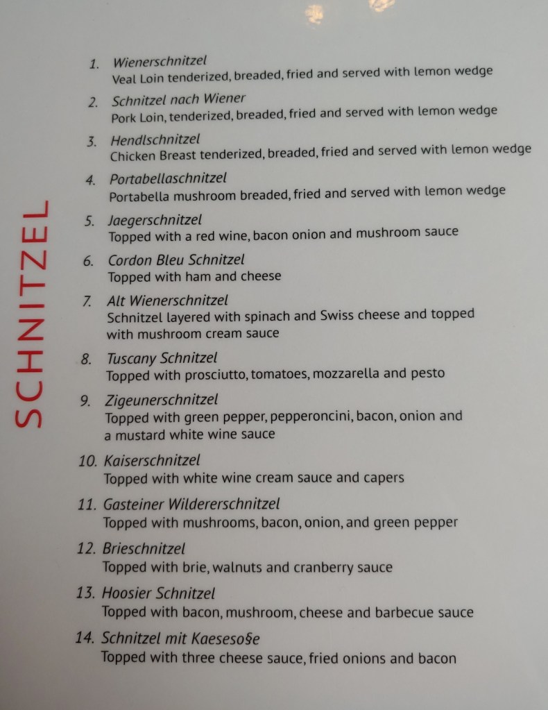
DaisyLooking out from the house onto Sherman Lake.Turtle float that Jenifer made.Brussels sprouts assembly line.Little CatTick season – UGHSandyMore schnitzel than you could imagine! Moser’s Austrian restaurant in New Carlisle, IN.Exhausted!