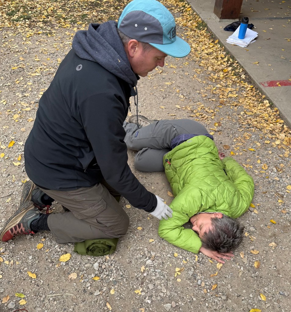
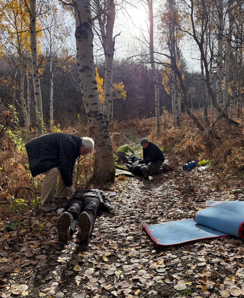
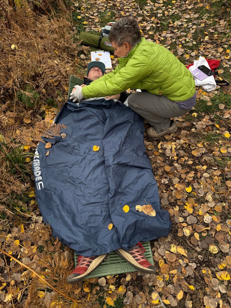
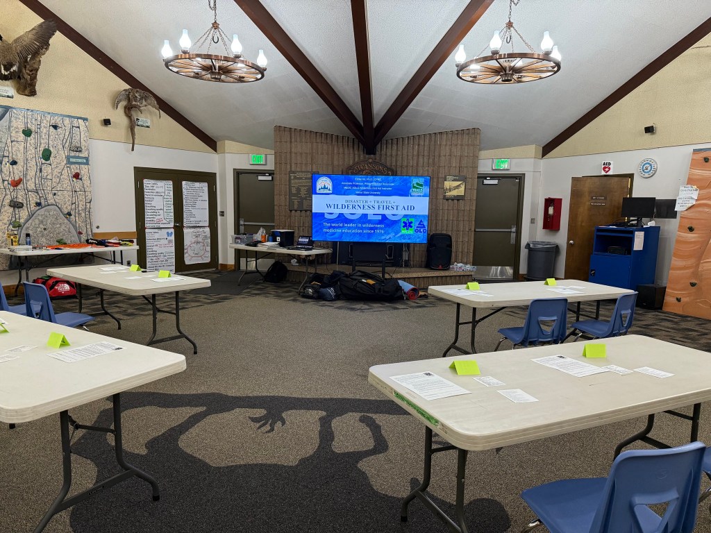
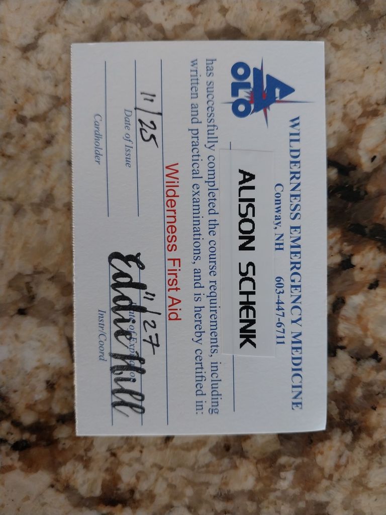
Training. Through membership in Trails Foundation of Northern Utah I was able to take a 20 hour INTENSE Wilderness First Aid Training for free. It was a very small class of 6 people and we were close by at the Swaner Environmental Center at North Fork Park. It ran from 8am – 7pm with about a 20 minute break for lunch. UGH … after the second day my brain was mush. This is the reason that I have not been working on the blog, if any of you are curious.
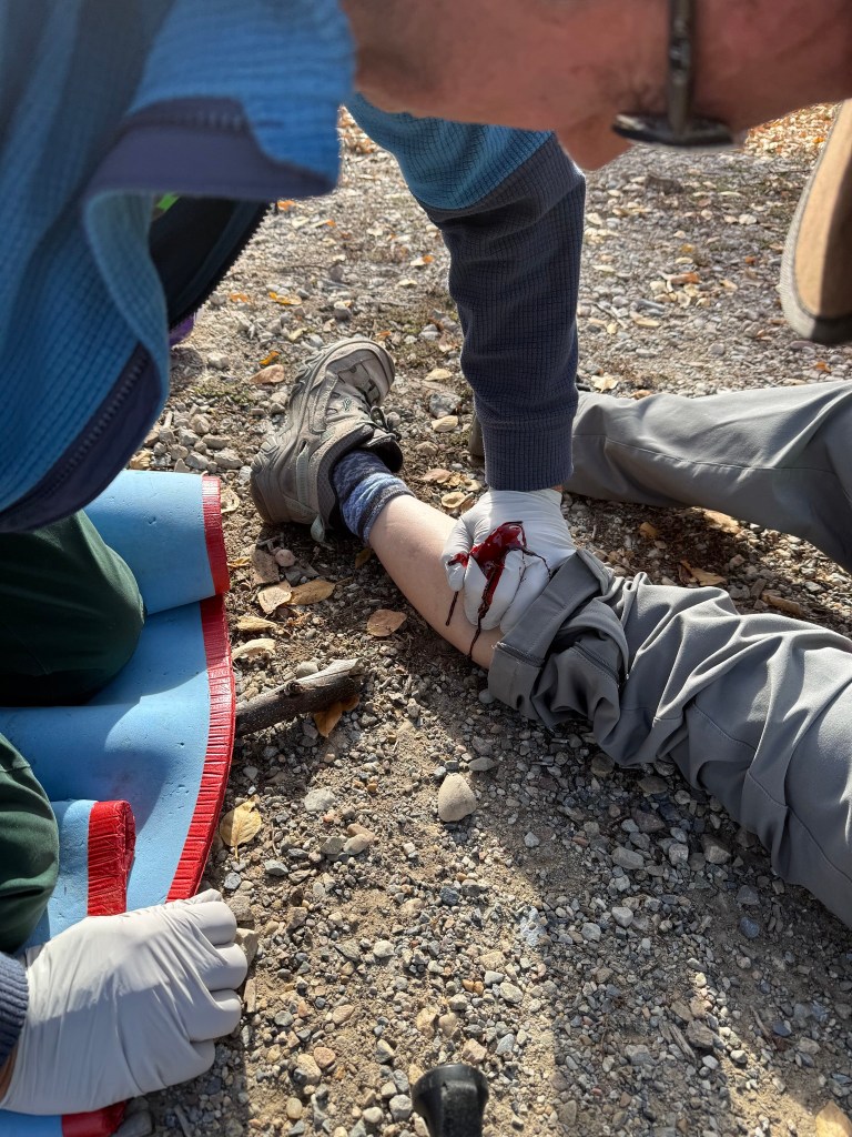
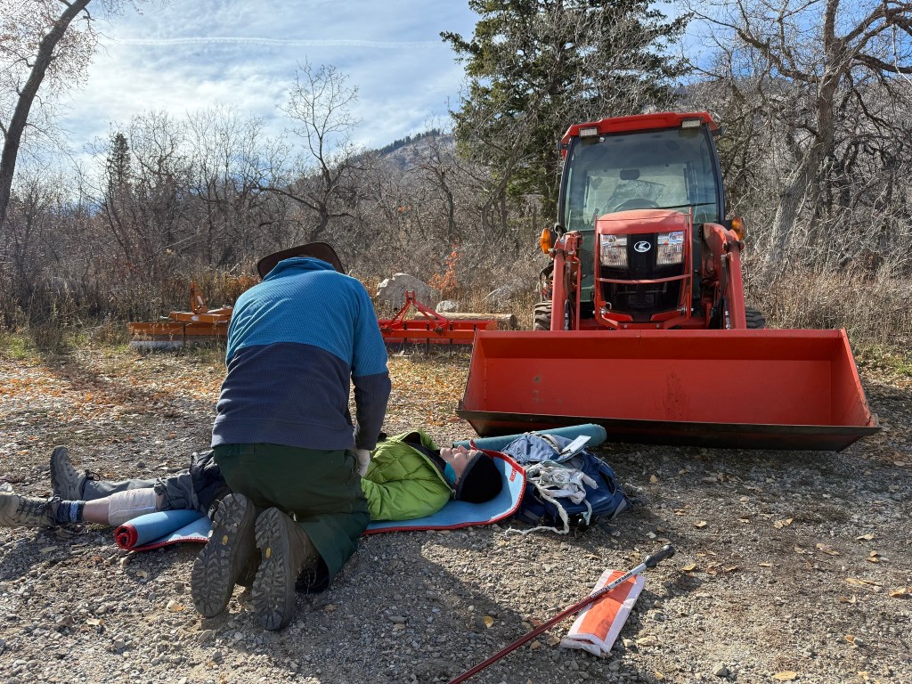
Trail running event gone wrong.Tripped and fell on a stick.All better now. Pressure bandage on my leg.Apparently, WordPress gremlin won’t allow me to straighten the photo. Anyways, good for 2 years.
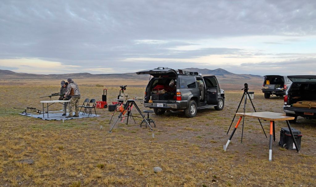
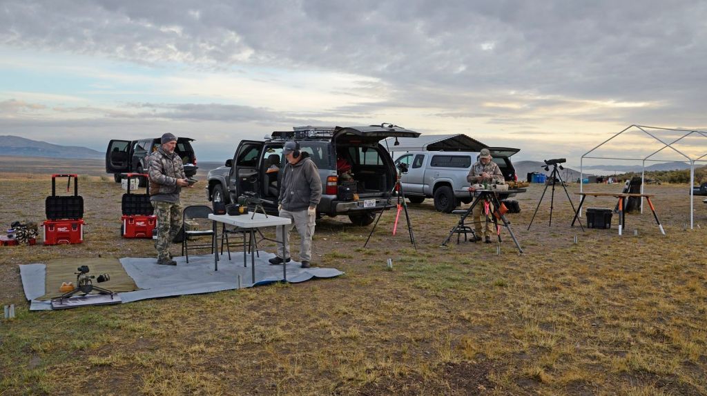
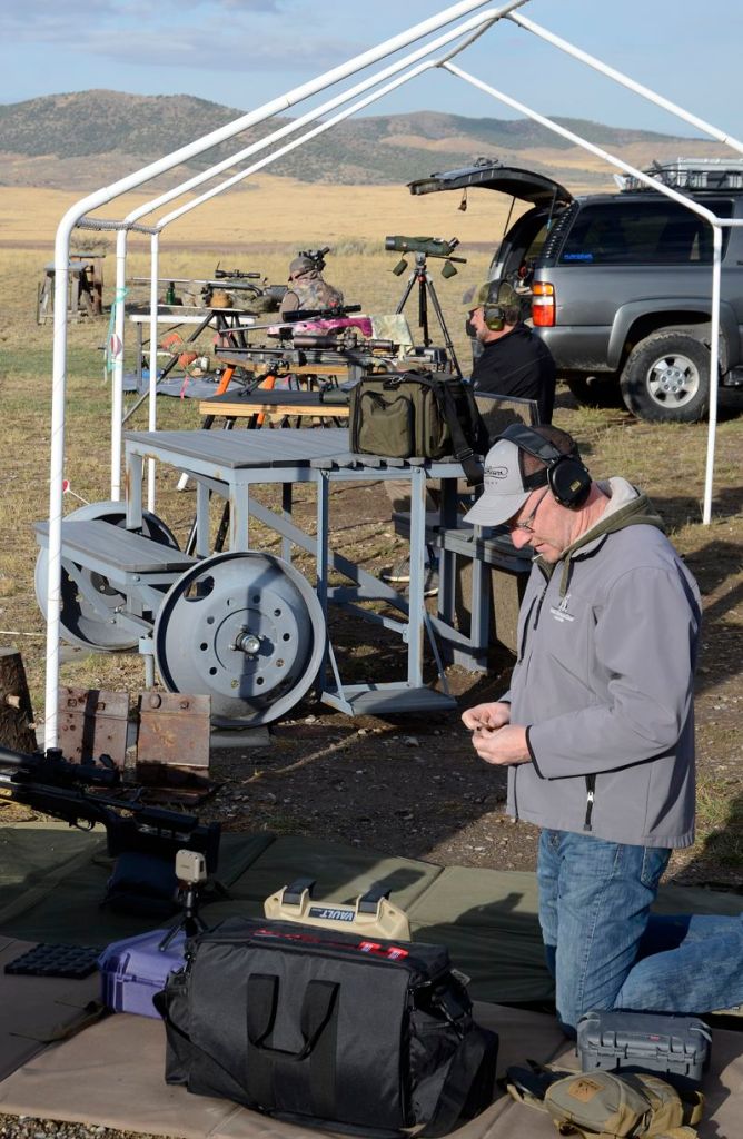
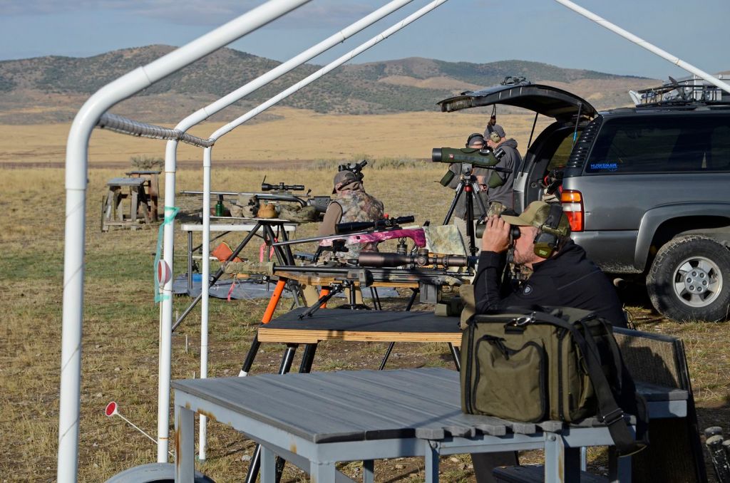
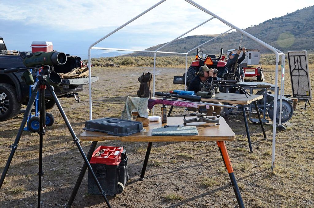
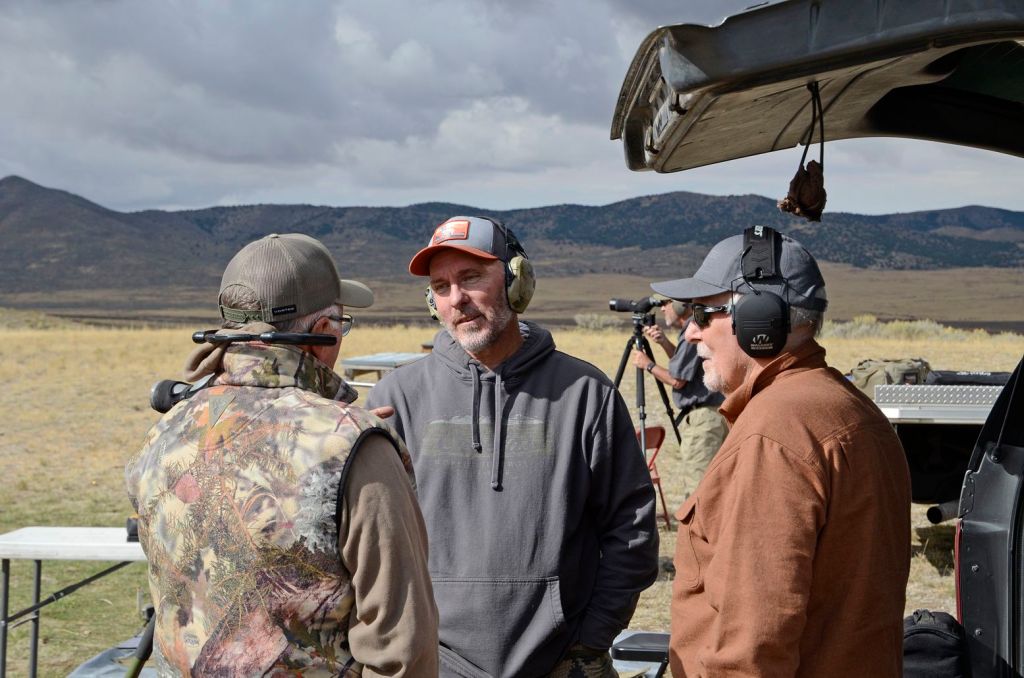
As I have been busily adding the hiking miles to prepare for my January climb of Pico de Orizaba, Joel has been working to wrap up the shooting season.
The “Golden Spike Shooting Range” is owned by a friend, and because Joel stepped up to oversee most of the target maintenance, he has been given access pretty much whenever he wants. This range is about an hour away and is a gem as the targets go out to 2950 yards, over 1.6 miles … think about that! Most ranges are lucky to have the land to shoot out to 1000 yards.
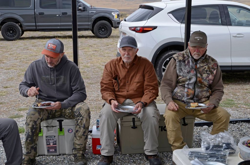
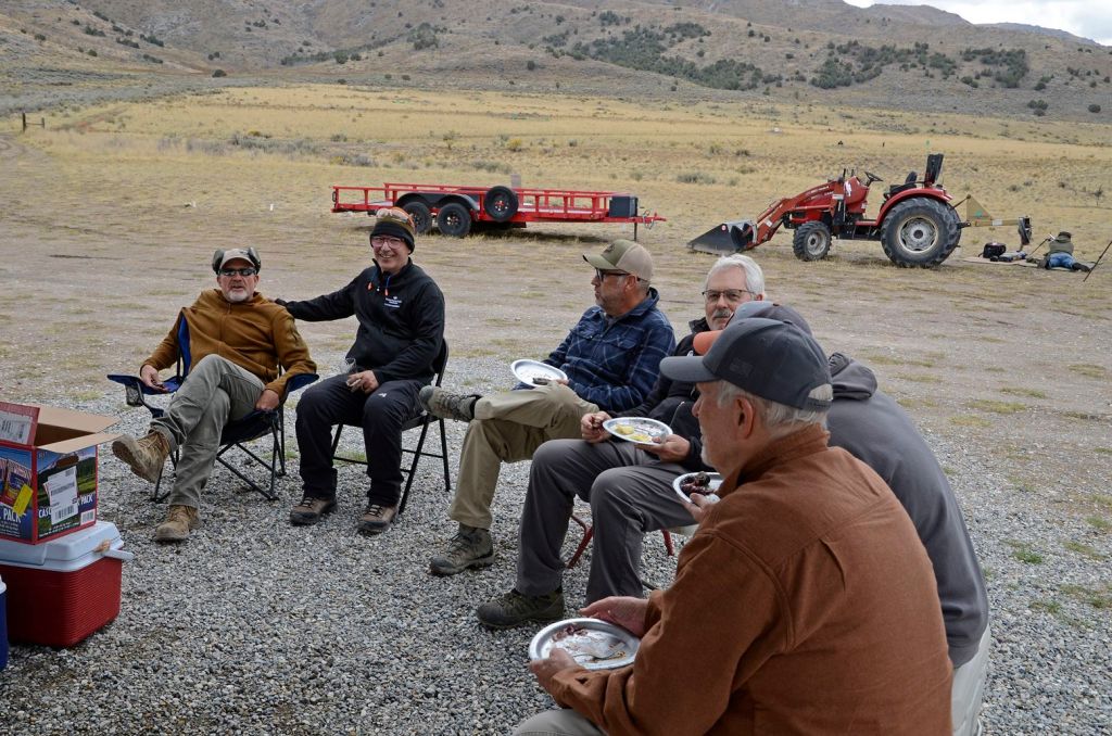
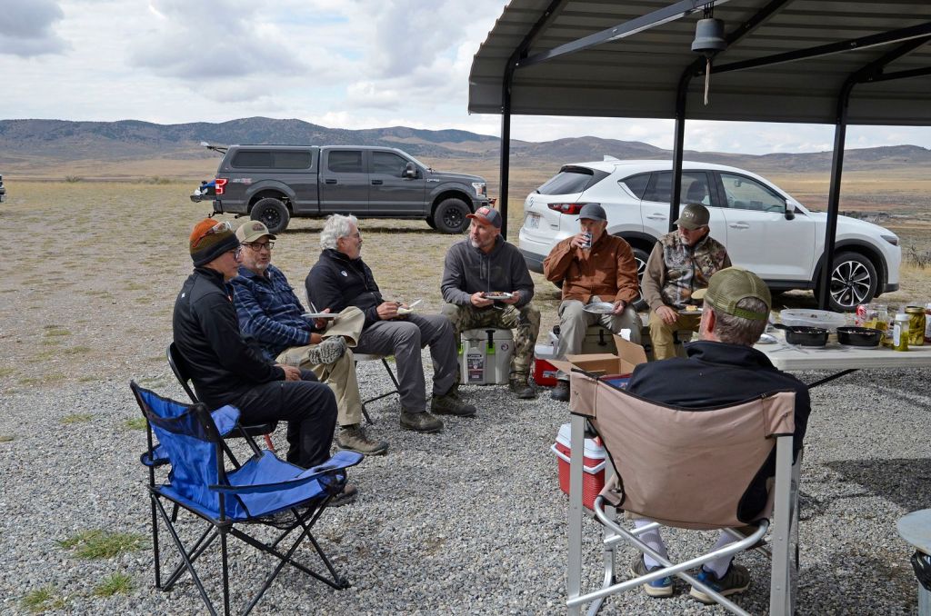
Joel invited about a dozen friends and Range Safety Officers from the local Perry Range, and they met at Golden Spike for a day of long-range shooting, barbequeing, bullshitting, and whatever adult men do with their expensive toys! After our record- breaking rain the day before, the weather held out, and they had a great day.
Joel’s purple gun stands out from the rest!Not sure the logic of setting up a shooting bench under an awning with no cover. Maybe some special force field?Plenty of food and snacks. Joel made his famous potato salad and cole slaw. He is trying to whittle away at the 80# of potatoes he harvested this year.Joel on the far left – sort of hard to tell amongst the scruffy crew.
As Joel was the official photographer, he only ended up in the one photo!
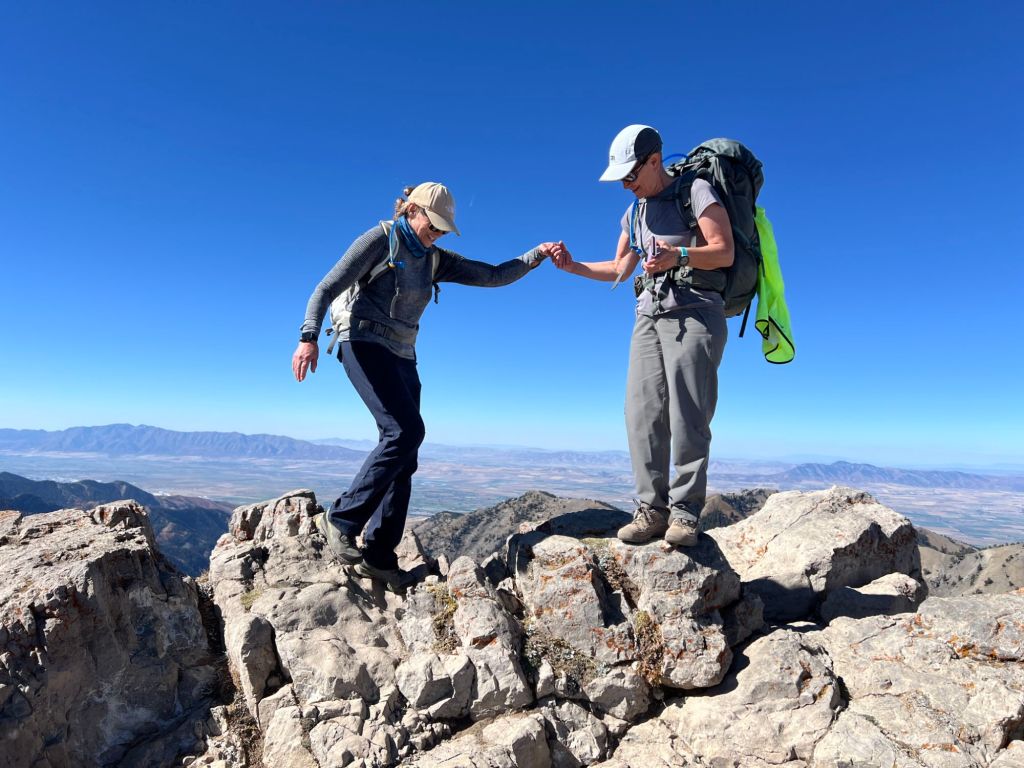
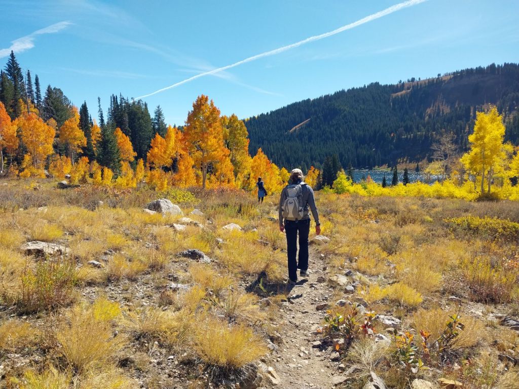
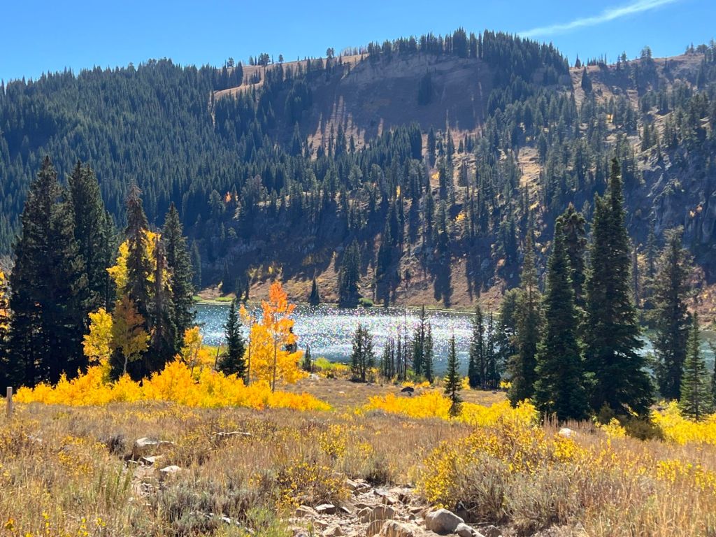
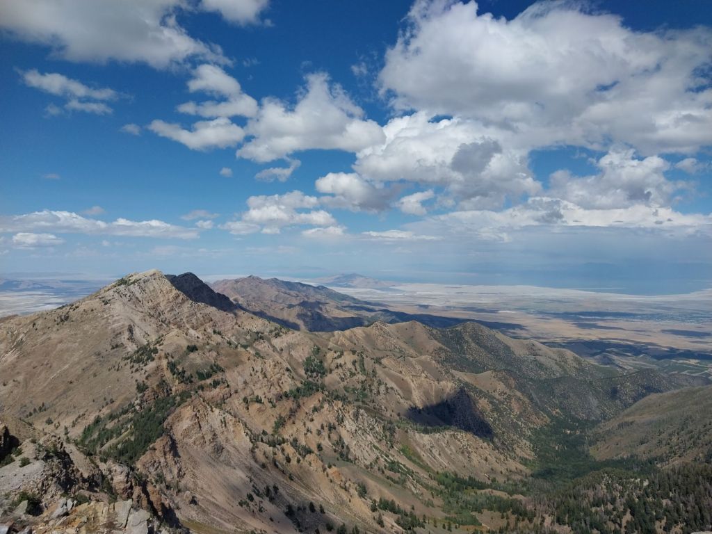
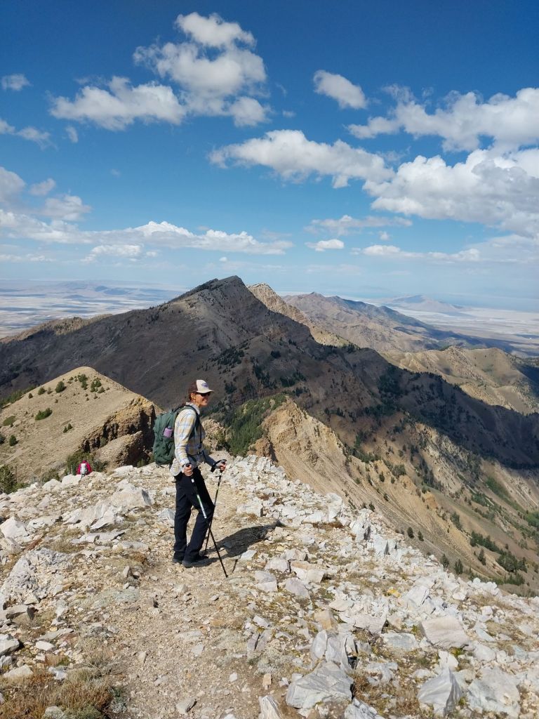
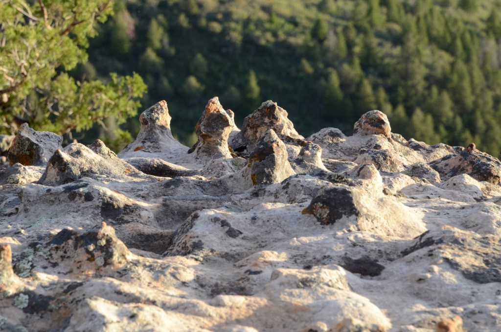
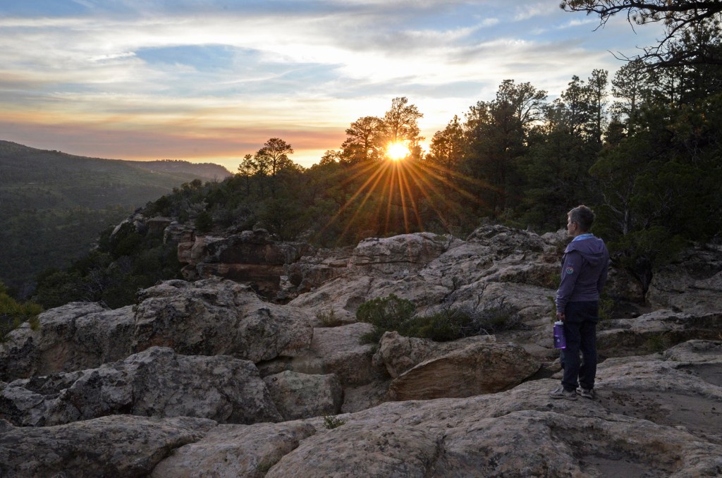
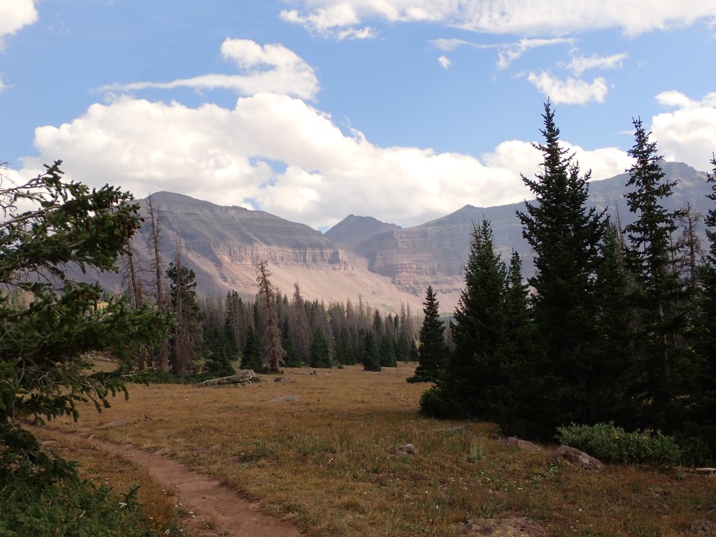
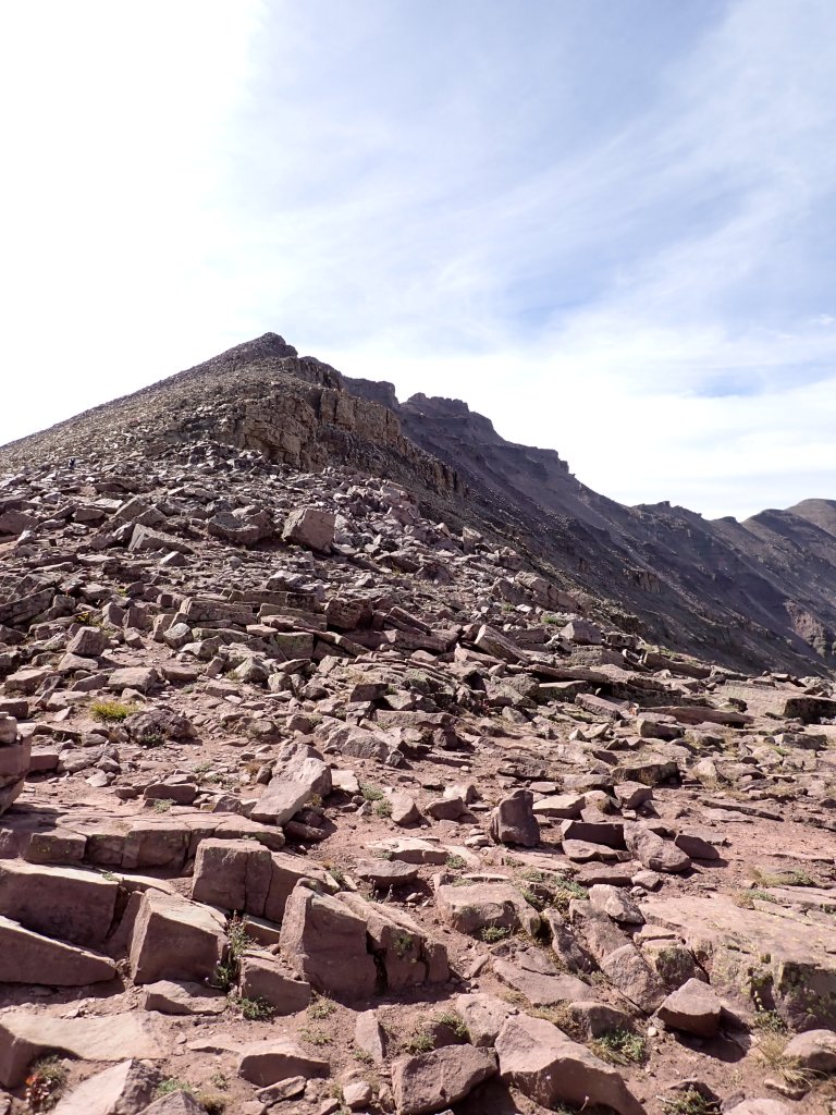
About a two hour drive from our house is Naomi Peak. I think this is one of my favorite hikes in the area. It is a moderately steep hike but pretty short, and the views are amazing. (It is a 6.2 mile hike with about 2,000 ft of elevation gain.) At 9,983′, it is the highest point in the Bear River Mountains.
I went with Kathy and Pam, who are hikers, bikers, and yoga buddies, and we had a great time. The weather was perfect, the leaves at this higher elevation were just peaking, and we missed the storm forecasted for the following day, which dumped over 1.5 inches in the area. The peak actually got several inches of snow! Great timing!
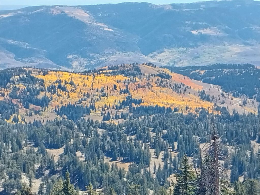
A few last remnants of summer remained.Leaving the parking lot, this was our first glimpse of the leaves.Getting close to the summit.Pam, Kathy, and me on the summit. Kathy didn’t like the rock I chose for the summit shot!Aspen Grove from the summit.Looking back up at the summit ridge.So beautiful!Tony Grove Lake – just about back to the parking lot.
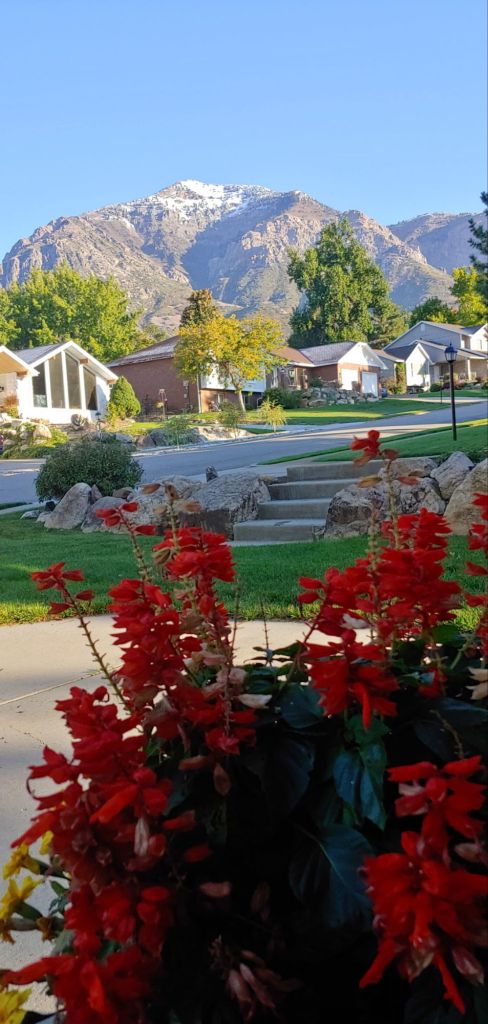
We got back, and the next day got rained on – a lot! In Salt Lake City, they recorded 2.47 ” of rain in 24 hours – the second highest on record.
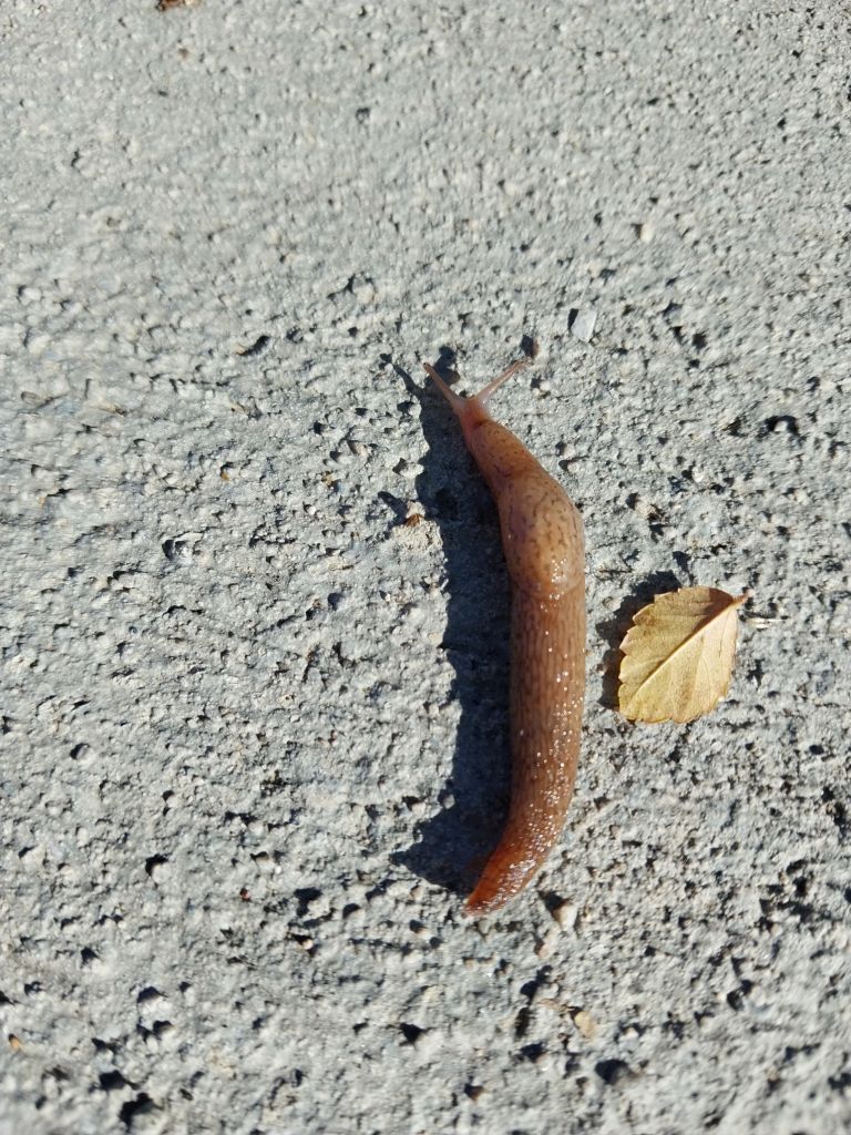
After the clouds cleared, we could see the first snow of the year on Ben Lomond.There was so much rain over the weekend that I actually saw a slug on the sidewalk. An oddity in Utah!
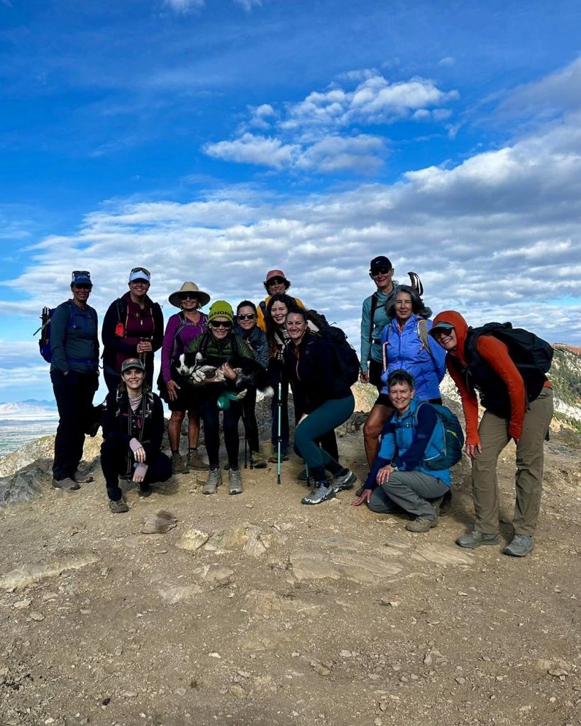
The Women’s Wine Hiking group is based out of Salt Lake City, so most of the hikes and leaders/ambassadors are in that area. When a hike opens up near us, I usually try to join.
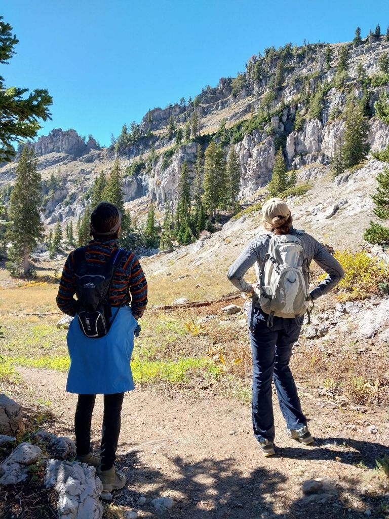
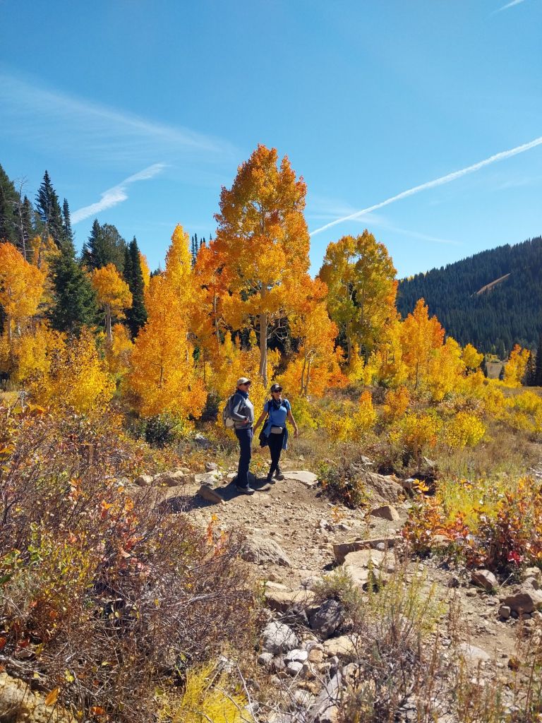
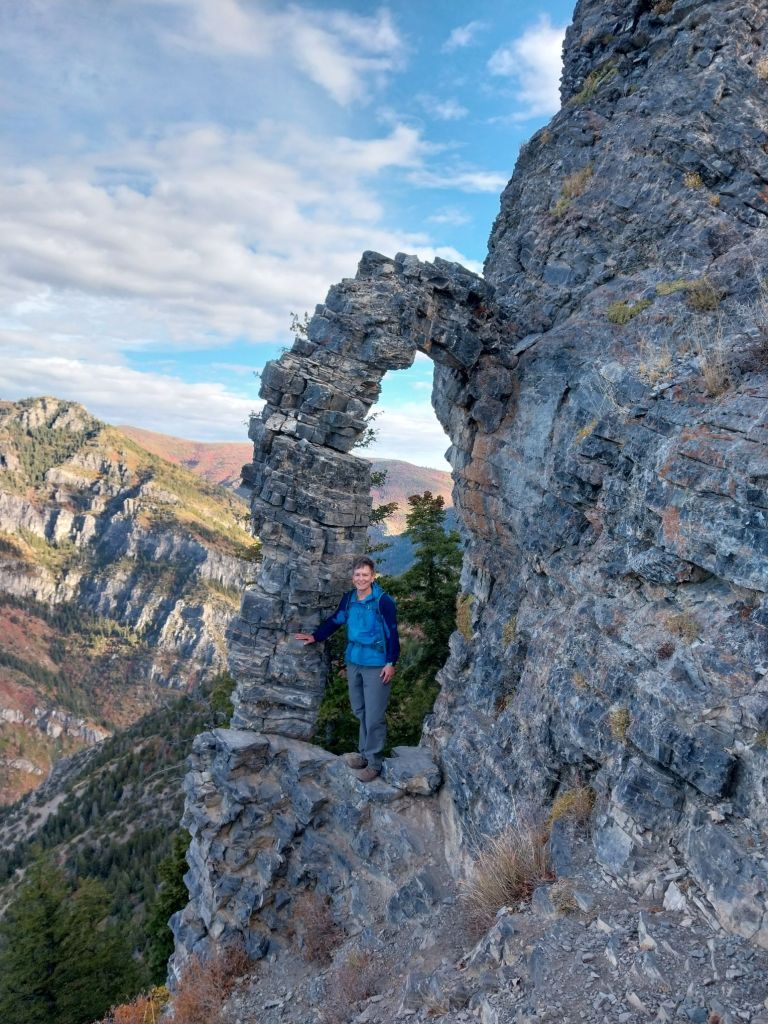
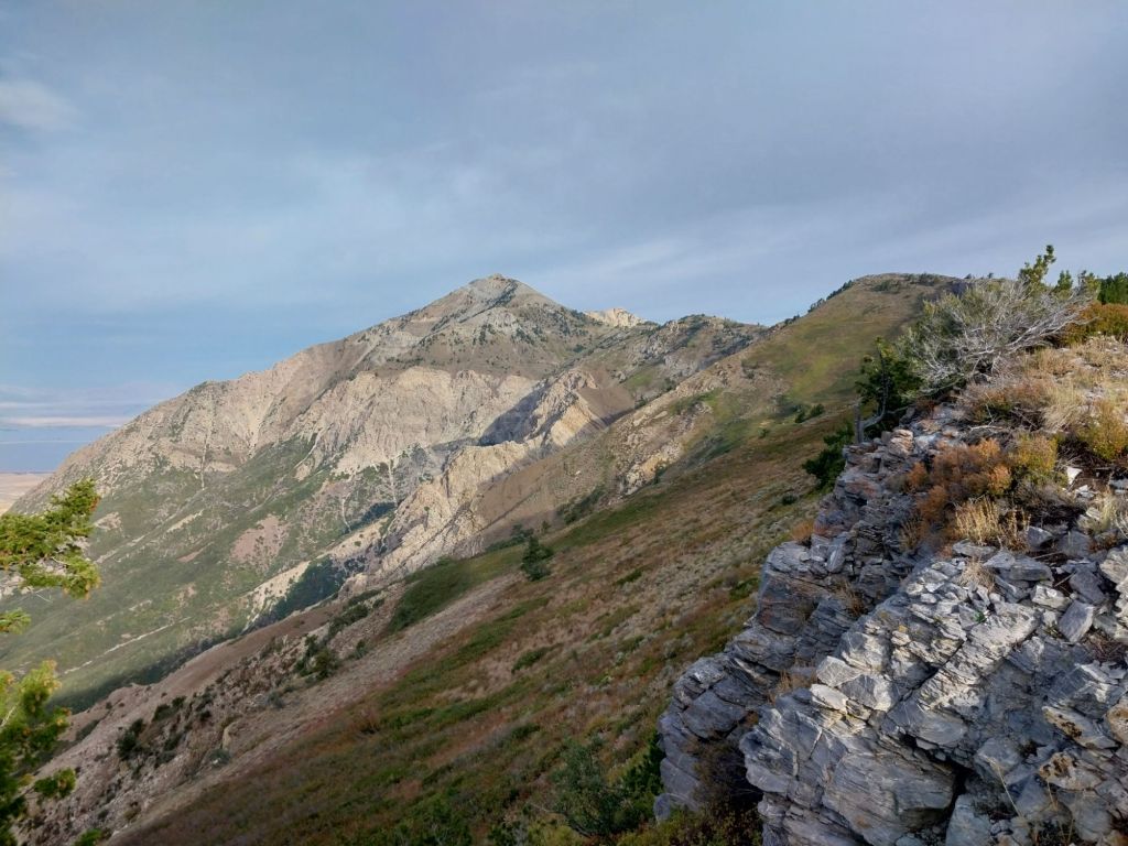
Sardine Peak is accessed through the Snowbasin.parking lot and is about an 8ish mile loop trail. The trail is popular with mountain bikers, but it was pretty quiet when we were there.
Lots of leaf gawkers were out, but the colors were a little past their prime. Nevertheless, it was a pleasant day!
Hidden arch that is accessed by dropping down off the main trail.Looking back at Mt. Ogden and the Snowbasin ski resort.Pretty big group today, which included two dogs. I like this underexposed photo as my hair looks brown instead of gray! HAHA
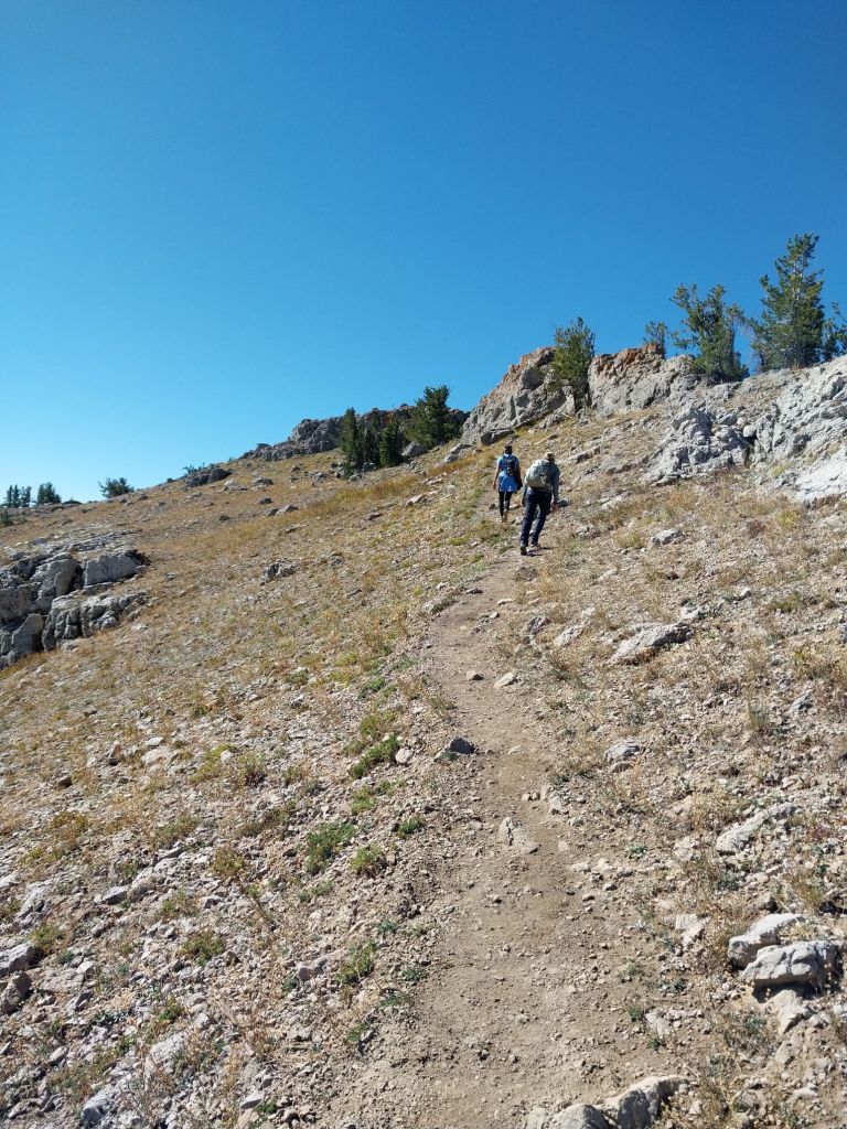
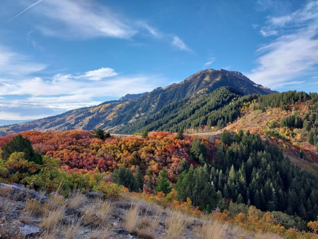
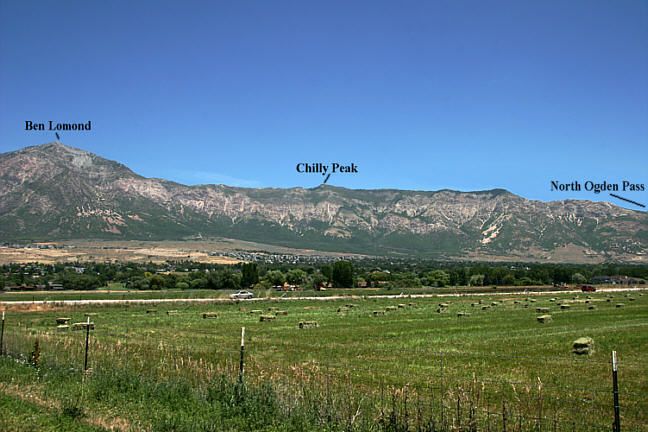
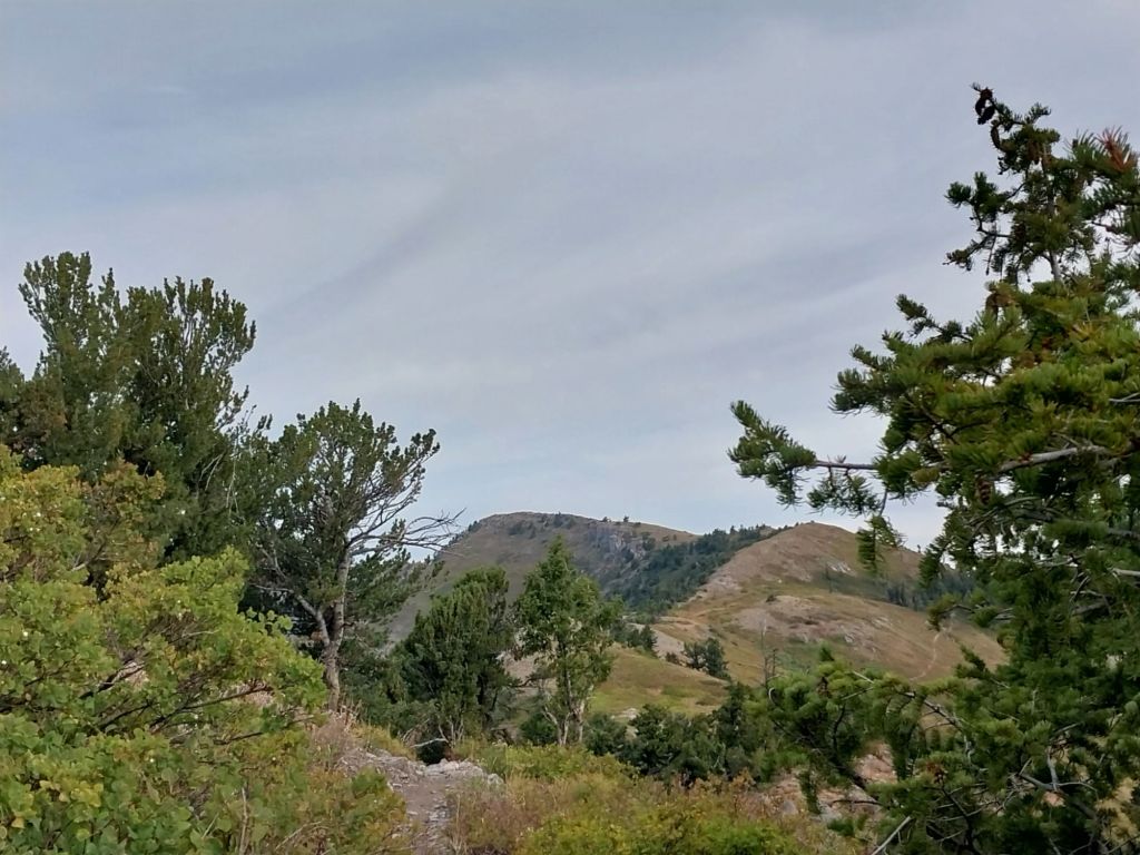
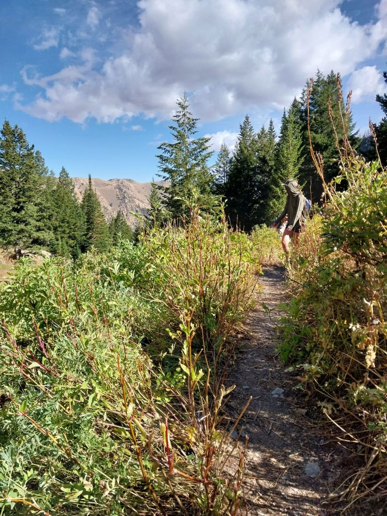
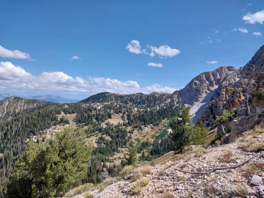
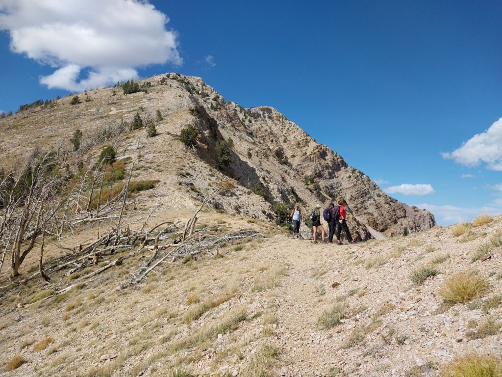
On the ridgeline of the 8 mile hike to the top of Ben Lomond is a relatively untravelled trail. This trail leads to Chilly Peak. It gains about 2,500′ in 4 miles – not super steep but good training with a loaded pack.
I took Kathy up there a couple of weeks ago and then headed up myself again on Friday. Not a lot of folks on the trail, but as I was on my way down, the motorbikes showed up. As it is a multi-use trail, the bikes are allowed. The good thing is that it is now getting close to hunting season, so hopefully, the motorbikes scare the wildlife enough that they don’t spend a lot of time being visible!
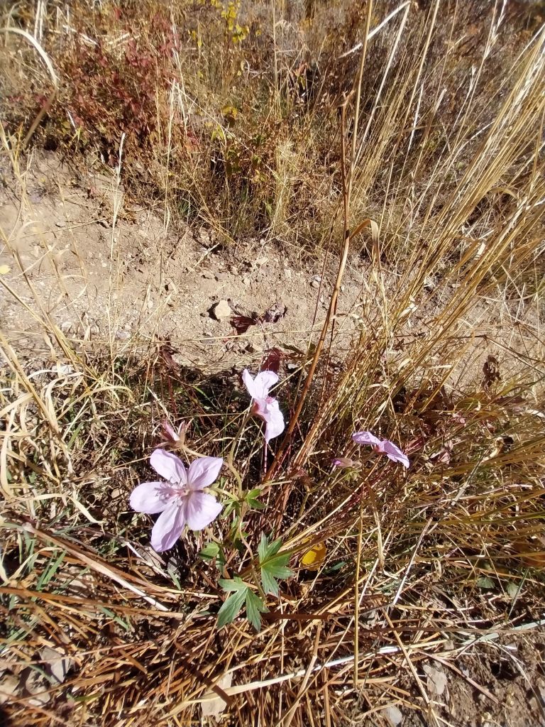
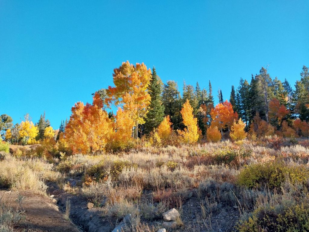
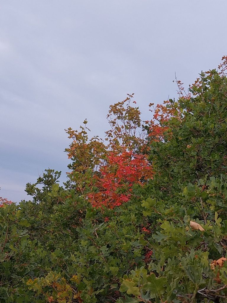
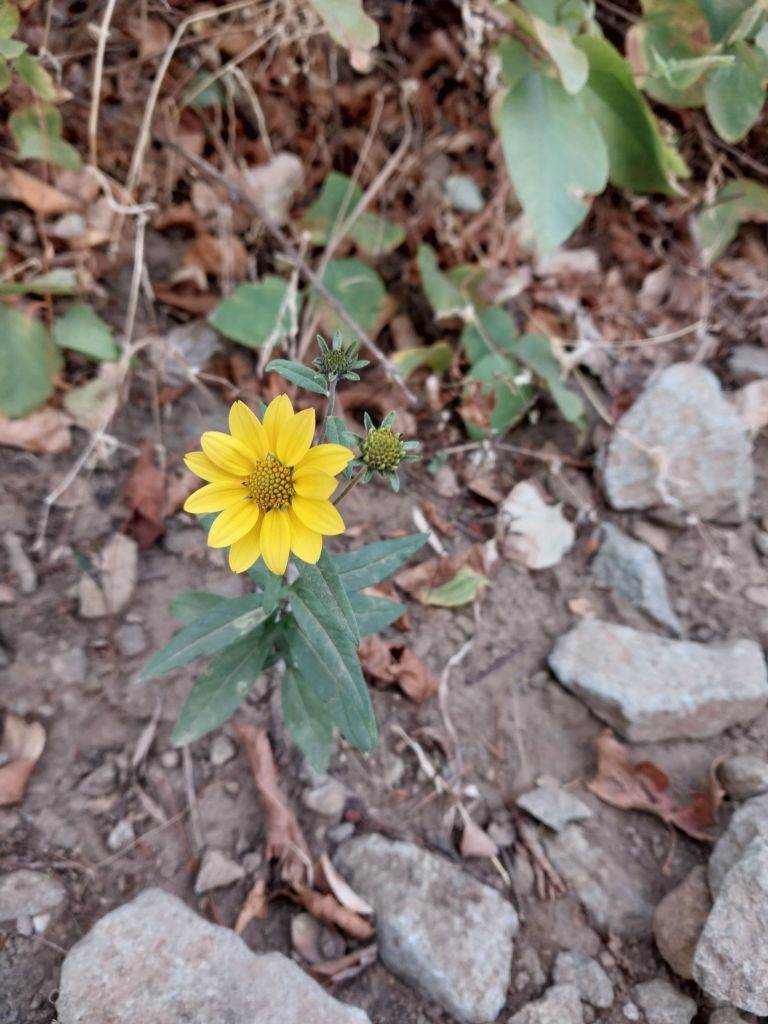
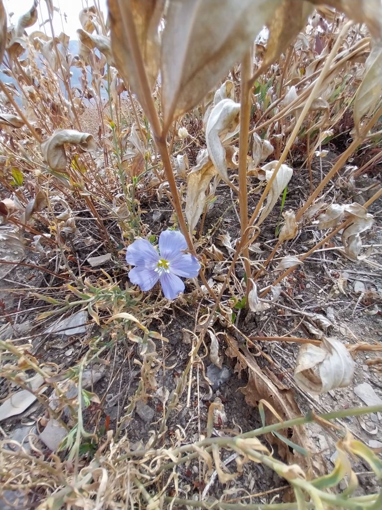
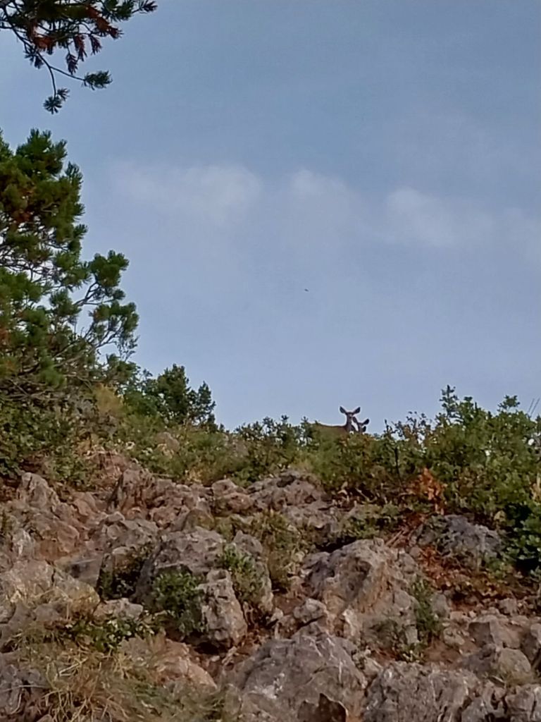
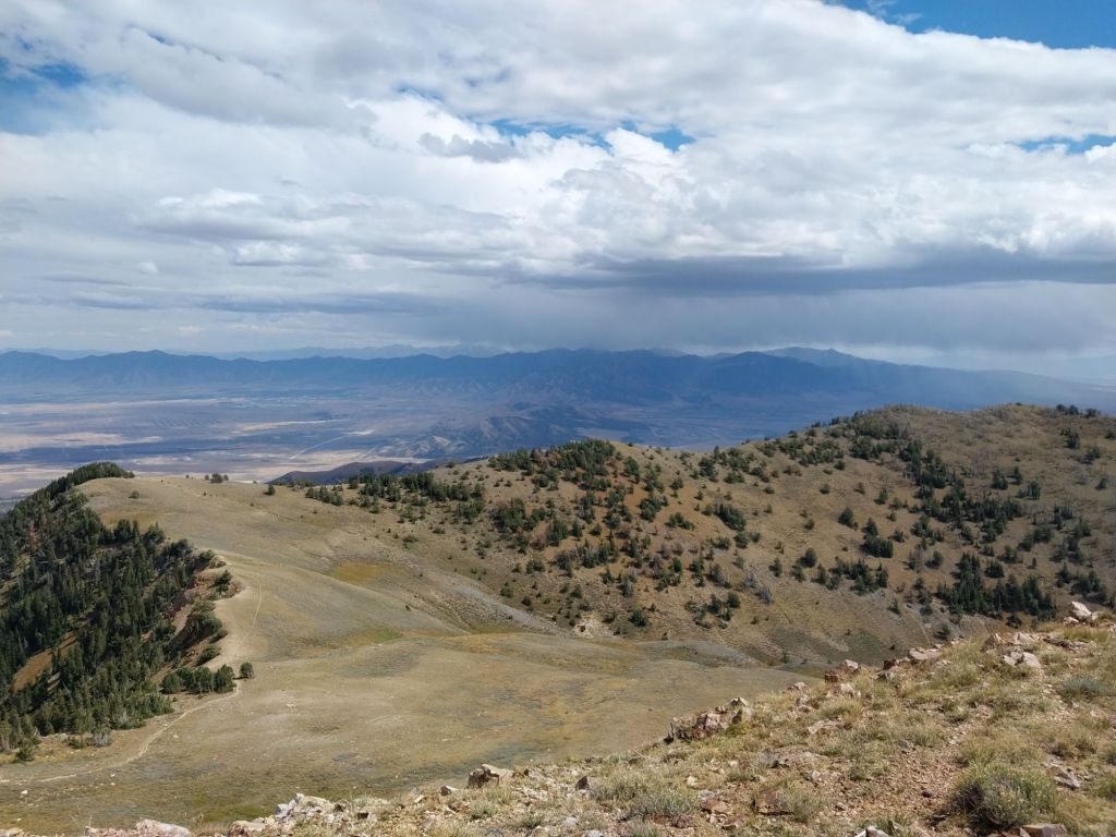
Near the first major viewpoint to the east with the Pineview Reservoir in the background. Beautiful sunrise – it pays to leave early!This year promises to be a mediocre color year due to the lack of moisture. A few maples beg to differ!There were a couple of flowers still blooming, which was unecpected and nice to see.As I popped up the ridge, a welcoming party of a doe and her 2 fawns greeted me.Looking back towards Lewis Peak and Mt. Ogden.
There was a nice breeze on the top, and the passing clouds kept the temperatures down on both days that I hiked up there.
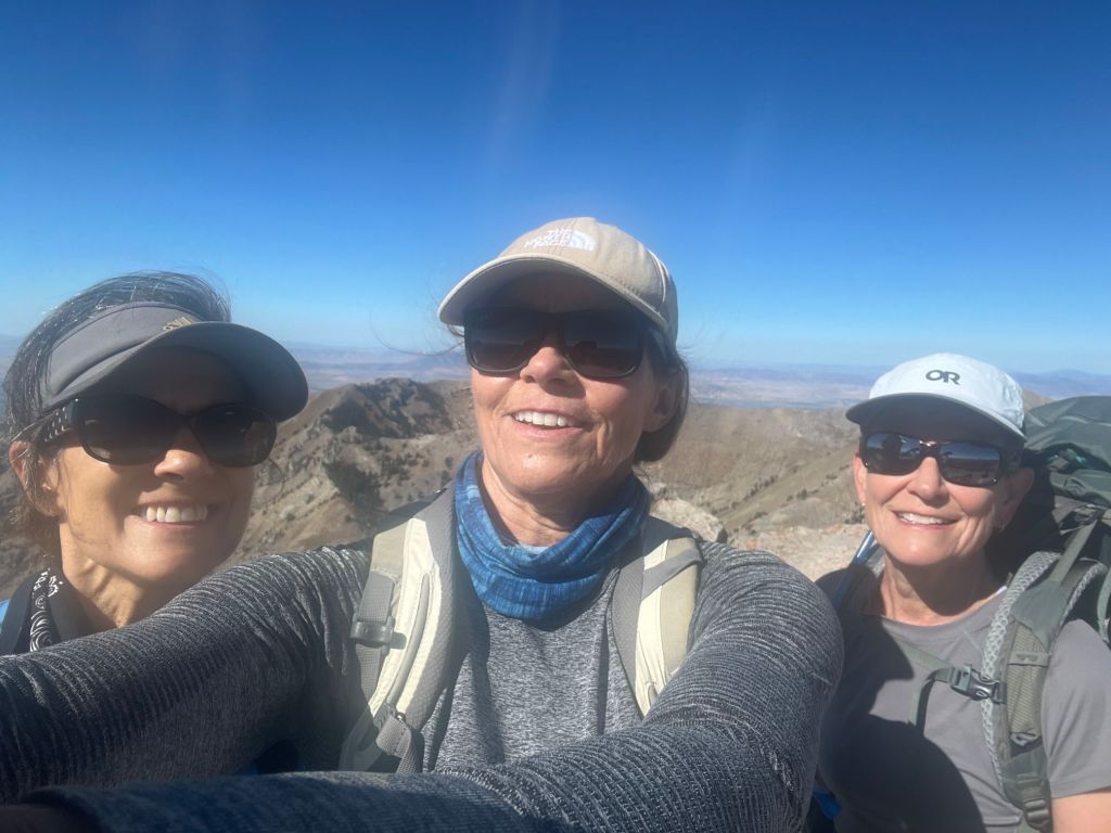
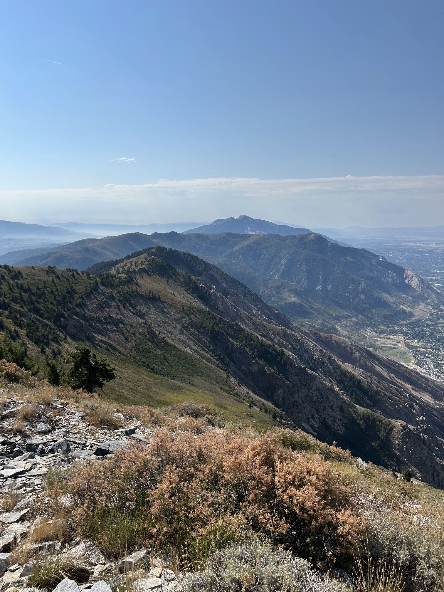
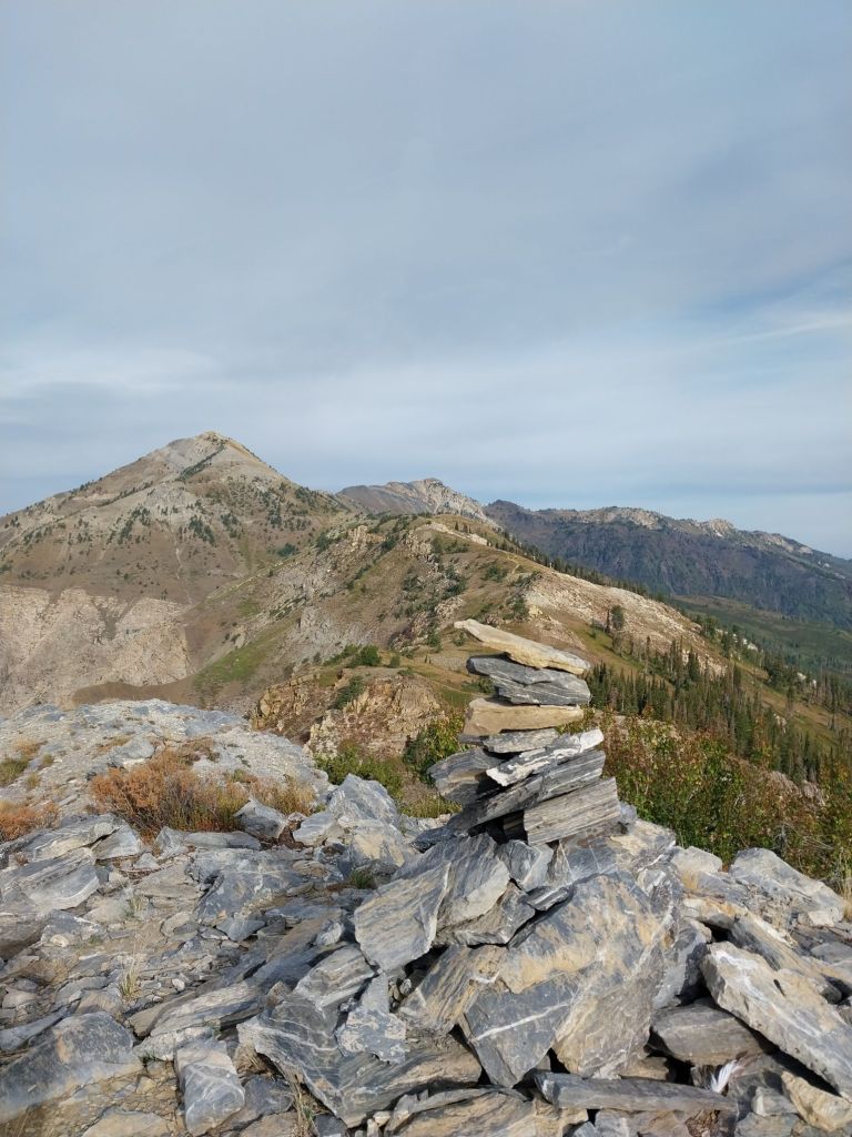
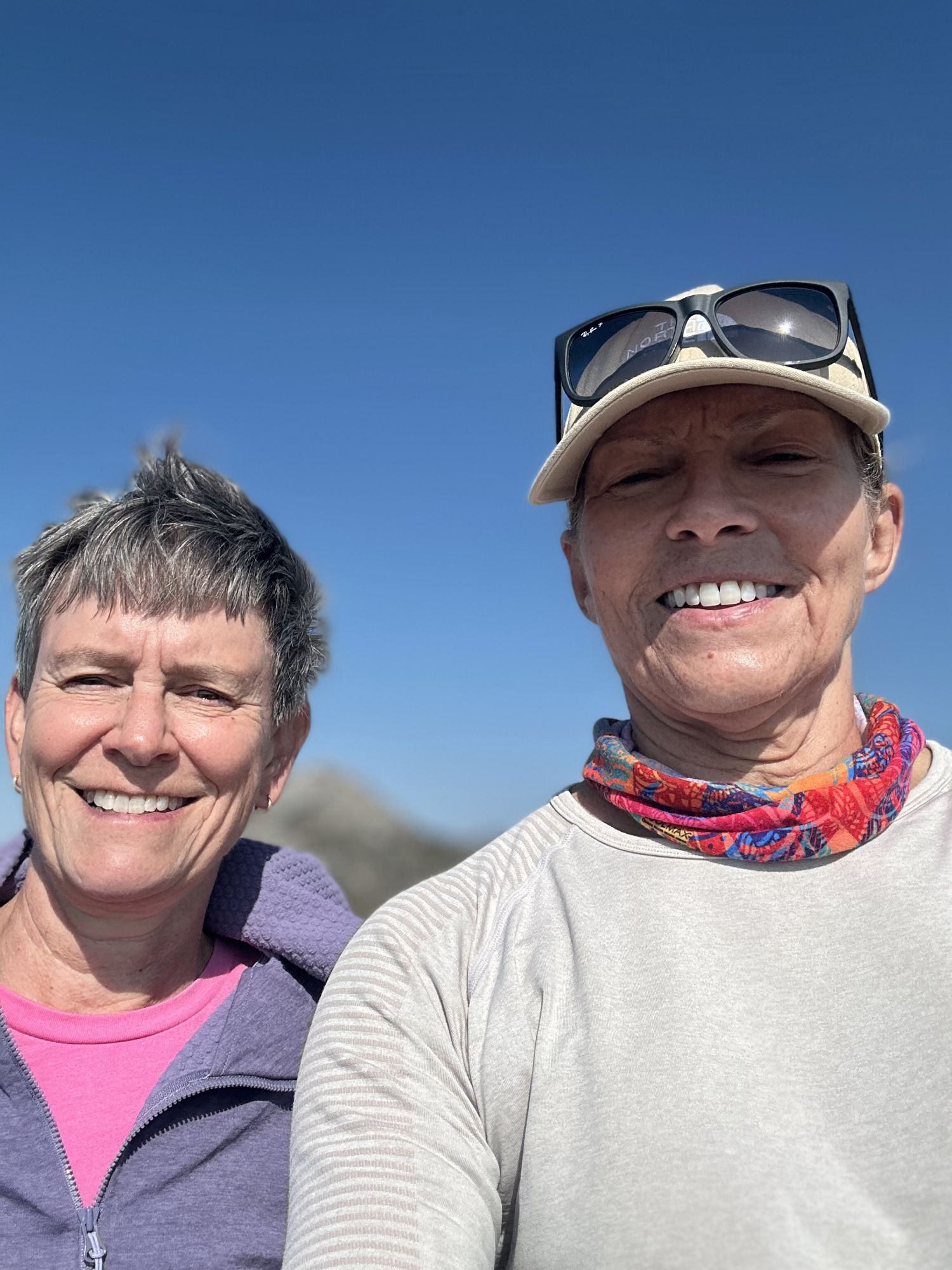
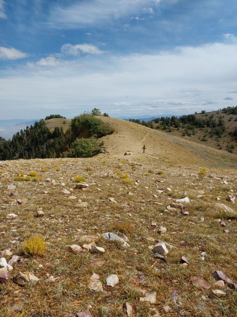
Chilly Peak on the right skyline, Ben Lomond is the highest point (about 3.5 miles) and Willard Peak is just popping into the sun in the way back, about 2 miles past the Ben Lomond summit.Chilly Peak in the distance.Summit cairnSummit shot with Kathy.
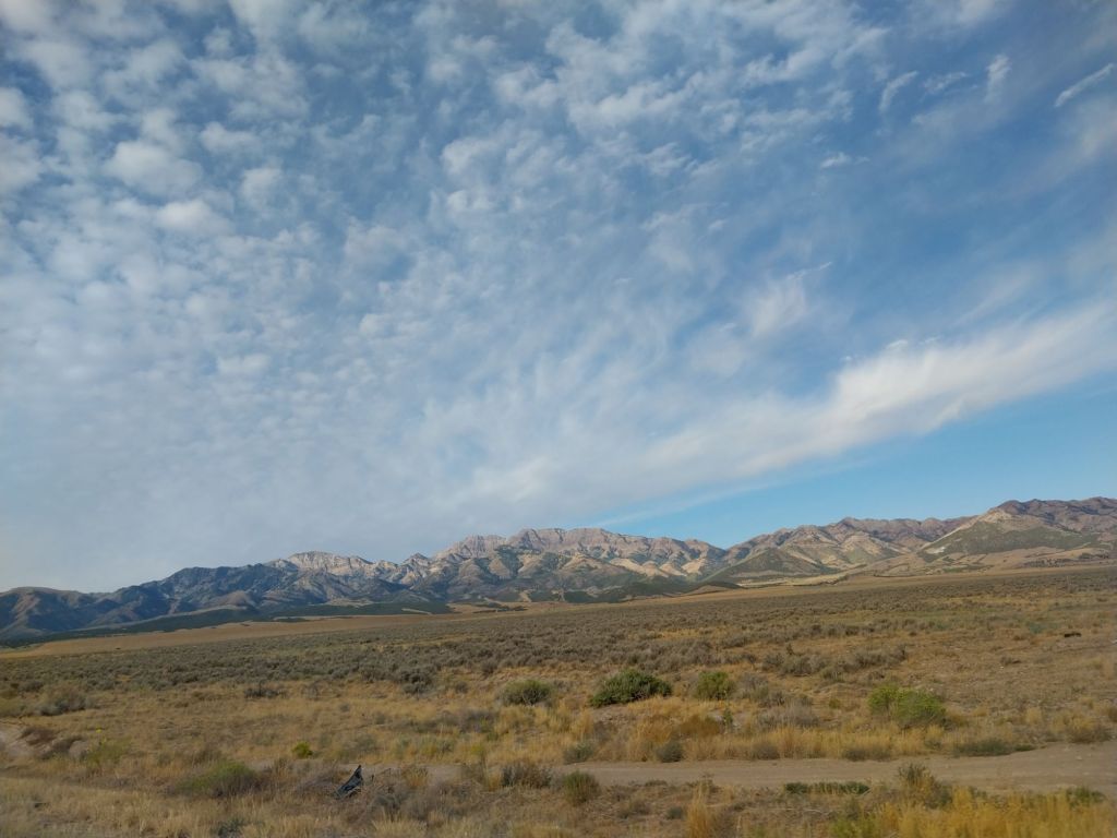
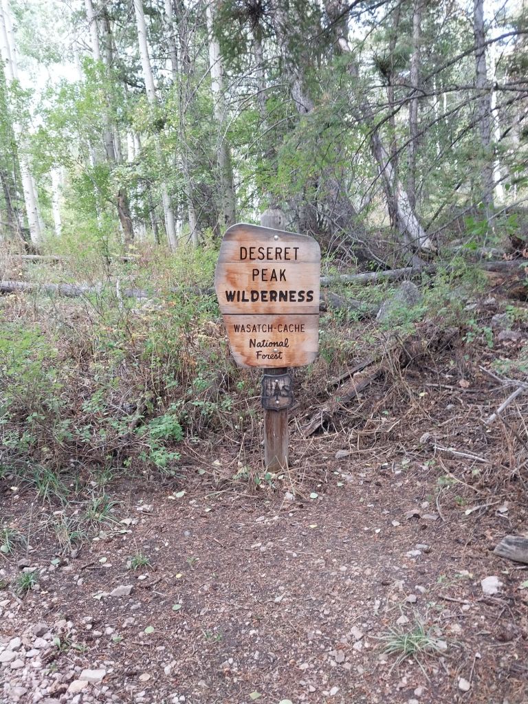
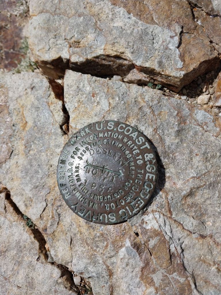
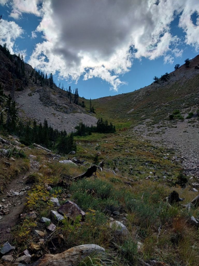
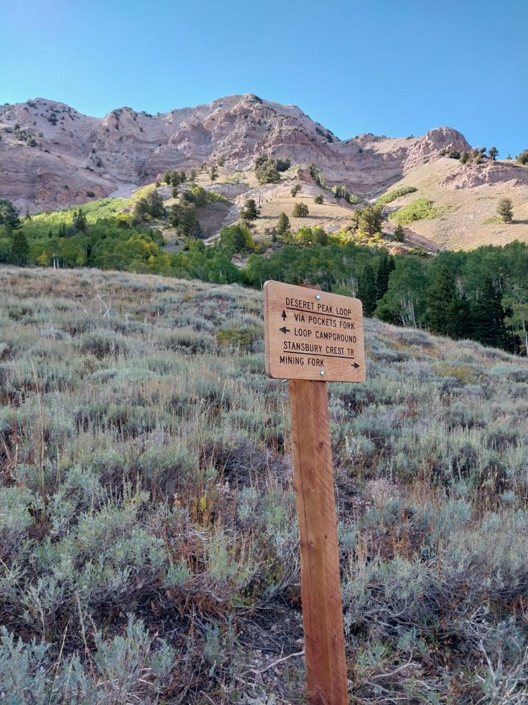
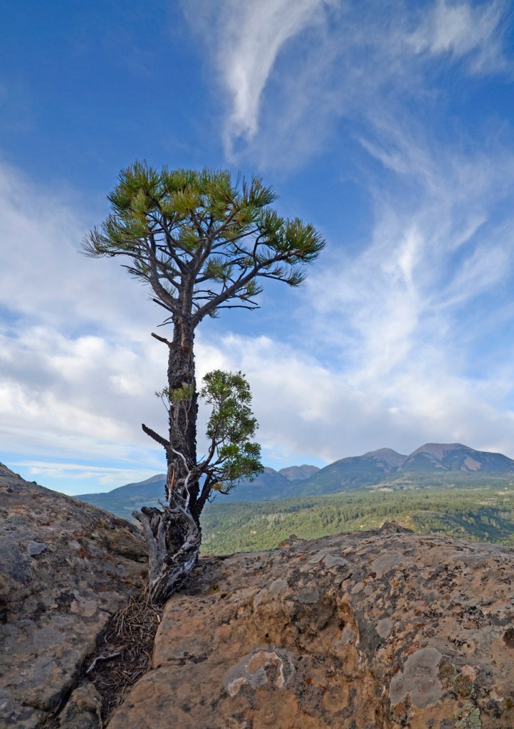
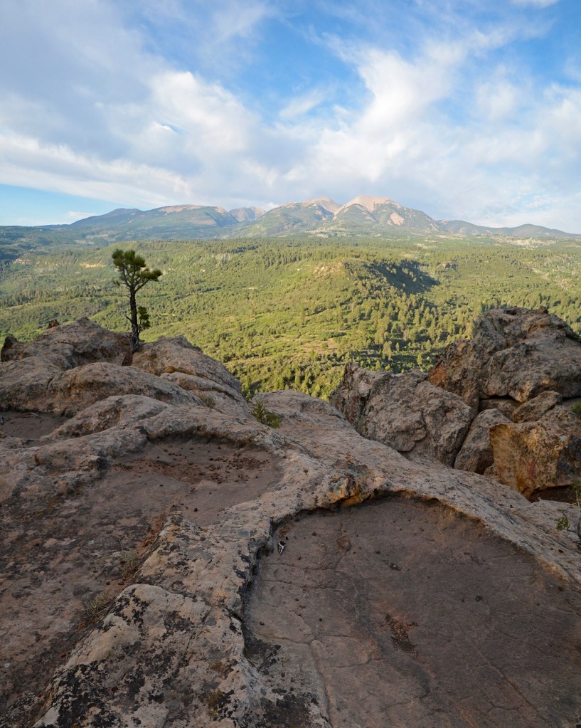
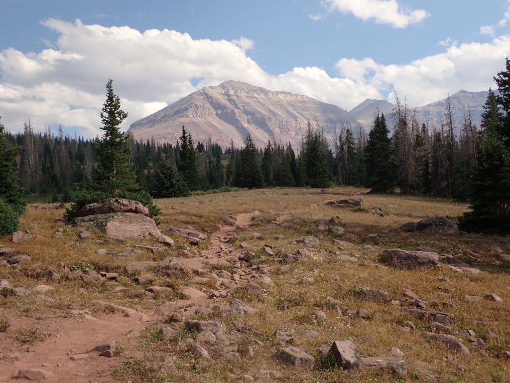
Approaching the trailhead, Deseret Peak is the highest point on the skyline.
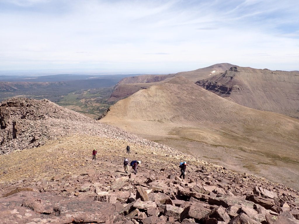
At a little over 11,000′, Deseret Peak is a recognizable mountain on the western horizon on days with clear skies. Joel and I had climbed it in 2009. At that time, the most memorable part of the climb was the fact that the access road to the trailhead was washed out, which added 3.5 miles each way to the already 8 miles on the mountain. This was in the age before easy to access trail reports, so we had no idea about the road conditions. Joel also remembers having to ice both knees when we got back home!
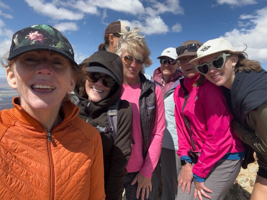
Kathy, a friend from yoga who is also a hiker and biker, grew up fairly close to the peak (about a 2 hour drive from our house). She and her younger sister have a tradition of hiking the peak every year. With a few exceptions, they have done this since the early 2000s. She was nice enough to invite me along, so I gladly accepted.
We had a group of 7, which included Kathy’s sister, niece, and several friends. It was a fun group and we had a great time, the weather cooperated, and we all made the summit.
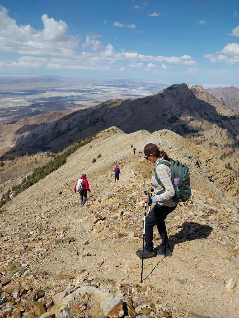
The one thing I did remember was that the trailhead was steep! The total elevation was 3,900′ in 3.8 miles going up. We took the loop trail back down, which was a little less steep, but not by much.
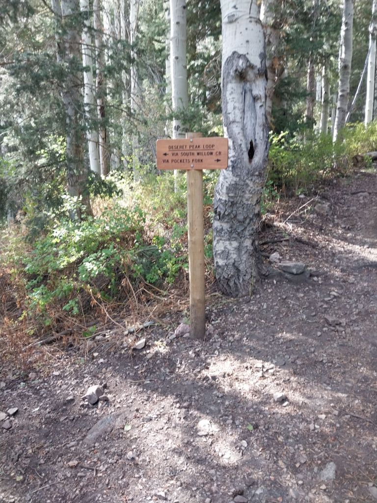
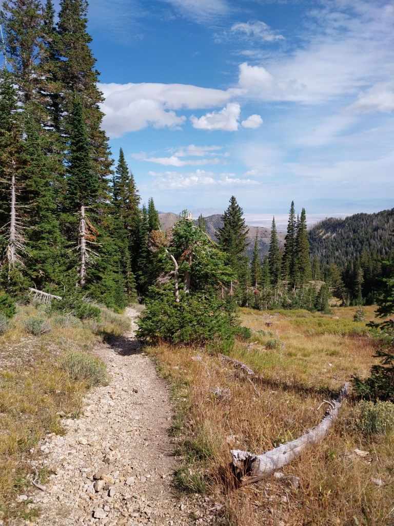
The trailhead starts out in a fairly heavy forest which provided welcome shade for most of the hike.A lot of the signage looked new.There were several basins/meadows that we wandered through on the way to the saddle.
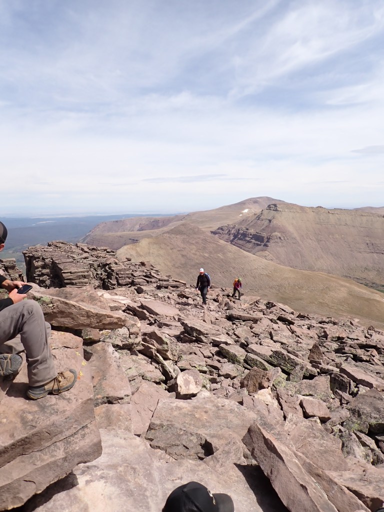
It took about 3 hours to get to the saddle and then about an hour to the summit from there. I am starting to train for my Mexico Volcano trip next January, so I was very happy that we stopped for rest and snack breaks! My pack wasn’t too heavy, but I certainly felt a bit tired at the top.
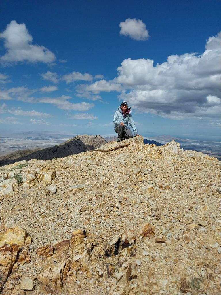
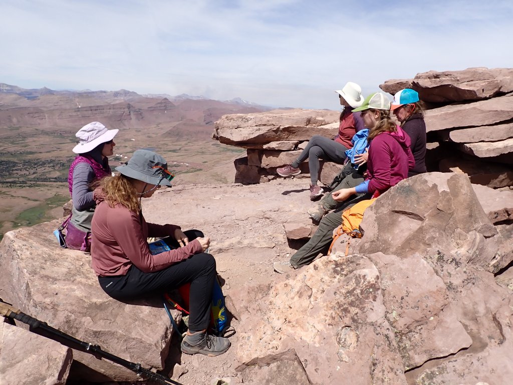
Amazing 360-degree views approaching the summit.Summit shot – all smiles for a job well done!Quite windy on the top.
After lunch, photos, and hydration, we headed back down.
Still steep!Looking NW towards the Great Salt Lake – or what is left of it.Carolyn looking east towards the Salt Lake area.A few clouds rolled in and we could see some rain showers popping up but nothing but a bit of wind for us.Red dot in the middle of the photo is one of our group. Yes, steep on the way down, too!
All in all, a long but fun day. I think we ended up close to 9 miles. It was a quiet ride home as we were all pretty tired!
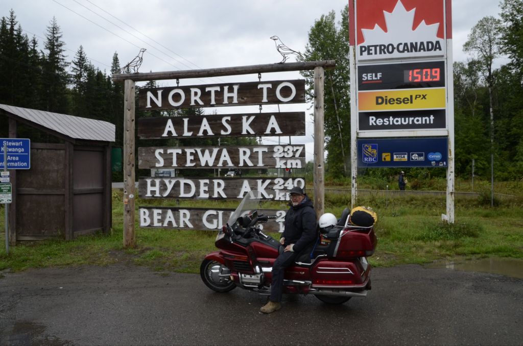
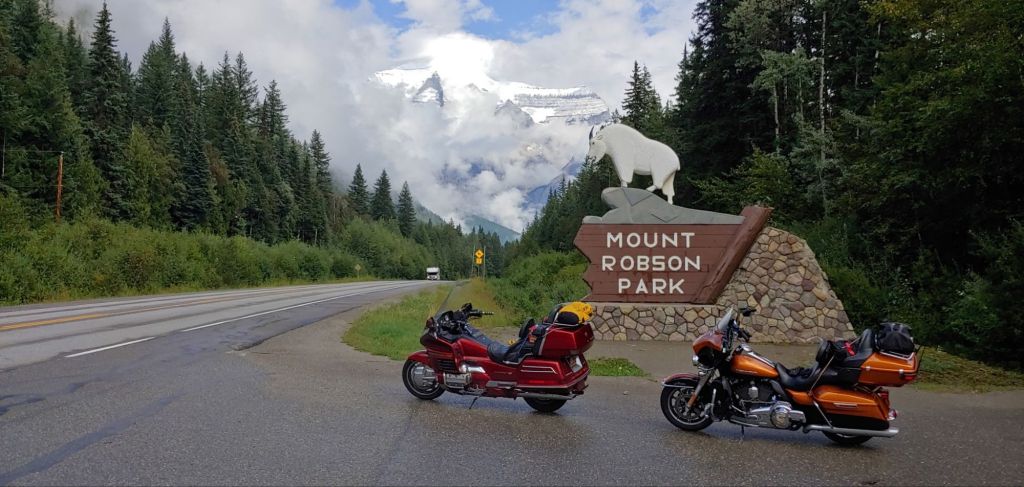
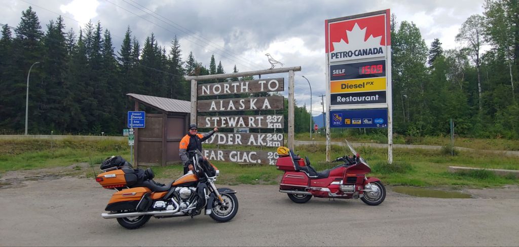
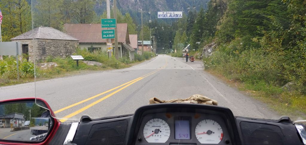
Joel and his friend Todd had been planning a motorcycle trip to Alaska for some time. Their goal was to travel through Canada to Hyder, AK, which is the southernmost point. Last month, everything clicked, and the adventure began. Joel drove 710 miles from North Ogden, UT, and Todd drove 860 miles from Waverly, MN to meet the first night in Billings, MT.
Todd in Billings, MT
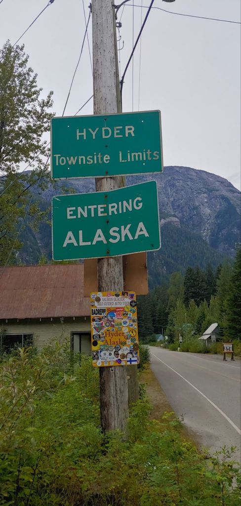
As Todd is a retired law enforcement officer, he got great discounts at some of the major hotel chains, so there was not a lot of roughing it! The route took them through Canmore, Jasper, past Mt. Robson, to Prince George, Stewart, BC, and then 2 miles from there to Hyder.
They made it to Hyder but didn’t stay long. The drizzle and rain had followed them most of the way through Canada!
They turned around and headed home basically the same way – 8 days and 4320 miles total for Joel! My rear end is sore just thinking about it!
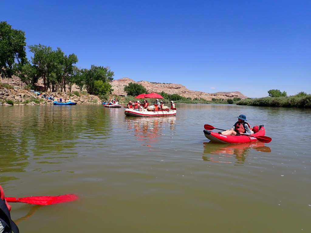
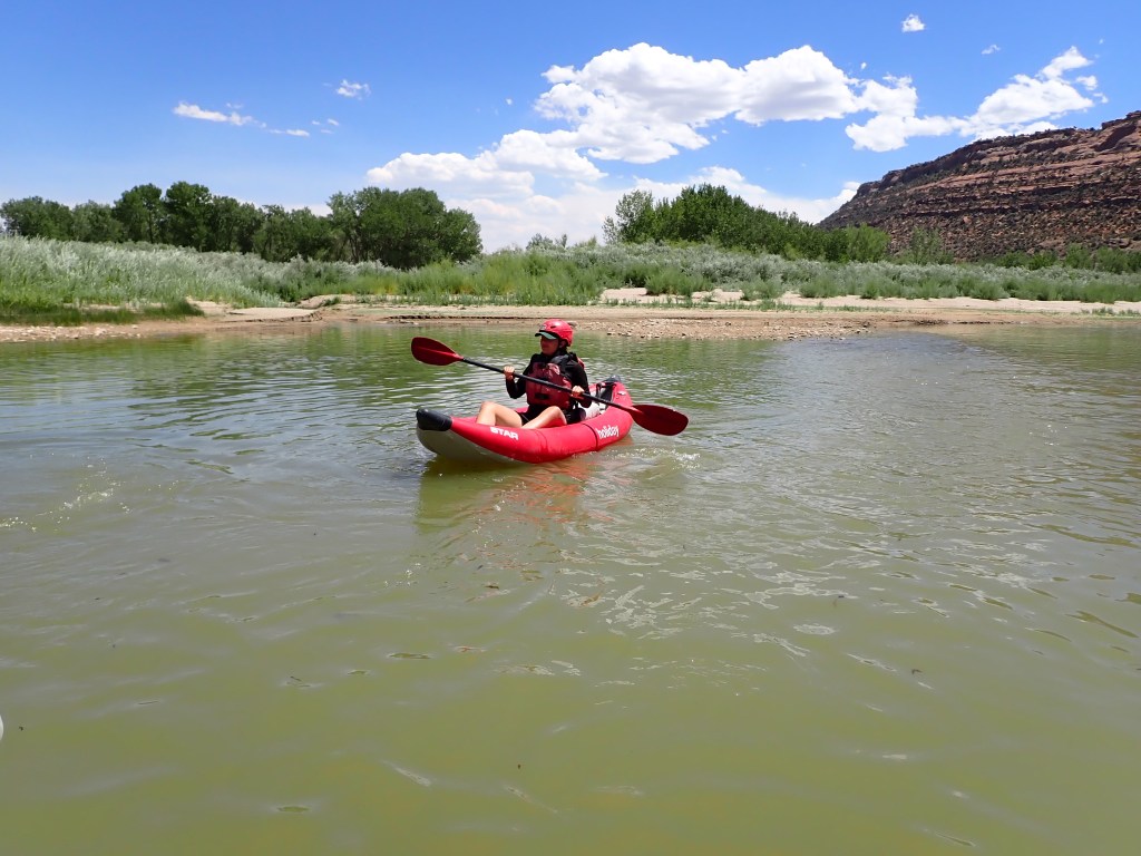
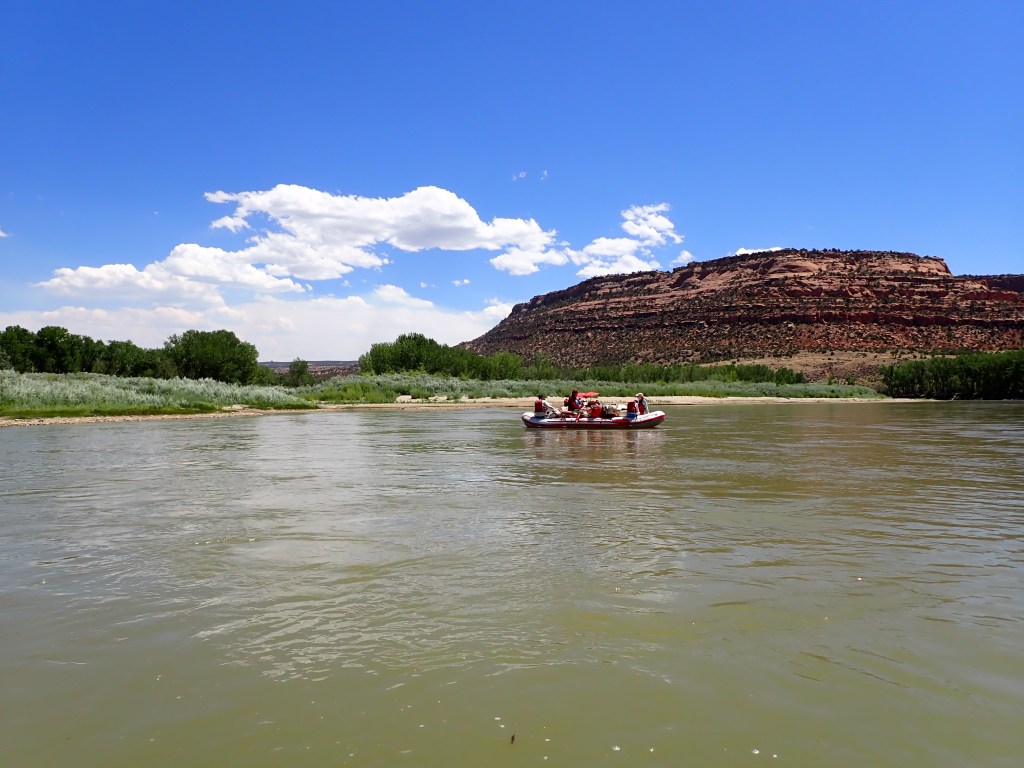
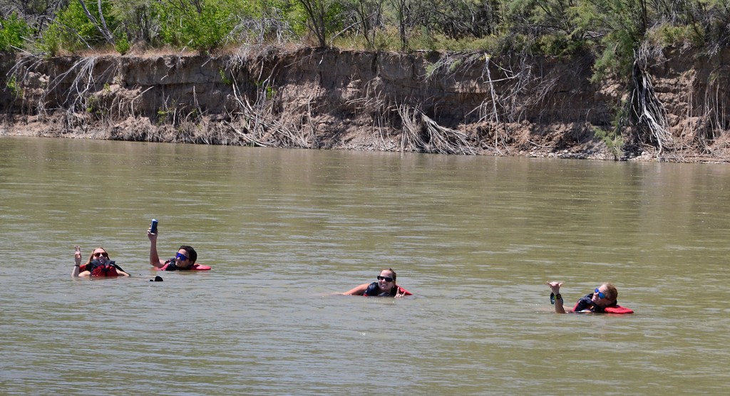
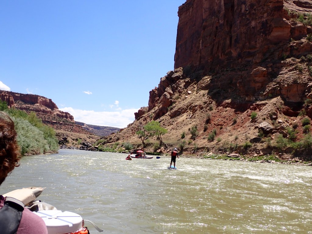
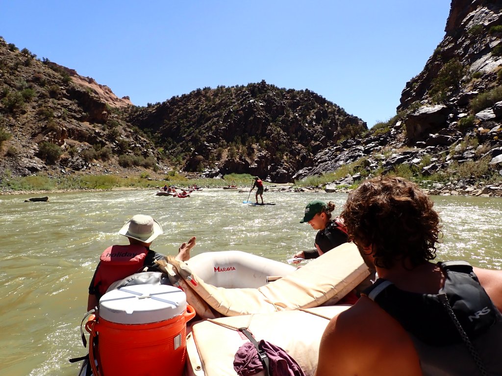
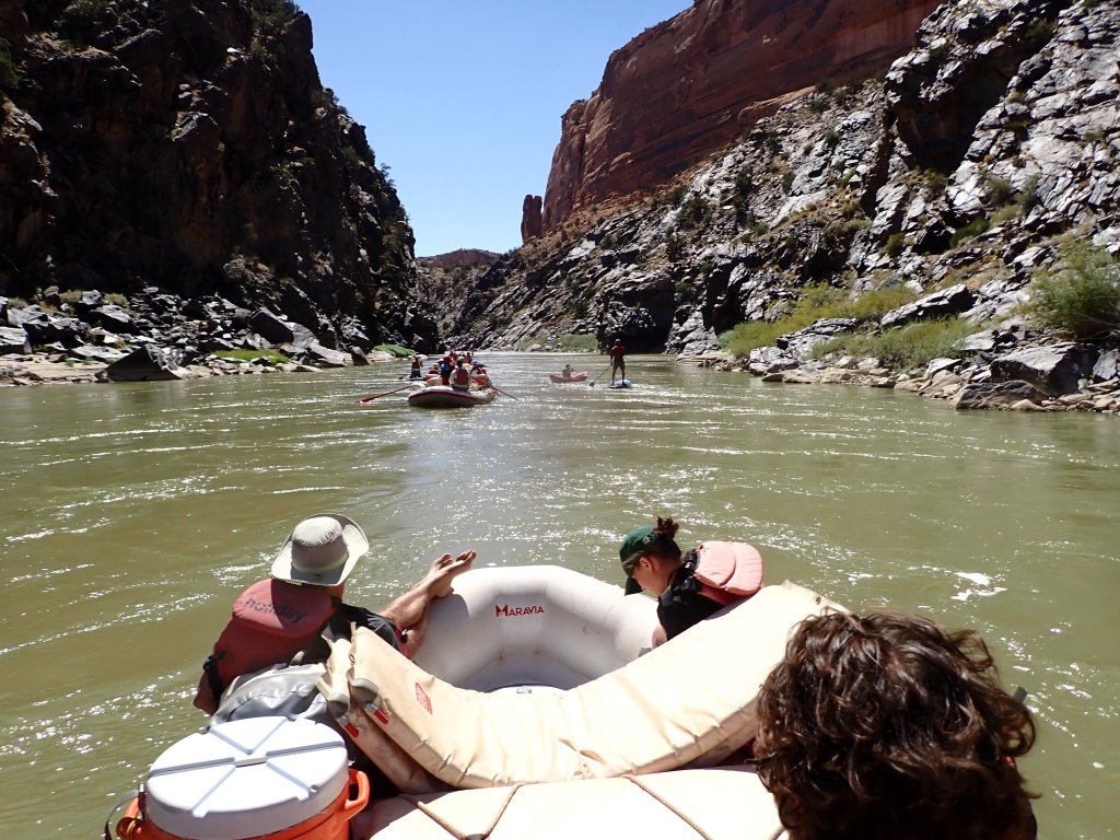
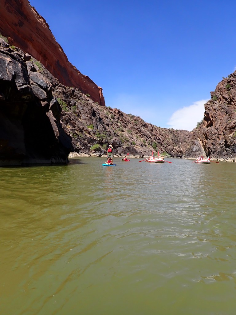
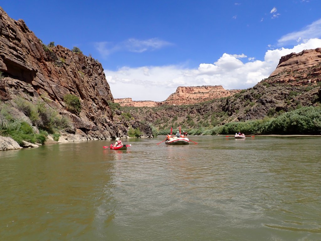
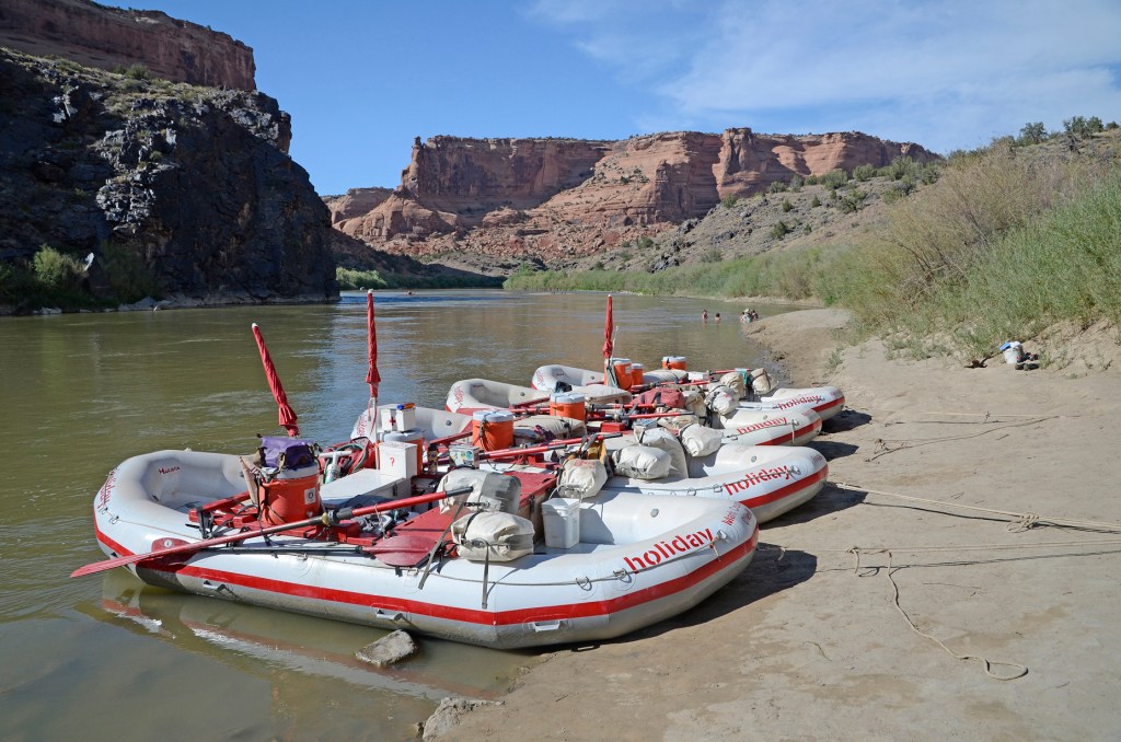
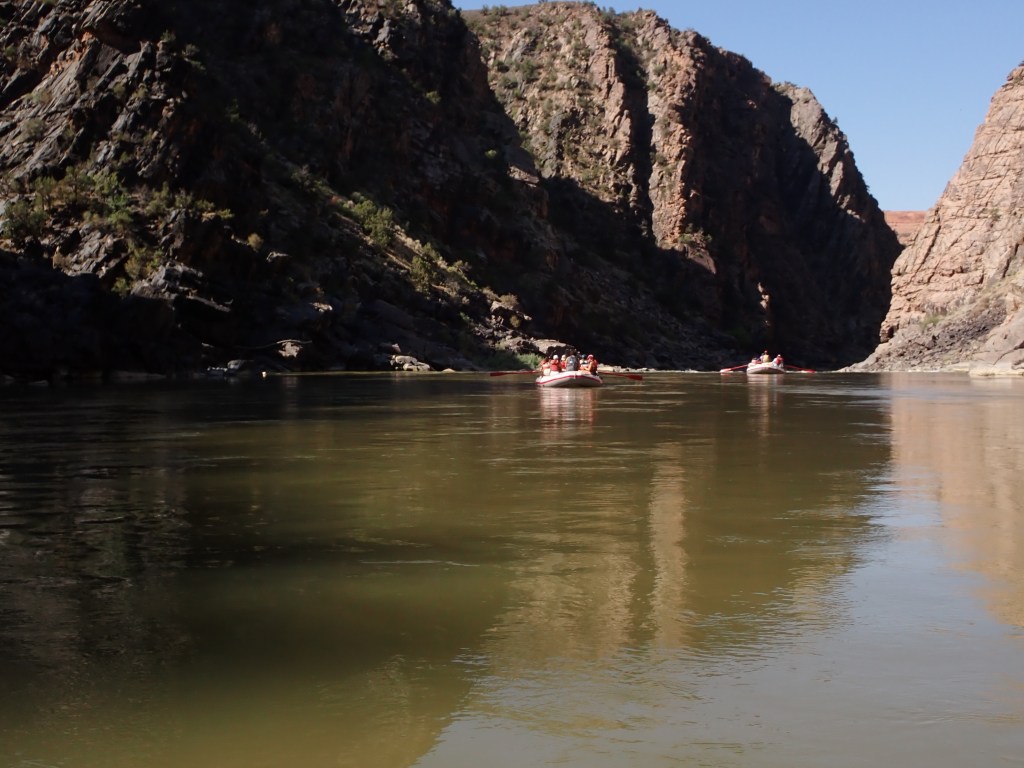
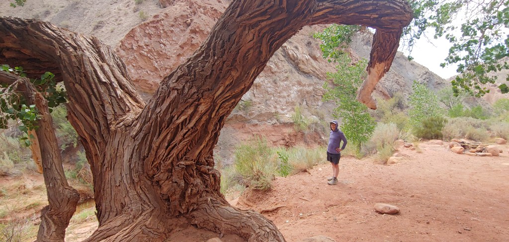
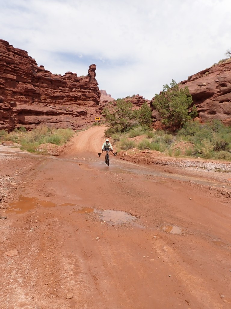
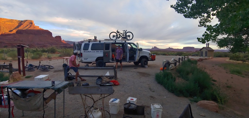
After the miles we racked up on the mountain bikes, we looked forward to the next two days of relaxing along the river. We joined our rafts at the Westwater Canyon Ranger Station and floated a few miles to a great lunch spot.
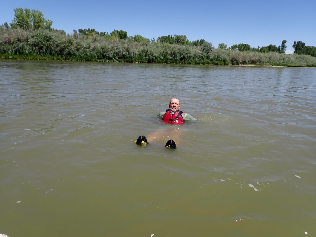
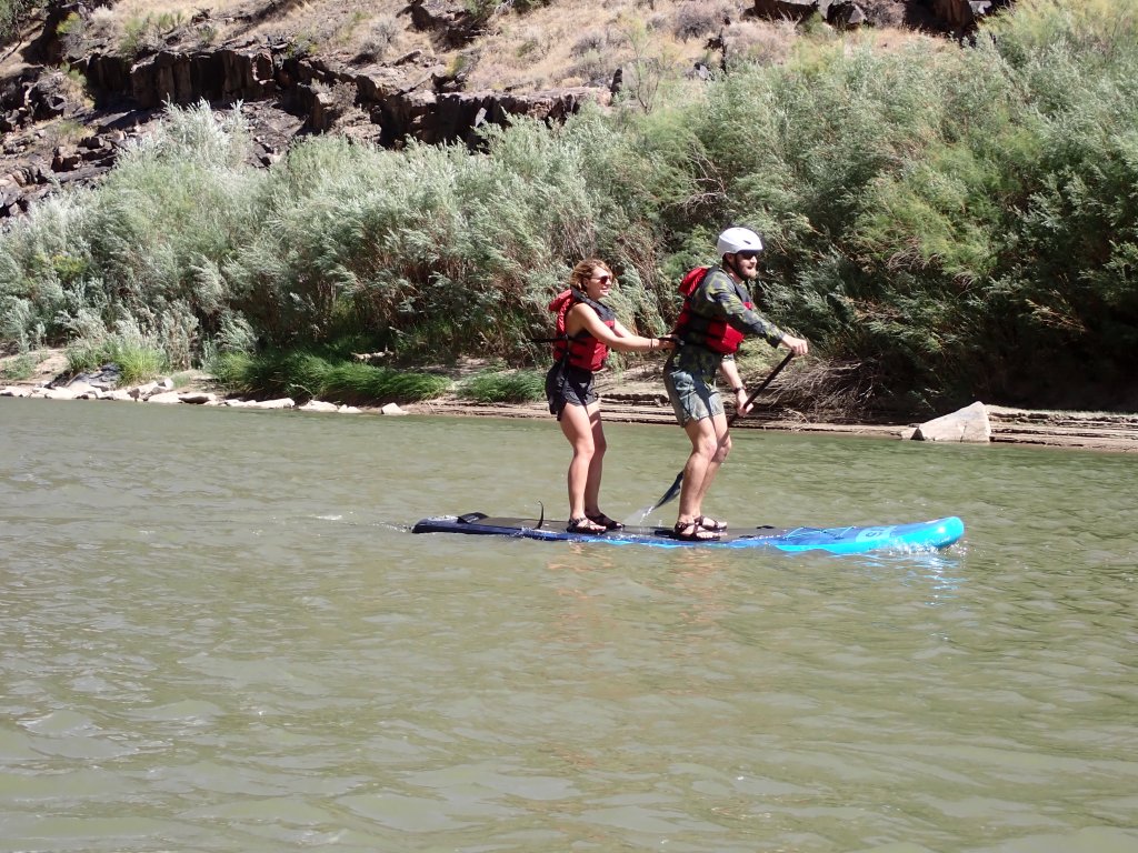
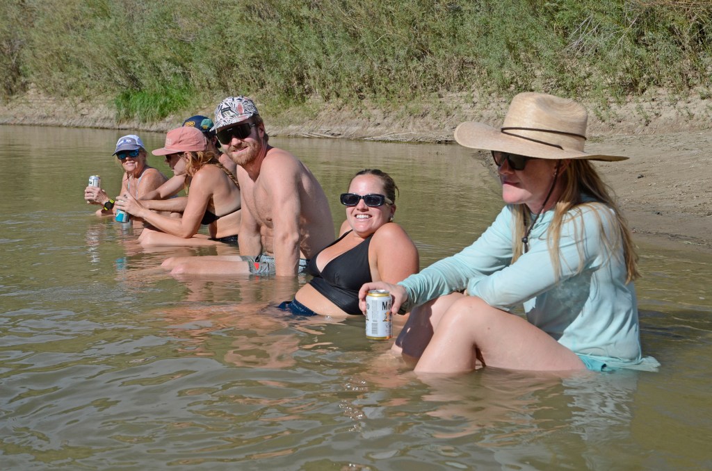
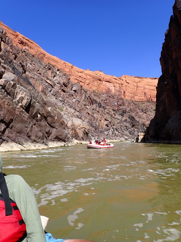
The river was calm, but fast which allowed one to float next to the boats.Waiting for lunch was a good time for a dip and a cool beverage!Once we rounded the corner from the lunch spot, we began to hit the Westwater Canyon and ensuing rapids. Kudos to the brave souls that managed to stay upright on the paddleboards!
We continued on to our camp for the evening.
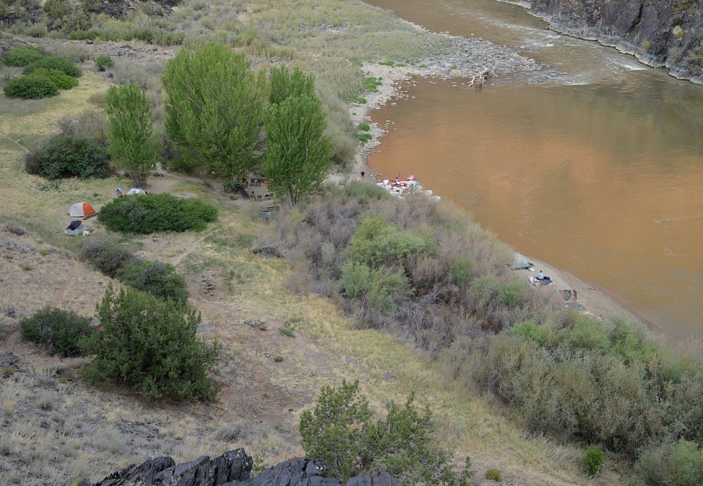
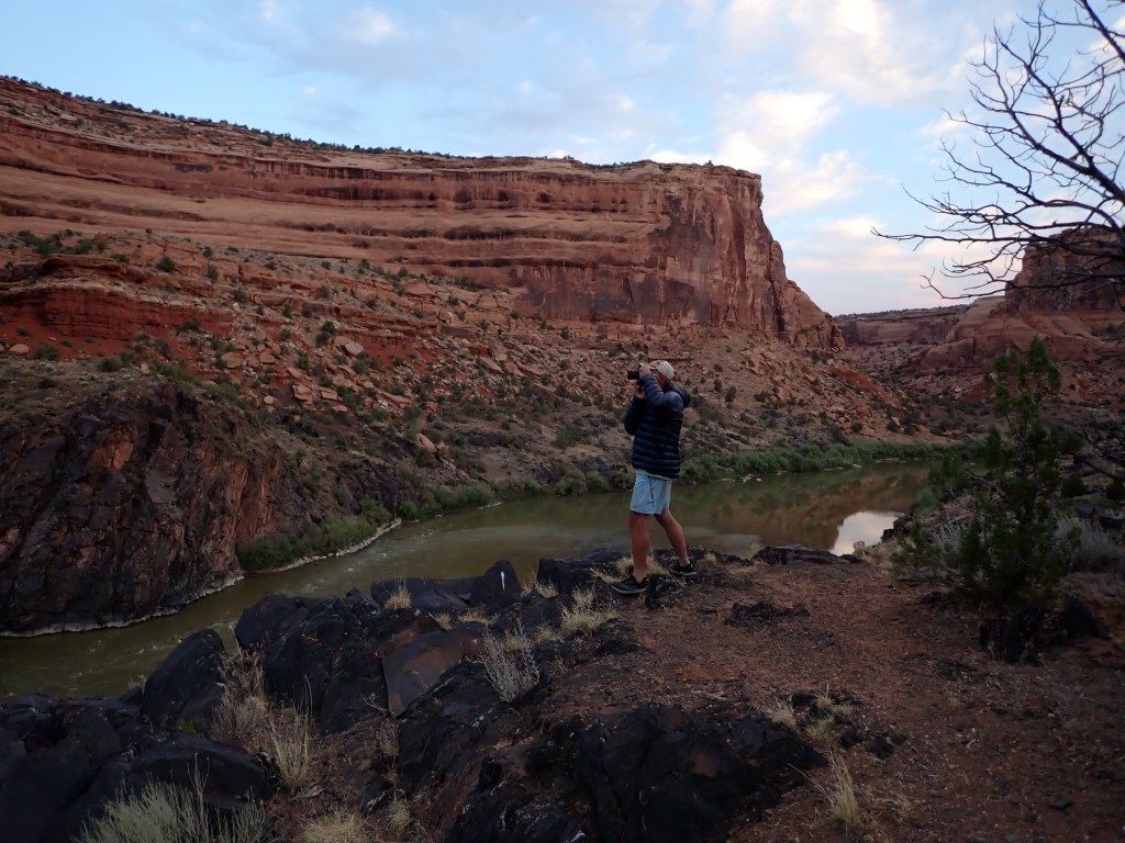
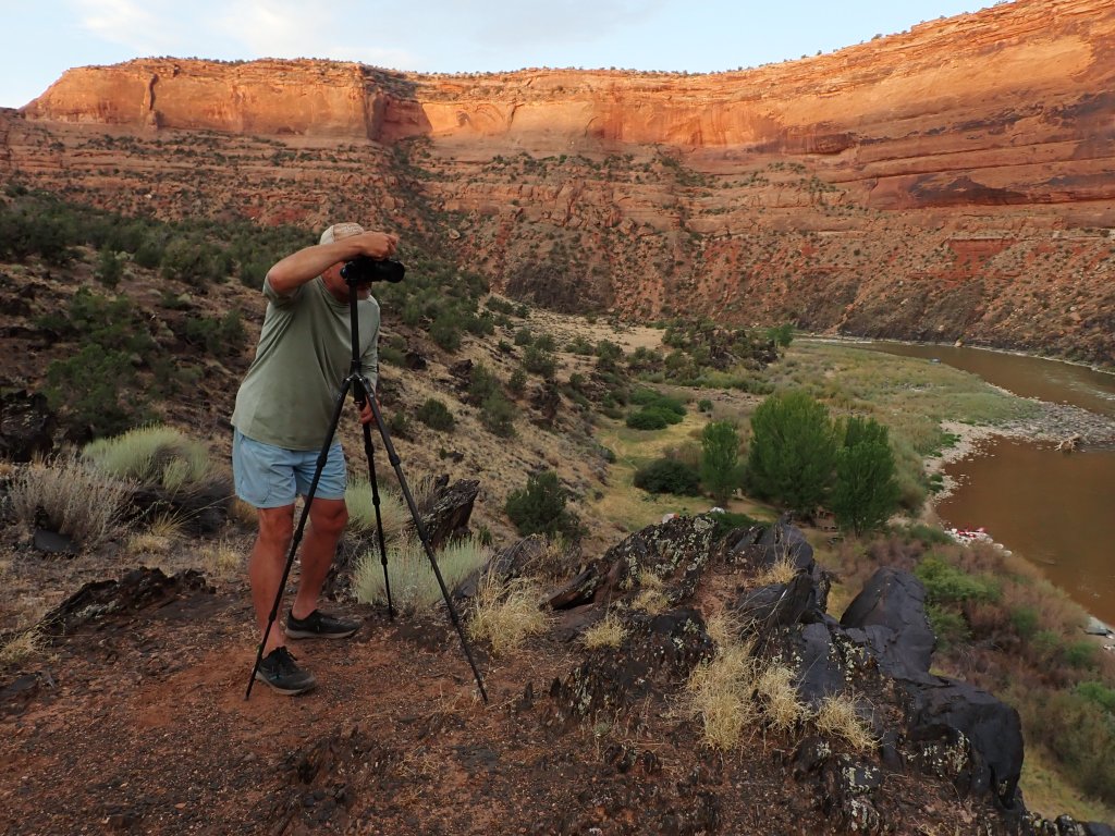
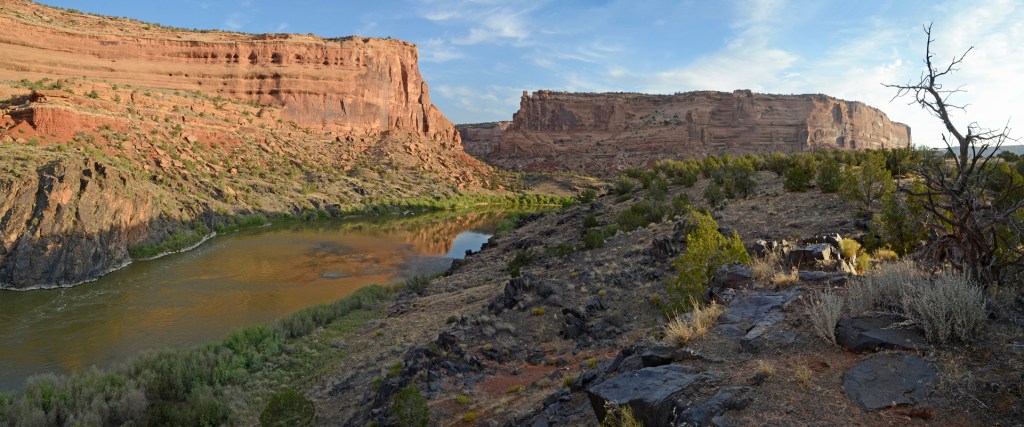
Once at camp, another opportunity for cooling off!Looking down on our campsite – our tent is the one on the left with the black sleeping bag on top, airing out. You can see the dining “circle” in the middle of the photo.As everyone was packing up camp the next morning I hiked up the hill to the ridge above our campsite. Joel soon followed!
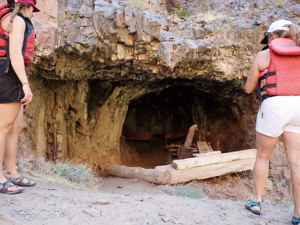
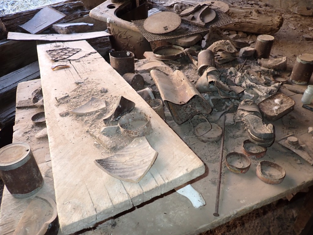
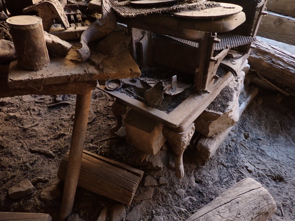
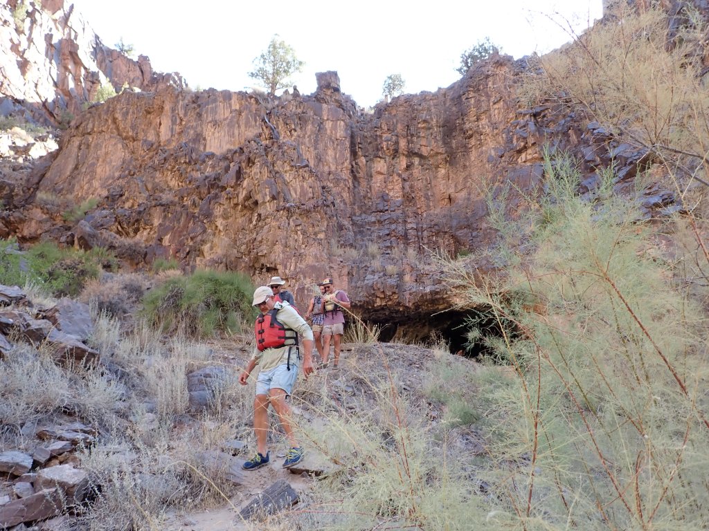
Soon after we left camp, we took a short hike to a “hideout” that was relatively well preserved, complete with artifacts. Some people say this outlaw hideout was refuge for counterfeiting brothers escaping the authorities in Grand Junction. Others claim this cave to be where Butch Cassidy laid low for the law to lose their trail. Interesting, whatever the real story is!
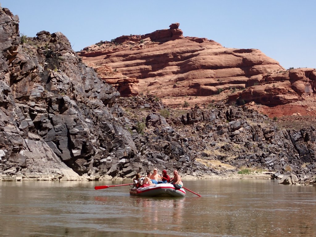
The second day of rafting included many “named” rapids, which I have totally forgotten but they came in very fast succession in about a 4 mile stretch.
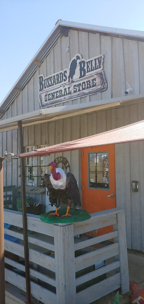
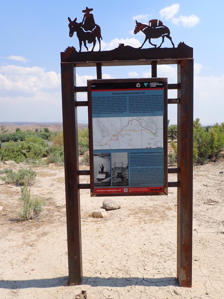
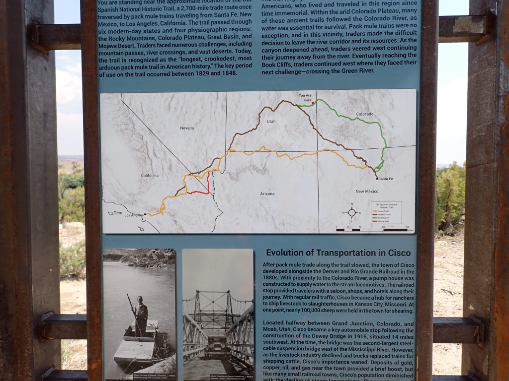
We made it down to the boat ramp and “take out point” in Cisco, which is a truly odd place! Reminded me of the Cadillac Ranch that we saw with Mom and Dad on their Route 66 journey.
One store that had just about one of everything. The hours are whenever the lady proprietor wants to open it up!
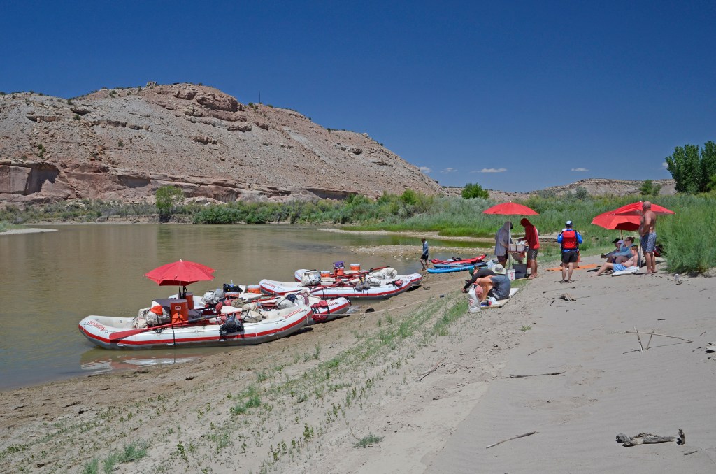
Once the rafts were loaded back up, we took about a 2 hour drive back to Green River, UT for the conclusion of our trip.
Still trying to catch up on the blog posts! I think I am getting close, though. These next couple entries will show some of the great times we had again with Holiday River Expeditions. This trip was from the end of July!
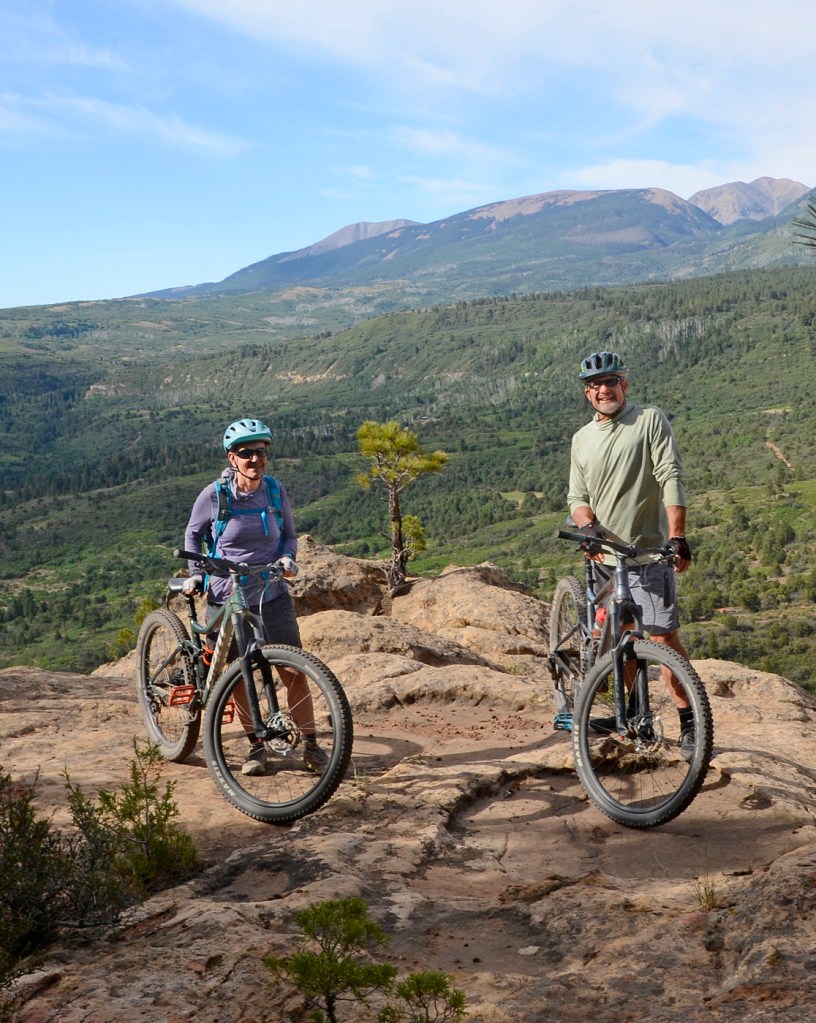
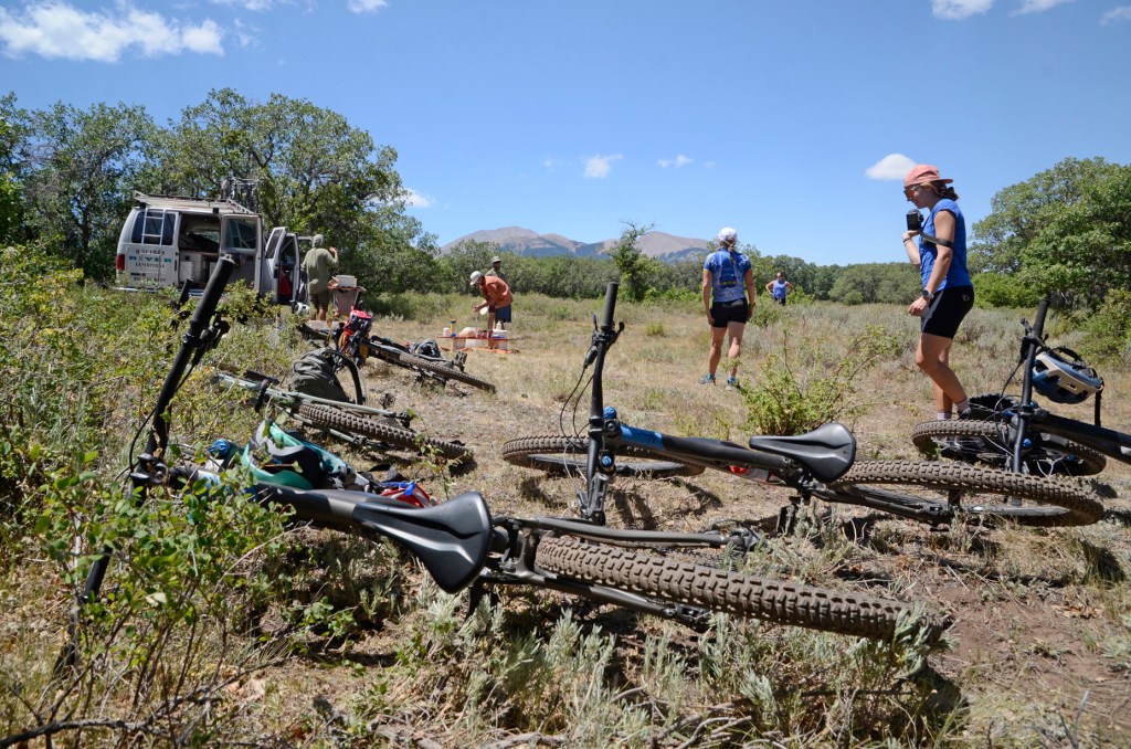
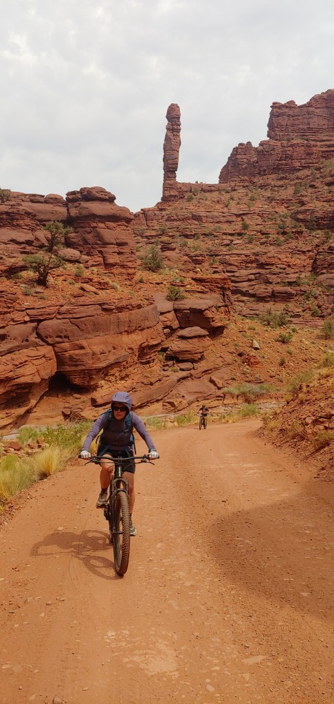
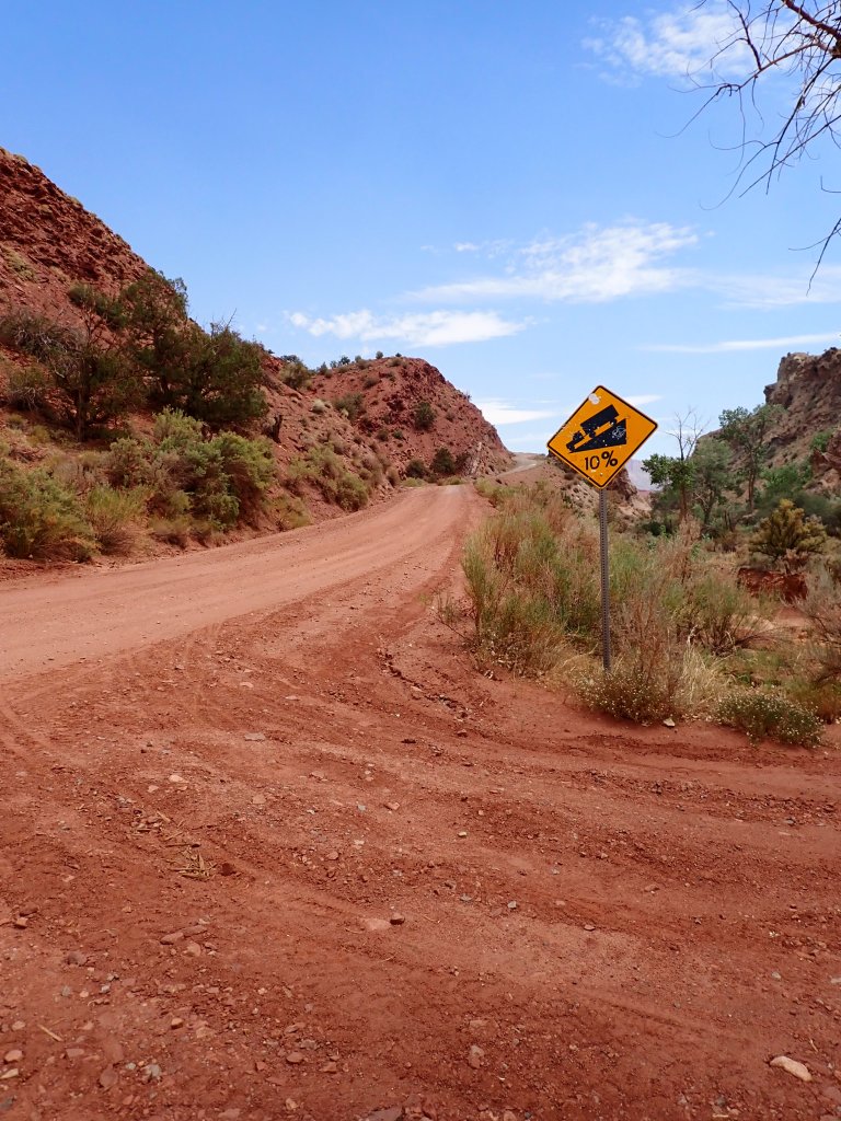
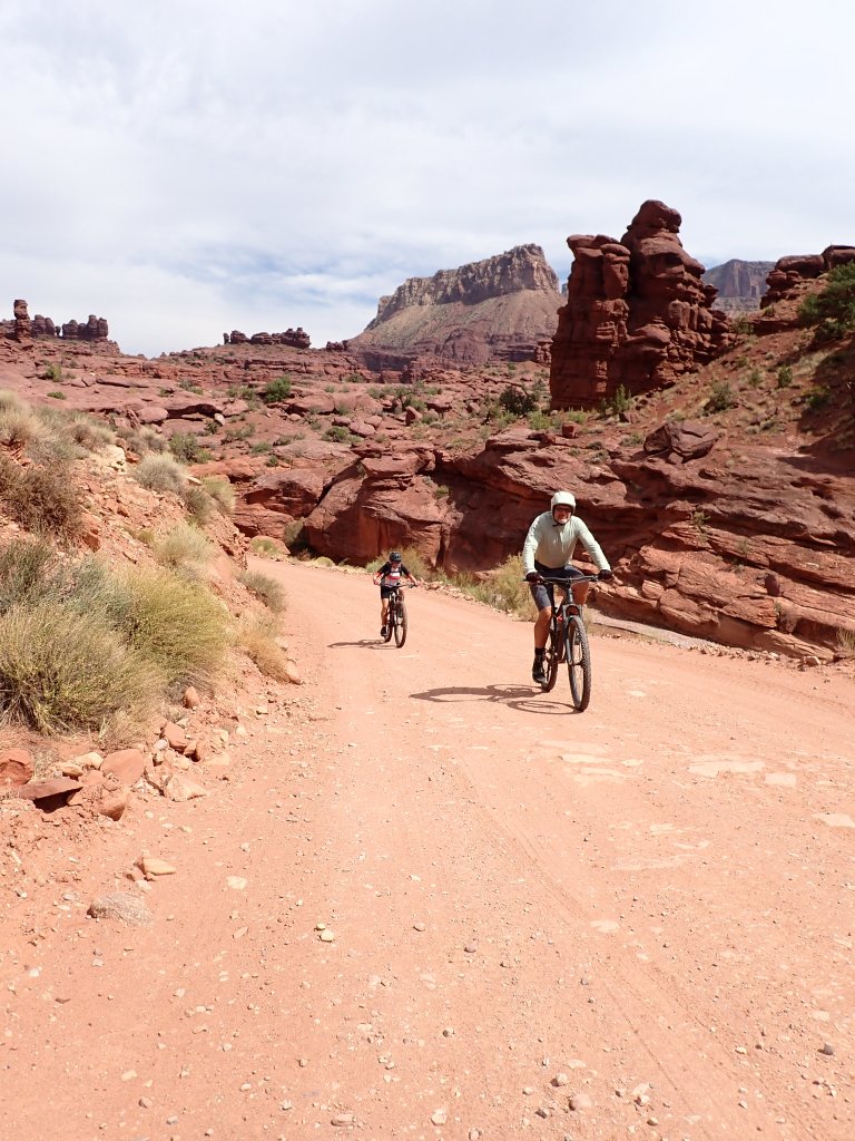
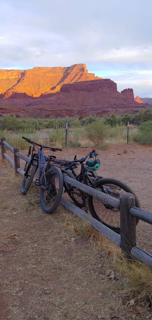
This time we opted to do a split trip which included 2 days of biking outside of Moab in the La Sal Mountains and then looping back through Westwater Canyon and rafting on the Colorado River. We are sort of getting close to the end of the itineraries that look interesting to us, and this is the last of the bike trips that Holiday offers so we decided we better give this a go!
At North Beaver Mesa where our first camp was.
Following the theme what seems to be a horrible fire season in our area, we received correspondence from the main office prior to the trip that a new fire(!?) had started in the southern part of the La Sal Mountains. More than likely it was far enough away from us but they were to send the guides and the main Operations Manager out the day before our trip to look at the route. After their assessment, we did end up having to ride a different route on the first day as the normal road was indeed closed for firefighting access. In the end we lost about 7 miles of the normal 52 mile 2-day total, but since those 7 miles were basically up 3,000′ I was secretly VERY happy!
We rode about 17 miles today and after being in the van for about 2 hours, we were all happy to be on our bikes. Joel and I were sort of outliers as the rest of the group was all related. But it was a fun, cordial group and we all got along well. Another bonus was that the lead guide, Jack, was a guide that we had had a couple years prior so it was fun to see him again.
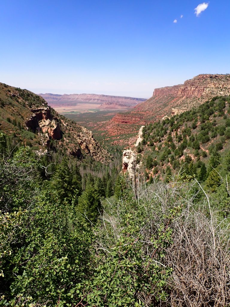
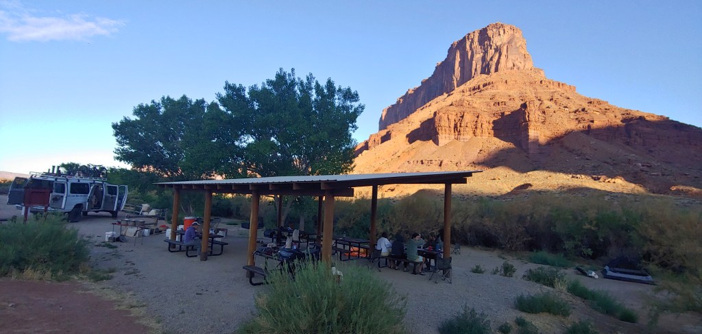
Lots of photo opportunities on this trip – in the background you can see a different forest fire that is actually across the border in Colorado.Lunch Break and a quick Frisbee game.Our camp for the evening was at North Beaver Mesa which was up the ridge and to the right.We had one of the “official” photographers for Holiday River Expeditions with us on this trip, along with her sister, fiancée and her mom.The weather was beautiful and since we were up close to 8,000′ in elevation, it was pleasantly cool for most of the riding.Interesting rock formations at camp.Sunset at North Beaver Mesa Camp.A little Juniper fighting for space with a Pine Tree made for a great photograph!
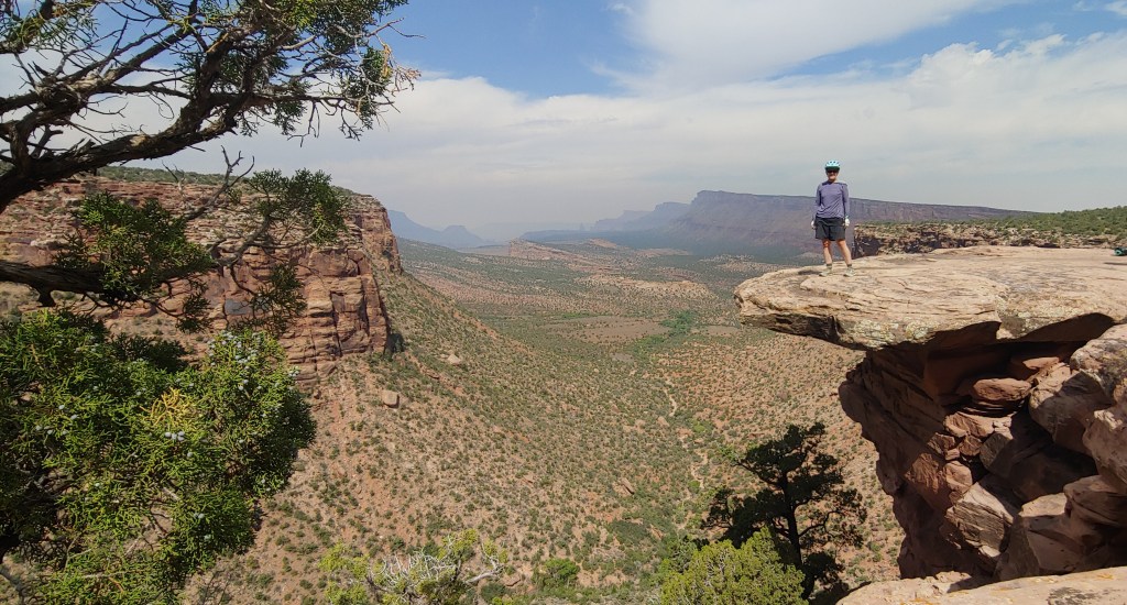
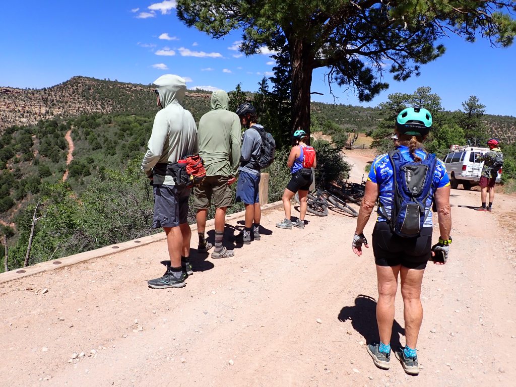
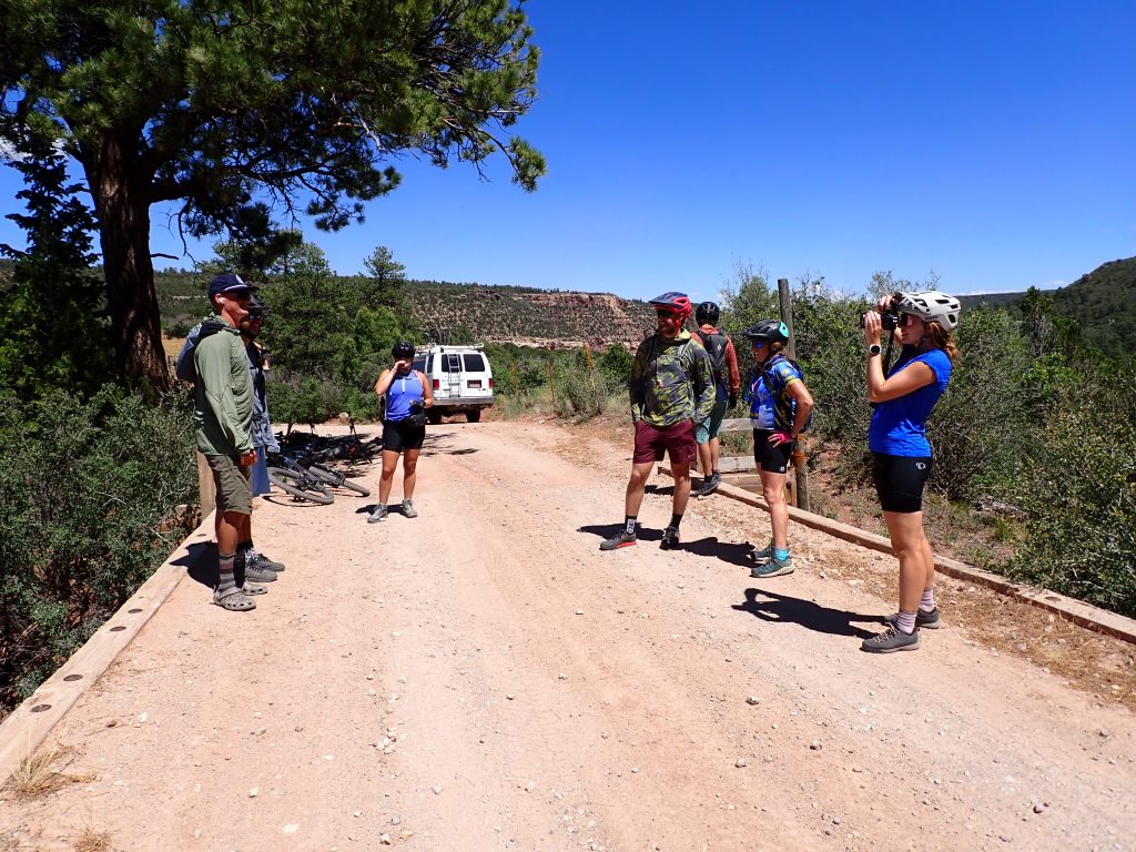
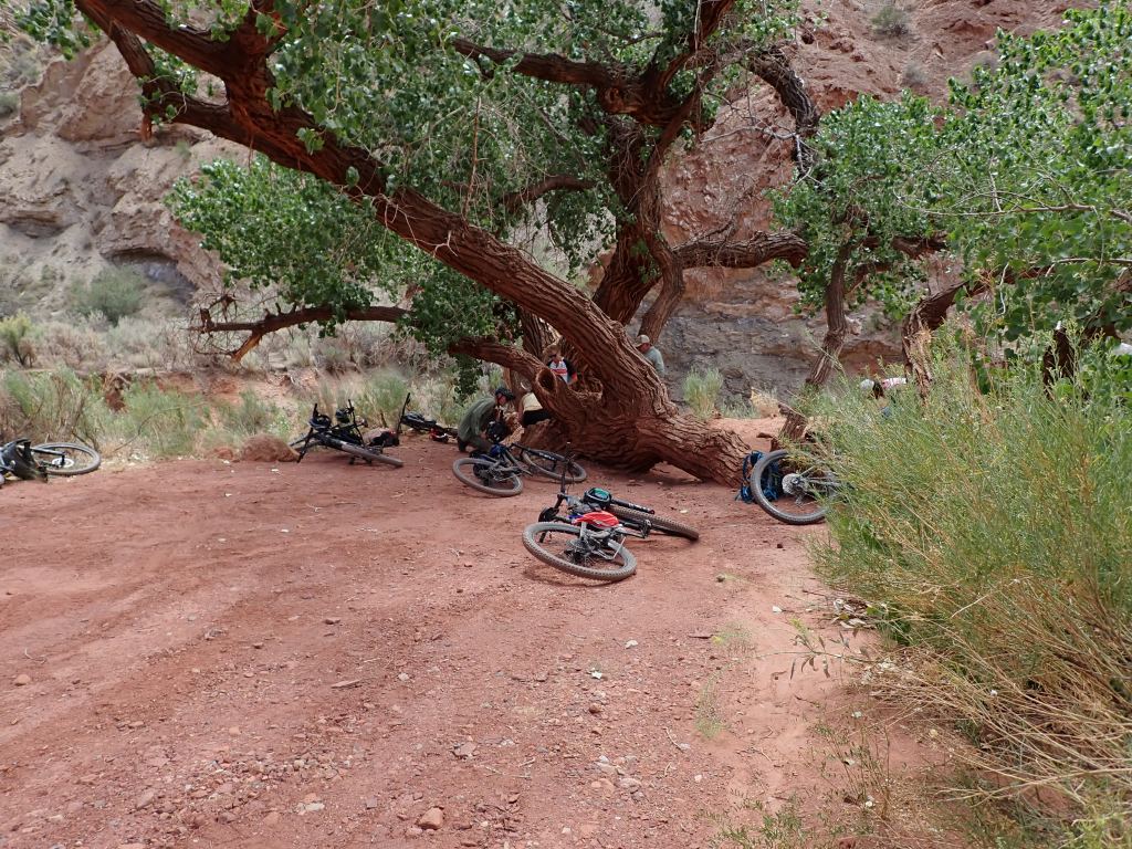
The second day we pedaled out to the edge of the mesa and then started the near 4,000′ foot descent down to our camp at the Colorado River. There were ups and downs along the way but it was indeed a 27-mile downhill adventure. (As I am a bit hesitant to go too fast downhill, my hands were a bit tired from grabbing the brakes!)
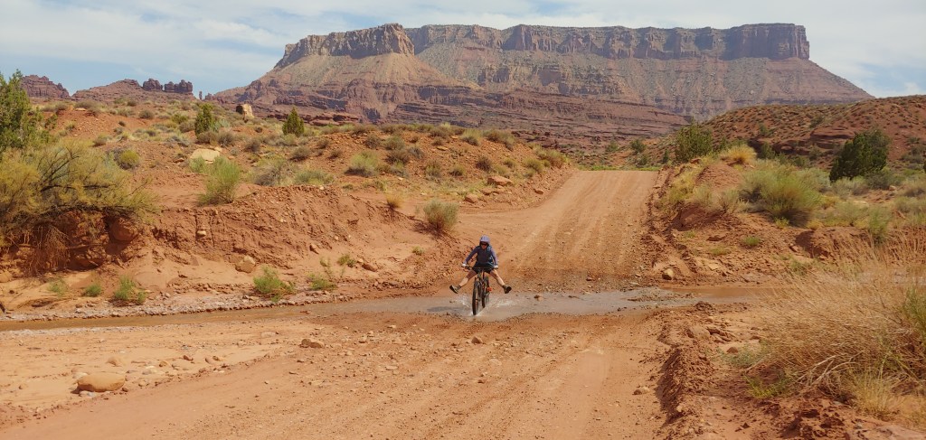
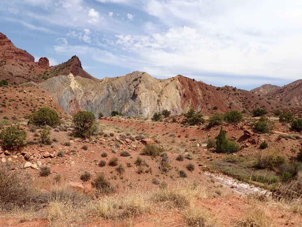
Oblivious to what lurks behind me.We did actually find several water crossings as we headed down the Onion Creek Drainage towards the Fisher Towers.Most of the time we had the roads to ourselves.Fun going down but slow going up!Lunch breakThis photo really doesn’t give justice to the beautiful colors of the rocks – lots of greens in this section – copper?Joel pouring on the coal to get to the top of the hill!Second day’s camp at Hittle Bottom Campground.
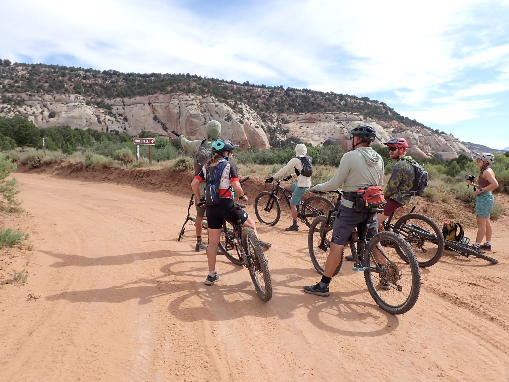
The next morning the vans came and picked us up and we headed to the Westwater Canyon Ranger Station.
Arriving home on Monday evening from the Beartooth’s trip, I had a quick turnaround to get ready for my King’s Peak backpack trip starting on Thursday. Joel and I had climbed Kings Peak in 2015 as part of my highpointing quest and I was excited to have the opportunity to climb it again with the Women’s Wine Hiking group.
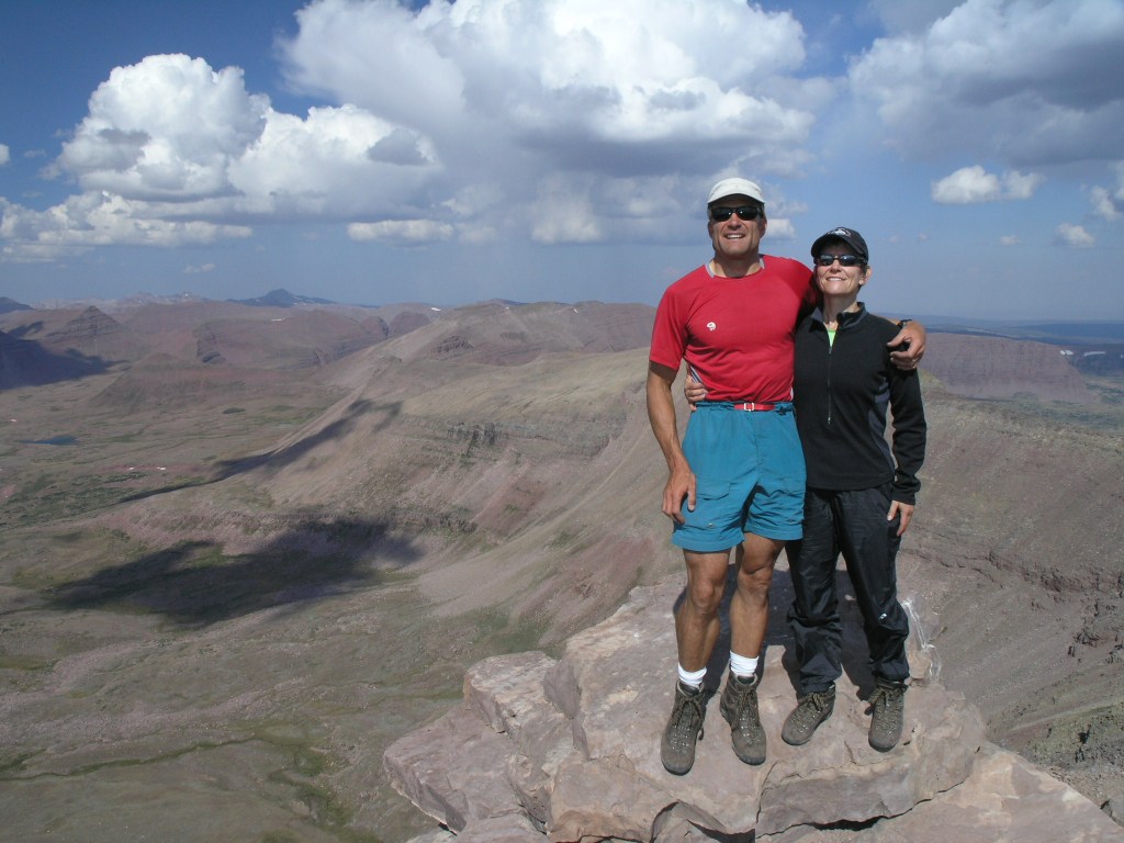
Kings Peak 2015, before Joel’s knees started complaining too much!
Once all the clothes were sorted and washed and pack put back together, I headed up to Lyman, WY for an overnight before we headed to the trailhead. As we got within about 20 miles of Lyman, I glanced up and saw what appeared to be a forest fire on the horizon … WHAT??? Come to find out, the Beulah fire had started in the Uintas and was observed that morning. We rushed to the Forest Service office in Mountainview, getting there about 4 minutes before closing. They said due to the high wind/red flag warning in the area of the fire, they were not sending any crews in to fight it. GREAT!
We waited for the rest of the group to arrive in order to make a decision about proceeding with the plan or moving to a different area. As a crow flies, the fire was about 40 miles from us so most of us weren’t worried about the actual fire. Smoke and the fact that we would be out of cell coverage for 3 days were the main concerns. We had dinner and then decided to gather as much information as we could the next morning before heading to the Henry’s Fork Trailhead.
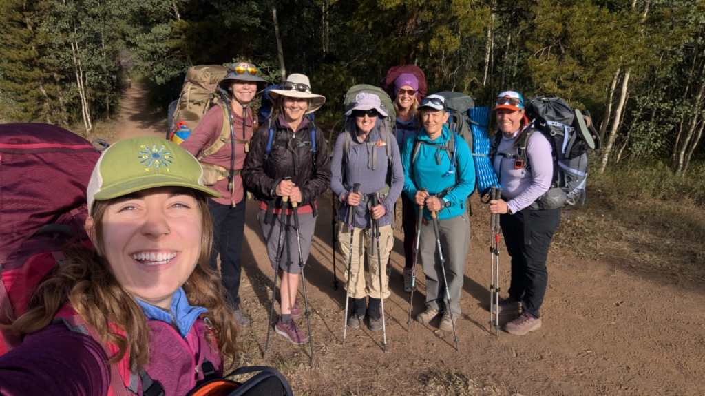
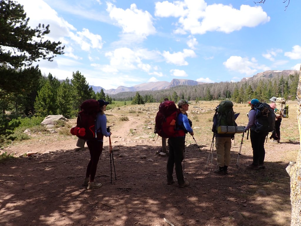
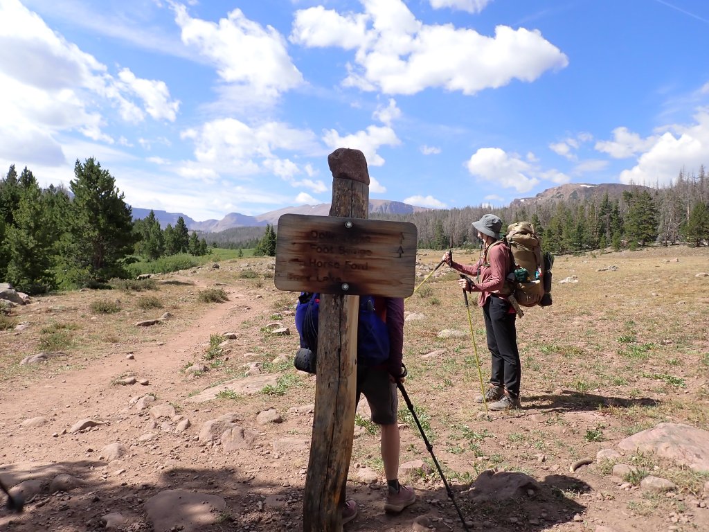
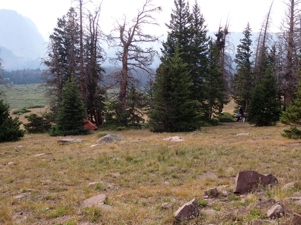
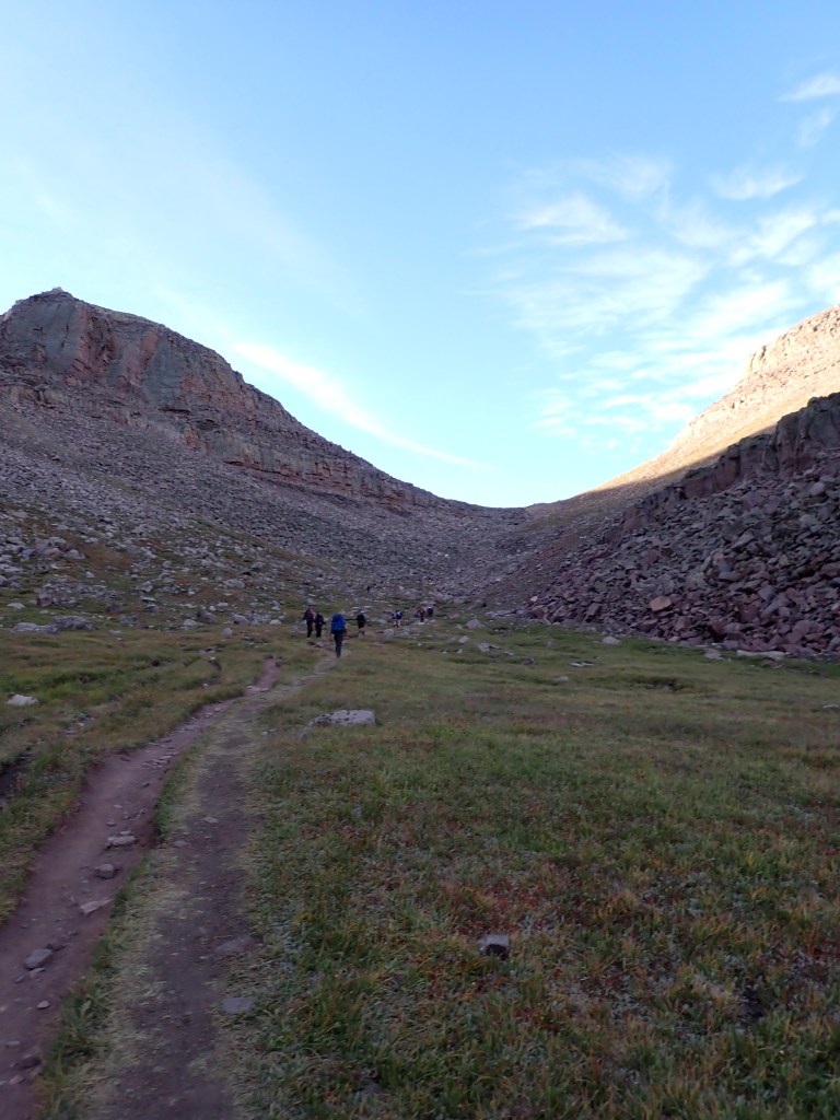
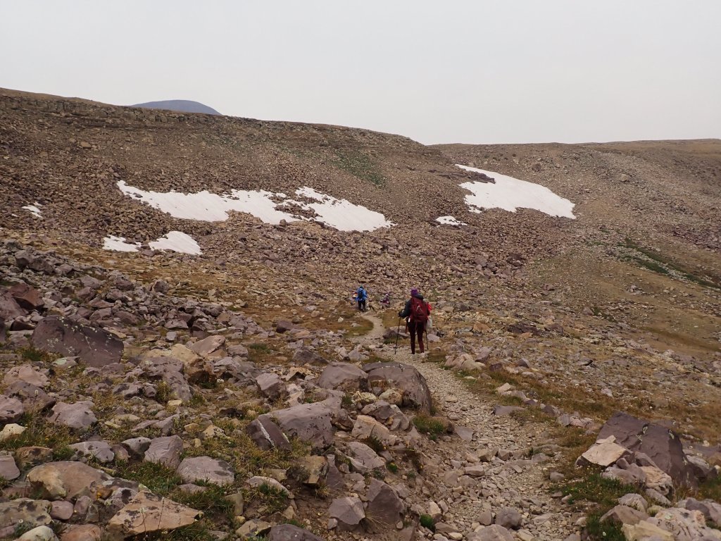
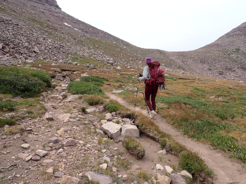
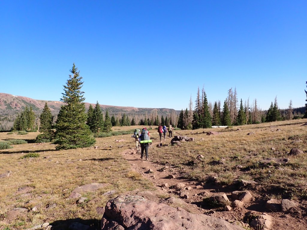
We made the decision to proceed to the “base camp” as planned and see what the smoke situation was. Our camp was to be about a mile past Dollar Lake which is the typical camping area. As this was the weekend, we were expecting a lot of people so we wanted to get as far away from the big campsites as possible. The hike was about 8 miles in. Relatively flat with only a few hills, we made good time.
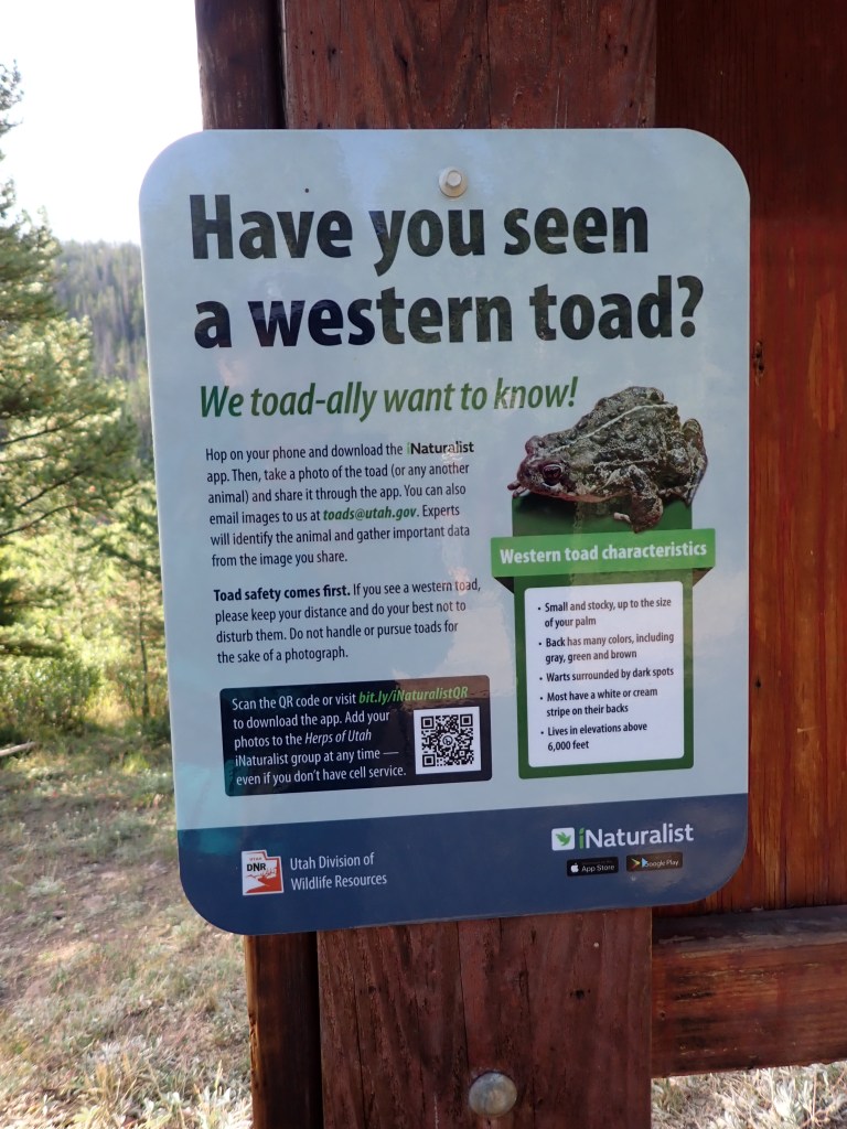
Ready to hit the trail!No, we did not see a toad.Well-defined trail that was pretty easy to follow.
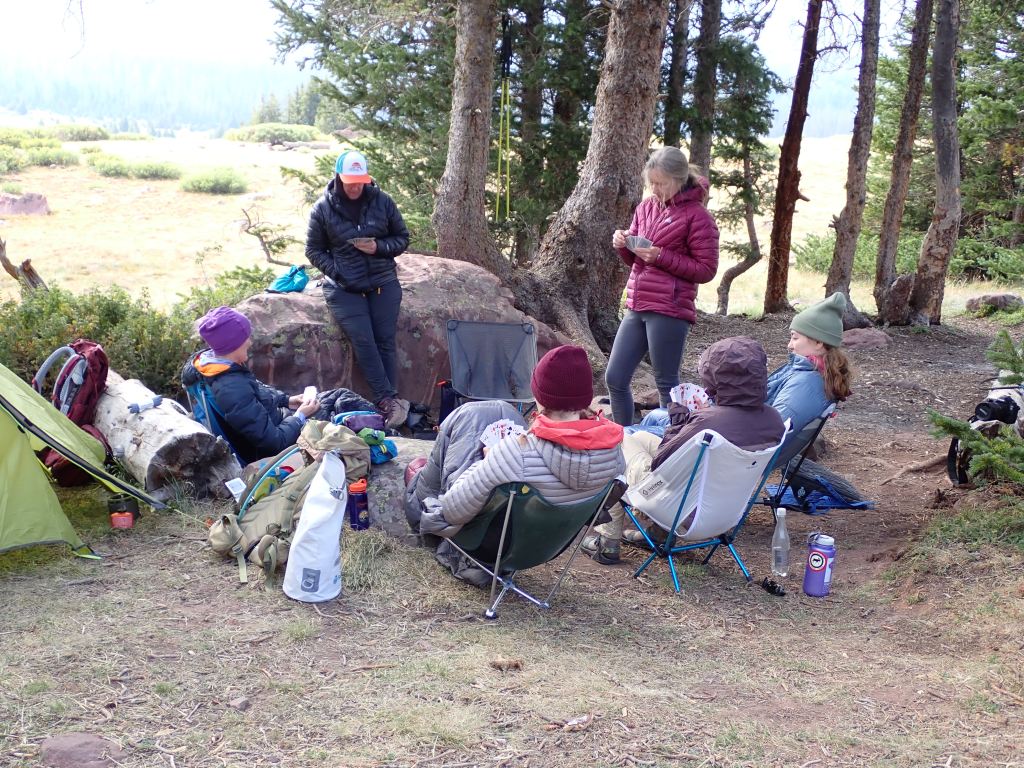
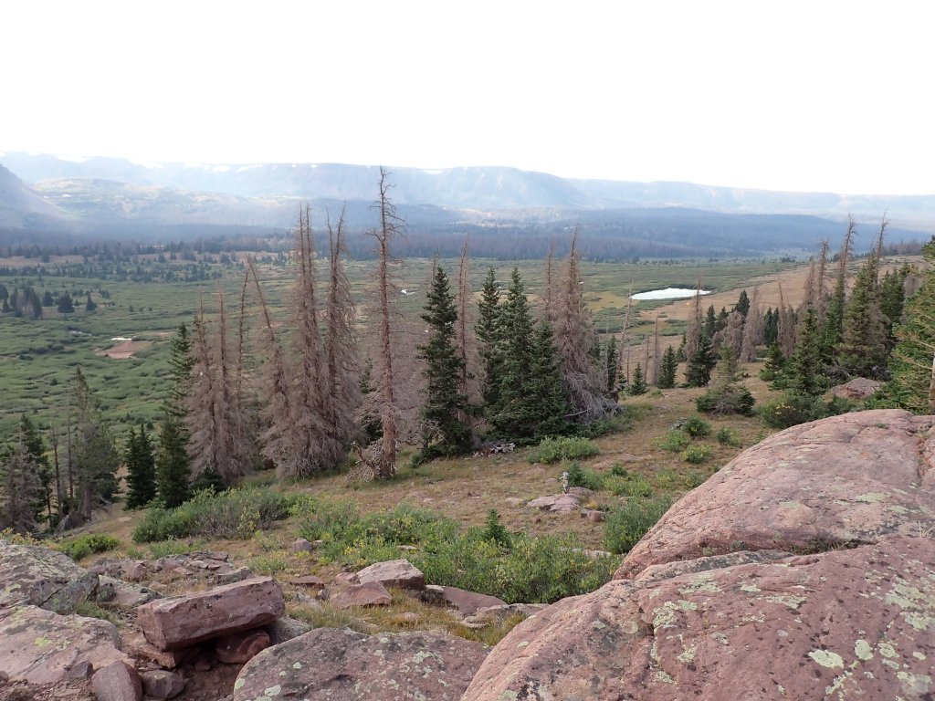
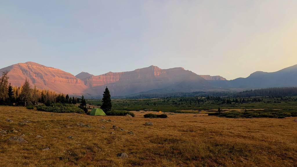
Once we got into camp, some of the group decided to play cards before dinner. I opted to hike up the trail about 1 1/2 miles to scout the next morning’s first objective – Gunsight Pass. As the sun was starting to set, the smoke from the fire became visible and started to settle in the valley.
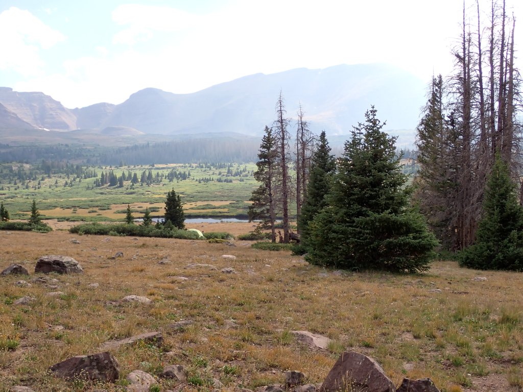
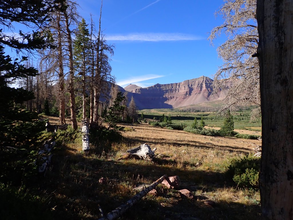
Late afternoon smoke coming into the valley from the Beulah fire.Our camp was at about 10K’, making the next day’s climb 5 miles and 3K’ gain.Our objective, Kings Peak, is the point in the middle of the photo with the “serrated” appearing ridgeline.The trail was a bit rocky in places!Heading back to camp for dinner, the seriousness of the pine bark beetle infestation in the forest was very apparent – about 1/2 of the trees around our camp were dead.
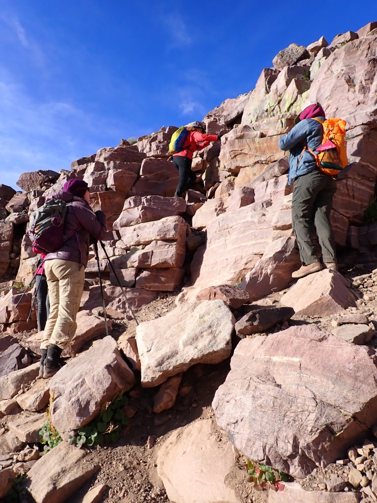
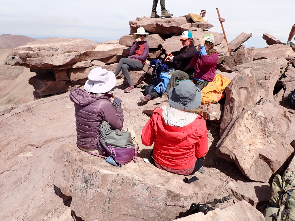
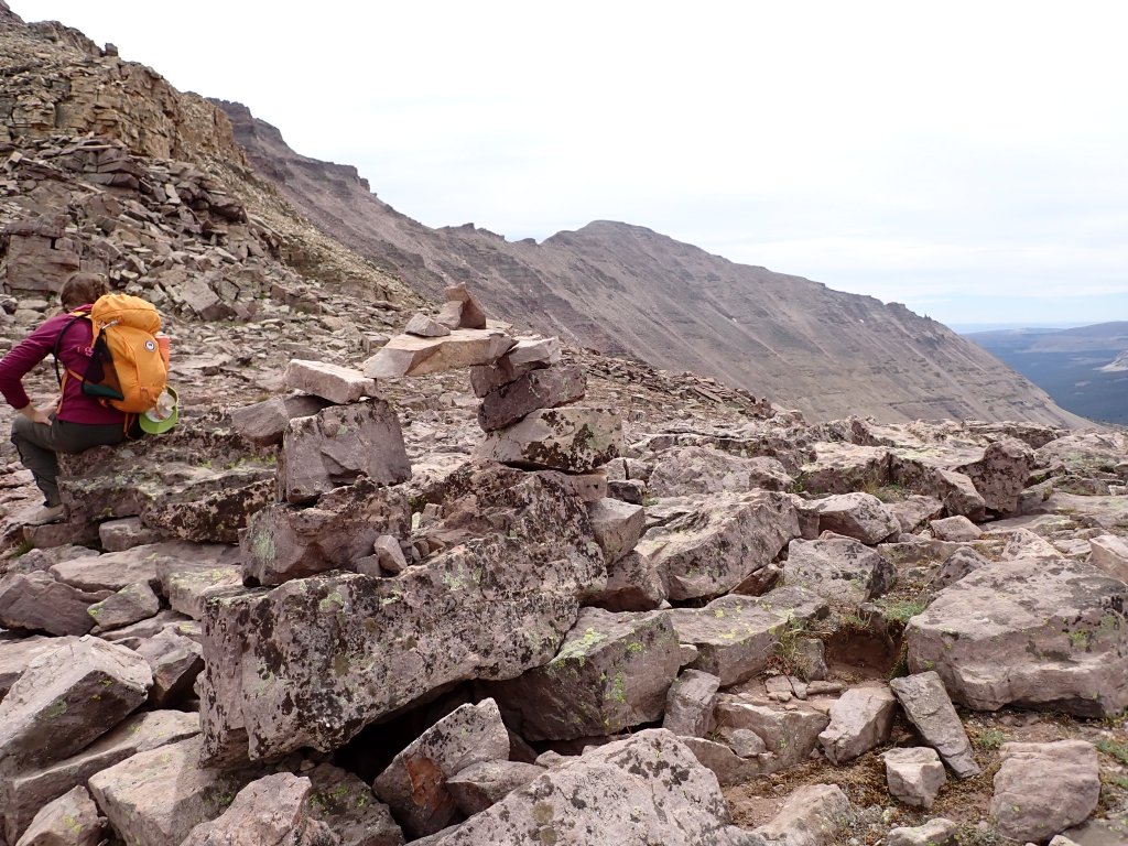
The smoke had cleared in the morning and it looked great for the climb. Our plan was to hit the trail at 6:00am. Of course, with a big group, there were a few stragglers so we ended up heading out about 1/2 hour late. Everyone was in good spirits and excited for the climb. Of the group of 7, me and and one of the trip leaders were the only ones that had climbed it before. Hate to say but I didn’t remember a lot of the climb from 2015 other than the few landmarks (Gunsight Pass, Anderson Pass, the “shortcut,” and the summit boulder field.) We made it to the top of Gunsight Pass in good time and then headed up the shortcut scramble. Unfortunately, it was a little “spicy” and a few of the gals were a bit scared and concerned about this route coming down.
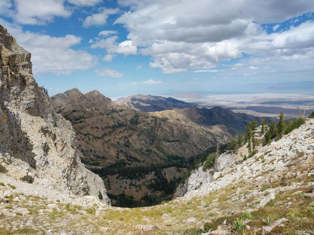
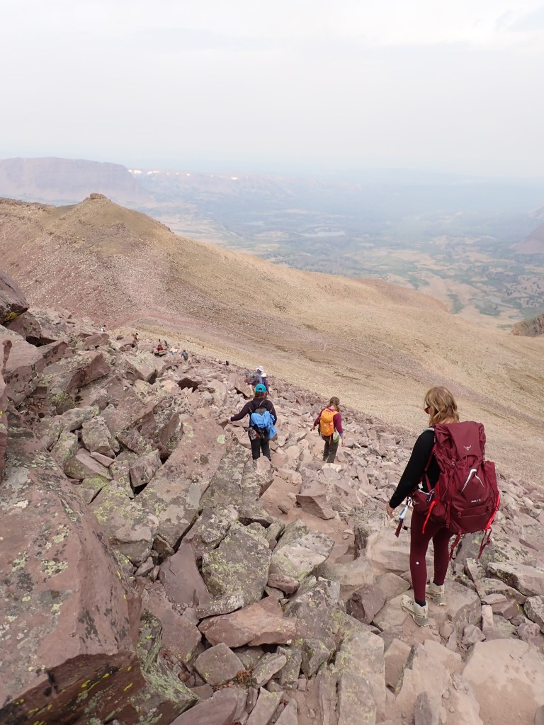
The main route to the top of Gunsight Pass is a series of long switchbacks. I did remember that when Joel and I did it we went straight up the gully – much faster!I would have rated this as an easy “scramble” although a couple of the gals were very uncomfortable going up this.Anderson Pass looking back down the trail – you can barely see a lot of other hikers (black dots).)Looking down into the basin where our campsite was – it was just off the frame on the right.
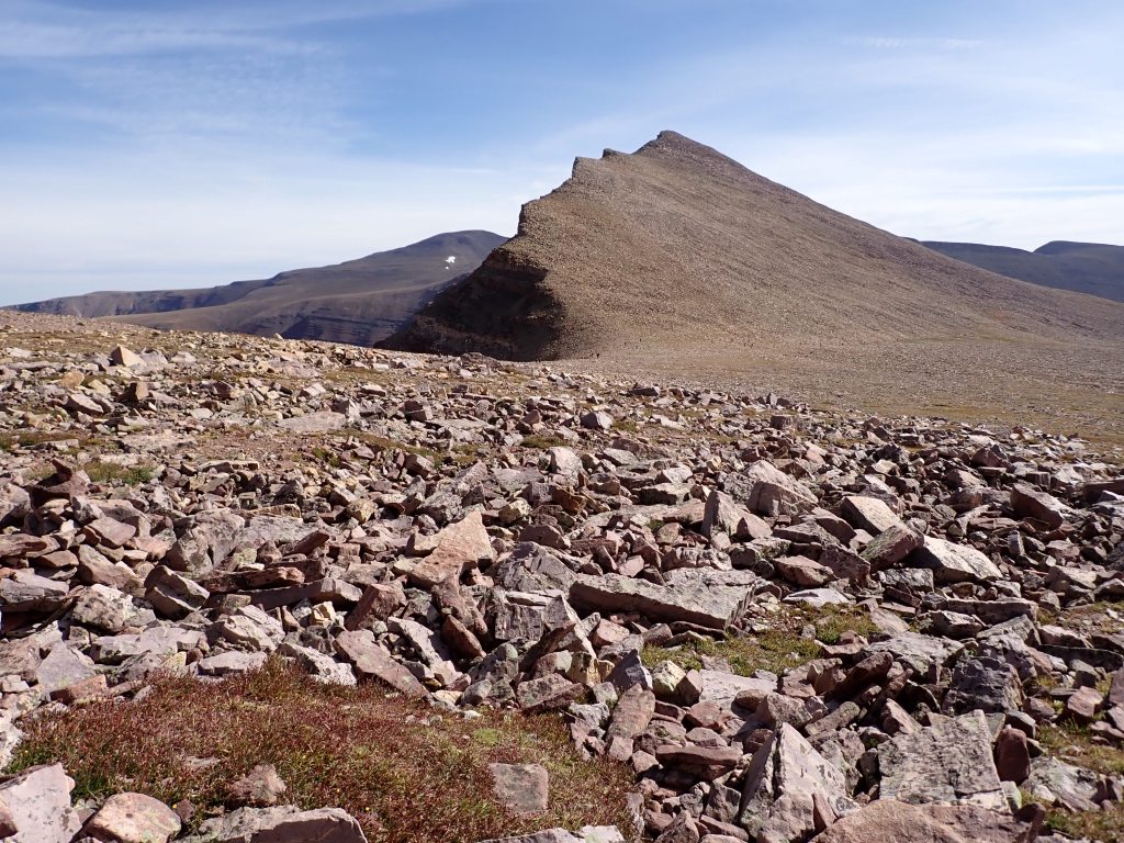
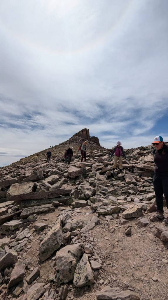
After a series of long switchbacks, we were up on a plateau and then headed to Anderson Pass. From that point, it is a series of about 5 false summits before you make it to the true summit block. I ended up being so far ahead of the group that I sat and waited below the summit for most of the group to join.
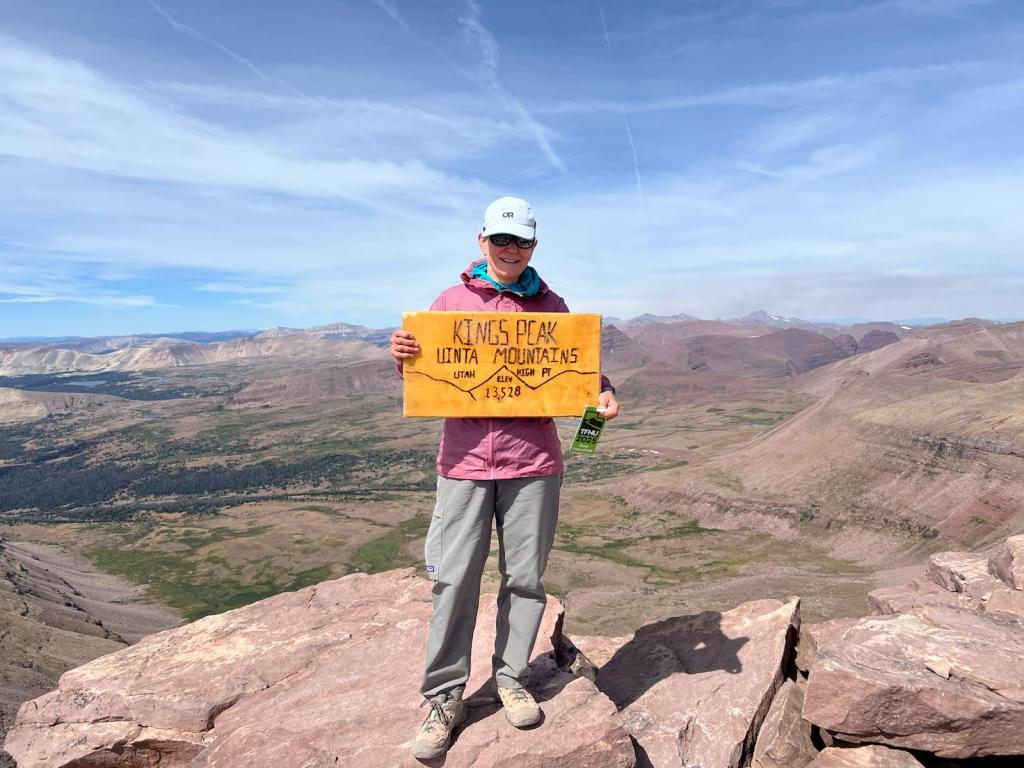
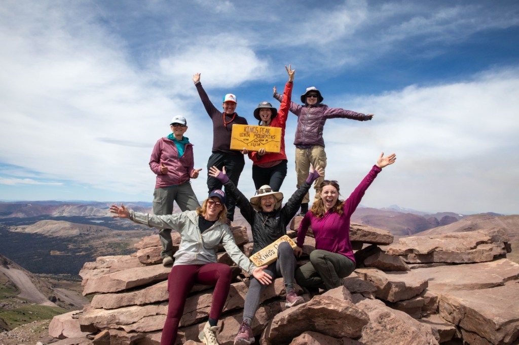
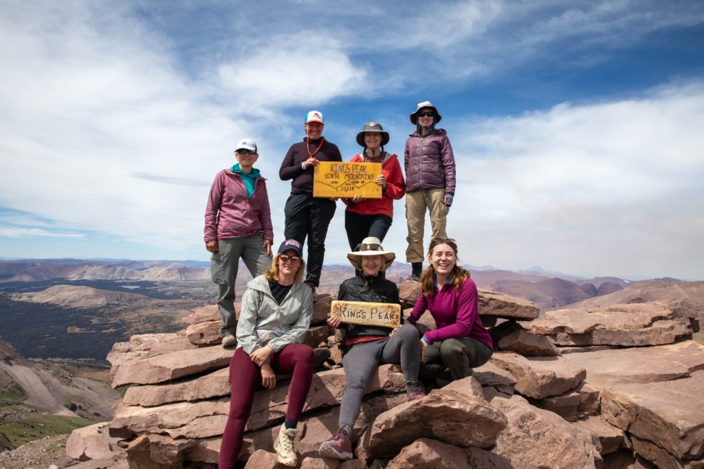
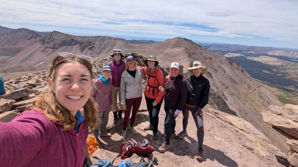
Looking up from Anderson Pass to the boulder field. It took about 1 1/2 hours to get up to the summit from here.Rest of the team approaching the last scramble.Second summit of Kings Peak for me which also closed out my 2025 TFNU Peak Challenge YAY! Off my left shoulder you can barely see the dark brown smoke plume form the Beulah Fire.Summit selfie
We spent about 1/2 hour on the top eating lunch and enjoying the views. Everyone was very excited to make the summit and for most, this is the highest altitude they had ever been at – a great accomplishment!
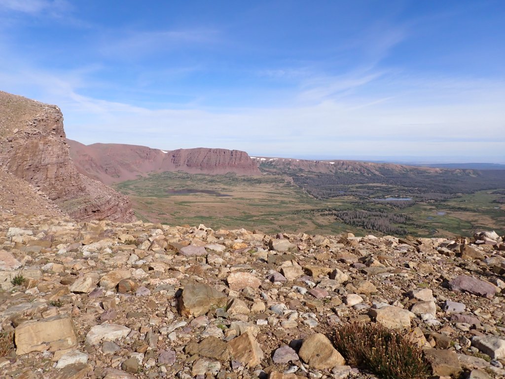
Down climbing the boulder field took a lot of time – many of the large rocks were unstable and shifted if you were not careful.By the time we started to head down, the smoke and overcast skies really blotted out the sun.Our alternate route took us into Painter’s Basin. This photo does not do it justice – the rocks in the foreground were a brilliant purple!From Painter’s Basin we headed up the diagonal (faint) trail back up to Gunsight Pass.Back in camp we were all ready for dinner! Our summit day was 11 hours and 12 miles …The next morning we looked back at our accomplishment before heading down the trail.
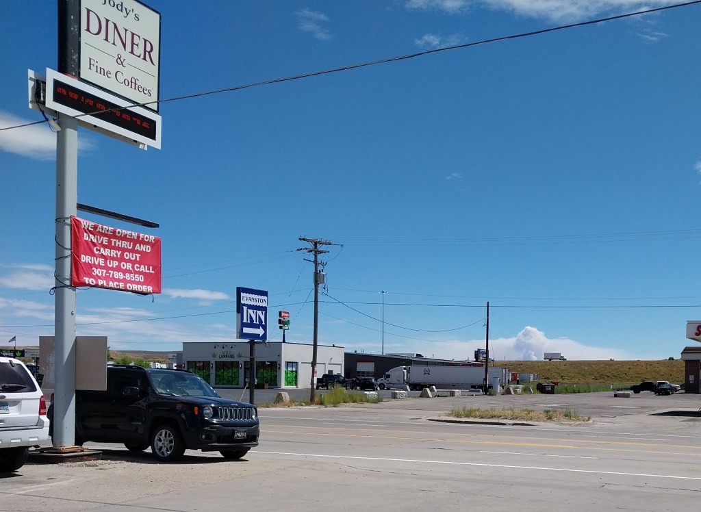
Once we got back to the trailhead, we shed our packs and headed to Evanston and Jody’s Diner for lunch. On the skyline you can see the Beulah Fire raging.
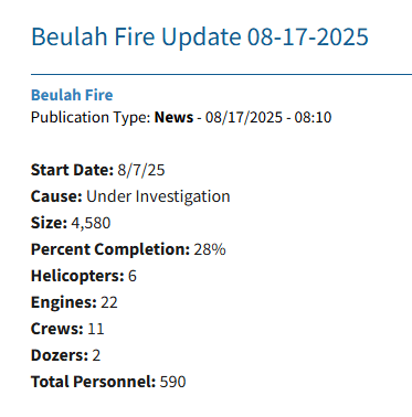
As of today the fire statistics are pretty grim…
Once again, there was neither lightning nor weather activity when the fire started so the suspicion is that it is human caused …