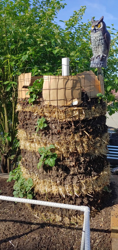
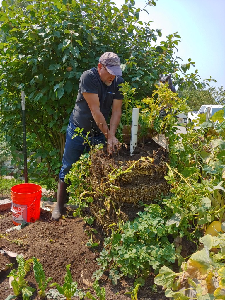
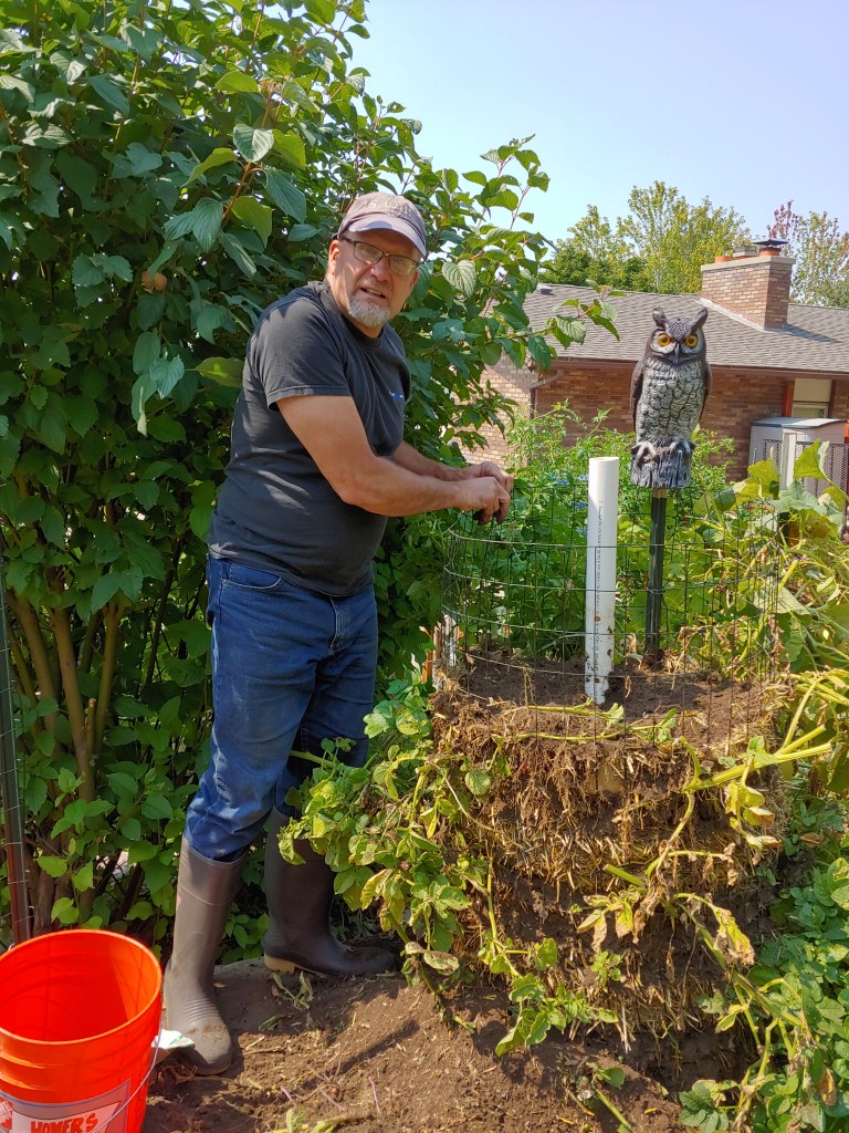
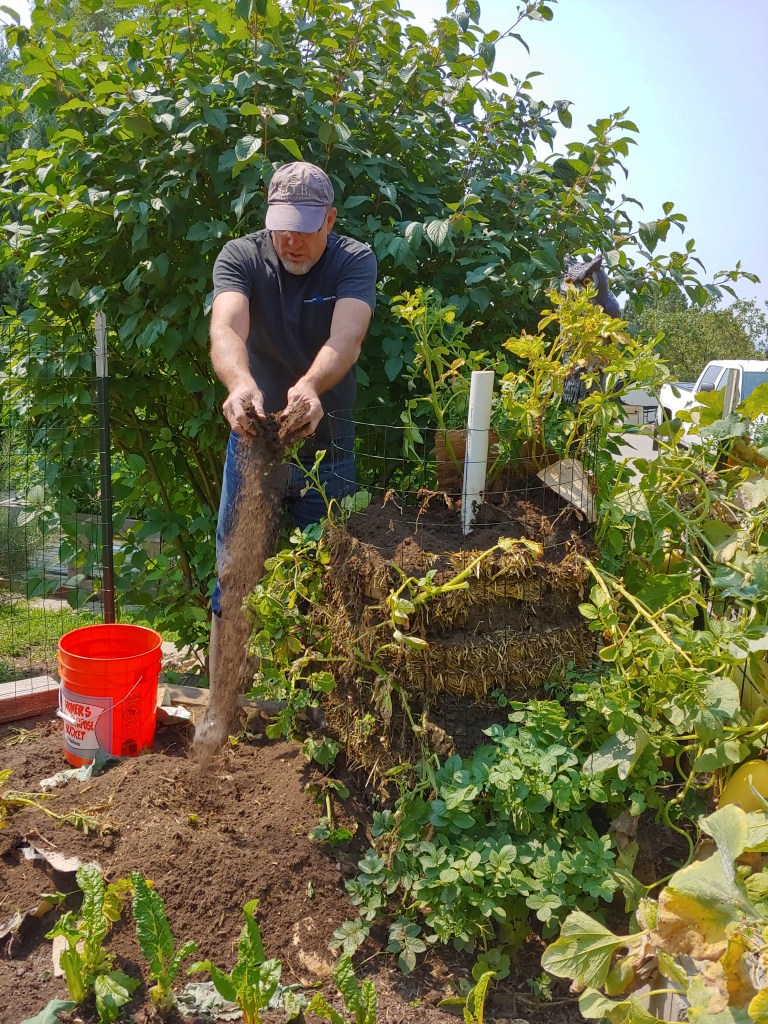
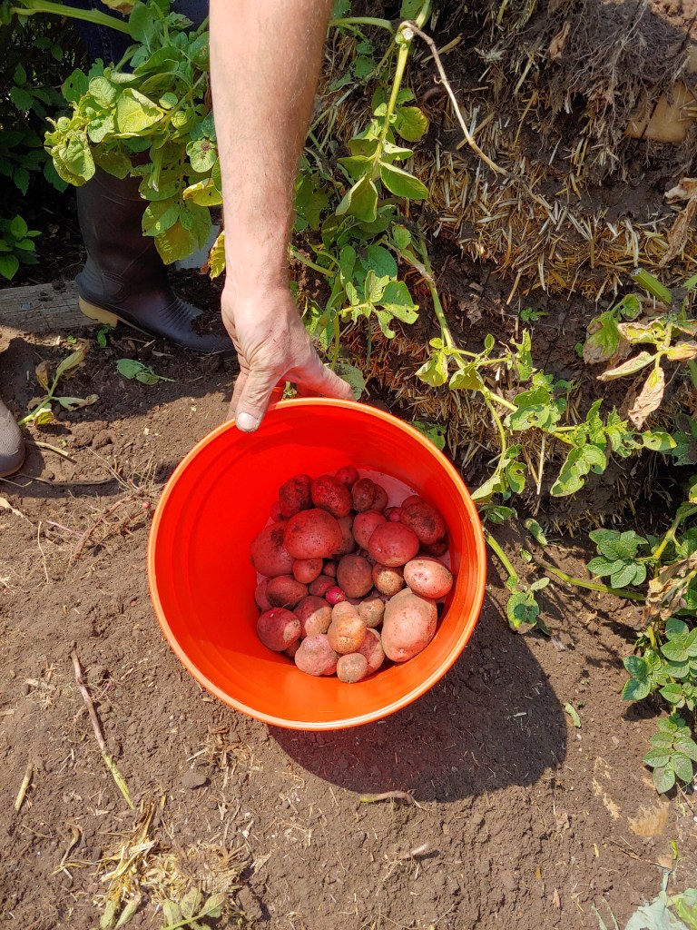
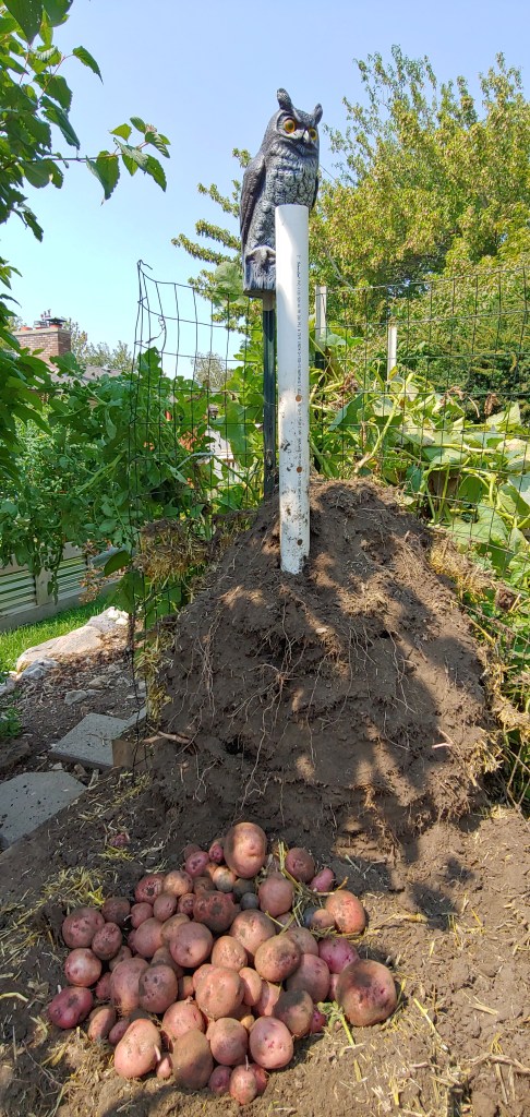
Looking to optimize some leftover fencing and add some vertical space to the garden, Joel made a potato tower this year. The tower consisted of alternating layers of straw and garden soil with a perforated watering tube down the middle.
The great unveiling happened yesterday – probably about 1/2 of the plants produced and he ended up with about 3/4 of a 5-gallon bucket of red potatoes. Add to that the potatoes that came for the others that were planted in the garden, we came out with about 20-ish pounds. Not a huge yield but given the fact it is an efficient way to use vertical space, will pursue again next year.
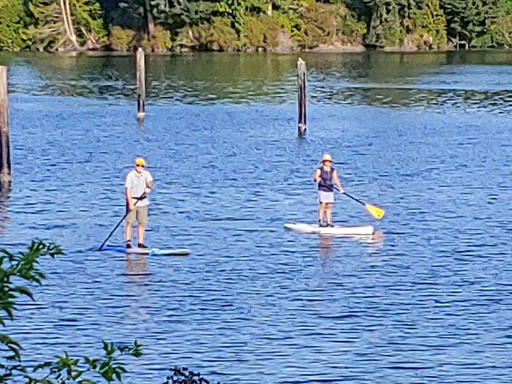
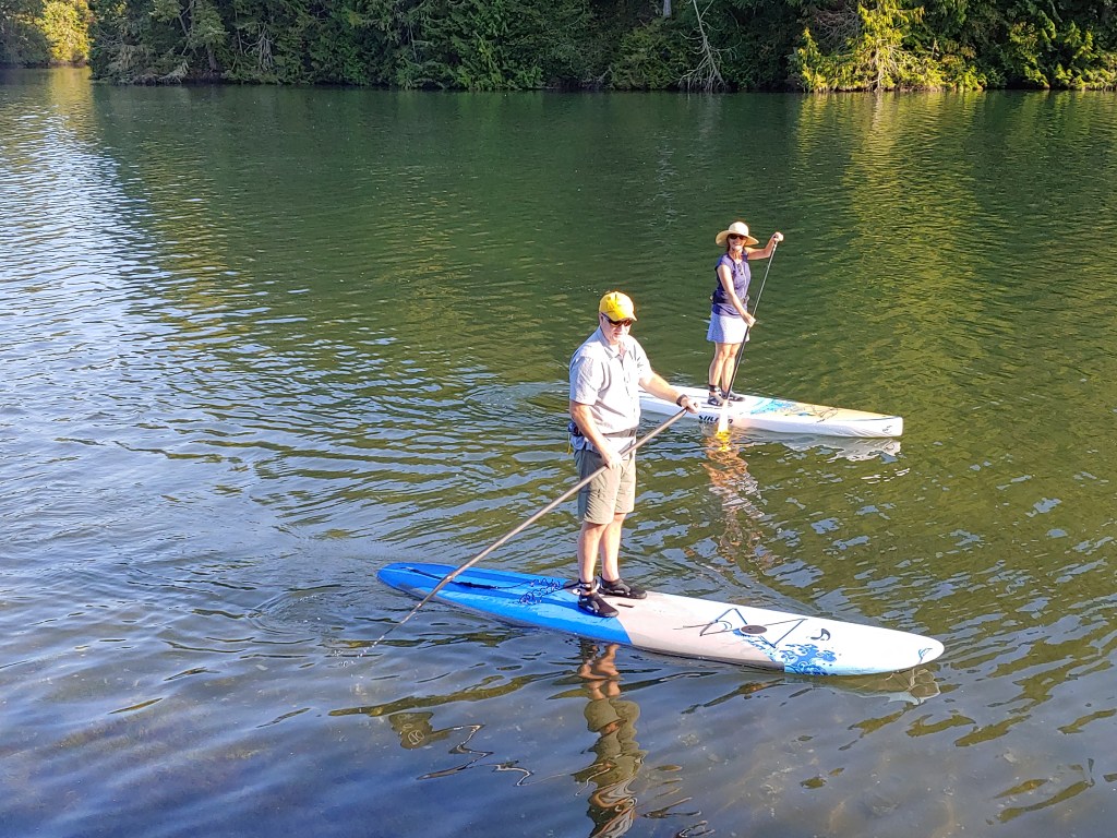
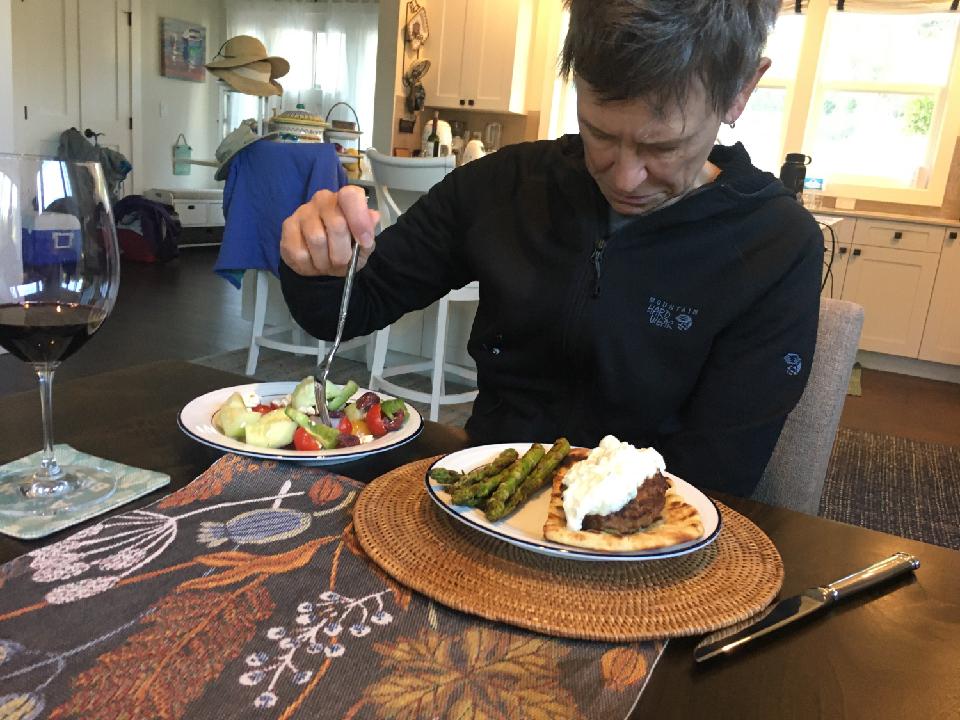
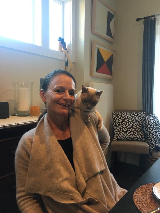
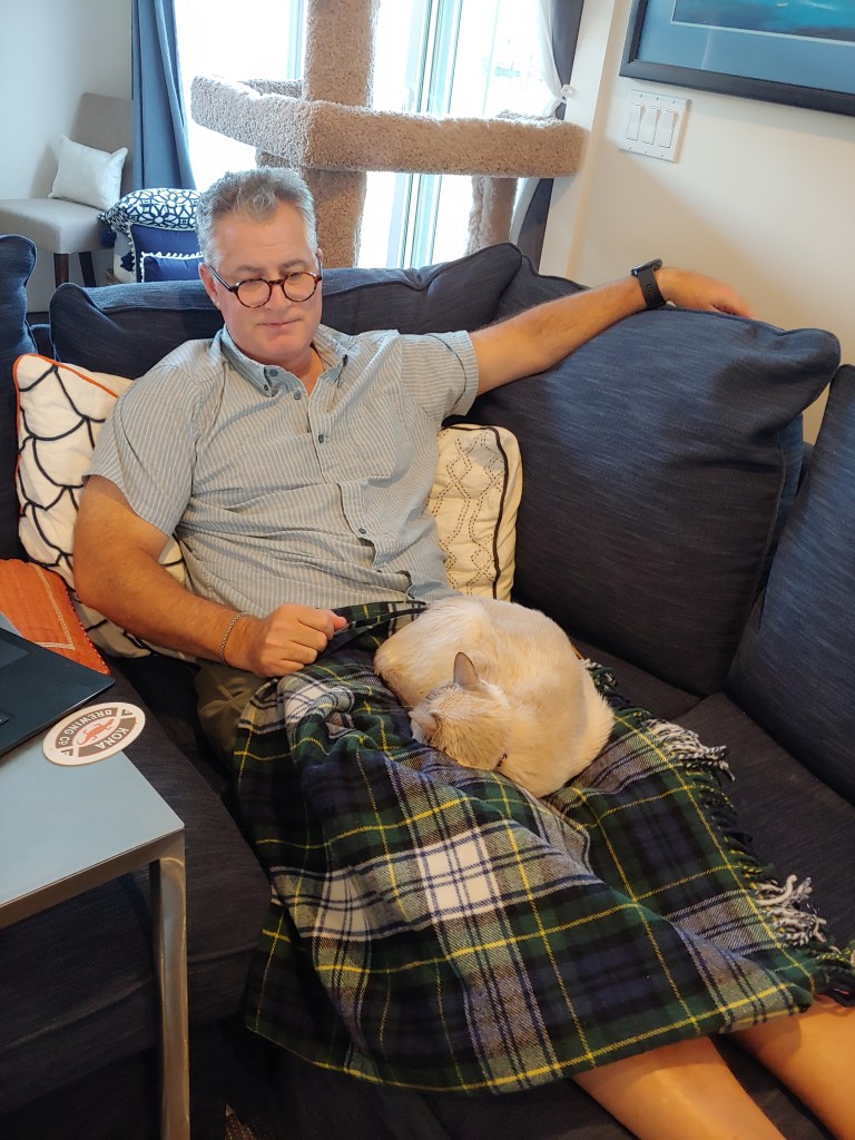
A few more photos from my trip to the PNW last week …
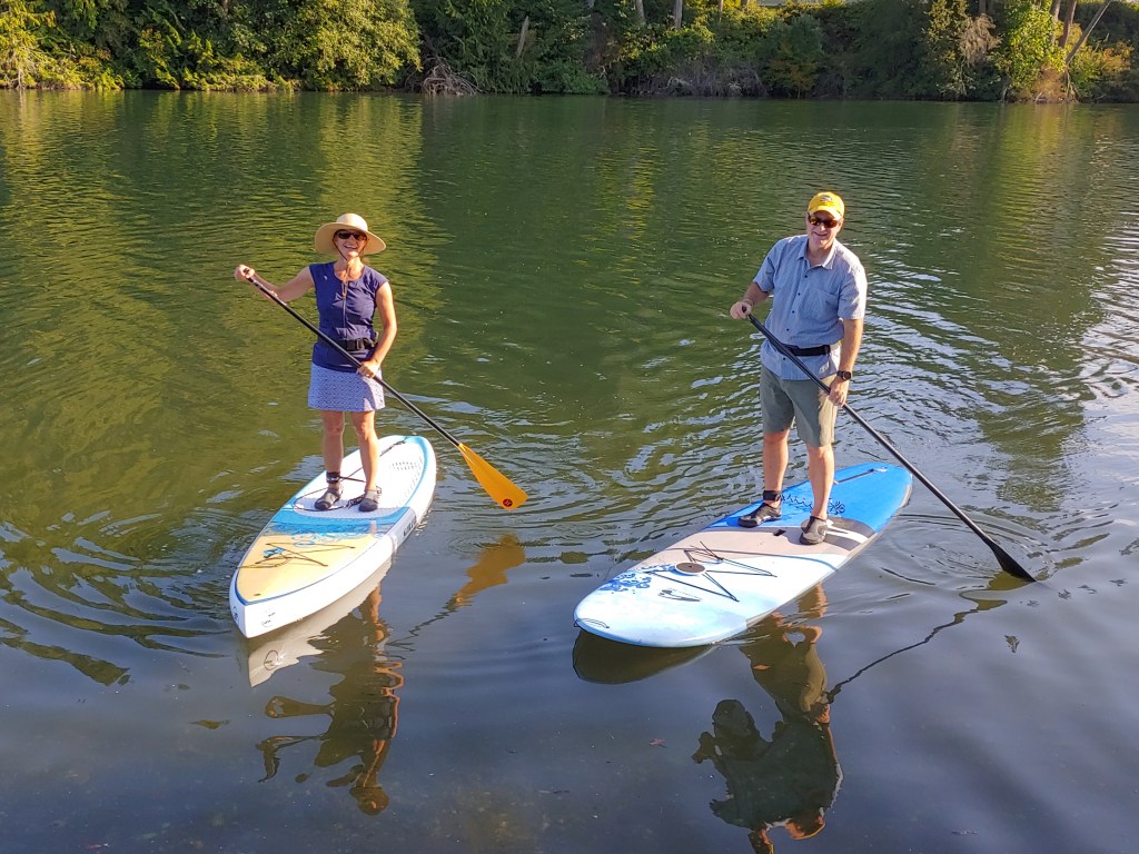
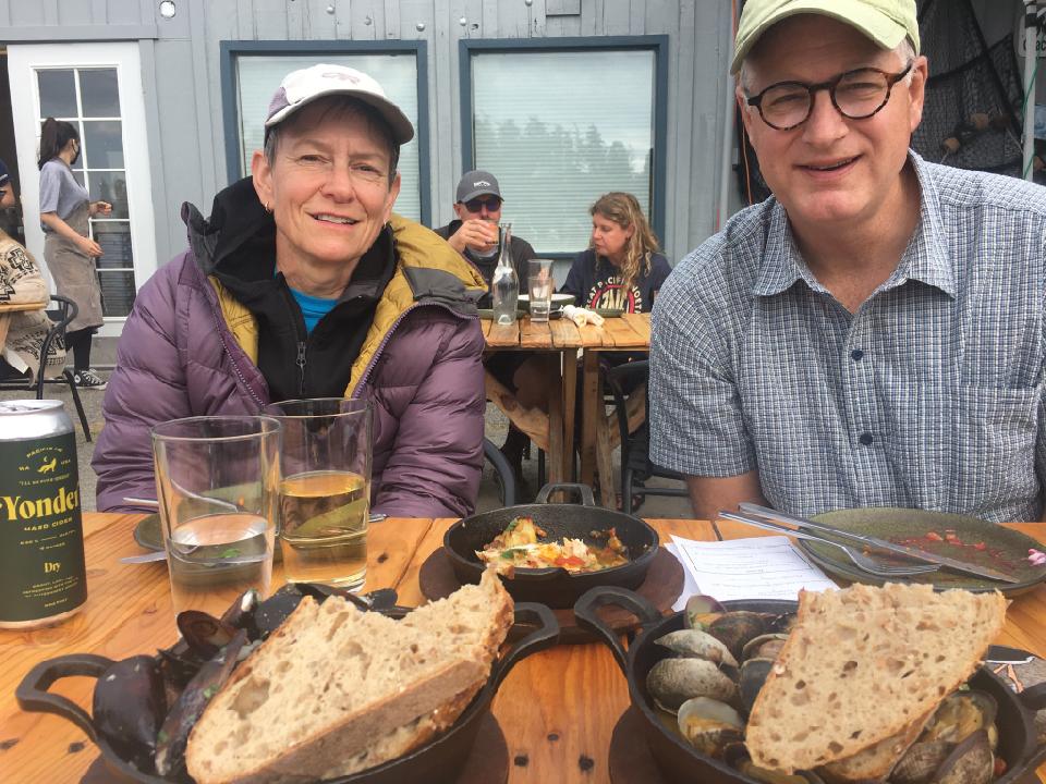
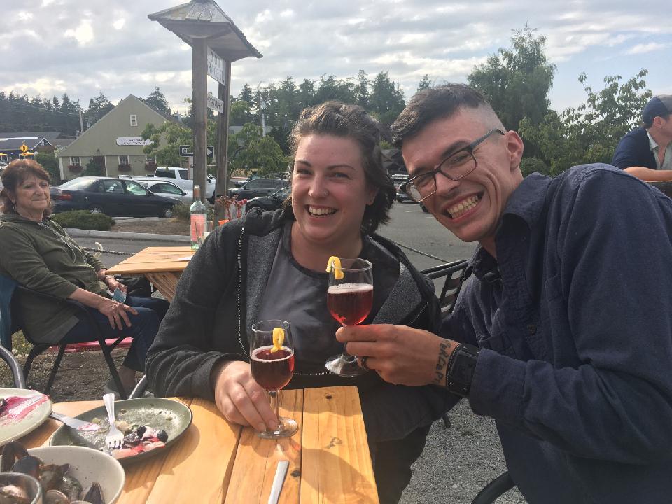
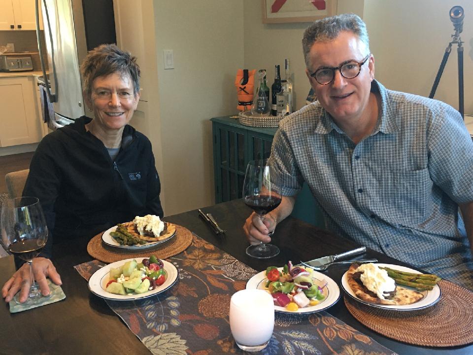
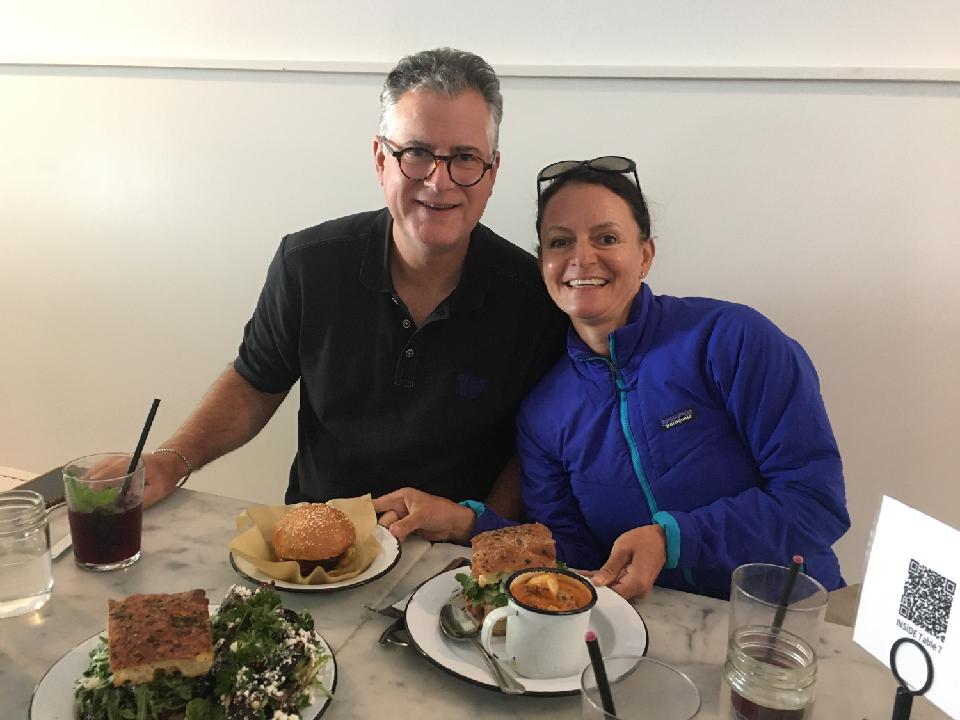
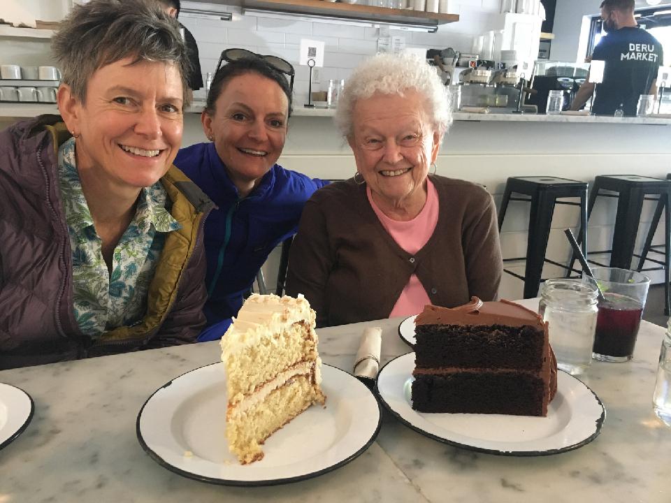
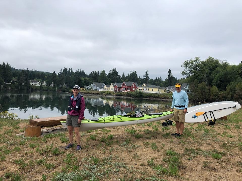
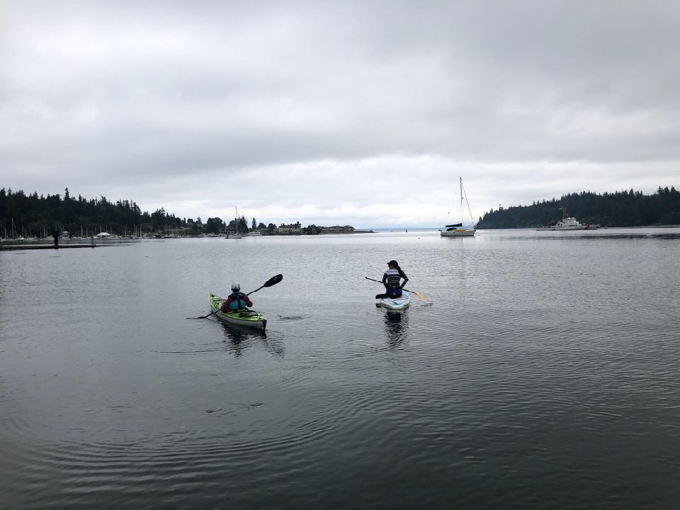
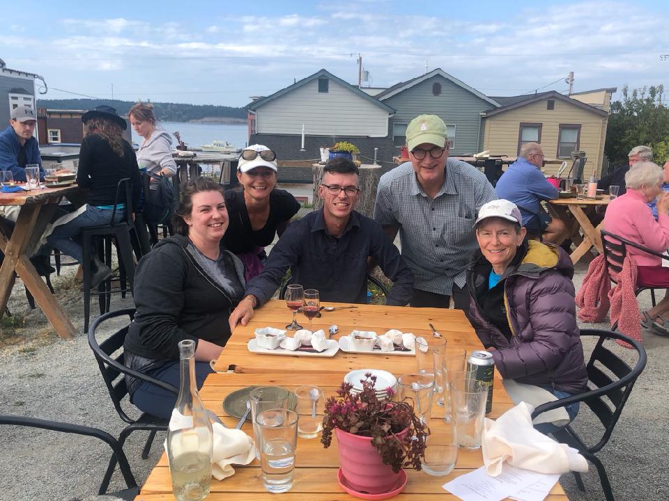
Evening tandem paddleboarding.SUP Dogs?Happy Anniversary to Brandon and Tarah.Another amazing meal compliments of Larina and Bob.Can I make you some tzatziki sauce?Invited dinner guestBeet Lemonade – Odd but good!Giant portions at Deru.Happy (early) Birthday, Mom!Post climb and Anniversary celebration at the Oystercatcher in Coupeville.
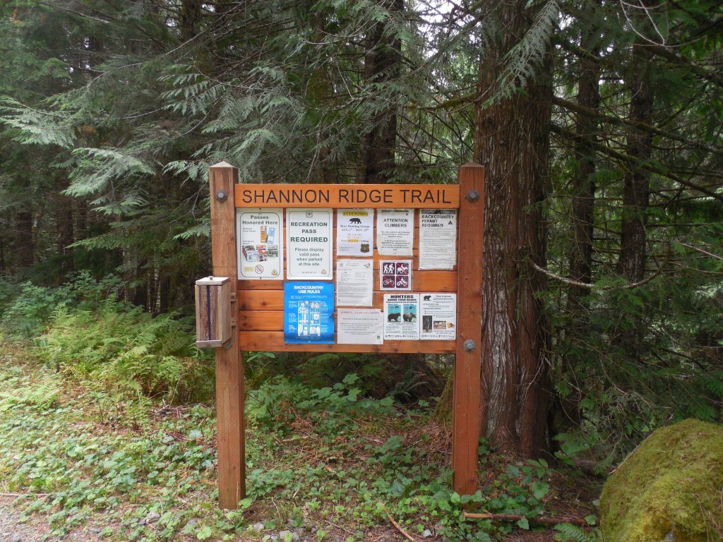
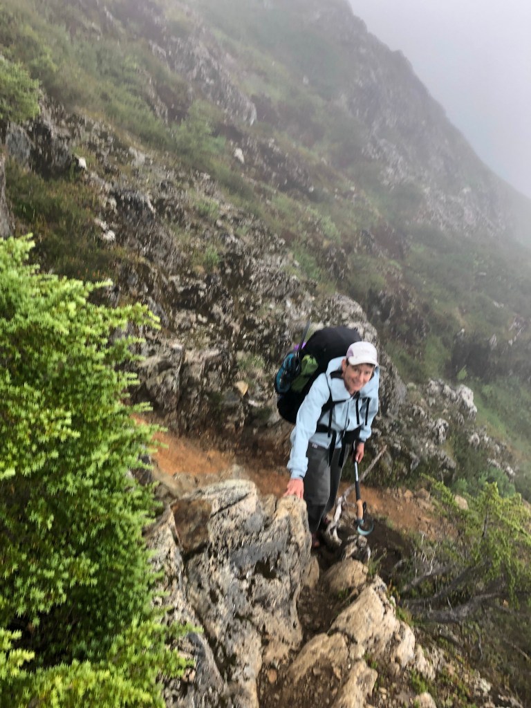
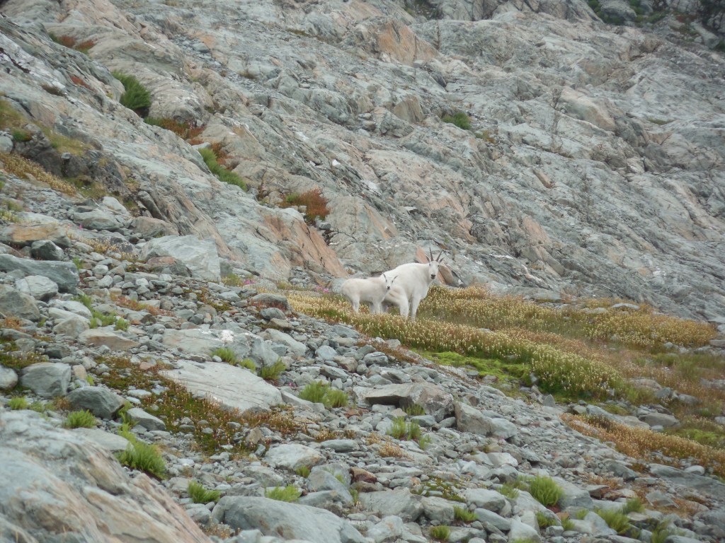
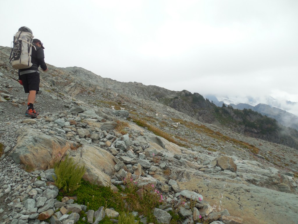
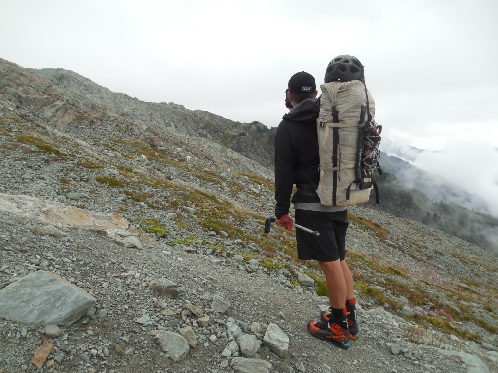
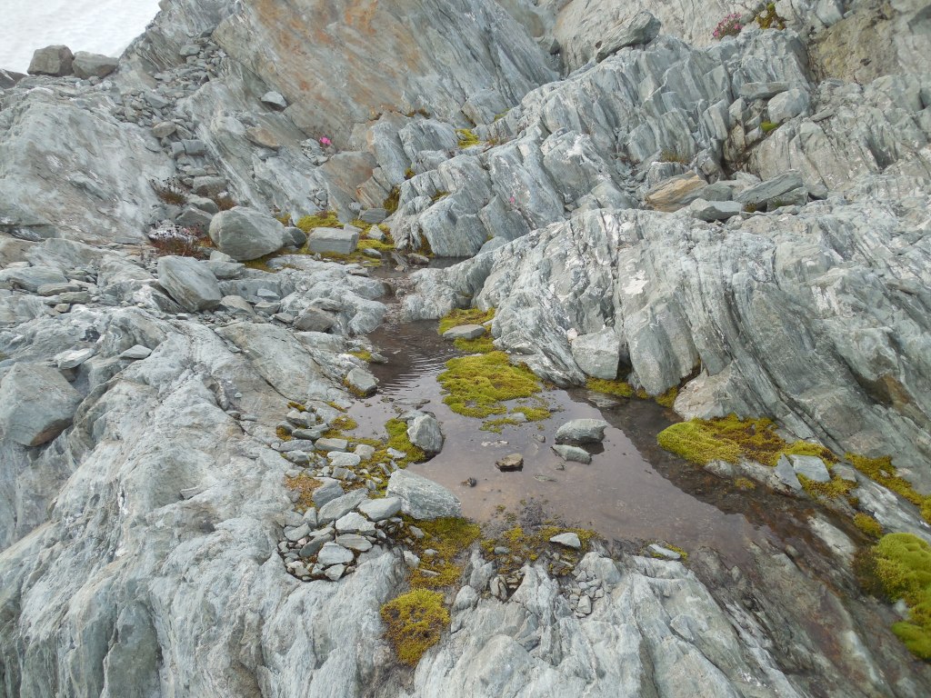
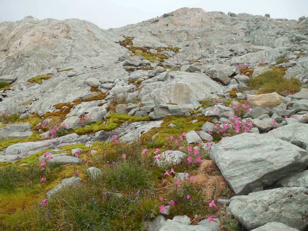
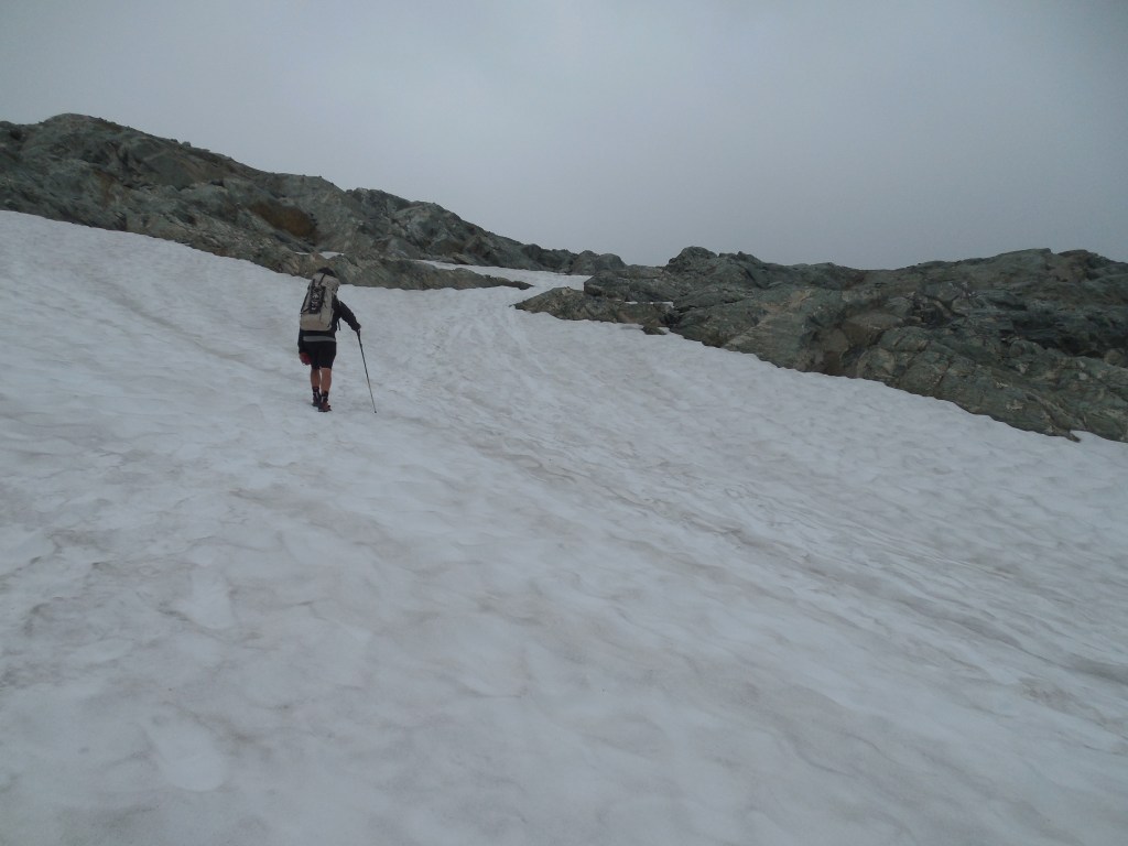
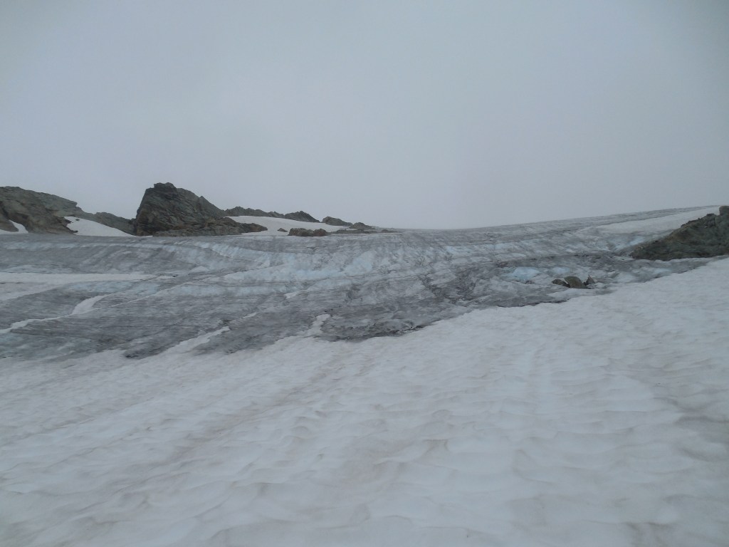
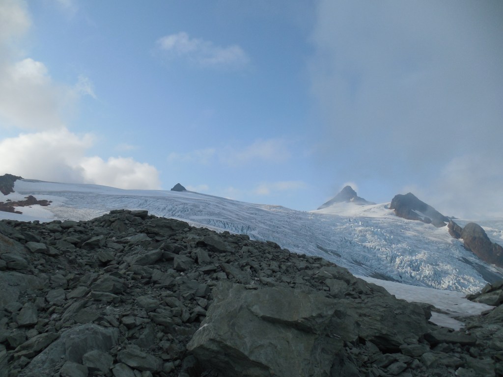
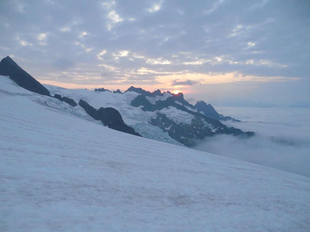
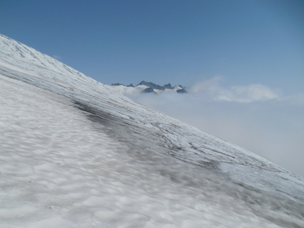
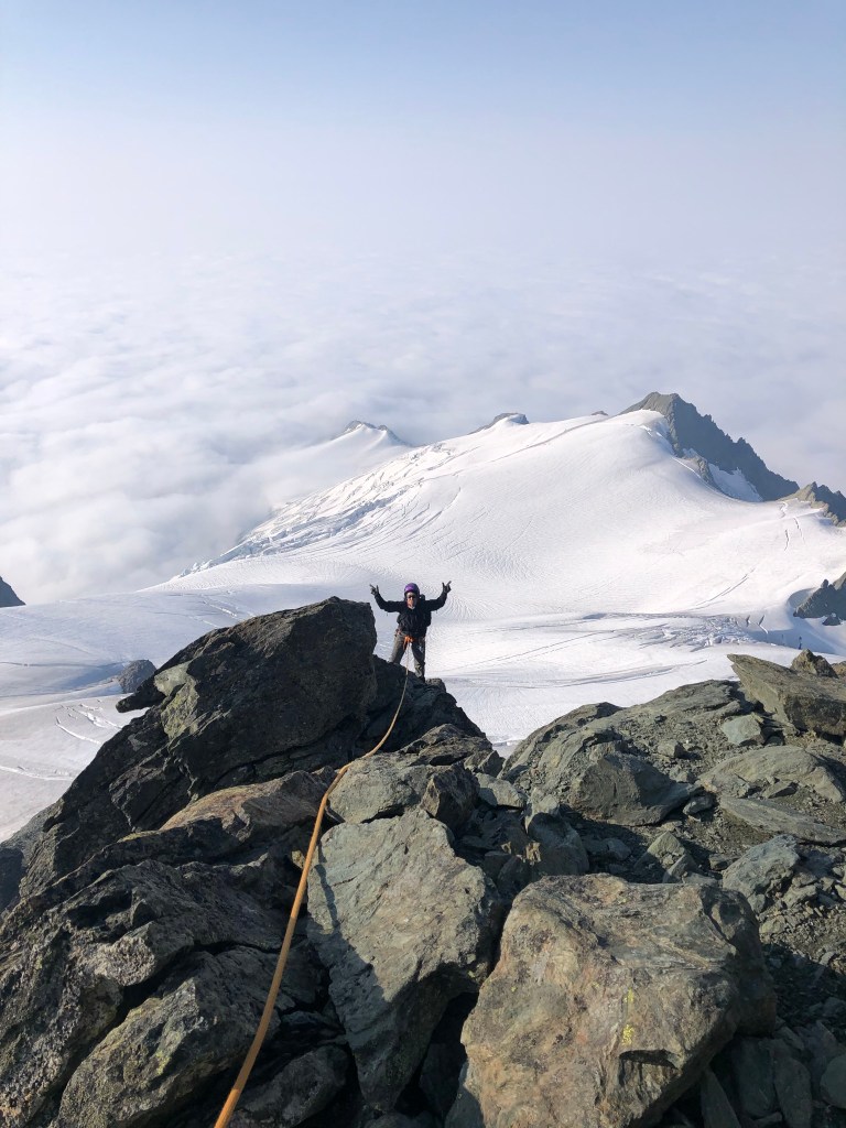
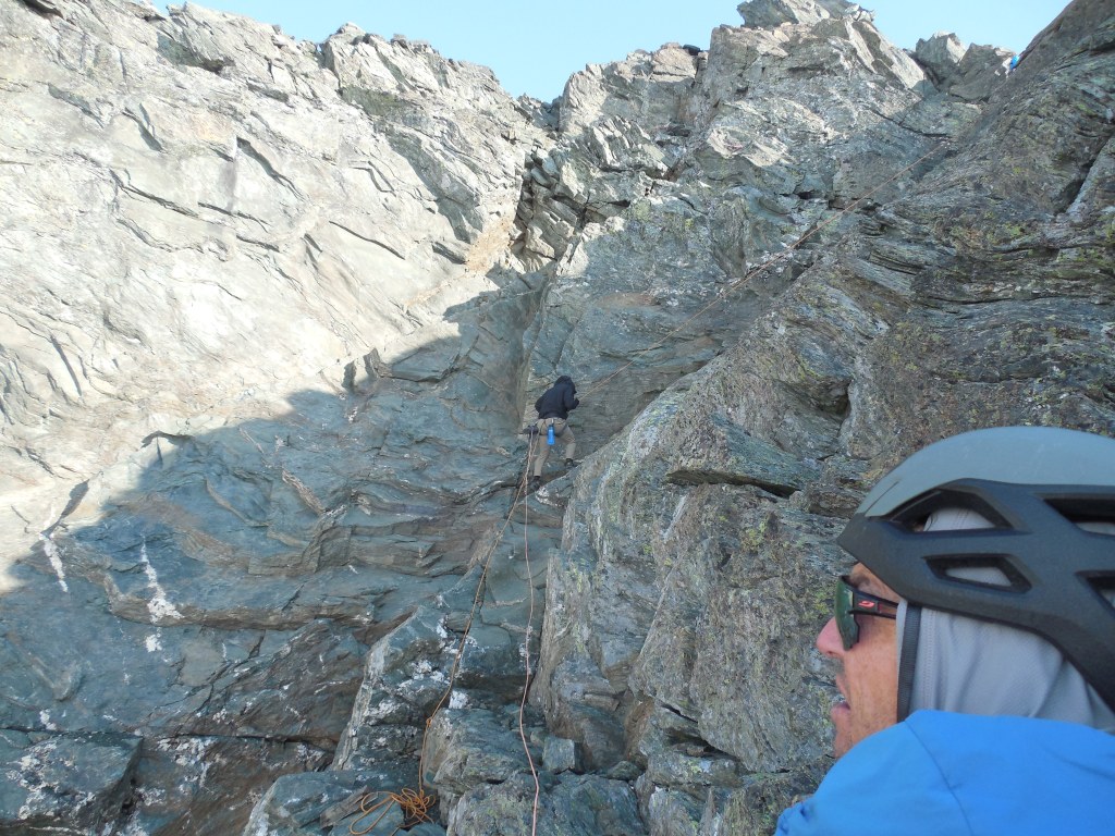
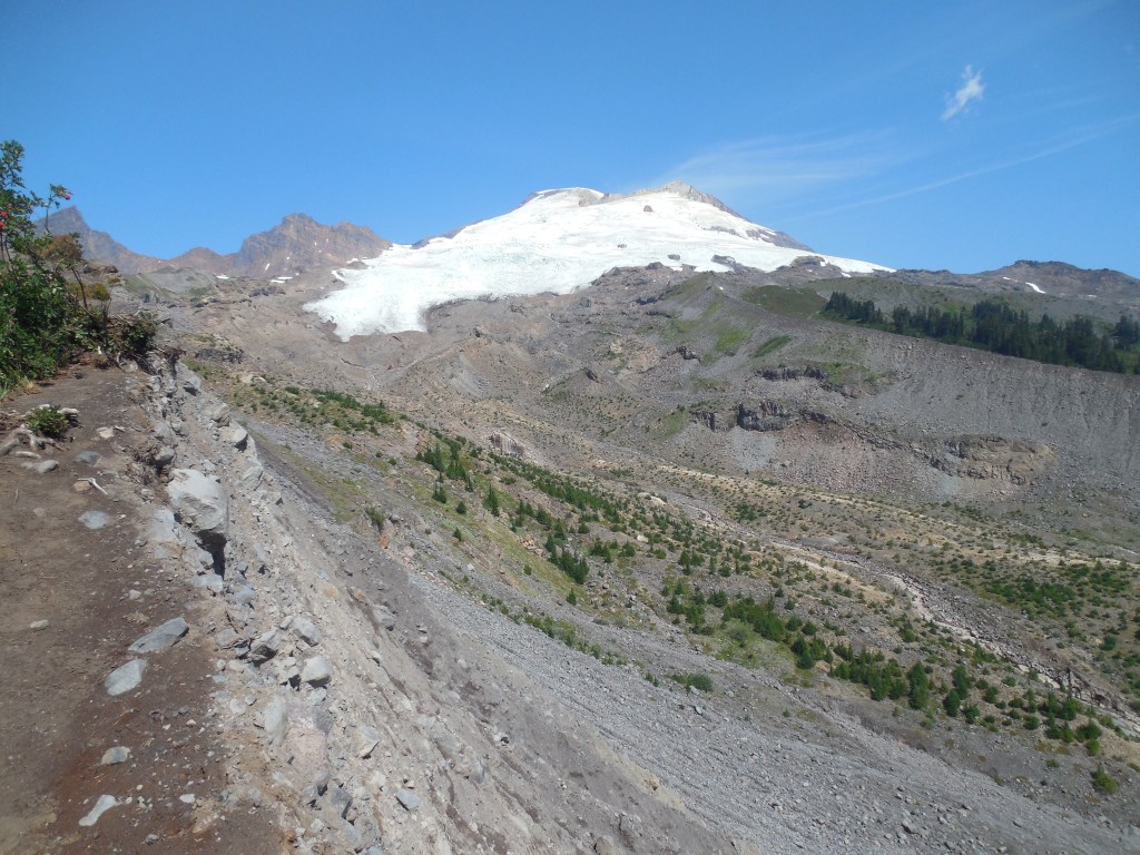
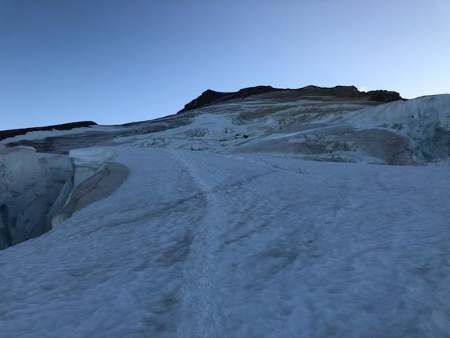
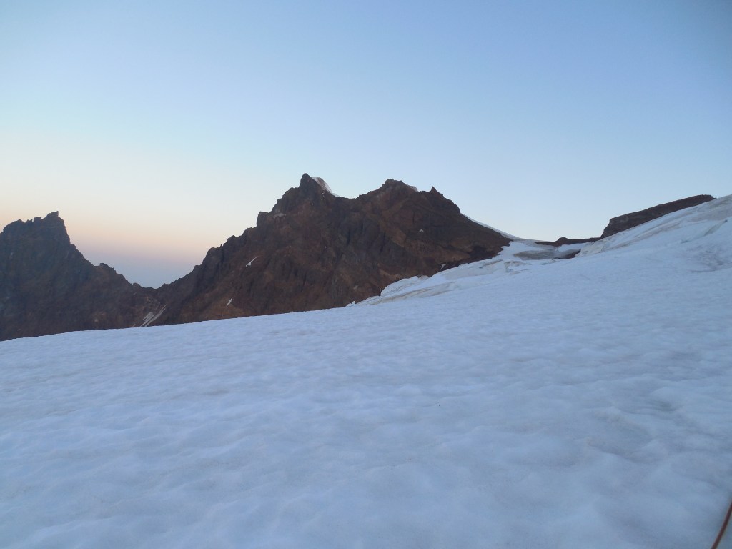
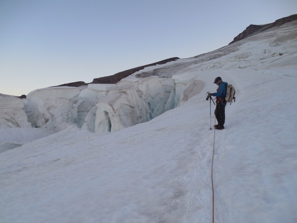
The second objective for my “peak-bagging” on this trip was Mt. Shuksan which is Washington’s 10th highest peak, located east of Mt. Baker. Again, due to ice and rockfall conditions on several of the routes, we decided on the “safer” Sulphide Glacier route. Another glaciated peak, it required about a 7 mile approach hike. The approach hike began on an old road so was not really steep for the first several miles but then became a tangled mess trying to navigate up gnarled roots and rocks. On the way we saw lots of bear poop and we were pretty wary on the trail as there were amazing wild blueberry bushes on both sides, laden with ripe berries.
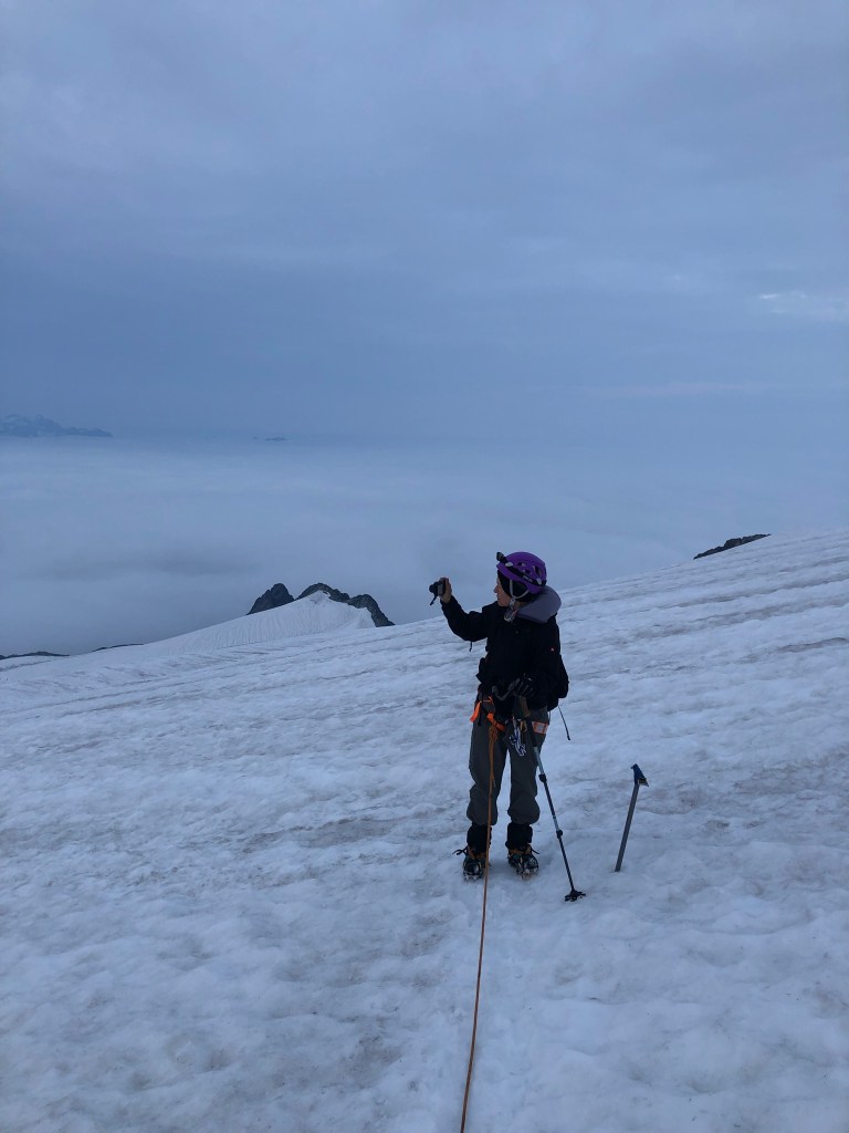
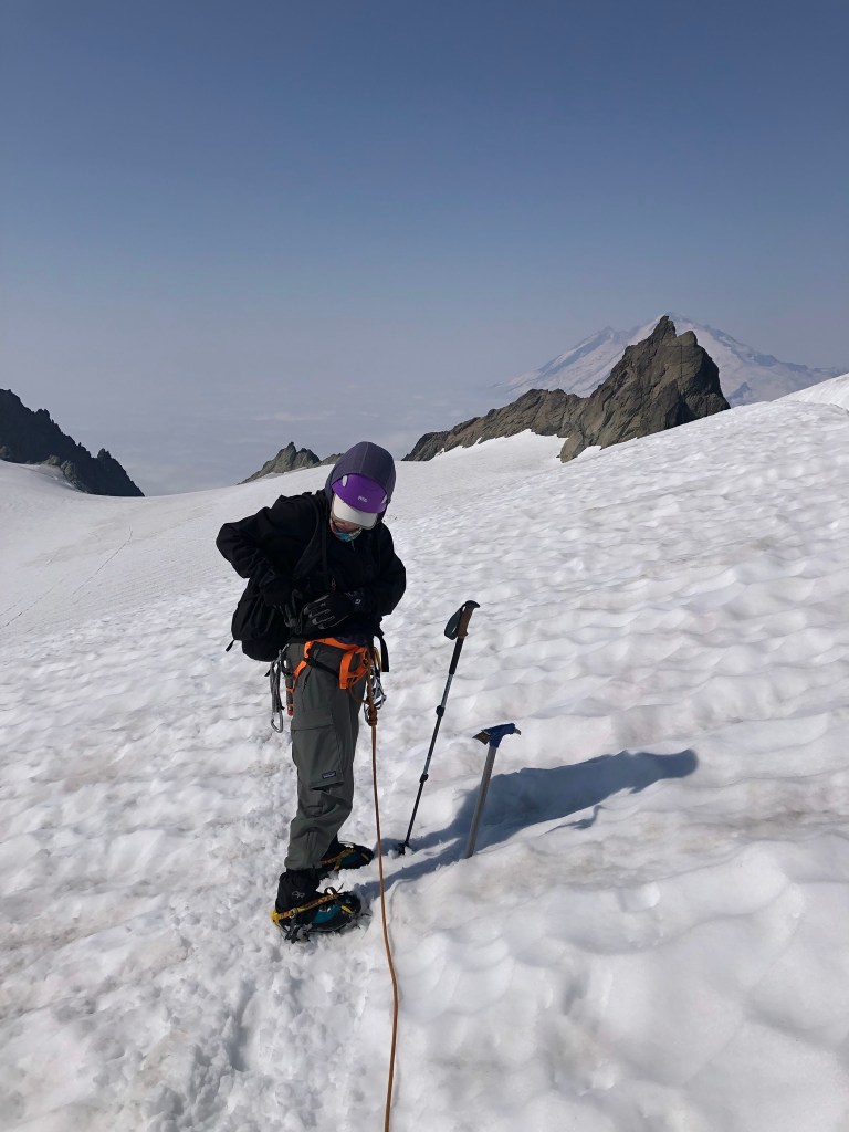
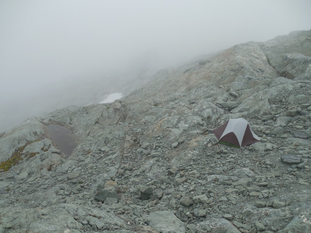
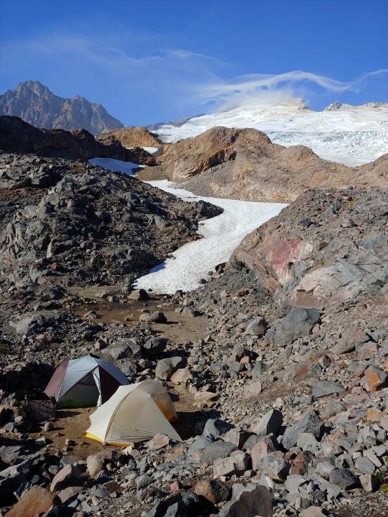
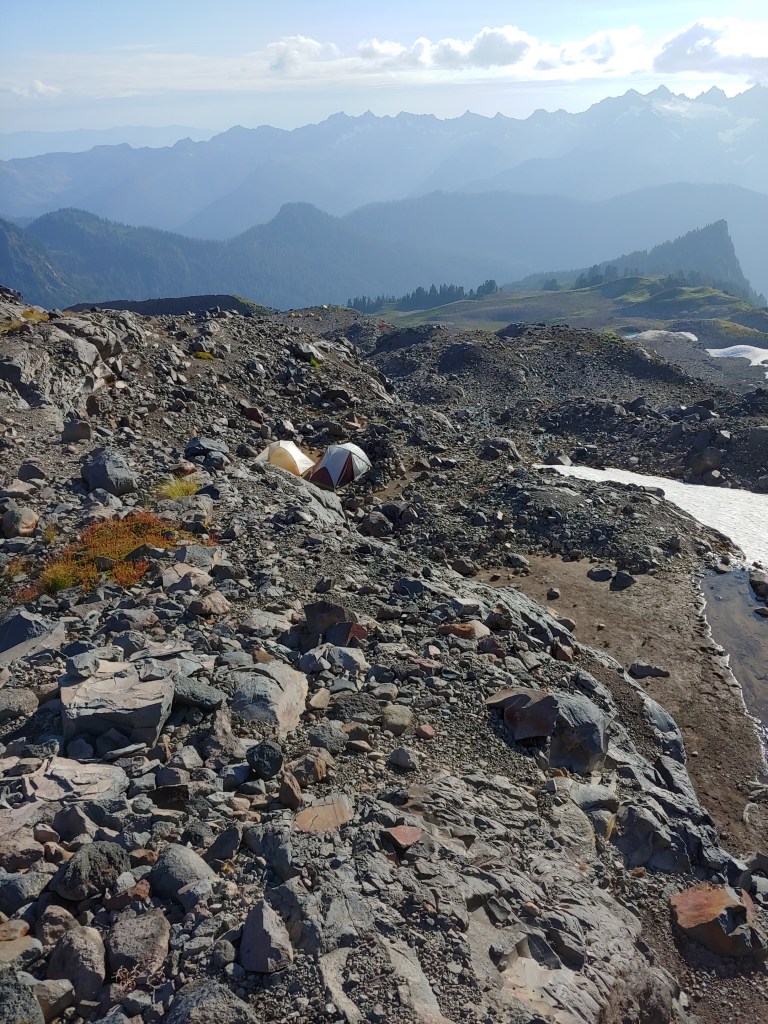
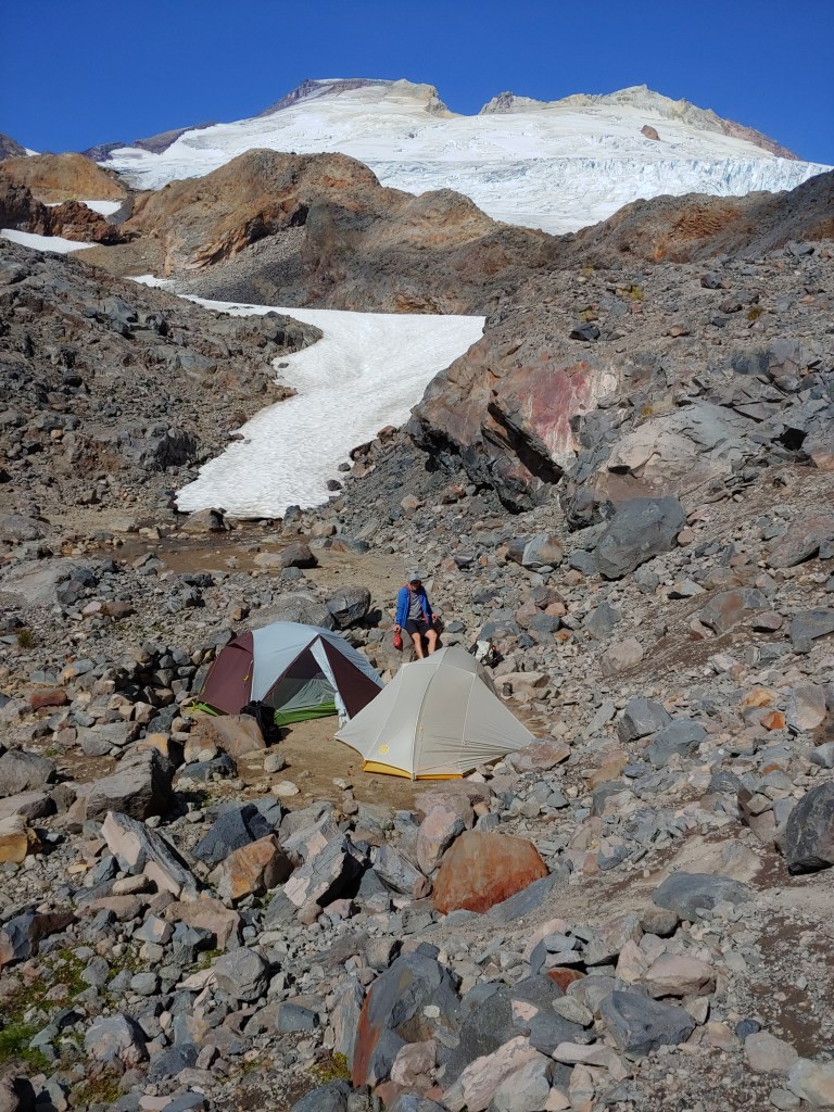
Once we found a good area to camp, we ate dinner, took some photos and filled up our water bottles. The start the following morning wasn’t as early as the Mt. Baker summit although we had about 3,000 vertical feet to climb. The climb starts out on the glacier and then is a roped rock climb up the summit ridge and then a belayed descent down the gully back to the glacier. We made the summit climb in good time but instead of breaking camp and going back down to the car, we decided to spend another night. That was a mistake – probably the most miserable night on a mountain. Ever.
It started raining about two hours after we returned from the summit and did not stop until we headed down the next morning and made it to the car. Every piece of raingear came out and was immediately soaked due to the wind and rain. When I dismantled my tent, it was as wet inside as it was outside and was sitting in about 2″ of standing water. Nothing like trying to cram a wet tent into your pack, knowing that everything inside will be soaked! We made it down to the car in about 1/2 the time it took us to get up to camp.
While drying out and waiting for Larina and Bob to pick me up, I laid all my wet gear and tent out on the sidewalk in front of the Sedro Woolley Ranger Station. Two people asked me if I needed help or a ride somewhere – must have looked homeless!
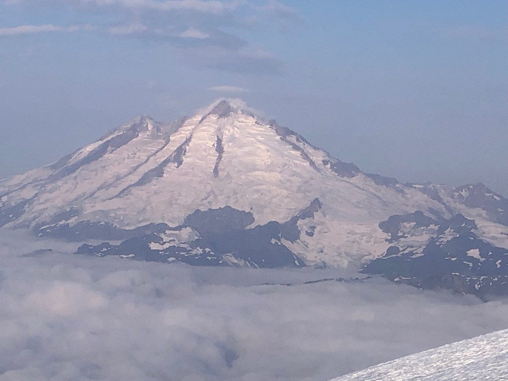
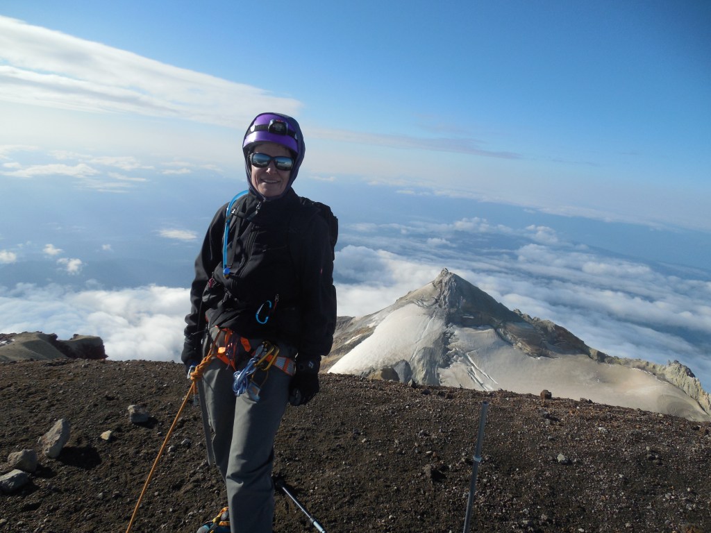
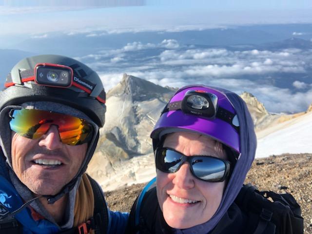
“Excuse me, I’m peeing.”Heading up to our campsite.First view of the Mt. Shuksan summit (rock cone on the left)when the clouds broke .Mt Shuksan summit pyramid is the cone on the left.Almost to the summit!On the summit of Mt. Shuksan with Mt. Baker behind me. It was sort of crowded at the top as we met two groups that left 3 hour before us. I keep telling myself that I was a really fast, strong climber but truth be told, I think they were just SLOW!Another group rappelling down from the summit block.Readjusting and heading down.Mt. Baker from Mt. ShuksanPhoto of my tent – weather is just warming up to unleash one of the biggest rain events the North Cascades has had all summer … Oh Joy!
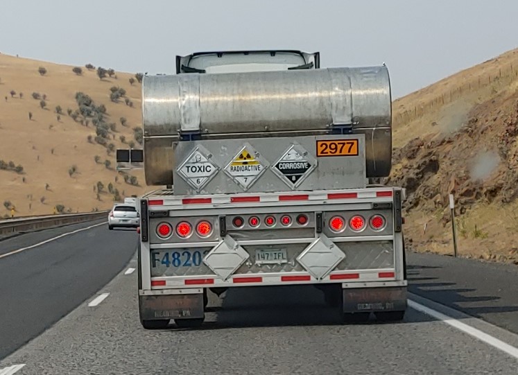
On the drive up to WA, I saw this placarded 18-Wheeler – would one placard not be enough? I thought this was pretty amusing – if it was radioactive, wouldn’t it automatically be toxic and corrosive? Probably on the way to Hanford to bury more radioactive waste.
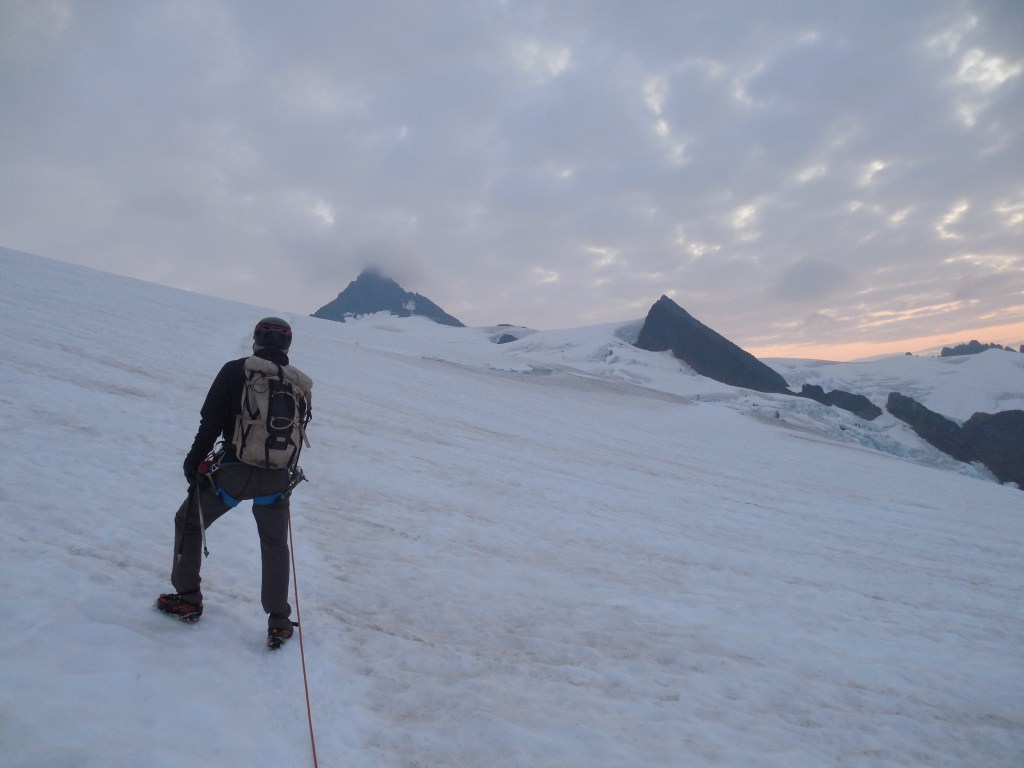
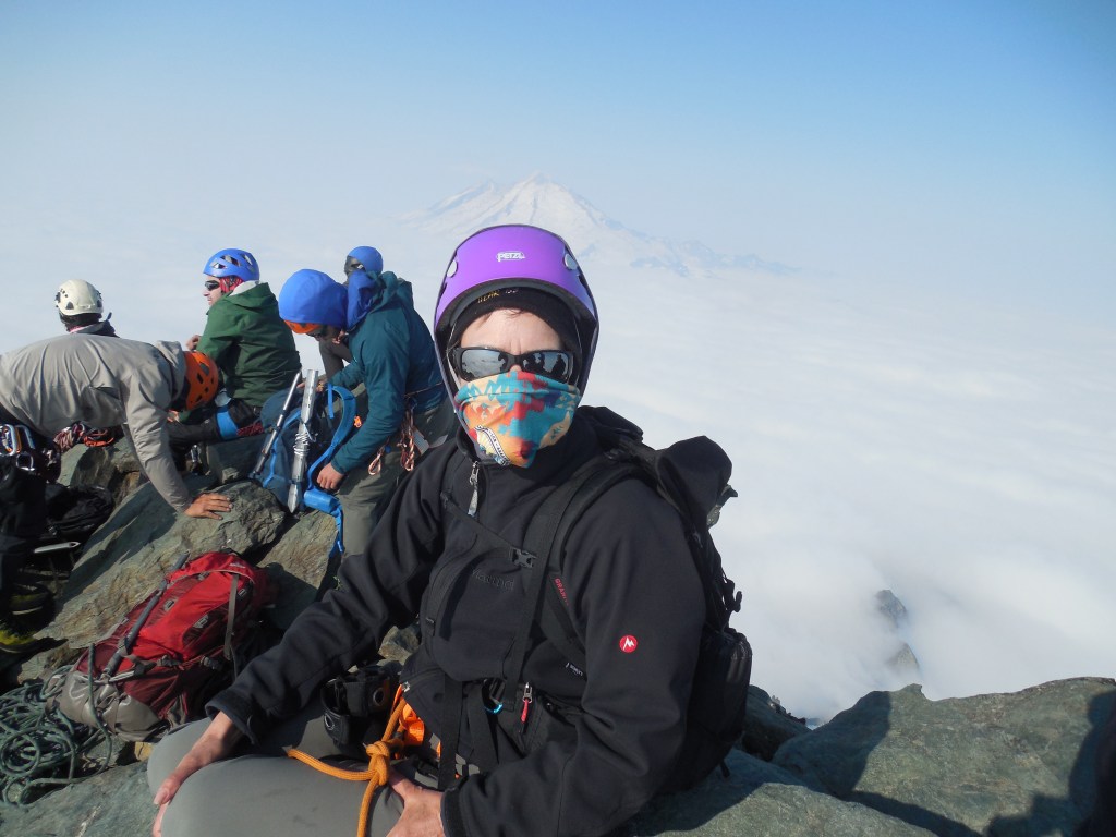
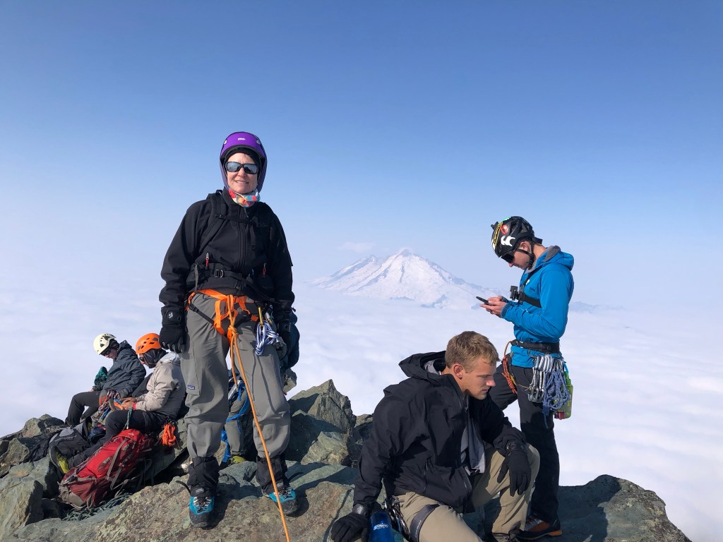
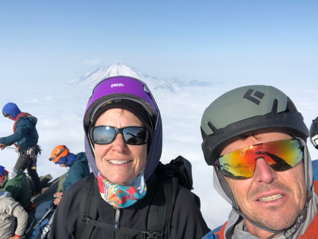
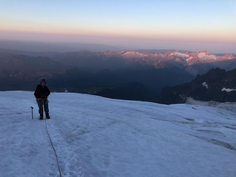
The first of two climbs that I had planned for the week was Mt. Baker. Mt. Baker is the third highest peak in WA. I enlisted the help of a friend/guide from the Salt Lake City area who, with his wife, was one of my guides on Mt. Rainier and also on Denali. Todd is an IFMGA (International Federation of Mountain Guides Association) certified mountain guide, one of only about 150 in the United States. He is one of the owners of Wasatch Mountain Guides and also guides for In The Company of Guides – since Joel has basically hung up his climbing gear due to knee issues and neither of the two peaks were great solo endeavors, Todd flew up and joined me.
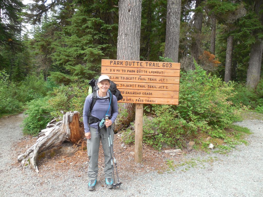
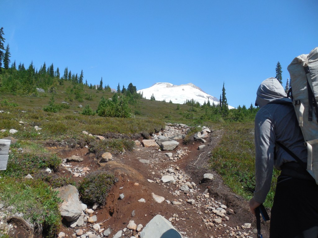
Larina and Bob drove me to the Ranger Station at Sedro Woolley where Todd picked me up. We then headed for Concrete, WA and the Easton Glacier Route. Due to hazardous rockfall issues on the northern routes, we chose the Easton Glacier approach. We did the approach climb up the Park Butte and Railroad Grade Trails to a camp at the glacier.
After unpacking and settling in for the evening we had a 3:00am wake up for a 4:00am start. It was nice to be up and on the trail while the snow was relatively cold, however it never got so cold as to get icy. The trail had been re-established recently and Todd had some friends at Alpine Ascents International that gave him the route beta – mostly to avoid the crevasses that were open and the snow bridges that were becoming risky to navigate over.
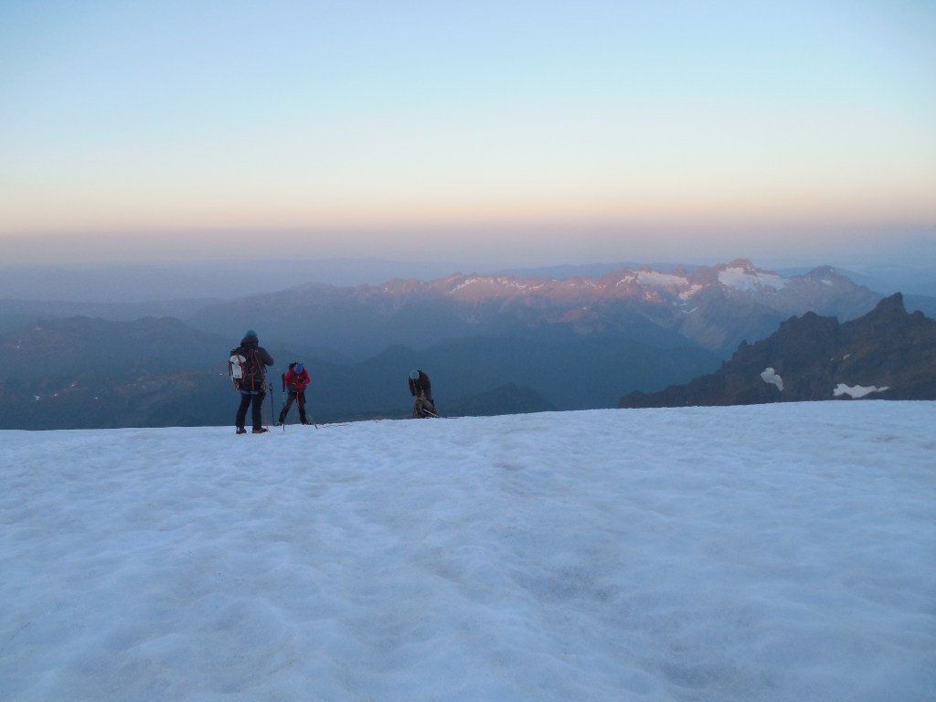
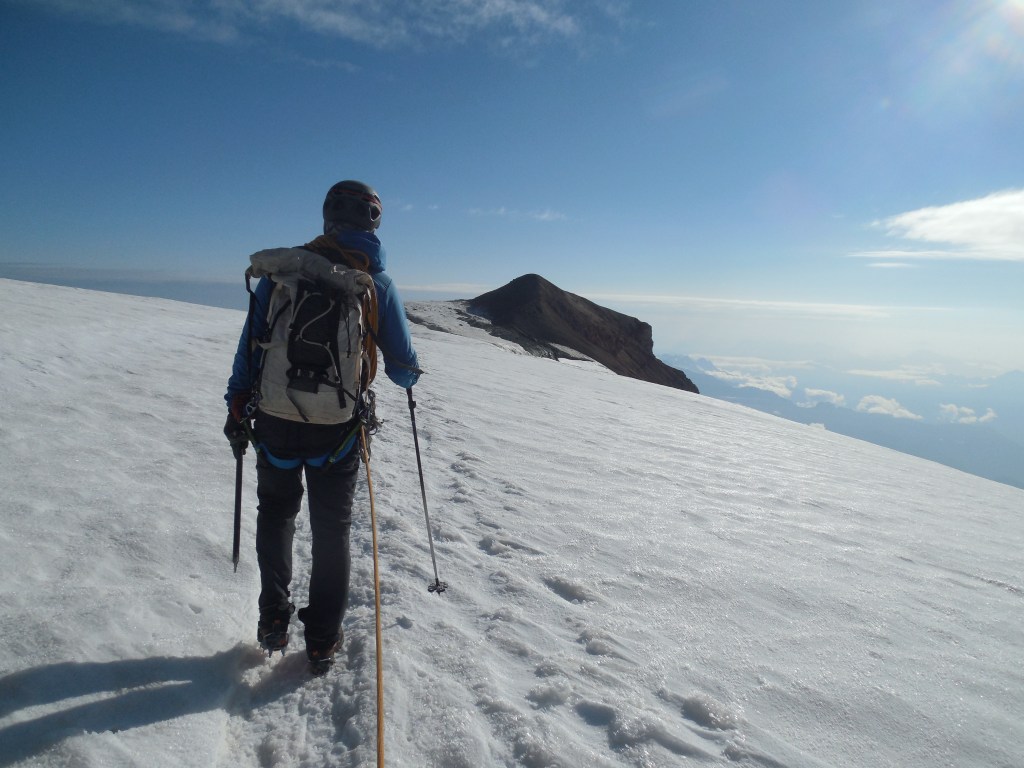
We were one of the first groups on the summit and it was a beautiful morning. We didn’t spend much time on the summit as the snow was getting pretty mushy on the way down. The summit day was about 7 1/2 hours up and back. We relaxed around camp for about an hour, then packed up and headed down to the car. I think the total route was about 13.5 miles.
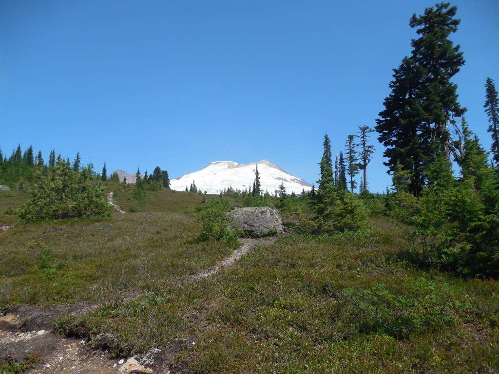
Turnoff on trail to head up to the Railroad Grade Trail – first good view of Mt. Baker.The Railroad Grade is a very steep-sided lateral moraine leading up to the Easton Glacier.Crazy clouds over the summit.The actual summit of Mt. Baker is behind the highest formation to the left of the saddle in the photo so you can’t actually see it until you get up top.One of the teams ahead of us decided to call it quits and turn around just as the sun was coming up … ODD …Todd checking his Gaia app for the most recent trail through the open crevasses on the glacier.After about 4 hours of climbing we are approaching the summit.Yay – at the top! Too bad my legs got cut off on all the summit photos.
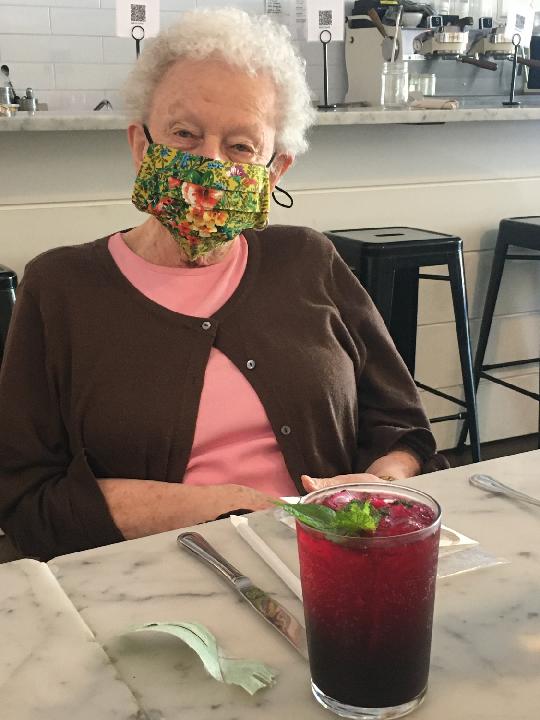
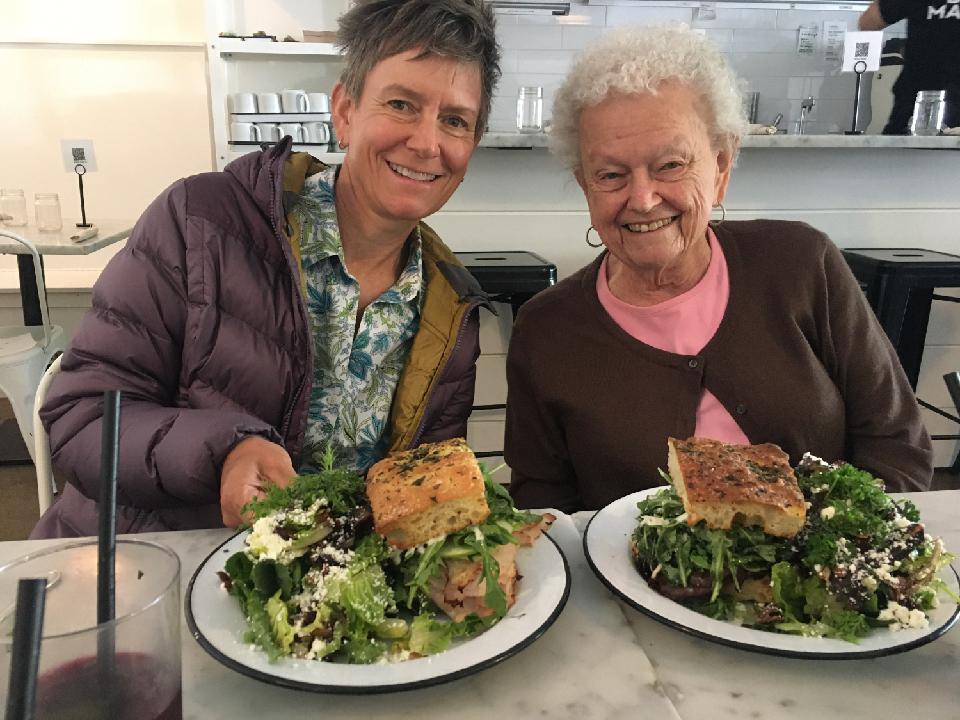
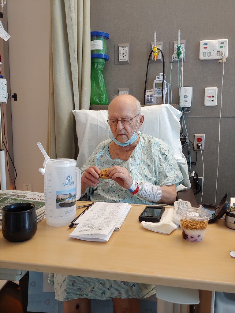
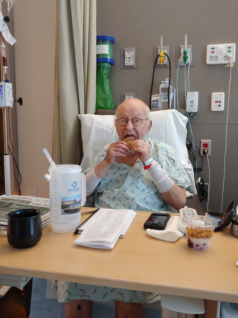
Larina and Bob rolled out the gigantic Welcome Mat as I drove up to the PNW to get in a few climbs and family visits. I had the trip planned months in advance as sort of a “look see” to gauge fitness and ability in preparation for a planned climb next year of Cho Oyu. As Dad took a spill just prior to me leaving, I had the opportunity to visit him and Mom a couple of times before and after the climbs.
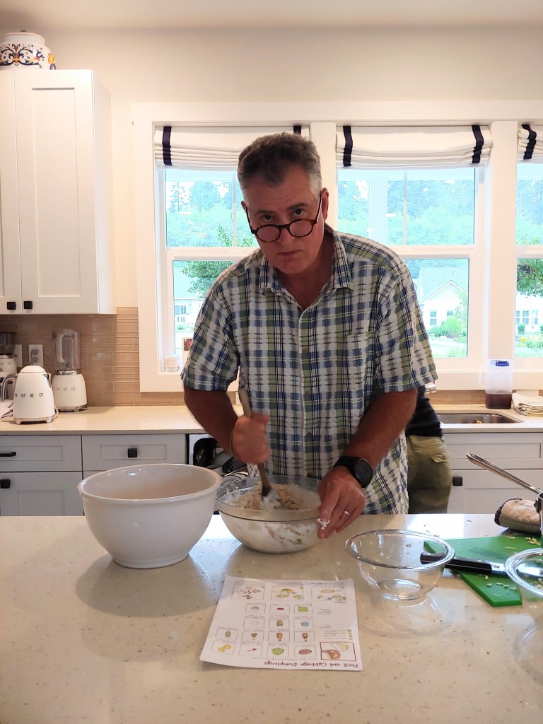
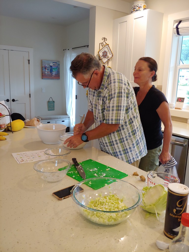
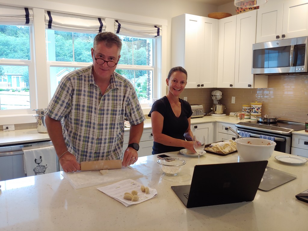
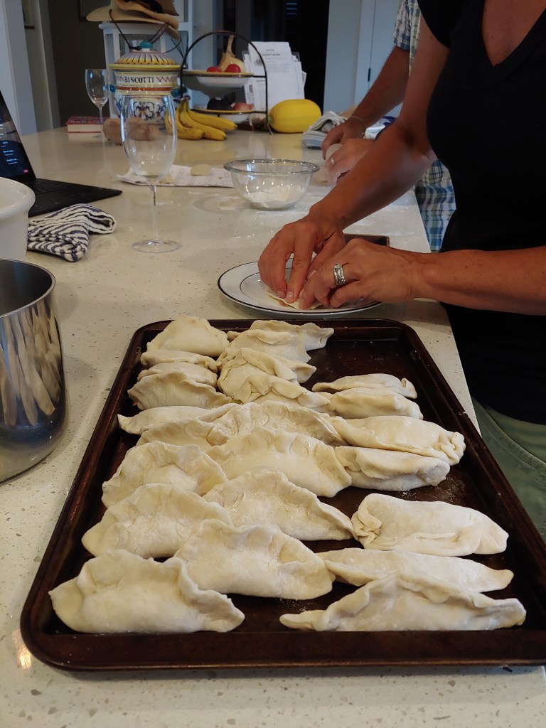
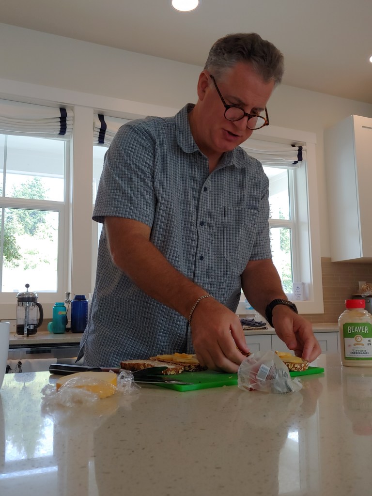
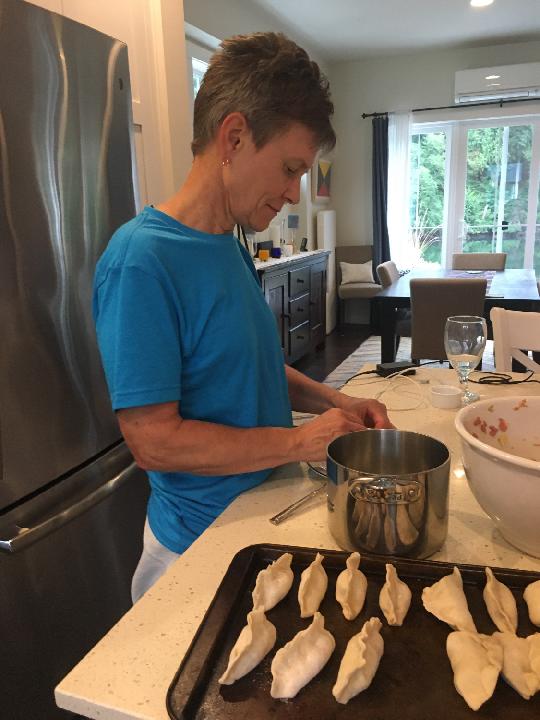
Bob is close to being 100% officially retired and has taken up a new role of Sous Chef for Larina. Among the dishes he prepared while I was there were homemade Potstickers, Greek Salad, and Grilled Cheese Sandwiches. Bob may just have a second career in the works! Larina provided all the rest of the goodies to make sure I was very well fed!
Bob is very serious about his Potstickers – even made homemade dough!He still may need some kitchen oversight!Grilled Cheese Sandwiches It is always “Tiger Time” when you visit Larina and Bob!
Dad was able to enjoy some of Larina’s amazing Chocolate Chip Cookies.
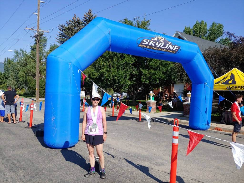
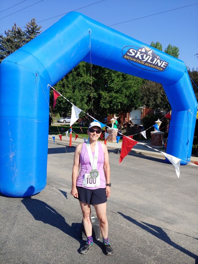
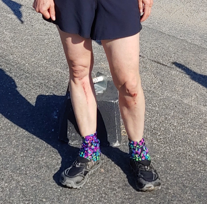
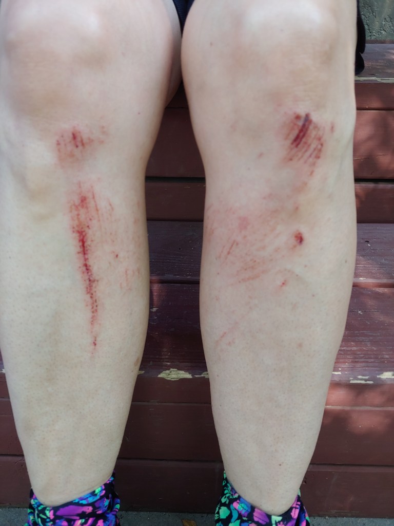
For the third year in a row I participated in the Skyline Half Marathon which is basically out our back door and up the North Ogden Divide.
My time this year was the WORST EVER but I attribute that to trying too hard and taking a nice tumble about 5 miles into the 7 mile downhill section. Wasted at least 5 minutes brushing the dirt off my wounds. But, as Joel so nicely put it, “You are the oldest in your age group this year (50-59) but will be the youngest next year when you move up an age group.” Reassuring, I guess!
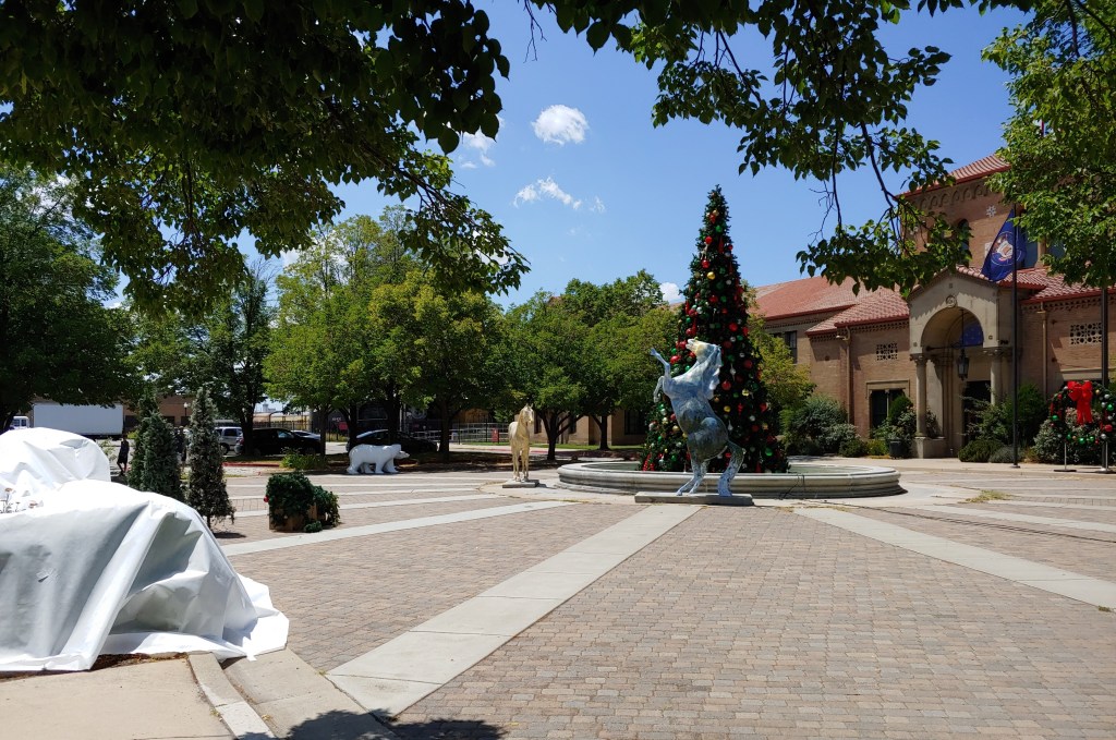
As the yoga studio I take classes from is on Ogden’s “Historic 25th Street,” we often have close encounters with film crews that are using the old buildings. I believe that many scenes from the series “Yellowstone” with Kevin Costner were filmed on this street.
Today, with temperatures predicted in the mid 90’s, they are filming some Hallmark/Lifetime Channel/Christmas Chick Flick. I am sure it is along the lines of:
Young, beautiful, successful businesswoman from New York returns to her small, rural hometown for the holidays. Of course, she is single because she has just not connected on a cerebral level with anyone in New York. As it happens, she runs into the handsome high school jock that she had a crush on, but was too shy to ever initiate any conversation with. She soon learns , through the grapevine, that he was involved in a crippling combine accident several years ago on his family farm; losing one leg and 1/2 of his manhood. Ashamed, he has never recovered from the trauma, BLAH, BLAH, BLAH … HAHA I could write one of those …
Here is one of the backdrops they were getting ready at Union Station – they threw white sheets over the plants and started wheeling in Christmas trees and polar bears. I felt sorry for the crew, extras and actors as they were all huddled in a small amount of shade wearing high heeled boots and down jackets!
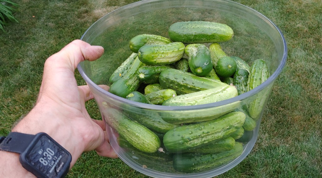
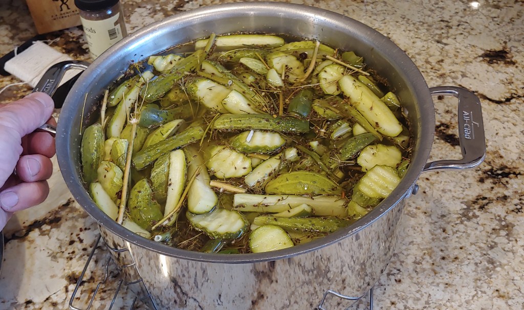
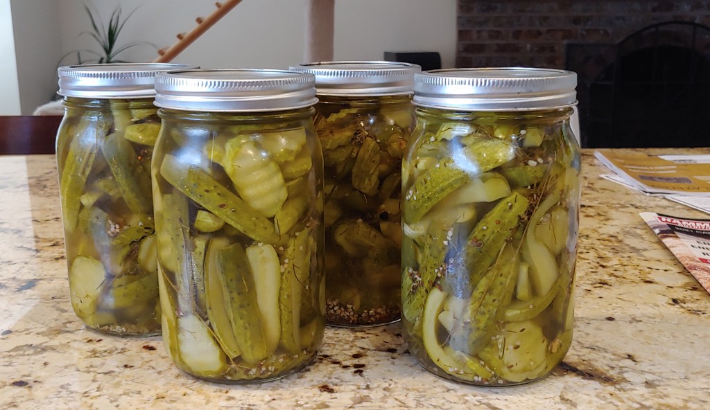
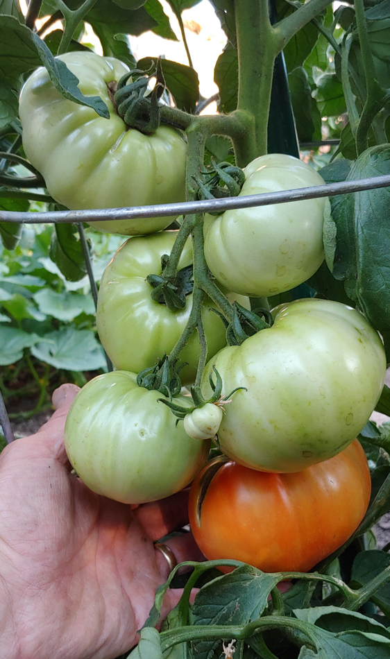
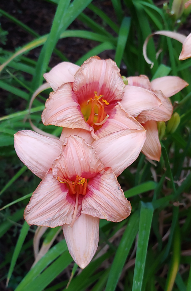
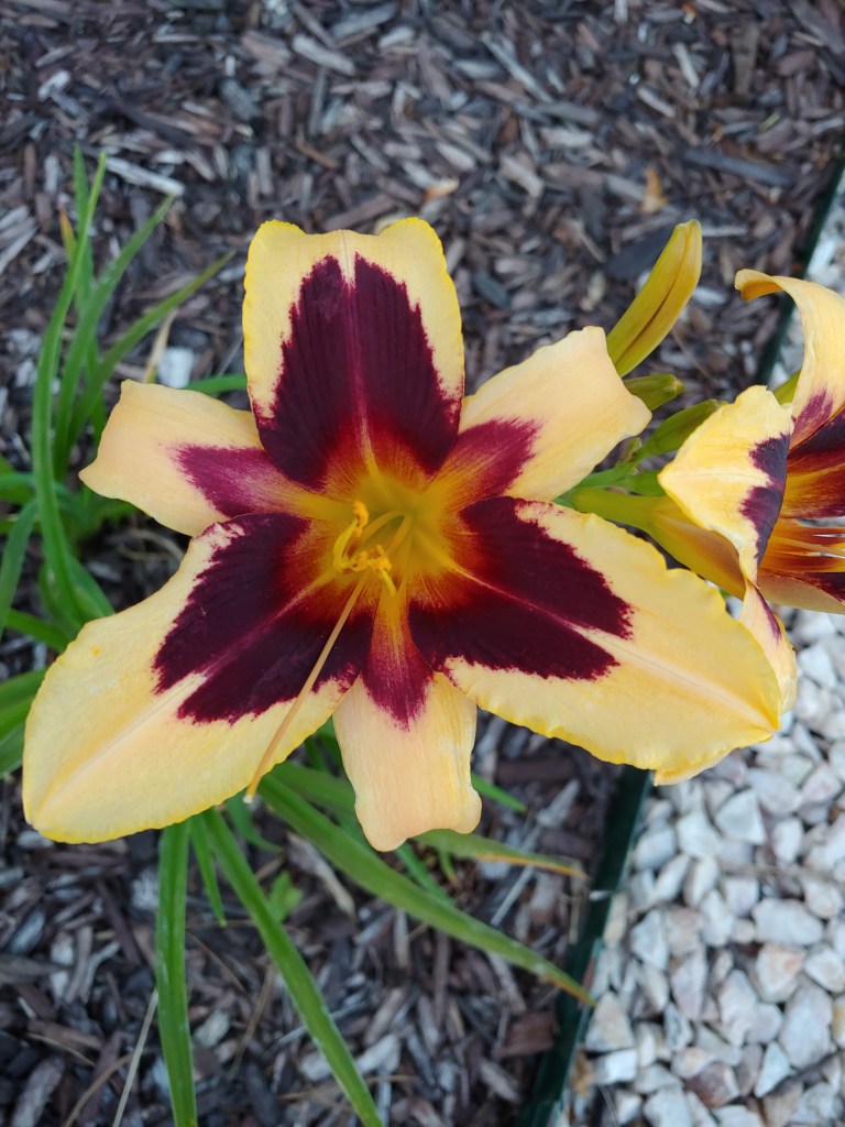
A few more photos from the garden and yard – keeping us both busy, for sure!
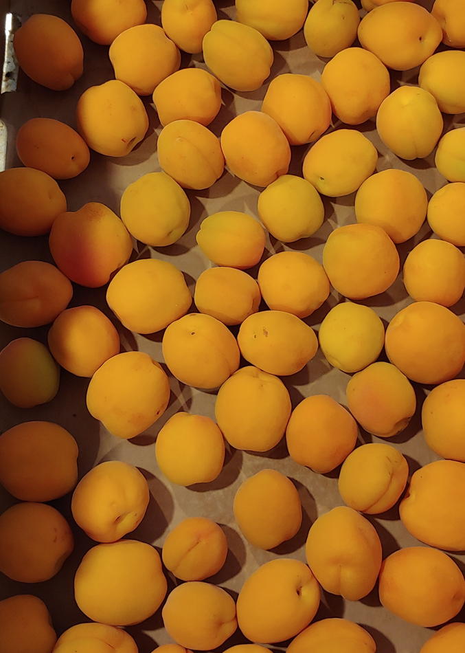
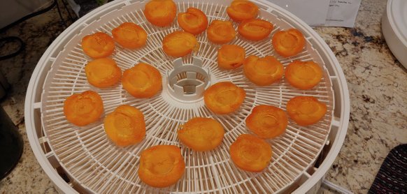
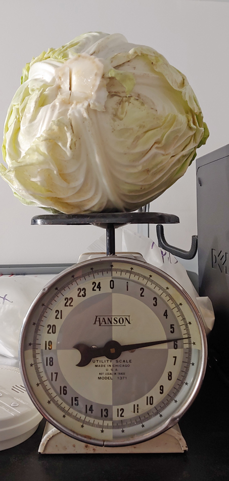
From a neighbor’s house – they had so many they were just falling off the tree!Dehydrated the apricots and then chopped them up and added them to Breakfast Cookies with chopped dates and almonds! Mom also sent a recipe for a dessert using an apricot puree – will have to try that, as well!First of many giant cabbages – many. many batches of coleslaw in the future!
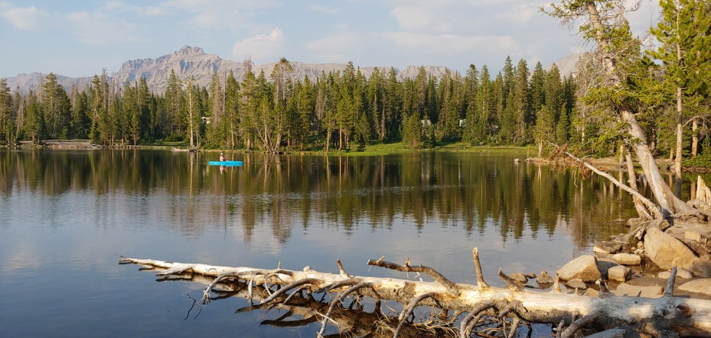
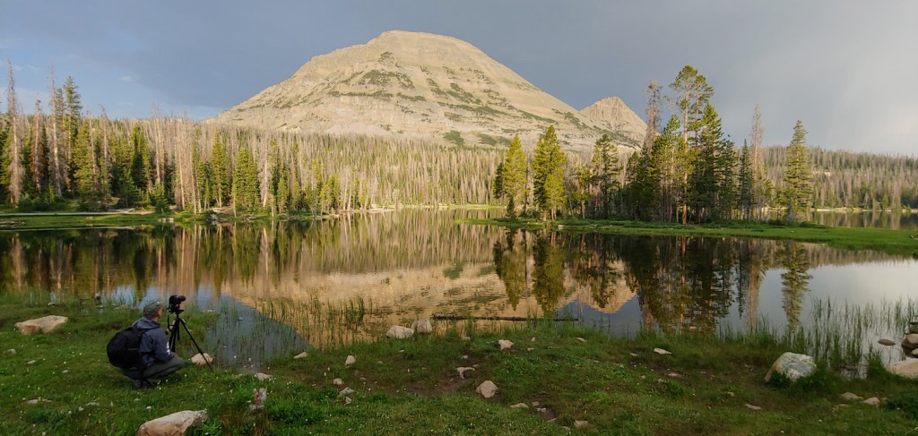
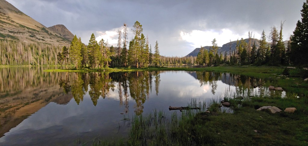
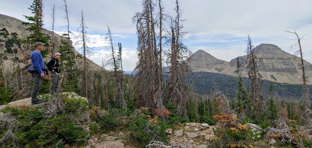
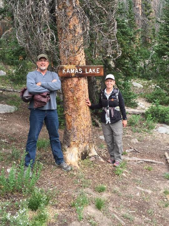
At the invitation of one of Joel’s photographer friends, we drove about two hours NE of our house to the Mirror Lake Campground. The campground is accessed from the Mirror Lake Scenic Byway through the High Uinta Wilderness. The Uinta Range is the highest in Utah, and is the only major range in the contiguous United States with an east-west orientation. Elevations range from 8,000 ft. in the lower canyons to 13, 528 ft. atop Kings Peak – the highest point in Utah, which Joel and I both climbed in 2009.
We were only there for an overnight visit but managed to get some early morning photography and hiking in before we journeyed home. Joel and Kevin took some sunrise shots while I hiked around the lake and then we all went up the road for a short hike to Kamas Lake. Although we were there less than 24 hours, it was sure nice to be in temperatures about 50 degrees cooler than our house!
Early bird gets the fish!Kevin photographing on the shores of the aptly named Mirror Lake.Initially we thought all the dead trees in the area were from forest fires – they are actually from the infestation of Rocky Mountain Pine/Bark Beetles.
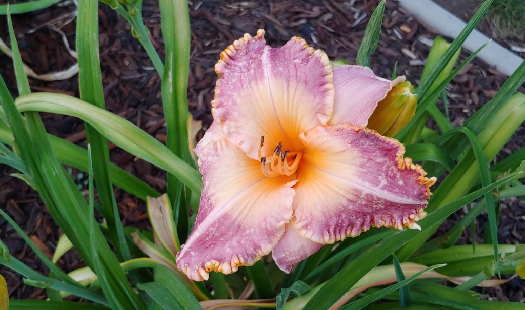
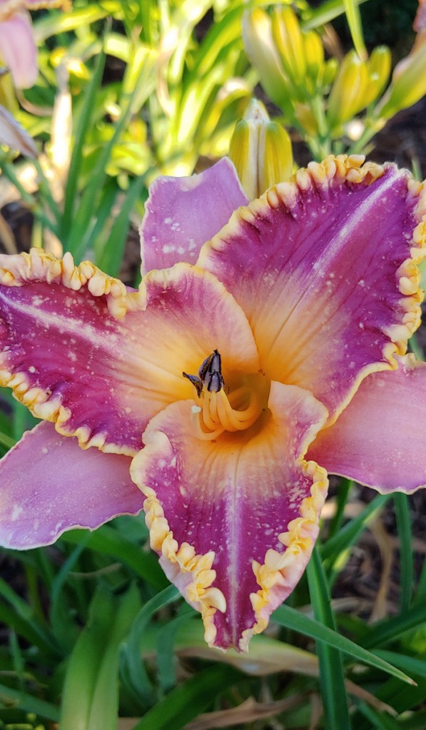
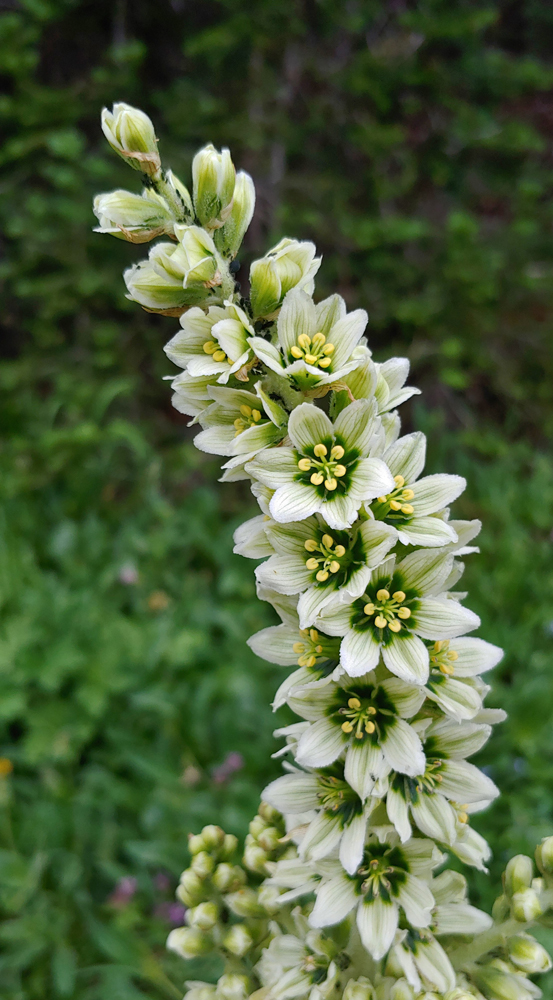
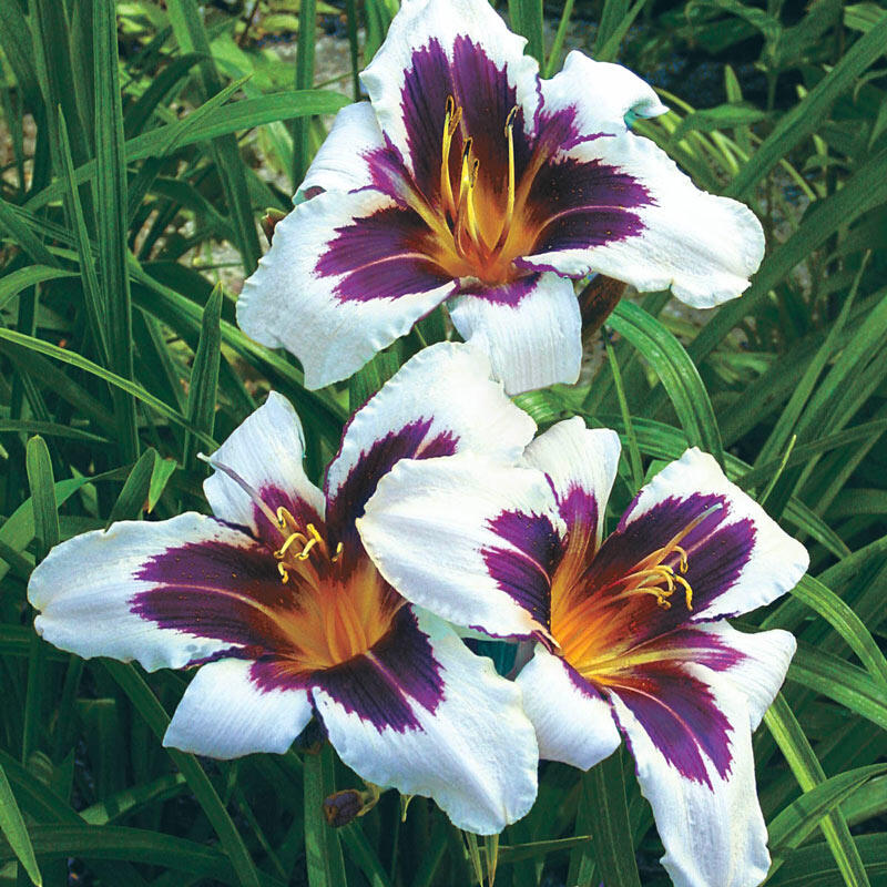
I bought a new daylily plant online a couple of years ago. It has now got a decent amount of blooms. It is called “Wild Horses” and I bought it based on this depiction in the catalog:
“Wild Horses” from the Breck’s catalog
I chose this variety because the contrasting colors were dramatic and I had no white daylillies in the yard.