Driskill Mountain is the Louisiana State Highpoint. Once again I was able to take advantage of a business trip in the area and detour to “tag” this peak. The hike is an 0.8 mile one way stroll through the woods on private property. The highpoint is a whopping 535 foot elevation and it ranks 48th in all states – only Florida and Delaware are lower! I didn’t have a lot of time to spend looking around, got stung on the neck by some flying creature when signing the guest register and it was 85 degrees with 95% humidity, so I took a few photos and was back on the road. Hopefully I will be able to spend a bit more time enjoying the scenery of our next scheduled highpoints – 2nd attempt at Humphrey’s Peak in AZ and Wheeler Peak in NM.
After a disastrous plane flight which turned into a long bus ride and a missed day of work, the auditing team was able to catch up on our Quality and Food Safety audit enough to get out of the Pikeville, KY, manufacturing facility about a 1/2 day early. It appeared that the KY state Highpoint was about 1 1/2 hour west of where I was staying in Pikeville, KY, so I left early Friday morning and drove out to Black Mountain. Black Mountain sits on the border of KY and VA and required a drive much longer than 1 1/2 hours that MapQuest estimated as the roads were foggy and icy. I made it to the cutoff road, traveled about 1.5 miles down another icy side road, smacked the bottom of the rental car a couple times on the frozen ruts, parked the car and walked the 0.1 mile to the marker plaque and summit marker. Glad I brought my hiking boots along for the strenuous hike to the 4,139′ summit- HAHA! The marker sits next to a bunch of antennas and is close to an active mining road. One has to get permission ahead of time to be on the property and carry a waiver – I guess that is for if you get run over by a coal truck en route! Due to the fog and trees you couldn’t see anything from the top – pretty boring and uneventful. That makes State Highpoint #9.
The area that I was in (Pike County and the city of Pikeville, KY) is famous for several reasons; namely the fact that it was the location of a majority of the feuding between the Hatfields and the McCoys and is also the site of the Pikeville Cut-Through project which was the second largest earth removal project in U.S. history.
The feud was formally over in 2003 when both families signed a truce but the area is still capitalizing on the feud via tours, museums, re-enactments, and various festivals and events. When I was at the manufacturing facility I saw several rosters that contained the last names Hatfield and McCoy. I asked the QA Manager about it and he said it was all completely overblown and sensationalized.
The Pikeville Cut-Through Project was started in 1973 to relieve the flooding that happened in the City of Pikeville every year. The project was completed in 4 phases spanning 14 years and cost $80 million dollars. A total of 18 million cubic yards of dirt were removed and dumped into the riverbed of the Levisa Fork of the Big Sandy River, creating 400 acres of usable land for the city.
Hillsides that were “weeping” water along the route – part of this is due to the condensation inside the mines that are everywhere.The summit road is on the border between KY and VAPanic set in as the summit marker was covered in show and I had to sweep off a giant boulder to find it!Summit plaque.Part of the Pikeville Cut-Through Project
Joel had done a lot of planning to put together a trip where we could catch multiple highpoints over vacation time I had the week of Memorial Day. Of course neither of us dreamed that the storms that kept moving through the Midwest would continue for weeks and potentially interfere with our planned agenda for the Kansas, Oklahoma and Texas highpoints.
Luckily, we ended up traveling about 2 days after each if the states had experienced massive amounts of rainfall. As we moved through Utah and Wyoming, our first problem arose. It seems that Joel is now on the Super 8 Most Wanted list (in addition to the Best Western chain.) After a quick exit of the hotel the next morning, we drove to Kansas. The highest natural point in Kansas is Mt. Sunflower at 4, 039′, a short distance from the KS/CO border. Once we got over the border of Colorado at Kanorado, KS, (aptly named …) we headed due south for about 20 miles on what we thought was a dirt road. Joel called it “gumbo” but it was more like glue … it seems that the area had gotten 2″ – 3″ of rain the day before and even with the trusty Jeep, we just about ended up into the ditch twice.
There is a nice display at the “summit” but, as you can tell from the photos, it is a “drive-up.” After spending some time at the highpoint, we drove to the next town and spent about $15 in quarters trying to blast the mud off the car. It was virtually impossible to drive and brake as everything was so gummed up… Once the truck was relatively clean, we headed down to OK and camped in the Black Mesa State Park in preparation for our hike up Black Mesa the next day.
Enjoy the quick video of Joel’s exhausting summit push … and notice in the photos that I am breaking in my new cowboy boots in preparation for the Bar W Dude Ranch in August.
Joel is banned from another motel chain …It took about $15.00 in quarters to remove the mud so that we could drive safely.
Probably the easiest State Highpoint to find so far but the most decorated and elaborate is the Iowa State Highpoint just a few miles south of the MN border near Sibley, IA. The elevation is 1670′ and another drive-up. The site where the high point sits is a farm donated by the Sterler family, who worked this land for many decades, to Osceola County with the stipulation that the land be turned into a park. Osceola County, through its Economic Development Commission and Hawkeye Point Committee, has removed a few structures that were deemed to be hazardous to public safety including the old hog feed bunker at the highpoint site and a few small barns. They have erected an informational kiosk which highlights the family and the county and features a display of signs showing the mileage to all the other state highpoints. There is also a new campground that sits adjacent to the property where the Highpointers Club will have their 2015 convention.
Hoosier Hill – Indiana State HighpointMy arms aren’t long enough to take “selfies” plus I think they are stupid, anyways …
Taking advantage of being in the general proximity during a week in Battle Creek, MI, I “conquered” the Indiana State Highpoint (Hoosier Hill.) Nary a blip on the heart rate monitor was registered as I scrambled 10 feet from the car to the marker. Upcoming Mt Hood, Mt Humphrey’s, Wheeler Peak, Gannet and Granite will make up for it though!
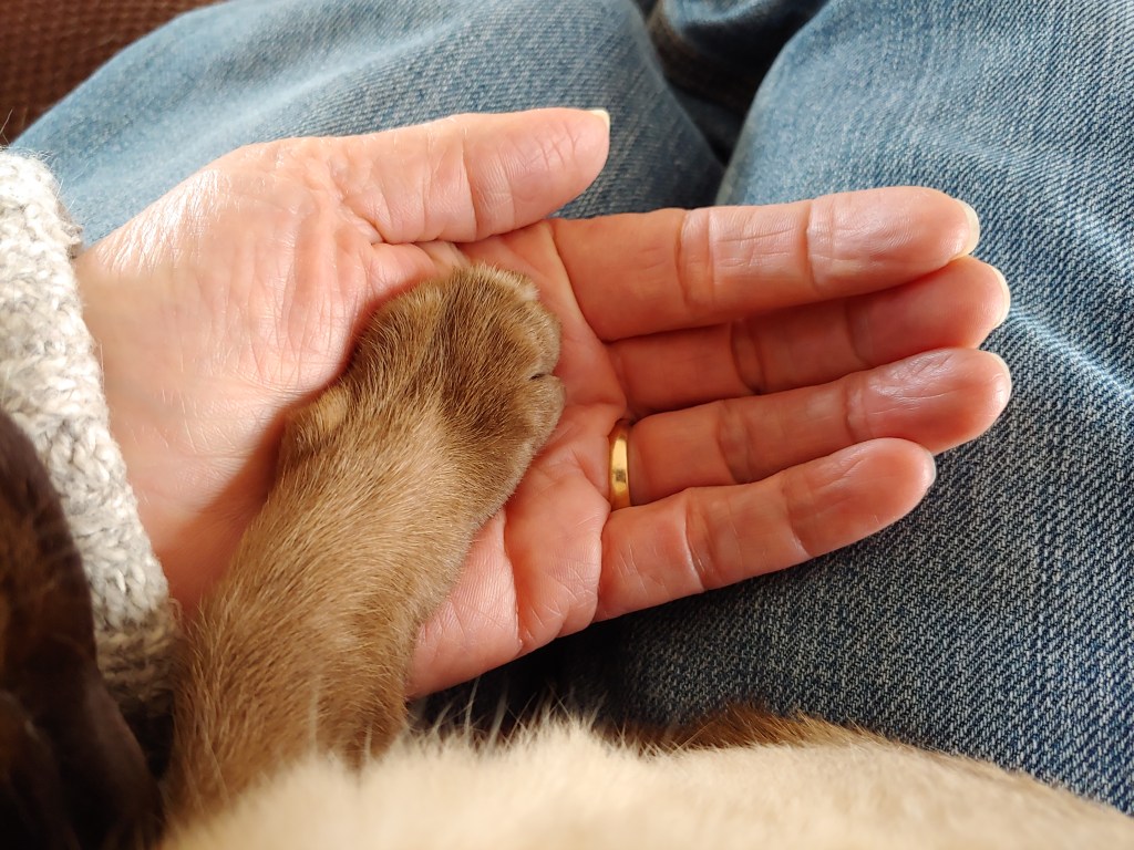
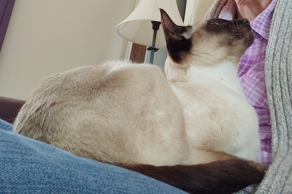
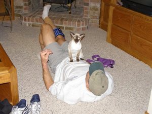
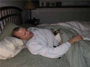
I had hoped not to update our blog with this story until after all the Highpoints were re-posted as it is not a happy one … We lost Spock on Thursday to a rather lengthy battle with kidney disease.
I copied our original post at the very bottom as it shows photos of when I first brought him home.
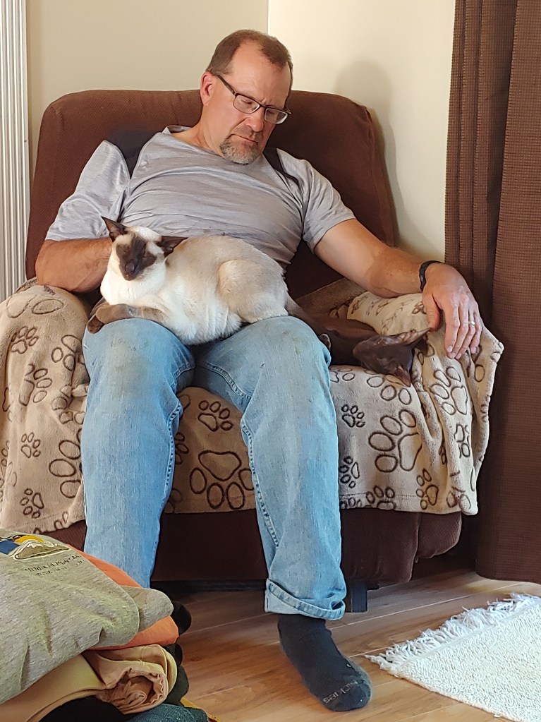
At the time Joel declared, “That is the ugliest thing I have ever seen!” His opinion did eventually change over the 10 years Spock was with us as he recently said, “Spock is the greatest cat ever.”
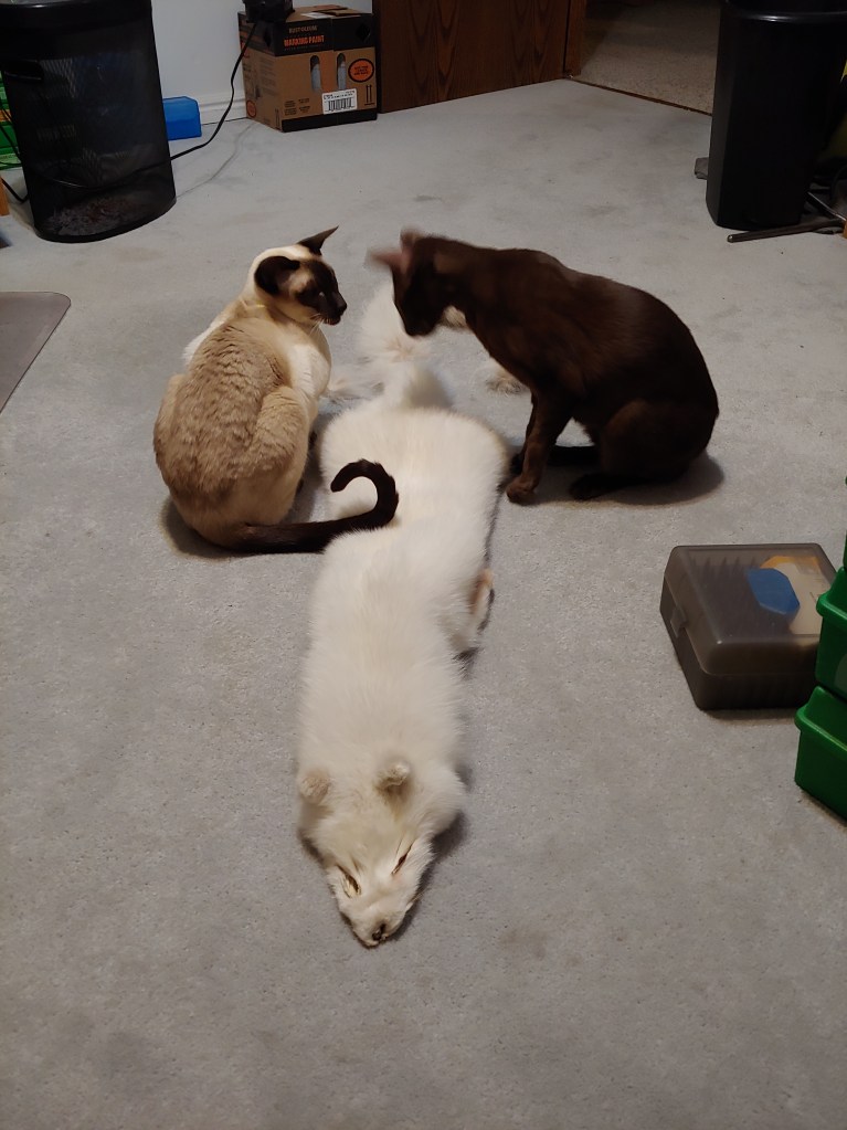
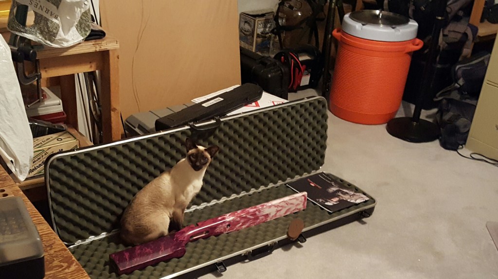
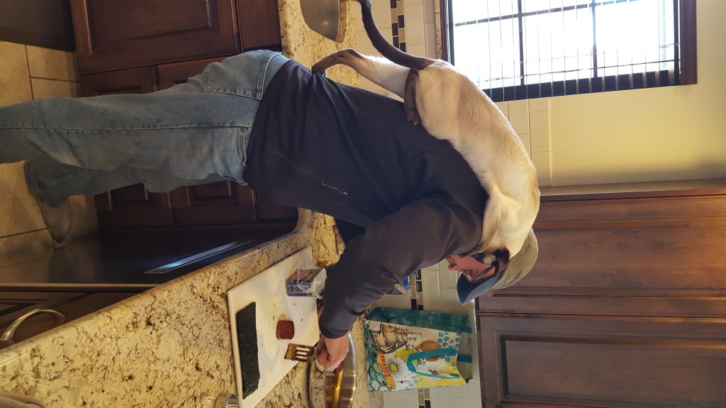
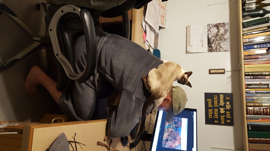
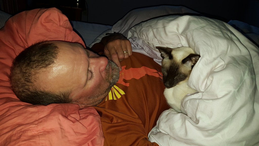
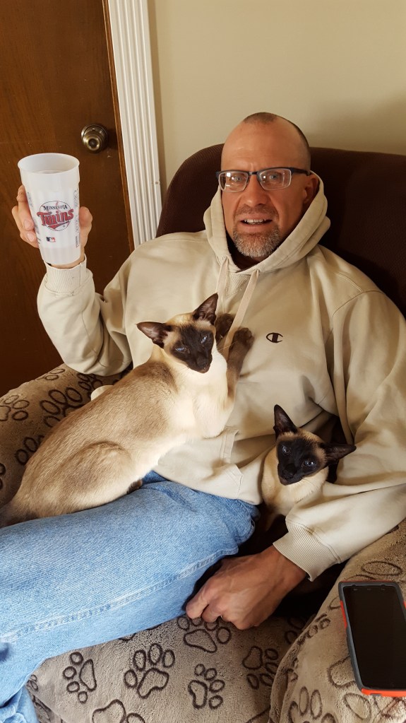
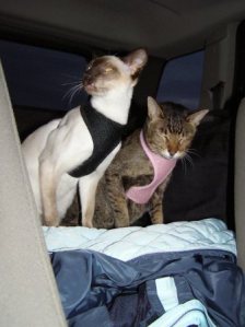
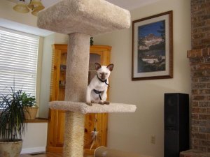
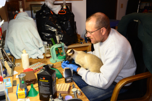
Second favorite place – on the furnace vent.“Help, get me out of this bucket!”A little nap in the sun with Dad and Bruno.“Hey Bruno, I had nothing to do with this …”Always helpful.Spock considered SPAM as meat and tried to get a handout. Note that we only tried SPAM once! Yuck.Helping Dad on the computer.Remember the time Mom let me out on the back deck and I got stung by a wasp and my foot puffed up like a golf ball?Siamese twins?Always up for a game of fetch.Spock on a walk.One small piece of Smith’s rotisserie chicken is all I ask.
OLYMPUS DIGITAL CAMERA
Spock Arrives – July 2009 – Original Post
Much to Zippy’s dismay, we went ahead and brought our new kitten home today. Appropriately named Spock due to his lage ears, he soon had multiple other nicknames – Spazz, Dart and Fart were a few of the most popular. He spent a couple days getting used to the house and getting used to the old, cranky cat that already lived at 3384 N 575 E. We hope that they will eventually get along but the most we have right now is a barely tolerant relationship. As soon as Zippy sees him she takes off running to her bedroom. Of course he followed, ate her food and promptly got the runs. Not to be outdone, Zippy snuck a few bites of his kitten food and spent the next few days in gastrointestinal distress … HMMM I though cats just ate mice and birds?
Spock tried to get close to Zippy but she didn’t want him near her.
The last State Highpoint to visit during this trip was actually the one that we had to plan the entire trip around. Charles Mound (elev. 1235′) is located on private property and they only allow access 4 weekends a year (supposedly …) The closest town in IL was Galena, IL, but as this is a huge tourist mecca with associated price gouging, we opted to stay about 20 miles north in Plattsville, WI. A refurbished Super 8 with a Mexican restaurant next door that has $0.99 Margaritas, what more could one ask for?
As we had managed to hit two highpoints in one day at the beginning to the trip, we were a day ahead of schedule when we arrived in IL. En route we made an “out of the blue” call to Joel’s Aunt and one of his Cousins in WI and managed to meet them for lunch as we flew through the area.
The next day we were able to amuse ourselves in Galena and do significant financial damage in short order … Good thing we didn’t get there 2 days early! Probably the most fascinating shop we visited was the one that sold what seemed to be every hot pepper sauce known to man. Pretty overwhelming, actually … Once we shopped until we dropped, we decided to take the river walk down to the Mississippi. A mere 12 miles, we only lasted for about 6. Again, the BUGS and HUMIDITY were oppressive. No Thank You. Definitely another area to visit in the fall!
The hike the next morning up Charles Mound was uneventful. You park at the end of the lane and it is about a 3 mile roundtrip stroll up to the top. It was a little overcast so we really couldn’t see much but the lush green rolling hills and trees were beautiful. On the way down we met several other “Highpointers” including a man that had driven up from TN and a couple that had driven up from NM. See, we are not the only crazies …
Lunch with Joel’s Cousin and Aunt in WI on the way to the IL State Highpoint.Hey Joel, mind if I have some of your sweet potato fries?Double-fisted shopper extraordinaire.At the Ulysses S Grant park in Galena, IL.Ill fated trip through the gnat forest.Flood gates built around the town center of Galena, IL, in 1951.Oldest house in Galena.Signage at the gate to Charles Mound.Get off me bug!
A little confusion over the name – the locals call it Mt. Borah but in most reference books it is referred to as Borah Peak. Nevertheless, we took advantage of a week’s leisurely drive to MN for a wedding and stopped to climb two state highpoints along the way. The first was Mt. Borah in Idaho. This is a 12,668ft peak described as the “Crown Jewel of the Lost River Range.”
We arrived early to stake out a campsite at the trailhead as there are only four sites. Of course, the couple with the screaming baby pulled in shortly after us and chose the site right next to us. Whatever we thought of them surely paled with what they must have thought about us … Moron most likely, as we tried to rig the tent up to some trees with trekking poles because neither of us remembered to bring the tent poles… I ended up sleeping in the makeshift tent while Joel took the backseat of the car – not off to a good start!
The part of the hike that we sort of minimized during our initial fact gathering was how steep it was. One guide book described it as steep, steeper and then “brutally steep” once you got out of timberline. The trail gained 5262 feet of elevation in 3.5 miles. The guidebooks noted that the normal up and down was 10 – 11 hours. We scoffed at that as we started up the trail but soon I wasn’t laughing – this was probably one of the steepest trails I have been on in a long time!
Joel flew up the trail and only slowed down to take photos, as usual. About an hour up the trail we met a man coming down who was unsure of the actual route over the aptly named “Chicken Out Ridge” and turned around. At that point I was sort of worried because he looked like a pretty savvy hiker. “Chicken Out Ridge” is touted as 200 yards of sheer drop-offs on either side and extreme exposure, but we either took the wrong route over it or it was highly sensationalized. After a quick lunch on the summit we made our way down and drove to Salmon, ID for dinner.
Mt. Borah on the leftWho forgot the tent poles?Nice sunset and colors due to all the wildfires in the region.Joel’s “tent.”On the trail by 7:00amJoel up in front taking the photo – if you look close you can see my red jacket way back down the trail.“Chicken Out Ridge”Crossing the saddle – typically this is sort of a tricky crossing as it is usually full of snow – one of the benefits to climbing in late August!First to the top!Signing the summit registerLooking down the trailWe stayed in the “Bear and Cub” themed room here – cute decorations!The Owl Club in Salmon, ID. If you look close you can see that the poor owl is peppered with arrows …
Yes, it finally happened … Joel and I reached the summit of Mauna Kea for my 50th State Highpoint and his 26th. We actually reached it 2 times, just to be sure!!
We were originally scheduled to visit the Subaru telescope on 4/13/17. The tour ended up being cancelled but Joel and I decided to head up to the summit since we had already rented the 4X4 to get up the summit road. Once we parked it was a quick walk down a short slope, across the saddle and up to the summit.
WooHoo! Summit of Mauna Kea – 13,796′!Yes – a tad bit windy!
The second time that we reached the summit, we reached it by fair means – we hiked up the 4,600′ from the Visitor Center. I didn’t want my last State Highpoint to be a “Drive-Up!” We were a tad optimistic as most guidebooks and documentation states that you should count on an 8 – 10 hour roundtrip … we took 7.5 hours. It was actually a much more challenging hike that either of us imagined – dry, dusty, and steep for most of the trail then add in the overall altitude gain of 4,500′ in 6ish miles.
An interesting note on the terrain which was like nothing we had seen before, Apollo missions 13 through 17 trained in Hawaii, including on Mauna Kea. Today, robots are tested on the Big Island for moon and Mars missions.
Beautiful bluebird day.One more mile to go – last section was on the paved road.Summit penitentesHappy Summit TeamLake Wai’au – 3rd Highest lake in the US. A sacred place to the Native Hawaiians, to ensure that their babies had the strength of the mountain, umbilical cords were placed in the lake. Didn’t touch that water …Clouds and wind started up as we were descending.“Hey, we were there!”
Once we got home, I reported the completion of the 50 US Highpoints to the Highpointer’s Club and here was their response … #26!
“WOW . . . that is great news. According to our tracking you are the 26th female to accomplish this goal. Puts you in an incredibly exclusive group. And thanks for the status report on a newsletter article. John Mitchler loves to see those as it makes his job as newsletter editor much easier. Plus, that is what all of the members want to read about. So, a very hearty congratulations. I know that words cannot express the feeling of accomplishment that you now have. And I know you are on to further endeavors . . . like getting 24 more highpoints for Joel . . . so . . . Keep Klimbin’“
** Note that I ended up being Female #27 (not #26 as noted above) after being bumped by Melissa Arnot (Reid) when she decided several months later to actually submit her paperwork!
Since the previous day’s highpoint was a drive-up, I found an option for the Georgia highpoint to actually do some hiking and get outside for a couple hours. To reach the Georgia Highpoint – Brasstown Bald at 4784′, I took the Jack’s Knob Trail which is about a 5.8 mile round trip hike. I didn’t know that once I got to the parking lot at the end of the trail that there was a huge crowd gathered. The Sunday before Christmas they hold the “Brasstown Bald Buster 5K” which is purported to be the toughest 5K in Georgia. Damn, if I would have stayed on the road and walked up to the parking lot I could have gotten a T-Shirt!
Once at the parking lot there is a 0.6 mile trail to the tower at the top of Brasstown Bald. Unfortunately, due to icy conditions, the tower was closed and you could only walk around the observation deck. As the top was totally fogged in, there wasn’t anything to see anyways. This fog and drizzle seems to be a theme in the South and East in the winter – might try to hit the remaining highpoints in the spring or summer when there is a view.
Along the way I did see several interesting signs. I am not good like Joel (who can snap pictures while he is driving) so I didn’t get all of them but most noteworthy were:
A professionally printed sign at a Christmas tree lot that read, “Balsam Fur Trees.”
A sign for the Booger Hollow Convenience Store – boy if I had a choice I’d PICK that one
Gas for $2.07 …. wow, wish it was that cheap in Utah!
Trailhead signs with a lot of warnings for bears in the area.Trail from the parking lot to the top of Brasstown Bald.Pretty much the same view to the North, South and West!Trail is marked with blue blazes which were starting to disappear due to a lot of moss on the trees.Scat from ? Luckily I didn’t meet whoever produced this!Booger Hollow Convenience Store