Backpacking in the Beartooths

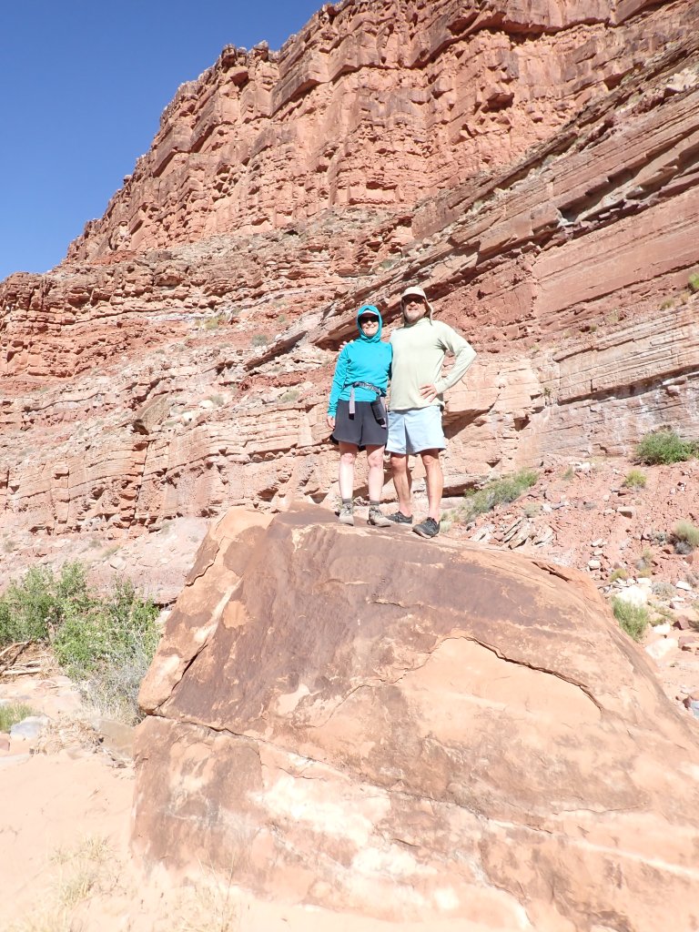
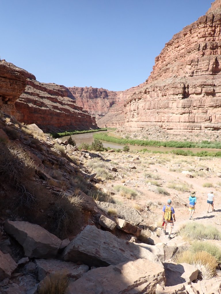
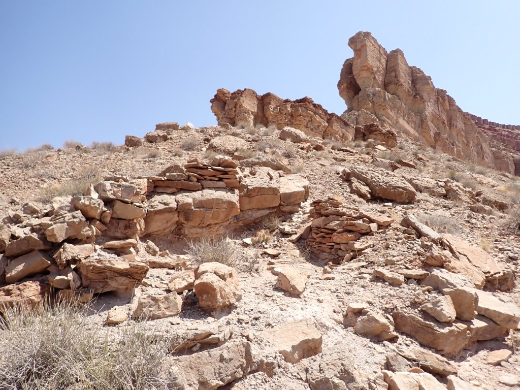
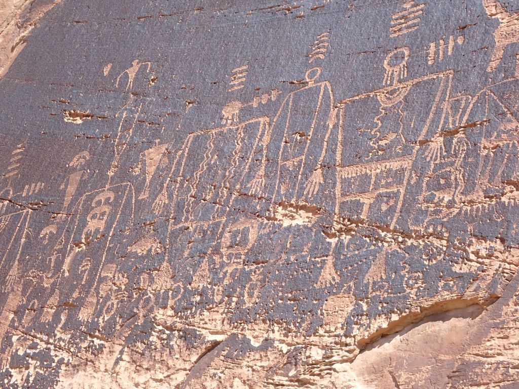
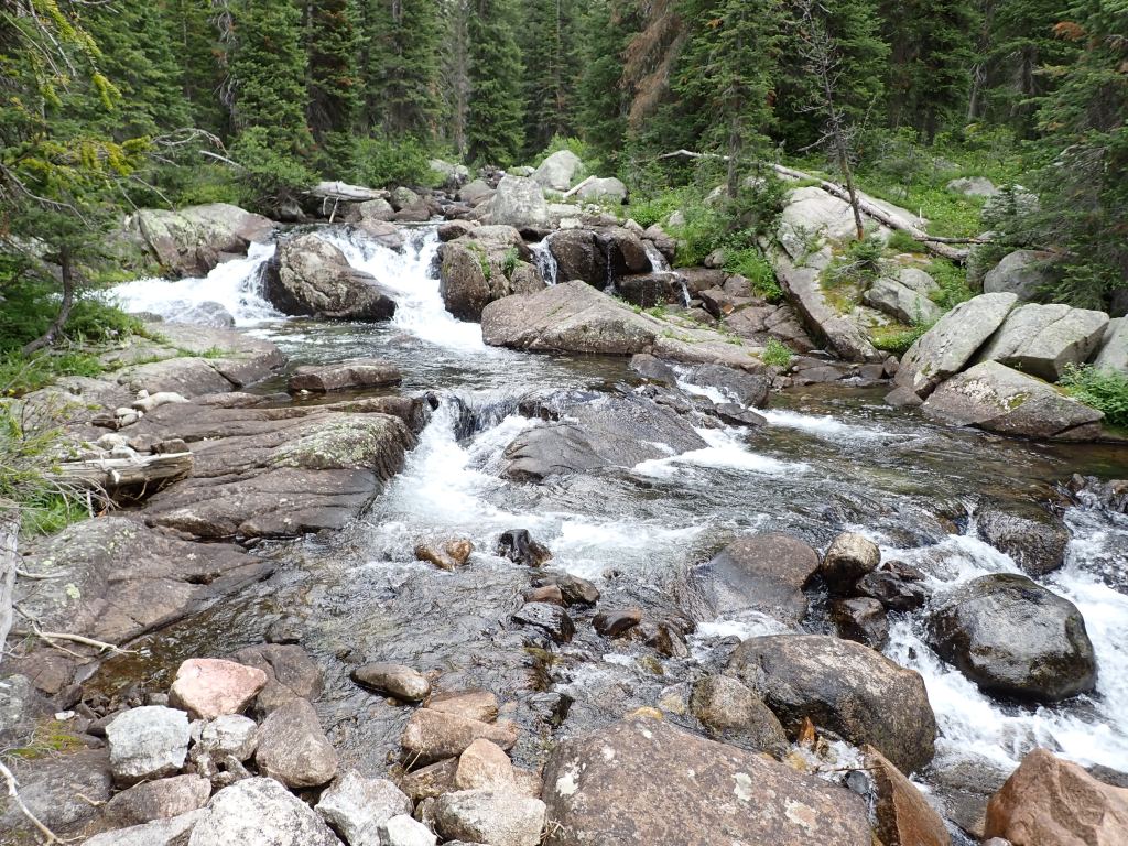
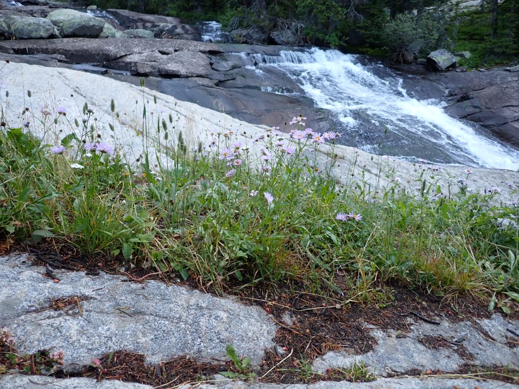
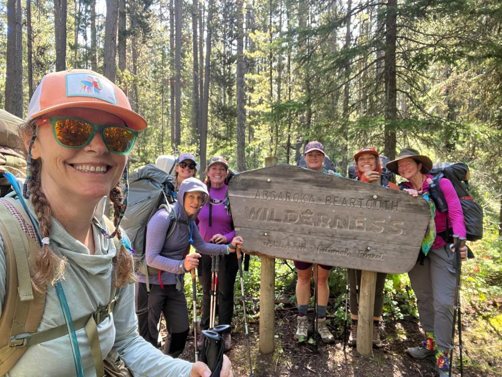
For most of the recreation opportunities Joel and I have had this year, flexibility has been the key. As I headed out backpacking a couple weeks ago with the Women’s Wine Hiking Society, that held true, as well. We had planned on doing The Beaten Path – described as; “The Beaten Path is a 26 mile thru-hike in the beautiful Beartooth-Absoraka Wilderness. Capping out at ~10,000ft elevation, the trail passes towering granite cliffs, sparkling alpine lakes, crashing cascades, and lush flower-filled meadows through some of the tallest mountains in Montana.”

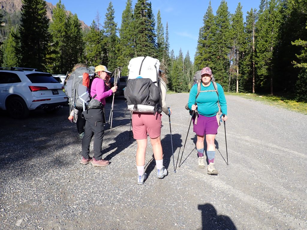
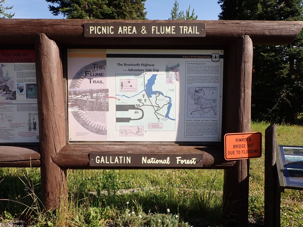
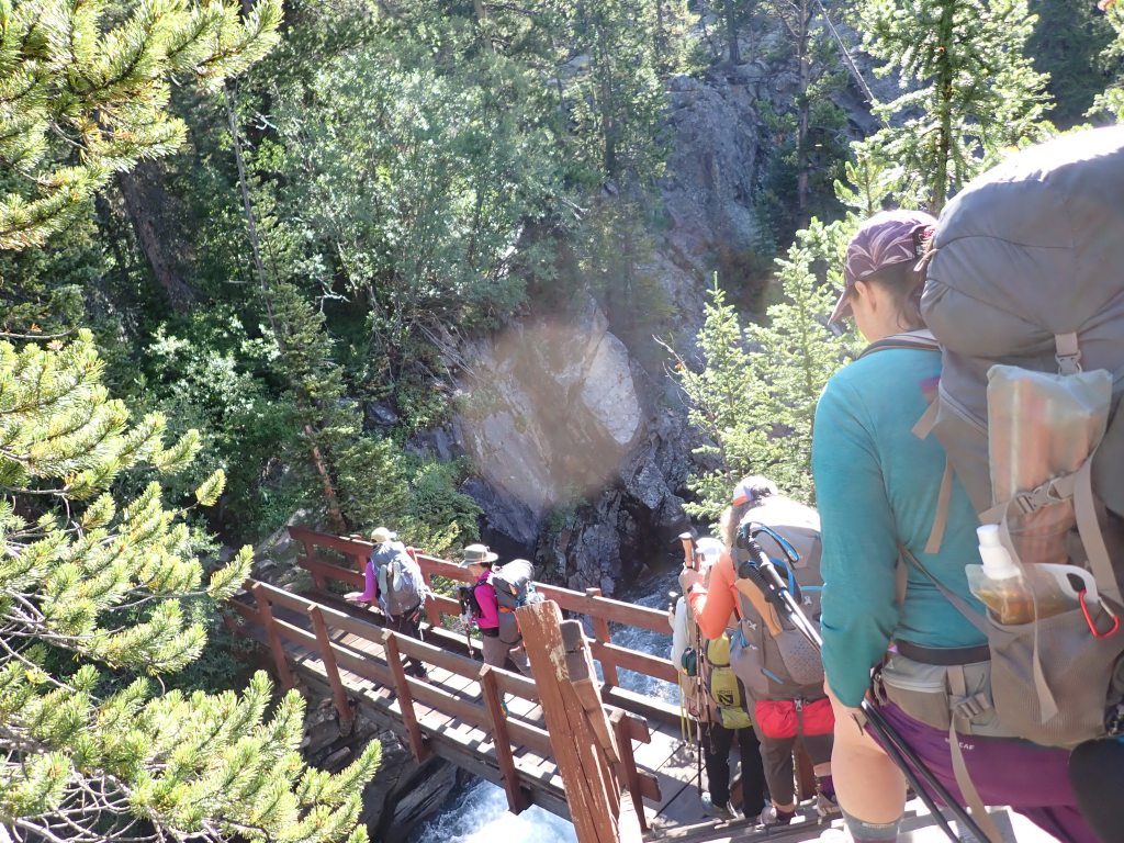
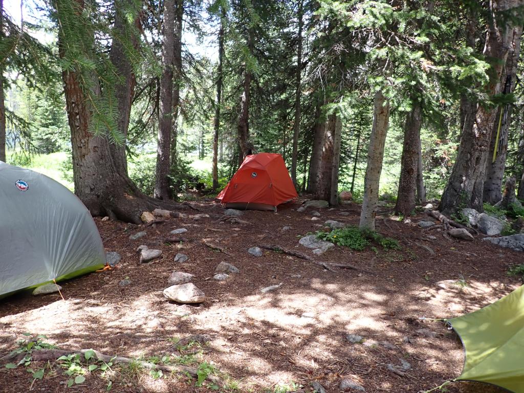
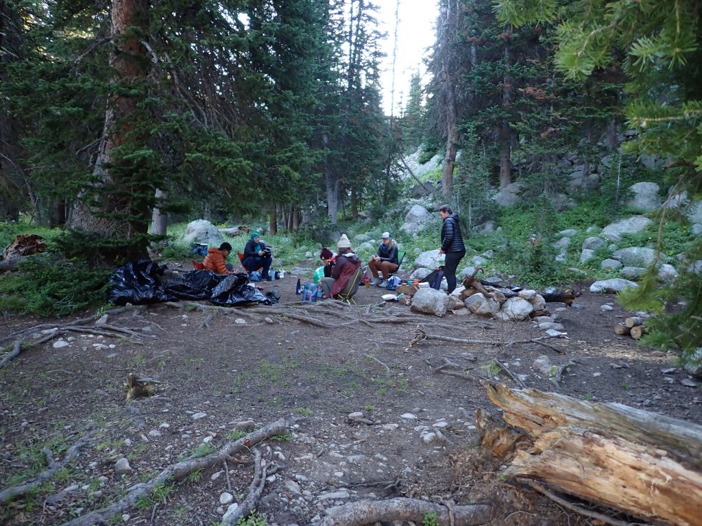
Nope – not this year … due to heavy snowpack and damage from melt out, one of the main bridges was washed out a couple of years ago. Several unfortunate drownings have happened as folks tried to make their own way across the river so that was not an option for us. We left on the same trail but set up camp and then did day hiking from our camp, then went back to the same trailhead, instead of a point to point thru-hike.

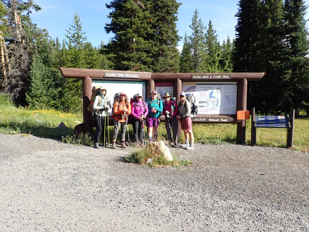
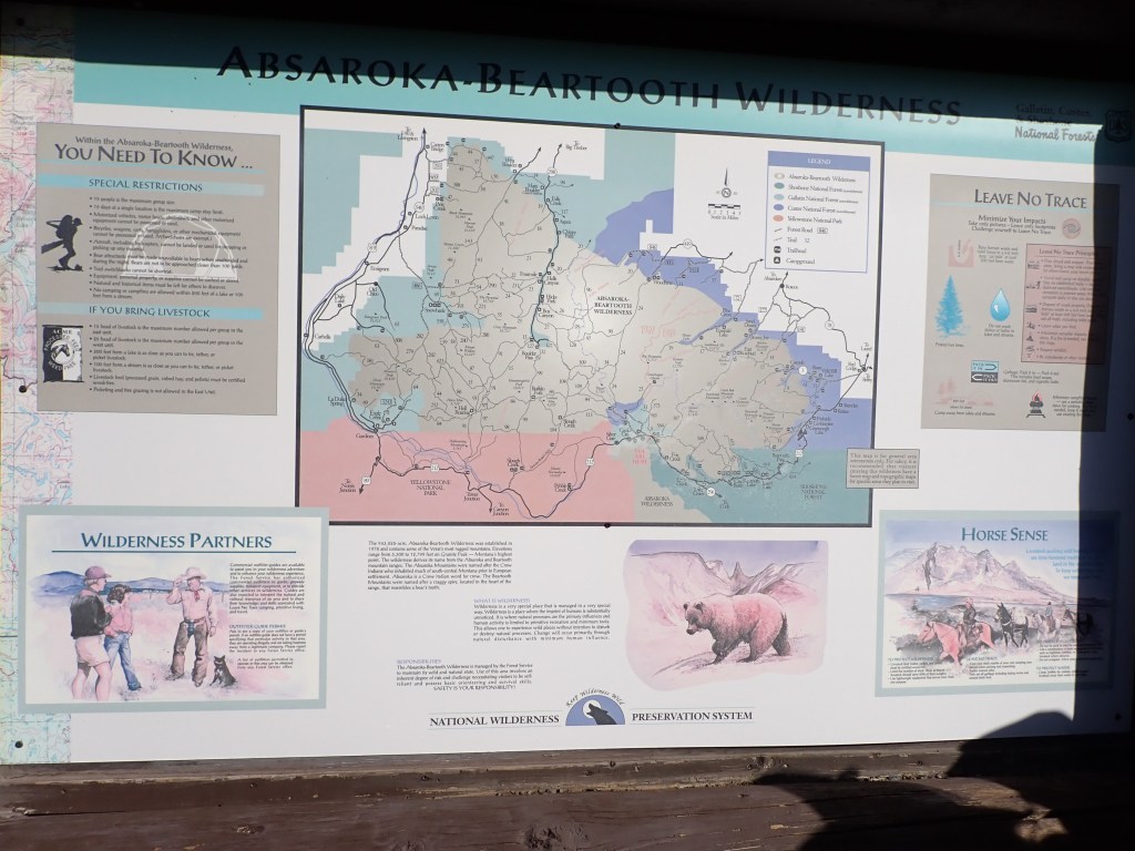
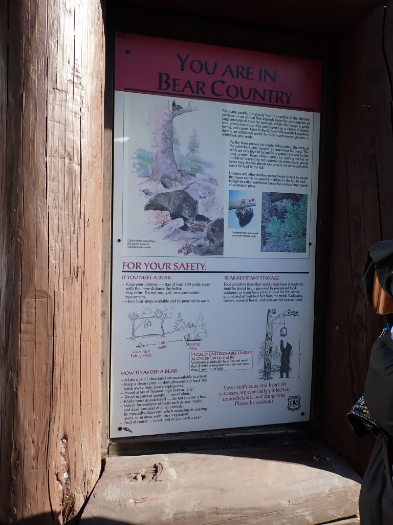
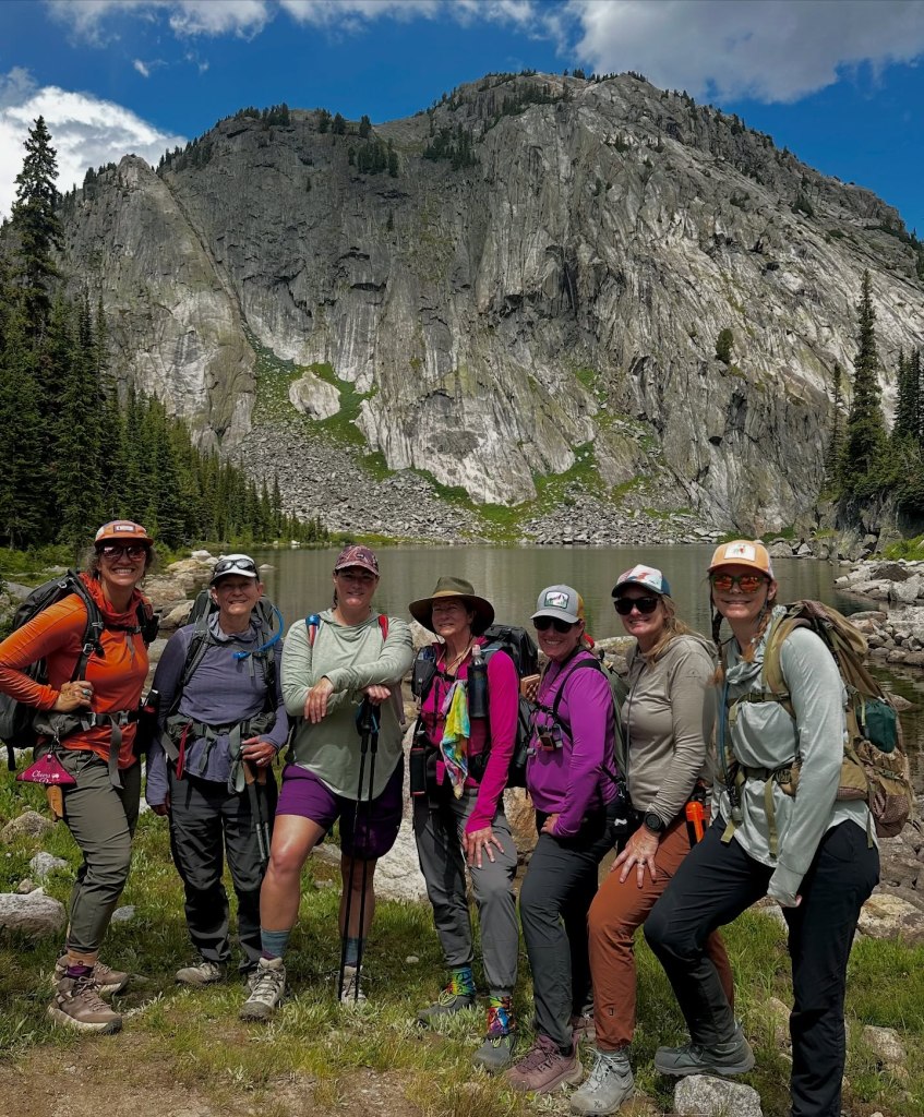
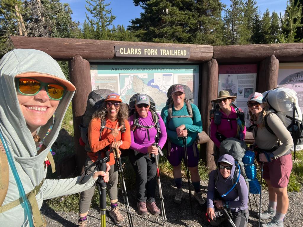
Our group carpooled up from UT and stayed the night in Cooke City, MT. We then headed to the Clark Fork trailhead where we read all the notices reinforcing that we were heading into grizzly country. We all had bear canisters for our food, bear spray and had the opportunity to ask a Yellowstone wildlife biologist questions beforehand on proper cooking and camping.

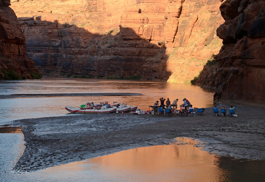
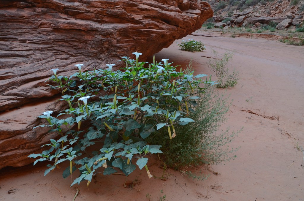
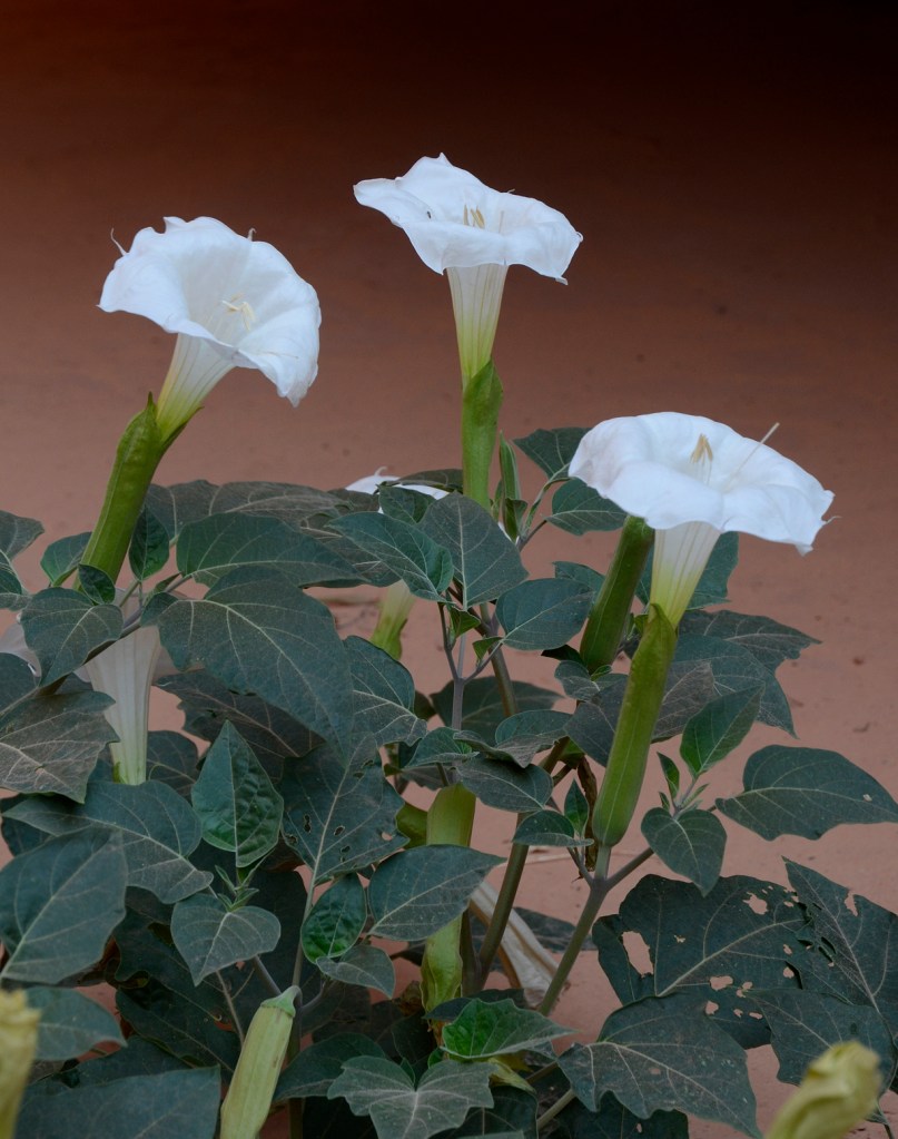
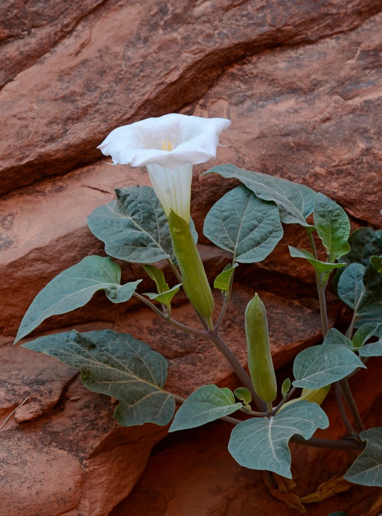
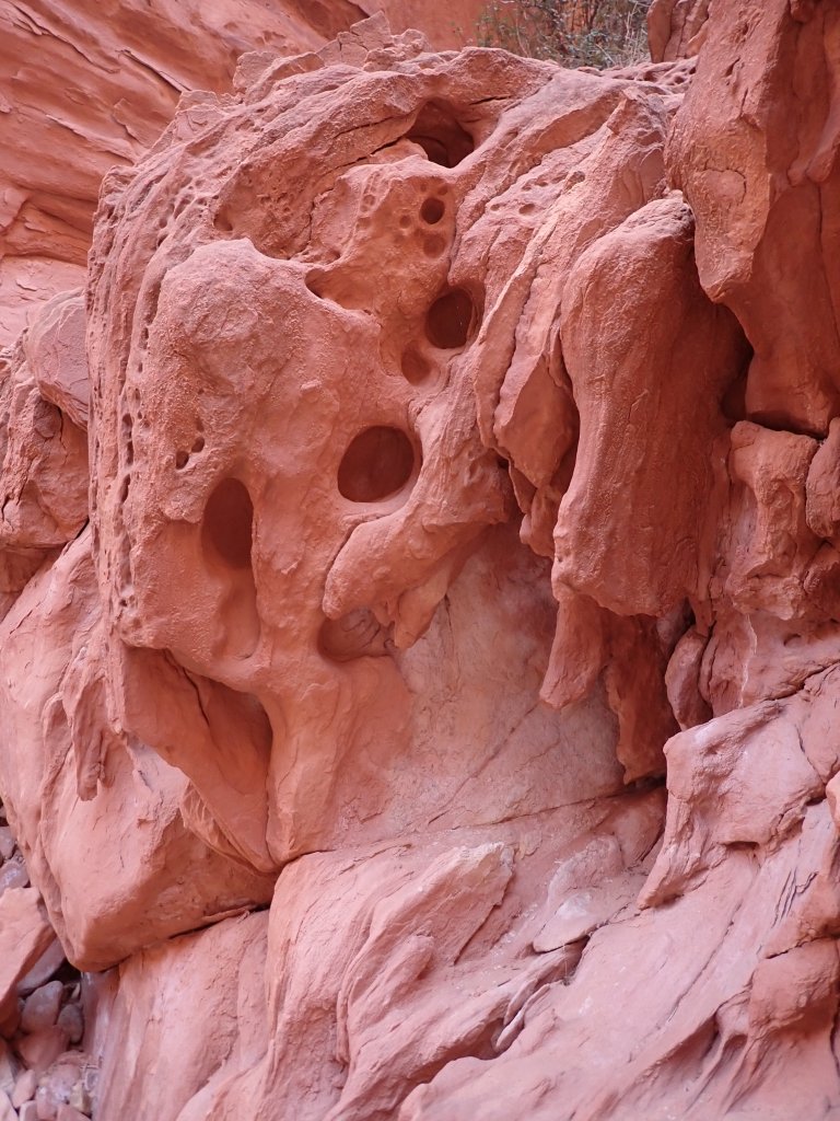
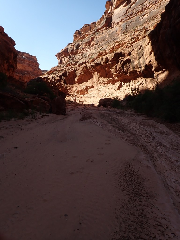
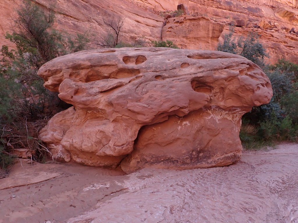
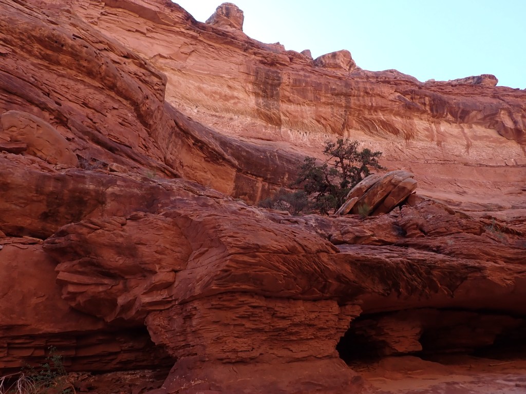
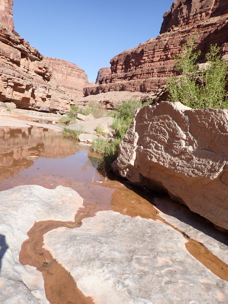
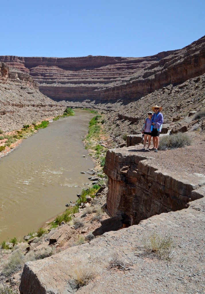
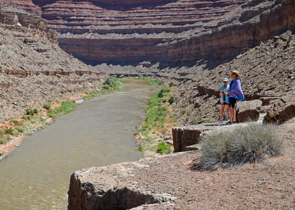
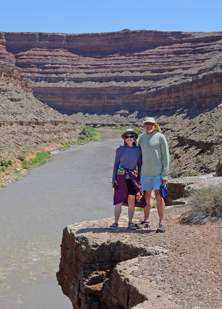
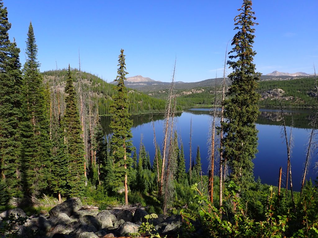
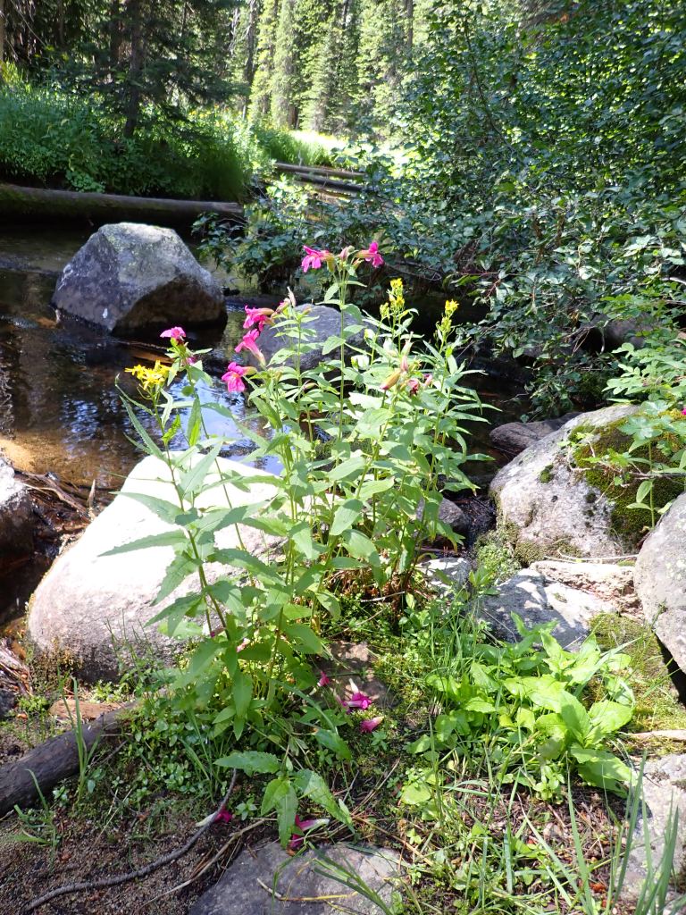
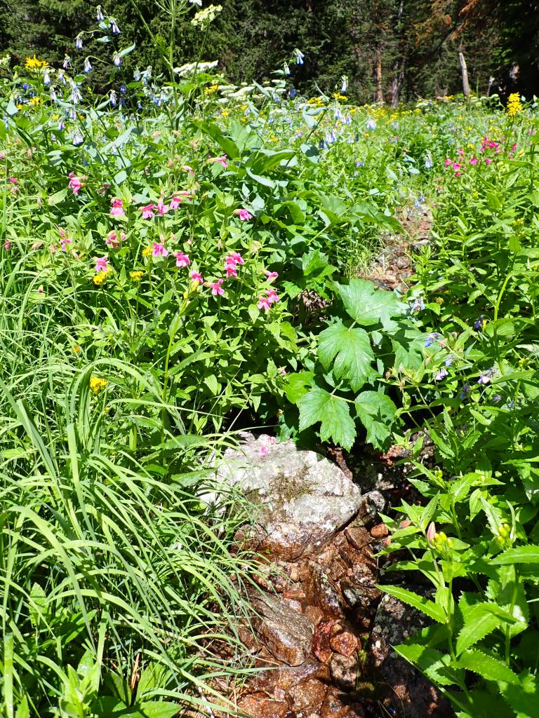
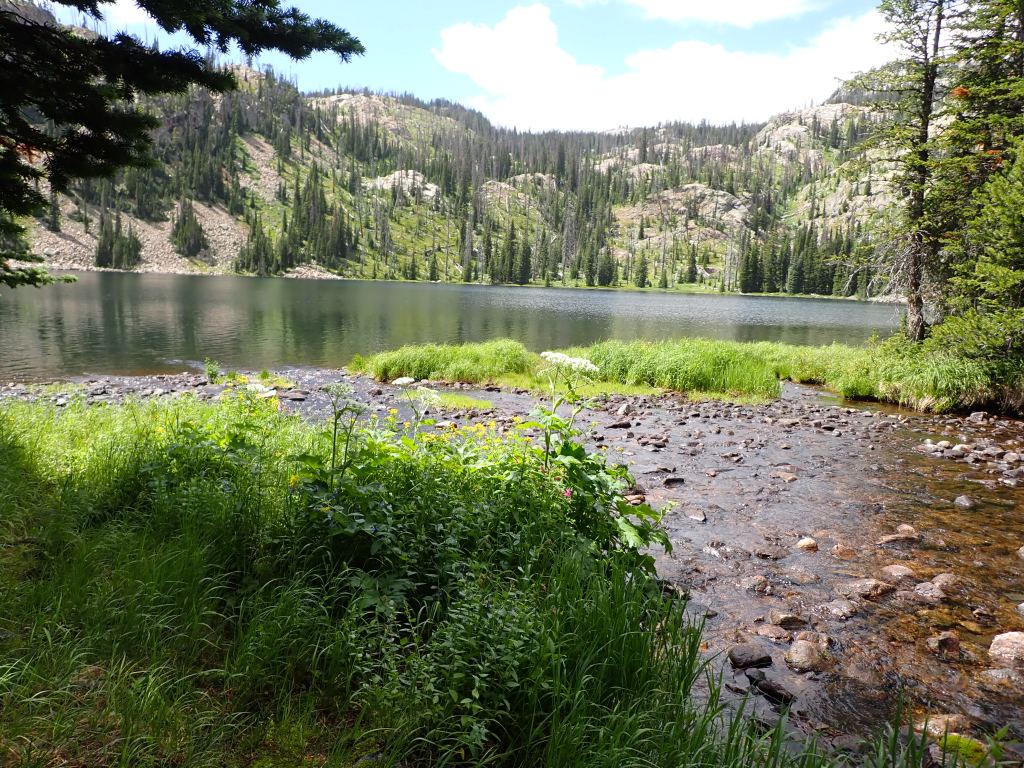
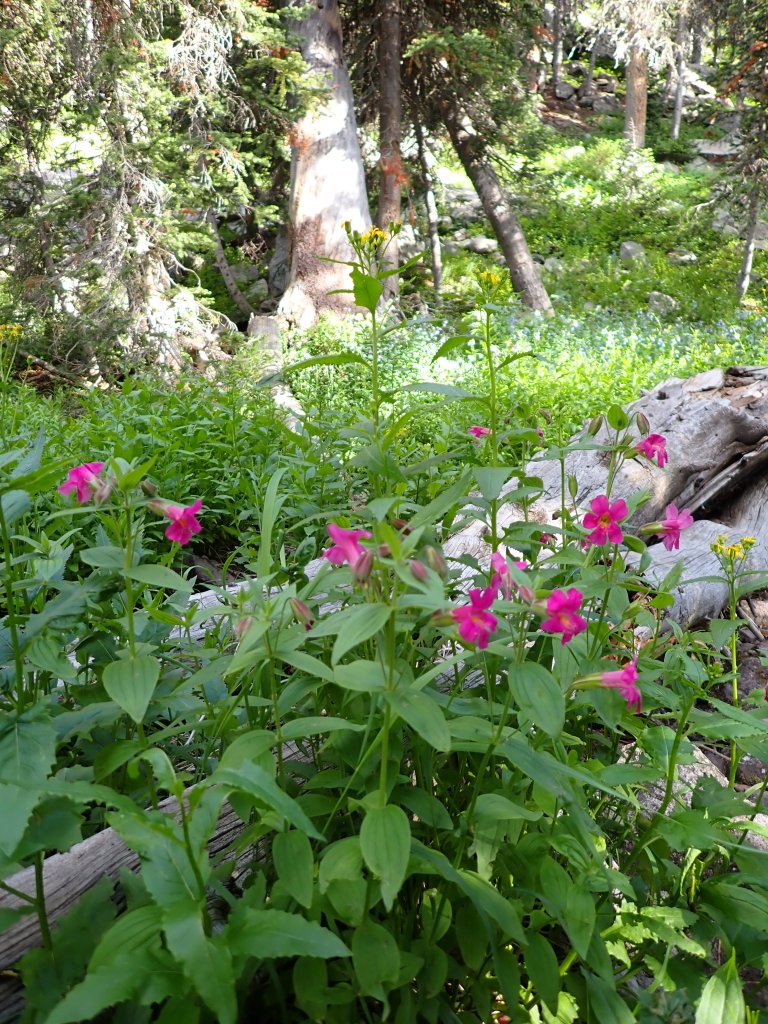
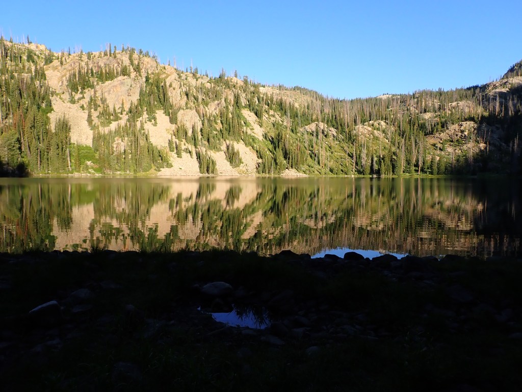
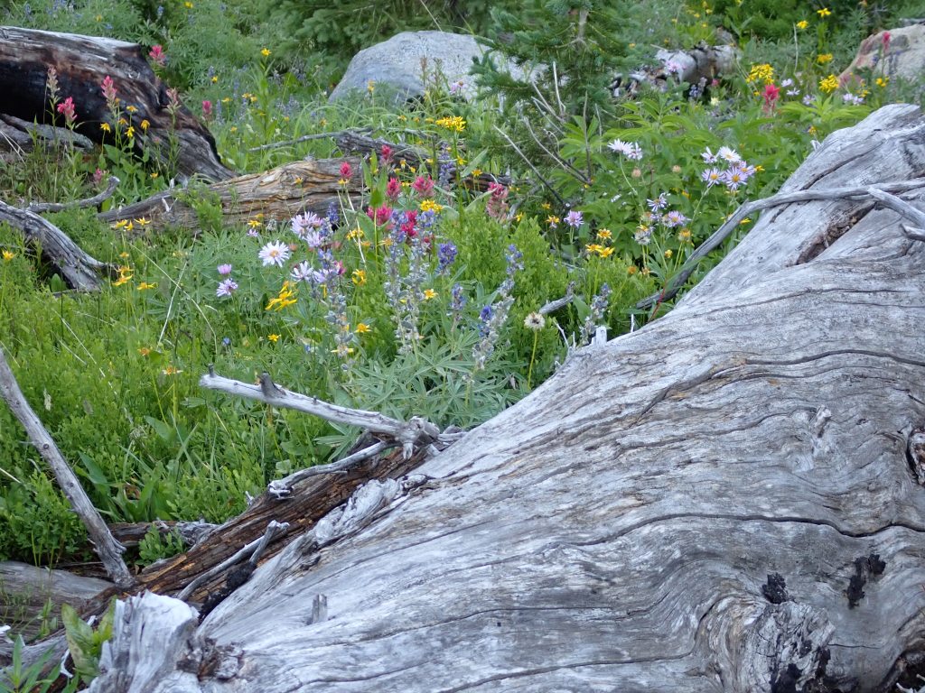
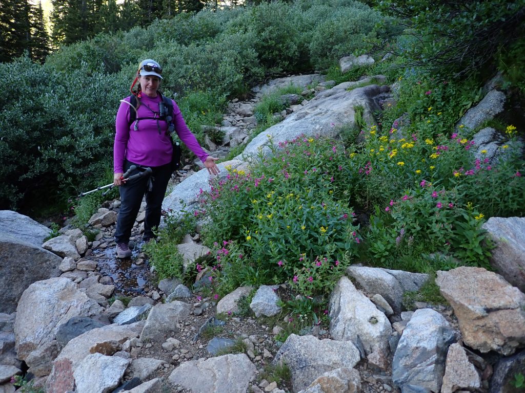
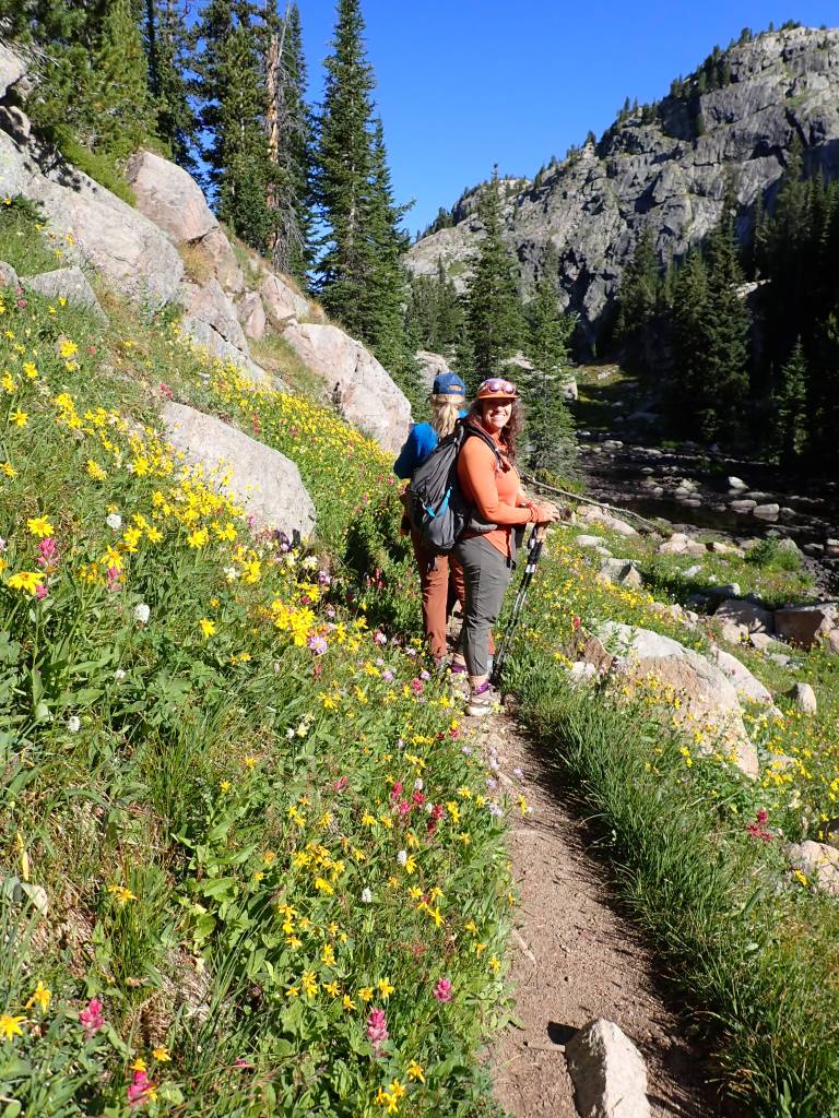
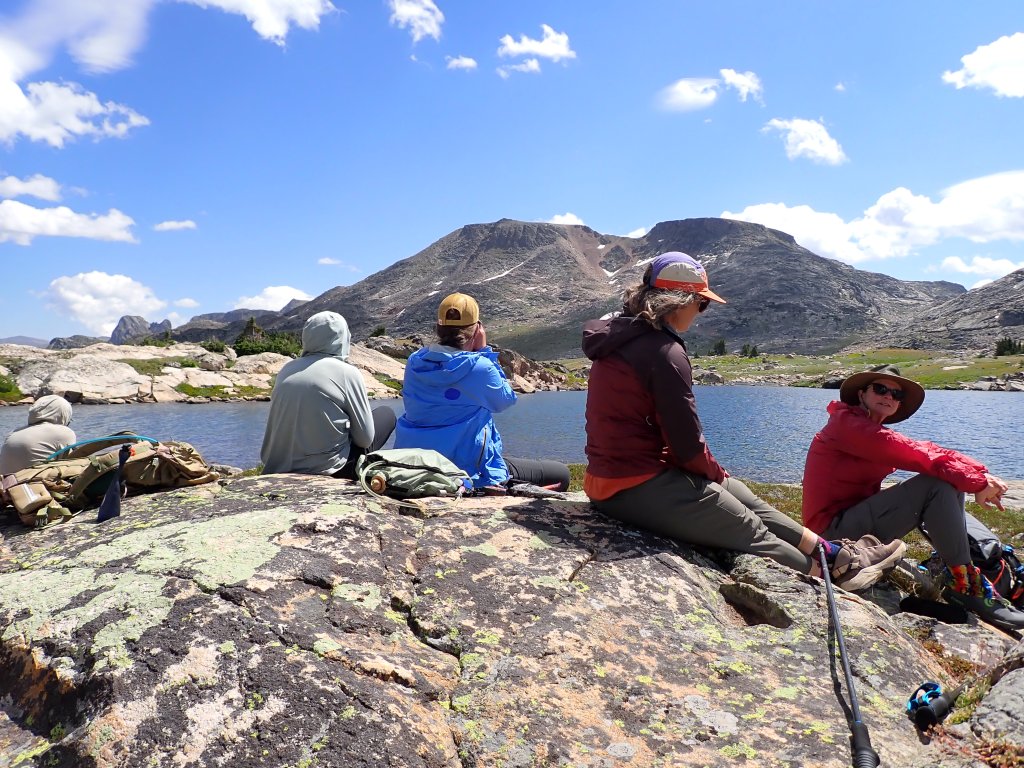
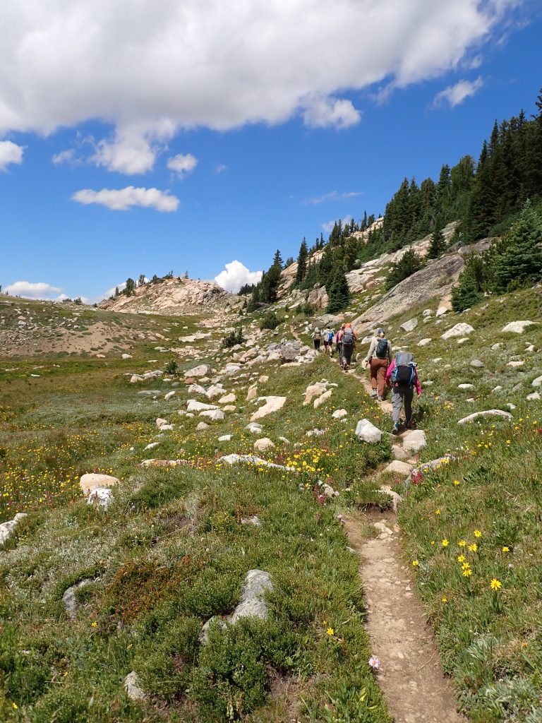
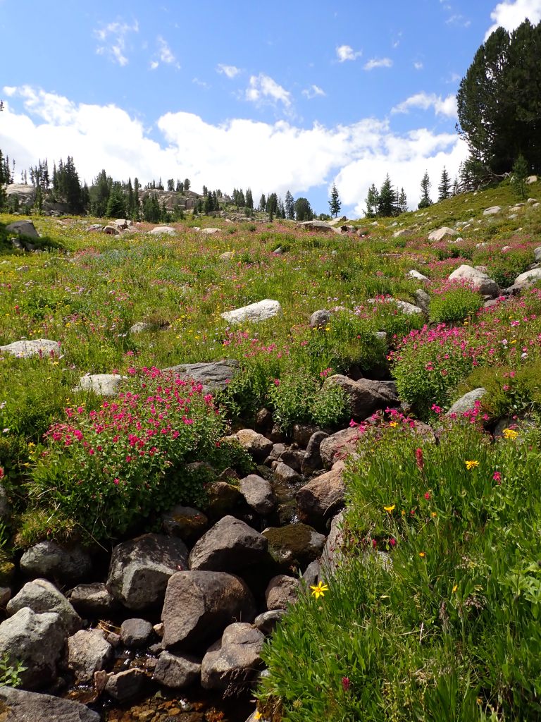
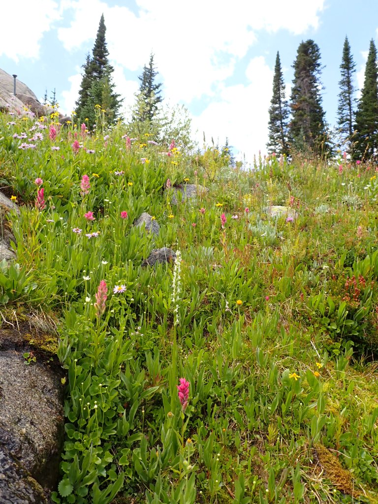
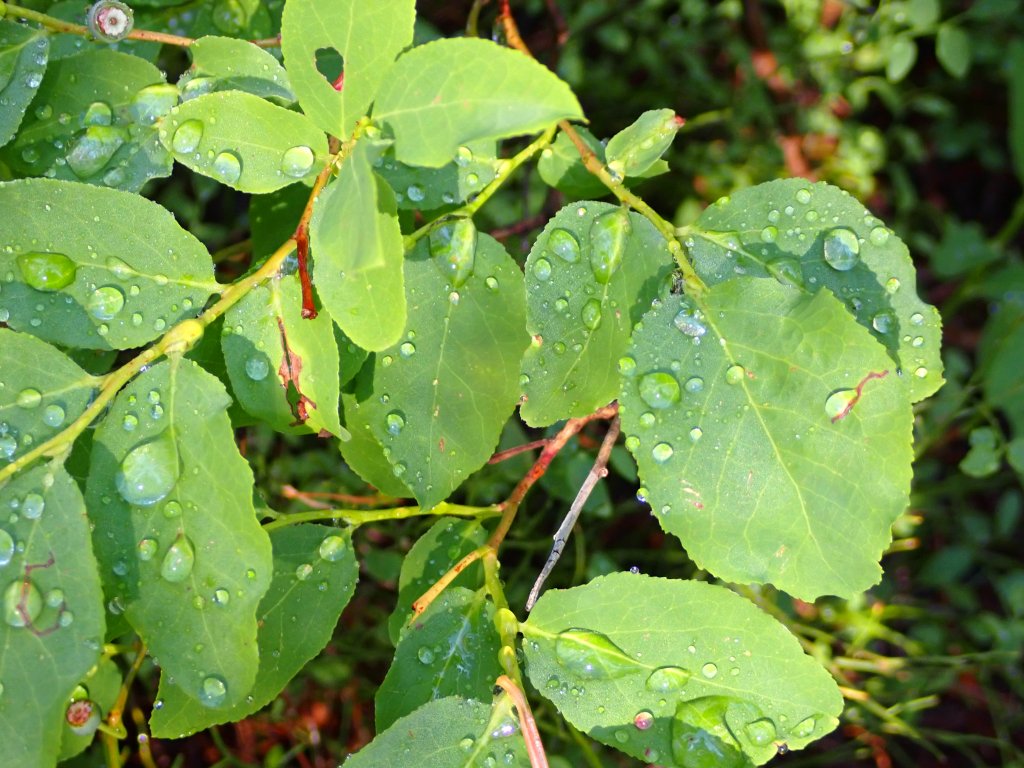
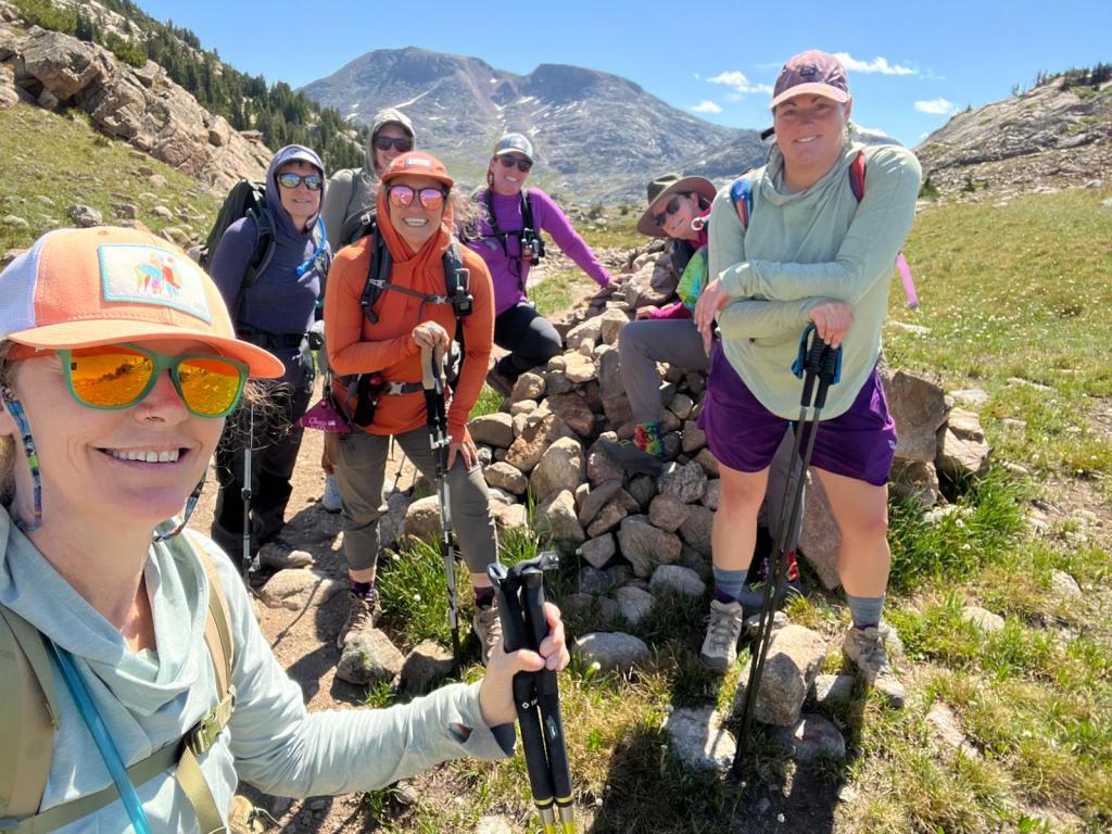
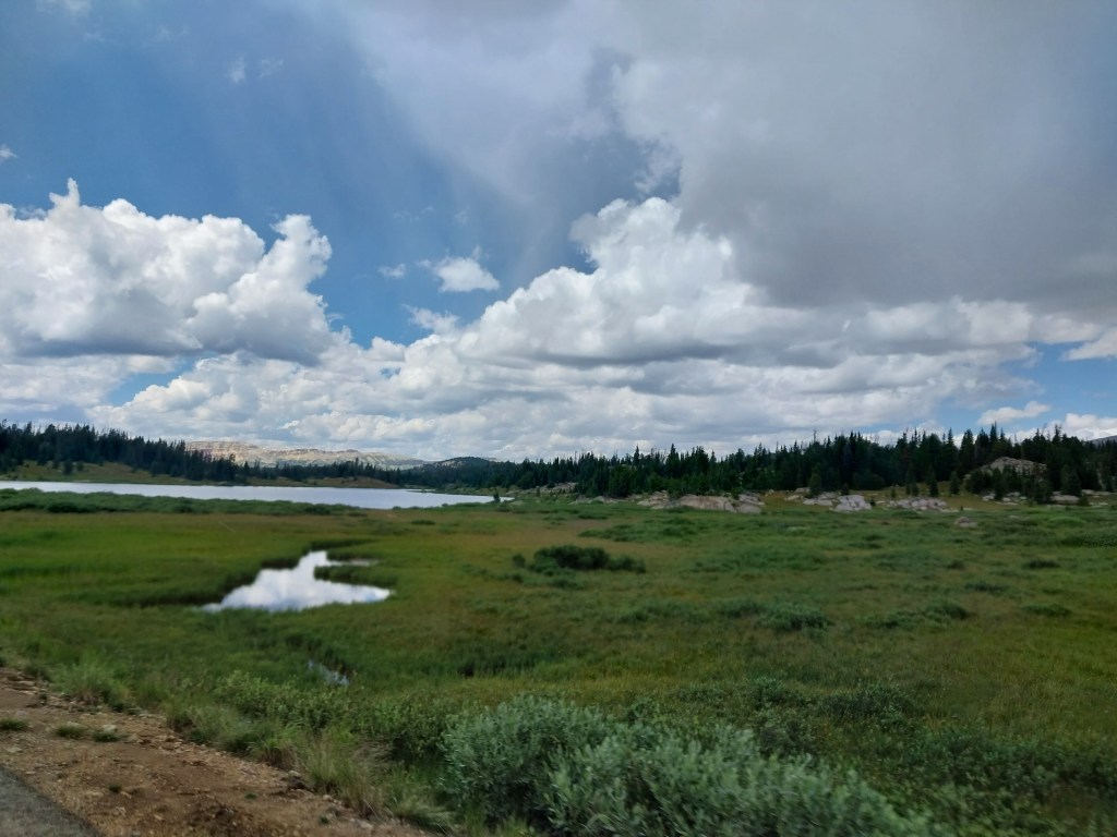
We were immediately struck by the lush green landscape, huge lakes and beautiful flowers. We passed Kersey Lake and hiked about 8 miles to our “base camp” at Russel Lake.

Kersey Lake
Rest break about 4 miles in – always a good time to stretch!
We were bombarded by flowers the entire time – nice to see as we are past the peak in Utah right now.
Russel Lake
We found a great campsite where we were able to put up all of our (5) tents. The plan was to minimize our “footprint” and share tents but some folks weren’t keen on that.
Stream close to the campsite where we could filter water.
Filtering water w/gravity bags have seemed to replace the piston/pump filters.
Our hike the next day would take up the pass to the right of this large “pile of rocks!”
Peaceful calm the next morning.
We made sure that we were “Bear Aware” and kept all food and cooking supplies several hundred yards from our tents.

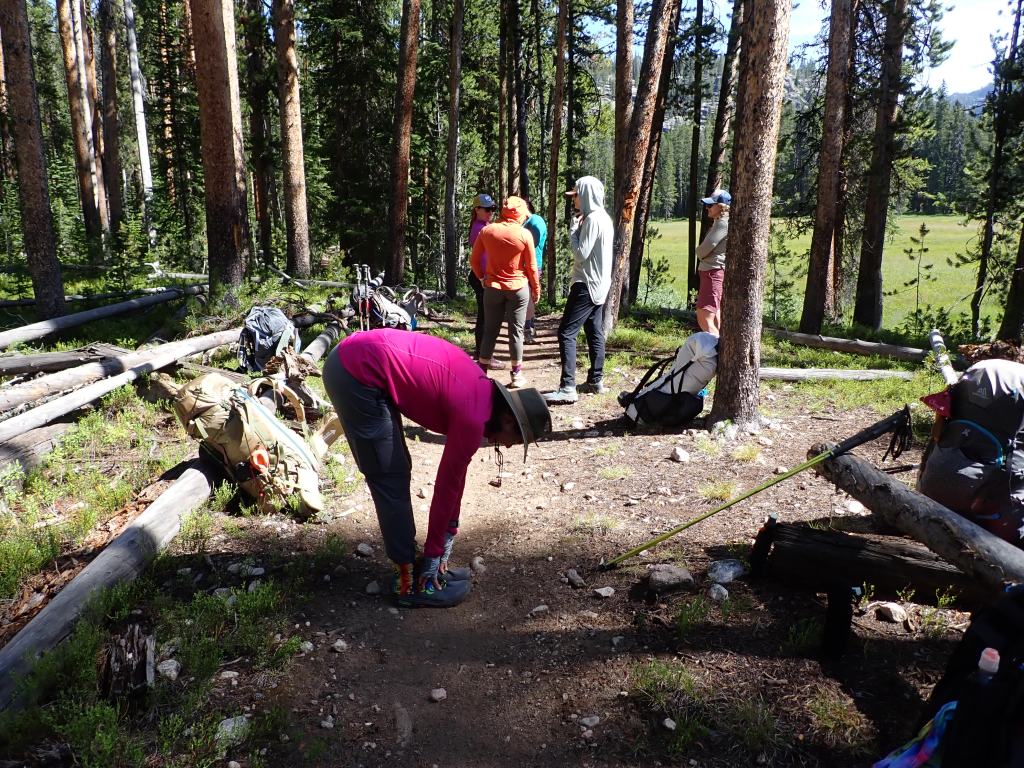
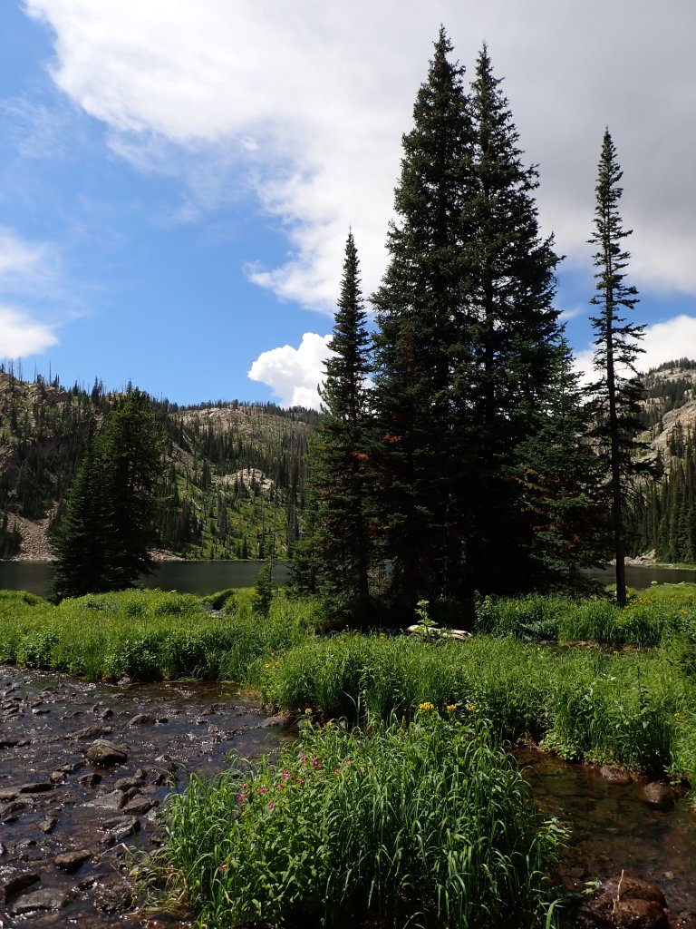
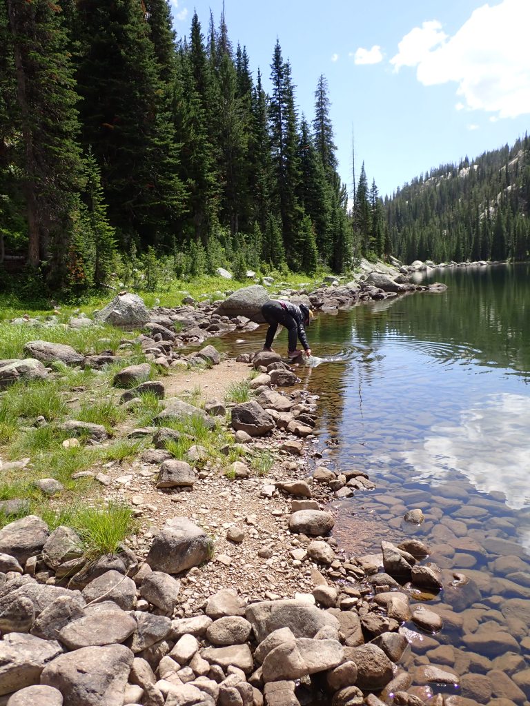
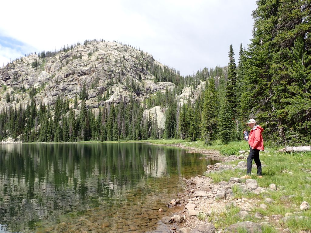
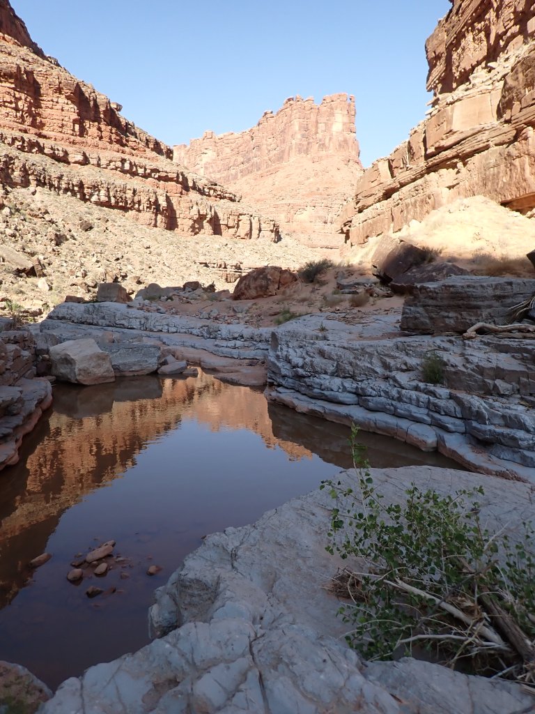
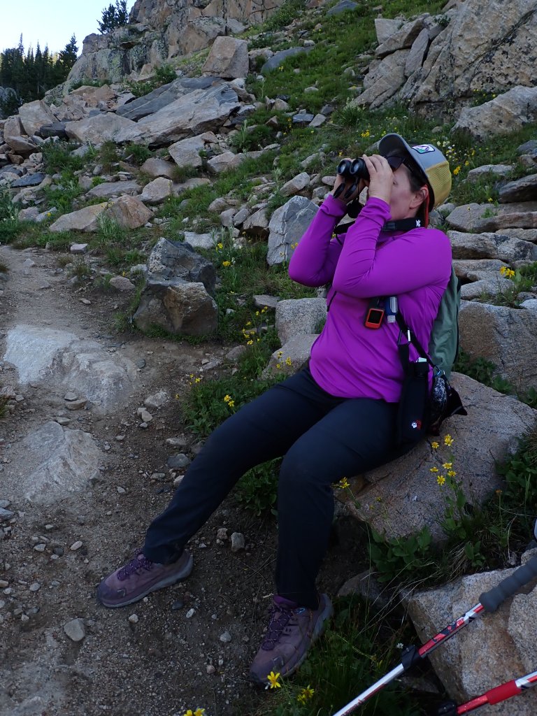
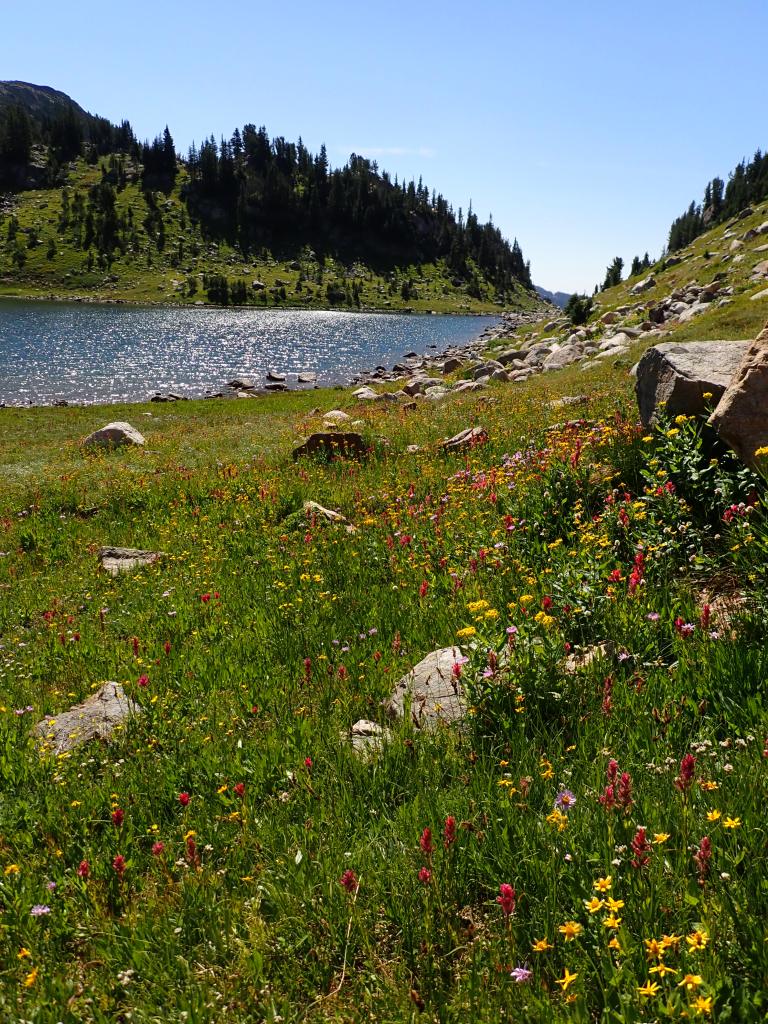
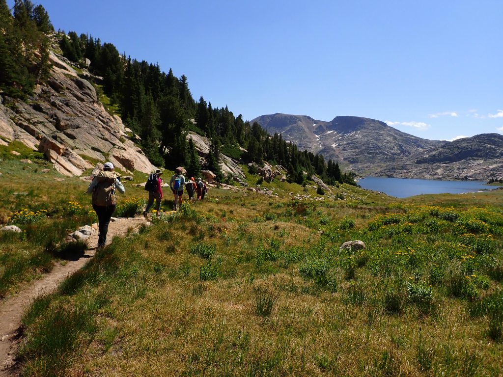
Once we were up and on the trail, we headed past Ouzel Lake, Bald Knob Lake, Skull Lake and up to Fossil Lake where we had lunch and then headed back to camp. The timing was perfect as a pretty big thunderstorm rolled through soon after we got back.

Trip leader (another Alison!) looking for wildlife.
Colors matched her hoodie exactly!
Angelique, one of the co-founders of the Women’s Wine Hiking Society.
Heading to Fossil Lake.
Lunch time – we were watching closely the clouds that started rolling in.
Like Dad always said, “Unless you are the lead dog, the view never changes!” I chose to hang out at the back and enjoy the flowers!
Fun to see some actual moisture on the trail!
Group photo at Bald Knob Lake.
Cindy, in front is the other co-founder of the group.

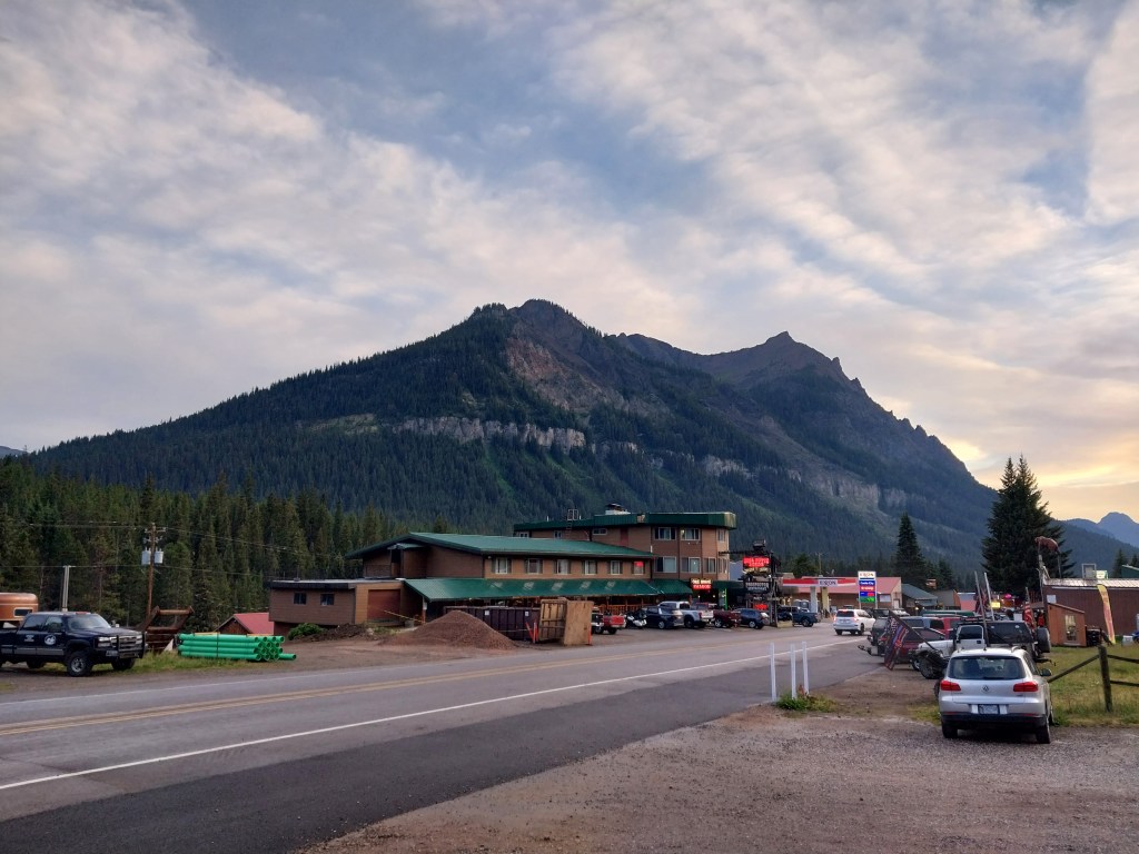
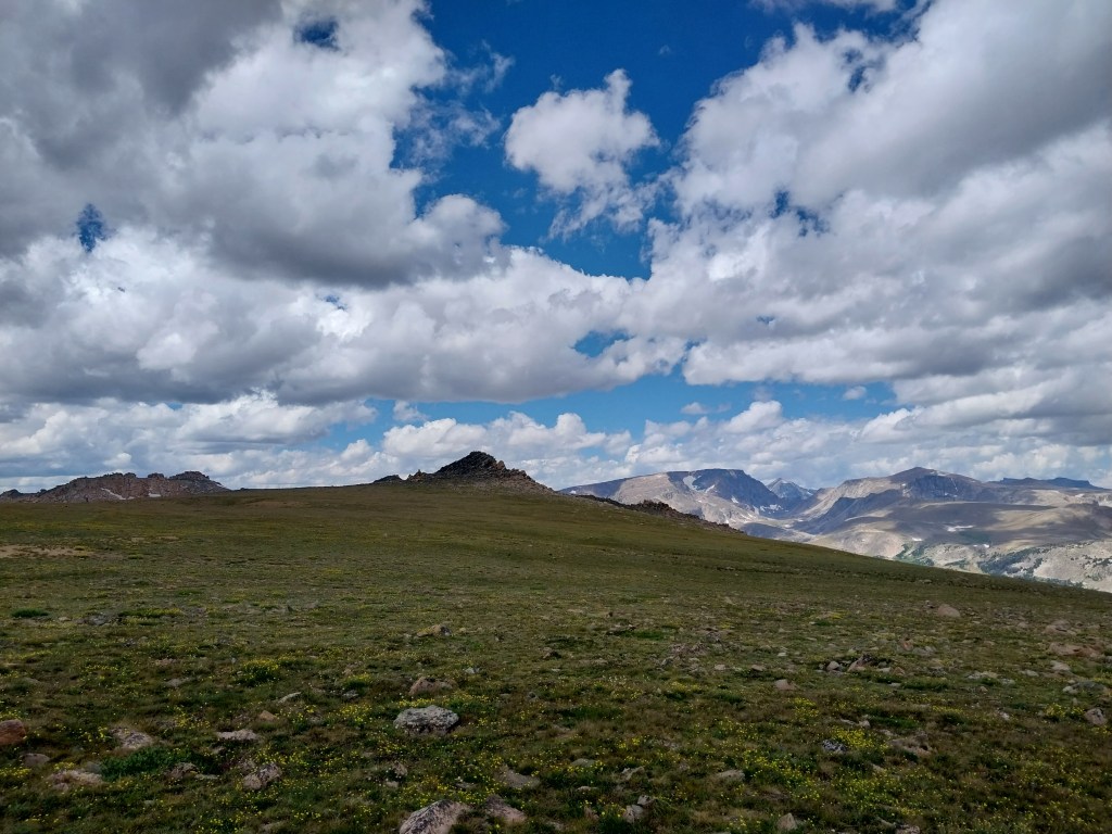
The next morning we hiked back to the trailhead and grabbed lunch in Cooke City and then headed up Beartooth pass for a quick drive on the purported second most scenic highway in the US. It was beautiful! The Blue Ridge Parkway is #1, BTW – not sure if I agree.

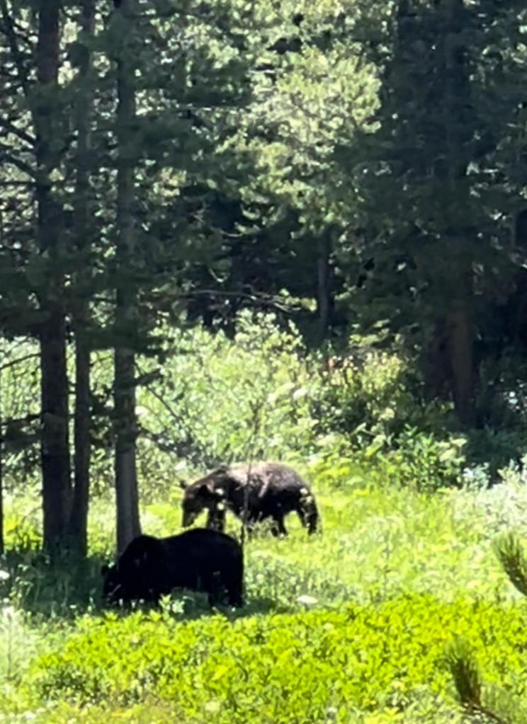
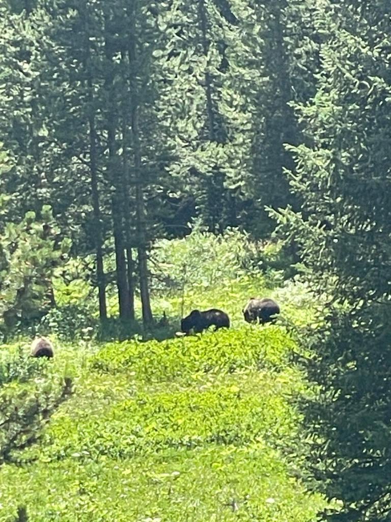
We even managed to see 3 Grizzly Bears foraging on the side of a hill – glad that this was as close we got to the bruins! Not the greatest photos but it was very clear that they were huge, and well-fed.

At the top of the pass.
Near the top of Beartooth Pass

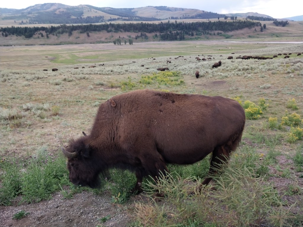
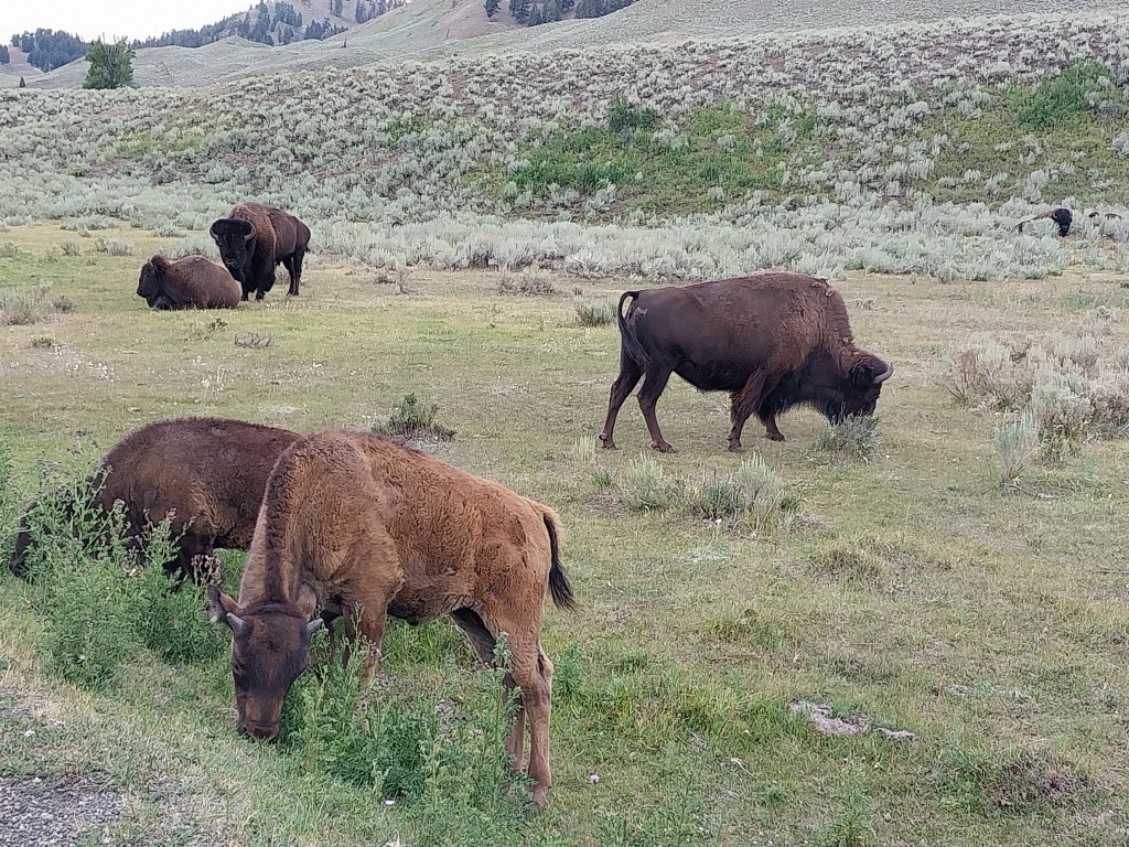
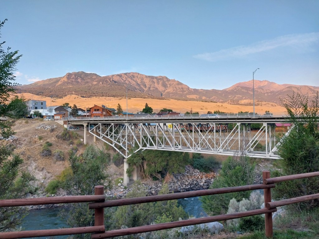
As soon as we had our sightseeing “fix,” we headed to Gardiner, MT for the night. This involved passing through Yellowstone Nat’l Park and many herds of bison.

Apparently the newborns are called, “Red Dogs” … who knew? Although this guy has horns so not sure how young he actually is!
View from our motel in Gardiner, MT.

We headed home the next morning and had to go back through part of the park again – luckily not many bison on the west side so no traffic jams!

Too Close For Comfort

https://www.ksl.com/article/51360692/willard-peak-fire-in-north-ogden-has-burned-577-acres-but-no-homes-have-been-torched

Instead of working on the many blog posts that I am behind, the last couple of days have been spent wandering around the house, watching the news and hoping that the fire that cropped up near our house will be extinguished! Of course, Joel is out of town, on a motorcycle ride to Hyder, AK, with a friend of his!

On my way home Wednesday afternoon, I spotted two relatively “small” plumes of smoke about 5 blocks from our house.

Within about 30 minutes it had escalated to a massive fire that was being swept up the mountainside with 40 – 50 foot flames visible with the naked eye. I climbed up on the roof and this is what it looked like from that vantage point, looking through the neighbor’s backyard.

There were soon multiple fire agencies, helicopters, planes and close to 200 firefighters fighting the fire. As the winds changed and pushed the fire back down the hill towards the houses, immediate evacuation orders were communicated. We were about 5 blocks outside of the evacuation zone, but it still made for a very sleepless night!

Our house is approximately at the end of the arrow – evacuation zone is north and east of the blue lines.

As of right now, everyone has been allowed back into their homes. Miraculously, no homes were damaged. A huge testament to the amazing fire-fighting teams on site … The fire is reported at 15% contained with small pockets still flaring up on the mountainside. Many firefighters remain on the scene and I am sure the mop up efforts will continue for many days, but for now it seems relatively calm.

As far as the cause, they really aren’t discussing much at this time but there was a car on fire reported in the general area and there were unsubstantiated reports that there were kids driving a vehicle in a non-motorized vehicle area up the hillside where the two fires started. Hopefully the exact cause will come out and those people will be held accountable! Way to go idiots.

Update as of 8/23/25:

Hopefully they get prosecuted to the full extent!

San Juan River Trip – Days 4 & 5

Recall the graph that was posted of the cfs for the timeframe that we were on the river … Days 4 & 5 were at the lowest point all season. Luckily the mileage was shorter for these two days – at many points during the travel the water was so low that it was only 3″ – 4″ to the bottom of the river. Our guides did an excellent job of navigating the numerous sand bars but it was slow going! Our camp for the last evening was at the Oljeto Wash. It seemed like as soon as the dinner preparations began, so did the wind. It took all hands on deck to keep the plates, tables and food from flying down the beach.

Datura plant – aka Jimsonweed. Many of the closed-up blooms were in the canyon behind the camp.
Joel took many photos of this photogenic plant before dinner. Most of the blooms were either dead or closed up like this one.
Beautiful shade!
Last dinner together.
After dinner, Joel took a few more shots, then wandered back to the campsite.
Then, twelve minutes after the sun set, the closed blooms had opened fully! Too bad he didn’t set up a time lapse!

The next morning we took a hike up the wash and found a lot of interesting rock formations.

Then it was back into the boats for a 7 mile trip to the boat ramp to load up and return to Blanding.

Boat ramp at Clay Hills. The water was down about a foot from optimum so it took a team effort to hoist the rafts up onto the trailers.

Another great trip with Holiday River Expeditions! Looking forward to our next adventure with them in a couple weeks.

San Juan River Trip – Day 3

Since we made a lot of miles yesterday on the river, we were able to go on a hike before pushing off for our next day’s travel. We were strategically camped at the Slickhorn Gulch campground, so we took about a 45 minute hike up the gulch/canyon. It was beautiful and full of many pools, some full of tadpoles!

Finishing up breakfast before our hike.
Our campsite at Slickhorn Gulch. We finally copied some of the wiser river travelers and dumped buckets of water on our tent site to cool down the sand. Too bad we didn’t figure this out the first two nights as it was like sleeping on hot coals – my sleeping bag never came out the whole trip!
Ready to head down the river in the glorious shade!
Lots of tadpoles in the pools of water in Slickhorn Gulch, but we never saw any adult toads.
Apparently there is a waterfall farther up the gulch but a little longer hike than we had time for this morning
Heading back into camp.

Once we were on the river, it was nice because we had a bit of shade.

Once we popped back out into the sun, the sarong came out and our first water fight ensued!

Queen of D Nile
Come and get us, suckas!

San Juan River Trip – Day 2

Today ended up being a bit longer – 27 miles down the river. Our first waypoint was the settlement of Mexican Hat which Ross rode through on his RAAM Race. The day was a bit smoky as there was a lightning-caused forest fire at Navajo Mountain and we were treated to a day of sort of orangish skies.

Steve from Alaska paddling up a storm.
Aptly named, Mexican Hat rock formation in the background. The umbrellas on the rafts started out as a good idea until they had to be fished out of the water.

As we passed under the bridge at Mexican Hat, we were happy to be on the water as the temperature was 107degrees up top.

We were ready for lunch and stopped at a nice “beach.” As the food was being prepared by Eliza, most of the group took a hike up to a late 1800s gold prospector’s cabin. The views were amazing as we could see both sides of the river meandering below from the saddle where the cabin was perched.

Learning a bit of history of the Mendenhall Cabin.
One of the other participants was an avid watercolor painter and spent much of the trip with her paints and paintbrushes at the ready.
Nan gifted us this watercolor at the end of the trip.

One of the main hikes we wanted to do on this trip was to hike up the Honaker Trail. Once on top, it was reported that you could see Monument Valley and incredible views of the river and canyon. The plan was to secure one of the three campsites by the trailhead and then hike up before dinner. Unfortunately, as the three campgrounds near the Honaker Trail are first come, first served, we were out of luck by the time we rolled by. We kept going for a few more miles and camped at Slickhorn Gulch for the evening.

San Juan River Trip – Day 1

After spending many years hiking above and around the San Juan River in Southern Utah, Joel and I decided it would be fun to experience it from water level. We were treated to a lot of amazing sights and sounds that are lost if you travel by roads and trails.

We signed up for the last available trip for the season that Holiday River Expeditions ran on the San Juan (June 16 – 20.) We soon found out that there are a lot of moving parts when you plan a trip down a river – namely the discharge rates at the dam upstream of our trip. The snowfall at the origin (in Colorado) was average but there had not been a lot of rain this spring. The average flow on the San Juan River is around 5,000 cubic feet/second (cfs.) We were warned that we may have to cancel our trip if the water levels were too low. When we popped in on June 16th, it had dropped to 1,700 cfs and by the end of the trip we were rafting in barely 1,000 cfs – in some places there was only 3″ – 4″ to the river bottom! Most river travel is stopped around 750 cfs. Note to self … go earlier in the season!

The crew getting the boats prepped – we stayed out of their way!
Eagerly anticipating 5 days on the river. Contemplating how he was going to leave no trace.

We launched the rafts at the Sand Island put-in , just a few miles past Bluff, UT. Once we were on our way, we stopped at several historic sites.

Yes, the river is brown … very brown. Mostly from the silt that is washing down. One fellow participant noted that the nickname was the “Fecal River” which really didn’t get me too enthused about getting in and swimming/floating. I did research this when we got home and there was some truth to it …. EWWWW!
Butler Wash Petroglyphs – just above Patty’s head in the dark section.
More detail of the petroglyphs.

The next stop was at the River House Ruins which were about a 1/2 mile hike from the rafts, which we returned to for lunch.

Sun protection at its finest, for those that don’t want to glop on the sunscreen. A sun hat from Mom – does it make my face look fat?
That’s about as far as I got in the river!
Packed up and ready to go for day 2.

All total we traveled 19 miles today. A bit of wind in the evening after we were in our tents resulted in a fine covering of sand/dust over everything! Temperatures were 102 degrees today and predicted to be 108 tomorrow as we passed through Mexican Hat. But, thankfully there is a breeze on the river so it was “tolerable.”

A couple of our campsite buddies! Pretty quiet – watched them eat a few ants here and there.

New Daylilies

As we are working on putting together the photos from our trip down the San Juan River, I wanted to post these photos of 2 new daylilies that I planted last year. Not sure of the naming logic, as some are sort of weird, but they are pretty!

Consuelo Pilar

Devil’s Chimes

Where’s the Beef?

About 30 minutes away, at Highlife Ranch.

When we were at the Cow Yoga last weekend, the owner of the ranch told us that we were welcome to come back and get a full tour of the ranch. Joel and I went yesterday and we spent about an hour learning about the ranch and it’s philosophy on raising beef cattle humanely with little stress to the animals. Over the years we had consciously tried to avoid any beef from the grocery stores – Joel had always kept the freezer full with game meat and following Ross at 10mph through the Kansas cattle yards on his RAAM quest was enough for me to be totally disgusted by mass-farmed and processed beef. As the freezer has been depleted of game meat, we wanted to look at local sourced beef. This seems to be the place.

We started our tour looking at some of the bulls that are part of their herd and a bottle-fed baby whose mom didn’t have enough milk. I think that David said the mother was 13 or 14 years old – interesting fact that “normal” beef cattle only produce until they are about 6 years old. They also mature much faster – in 1 1/2 years (probably due to steroids, antibiotics and mass “finishing” operations) whereas the Highland Cattle are very slow maturing and only head to the dinner table at about 3 years old.

David bottle feeding a baby. He ended up drinking about a quart in one gulp – I don’t think he even came up for air!
Baby bull and big bull! How can I tell?
One thing on his mind.

Pigs used to be raised on the ranch but are now just pets as the cattle operation took up all of their time.

The Highland Cattle need a lot of shade so the ranch bought this portable shade unit. It has a scratching/brush extension on it that has essential oils that help protect against flies. The shade unit is pulled by a small 4 by 4 and the cows will follow it around the pasture. This is one of the things that helps minimize stress. When moving the cattle they don’t use herding dogs, horses or vehicles – basically the cows are just trained to follow this shade unit or someone with a bucket of treats.

From photos and previous herds that I had seen, I just assumed they were only the reddish-brown color. Apparently there are many color variations ranging from black to silver/white.

We drove around the main pasture that had the cows and their calves, a few bulls and young steers. The steers being the ones that were being sold for meat once they are 3 years old.

Always looking for treats!
Mount Ogden in the background – awaiting my presence for the 2025 Peak Challenge!

All the cows have tags with their names on them. I chose not to learn any of the names of the steers lest they be the one that ends up on our dinner table. They are quite docile and I was able to brush this one for a little bit until she decided I was a stranger and needed me to move on.

Not quite like brushing Bonnie.
The baby is saying, “Git her, Mom!” With my cat-like reflexes, I managed to stay out of the range of her horns!

We were very impressed at the care that the family takes of the cows. It is a very thoughtful and humane environment so we decided to get on the list for 1/4 cow sometime in November. Joel took care of the transaction using PayPal which is on the verge of being obsolete, I think. He told me as I was leaving that I needed to figure out how to do Venmo. Put that on my list of things to do.

Highland Cow Yoga – A World First?

At the yoga studio that I have been going to for the last 17 years, they promised a unique experience – cow yoga. The two sessions quickly sold out so I was happy to get a spot for this morning. We practiced in a pasture that had all the 1-year old steers in it – about 18 or so. No cute cuddly babies but these cows are known to be very docile and they did not disappoint! There were about 30 participants and the cows seemed very curious at the beginning. But then as we practiced our Cat/Cow and Cow-Face poses, they lost interest and were more concerned about staying in the shade.

Our instructor Jamie, meeting one of the cows. We did have to watch where we set our mats down!
One of David’s sons who is also a cow whisperer.
The owner of the cattle is David Castillo, who gave up a successful MMA career (20-9-0, 1 NC (Win-Loss-Draw) to become a farmer.

As we finished up, we were given the opportunity to visit the cows. They were interested until we ran out of treats and then they “high-tailed” it to the other end of the pasture.

The black and white one off to the left is only 25% Highland Cow. They purchased him because he looked so unique!
The views from the farm were stunning. The highest point on the right side of the ridgeline is Ben Lomond peak. Our house is on the other side of the peak. You can barely see but the snow is almost gone. This time last year I had crampons and ice axe as I made my way up for the TFNU Peak Challenge. Promises to be a walk-up this year!
Adios!
Cuteness Overload!

Back in Boston

With Xavier graduating from Rivers, it gave me an opportunity to spend a few days with Natalie and family. It was a jam-packed weekend and Thank You, Natalie for all the coordination! The “normal” hotel that I stay at was almost $400/night so I opted to stay in Concord, where Bob and Larina were going to stay. It is a cute and very historic town with lots of places to explore on foot. The weather was a bit colder than when I visited for Alex’s graduation but I made sure I brought warm jackets and raingear!

The Colonial Inn is where I stayed. It was built in 1716 and located in the center of town on Monument Square.
This monument is in the Town Square and was erected in 1866 to honor all who served the nation during the War of the Rebellion.
A short walk to Haute coffee for a cherry/pistachio scone and lavender latte.
I probably should have gone in here and bought a sheet of commemorative stamps for Joel but they weren’t open when I walked by.
Hill Burying Ground – This is the Europeans’ earliest burial site located on a hill overlooking the town square. In the background is the First Universalist meeting house where Frederick Douglass spoke in support of Civil Rights. Years later it was converted to the first Catholic Church in Concord.

The big event, of course, was Xavier’s graduation. We went early and got good seats and settled in for the ceremony.

Still very obvious who is the tallest of the sisters (me.)
The prize at the end of the tunnel!
Xavier participated in the pond swim/jump that is a tradition at the school. He is the second from the left.
Pre-ceremony photo in from of the beautiful dogwood in their front yard.

Once the ceremony was over we headed over for a joint family lunch with two of Xavier’s classmates. Tony hopped over to pick up his Dad who seemed to have a great time. Julia was back from a whirlwind visit to Washington, DC where she received a scholarship from the Sons of Italy (?) organization.

Back home to the hacienda for a bit of R & R and food. Jupiter was well behaved with all the chaos and new, but familiar, faces and smells.

Beautiful planter boxes in full bloom.

Natalie had signed us up for a tour of a local Asparagus Farm and then lunch afterward. The tour was very interesting and informative – sandy soil, well watered and drained, stalks may grow 3″ a day in the hot weather, skinny and fat stalks can come from the same plant and the plants can live up to 20 years.

Part of the field that had newer plants in it. The “crowns” are purchased when they are 3 years old. There are male and female plants this one has small seeds on it.
In this row, you can see that there is a large stalk amidst the skinny ones. Just the way the plant grows, apparently.
We were encouraged to try a stalk right from the field. As the group tromped through the field, several seemed to not see the stalks in the rows. Note the carnage in from of Natalie (no, she didn’t step on them!)

We ended seeing the new Tom Cruise movie. Not to ruin the ending, but it wasn’t what I expected!

Bob and Larina had a hike/walk planned around Walden Pond and I ended up tagging along with them. It was nice to get out and stretch the legs and watch the swimmers make laps around the pond.

A great time was had by all and we look forward to seeing Xavier as he relocates closer to us at ASU this fall. A shout out to all my chauffeurs on this trip, it was nice to not have to drive so “Thank You” to Natalie, Bob and Larina, Xavier and Alex!