I have to say that this was my LEAST favorite day. Although there was about one mile and 400 feet of elevation gain right out of the campsite, I would have welcomed more of the same. Unfortunately the rest of the eight miles was downhill. Not a gentle, easy downhill but constant rocks, roots, scree and obstacles meaning that you could never really take a “normal” step and you spent the time mincing along a steep trail which seemed to go on FOREVER! I never thought I would say that I would enjoy uphill better than downhill but this was one such instance!
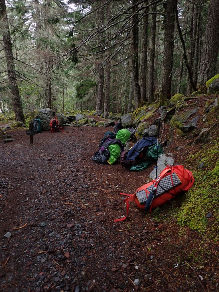
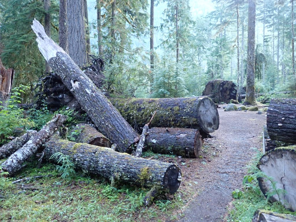
Once we got to the Ipsut Creek Campground we once again pulled totally soaked tents out of our packs and quickly put them up. We were hoping that they might dry out but the humidity was high and there was no wind. In this campground there are apparently very strong winds at times, in fact, most of the 12 campsites had been demolished due to falling trees in a past windstorm. In a lot of the campsites the trees fell on the picnic tables so they just put new tables in. The road to this campsite had been closed so that there was no vehicle access anymore.
One bonus was extra large, permanent porta potties with toilet paper. Nearing the end of the trip we soon figured out who miscalculated how much TP to bring. I had donated some the day before to one of the other hikers so I am sure she was glad to see the stash in the porta potties!
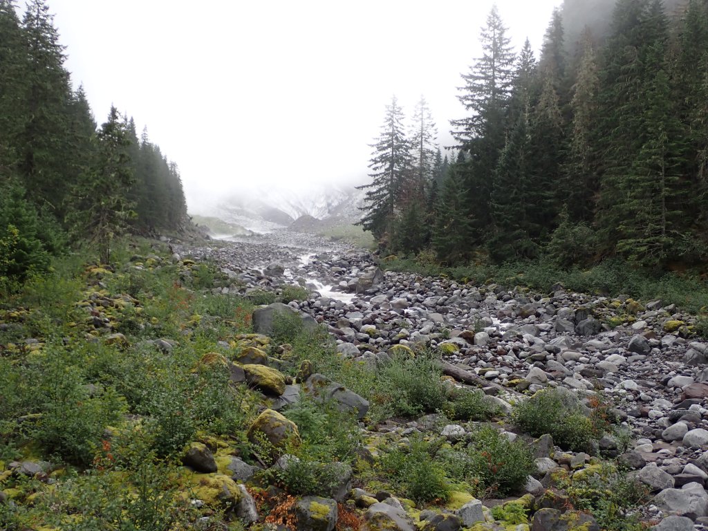
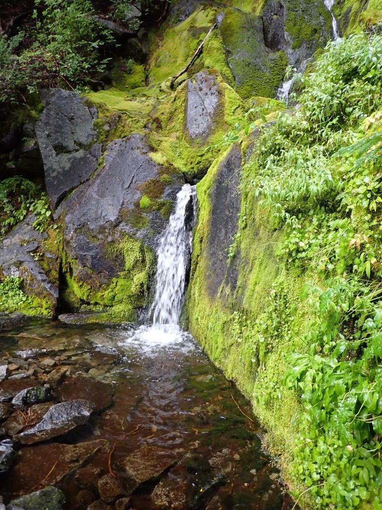
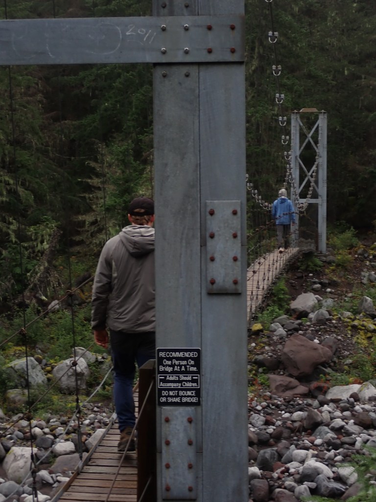
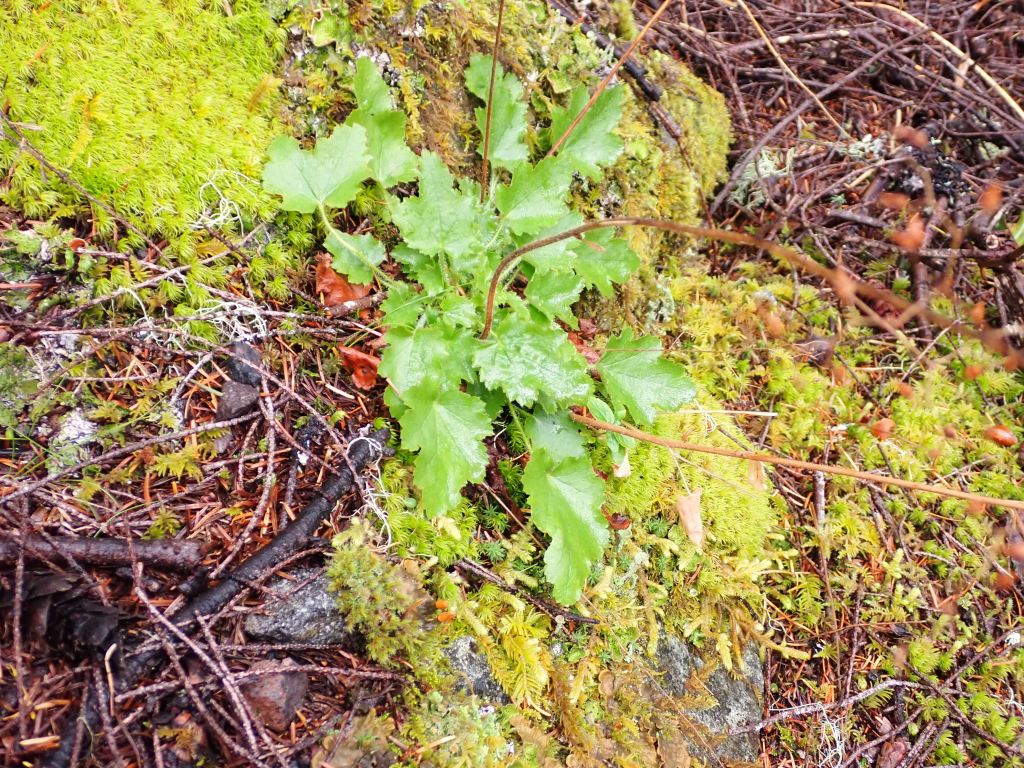
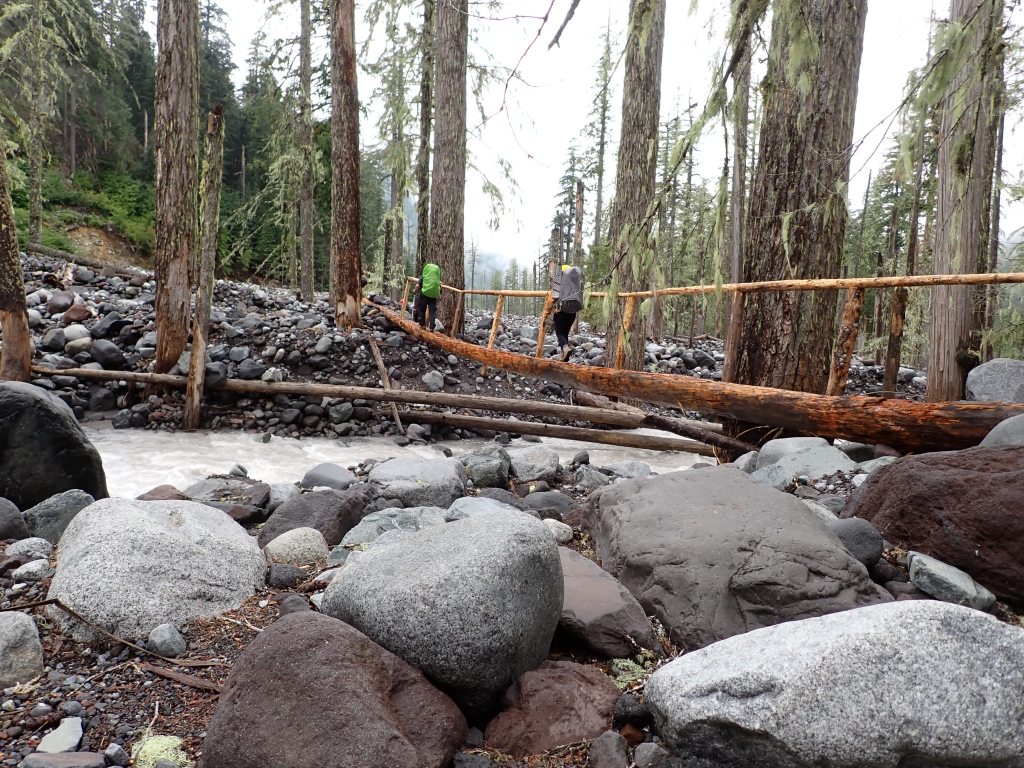
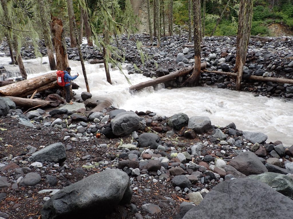
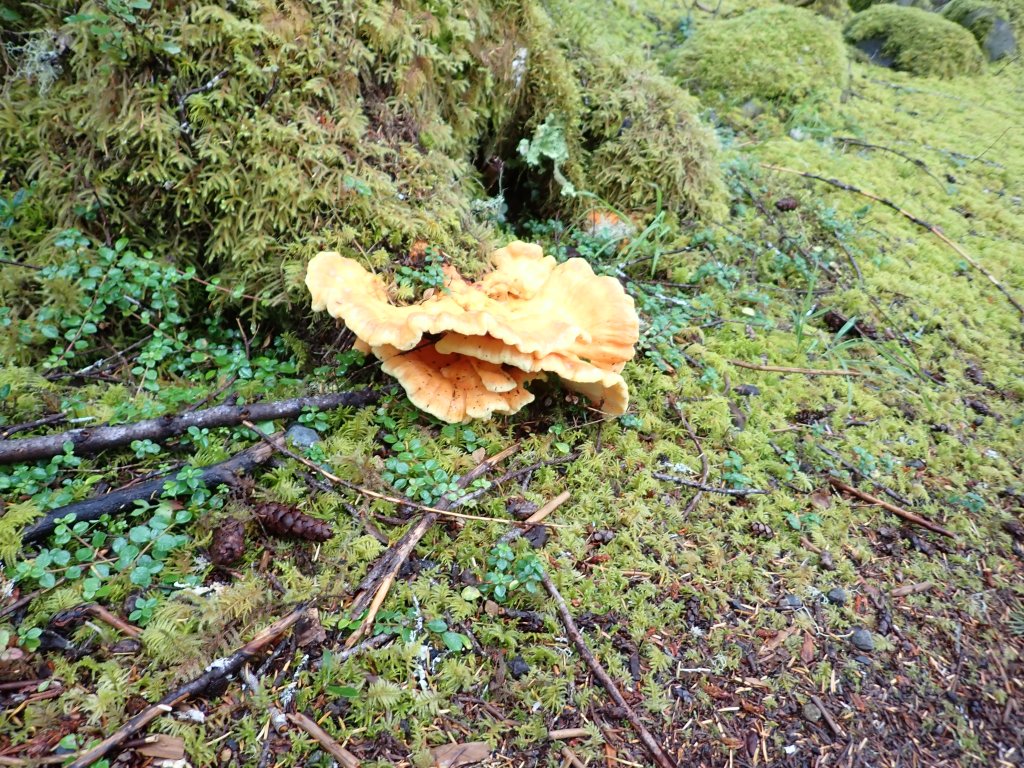
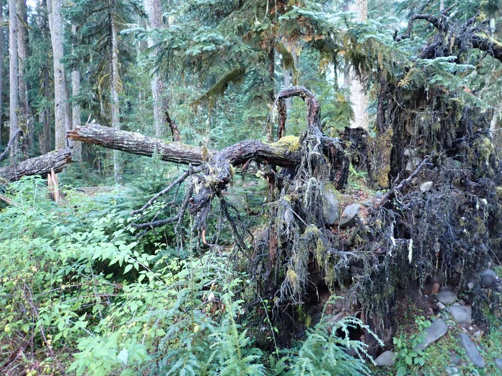
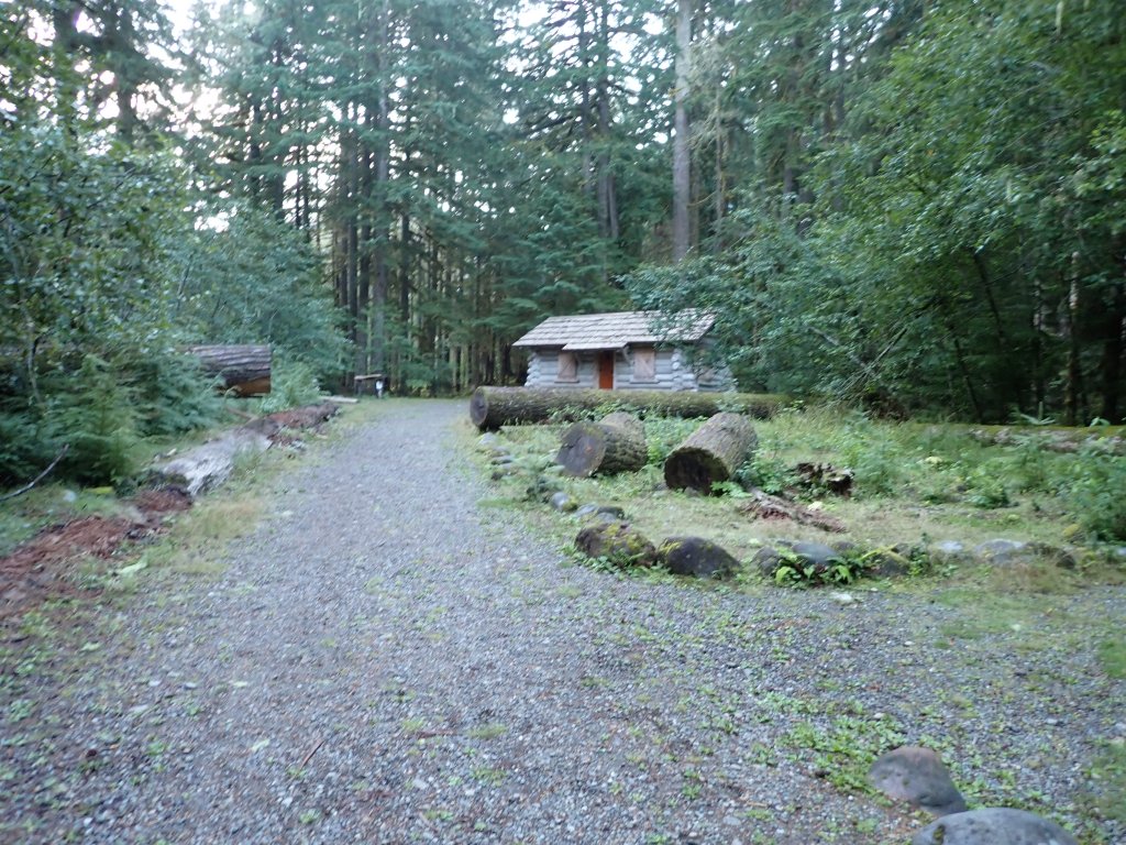
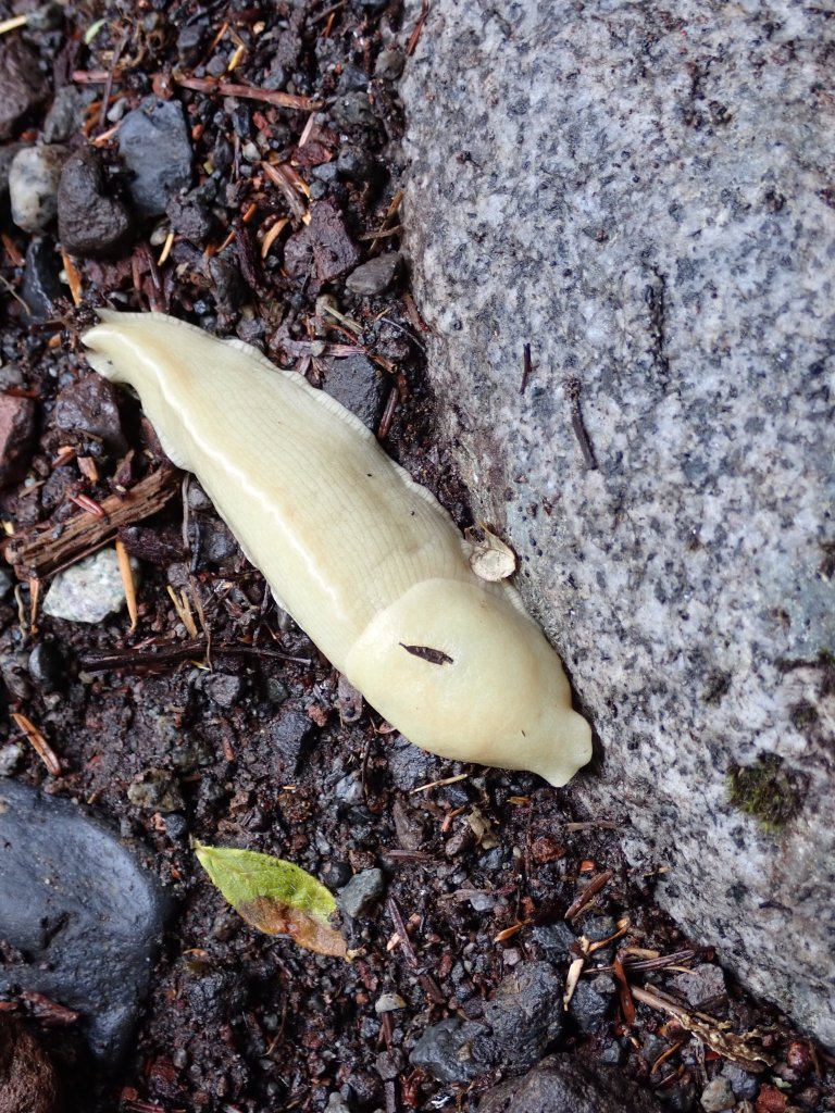
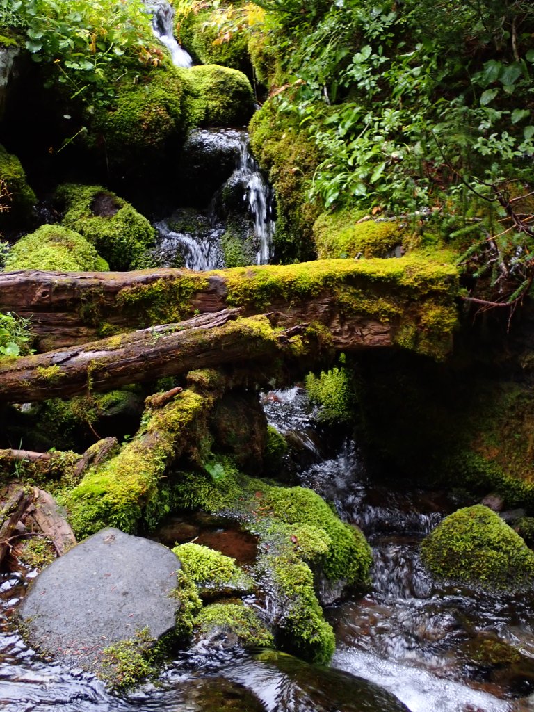
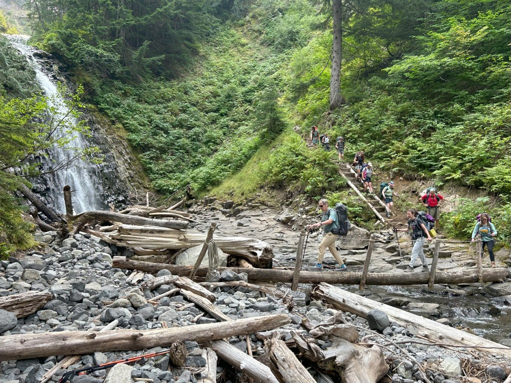
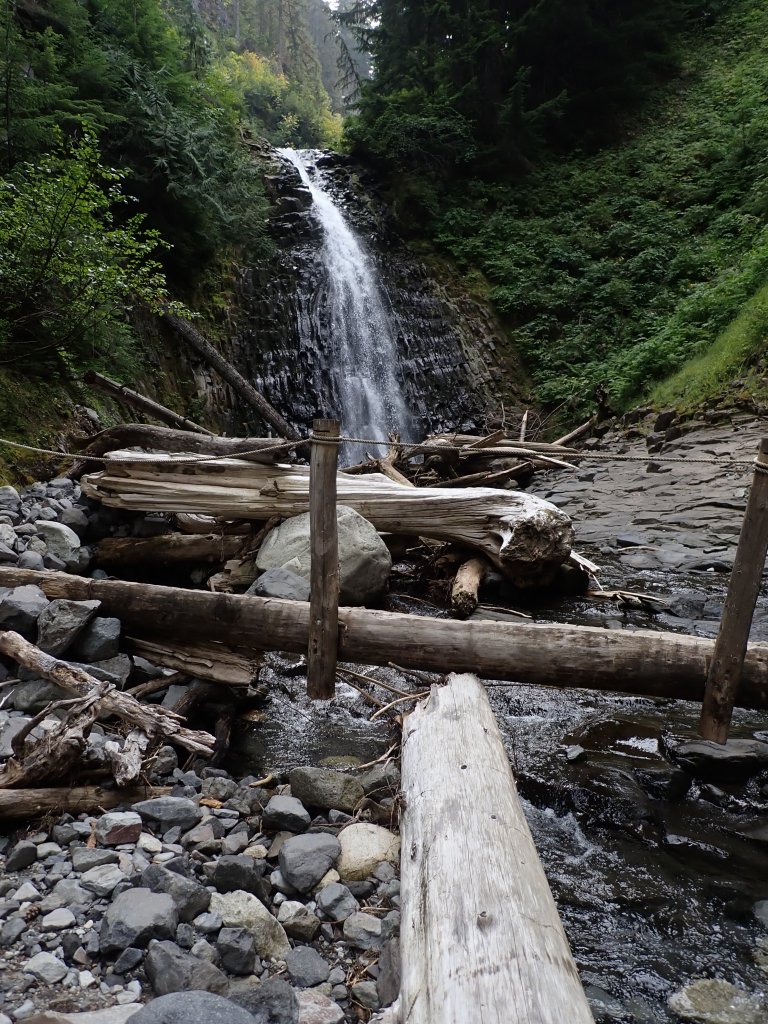
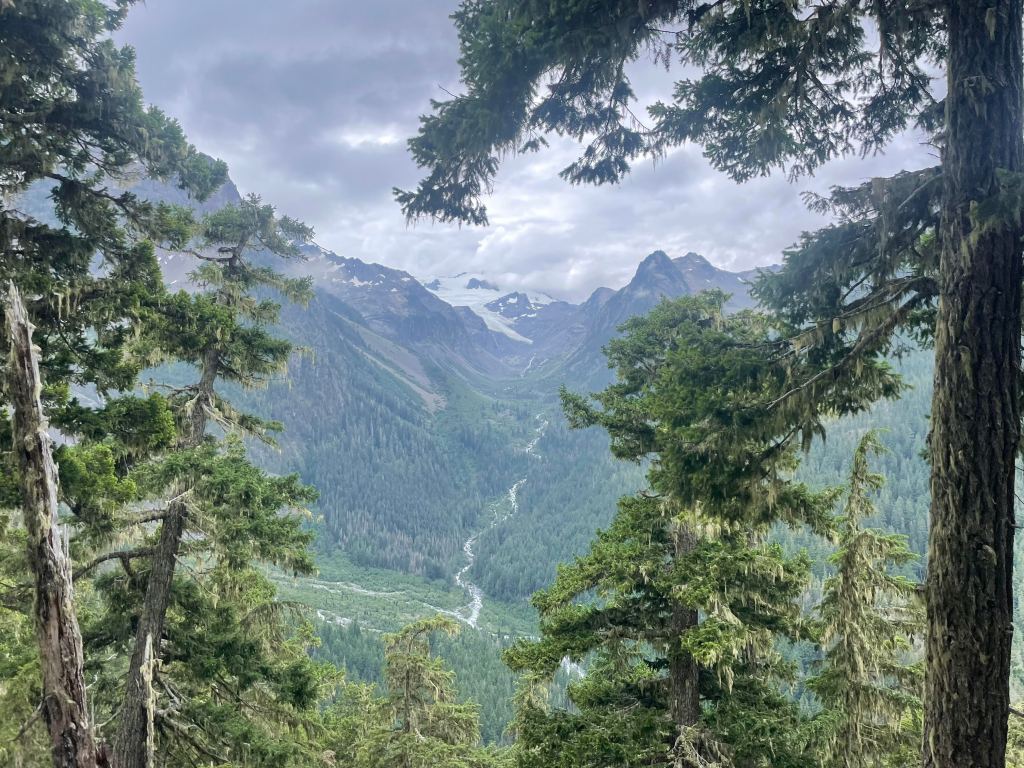
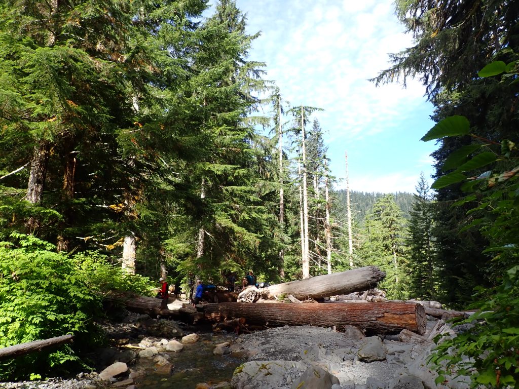
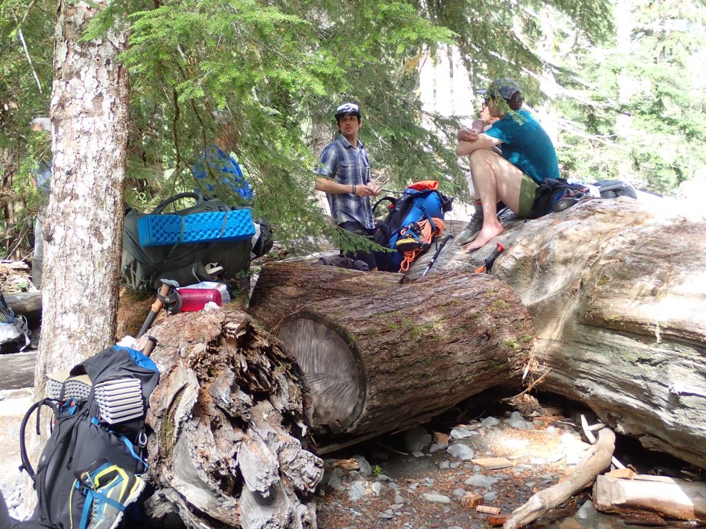
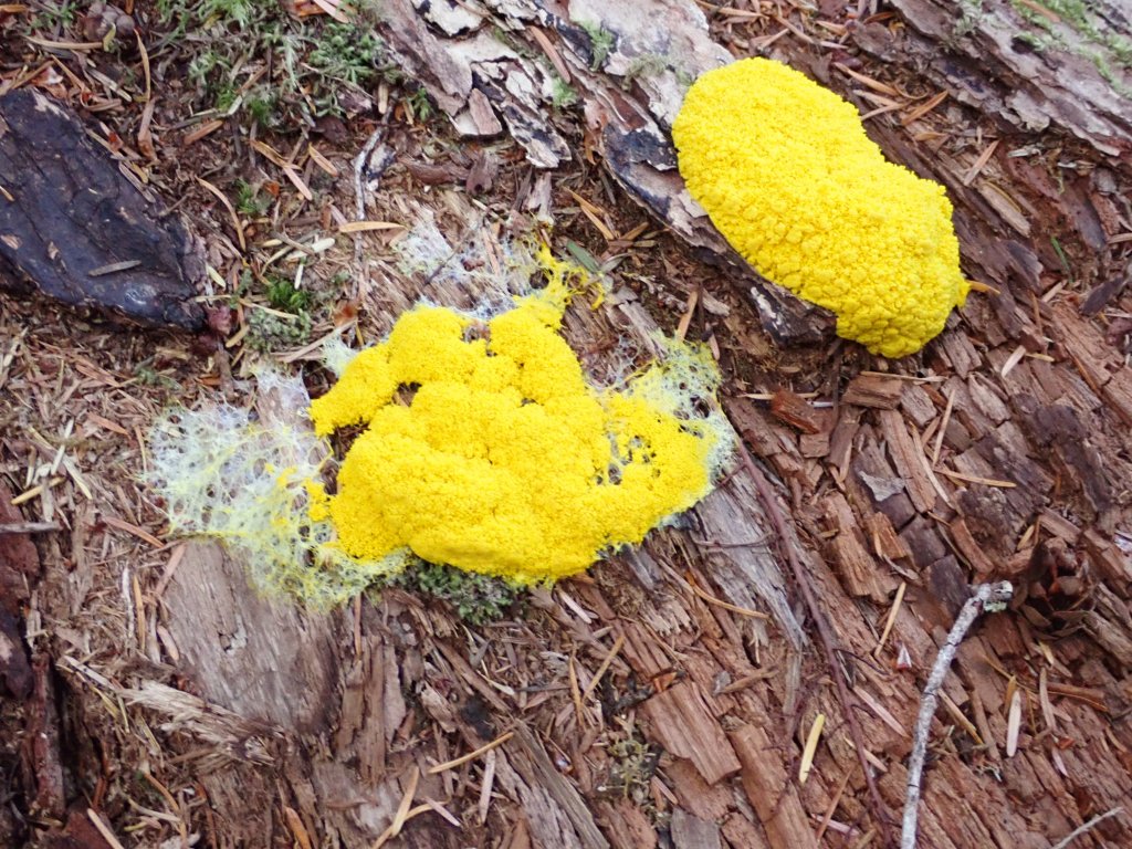
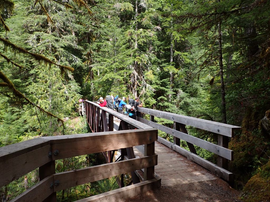
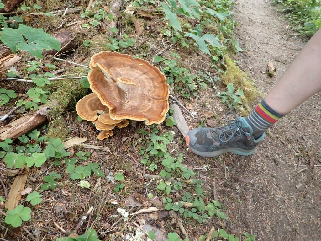
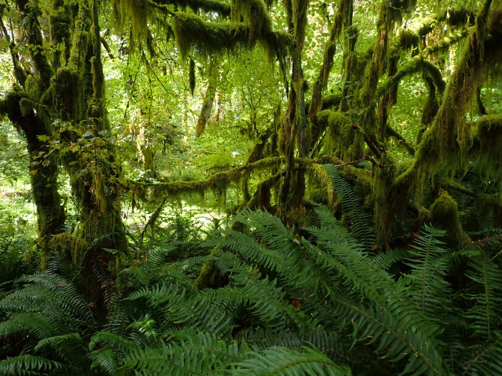
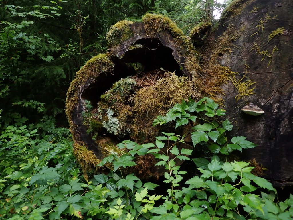
Fog rolling off the Carbon GlacierAnother trailside waterfall and hanging garden.We took a detour over a suspension bridge for a quick break.It felt good to take the packs off for a few minutes.A couple more river crossings today.James taking a team action shop.Not sure if this one was edible.Some of the uprooted trees at the campground. We saw several that were still standing with blue blazes and metal tags – not sure if that meant they were good or bad!This was one of the campsites that the tree fell right on the picnic table and they just put a new one in the middle of the site.Ranger cabin at the Ipsut Creek CampgroundI don’t think I have ever seen a white slug. I felt compelled to pick the debris off his back but didn’t in the end.
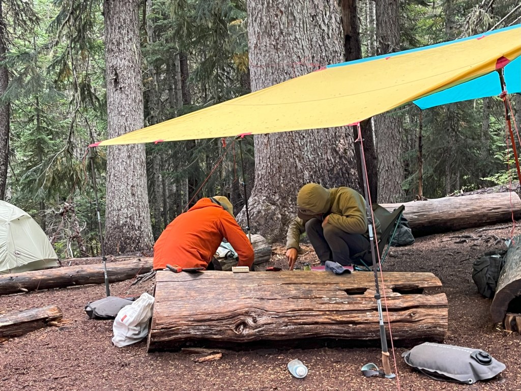
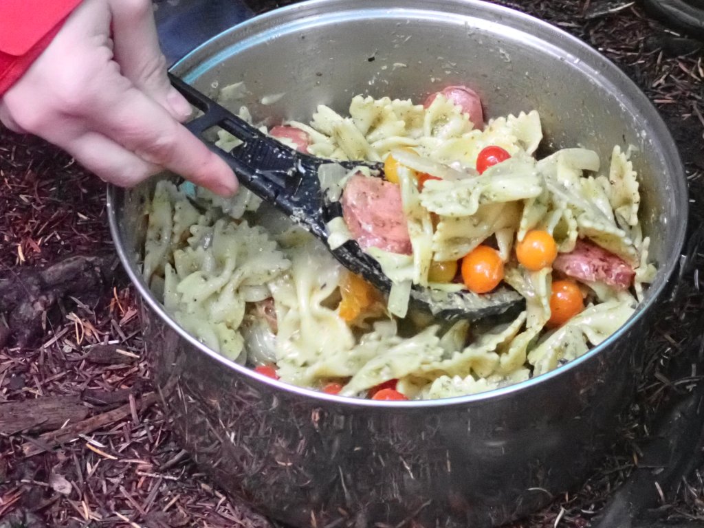
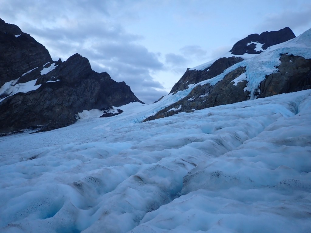
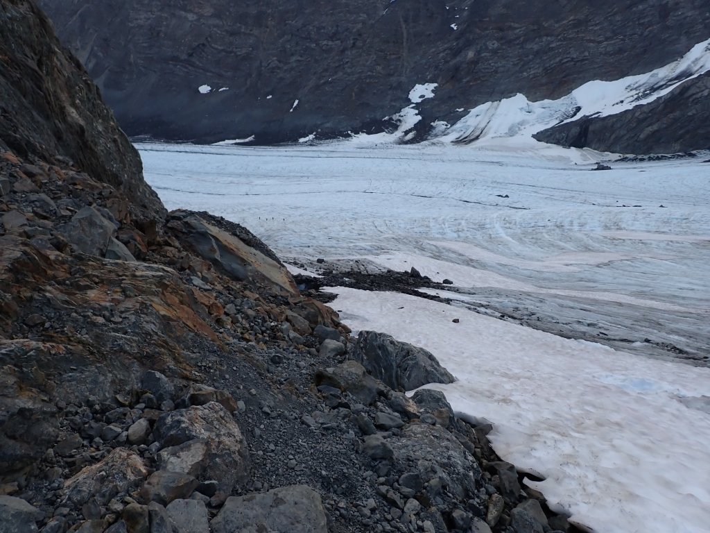
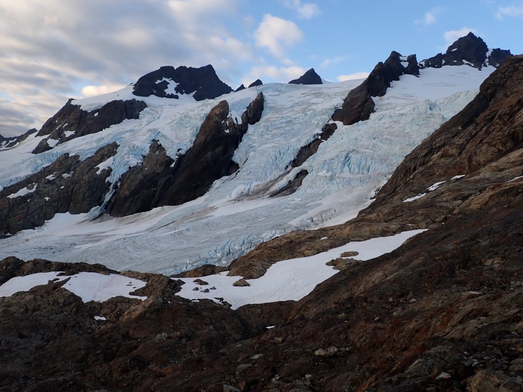
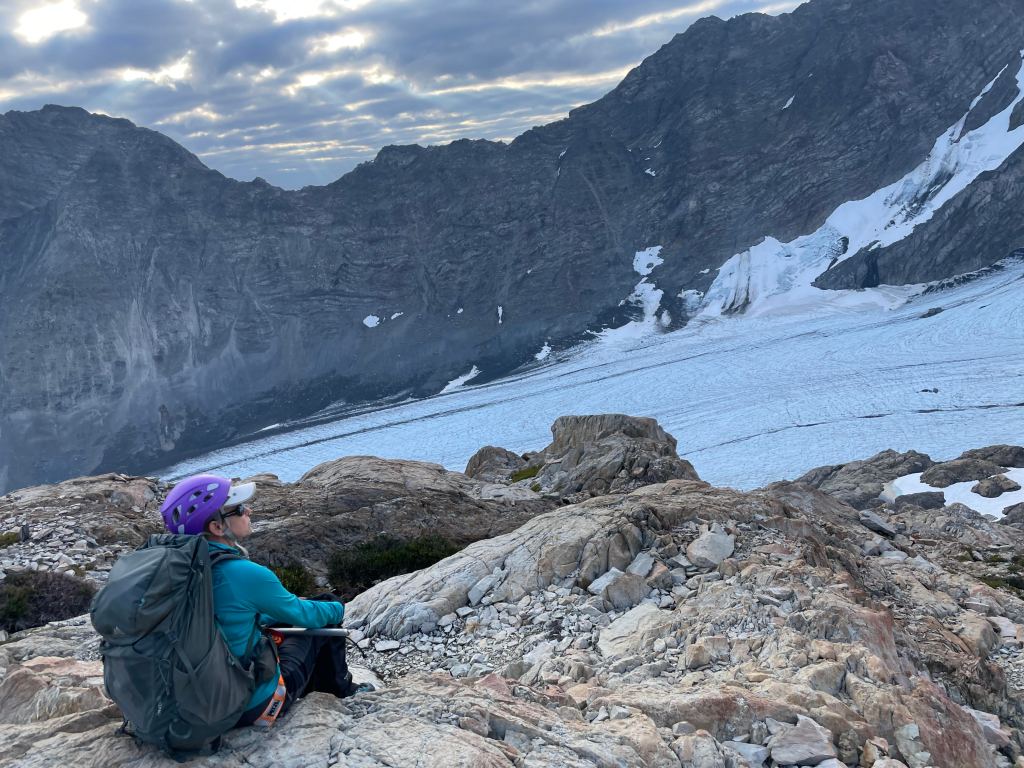
Today we hiked about 2,000′ up to the Mystic Camp by Mystic Lake over about 9 miles. The day was overcast, wet and again drizzly but most of the time we were in the forest so we didn’t get too soaked. But, putting up a wet tent in the rain, at the end of the day was not real fun! We had another creative meal of Pesto Chicken Sausage Pasta with Asparagus and Olives with fresh Cherry Tomatoes – what a treat! Then fresh pancakes for breakfast the next morning – how to get spoiled while backpacking, for sure.
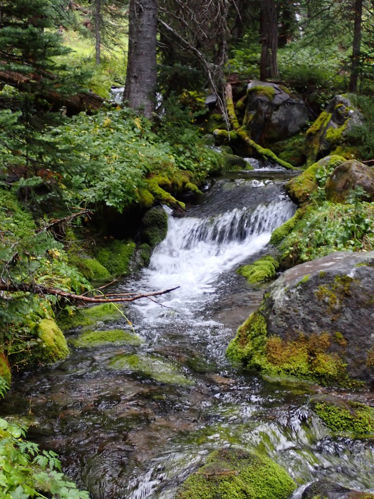
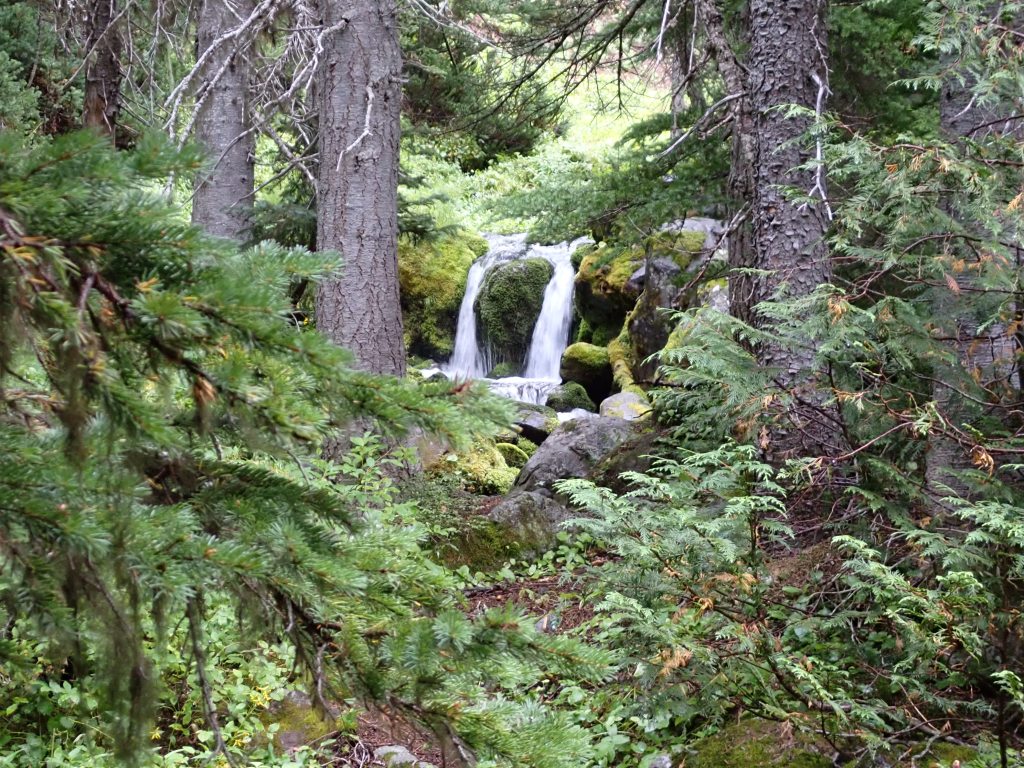
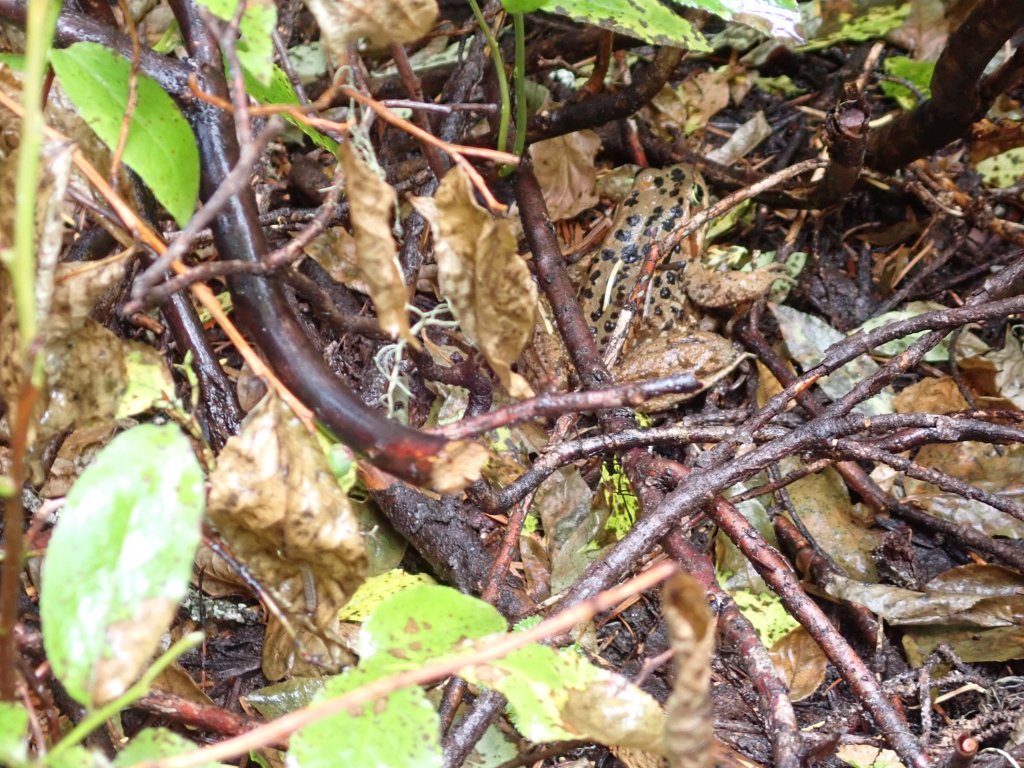
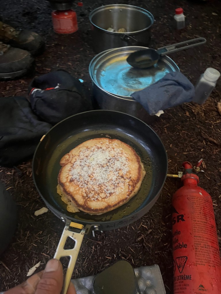
This guy managed to get a feast in before the rain.Starting out the day in the rain – what did we expect – we were hiking in Washington!At the top of the pass out of Sunrise Camp.Close to the Granite Creek Campground there were multiple waterfalls (far a 2025 Waterfall Calendar?)Second oneThird oneFourth one – a double!Sort of soggy taking a break at the Granite Creek CampgroundCascade Frog – quite well camouflaged.Once we got to camp a break in the rain and Zach and James were able to get a couple dining tarps up.Dinnerand Savory Pancakes for breakfast the next day – Kodiak Cakes High Protein Pancake Mix with added lemon zest and Parmesan Cheese. YUM!
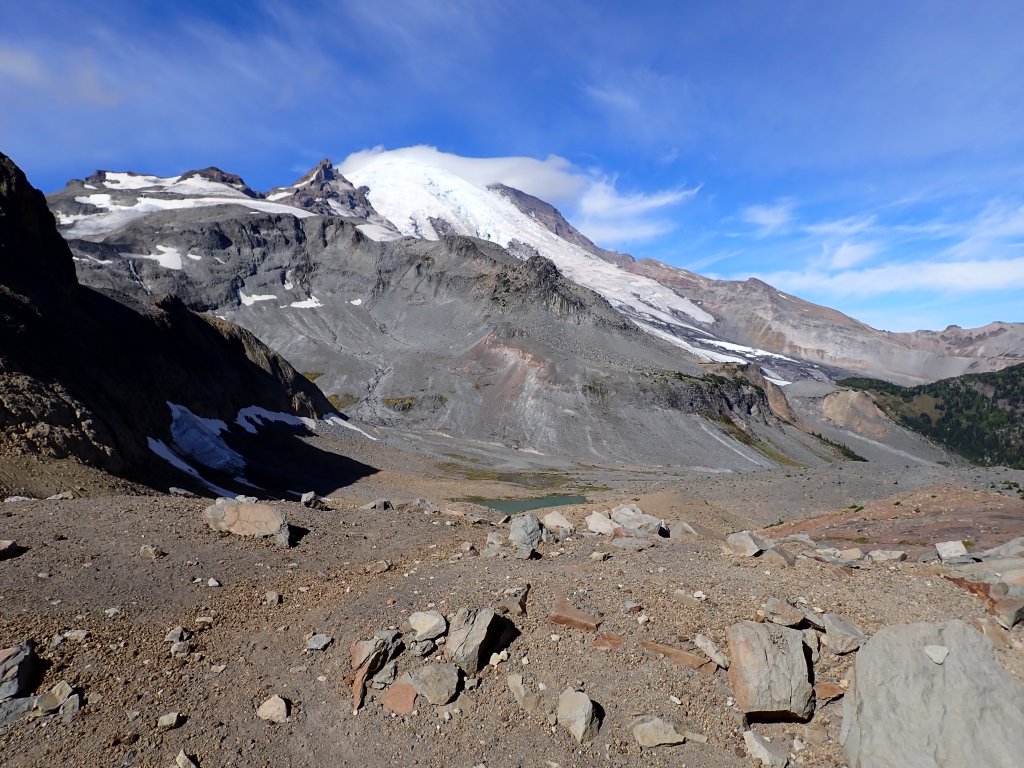
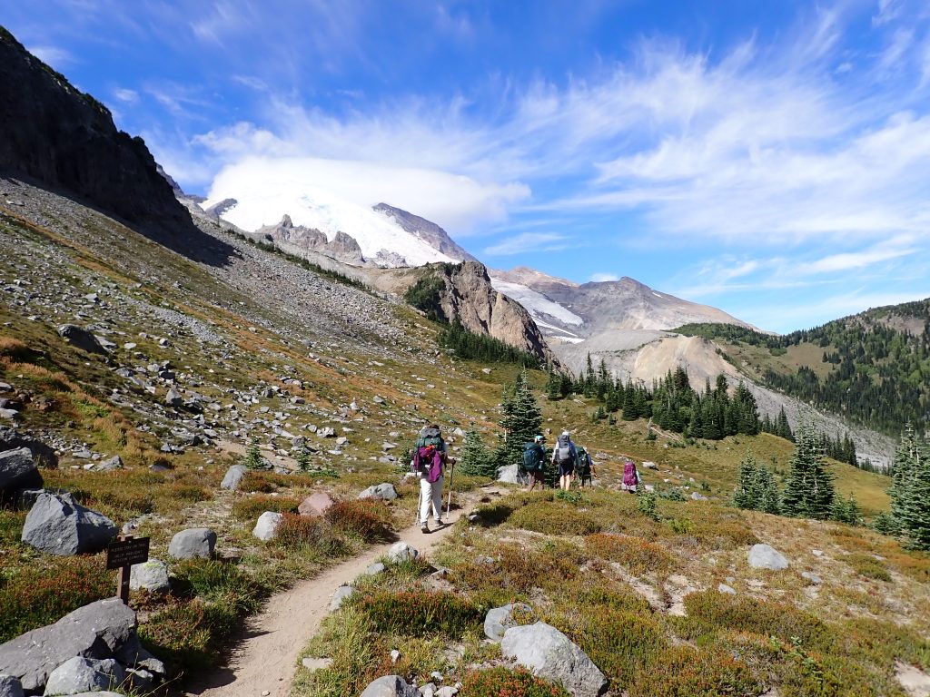
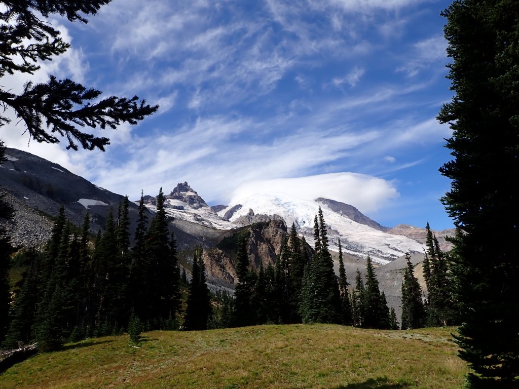
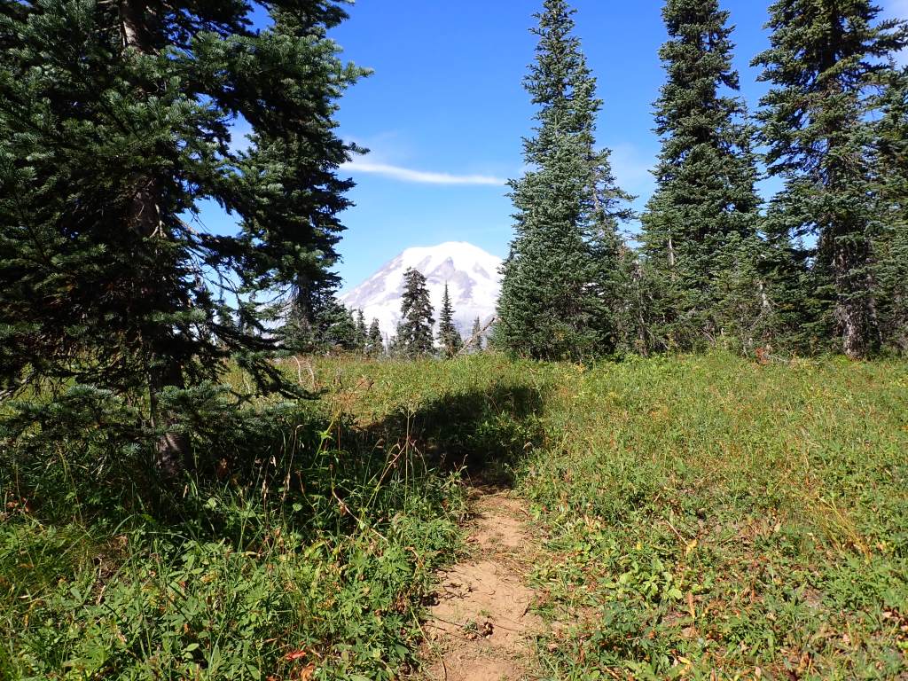
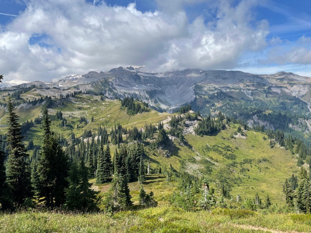
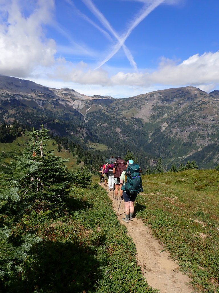
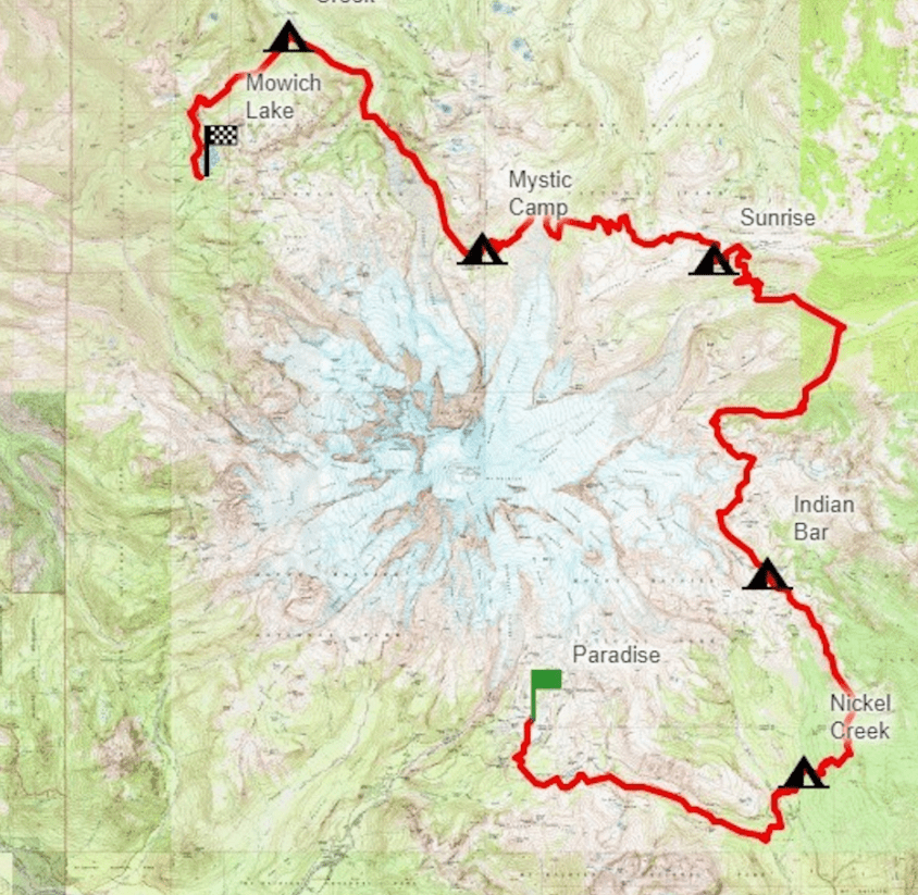
Today we would hike from the Indian Bar Camp up about 2,000′ to the Panhandle Gap, drop back down to Summerland Camp and then out to the Frying Pan Trailhead for a total of 9 miles. Then, the van would pick us up and drive us up to Sunrise Visitor Center where we would resupply and then hike another 1+ mile to our next camp at Sunrise. As this day was already over 10 miles, the itinerary had us skip an additional 5.9 mile (very steep) section that we would have had to do at the end of the day. No complaints here!
Of course, if I intend to be able to “claim” the entire Wonderland Trail, in addition to finishing the west side, I will have to hike this missed section – hopefully with only a small day pack!
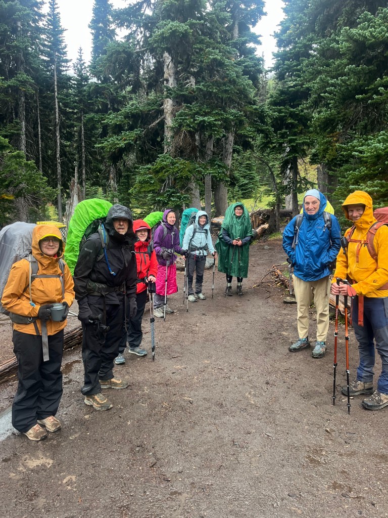
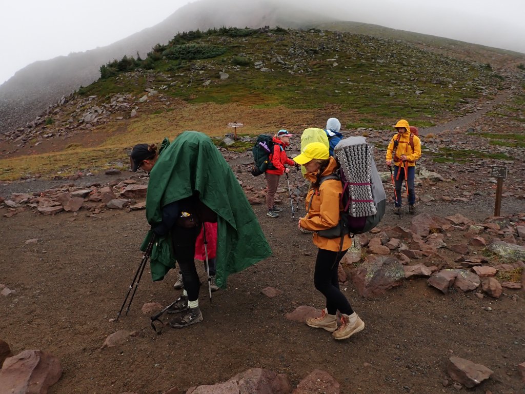
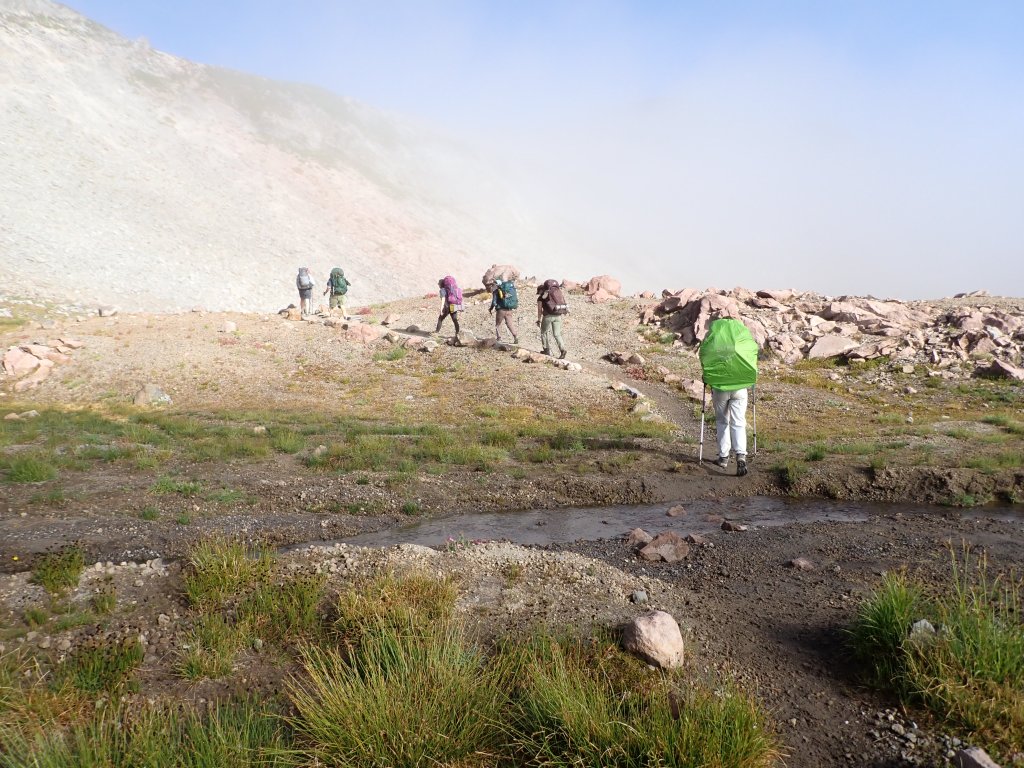
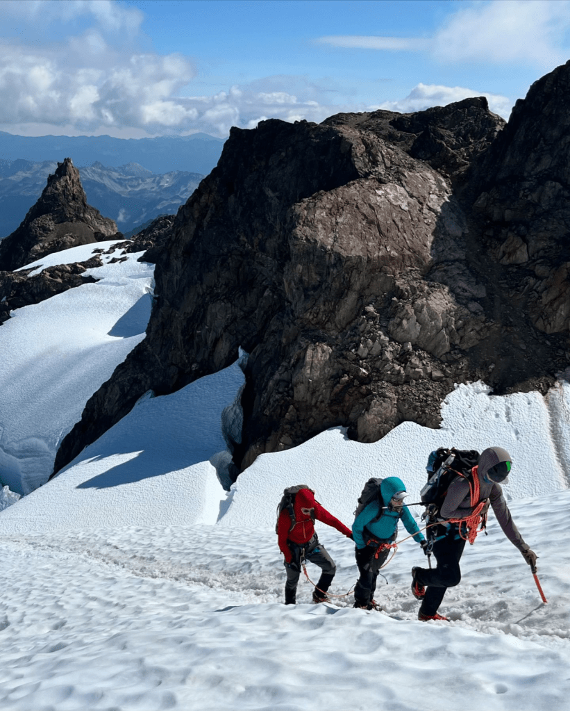
The day started sort of foggy and overcast and most of the team had pack covers or ponchos to protect from the drizzle and rain predicted for this afternoon. All the pack covers were colorful and as we hiked uphill all I could think about was the movie, “Gorillas in the Mist.”
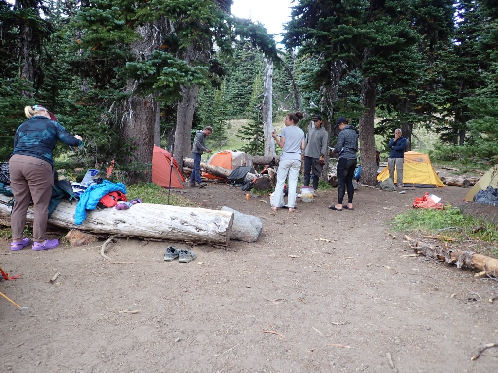
We made it to camp before any rain started but we were pretty diligent about not putting our tents in any sort of drainage path!
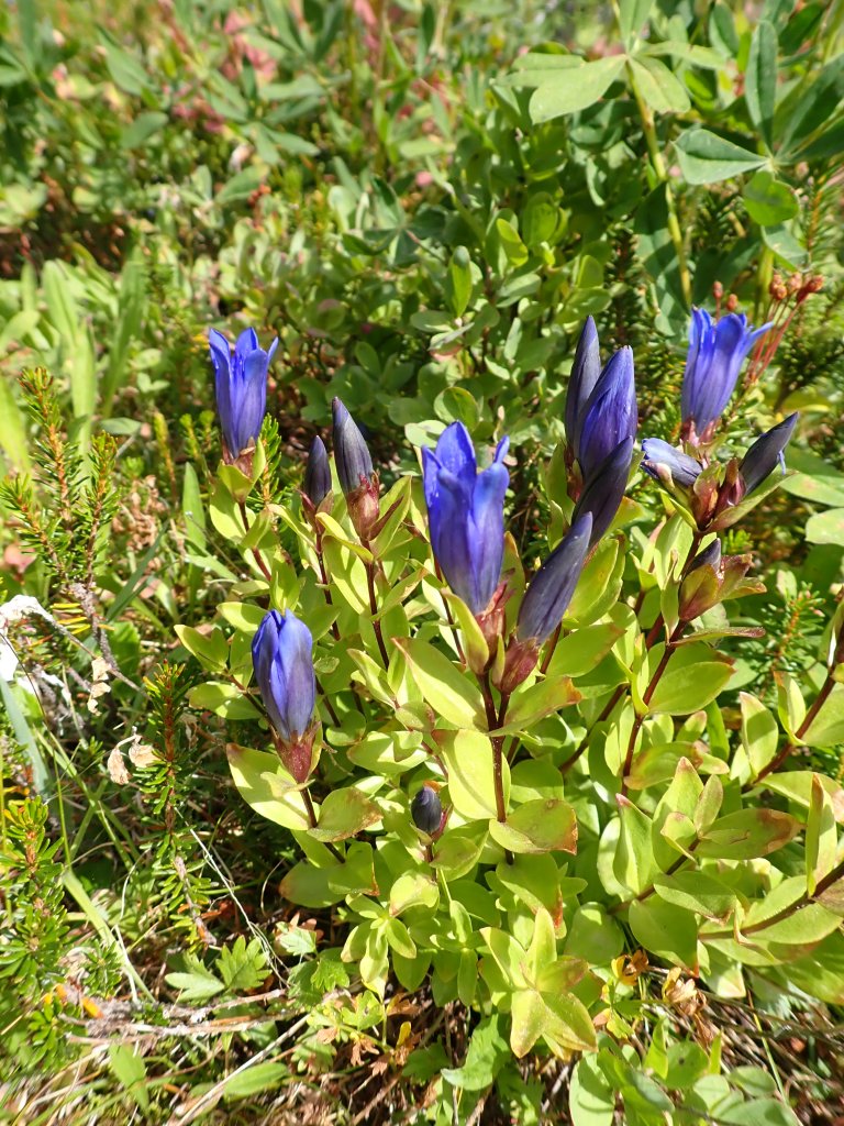
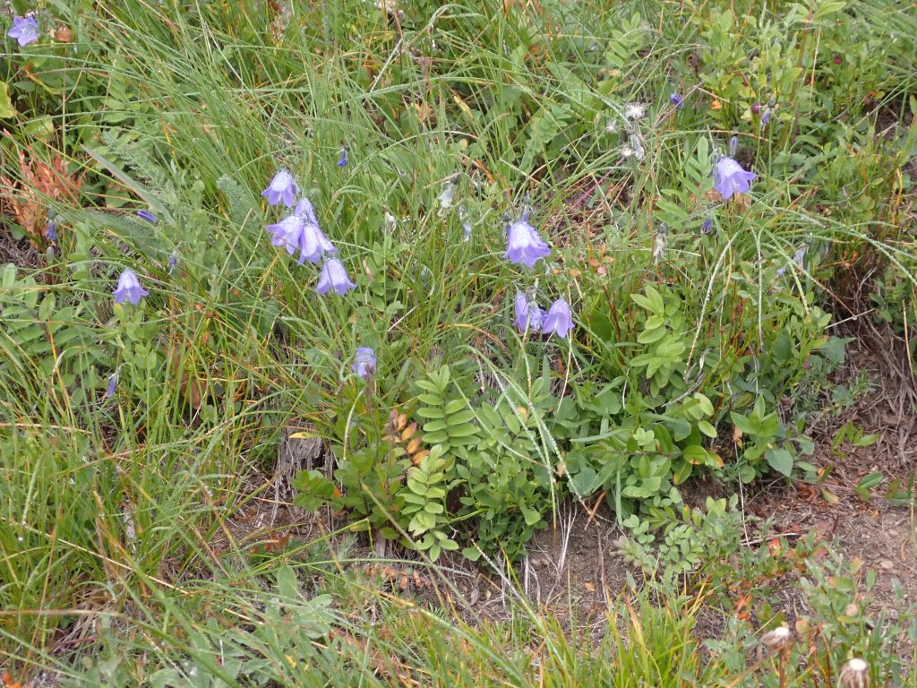
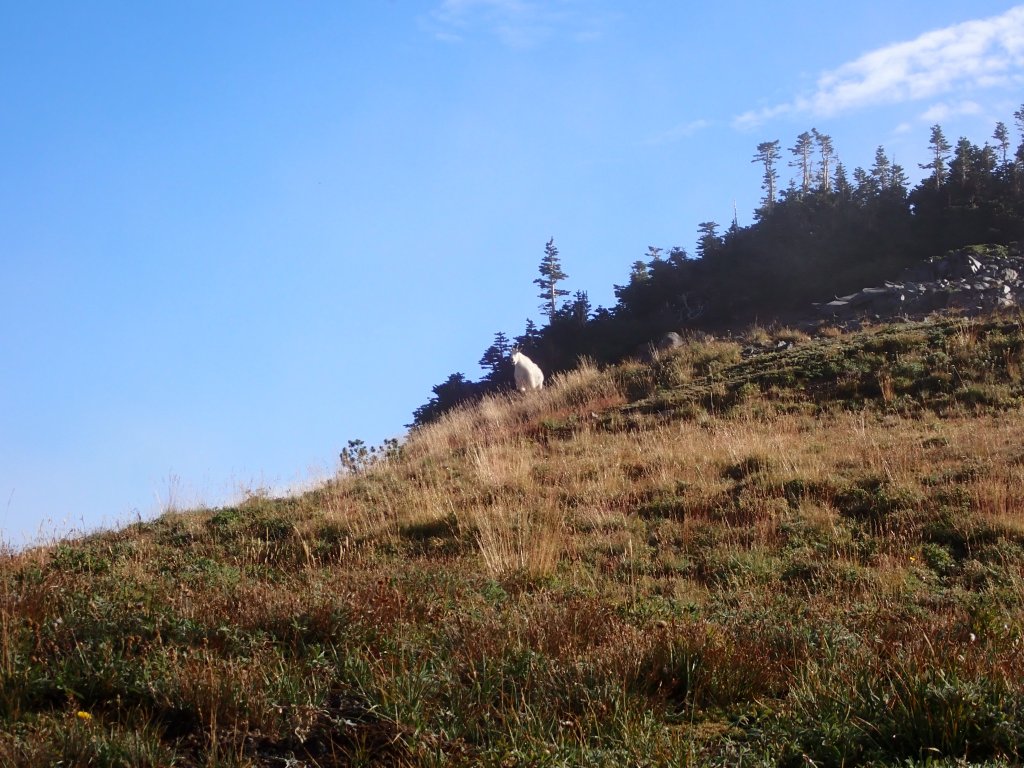
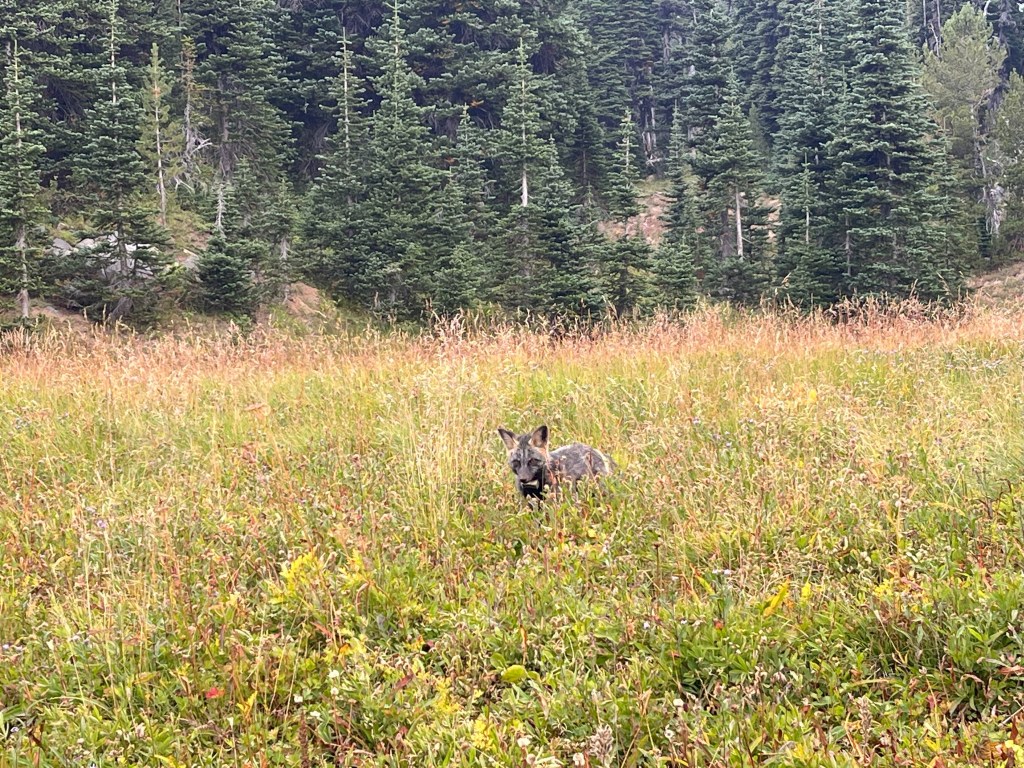
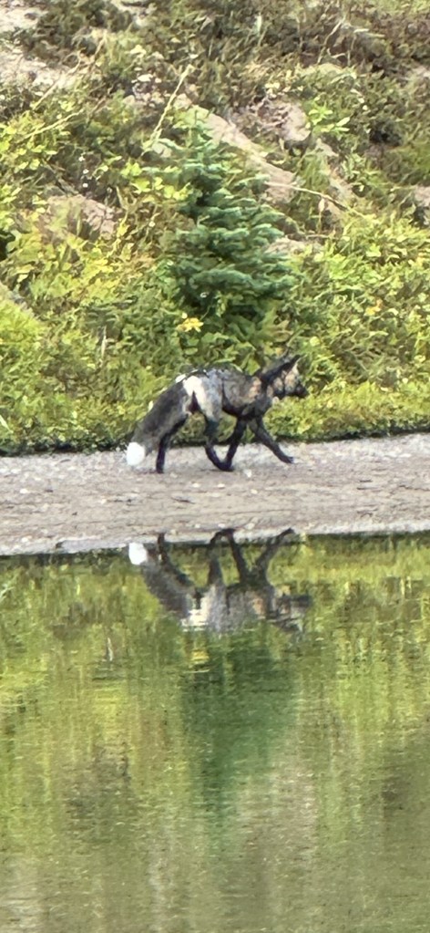
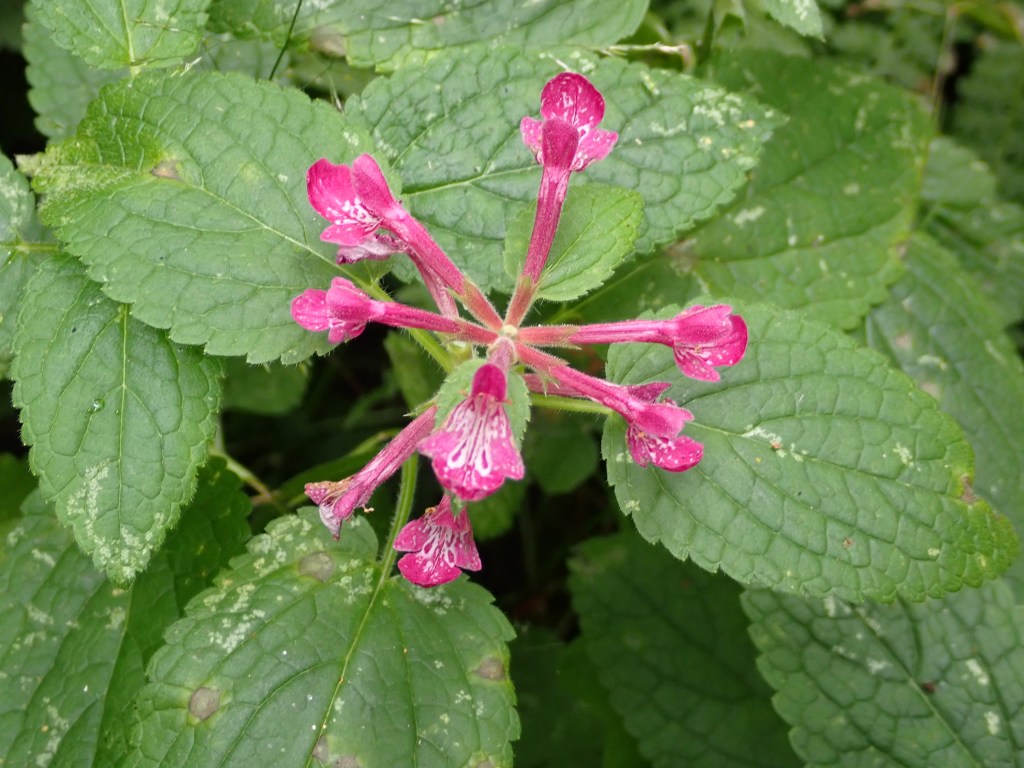
Although most of the flowers were past their prime – there were a few still holding on.Of course, if it was purple, I took a picture of it!Action shot – pretty steep right out of Indian Bar Camp.Looking up at the Frying Pan Glacier – or what is left of it …As we approached the highpoint of today’s hike, Panhandle Gap, the mist finally started clearing. Gorillas in the Mist?At the top of Panhandle Gap. A welcome break to take the pack off for awhile!We saw a couple of mountain goats on this trip. This one and his buddy were pretty wary and took off soon after the photo was taken.Nice lenticular clouds starting to form over the summit.Our trail winds down the rocks towards the lake – you can barely see two people standing below close to the shore.Not too many log crossings today.Gorgeous scenery today – enhanced by the neat cloud patterns.Just around the corner from Summerland Camp.Another break at the bottom of the hill at Summerland Camp.Sunrise CampInteresting coloring on this fox – also has a radio collar on. He was seen successfully hunting in the grass by some of our group.Same fox – This was taken from someone’s camera phone from across the lake so sort of blurry.
Overnight two of our group decided to throw in the towel. It was quite surprising as one had done the entire Wonderland Trail the year before and the other had many years of hiking and climbing under her belt. Not sure the whole story but it is a difficult undertaking – not to be underestimated! We did hear that last year there were only two individuals signed up and one quit after Day 2. HMMM. Zach hiked back with the two to a trailhead about a mile before the Nickle Creek Camp, called the office, waited a couple hours for the hikers to be retrieved and then caught back up to us later in the day – long day for him!
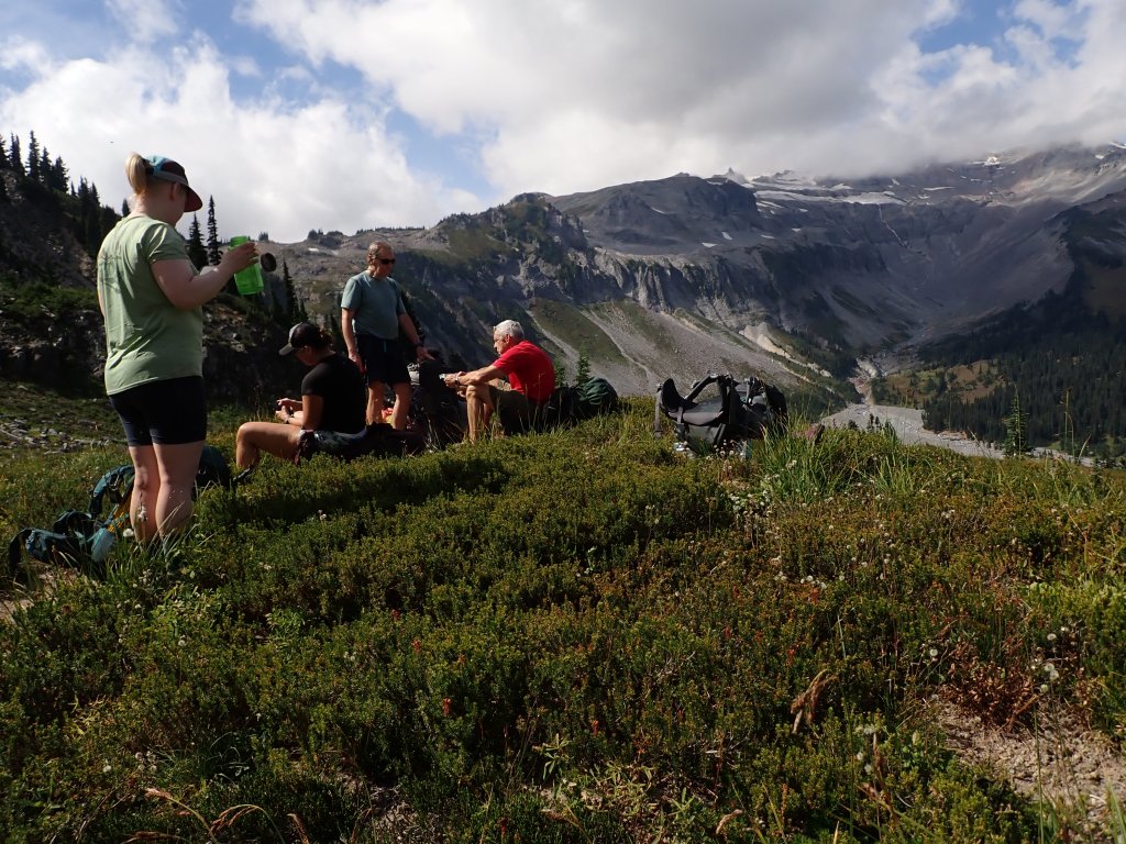
Today James lead the hike from the Nickle Creek Campground to Indian Bar Campground. It was the shortest of the entire trip at 6.7 miles but steep – over 3,000′ of elevation. It was nice to take it a bit slower and arrive in camp before the sun went down. The trip took us up several ridges which gave us great views of Mt. Rainier. The clouds started rolling in off and on so we suspected that the forecast for rain the next day might hold true.
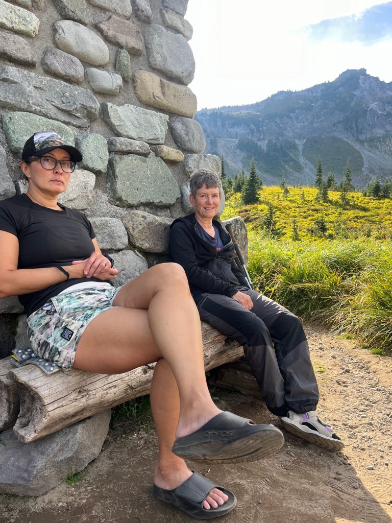
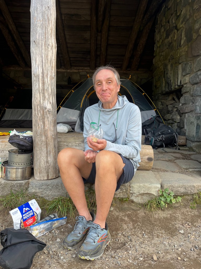
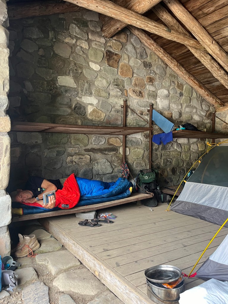
Once we made it down to Indian Bar, some of the group set up inside the permanent shelter with Steve 2 being the bravest one, just laying his sleeping bag on the wooden bunk. A couple of us chose to sleep outside as the “m” word was mentioned more than once. Mouse, that is … I have never been a fan of “cowboy” camping as I always imagine mice running back and forth over my face while I sleep – no thank you!
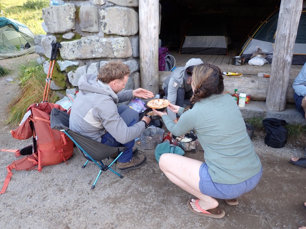
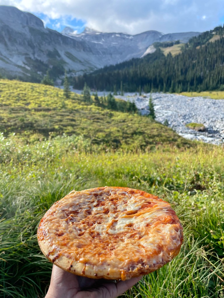
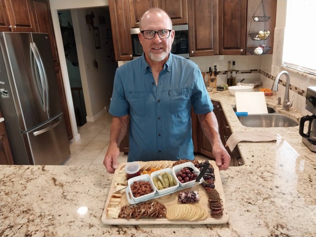
Dinner was custom-made, personal pan pizzas using Bob oli crusts. YUM!
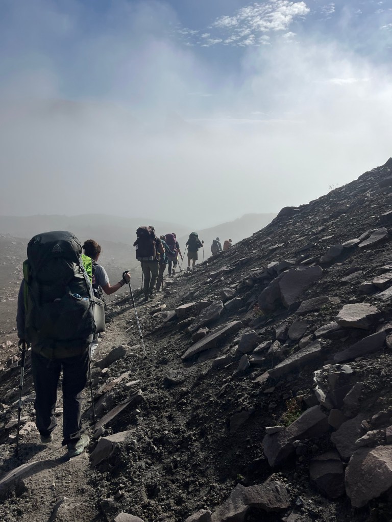
The ridgeline trail had several “false” summits – every time we reached the top, we thought we were going to head down the hill to Indian Bar! Mt. Adams in the background.A quick peek at Mt. Rainier before the clouds started appearing.Mt. Rainier hidden in the clouds now.Last break before heading down the hill to camp for the night.Today’s trail was pretty decent – not a lot of rocks, roots or scree to negotiate.Indian Bar camp – structure in the middle of the photo is the group campsite we used.Relaxing with CarolSteve 1Brave Steve 2Personal Pan Pizza!
An early morning gear check at the Mountain Madness office and then a 2.5ish hour van ride to the trailhead and we were off to complete a 53 mile section of the Wonderland Trail.
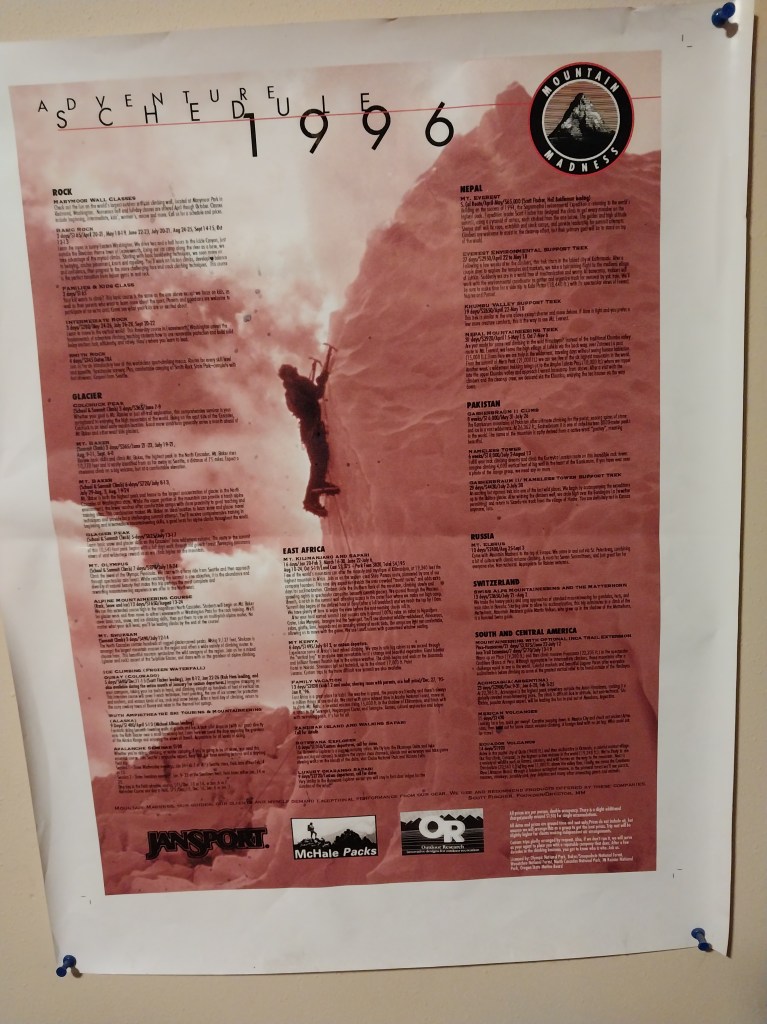
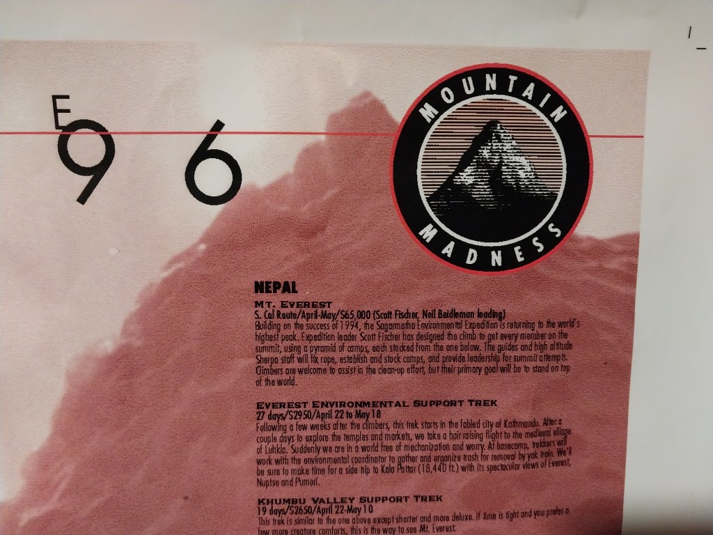
An interesting note that the office was filled with memorabilia from the early days when Scott Fischer was the owner. In fact, there was an old poster that showed all the trips that were scheduled in 1996, including the trip to Mt. Everest where Scott and seven others died trying to descend from the summit during a blizzard. Another interesting note was that of the nine clients for our trip, many were so young that they did not know anything of the disaster or the history of Mountain Madness. Only one asked how old I was … GRRRR
Poster showing all the trips that Mountain Madness had scheduled for 1996.
This was the first adventure that I have taken with Mountain Madness and it was a great time – the guides were competent, funny, great cooks, and had a great pace for clients with fairly large packs. They actually cooked about 1/2 of the meals vs all freeze-dried and we were treated to custom pizzas, pesto chicken pasta, chicken and vegetable curry, savory pancakes and breakfast burritos. Although I burned a lot of calories hiking the 53 miles, I certainly did not lose an ounce of weight! And the rest of the hikers were great – the group got along very well and I think in my 20+ years of going on these type of group trips, this was the best group (and the largest, to boot!) They came from all over – MN, WA, GA, MI and UT and we all connected immediately.
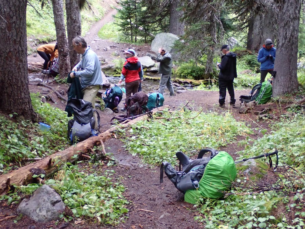
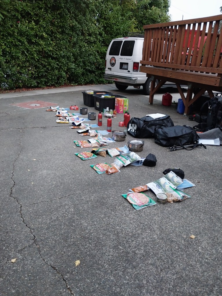
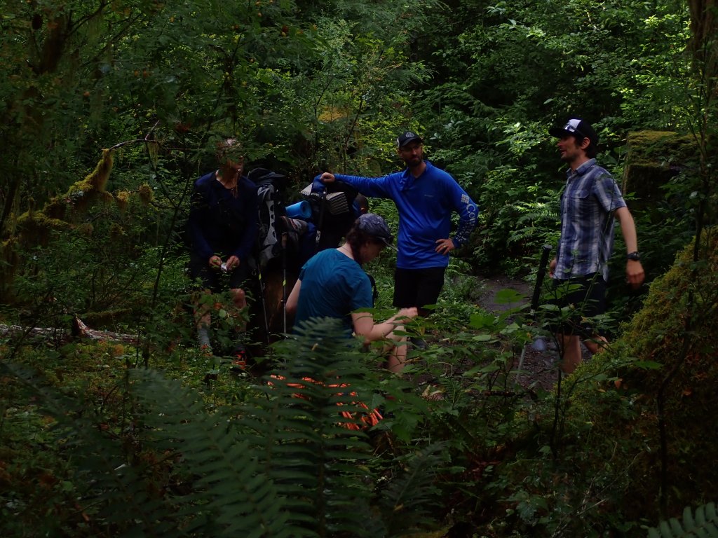
Group gear divided into nine piles – we were required to each take a pile and add it to our pack.Lead Guide Zach, Steve, Susan, Melissa, Carol, Tami, me, Steve, Steve’s daughter Elizabeth, Ashley and Head Chef, James
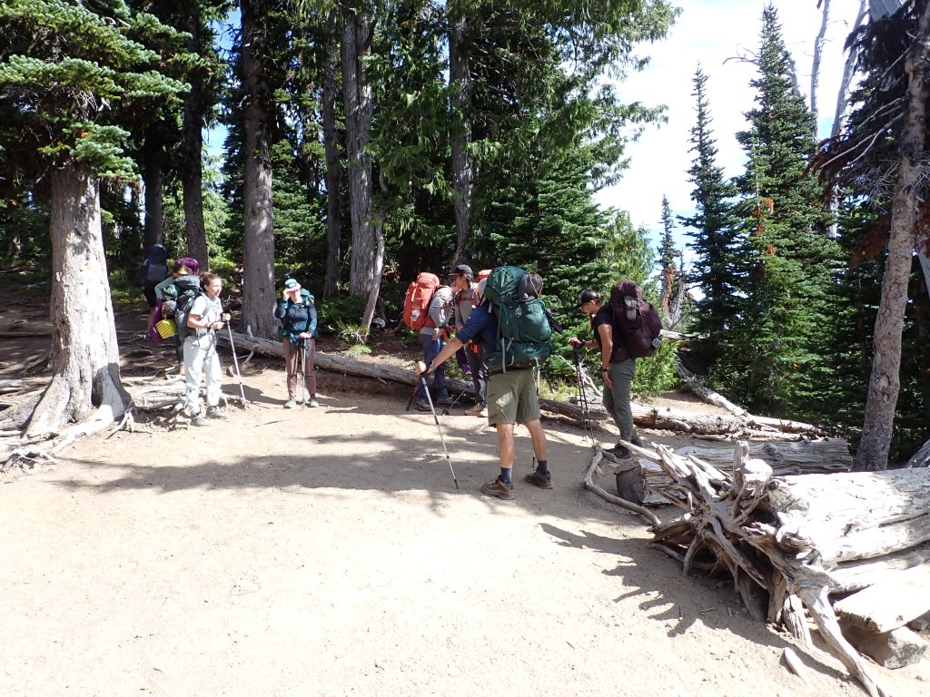
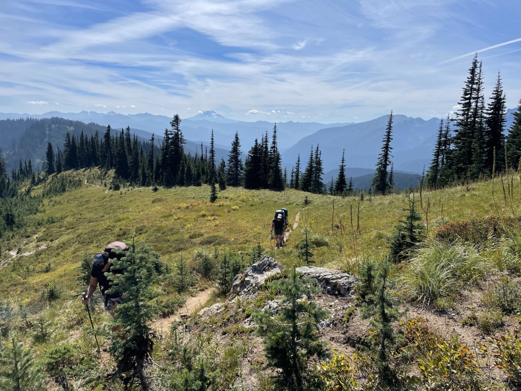
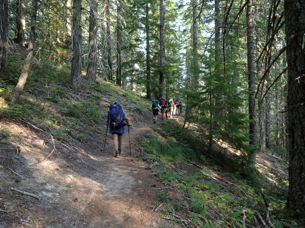
Our first day was actually going to be sort of a long day – we offloaded the van and adjusted our packs and set off from the Mt. Rainier National Park Paradise Visitor Center. The hike was predominantly downhill for 11 miles to the Nickle Creek Campground and it was dark by the time we got all the tents set up and organized. James ended up cooking in the dark! As the posted itinerary only indicated 8.9 miles we soon realized that you can’t believe everything you read on the internet! HAHA Many more inconsistencies were noted but hey, that’s why it is called an “adventure!”
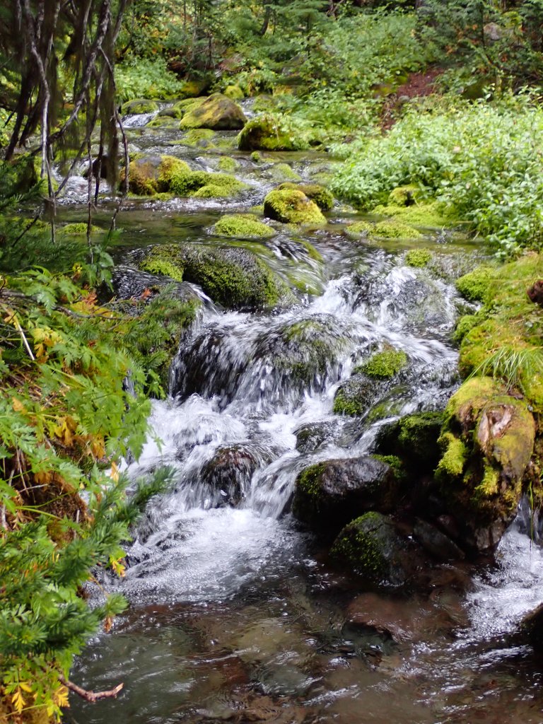
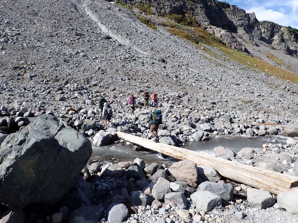
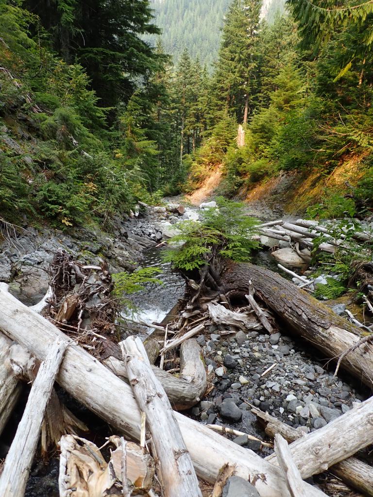
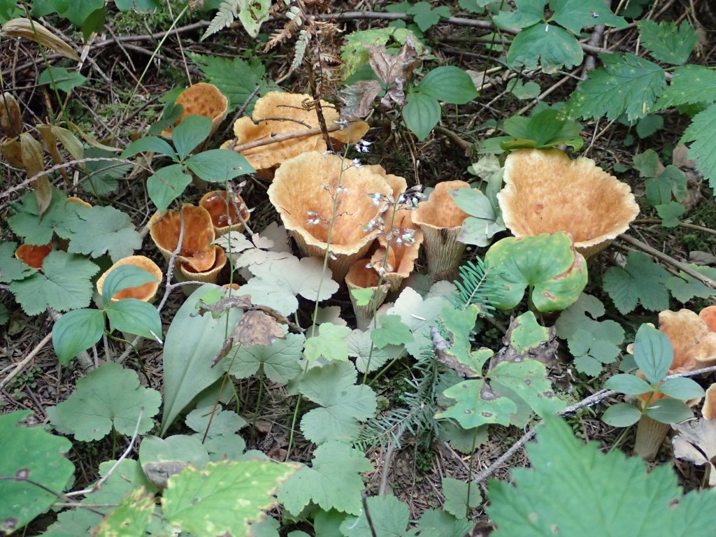
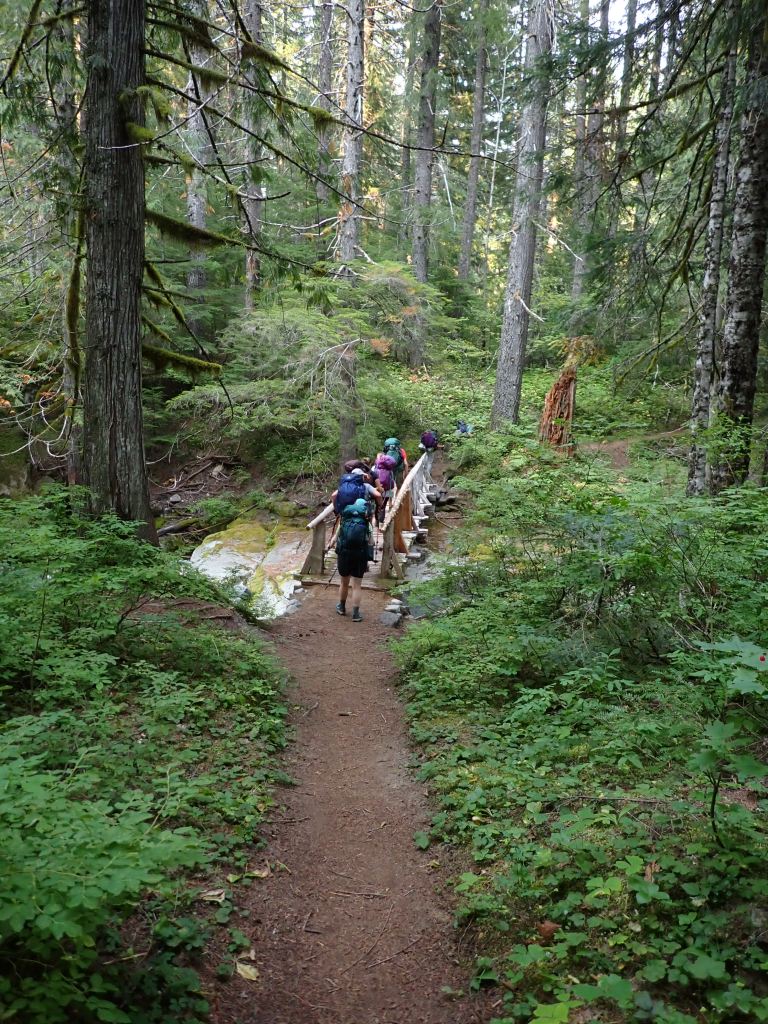
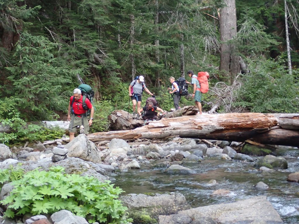
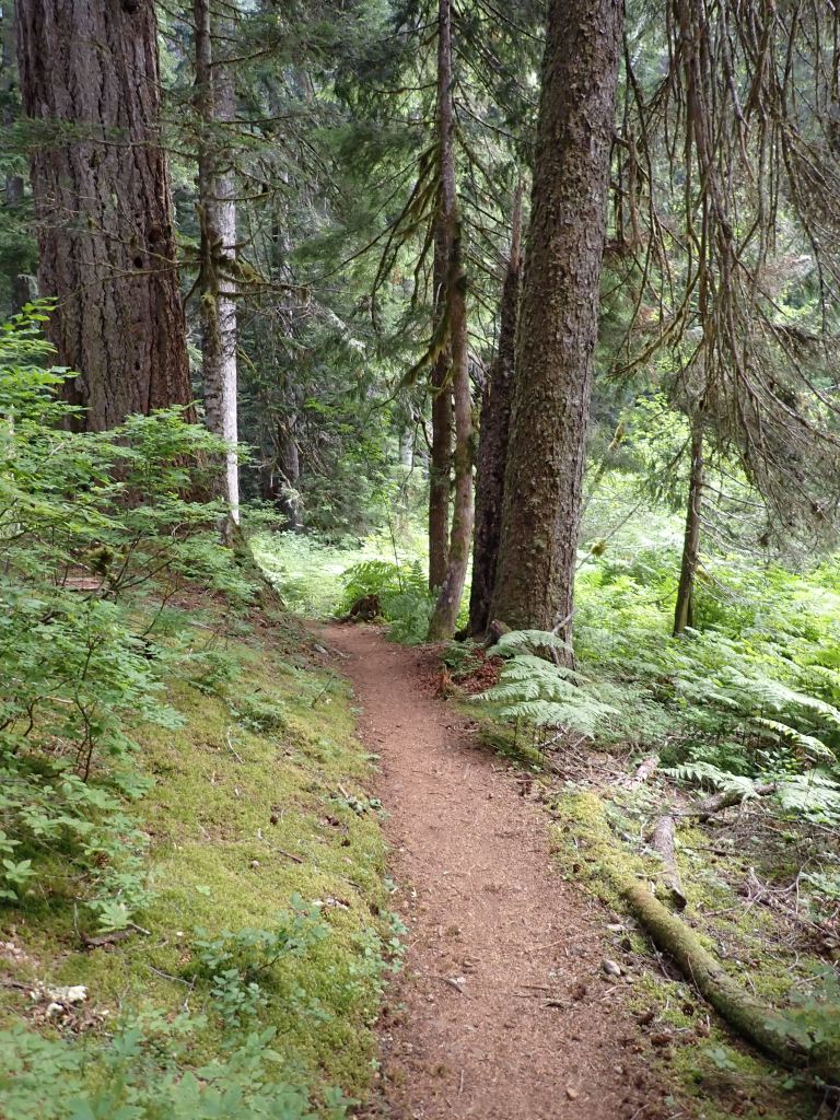
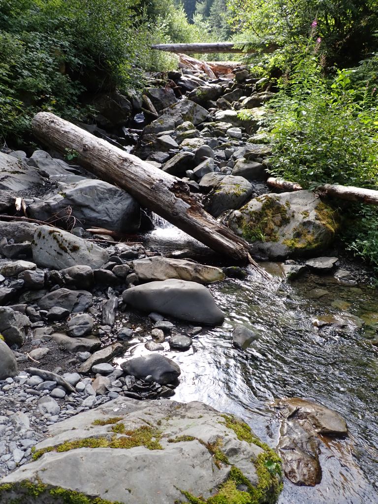
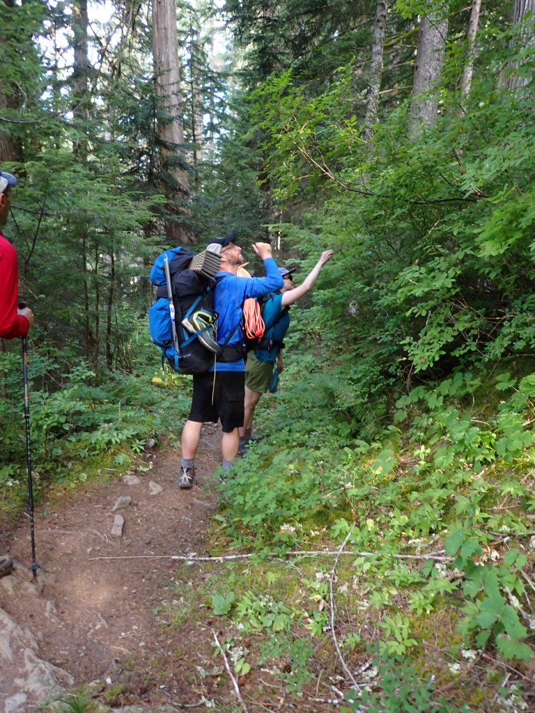
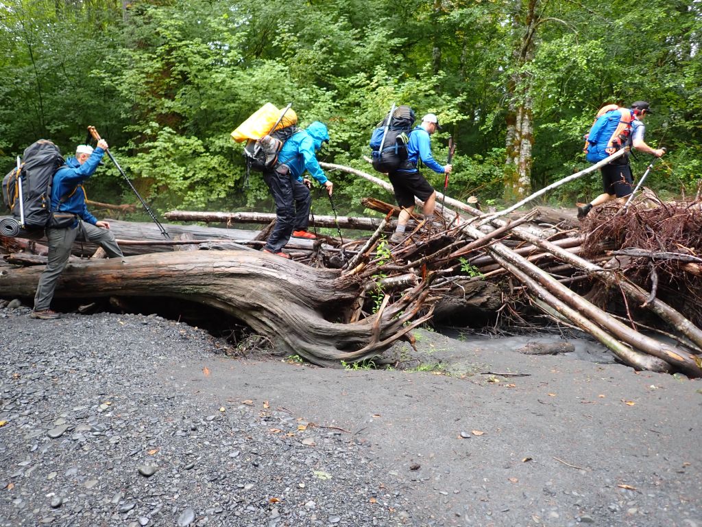
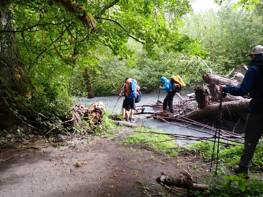
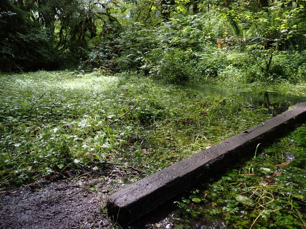
A few gentle, rolling hills to tease us!First of many log crossings on the trip. A little bit of smoke in the air gave a slight orange tint to some of the scenery.There were so many mushrooms out that if Joel was along he could have made an entire mushroom calendar (much to Natalie’s dismay!)Or he could have made an entire calendar of waterfalls!Getting close to camp – another log crossing – this one without handrails.
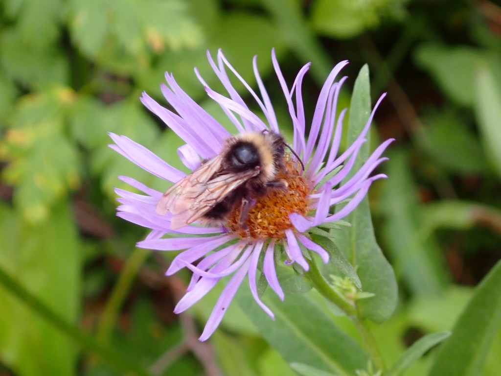
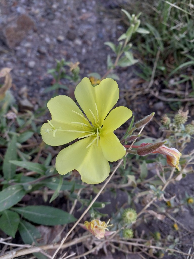
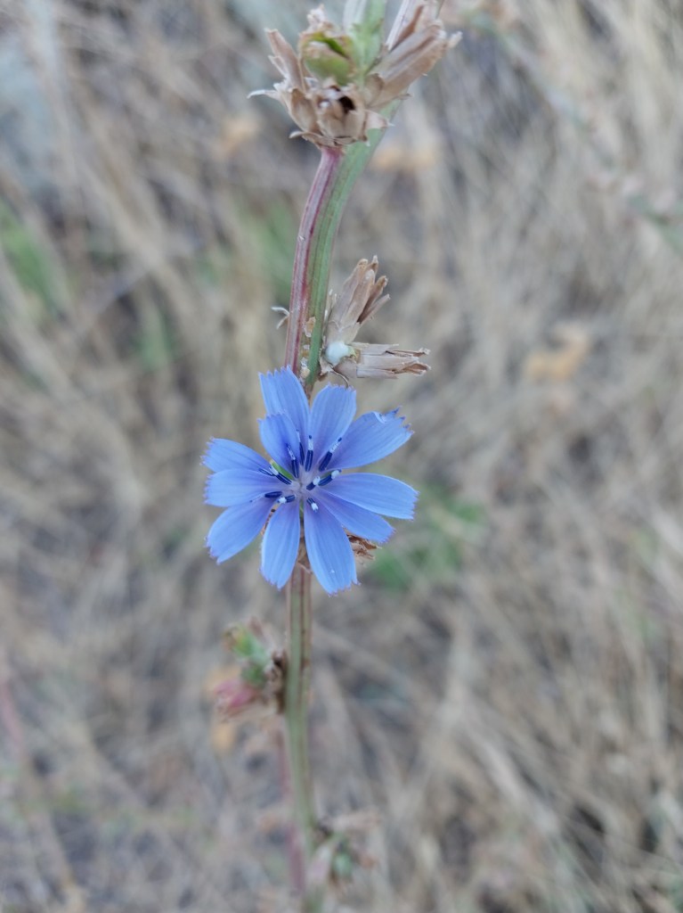
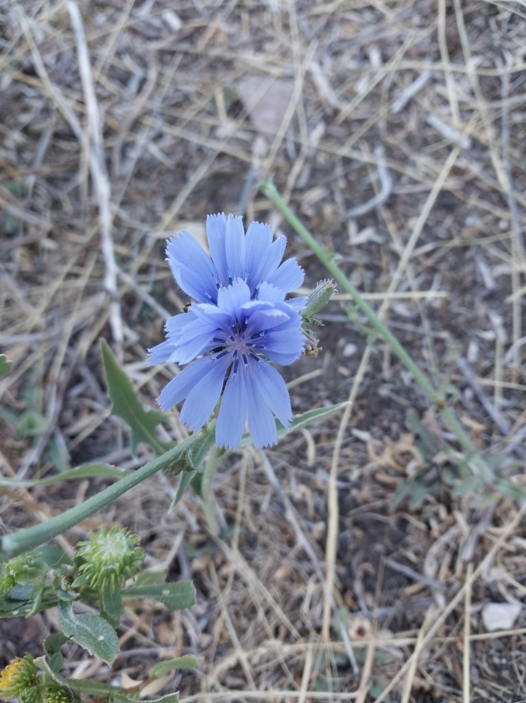
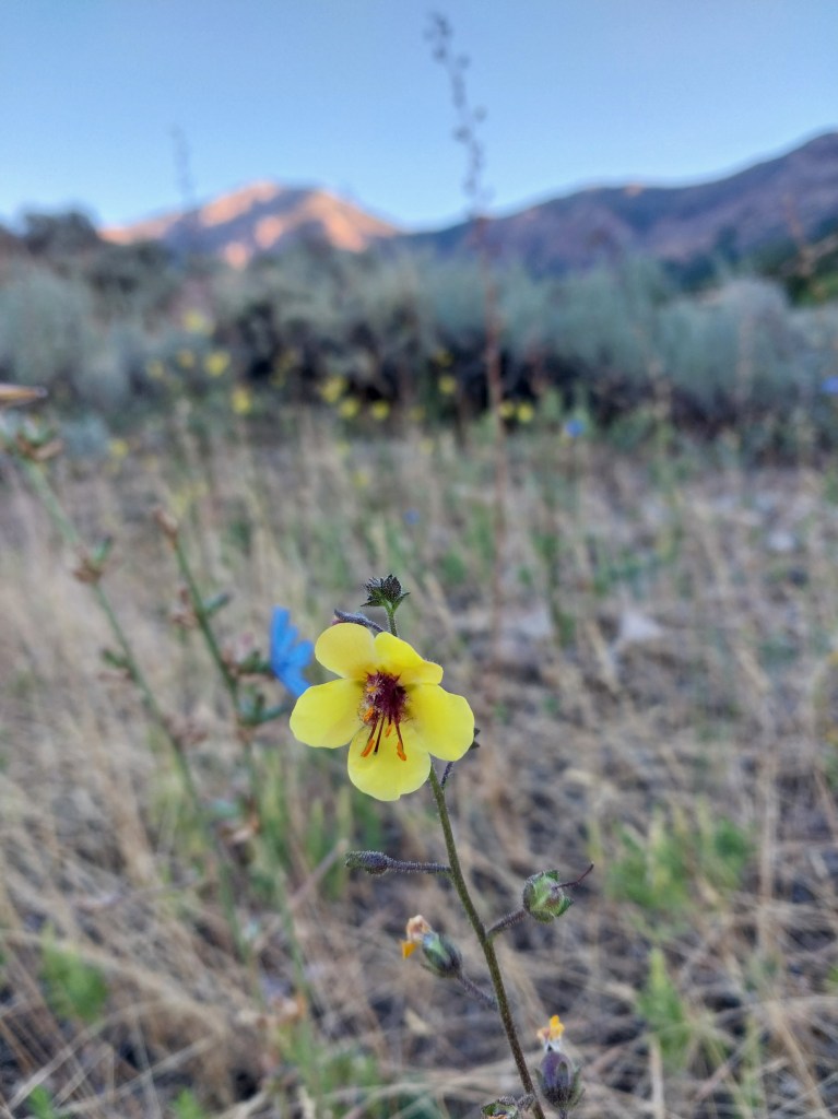
I took a short hike over the weekend and was quite surprised to see many of the wildflowers by our house still in bloom. The trees are starting to get a few hints of red and gold so Fall seems to be on its way!
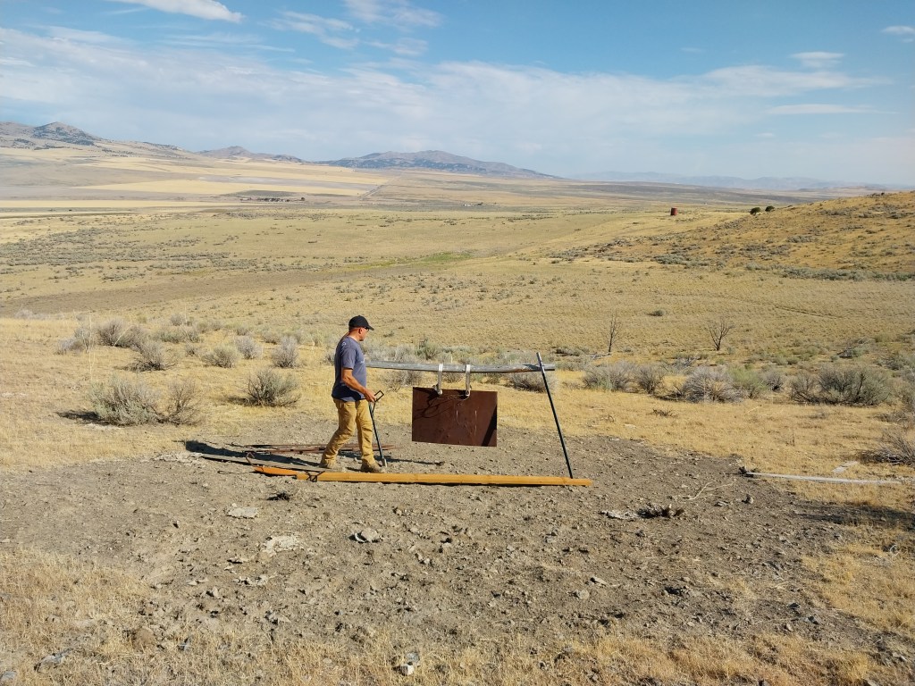
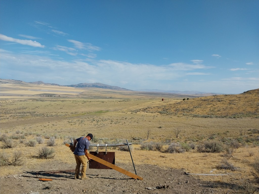
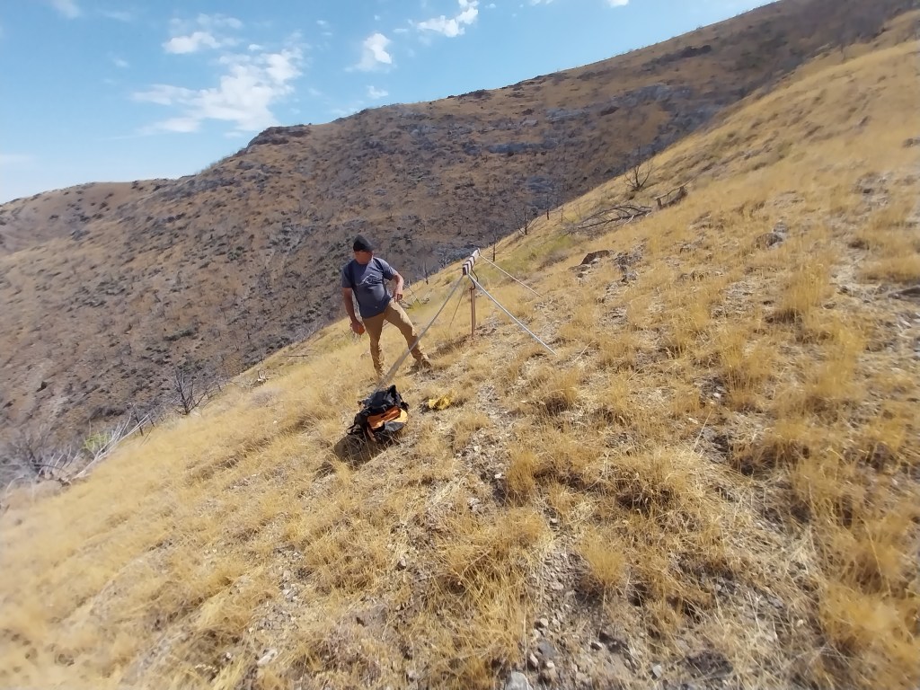
All of the employees at WRCNU came down with COVID over the weekend so they basically shut the doors to all the volunteers for this week in order to ensure no one else got sick. Due to that, I had the day “off” yesterday and agreed to help Joel with some of the target work that he is involved in at the Golden Spike shooting range. A lot of walking and measuring ensued as Joel needed to work on some of the longer distance (mile) targets!
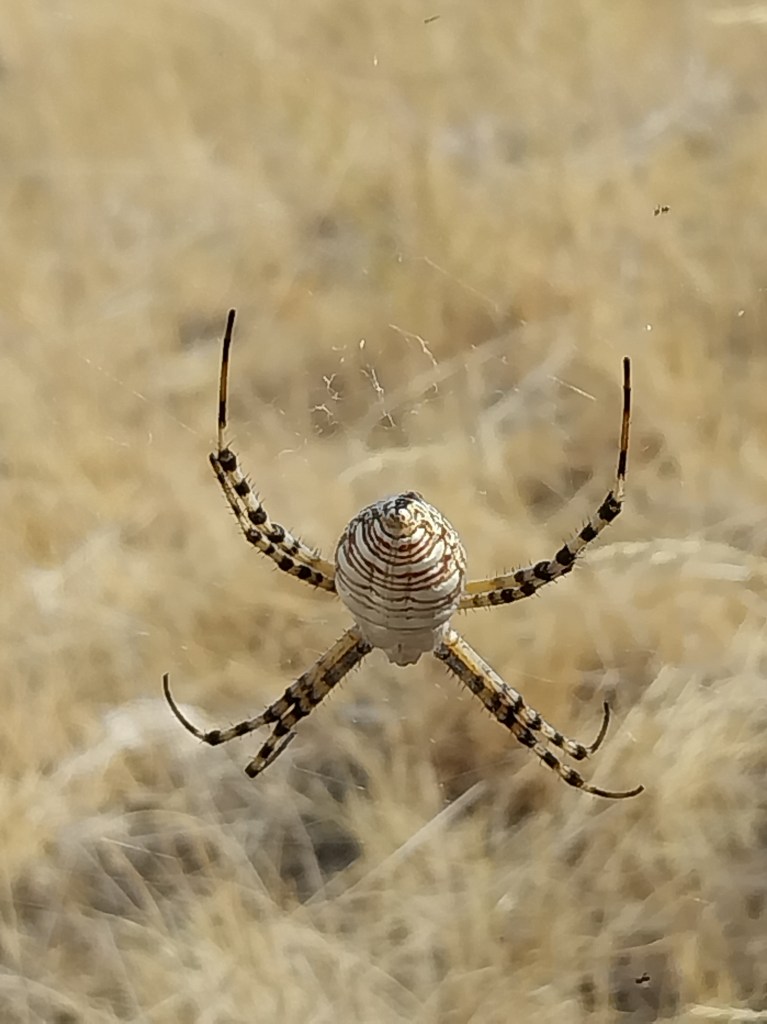
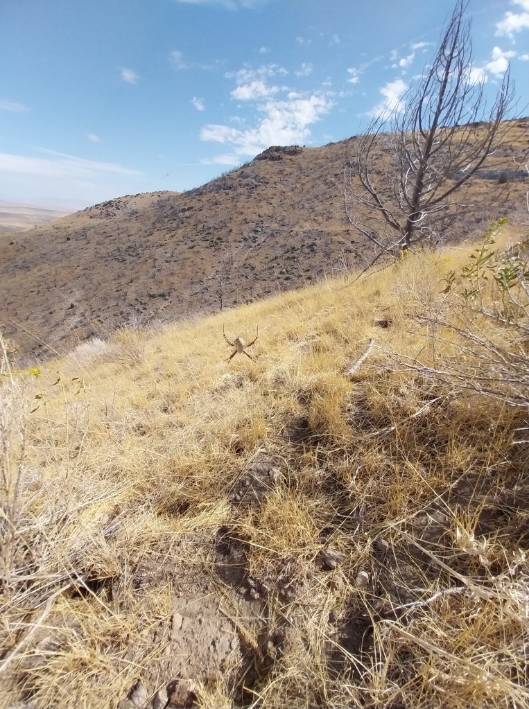
Sagging 2″ x 4″ framing needed to be replaced on this target.Just about walked right into this guy’s web – you can see it in the photo below. The spider was easily 2 1/2″ – 3″ long and looked like it was planning on taking down small birds!Second 1770 yard (mile) target needs new paint and legs.
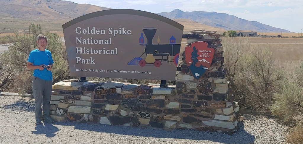
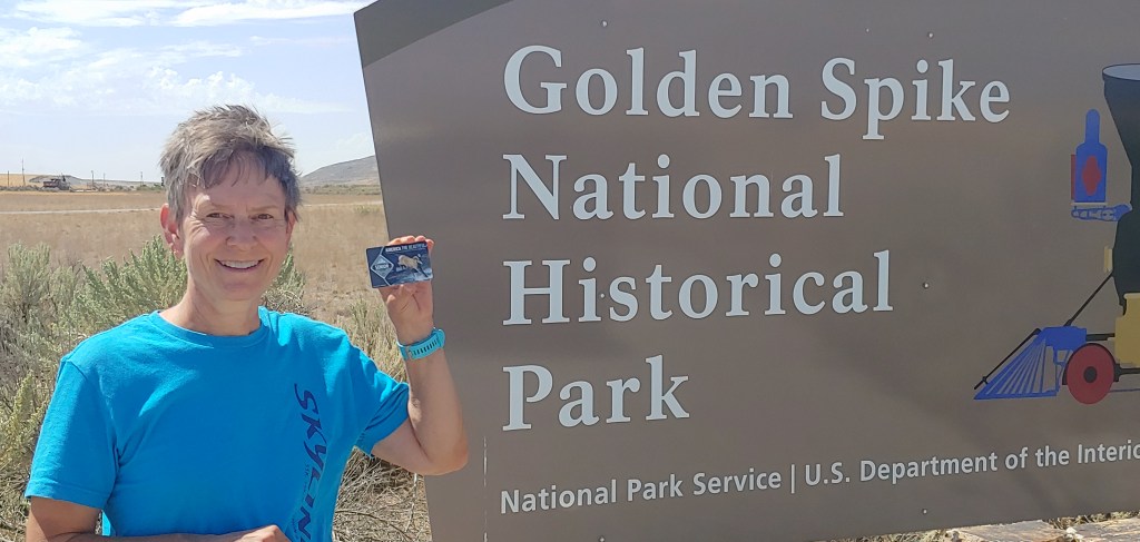
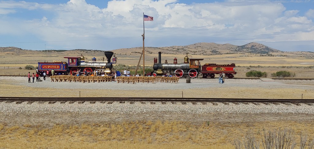
After we were done with the target work, we drove just about a block down the road to the Golden Spike National Historic Park where I could buy my Lifetime Senior Pass. At $80 it seems like a great deal! They were just setting up to do the historic reenactment of the driving of the last spike to connect the West Coast and East Coast by rail. We had seen this before and it was 90degrees with no shade so we opted to hit the road.
The gun range where we were working is in the upper left corner of the photo.
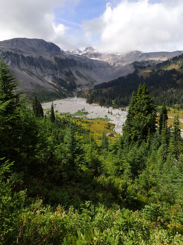
The weather report that we had gotten while still at the Hoh Visitor Center was now four days old. It had indicated potential rain on the last day and a half of our trip. We had experienced beautiful weather thus far and the promise of rain really didn’t concern us too much as we were on our way out. We were in a rain forest anyways so we should expect rain, right? We broke camp at a relatively leisurely pace and everyone seemed in good form after the grueling, 16 hour summit day.
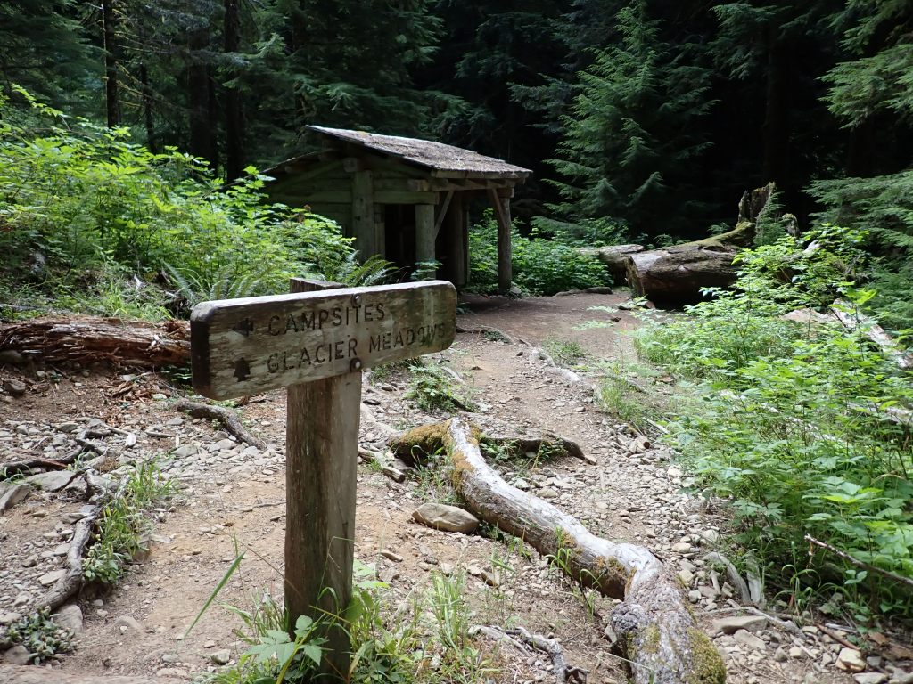
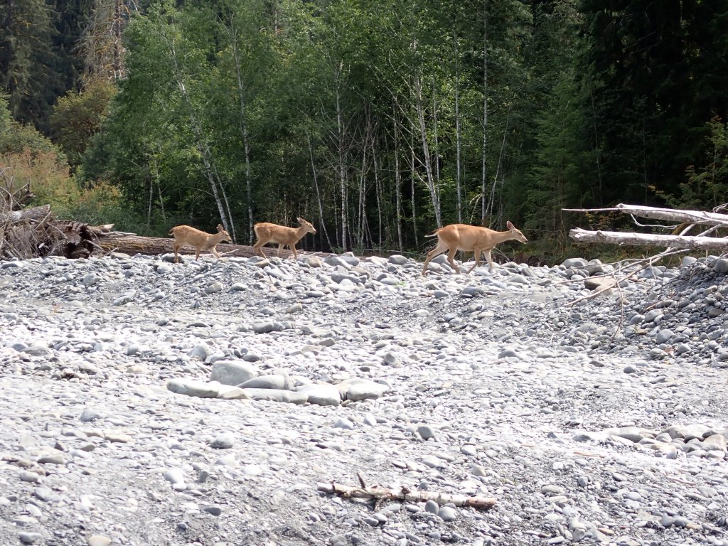
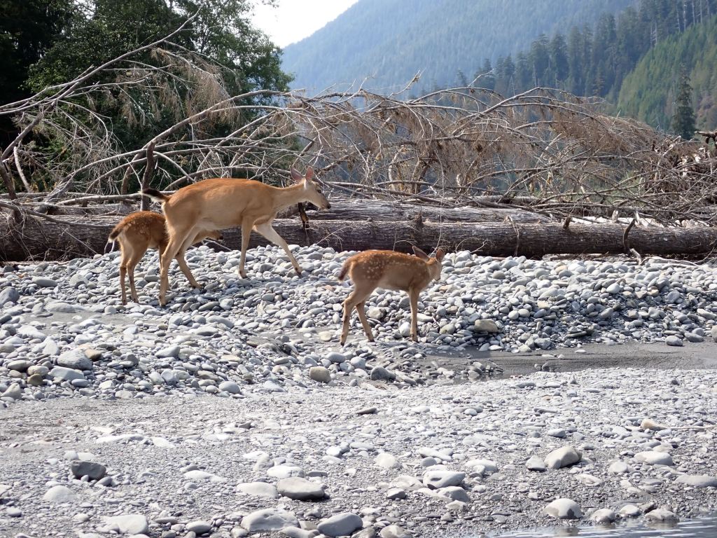
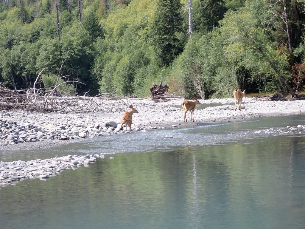
The first obstacle, about 1/2 mile out of the Glacier Meadows campsite, was the ladder. This time it was a climb up 1,700 feet on the ladder with a pack that was still heavy. Once that obstacle was conquered, we hiked mostly downhill to our camp for the evening at the Olympus Guard Station. We were able to get a group campsite fairly close to the Hoh River and spent several hours with our tired feet in the cold water. A mom and two fawns had the same idea as they wandered the river right in front of me – the Mom pooped on the bank and one of the babies peed in the river. Photo proof that you should always filter and sterilize your water, no matter how clean it looks!
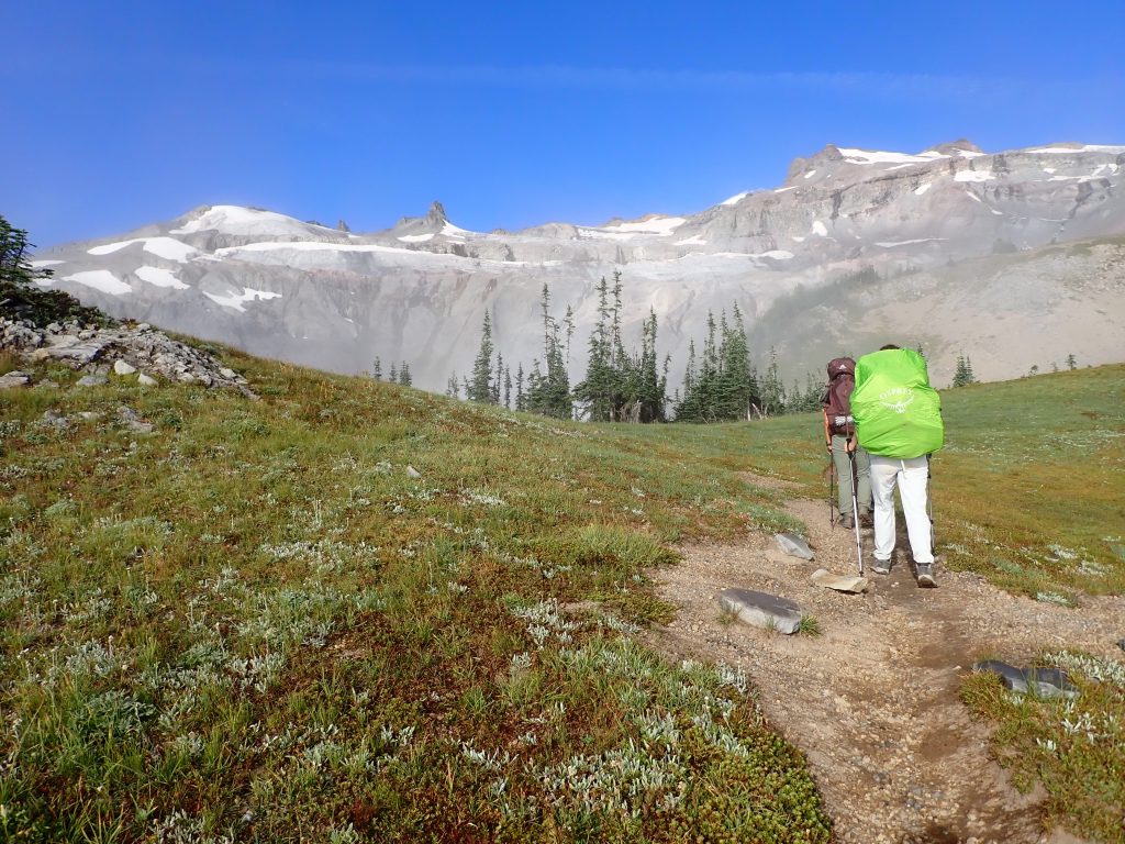
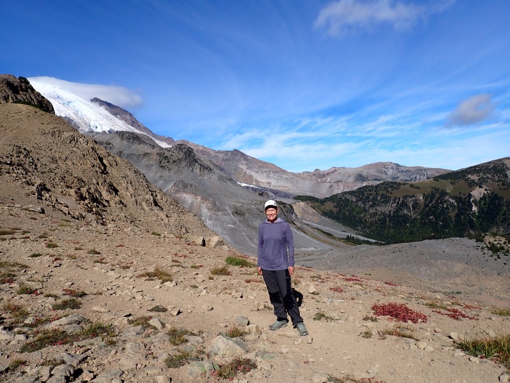
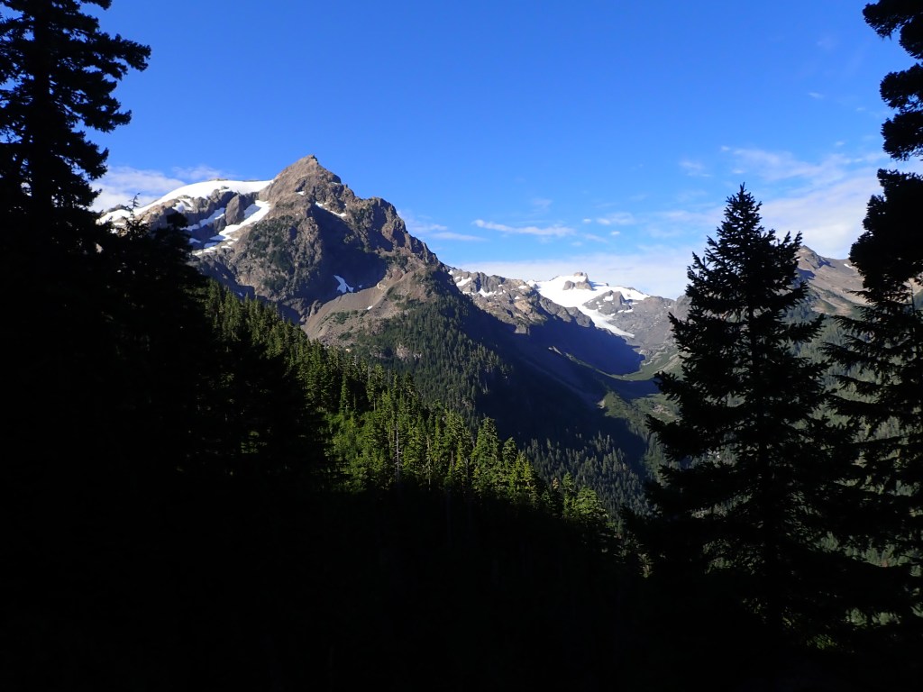
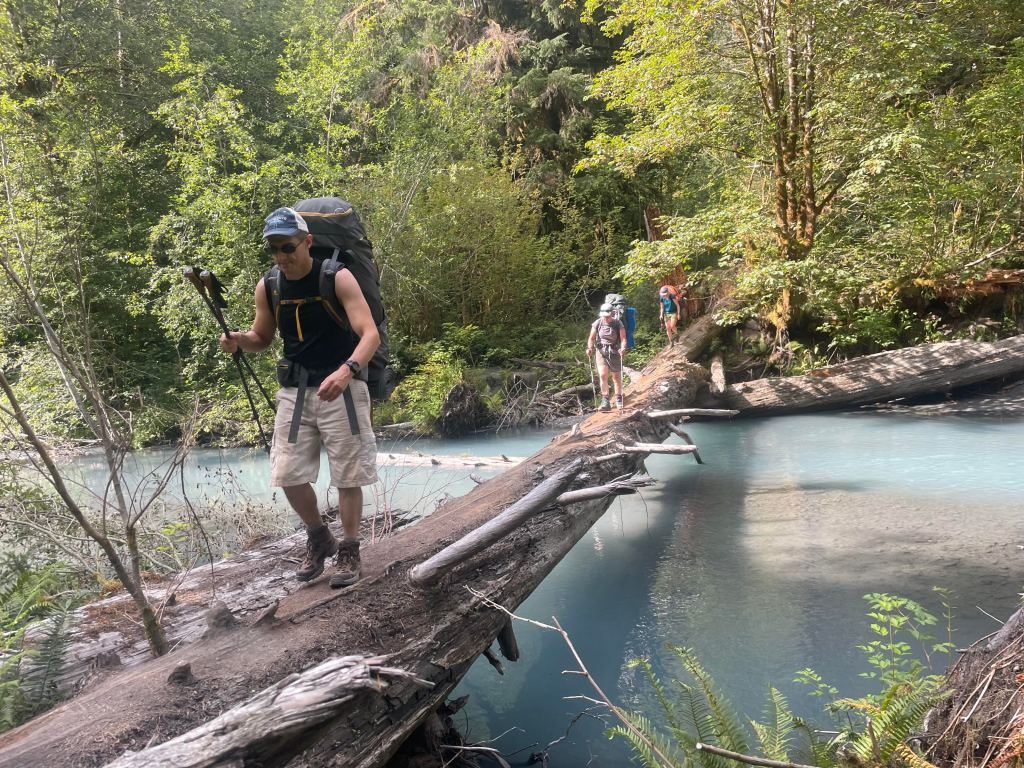
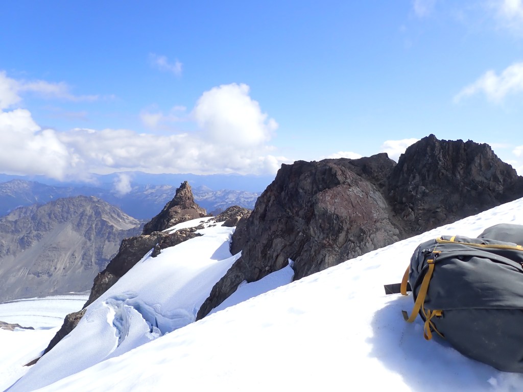
On the left hand side, the rounded feature covered with snow is the Snow Dome. The summit of Mt Olympus is not visible in this photo but is behind the Snow Dome.Ambro, me and Tatum crossing one of the two river crossings via very convenient fallen logs.View from the trail with Mt Olympus obscured by trees on the left as the clouds started rolling in.Beautiful, cushioned trail – so different than yesterday’s ice and scree.I see potential as another calendar shot – HAHAAnother beautiful days but clouds started looming as we go closer to camp.Taking a break en route to the next campsite and nursing the wasp stings. Some of our group seemed to be wasp magnets – three of us (me included) escaped any of the carnage, but between the others I think a total of 12 stings were tallied!
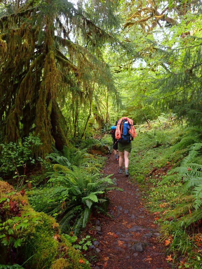
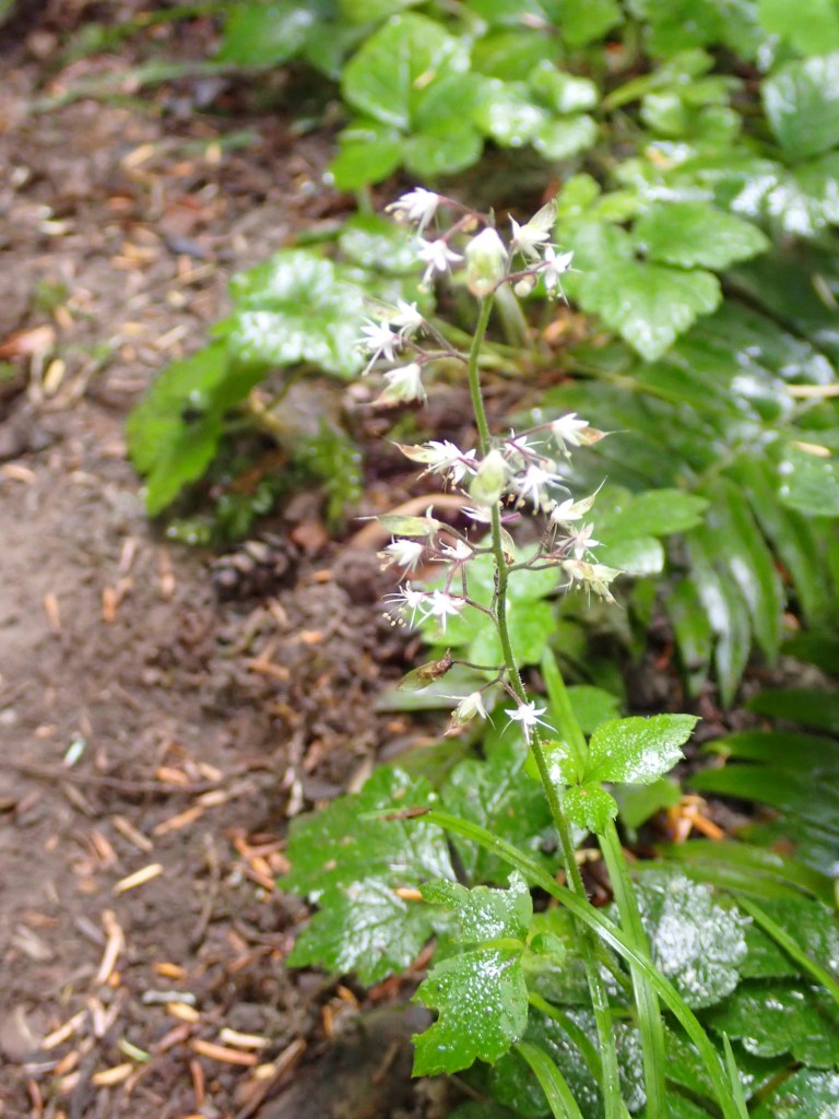
Abundant wildflowers, mushrooms, blueberries and huckleberries blanketed the sides of the trail all the way to camp.
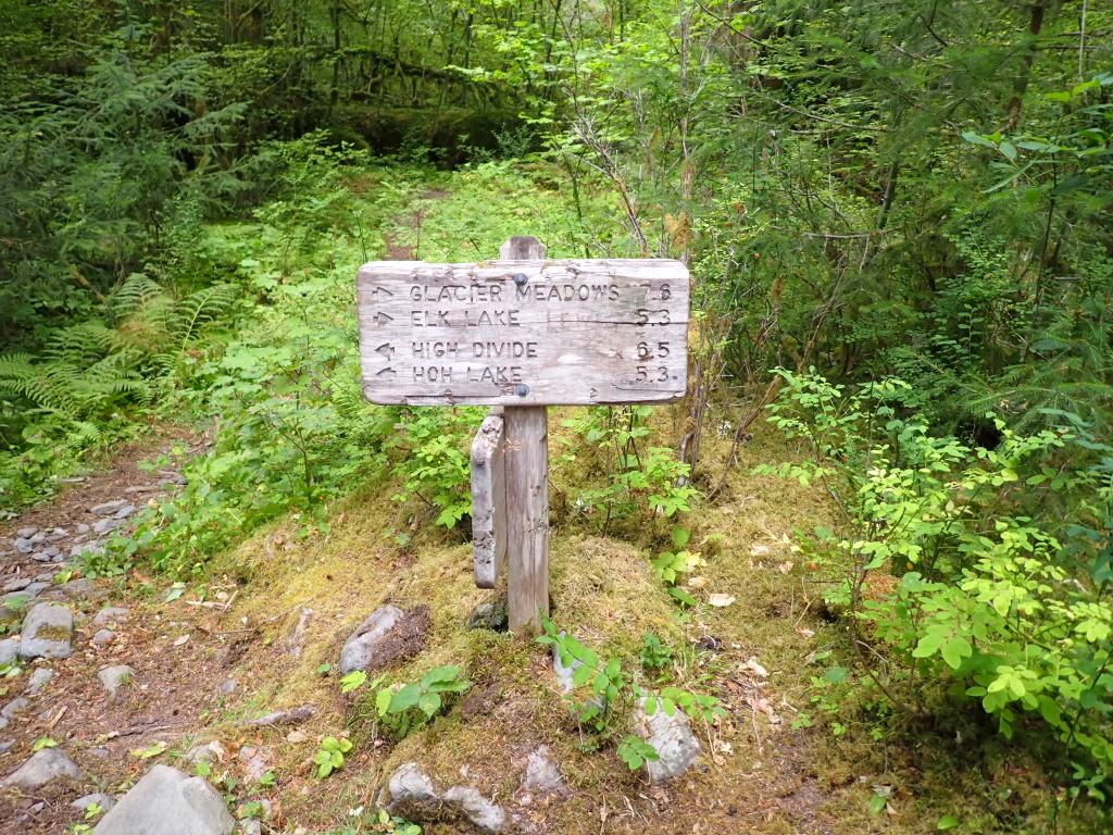
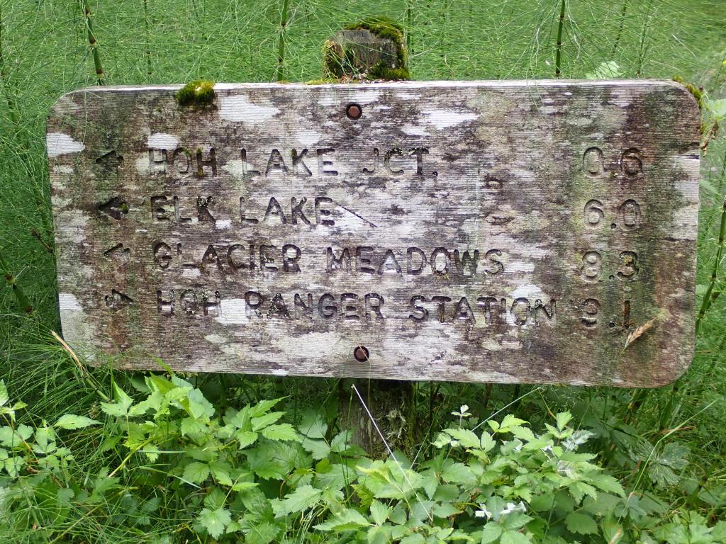
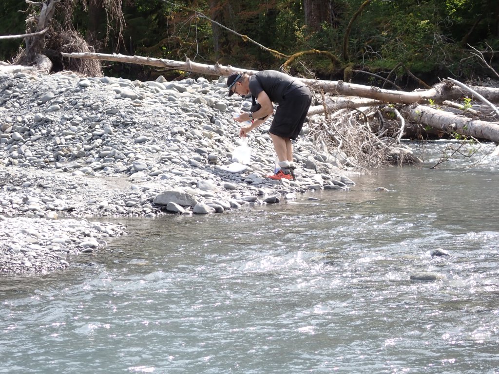
Who needs processed food/trail snacks when we have free huckleberries all along the trail?Looks like someone vomited a box of PeepsBack to the High Bridge over the Hoh River.A few red huckleberries on this log.Giant mushrooms were all along the trail – foot in photo for perspective.Just like pretty much everything that is stationary in Washington, sign is covered in moss!Mama and babies were not at all concerned with us sitting on the opposite bank. Possibly they find that the campground areas are safer because they typically do not see bears and cougars close to the visitors?“Hey, watch me pee in the river!” Hope everyone downstream is treating their water!Steve filling up and treating his water.
During the evening the promised thunderstorm rolled in. Using new tents with different angles, flaps and vents, we spent most of the evening moving around inside the tent trying to avoid the drips and raindrops that came in. The tents were mountaineering tents – single-walled with no rain flys. HMMM
The next morning we didn’t get up real early as it was still raining. As we slowly packed up and ate breakfast, the rain temporarily stopped. We all had our rain gear and were excited to use it but unfortunately, wearing raingear and hiking with heavy packs, one sweats too much. Most of us ended up hiking out in shorts and t-shirts, hoping it wouldn’t rain too hard! Those that wore their raingear soon regretted that move!
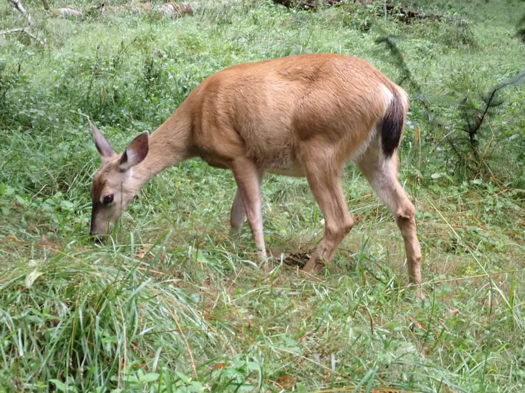
Columbian Blacktail Deer – like the ones we saw by the river the day prior, not afraid of people.Another fun log crossing – this time the logs were nice and slippery!“Nurse logs” were abundant in the rainforest.A few sun breaks teased us through the morning.Screen saver? Hard to believe there are so many shade of green!
We made it back to the trailhead, pulled all the group gear (fuel, tents, etc.) out of our packs, had a few quick goodbyes and were on our way. I was looking forward to changing out of my wet clothes and a nice hot shower!
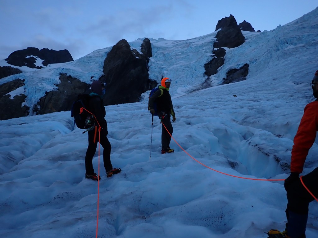
One of the things we found out fairly quickly was that our guides did not have the luxury of getting any up to date route information from fellow guides. A typical summit day would include rising around midnight and climbing to take advantage of firmer snow conditions. With the “advertised” summit day being 9 – 13 hours, this would theoretically put the team on the summit for sunrise and then a quick descent would put the team back at camp before noon. But, because our guides had not been on the mountain for several years and did not have any current rout information, we left at 3am so they could actually see the route once we crossed over the Blue Glacier.
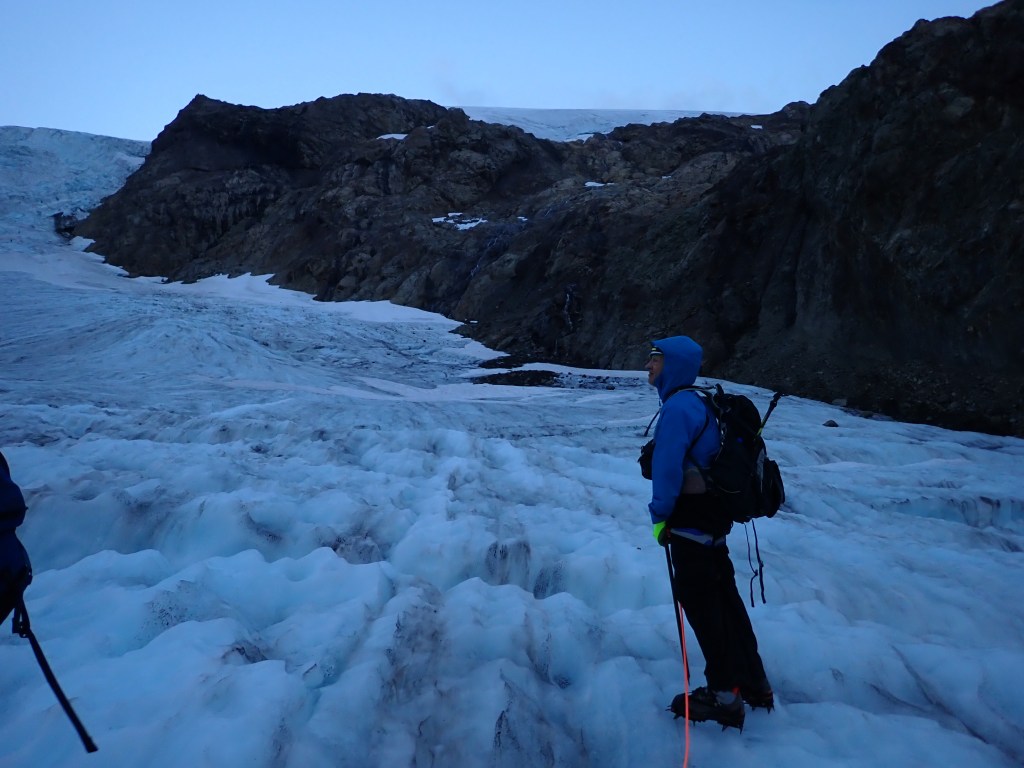
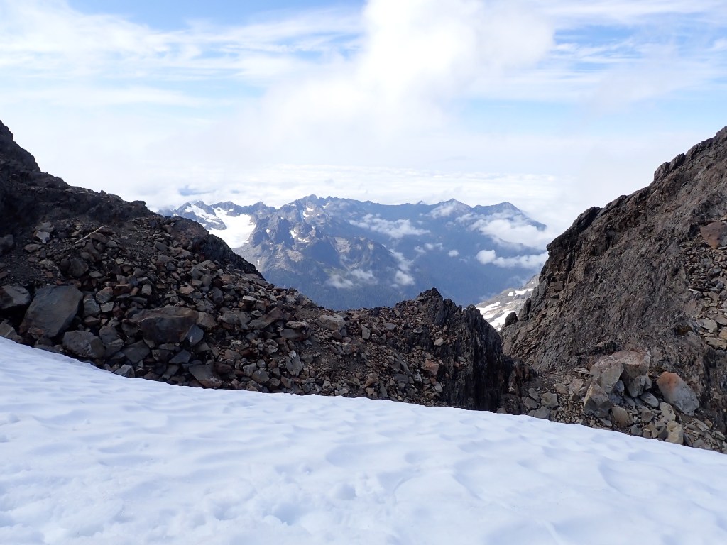
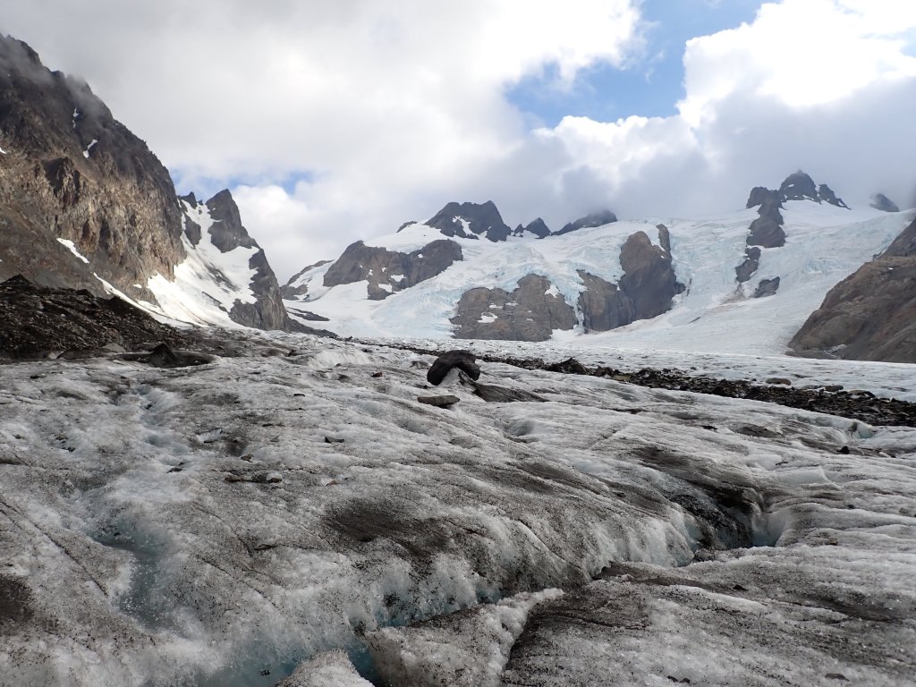
Once we were on the trail we wound up through the forest with headlamps for about an hour until we reached a feature called the “Lateral Moraine.” In layman’s terms this would best be described as the rocky walls that hold the sides of the glacier. It was an easy walk on the ridge of the moraine, then we dropped about 1,000′ through the rocks and scree to access the Blue Glacier.
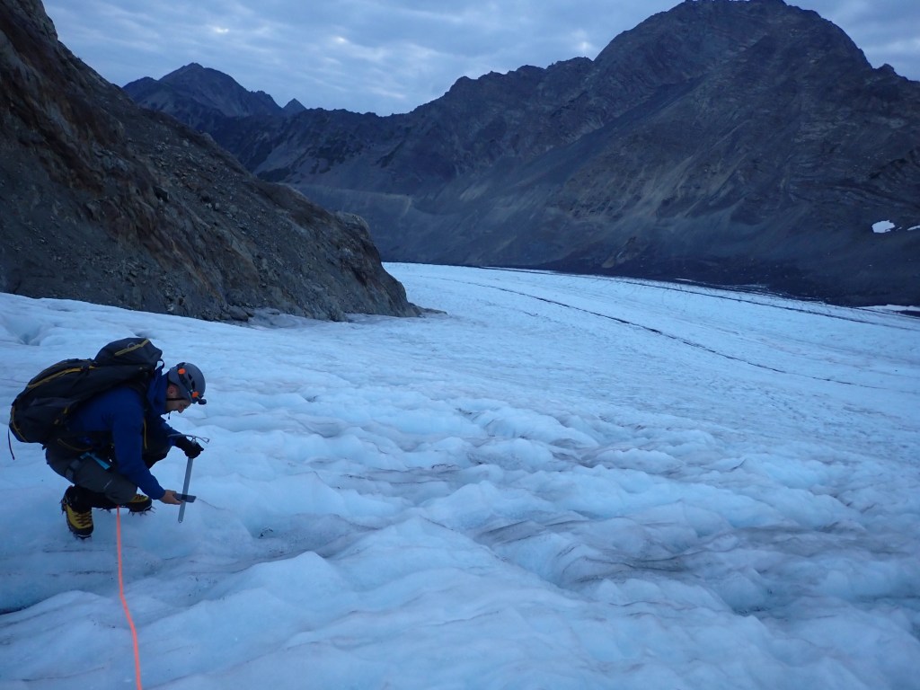
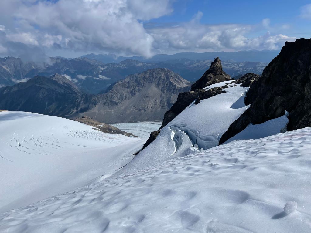
Alan and Tatum assessing the route off the Blue Glacier up to the Snow Dome.Still pretty dark and the photo shows one of the crevasses in the glacier (in front of Steve) that we need to carefully navigate over. Our route ended up traversing up and across the rocks that are basically above Steve’s head in the photo.Ambro taking pictures of ice worms in the glacial pools. The trail on the lateral moraine as it drops down to the glacier is just visible over on the far side of the glacier.In this photo you can see a party of 4 that was about an hour behind us. This was one of the IMG groups. Turns out that they obviously knew up to date route beta as they ended up passing us on the Snow Dome and arriving at the summit block easily an hour before us. Looking up to some of the features jutting out of the Blue Glacier. As the sun rose we saw the turquoise colored pools that give the glacier its name. If you look closely, you can see three tents in the snowfield in the foreground.
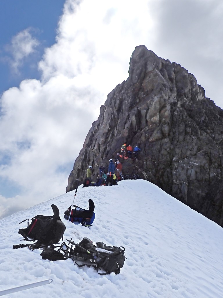
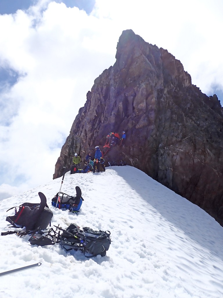
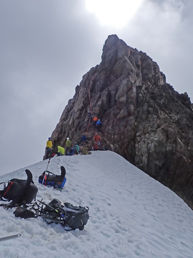
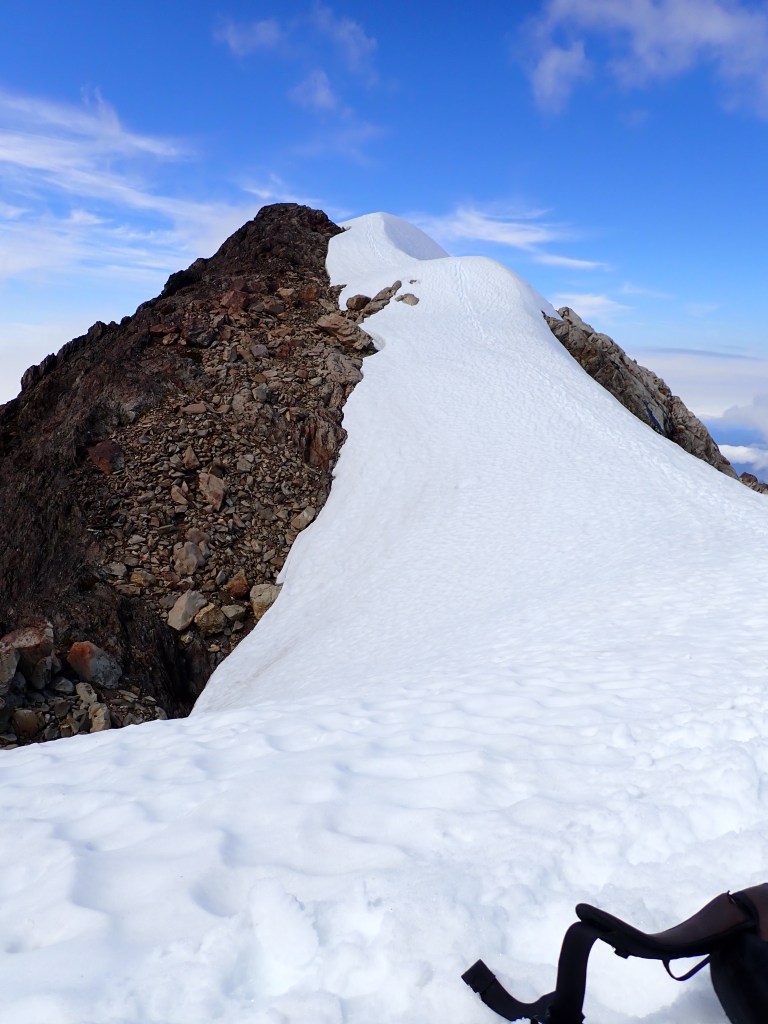
After some deliberation, it was determined that we would need to remove our crampons and climb about 1,000′ over a rock feature.
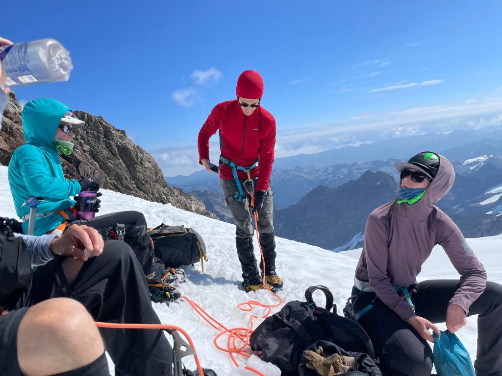
Time for a break at the top of the rock scramble.
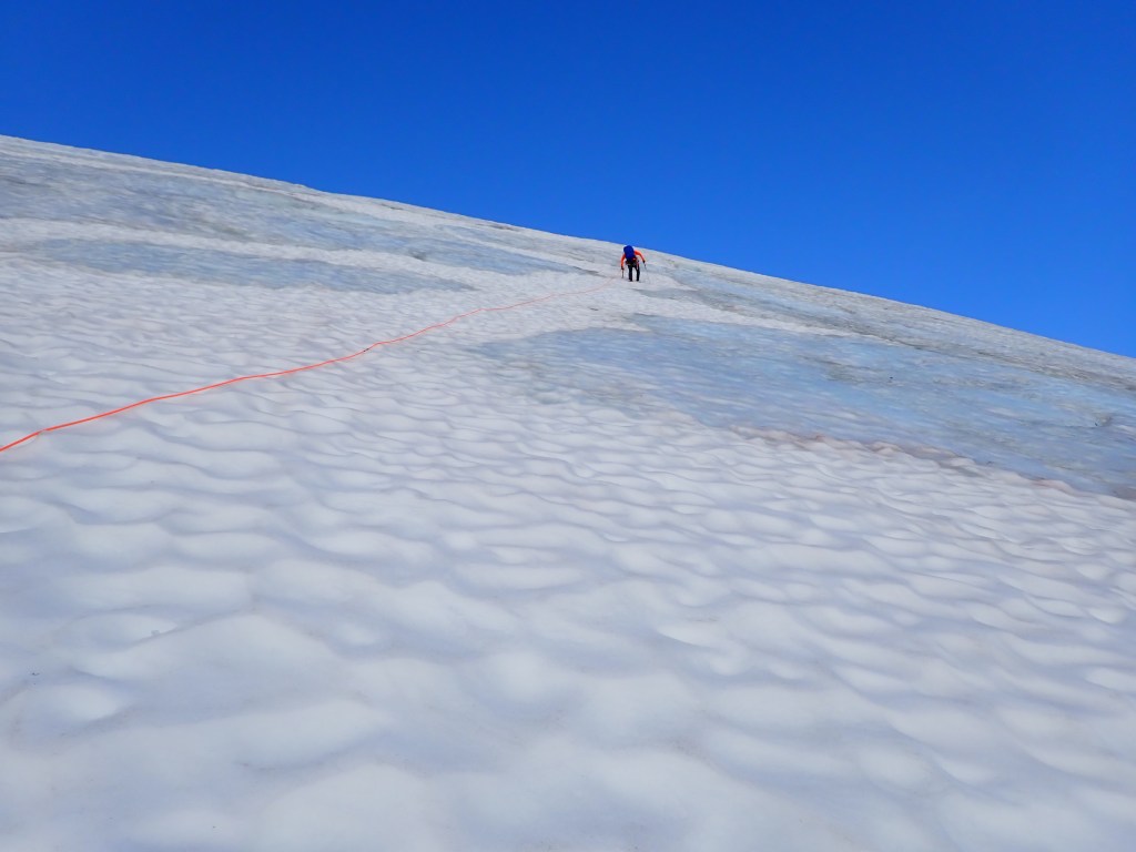
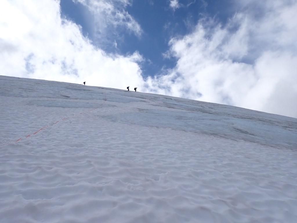
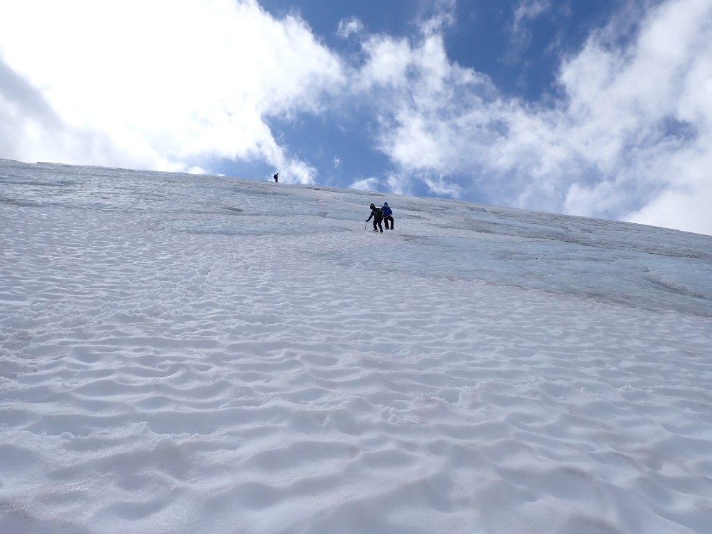
Once we were at the top of the rocks the climbing started in earnest. Earlier in the season it would be a relatively easy “walk” up the Snow Dome as the entire route would have been snow. Due to the lateness of this trip, about 3/4 of the snow had melted off the Snow Dome to reveal huge stretches of blue ice. Typically one would have multiple ice tools and different boots to try and tackle a 45degree ice wall. As we didn’t have the right tools, we opted to place snow pickets and use a running rope belay to get everyone up safely, picking our way around the visible ice.
Alan weaving through the sections of blue ice to place snow pickets.
As we were on a “mission” and it was close to being almost eight hours before we even saw the summit, I sadly didn’t take many photos. My tentmate (Jesse) was snapping a few shots and so if I am in any shots, credit to Jesse!
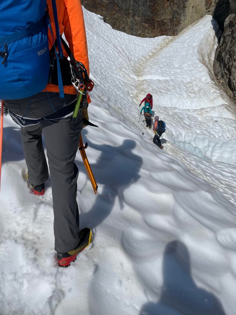
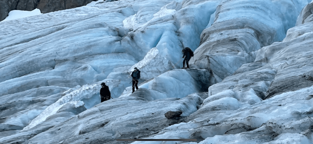
Lateral Moraine and Blue Glacier far below as we approached the summit block.One of the last breaks before we approached the summit. The guides were keeping an eye on the weather front that was moving in behind us.Navigating another crevasse after we went through Crystal Pass.“Short-roped” for safety approaching the summit saddle.Independent group of six climber’s that ended up being “convinced” that our group could move fast and they needed to let us go first. HMMMAlan and Tatum setting the route for our team.Jesse and Steve getting ready to head up.
Once we got to the snow ramp that lead to the last 80′ of the summit, basically chaos ensued. Several groups were on top and were trying to rappel down as our group pushed its way past a group that was already waiting to climb to the summit. I took one look at the situation and decided I was not going to go to the top. So, no, I did not summit Mt Olympus but got within 80′ and I felt fine about it! It turns out that our “quick” turn at the rock wall turned into almost two hours. I would totally understand if the independent group actually filed a complaint – I would have … Anyways, the rest of the team made it to the top and then without much fanfare, we started the descent.
Lots of clouds started to swirl in while I was waiting at the saddle.West Summit – I supposed I could have wandered over there as there was an obvious trail but I told Alan and Tatum that I would stay put.Photo from the summit saddle.Second group heading down the Snow Dome.Just about to the bottom of the Snow DomeLots of rockfall evident on the sides of the glacier – reason enough not to spend a lot of time on the glacier!Navigating down through the icy Blue Glacier on tired feet seemed close to impossible and endless!Close up view of the terrain.Jesse just about to step off the glacier for the 1,000′ climb back up to the top of the Lateral Moraine.
We finally made it back to camp at 7:00pm and had about an hour to rest and then we had dinner and went to bed. It turned out to be a 16 hour summit day, which in my books was the second hardest summit day only to that of Denali. CRAZY! Many of the guidebooks say “Don’t underestimate the effort to get to the summit of Mt Olympus.” No kidding … at a “short” 7980′ it would be dwarfed by the mountains in our local Wasatch Range but when Mom commented that I should try again next year with a different guide group my response was an immediate “NO!” HAHA