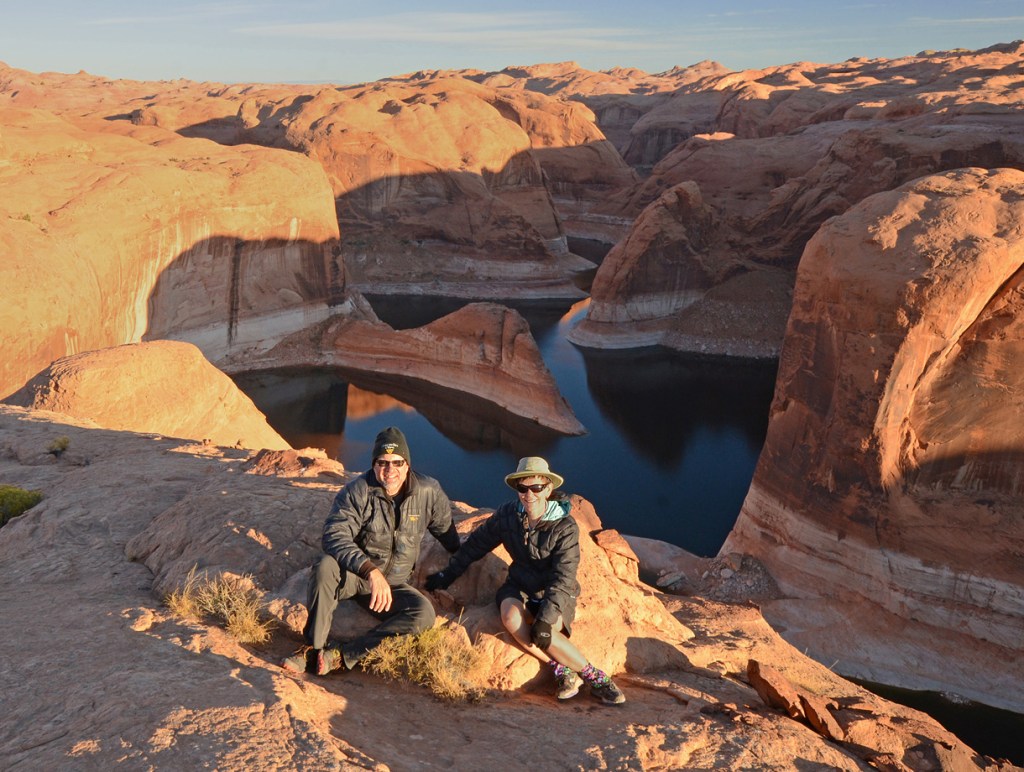
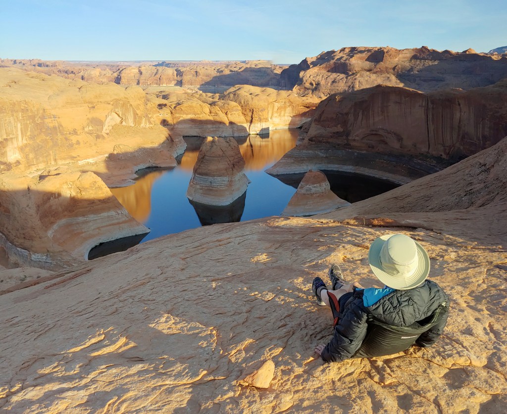
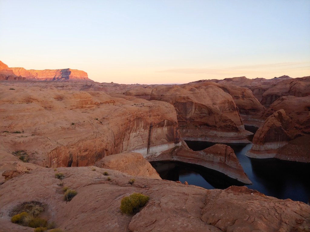
The hike to Reflection Canyon in the Glen Canyon National Recreation Area has been on our “To Do” List for several years. The main reason that we didn’t go before this Fall was that there was the general consensus, online and through conversations with the Escalante Visitor’s Center, that the area was unreachable unless you had GPS coordinates (and a functioning GPS.) We simply didn’t want to cough up $400 to get a GPS unit for one hike.
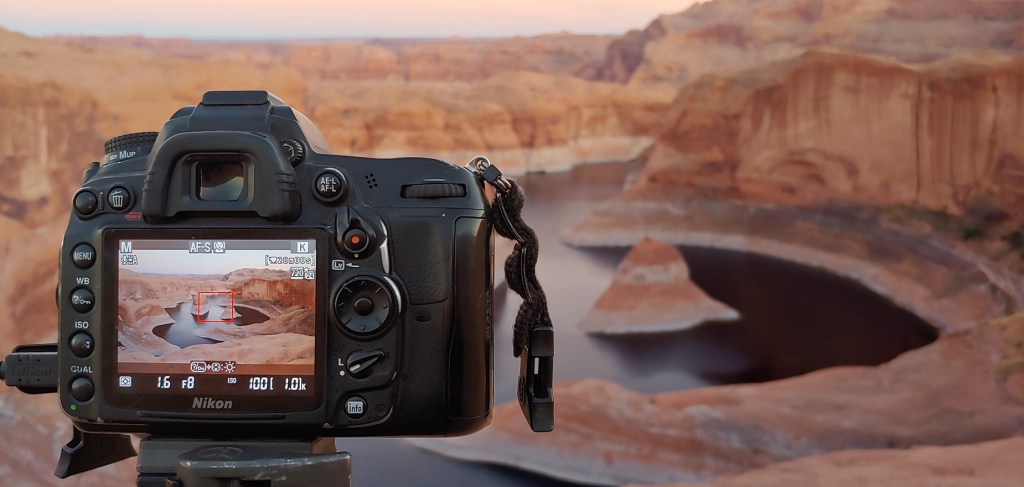
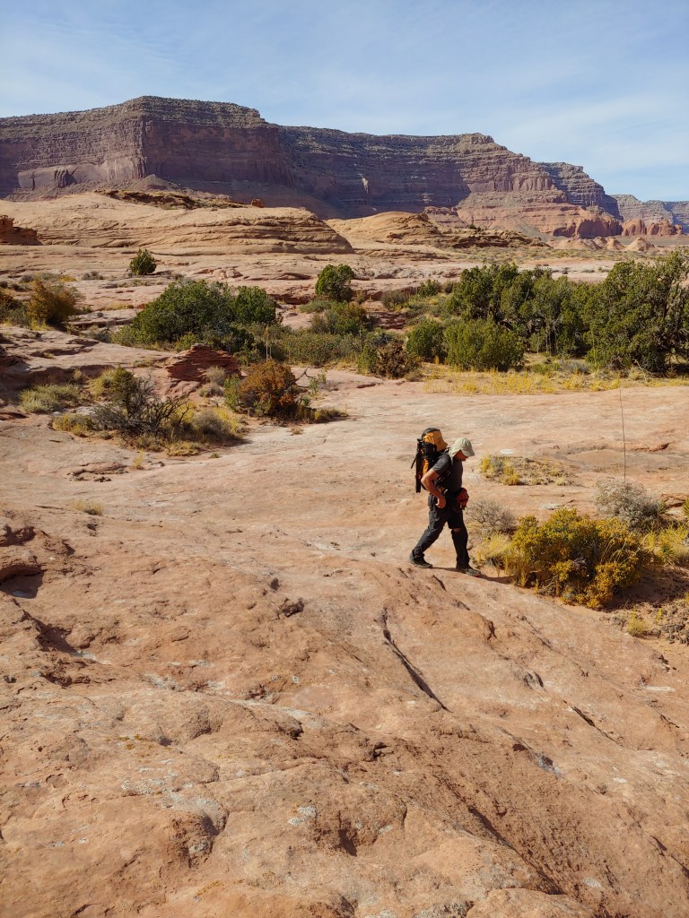
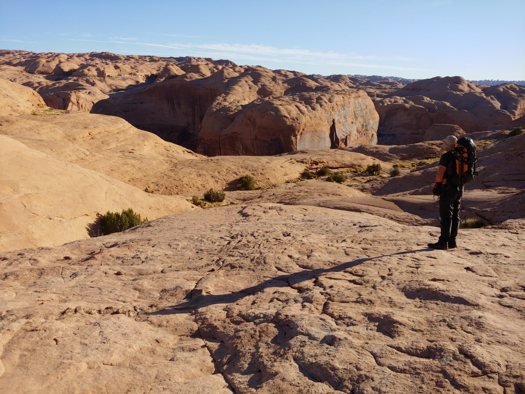
Enter Bob “Bobcat” D. to the rescue. He said, “Use the Gaia app for your phone, it is free.” Free is good. We downloaded the Gaia GPS app, downloaded and saved a few offline maps and GPS coordinates and we were able to use or phone to navigate (after Alison figured out three miles from the parking lot that she had to turn the “Location” button on for the tracking function to work…long story …) And, while it is true that there is no marked trail, enough people visiting over the last several years have actually put in a nice trail.
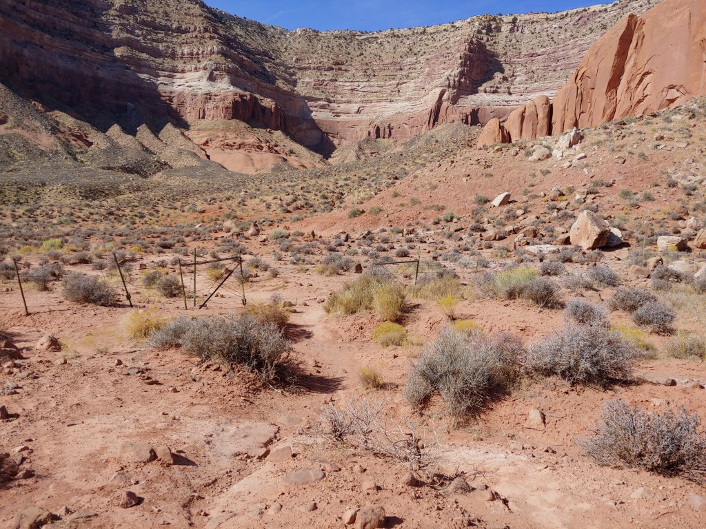
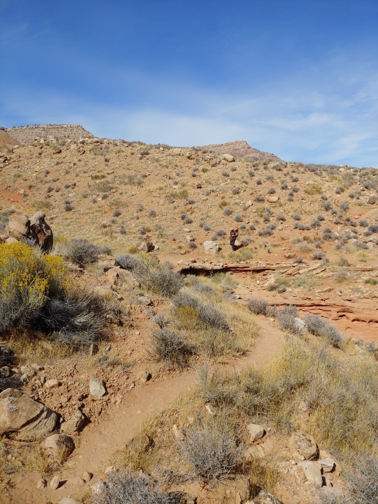
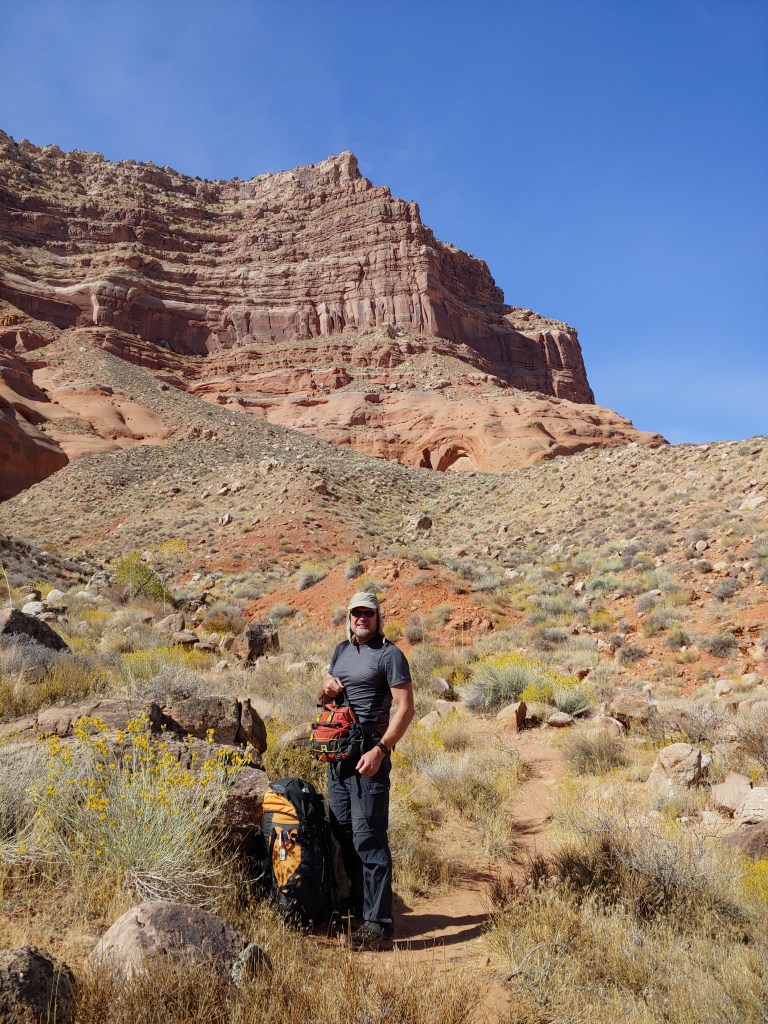
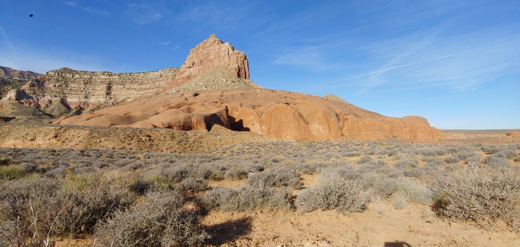
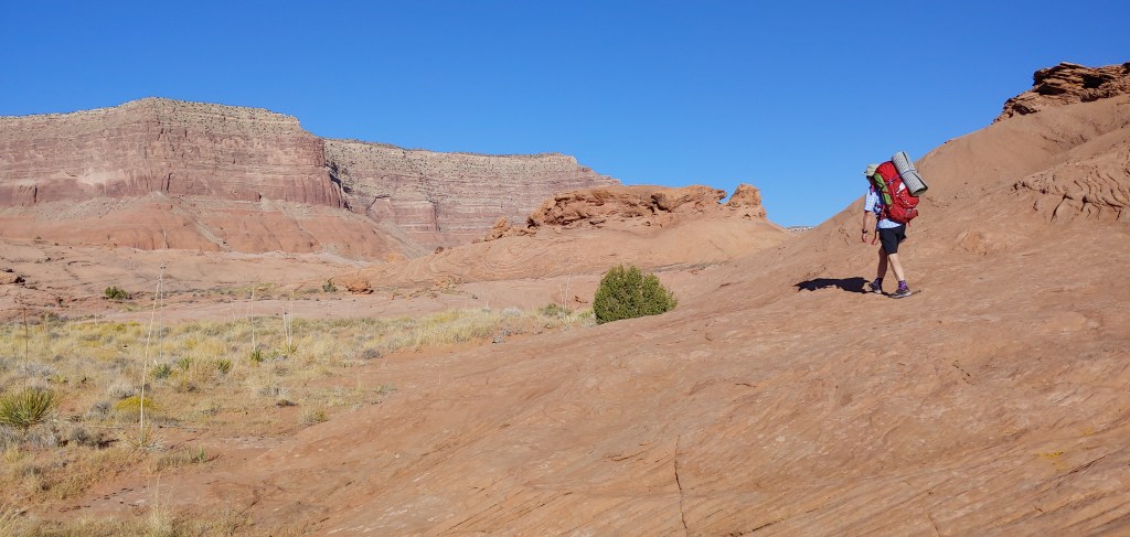
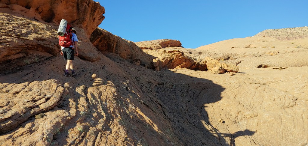
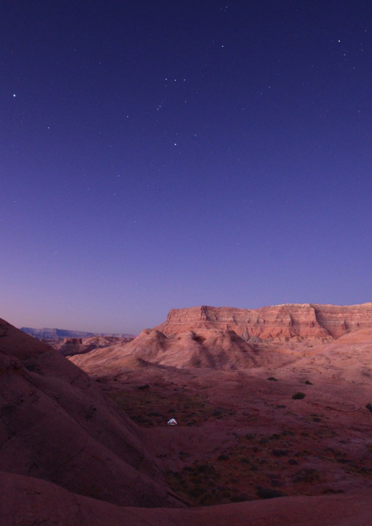
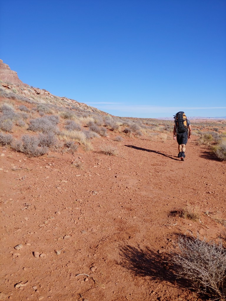
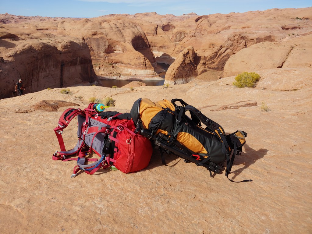
The main instructions to get to Reflection Canyon are that you drive 50 miles on the miserably slow and rutted 4-wd Hole in the Rock Road, park, hike about 7 miles to the southern end of Fifty Mile Point and take a left at the squared off cliff face. The trail is mainly sand with a lot of ups and downs as you go over a lot of washes that are coming down from the cliff faces. Then the last mile or so is simply navigating towards the river on slickrock. We only saw a couple people, reinforcing our philosophy that mid-week, shoulder season is the only time to visit Southern Utah!


Beautiful Hike! Thank you for sharing! So cool to know about the GIAA app, we’ll have to try it out on Baker.
LikeLike