I guess one could say I am on a WA Volcano Quest – with 2 of the 5 (Rainier and Baker) out of the way, Glacier Peak and Mt. St. Helens fit well into the game plan for my 2 week vacation/trip to WA. Joel has basically hung up his mountaineering boots after our trip to the Alps so I was on my own. Glacier Peak, as the name suggests, has active glaciers and crevasse danger so I decided to take the trip with Alpine Ascents. A great guide service that I have climbed with multiple times.
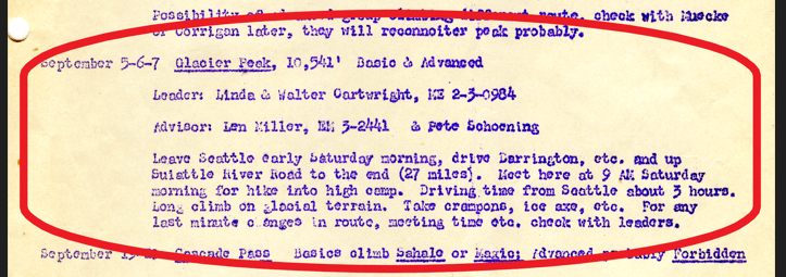
We met at 6:15am the morning of July 21st for a gear check and introductions. I was armed with photos and a class syllabus from when Mom and Dad took climbing courses at the UW – their climb of Glacier Peak was September 5 -7, 1958!

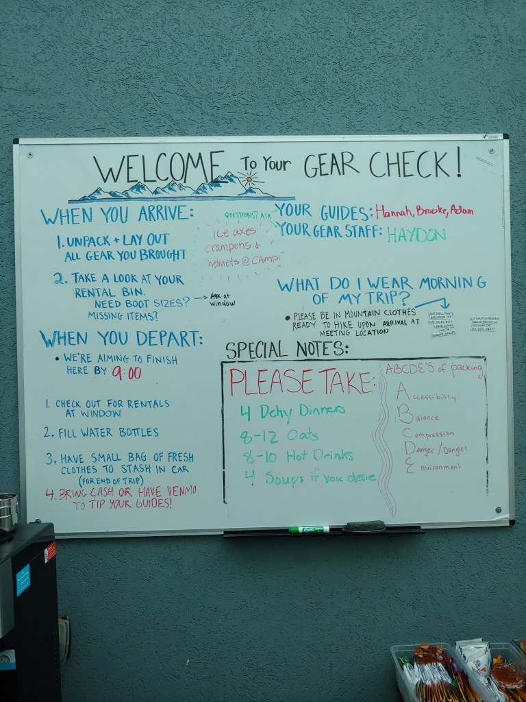
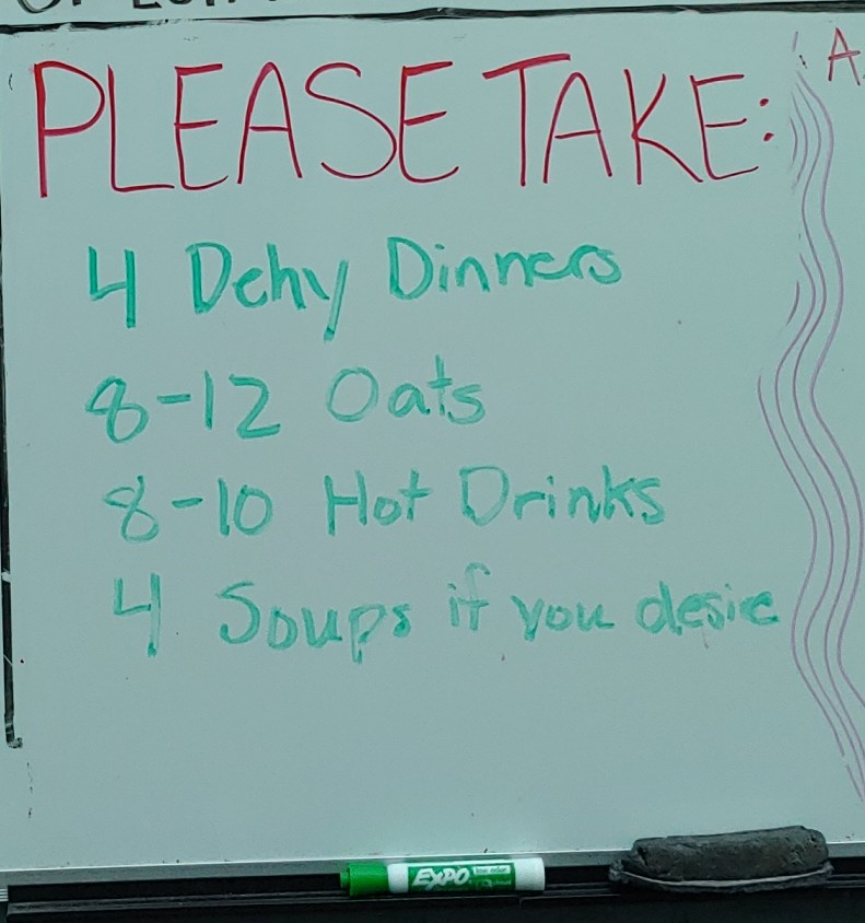
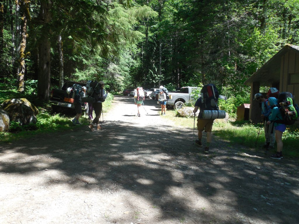
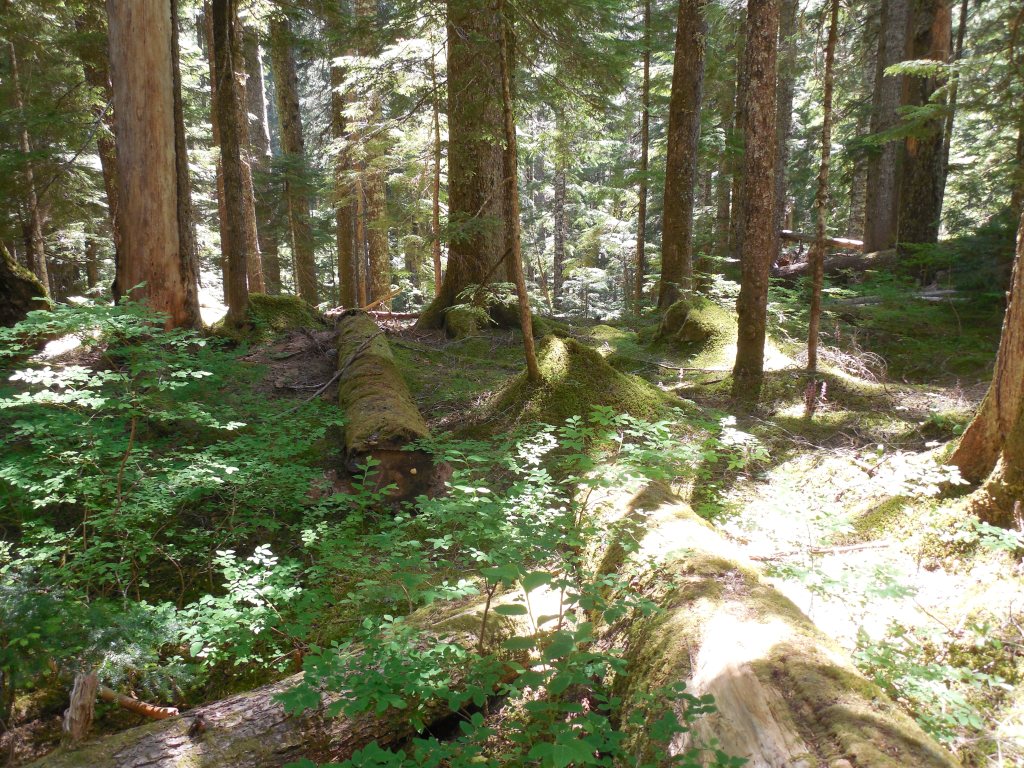
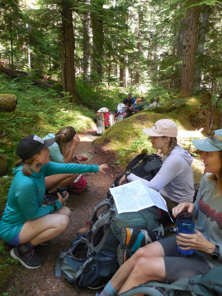
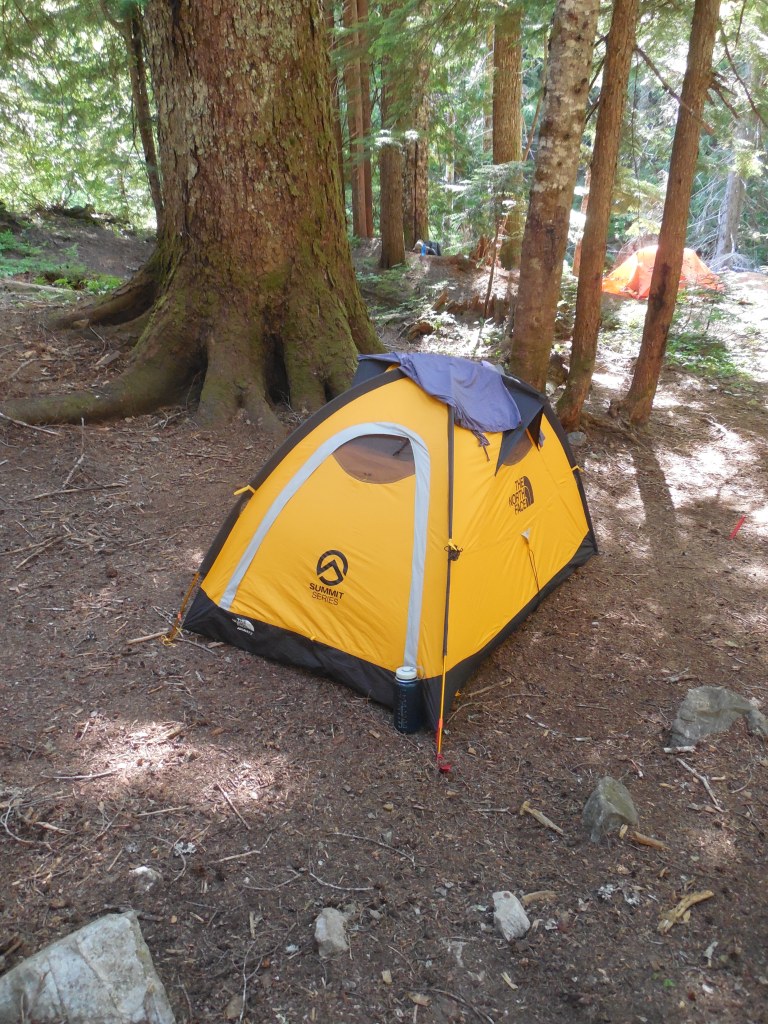
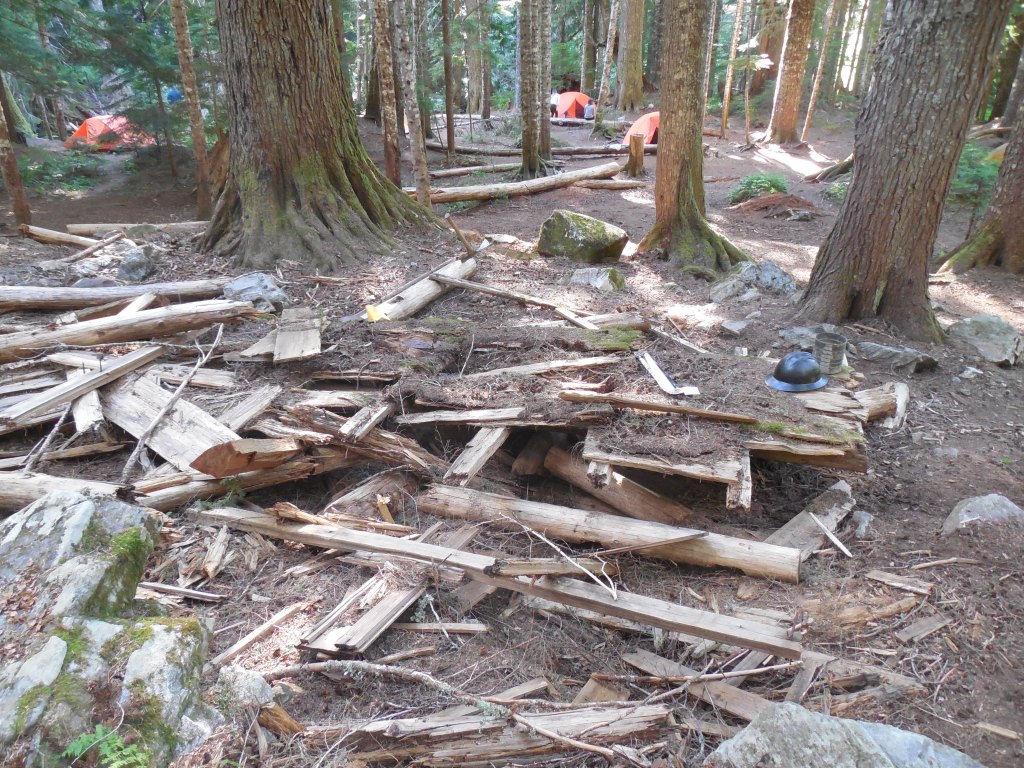
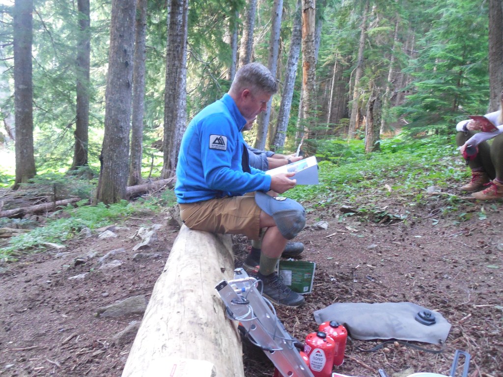
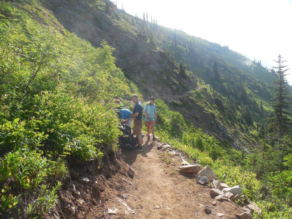
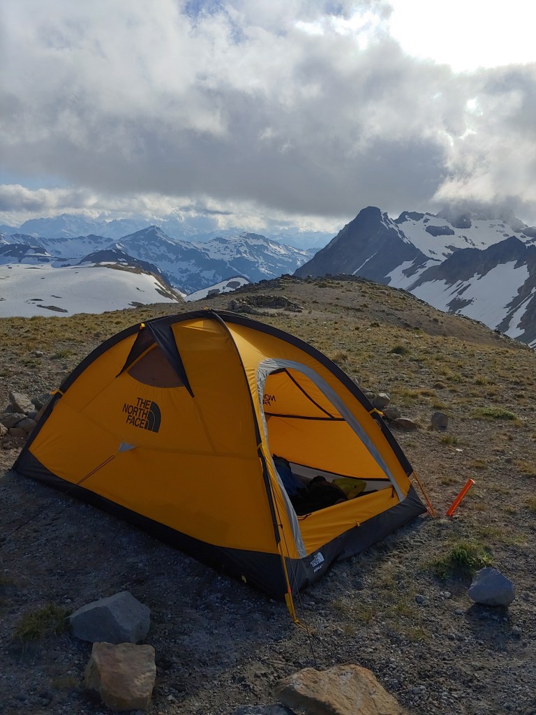
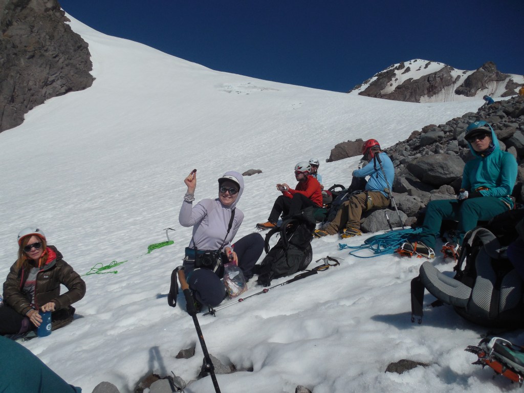
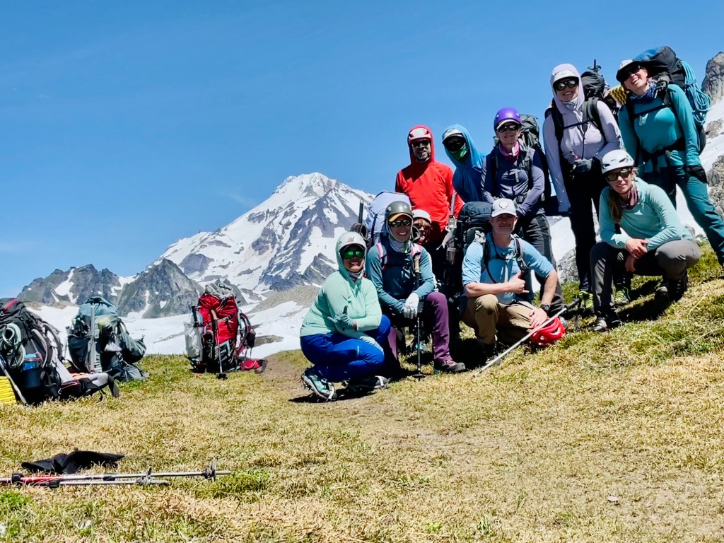
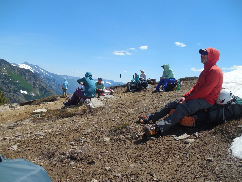
A total of 8 clients and 3 guides were on the roster with one client opting out at the last minute. I won the jackpot as they were handing out group gear and one of the guides asked who wanted a single tent – me, of course! The little bit of discomfort of carrying the whole tent, poles and stakes was clearly negated when I didn’t have to spend 4 days with a new “friend.” After the gear check we loaded up the van and trailer and drove about 3 hours to the trailhead of the North Sauk River Trail. We followed the trail for about 5 miles and set up camp at the now-defunct, Mackinaw Shelter.
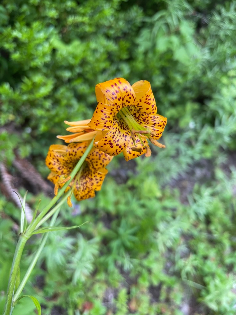
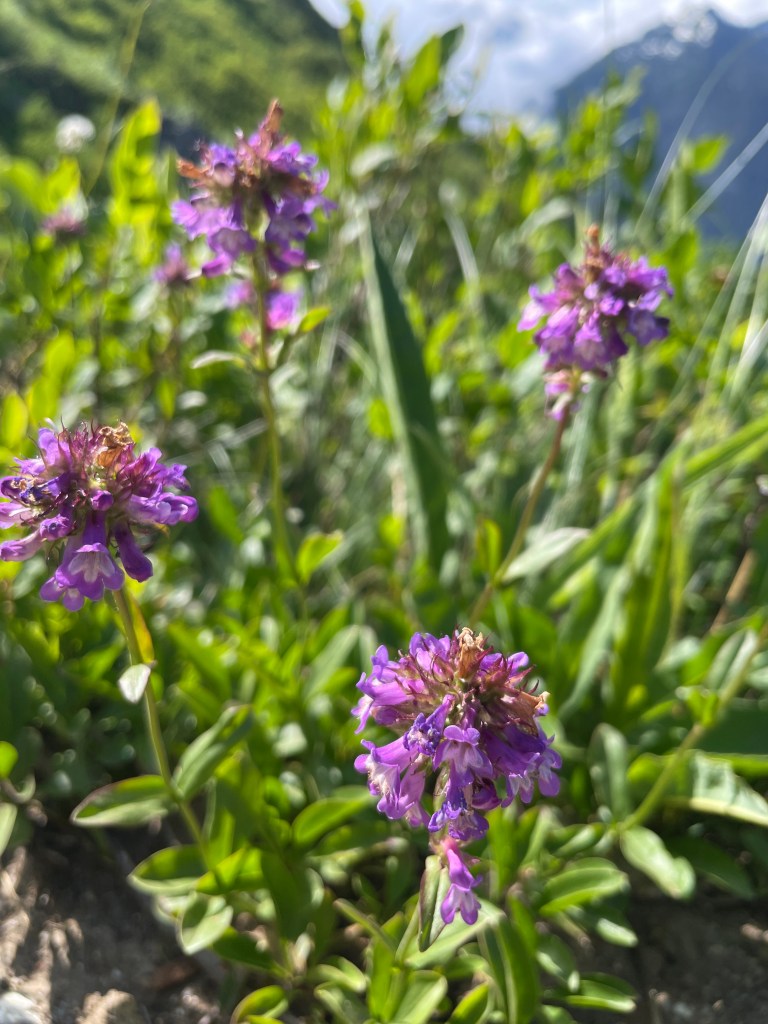
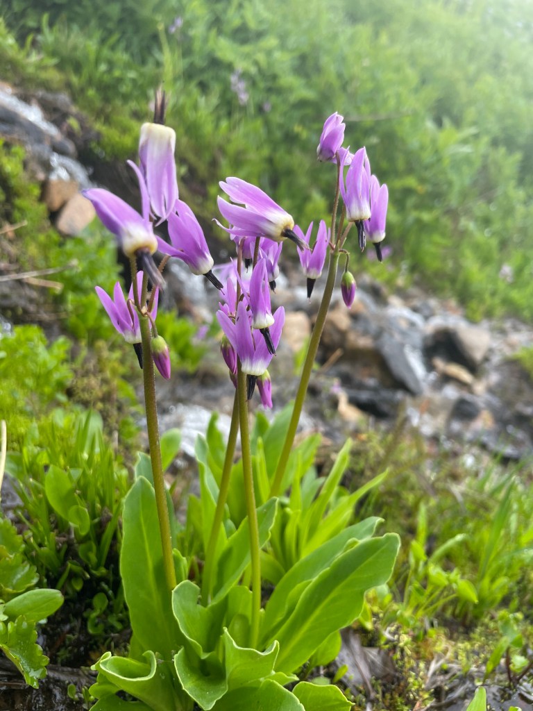
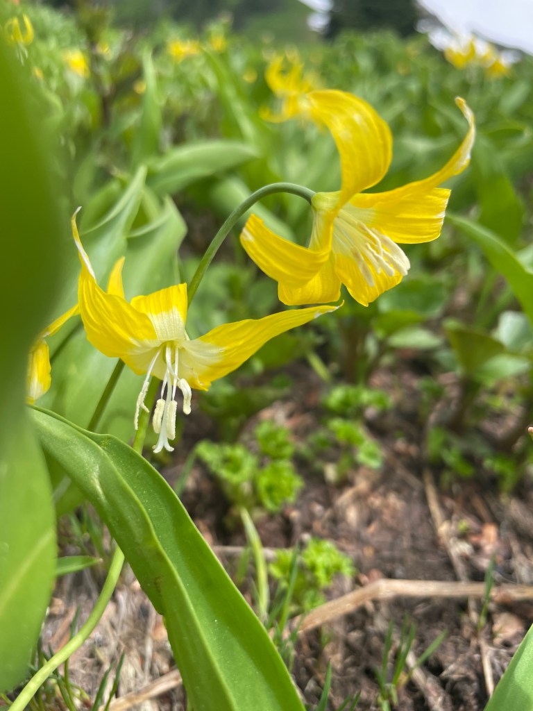
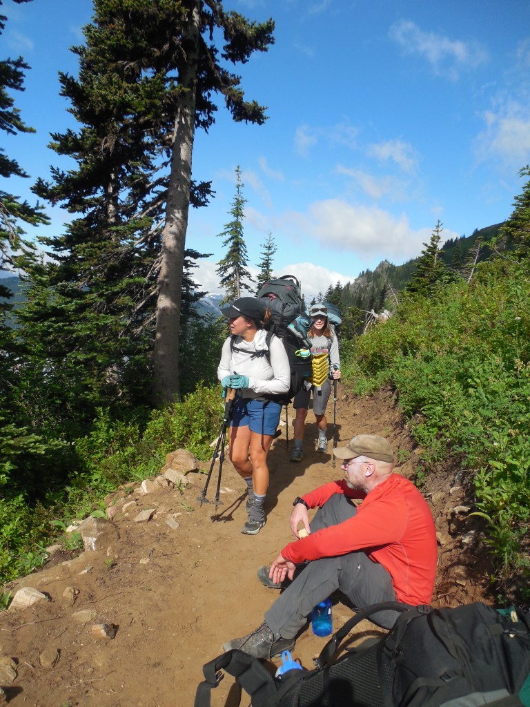
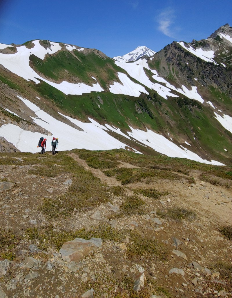
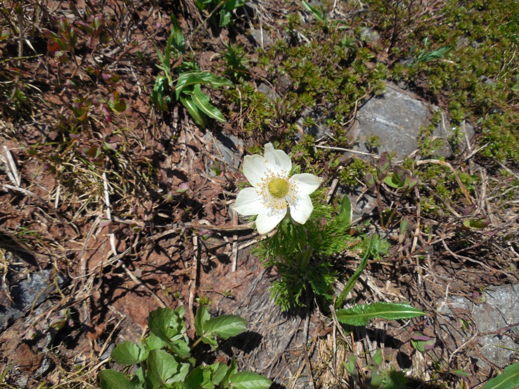
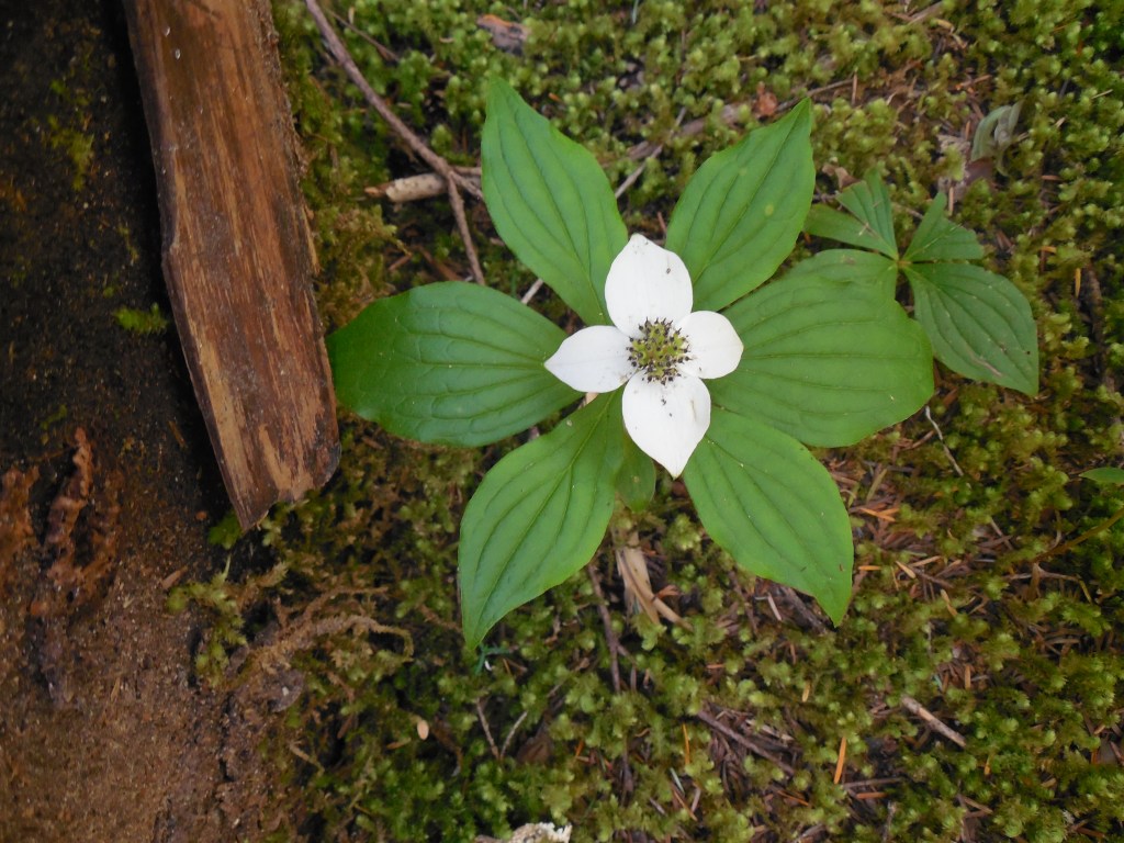
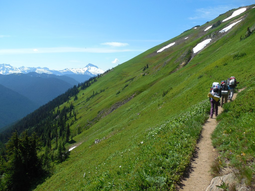
Setting out on Day 2 we immediately hit the 24 dreaded switchbacks that took us to the junction of the Pacific Crest Trail and White Pass. The wildflowers were in full bloom and it looked like the hills had been painted!

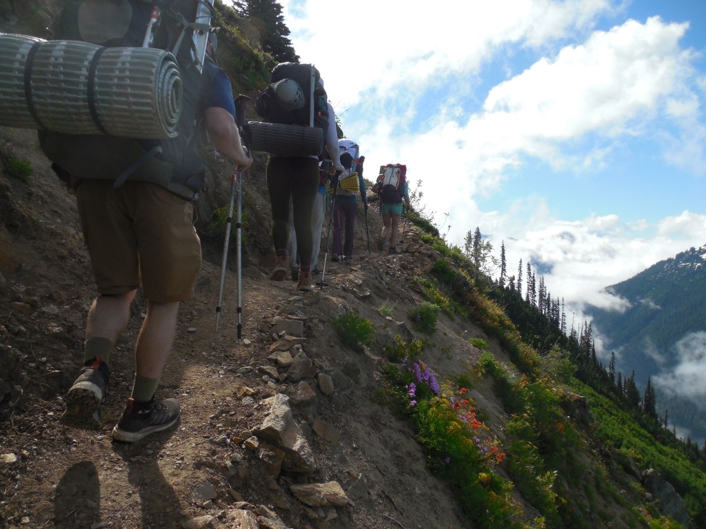
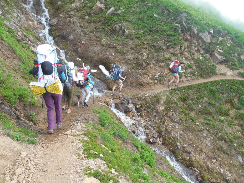
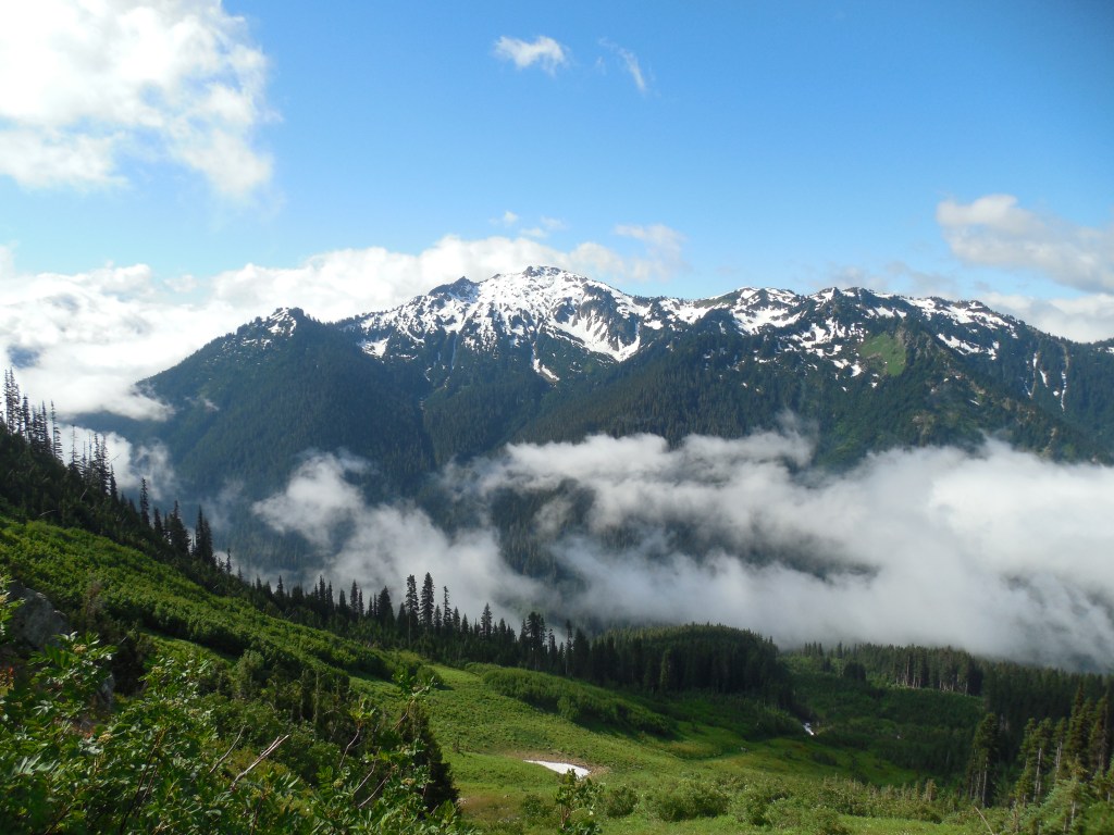
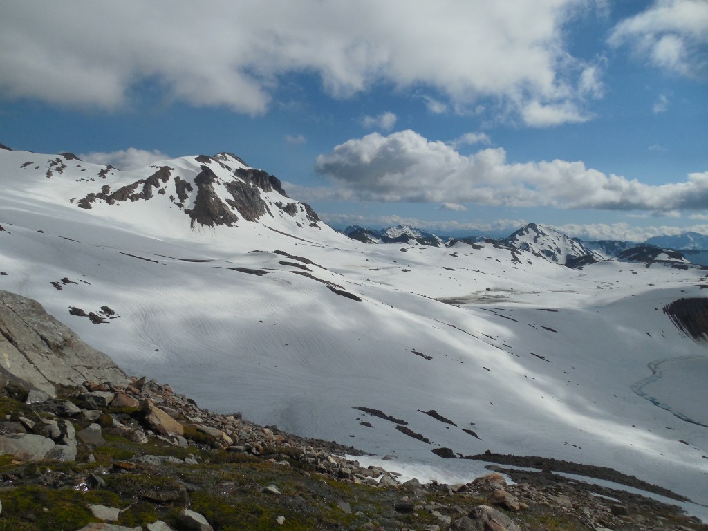
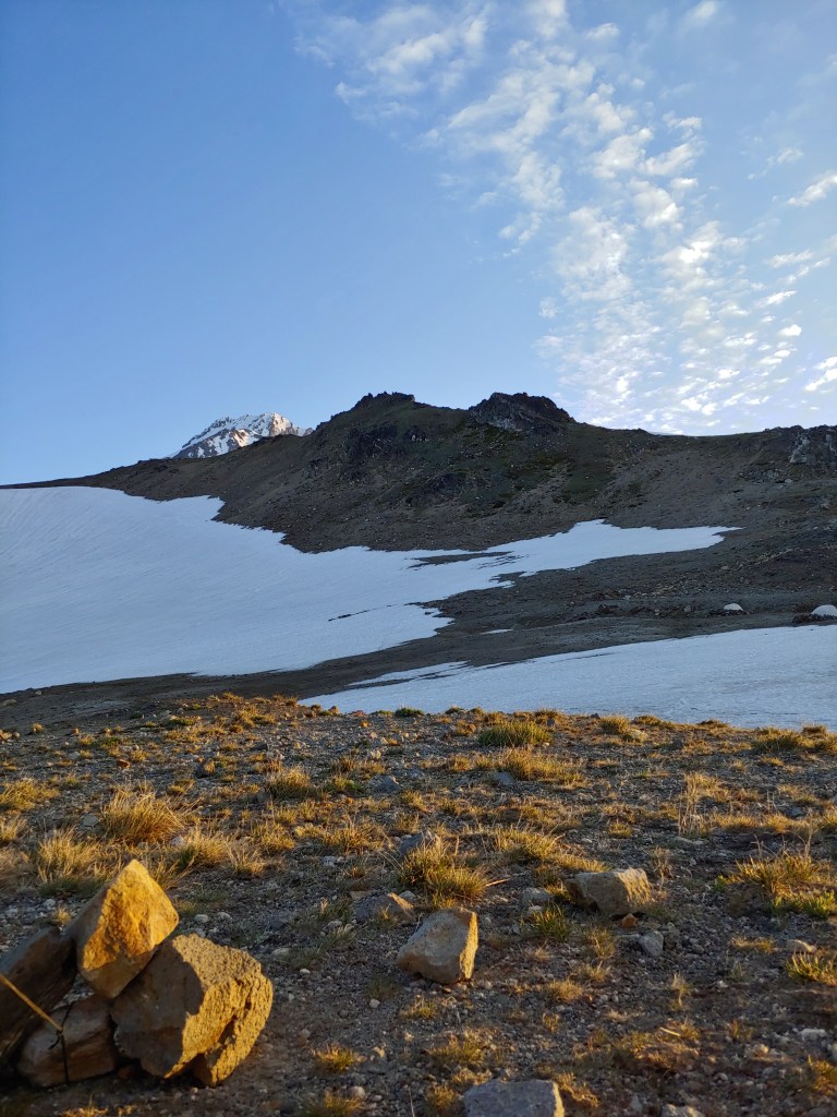
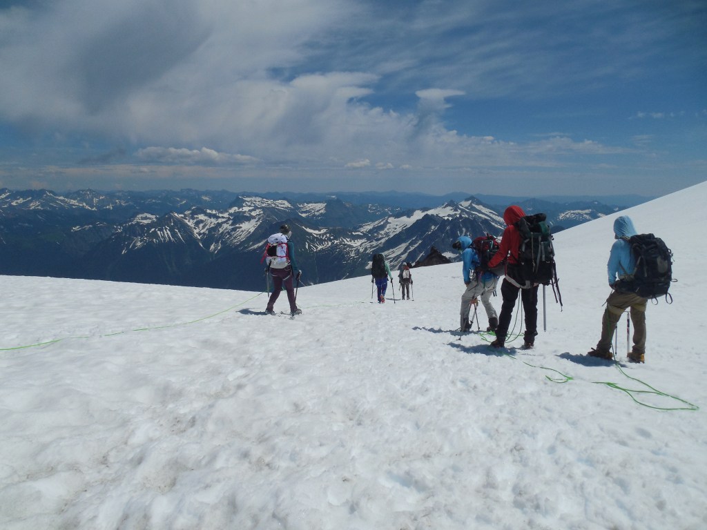
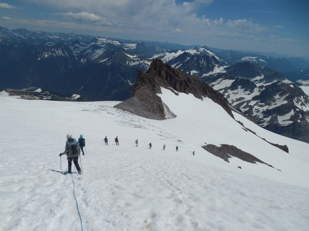
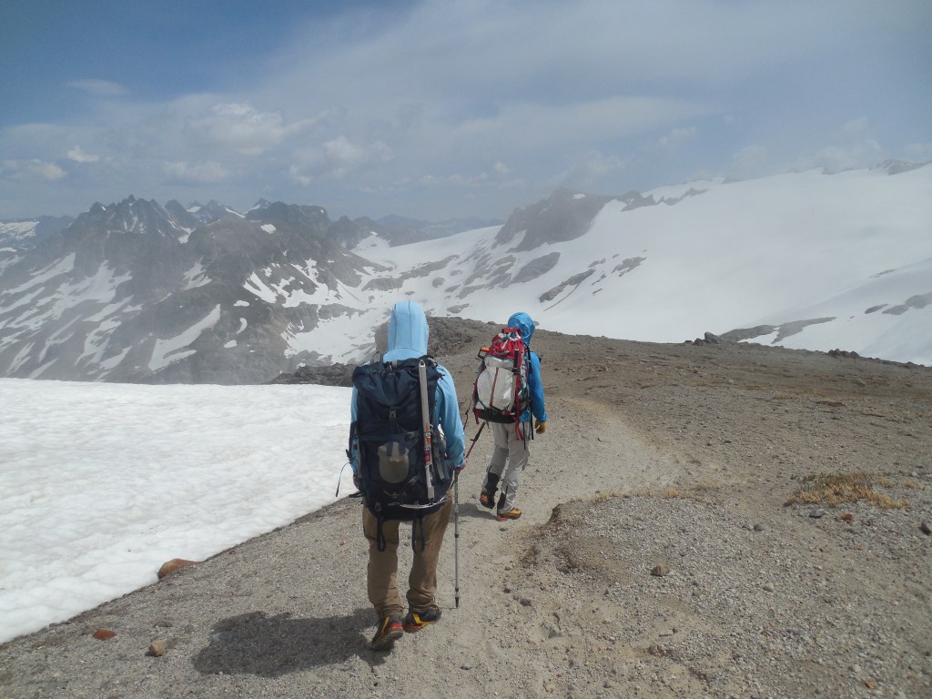
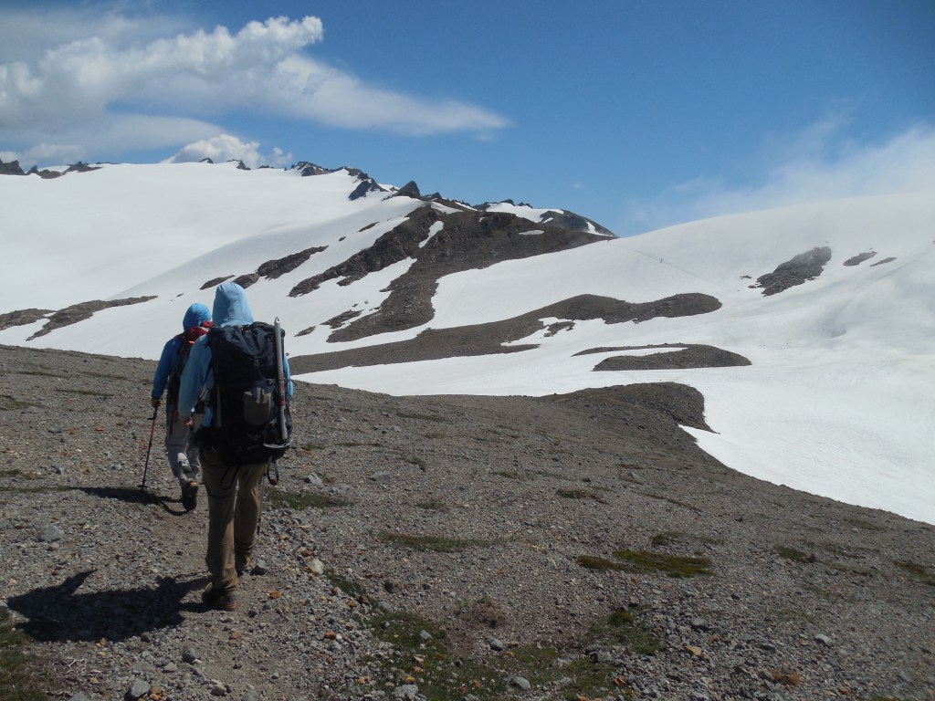
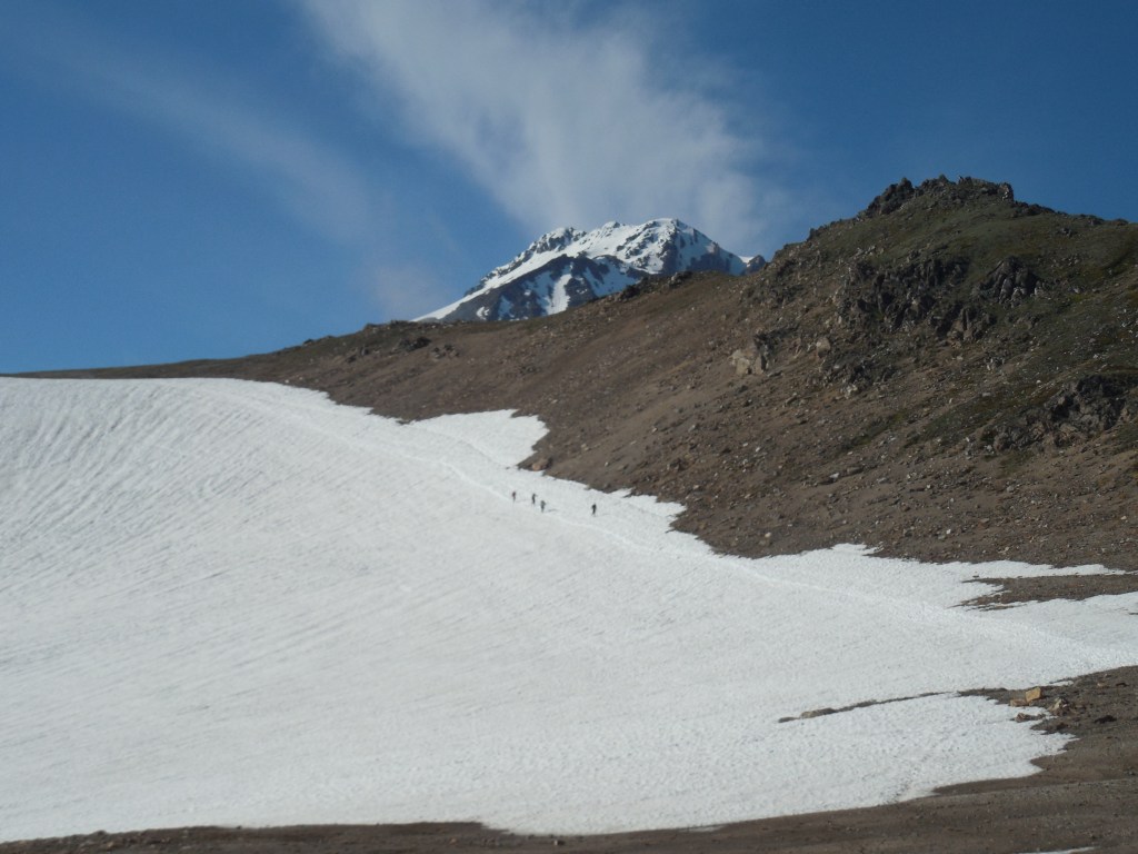
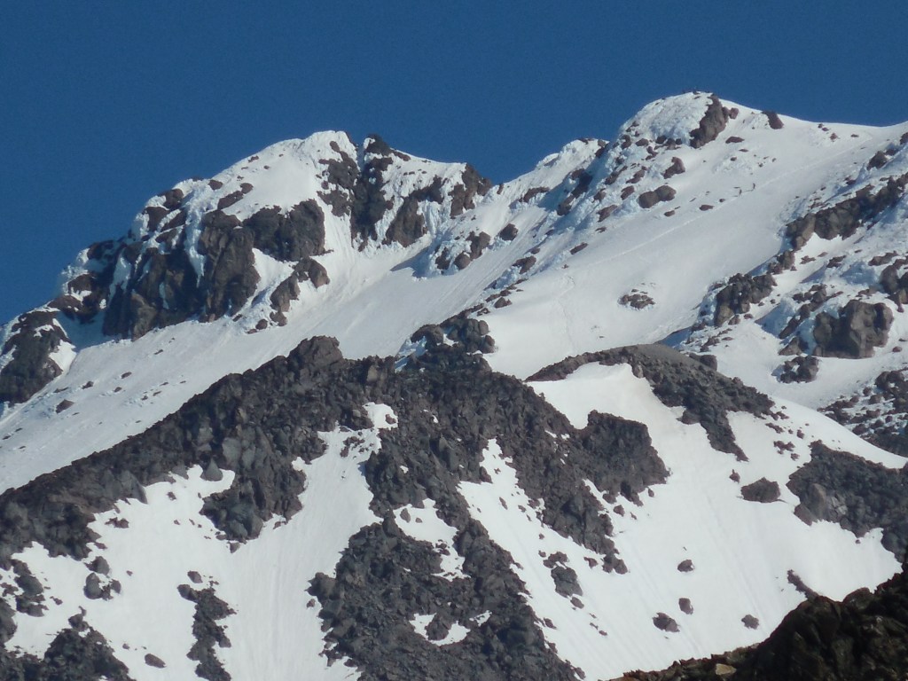
After taking a break at White Pass, we traversed across White Mountain towards the White Chuck Glacier. Above the White Chuck Glacier we found tent sites at an area called Glacier Gap. It had been cloudy, foggy and windy the whole day with a few intermittent sun breaks. Because of the cloud cover, we never actually saw Glacier Peak until the evening when the clouds finally passed by. A 10 hour day and everyone was pretty tired but excited for our “summit” attempt the next day.
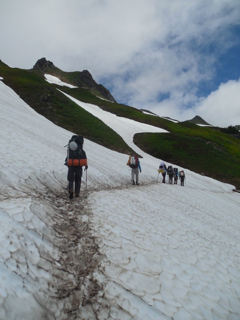
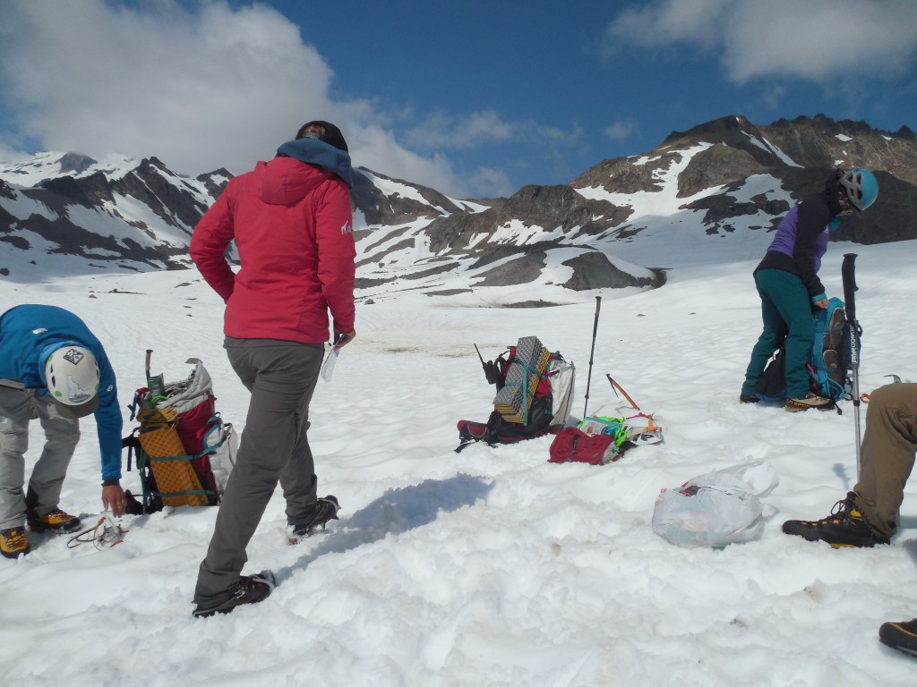
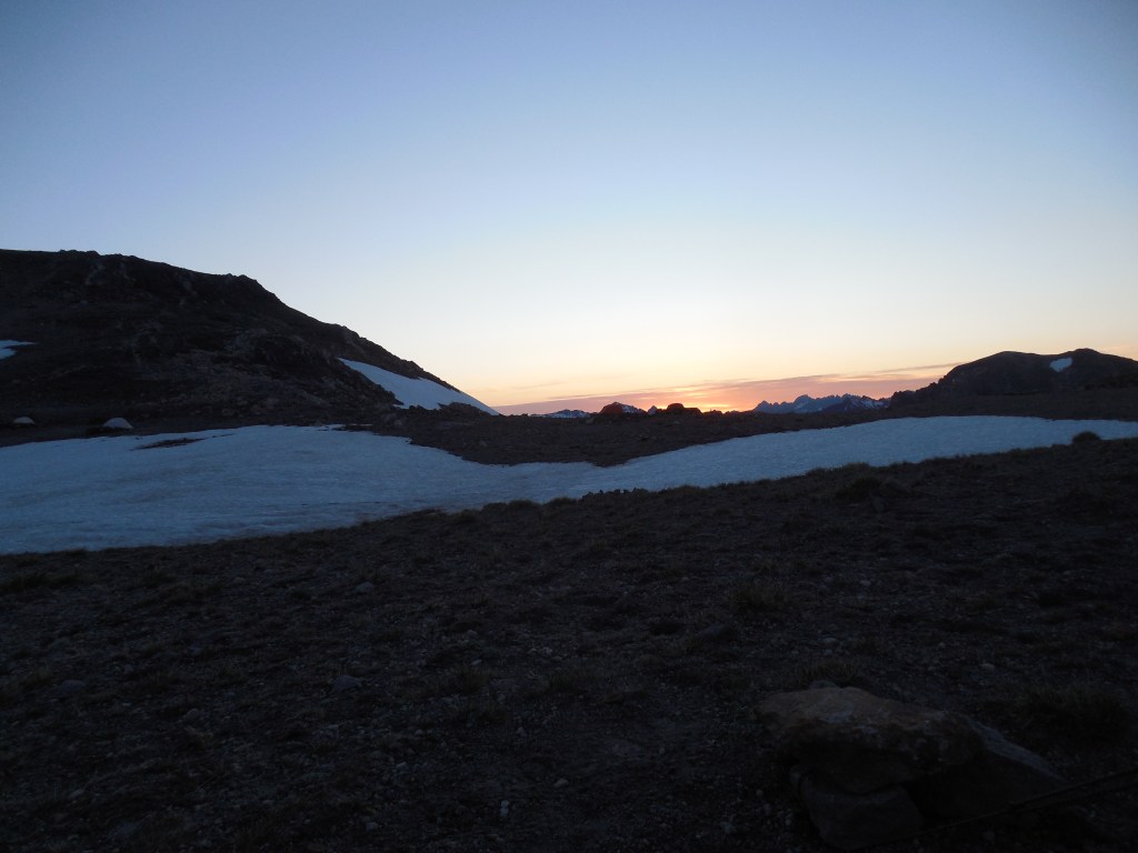
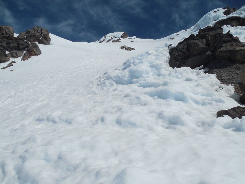
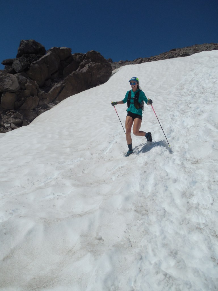
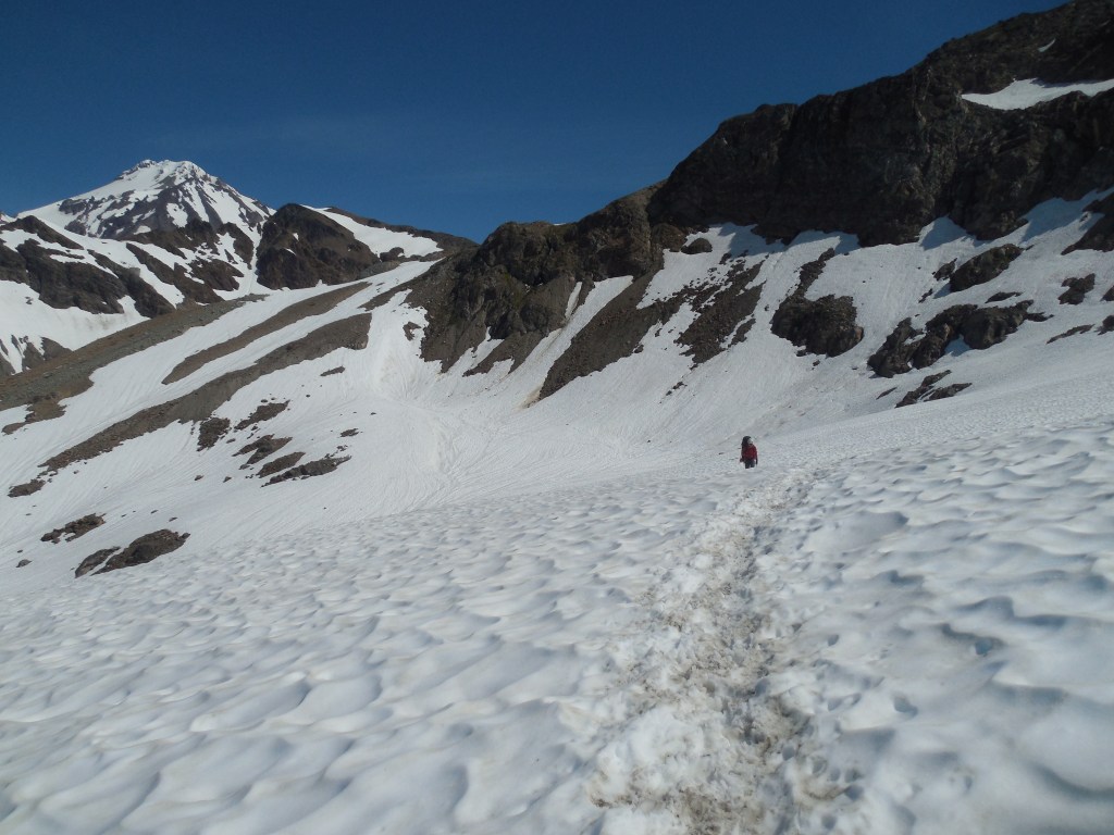
Not really classified as an “Alpine Start,” we headed out from camp at around 7:00am. The snow was starting to get pretty slushy as the overnight temps were close to 40degrees but the guides felt it would be less dangerous as there were a couple clients that were not real comfortable with their ice axes and crampons yet.
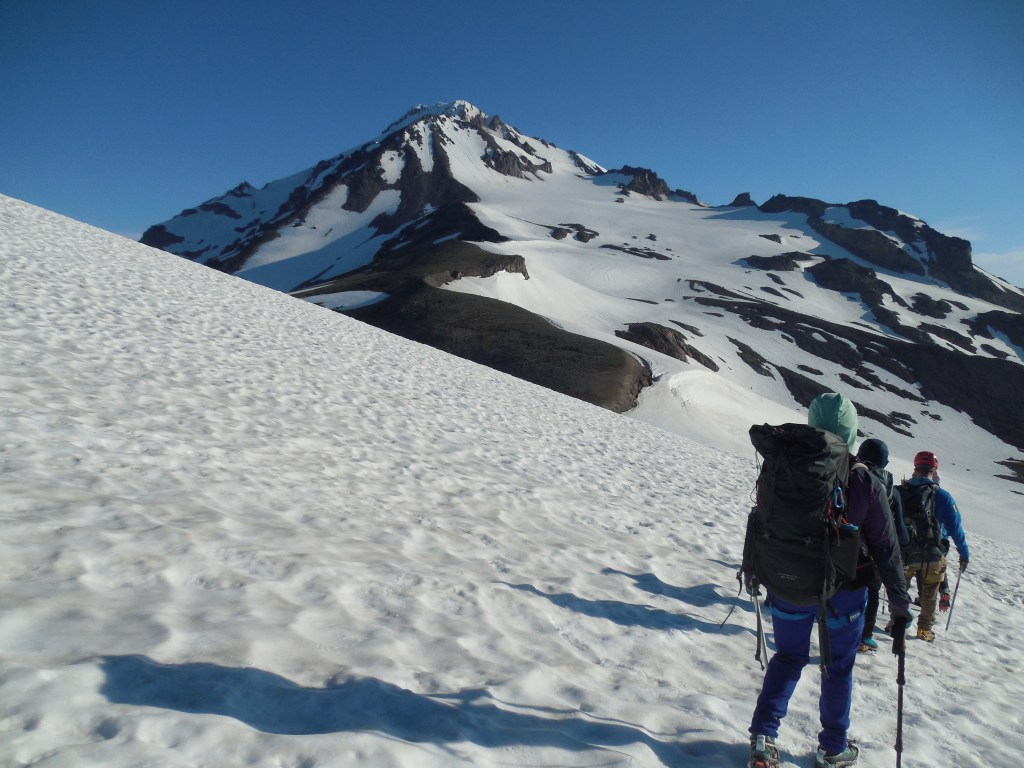
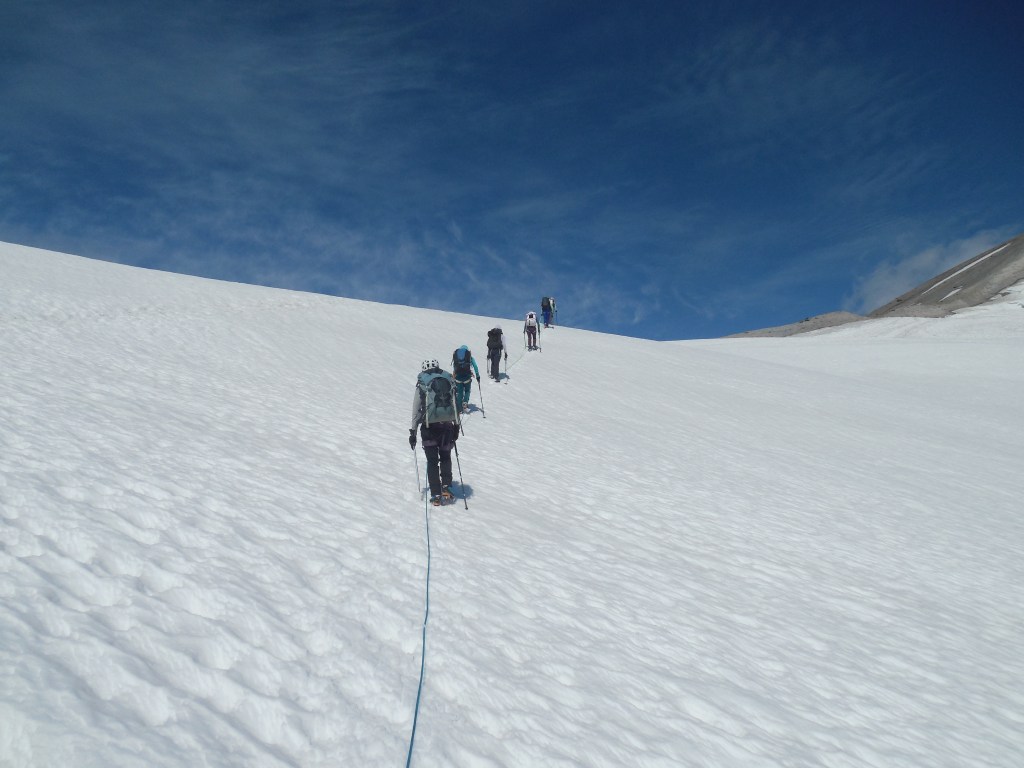
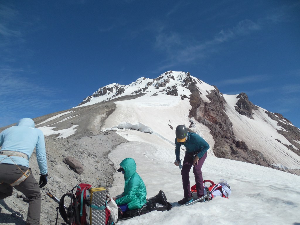
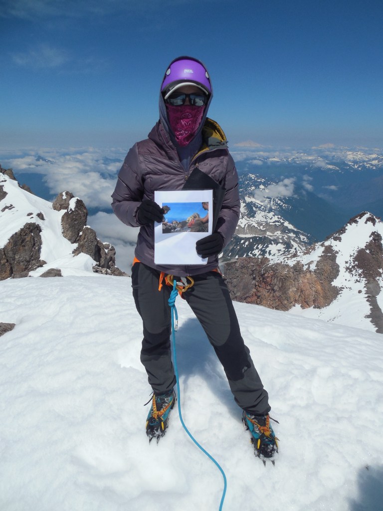
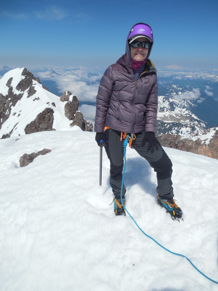
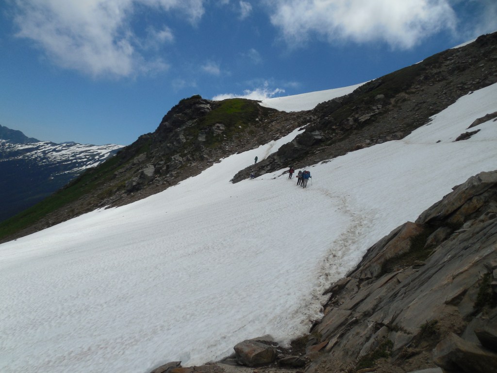
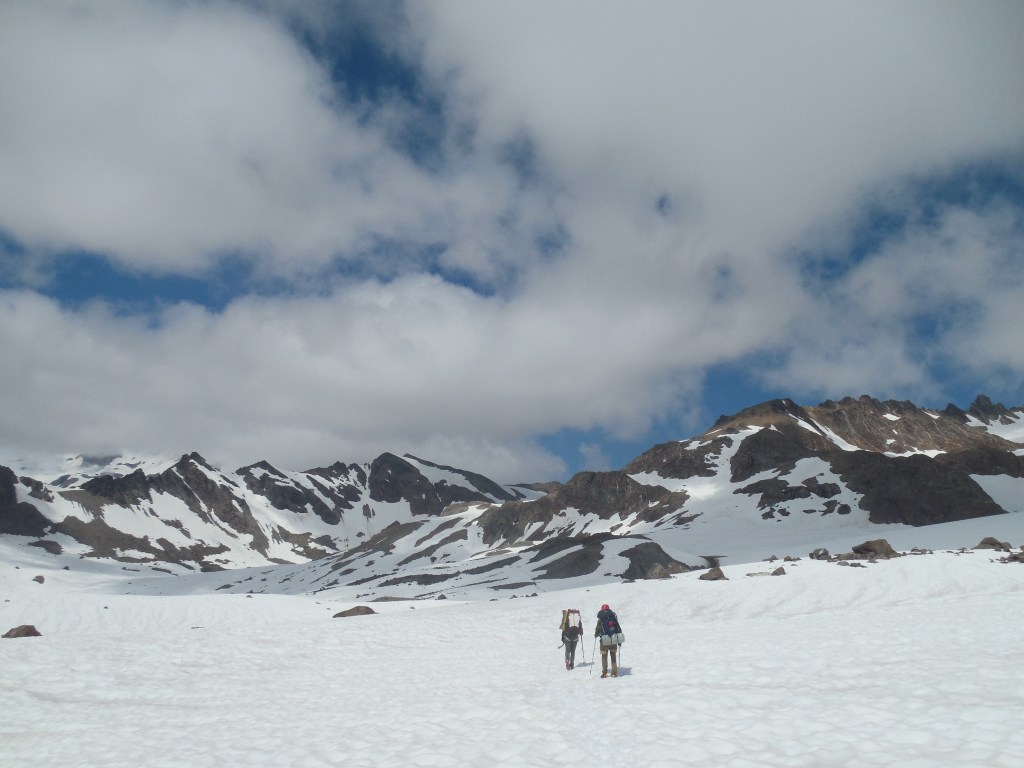
From basecamp to the summit was about 3 miles and 3000′ elevation gain – not too bad until you get to the last 0.7 mile where you gain close to 1500′ elevation! Everyone made it and after a bunch of photos and snacks, we headed back to camp.
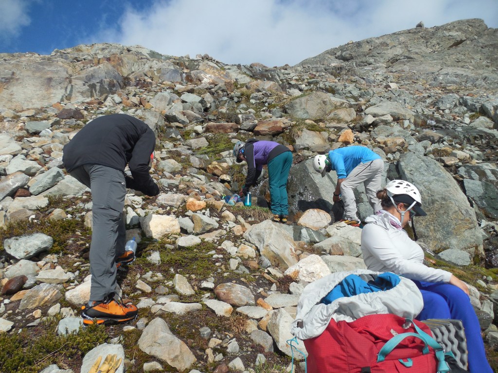
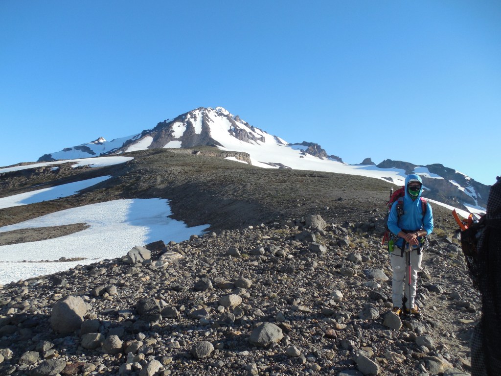
We took our time the following day, moving back down to the Mackinaw Shelter – although another fairly long day, it put us in a good position for the next morning’s hike to the van.

All in all a great trip – This was the second longest approach (32 miles roundtrip) to a summit behind Gannett Peak (50 miles roundtrip) but the rewards were amazing and I would say it was easily in my top 5 favorite US peaks.

Thanks for sharing, great trip.
I didn’t know your parents had done that not one but twice and in their 70’s? Amazing..you have the climbing spirit in your blood!!
LikeLike
So Glacier Peak once and Mt. St. Helens twice – yes, in their mid 70’s – quite the feat!
LikeLike